 Outdoor Pitstop
Cycle route · Rheinbrohl · Updated on 14 November 2026
Deutscher Limes-Radweg cycle route
Deutscher Limes-Radweg is a cycle route of 835 km from Rheinbrohl. Along the way you'll find 1,484 benches, 42 water fountains and refill points, 82 public toilets, 23 bike pumps and 5 honesty boxes and farm vending machines.
i
i
i
The route step by step
From start to finish, with what you pass along the way and the distance in between.
- 835 km
- ± 9:15 h per stage
- ↑ 8,039 m · ↓ 7,757 m
- Hard per stage
- From A to B
- National route
Start in Rheinbrohl
0 km19.4 km · 18 benches

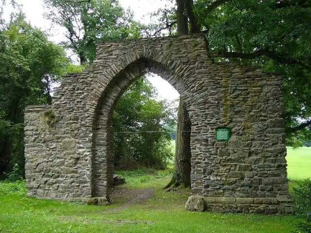
Ruine Kreuzkirche
19.4 kmRuins
10.9 km · 4 benches
Public toilet
30.3 km10.2 km · 12 benches
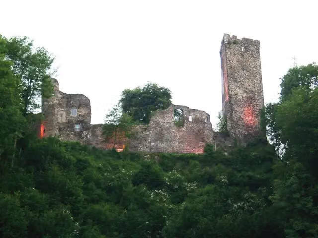
Burg Grenzau
40.5 kmAttraction
19.5 km · 24 benches
Public toilet
60.1 km644 m · 11 benches
Public toilet
60.7 km1.4 km · 16 benches
Public toilet
62.1 km3.1 km
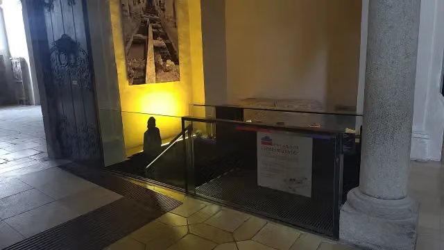
Kastell Arzbach
65.1 kmArchaeological site
9.2 km · 16 benches
Public toilet and 6 water fountains and refill points
74.4 km698 m · 17 benches
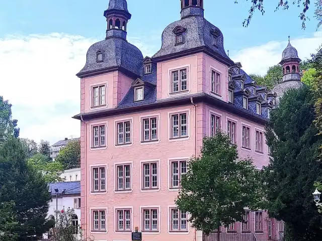
Karlsburg
75.1 kmCastle
430 m · 5 benches
3 public toilets
75.5 km21.8 km · 15 benches
Honesty box
97.3 km4.9 km · 5 benches
Public toilet
102.1 km11.2 km · 17 benches
Römerkastell Holzhausen a.d.Haide
113.3 kmCastle
17 km · 8 benches
Water point
130.3 km6.3 km · 13 benches
Bike pump
136.6 km6.9 km · 21 benches
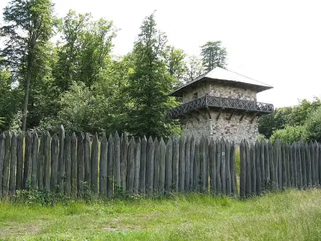
Kastell Zugmantel
143.5 kmArchaeological site
11.7 km · 21 benches
Water point
155.2 km3.5 km · 11 benches
Kastell Alteburg
158.7 kmArchaeological site
11 km · 52 benches
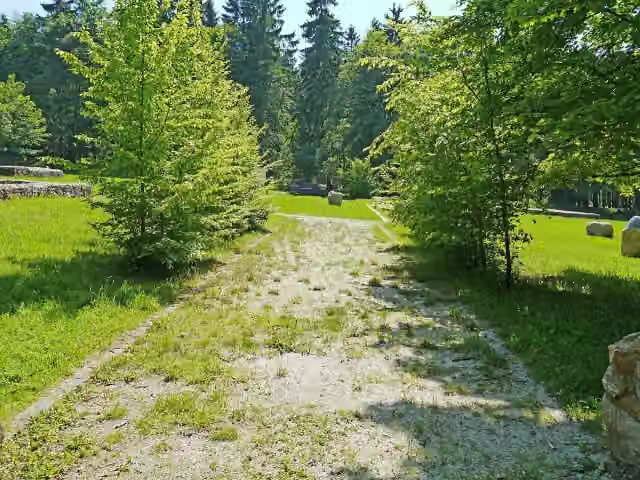
Kastell Kleiner Feldberg
169.7 kmCastle
4.2 km · 6 benches
Bike pump
173.9 km318 m · 3 benches
Römerkastell "Altes Jagdhaus"
174.2 kmRuins
7.3 km · 5 benches
Gordon Bennett Rennen 1904
181.5 kmPublic toilet
2.5 km
Römer-Parcours
184.1 km2 public toilets
151 m
Public toilet
184.2 km451 m
Public toilet
184.7 km204 m
Public toilet
184.9 km8.1 km · 2 benches
Röm. Kleinkastell Kaisergrube
192.9 kmAttraction
374 m
Römerturm am Gaulskopf
193.3 kmObservation tower
5.2 km · 3 benches
Schloss Ziegenberg
198.5 kmCastle
Show the other 133 steps
7.9 km · 7 benches
Römerkastell "Hunnenkirchhof"
206.4 kmArchaeological site
19.7 km · 13 benches
Barbarenstein
226.1 kmMemorial
24.1 km · 58 benches
Water point
250.2 km479 m · 2 benches
Public toilet
250.7 km490 m
Public toilet
251.2 km12.8 km
Water point
264 km236 m
Echzeller Burg
264.2 kmCastle
2.9 km · 2 benches
Schloß Bingenheim
267.1 kmCastle
7.7 km · 9 benches
Water point
274.8 km358 m · 5 benches
Bike pump
275.1 km6.7 km · 15 benches
2 bike pumps
281.8 km3.6 km · 6 benches
Kleinkastell "Auf dem Buchkopf"
285.3 kmArchaeological site
14.1 km · 26 benches
Public toilet
299.5 km2.5 km · bench
Römisches Kastell / Bad
302 kmArchaeological site
3.5 km · 2 benches
Brunnenkranz der Klosterruine
305.5 kmRuins
3.3 km · 2 benches
Kleinkastell Neuwirtshaus
308.7 kmArchaeological site
5.4 km · 6 benches
2 water fountains and refill points and bike pump
314.1 km7.7 km · 14 benches
Pulverturm
321.8 kmAttraction
314 m · 25 benches
Public toilet
322.1 km266 m · 22 benches
Public toilet
322.3 km250 m · 5 benches
Bike pump
322.6 km3.9 km · 16 benches
Bike pump
326.5 km13.5 km · 41 benches
Pompejanum
339.9 kmMuseum
884 m · 27 benches
Public toilet
340.8 km781 m · 3 benches
Water point
341.6 km4.3 km · 11 benches
Water point
345.9 km4.2 km · 6 benches
Public toilet and bike pump
350.1 km5.1 km · 17 benches
Public toilet
355.1 km4.6 km · 36 benches
Römermuseum Obernburg
359.7 kmBike pump
158 m · 3 benches
2 public toilets
359.9 km6.2 km · 15 benches
Schifffahrts- und Schiffbaumuseum
366 kmMuseum
1.3 km · 8 benches
Public toilet
367.4 km503 m
Public toilet
367.9 km10.6 km · 42 benches
Kastell Miltenberg-Altstadt
378.5 kmPublic toilet
6.1 km · 7 benches
Bike pump
384.6 km3.1 km · 7 benches
Templerhaus
387.8 kmAttraction
12.4 km · 24 benches
Odinia-Denkmal
400.1 kmMemorial
2.2 km · 8 benches
Stadt- und Wallfahrtsmuseum and 2 more
402.3 kmElfenbeinmuseum, Schloss Walldürn and public toilet
344 m · 5 benches
Museum Zeit(T)räume
402.7 kmPublic toilet
6.2 km
Kleinkastell Hönehaus
408.9 kmArchaeological site
3.9 km
Kleinkastell Rinschheim
412.8 kmArchaeological site
5.2 km · 16 benches
Water point
418 km834 m · 4 benches
Public toilet
418.8 km5.8 km · 14 benches
Public toilet and bike pump
424.6 km256 m · 6 benches
Römermuseum Osterburken
424.9 kmPublic toilet
331 m · 5 benches
Annexkastell Osterburken
425.2 kmCastle
866 m · bench
5 water fountains and refill points
426.1 km217 m · 6 benches
Nachbildung Limes-Wachturm
426.3 kmObservation tower
2.4 km · 2 benches
Honesty box
428.7 km10.6 km · 3 benches
Water point
439.3 km7.2 km · 11 benches
3 public toilets
446.5 km182 m · 2 benches
Rotes Schloss
446.7 km2 public toilets
173 m · 8 benches
Freilichtmuseum Römerbad
446.9 kmArchaeological site
5.9 km · 24 benches
Public toilet
452.8 km5.4 km
Limes Blick Zweiflingen
458.2 kmObservation tower
4.8 km · 5 benches
2 public toilets
463 km1.1 km · 5 benches
Bike pump
464.1 km783 m · 18 benches
Bike pump
464.9 km684 m
Public toilet
465.6 km18.6 km · 21 benches
Pahl-Museum
484.2 kmMuseum
2.6 km
Römermuseum and 2 more
486.8 kmJagdschloss Mainhardt and Kastell Mainhardt
2.7 km · 4 benches
Public toilet
489.5 km3.9 km · 3 benches
Bike pump
493.4 km153 m
Public toilet
493.6 km11.7 km · 16 benches
Walterichskapelle and 1 more
505.2 kmStadtkirche Murrhardt, water point and bike pump
151 m · 3 benches
Public toilet
505.4 km8 km · 5 benches
Honesty box
513.4 km6.2 km · 11 benches
Public toilet
519.6 km841 m · 13 benches
Public toilet
520.4 km153 m
Public toilet
520.6 km6.9 km · bench
Gedenk- und Dokumentationsstätte Konzentrationslager Welzheim
527.5 kmPublic toilet
6.9 km · 8 benches
Honesty box
534.4 km574 m
Bike pump
535 km14.1 km · 12 benches
Public toilet and water point
549.1 km220 m · 7 benches
2 public toilets and 2 water fountains and refill points
549.3 km254 m · 12 benches
Public toilet and bike pump
549.6 km167 m · 3 benches
Forum Gold & Silber and 2 more
549.7 kmStauferfries and Fünfknopfturm
179 m · 21 benches
Ein Zeichen der Erinnerung – die Synagoge Schwäbisch Gmünd and 1 more
549.9 kmPalais Debler
320 m · 9 benches
Museum im Prediger and 2 more
550.2 kmJohanniskirche, Kriegerdenkmal 1. und 2. Weltkrieg and public toilet
152 m
Museum Panoramamuseum und Epos zur Stadtgeschichte
550.4 kmMuseum
273 m · 4 benches
Public toilet
550.6 km202 m
Wasserturm
550.9 kmAttraction
10.4 km · 7 benches
Honesty box
561.3 km362 m
Kastell Unterböbingen
561.6 kmArchaeological site
3.2 km · 3 benches
Public toilet and water point
564.8 km13.8 km · 10 benches
Urweltmuseum
578.7 kmPublic toilet and bike pump
408 m · 12 benches
Water point and bike pump
579.1 km3.1 km · 29 benches
Schloß Wasseralfingen
582.2 kmCastle
3.2 km · 4 benches
Public toilet
585.3 km5.7 km · 18 benches
2 public toilets
591 km2.6 km · 2 benches
Limestor Dalkingen
593.6 kmArchaeological site
8.4 km · 3 benches
Burg Erpfental
602 kmArchaeological site
3.8 km
Bike pump
605.8 km15.9 km
Public toilet
621.8 km18.2 km · 6 benches
Heimatmuseum Spatz
639.9 kmMuseum
7.5 km · bench
Public toilet
647.4 km1 km
Public toilet
648.4 km12.5 km · 17 benches
Public toilet
660.9 km1.1 km · 4 benches
Public toilet and water point
662 km296 m · 20 benches
Färberturm
662.3 kmPublic toilet
189 m · 10 benches
3 public toilets
662.5 km298 m · 11 benches
Public toilet
662.8 km27.3 km · 14 benches
Schloss Ellingen and 1 more
690.1 kmSchloßstraße and bike pump
166 m
Water point
690.3 km3.2 km · 9 benches
Ellinger Tor
693.5 kmAttraction
14.1 km · 7 benches
Schloss Raitenbuch
707.5 kmCastle
27.2 km · 13 benches
Public toilet
734.8 km7.6 km · 20 benches
Public toilet and bike pump
742.4 km272 m
Limes-Gedenkstein
742.7 kmPublic toilet
265 m · bench
Public toilet
742.9 km946 m · 3 benches
Römer- und Bajuwaren-Museum
743.9 kmMuseum
19.7 km · 8 benches
Schloss Schamhaupten
763.6 kmCastle
1.7 km · bench
Schloss Sandersdorf
765.2 kmCastle
2.9 km
Water point
768.1 km1.4 km · bench
Kriegerdenkmal and 2 more
769.5 kmIgnaz-Günther-Museum and Burg Altmannstein
11.6 km · 5 benches
Public toilet and water point
781.1 km14.5 km · 11 benches
Public toilet
795.6 km1.6 km · 3 benches
König-Maximilan-Denkmal
797.2 kmMemorial
253 m · 2 benches
Archäologisches Museum
797.4 kmPublic toilet and water point
157 m
Water point
797.6 km4.1 km · 18 benches
Water point
801.7 km2.4 km · 3 benches
Water point
804.1 km9.8 km · 14 benches
Water point
814 km1.6 km · 5 benches
Water point
815.6 km13.8 km · 21 benches
Water point
829.4 km1.1 km · 8 benches
Water point
830.5 km3 km · 28 benches
document Kepler and 1 more
833.4 kmOld Town Hall
237 m · 3 benches
Goliathhaus and 2 more
833.7 kmBrückenturm-Museum and Porta praetoria
268 m · 14 benches
Donau-Schiffahrts-Museum Regensburg
833.9 kmMuseum
171 m · 9 benches
document Niedermünster and 1 more
834.1 kmMuseum der Bayerischen Geschichte and public toilet
267 m · 2 benches
Minoritenkirche and 1 more
834.4 kmHistorisches Museum, 2 public toilets and water point
170 m · 3 benches
Alte Dechantei and 1 more
834.6 kmStift zu Unserer Lieben Frau zur Alten Kapelle and public toilet
495 m · 16 benches
Finish
835 kmAt the finish: Keplerdenkmal, public toilet and water point.
Longest stretch without a toilet: 79.4 kmBetween 102.1 km and 181.5 km there is no public toilet within 100 m of the route.
The route with the water points, toilets and sights within 100 m of it.
91 sights along the way
In the order you pass them. With the Outdoor Pitstop app you hear their story on the spot. 83 more along the route are on the map.
i
Photo: Frila · Wikimedia Commons · CC BY-SA 3.0View the photo on Wikimedia CommonsRuins · after 19.4 km
i
Photo: Historiograf · Wikimedia Commons · CC BY 2.0View the photo on Wikimedia CommonsAttraction · after 40.5 km

Archaeological site · after 65.1 km
i
Photo: LoKiLeCh · Wikimedia Commons · CC BY-SA 4.0View the photo on Wikimedia CommonsCastle · after 75.1 km
Castle · after 113.3 km
i
Photo: Oliver Abels (SBT) · Wikimedia Commons · CC BY 2.5View the photo on Wikimedia CommonsArchaeological site · after 143.5 km
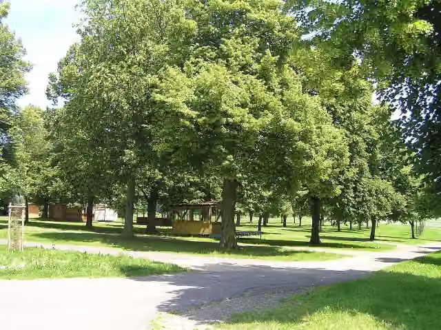
Archaeological site · after 158.7 km
i
Photo: Simsalabimbam · Wikimedia Commons · CC BY-SA 3.0View the photo on Wikimedia CommonsCastle · after 169.7 km
Stages (6)
- 1Deutscher Limes-Radweg 1. Abschnitt Bad Hönningen - Holzhausen110 km
- 2Deutscher Limes-Radweg 2. Abschnitt Holzhausen - Hungen137 km
- 3Deutscher Limes-Radweg 3. Abschnitt Hungen - Miltenberg130.2 km
- 4Deutscher Limes-Radweg 4. Abschnitt Miltenberg - Lorch164.2 km
- 5Deutscher Limes-Radweg 5. Abschnitt Lorch - Weißenburg152 km
- 6Deutscher Limes-Radweg 6. Abschnitt Weißenburg - Regensburg141.6 km
Elevation and terrain
- Up
- ↑ 8,039 m
- Down
- ↓ 7,757 m
- Highest point
- 767 m
- Lowest point
- 65 m
- 5-10% slope · 51.5 km
- 10-15% slope · 2.5 km
- 6 stairs
Elevation from Copernicus GLO-30 (European Union and ESA), smoothed.
produced using Copernicus WorldDEM-30 © DLR e.V. 2010-2014 and © Airbus Defence and Space GmbH 2014-2018 provided under COPERNICUS by the European Union and ESA; all rights reserved
Way types
835 km in total- Track: 323.3 km
- Road: 225.5 km
- Street: 129.1 km
- Path: 69.3 km
- Busy road: 44.3 km
- Cycle path: 37.7 km
- Footpath (walk your bike): 3.2 km
- Steps (carry your bike): 6 stairs
- Unknown: 150 m
Surfaces
835 km in total- Asphalt: 538.7 km
- Gravel: 133.4 km
- Paved: 37.9 km
- Unpaved: 3.2 km
- Natural: 150 m
- Unknown: 119.7 km
About the cycle route Deutscher Limes-Radweg
Updated on 14 November 2026, with data from OpenStreetMap, the AHN and Copernicus.
Where do you cycle?
Deutscher Limes-Radweg is a cycle route of 835 km that starts in Rheinbrohl. It does not end where it starts. Along the way you pass Ruine Kreuzkirche (after 19.4 km), Burg Grenzau (after 40.5 km) and Kastell Arzbach (after 65.1 km).
How hard is the route?
You climb 8,039 m in total and descend 7,757 m. There are 6 flights of steps along the way. Allow ± 9:15 h per stage, without breaks. Per stage the level is hard.
What roads do you cycle on?
The longest part is track (323.3 km), road (225.5 km) and street (129.1 km). Of the surface, 538.7 km asphalt and 133.4 km gravel. For 119.7 km the surface is not known.
Pitstops along the way
Within 100 metres of the route there are 1,484 benches, 42 water fountains and refill points, 82 public toilets, 23 bike pumps and 5 honesty boxes and farm vending machines. The longest stretch without a toilet is 79.4 km. The Outdoor Pitstop app navigates you there.
Part of European Limes Cycling Route
Cycle routes nearby
6- EuroVelo 15 - Rheinradweg - Teilstrecke Kamp-Bornhofen - KölnHard · From A to B130.6 km
- Rhein-Route D8 [Rheinland-Pfalz]Hard · From A to B325.2 km
- EuroVelo 15 - Rheinradweg - Teilstrecke Bingen - KölnHard · From A to B171.6 km
- Radweg Deutsche Einheit - Etappe 1Hard · From A to B73 km
- EV4 Germany, Köln - KoblenzHard · From A to B107.5 km
- BrohltalradwegModerate · From A to B30.2 km
Sights nearby
Within 10 km of the route, best known first.
- 1
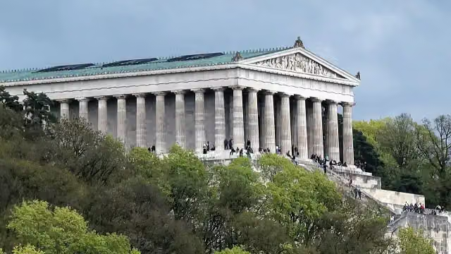 WalhallaAttraction · 8.9 km from the route
- 2
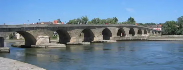 Steinerne BrückeAttraction · 171 m from the route
- 3
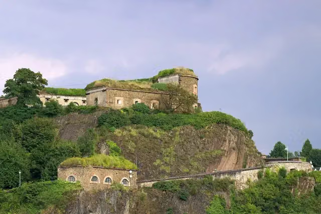 Ehrenbreitstein FortressCastle · 5.6 km from the route
- 4
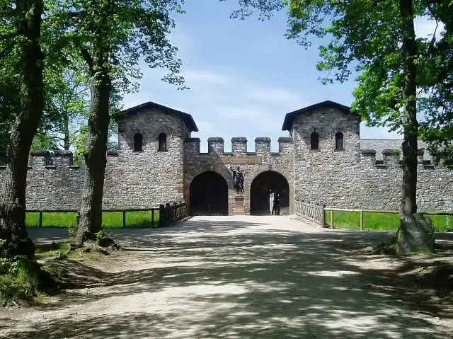 Römerkastell SaalburgMuseum · 130 m from the route
- 5
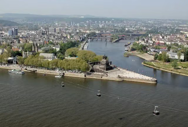 Deutsches EckViewpoint · 6.1 km from the route
- 6
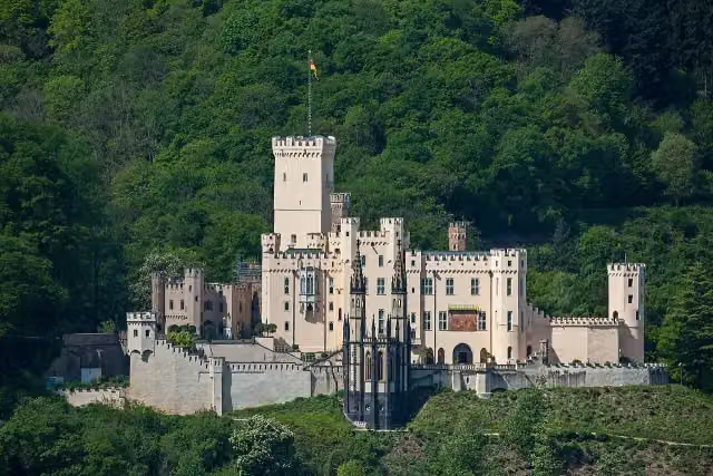 Schloss StolzenfelsCastle · 6.7 km from the route
- 7
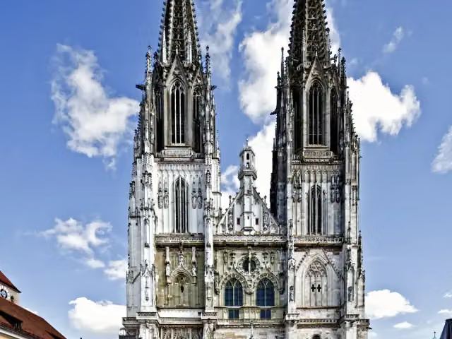 Saint Peter's CathedralAttraction · 158 m from the route
- 8
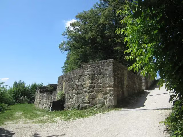 Burgruine HohenstaufenCastle · 5.2 km from the route
- 9
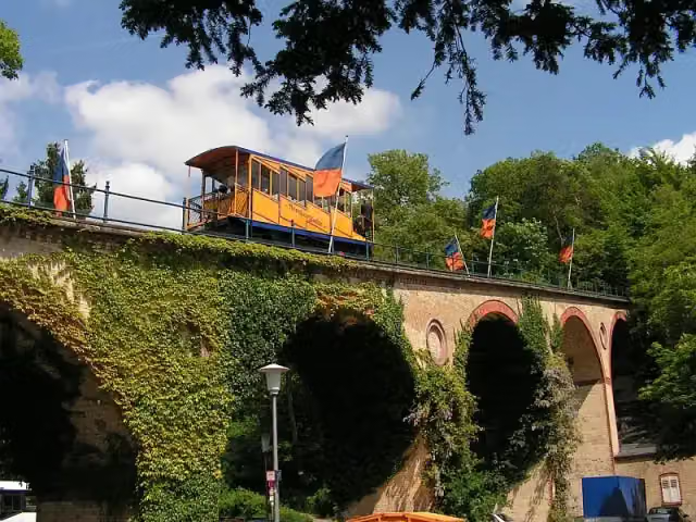 NerotalAttraction · 8.1 km from the route
- 10
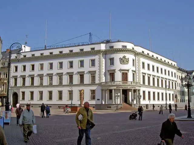 Stadtschloss WiesbadenCastle · 9.2 km from the route
- 11
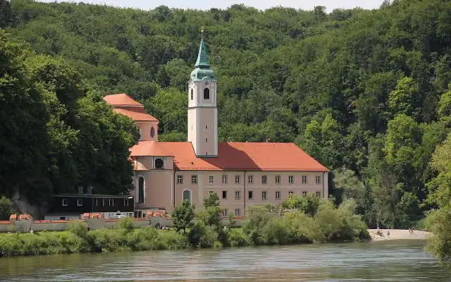 Kloster WeltenburgAttraction · 670 m from the route
- 12
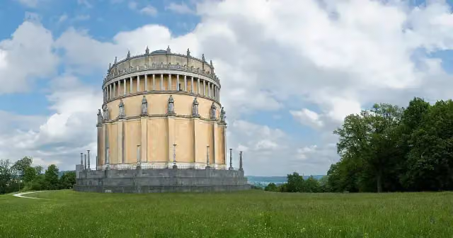 Hall of LiberationAttraction · 686 m from the route
- 13
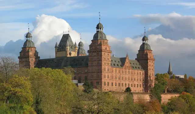 Schloss JohannisburgAttraction · 102 m from the route
- 14
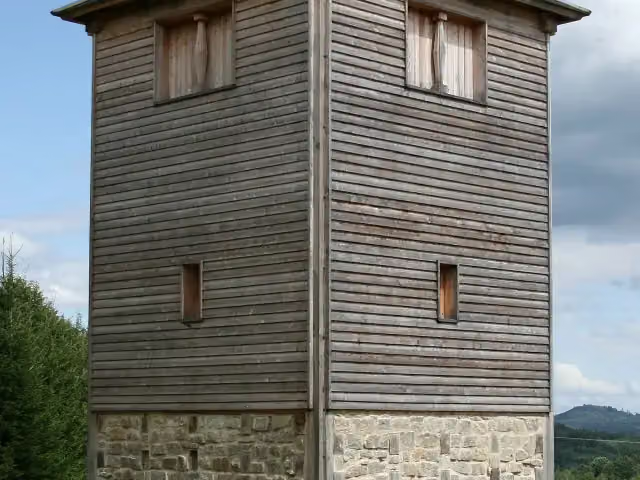 Römischer LimesAttraction · 141 m from the route
- 15
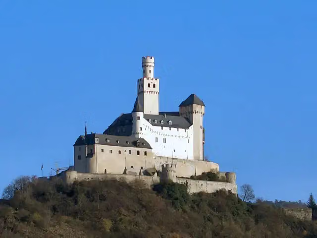 MarksburgMuseum · 5.2 km from the route
- 16
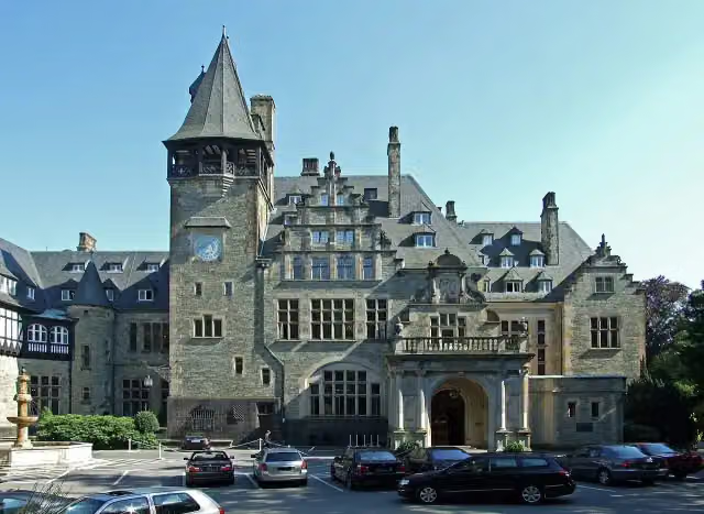 Schloss FriedrichshofCastle · 6.3 km from the route
- 17
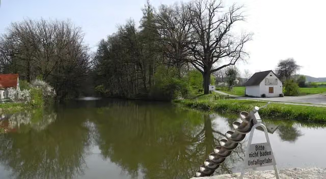 Fossa CarolinaAttraction · 6.2 km from the route
- 18
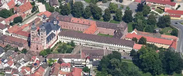 Abbey ChurchAttraction · 123 m from the route
- 19
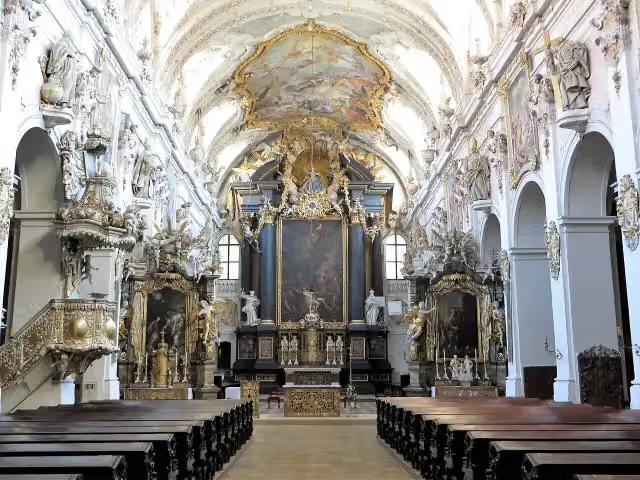 Basilica Sankt EmmeramAttraction · 530 m from the route
- 20
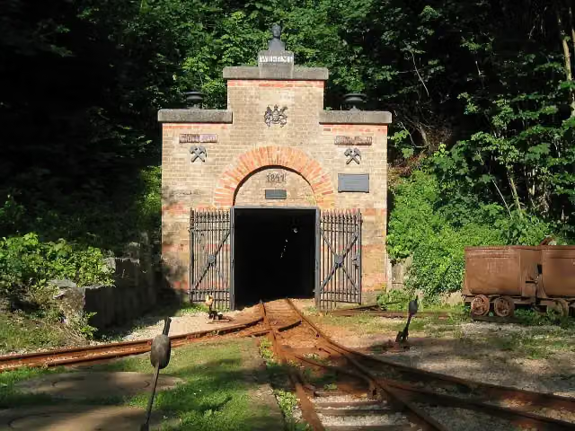 Mining museum (show mine)Museum · 1.7 km from the route
- 21
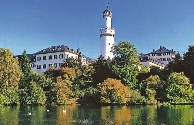 Bad Homburger SchlossCastle · 5.5 km from the route
- 22
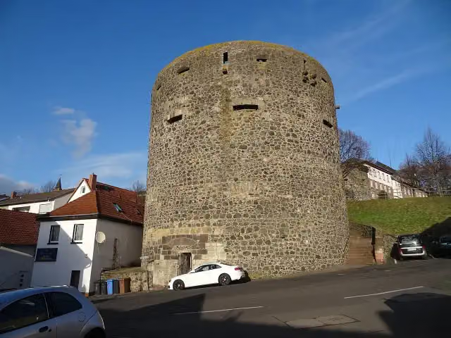 Dicker TurmRuins · 7.5 km from the route
- 23
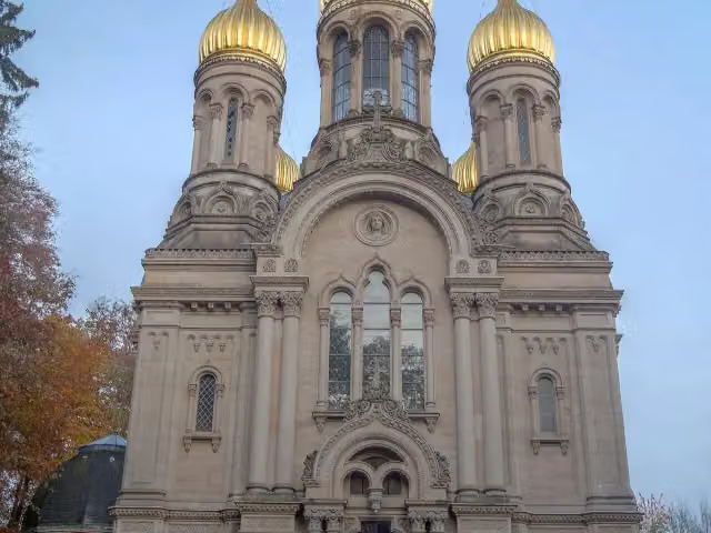 Russian Orthodox Church of Saint Elizabeth in WiesbadenAttraction · 7.7 km from the route
- 24
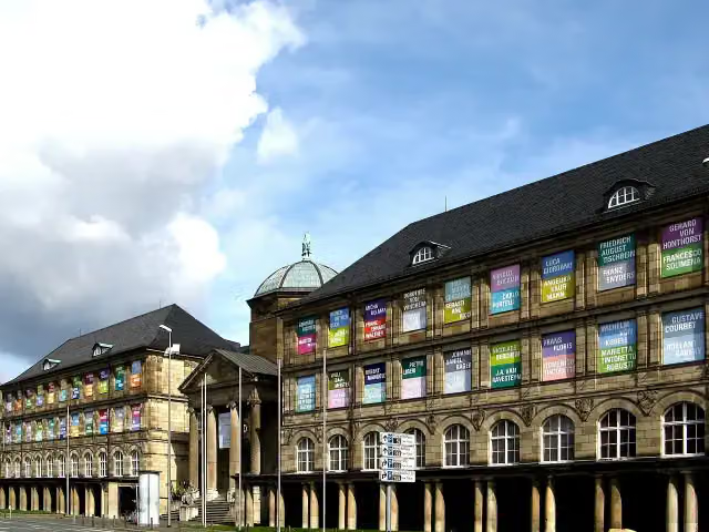 Museum WiesbadenMuseum · 9.8 km from the route
- 25
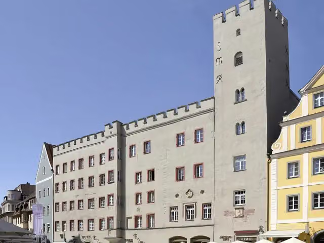 Goldenes KreuzAttraction · 182 m from the route
Explore more
More cycle routes around Rheinbrohl
Frequently asked questions
How long is Deutscher Limes-Radweg?
Deutscher Limes-Radweg is 835 km long, in 6 parts of 139.2 km on average. Allow ± 9:15 h per part of riding: 15 km an hour, without breaks.
Is this route a circular ride?
No, the route starts and ends at different spots.
Where does this route start?
The route starts in Rheinbrohl.
How hard is this route?
Hard per stage, with 1,340 m per stage of climbing.
Are there toilets along this route?
Yes, there are 82 public toilets within 100 m of the route. The longest stretch without a toilet is 79.4 km.
Can you fill up with water along this route?
Yes, there are 42 water fountains and refill points within 100 m of the route.
What is there to see along this route?
Along the way you pass Ruine Kreuzkirche, Burg Grenzau and Kastell Arzbach.
Can I download this route as a GPX file?
Yes. Sign in with your Outdoor Pitstop account and choose Download GPX at the top of this page: 10 routes a month for free, unlimited with Pro.
Starting point
More routes from this place
Route data © OpenStreetMap contributors





