 Outdoor Pitstop
Cycle route · Kleinheubach · Updated on 14 November 2026
Deutscher Limes-Radweg 4. Abschnitt Miltenberg - Lorch cycle route
Deutscher Limes-Radweg 4. Abschnitt Miltenberg - Lorch is a cycle route of 164.2 km from Kleinheubach. Along the way you'll find 274 benches, 8 water fountains and refill points, 22 public toilets, 7 bike pumps and 3 honesty boxes and farm vending machines.
i
i
i
The route step by step
From start to finish, with what you pass along the way and the distance in between.
- 164.2 km
- ± 10:55 h
- ↑ 2,119 m · ↓ 1,957 m
- Hard
- From A to B
- National route
Start in Kleinheubach
0 km1.3 km · 3 benches

Kastell Miltenberg-Altstadt
1.3 kmPublic toilet
6.1 km · 7 benches
Bike pump
7.4 km3.1 km · 7 benches
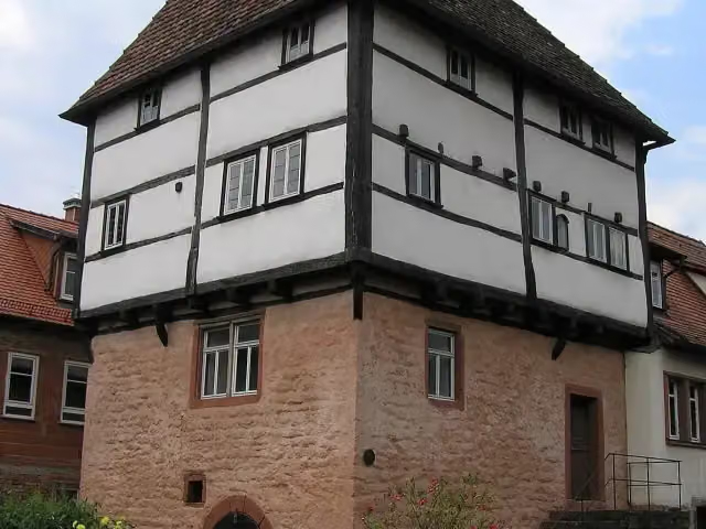
Templerhaus
10.5 kmAttraction
12.4 km · 24 benches
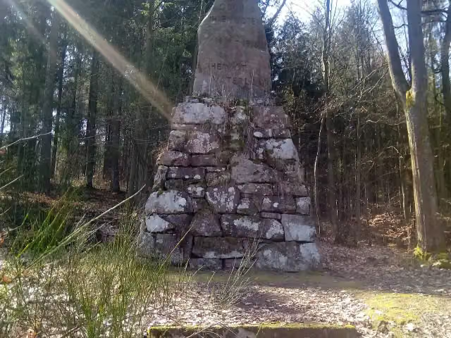
Odinia-Denkmal
22.9 kmMemorial
2.2 km · 8 benches
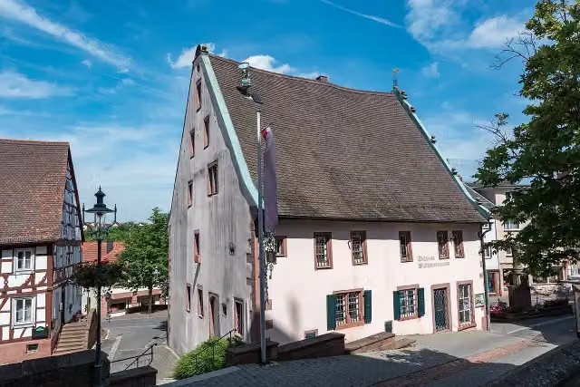
Stadt- und Wallfahrtsmuseum and 2 more
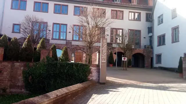
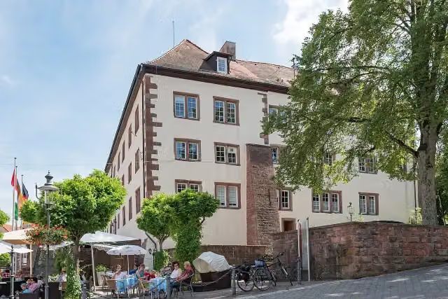
25.1 kmElfenbeinmuseum, Schloss Walldürn and public toilet
344 m · 5 benches
Museum Zeit(T)räume
25.5 kmPublic toilet
6.2 km
Kleinkastell Hönehaus
31.6 kmArchaeological site
3.9 km
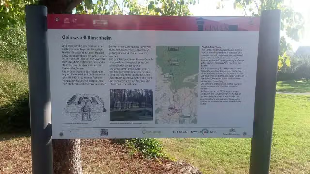
Kleinkastell Rinschheim
35.5 kmArchaeological site
5.2 km · 16 benches
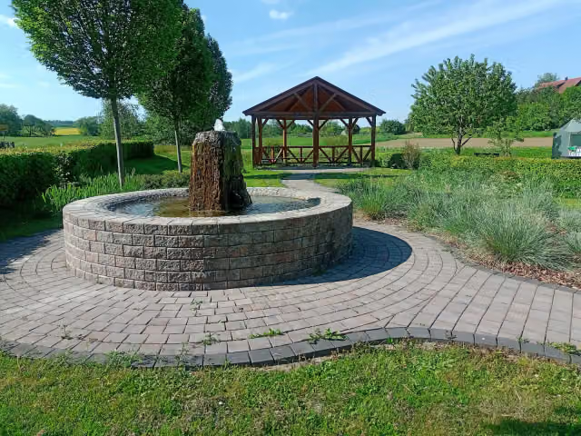
Water point
40.8 km834 m · 4 benches
Public toilet
41.6 km5.8 km · 14 benches
Public toilet and bike pump
47.4 km256 m · 6 benches
Römermuseum Osterburken
47.7 kmPublic toilet
331 m · 5 benches
Annexkastell Osterburken
48 kmCastle
866 m · bench
5 water fountains and refill points
48.9 km217 m · 6 benches
Nachbildung Limes-Wachturm
49.1 kmObservation tower
2.4 km · 2 benches
Honesty box
51.5 km10.6 km · 3 benches
Water point
62.1 km7.2 km · 11 benches
3 public toilets
69.3 km182 m · 2 benches
Rotes Schloss
69.5 km2 public toilets
173 m · 8 benches
Freilichtmuseum Römerbad
69.7 kmArchaeological site
5.9 km · 24 benches
Public toilet
75.6 km5.4 km
Limes Blick Zweiflingen
81 kmObservation tower
4.8 km · 5 benches
2 public toilets
85.8 km1.1 km · 5 benches
Bike pump
86.9 km783 m · 18 benches
Bike pump
87.7 km684 m
Public toilet
88.4 km18.6 km · 21 benches
Pahl-Museum
107 kmMuseum
2.6 km
Römermuseum and 2 more
109.6 kmJagdschloss Mainhardt and Kastell Mainhardt
2.7 km · 4 benches
Public toilet
112.3 km
Show the other 12 steps
3.9 km · 3 benches
Bike pump
116.2 km153 m
Public toilet
116.4 km11.7 km · 16 benches
Walterichskapelle and 1 more
128 kmStadtkirche Murrhardt, water point and bike pump
151 m · 3 benches
Public toilet
128.2 km8 km · 5 benches
Honesty box
136.2 km6.2 km · 11 benches
Public toilet
142.4 km841 m · 13 benches
Public toilet
143.2 km153 m
Public toilet
143.4 km6.9 km · bench
Gedenk- und Dokumentationsstätte Konzentrationslager Welzheim
150.3 kmPublic toilet
6.9 km · 8 benches
Honesty box
157.2 km574 m
Bike pump
157.8 km6.5 km · 5 benches
Finish
164.2 km
Longest stretch without a toilet: 23.9 kmBetween 88.4 km and 112.3 km there is no public toilet within 100 m of the route.
The route with the pitstops and sights within 100 m of it.
22 sights along the way
In the order you pass them. With the Outdoor Pitstop app you hear their story on the spot. 14 more along the route are on the map.

Archaeological site · after 1.3 km
Attraction · after 10.5 km
i
Photo: Granpar · Wikimedia Commons · CC BY-SA 4.0View the photo on Wikimedia CommonsMemorial · after 22.9 km
i
Photo: Tilman2007 · Wikimedia Commons · CC BY-SA 4.0View the photo on Wikimedia CommonsMuseum · after 25.1 km
i
Photo: Granpar · Wikimedia Commons · CC BY-SA 3.0View the photo on Wikimedia CommonsMuseum · after 25.1 km
i
Photo: Tilman2007 · Wikimedia Commons · CC BY-SA 4.0View the photo on Wikimedia CommonsCastle · after 25.2 km
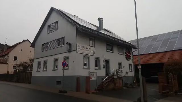
i
Photo: Granpar · Wikimedia Commons · CC BY-SA 3.0View the photo on Wikimedia CommonsMuseum · after 25.6 km
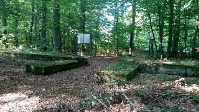
Archaeological site · after 31.6 km
Elevation and terrain
- Up
- ↑ 2,119 m
- Down
- ↓ 1,957 m
- Highest point
- 568 m
- Lowest point
- 127 m
- 5-10% slope · 17.3 km
- 10-15% slope · 825 m
Elevation from Copernicus GLO-30 (European Union and ESA), smoothed.
produced using Copernicus WorldDEM-30 © DLR e.V. 2010-2014 and © Airbus Defence and Space GmbH 2014-2018 provided under COPERNICUS by the European Union and ESA; all rights reserved
Way types
164.2 km in total- Road: 63.2 km
- Track: 47.8 km
- Street: 26 km
- Path: 14.4 km
- Busy road: 10.7 km
- Footpath (walk your bike): 1.2 km
- Cycle path: 500 m
Surfaces
164.2 km in total- Asphalt: 135.4 km
- Gravel: 12.7 km
- Paved: 3.2 km
- Unknown: 12.5 km
About the cycle route Deutscher Limes-Radweg 4. Abschnitt Miltenberg - Lorch
Updated on 14 November 2026, with data from OpenStreetMap, the AHN and Copernicus.
Where do you cycle?
Deutscher Limes-Radweg 4. Abschnitt Miltenberg - Lorch is a cycle route of 164.2 km that starts in Kleinheubach. It does not end where it starts. Along the way you pass Kastell Miltenberg-Altstadt (after 1.3 km), Templerhaus (after 10.5 km) and Odinia-Denkmal (after 22.9 km).
How hard is the route?
You climb 2,119 m in total and descend 1,957 m. Allow ± 10:55 h, without breaks. The level is hard.
What roads do you cycle on?
The longest part is road (63.2 km), track (47.8 km) and street (26 km). Of the surface, 135.4 km asphalt and 12.7 km gravel. For 12.5 km the surface is not known.
Pitstops along the way
Within 100 metres of the route there are 274 benches, 8 water fountains and refill points, 22 public toilets, 7 bike pumps and 3 honesty boxes and farm vending machines. You can fill your bottle after 40.8 km, after 48.9 km, after 62.1 km and after 128 km. The longest stretch without a toilet is 23.9 km. The Outdoor Pitstop app navigates you there.
Part of Deutscher Limes-Radweg
Cycle routes nearby
6- Deutscher Limes-Radweg 3. Abschnitt Hungen - MiltenbergHard · From A to B130.2 km
- Saar-Mosel-Main [Mainz - Miltenberg]Hard · From A to B134.9 km
- Main-Radweg, Abschnitt 11 "Miltenberg bis Aschaffenburg"Moderate · From A to B41.4 km
- EV4 Germany, Frankfurt - WurzburgHard · From A to B227.6 km
- 3-Länder-RadwegHard · From A to B108.1 km
- Main-Tauber-Fränkischer Rad-AchterHard · From A to B332.1 km
Sights nearby
Within 10 km of the route, best known first.
- 1
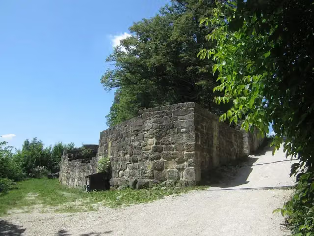 Burgruine HohenstaufenCastle · 6.2 km from the route
- 2
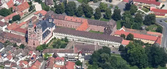 Abbey ChurchAttraction · 123 m from the route
- 3
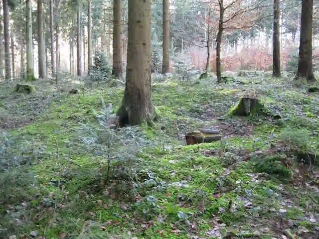 Röm. Kleinkastell EbniseeArchaeological site · 102 m from the route
- 4
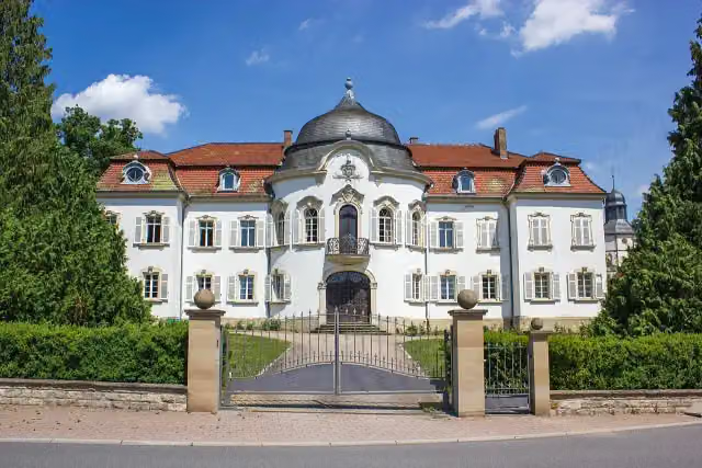 Weißes SchlossCastle · 123 m from the route
- 5
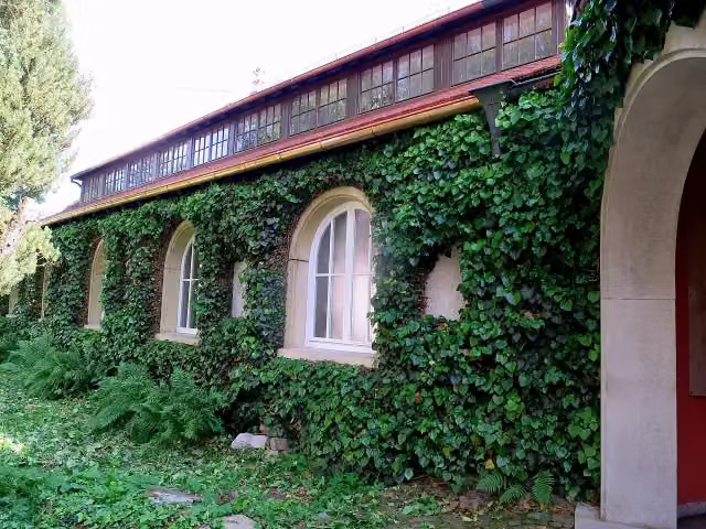 Carl-Schweizer-MuseumMuseum · 144 m from the route
- 6
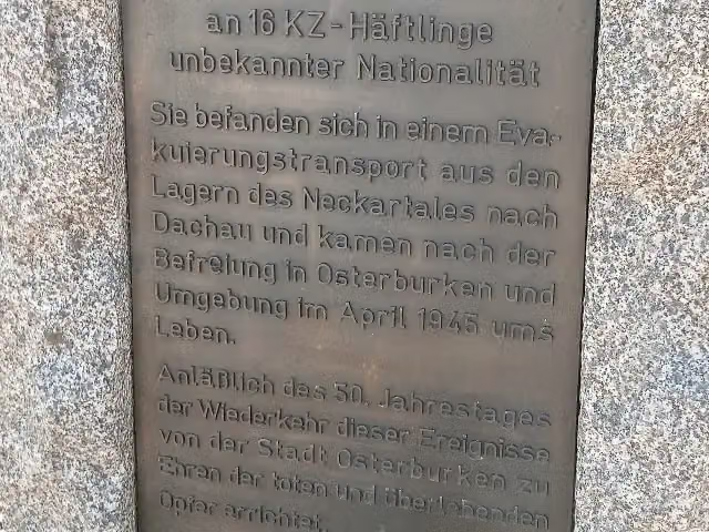 MemorialMemorial · 158 m from the route
- 7
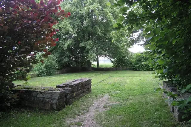 Kleinkastell RötelseeAttraction · 170 m from the route
- 8
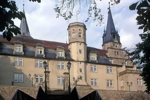 Schloss ÖhringenCastle · 180 m from the route
- 9
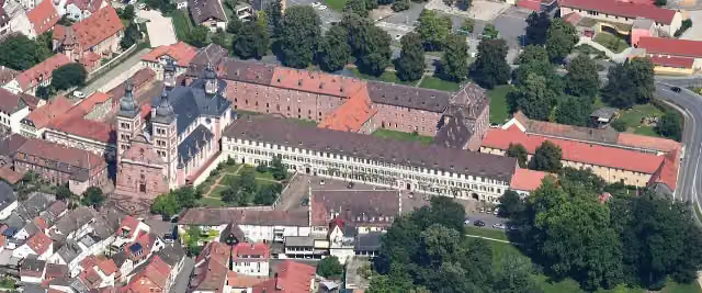 Schloß AmorbachCastle · 186 m from the route
- 10
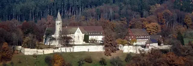 Kloster LorchAttraction · 199 m from the route
- 11
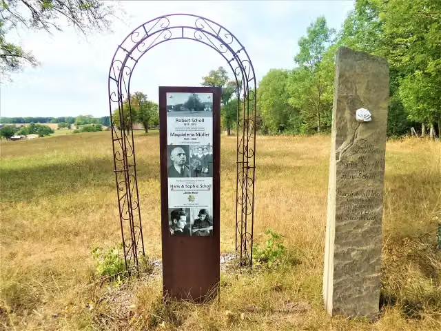 Denkmal für die Familie Scholl in SteinbrückMemorial · 239 m from the route
- 12
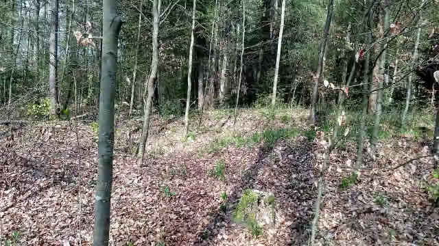 Wachturm WP 8/39Archaeological site · 242 m from the route
- 13
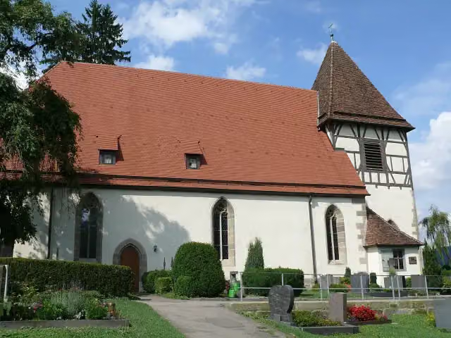 WalterichskircheAttraction · 244 m from the route
- 14
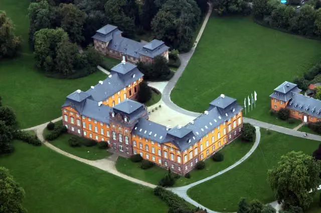 Schloss LöwensteinCastle · 333 m from the route
- 15
 GotthardsturmObservation tower · 348 m from the route
- 16
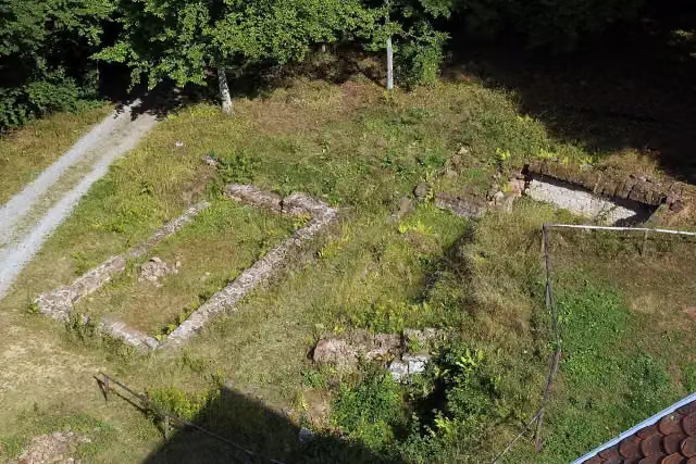 Burg FrankenbergArchaeological site · 350 m from the route
- 17
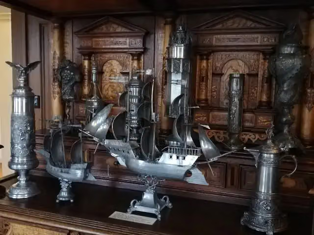 Weygang MuseumMuseum · 350 m from the route
- 18
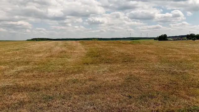 Kastellbad WalldürnArchaeological site · 408 m from the route
- 19
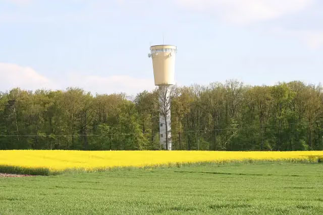 Wasserturm BuchhornViewpoint · 513 m from the route
- 20
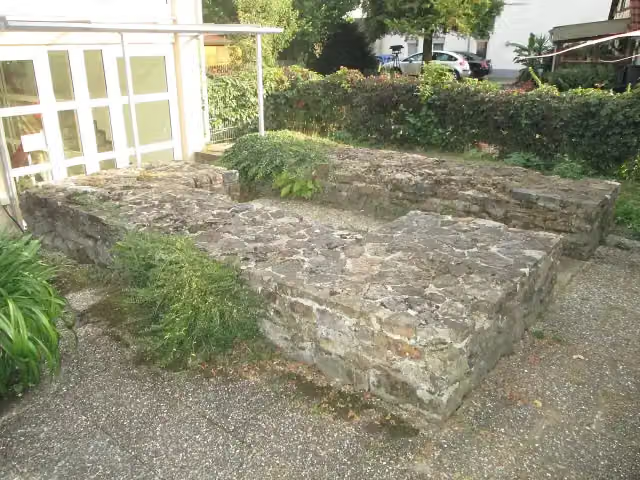 Kastell LorchArchaeological site · 661 m from the route
- 21
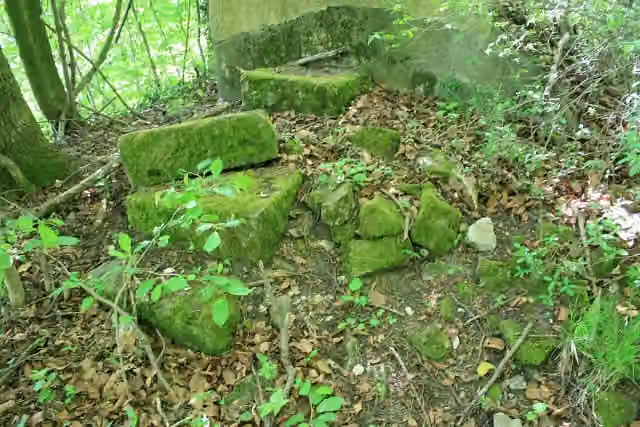 Burg GleichenCastle · 672 m from the route
- 22
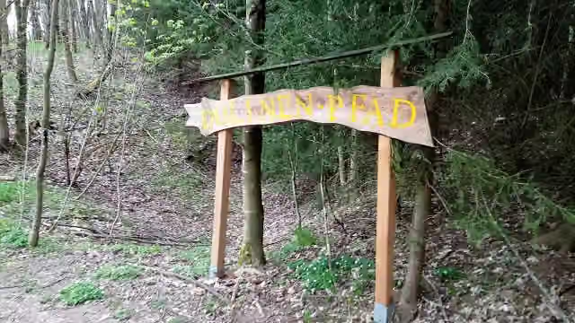 DolinenpfadAttraction · 717 m from the route
- 23
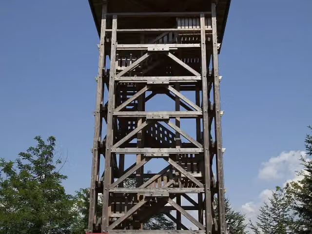 RiesbergturmObservation tower · 759 m from the route
- 24
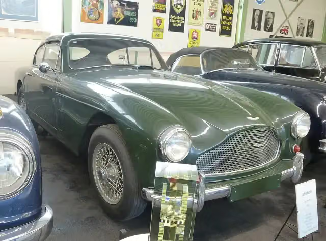 motormuseum-oehringenMuseum · 804 m from the route
- 25
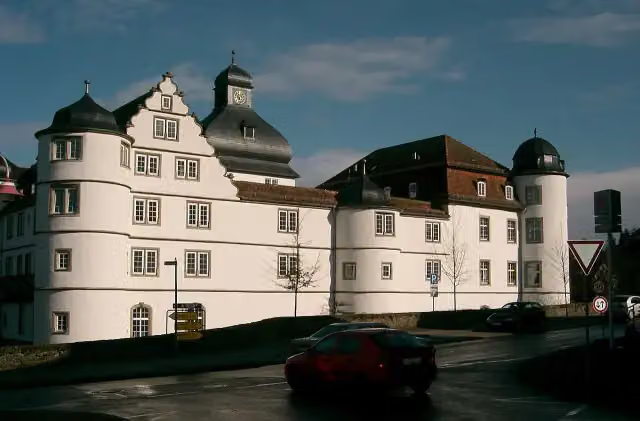 Schloss PfedelbachCastle · 952 m from the route
Explore more
More cycle routes around Kleinheubach
Frequently asked questions
How long is Deutscher Limes-Radweg 4. Abschnitt Miltenberg - Lorch?
Deutscher Limes-Radweg 4. Abschnitt Miltenberg - Lorch is 164.2 km long. Allow ± 10:55 h of riding: 15 km an hour, without breaks.
Is this route a circular ride?
No, the route starts and ends at different spots.
Where does this route start?
The route starts in Kleinheubach.
How hard is this route?
Hard, with 2,119 m of climbing.
Are there toilets along this route?
Yes, there are 22 public toilets within 100 m of the route. The longest stretch without a toilet is 23.9 km.
Can you fill up with water along this route?
Yes, there are 8 water fountains and refill points within 100 m of the route.
What is there to see along this route?
Along the way you pass Kastell Miltenberg-Altstadt, Templerhaus and Odinia-Denkmal.
Can I download this route as a GPX file?
Yes. Sign in with your Outdoor Pitstop account and choose Download GPX at the top of this page: 10 routes a month for free, unlimited with Pro.
Starting point
More routes from this place
Route data © OpenStreetMap contributors





