 Outdoor Pitstop
Cycle route · Hungen · Updated on 14 November 2026
Deutscher Limes-Radweg 3. Abschnitt Hungen - Miltenberg cycle route
Deutscher Limes-Radweg 3. Abschnitt Hungen - Miltenberg is a cycle route of 130.2 km from Hungen. Along the way you'll find 375 benches, 7 water fountains and refill points, 12 public toilets and 8 bike pumps.
i
i
i
The route step by step
From start to finish, with what you pass along the way and the distance in between.
- 130.2 km
- ± 8:40 h
- ↑ 299 m · ↓ 312 m
- Hard
- From A to B
- National route
Start in Hungen
0 km3.2 km · 8 benches
Water point
3.2 km479 m · 2 benches
Public toilet
3.7 km490 m
Public toilet
4.2 km12.8 km
Water point
16.9 km236 m

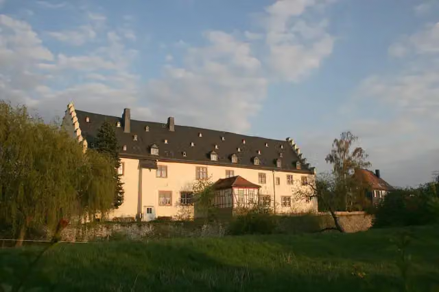
Echzeller Burg
17.2 kmCastle
2.9 km · 2 benches
Schloß Bingenheim
20 kmCastle
7.7 km · 9 benches
Water point
27.7 km358 m · 5 benches
Bike pump
28.1 km6.7 km · 15 benches
2 bike pumps
34.7 km3.6 km · 6 benches
Kleinkastell "Auf dem Buchkopf"
38.3 kmArchaeological site
14.1 km · 26 benches
Public toilet
52.4 km2.5 km · bench
Römisches Kastell / Bad
54.9 kmArchaeological site
3.5 km · 2 benches
Brunnenkranz der Klosterruine
58.4 kmRuins
3.3 km · 2 benches
Kleinkastell Neuwirtshaus
61.7 kmArchaeological site
5.4 km · 6 benches
2 water fountains and refill points and bike pump
67.1 km7.7 km · 14 benches
Pulverturm
74.7 kmAttraction
314 m · 25 benches
Public toilet
75 km266 m · 22 benches
Public toilet
75.3 km250 m · 5 benches
Bike pump
75.5 km3.9 km · 16 benches
Bike pump
79.4 km13.5 km · 41 benches
Pompejanum
92.9 kmMuseum
884 m · 27 benches
Public toilet
93.8 km781 m · 3 benches
Water point
94.6 km4.3 km · 11 benches
Water point
98.9 km4.2 km · 6 benches
Public toilet and bike pump
103 km5.1 km · 17 benches
Public toilet
108.1 km4.6 km · 36 benches
Römermuseum Obernburg
112.7 kmBike pump
158 m · 3 benches
2 public toilets
112.8 km6.2 km · 15 benches
Schifffahrts- und Schiffbaumuseum
119 kmMuseum
Show the other 3 steps
1.3 km · 8 benches
Public toilet
120.4 km503 m
Public toilet
120.9 km9.3 km · 39 benches
Finish
130.2 km
Longest stretch without a toilet: 48.3 kmBetween 4.2 km and 52.4 km there is no public toilet within 100 m of the route.
The route with the pitstops and sights within 100 m of it.
10 sights along the way
In the order you pass them. With the Outdoor Pitstop app you hear their story on the spot. 2 more along the route are on the map.
i
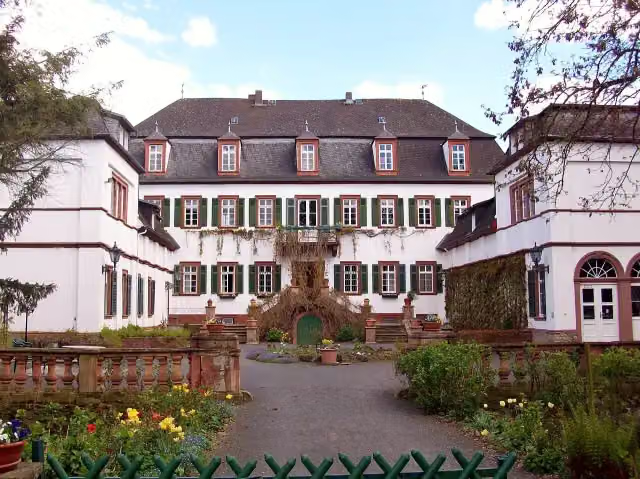
Photo: Commander-pirx · Wikimedia Commons · CC BY-SA 3.0View the photo on Wikimedia CommonsCastle · after 17.2 km
i
Photo: Haselburg-müller · Wikimedia Commons · CC BY-SA 3.0View the photo on Wikimedia CommonsCastle · after 20 km
i
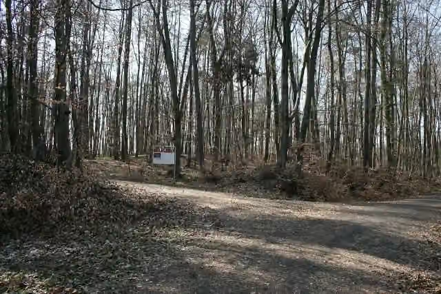
Photo: Haselburg-müller · Wikimedia Commons · CC BY-SA 3.0View the photo on Wikimedia CommonsArchaeological site · after 38.3 km
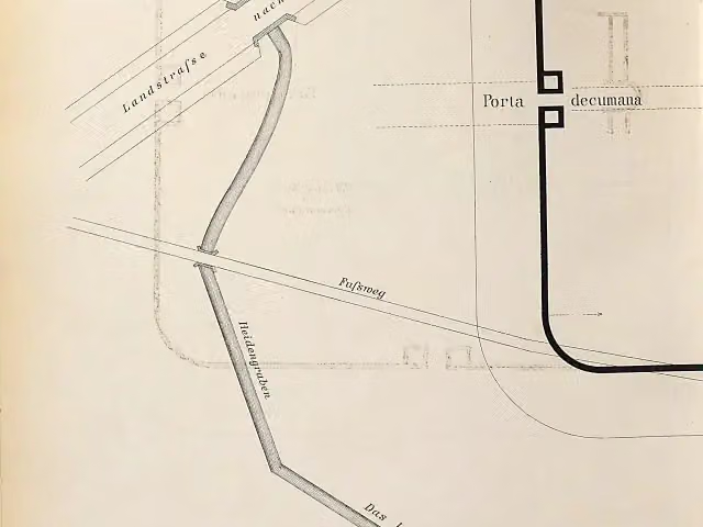
Archaeological site · after 54.9 km
i
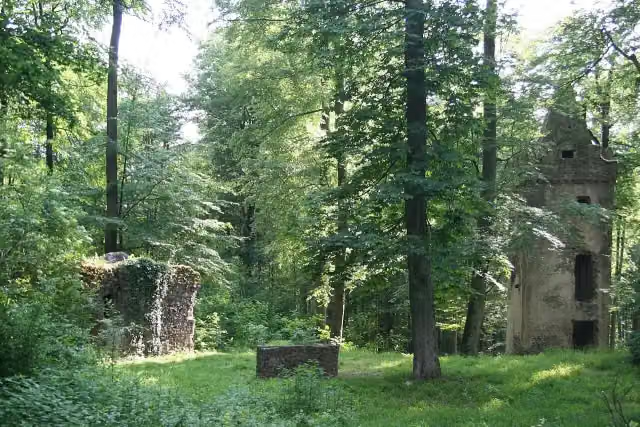
Photo: Haselburg-müller · Wikimedia Commons · CC BY-SA 3.0View the photo on Wikimedia CommonsRuins · after 58.4 km
i
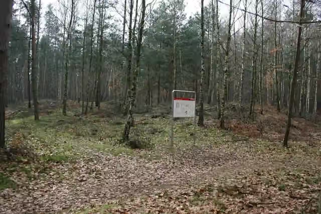
Photo: Haselburg-müller · Wikimedia Commons · CC BY-SA 3.0View the photo on Wikimedia CommonsArchaeological site · after 61.7 km
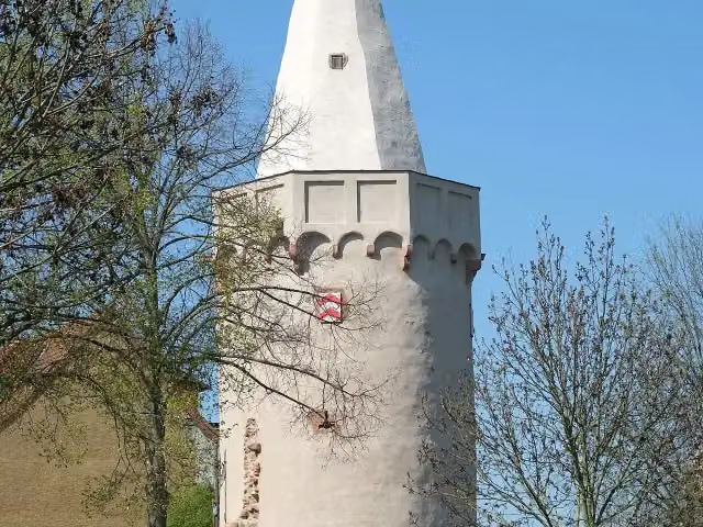
i
Photo: Reinhardhauke · Wikimedia Commons · CC BY-SA 3.0View the photo on Wikimedia CommonsAttraction · after 74.7 km
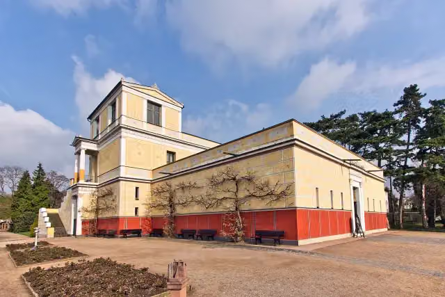
i
Photo: Sven Teschke, Büdingen · Wikimedia Commons · CC BY-SA 3.0 deView the photo on Wikimedia CommonsMuseum · after 92.9 km
Elevation and terrain
- Up
- ↑ 299 m
- Down
- ↓ 312 m
- Highest point
- 206 m
- Lowest point
- 103 m
- 5-10% slope · 1.3 km
- 5 stairs
Elevation from Copernicus GLO-30 (European Union and ESA), smoothed.
produced using Copernicus WorldDEM-30 © DLR e.V. 2010-2014 and © Airbus Defence and Space GmbH 2014-2018 provided under COPERNICUS by the European Union and ESA; all rights reserved
Way types
130.2 km in total- Track: 55.5 km
- Street: 28.6 km
- Cycle path: 19.7 km
- Path: 16.9 km
- Road: 6.8 km
- Busy road: 2 km
- Steps (carry your bike): 5 stairs
- Footpath (walk your bike): 100 m
- Unknown: 50 m
Surfaces
130.2 km in total- Asphalt: 101.6 km
- Gravel: 10.1 km
- Paved: 7.7 km
- Unknown: 10.5 km
About the cycle route Deutscher Limes-Radweg 3. Abschnitt Hungen - Miltenberg
Updated on 14 November 2026, with data from OpenStreetMap, the AHN and Copernicus.
Where do you cycle?
Deutscher Limes-Radweg 3. Abschnitt Hungen - Miltenberg is a cycle route of 130.2 km that starts in Hungen. It does not end where it starts. Along the way you pass Echzeller Burg (after 17.2 km), Schloß Bingenheim (after 20 km) and Kleinkastell "Auf dem Buchkopf" (after 38.3 km).
How hard is the route?
You climb 299 m in total and descend 312 m. There are 5 flights of steps along the way. Allow ± 8:40 h, without breaks. The level is hard.
What roads do you cycle on?
The longest part is track (55.5 km), street (28.6 km) and cycle path (19.7 km). Of the surface, 101.6 km asphalt and 10.1 km gravel. For 10.5 km the surface is not known.
Pitstops along the way
Within 100 metres of the route there are 375 benches, 7 water fountains and refill points, 12 public toilets and 8 bike pumps. You can fill your bottle after 3.2 km, after 16.9 km, after 27.7 km, after 67.1 km, after 94.6 km and after 98.9 km. The longest stretch without a toilet is 48.3 km. The Outdoor Pitstop app navigates you there.
Part of Deutscher Limes-Radweg
Website of the routeCycle routes nearby
5Sights nearby
Within 10 km of the route, best known first.
- 1
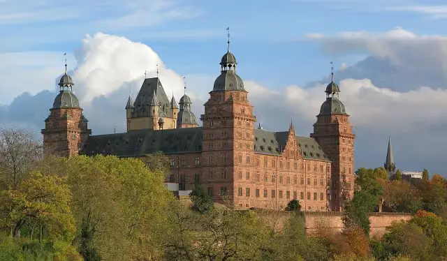 Schloss JohannisburgAttraction · 102 m from the route
- 2
 Abbey ChurchAttraction · 8.1 km from the route
- 3
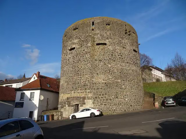 Dicker TurmRuins · 8.8 km from the route
- 4
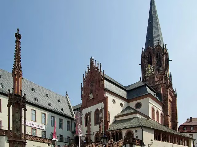 Collegiate Church of St Peter and St AlexanderAttraction · 331 m from the route
- 5
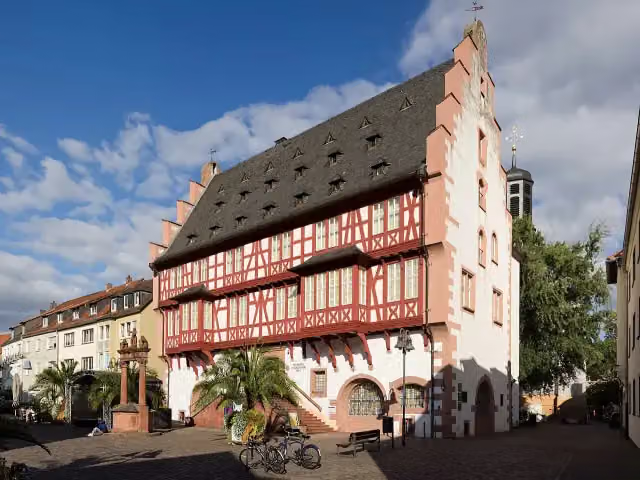 German Goldsmiths´ HouseMuseum · 4.2 km from the route
- 6
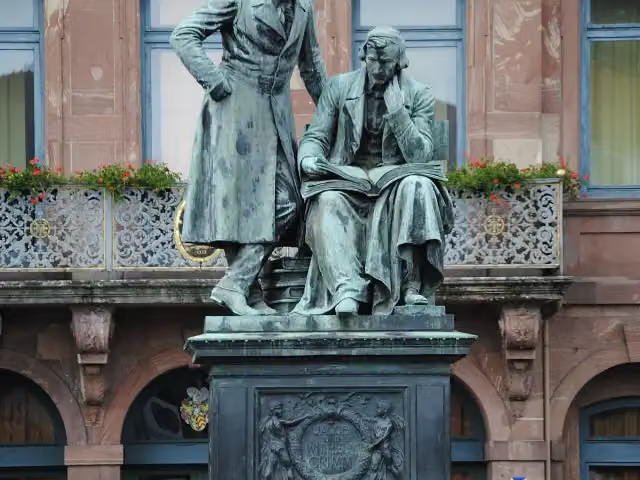 Brothers Grimm MemorialAttraction · 4.5 km from the route
- 7
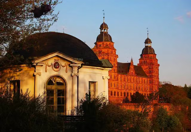 SchlossmuseumMuseum · 115 m from the route
- 8
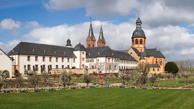 Ehemalige Benediktinerabtei SeligenstadtAttraction · 129 m from the route
- 9
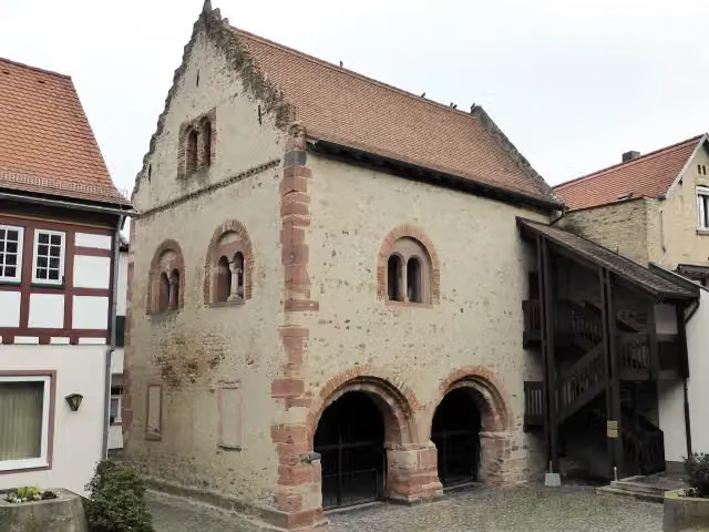 Romanisches HausAttraction · 133 m from the route
- 10
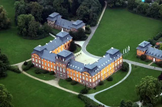 Schloss LöwensteinCastle · 149 m from the route
- 11
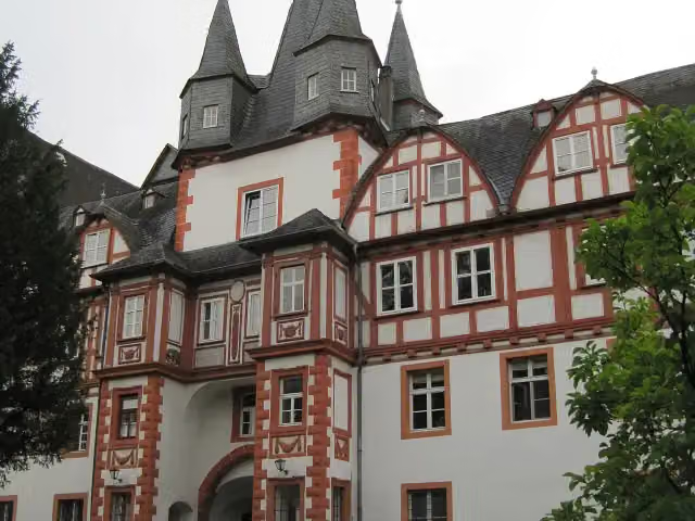 Schloss HungenAttraction · 159 m from the route
- 12
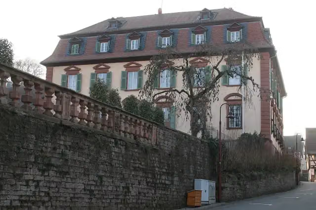 Schloss LaudenbachCastle · 167 m from the route
- 13
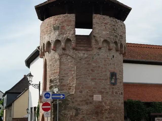 StumpfaulAttraction · 316 m from the route
- 14
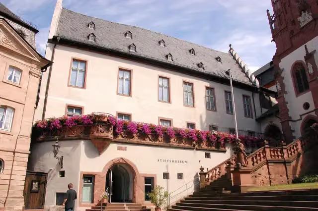 StiftsmuseumMuseum · 353 m from the route
- 15
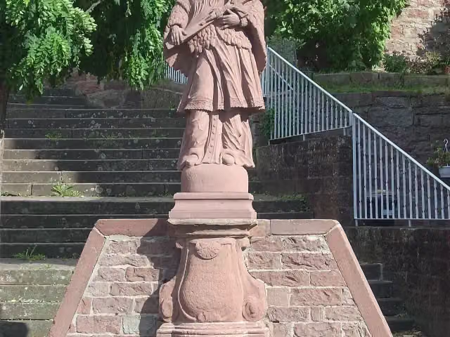 St. Johannes NepomukMemorial · 367 m from the route
- 16
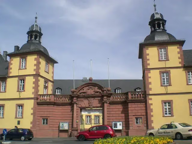 Schönborner HofAttraction · 454 m from the route
- 17
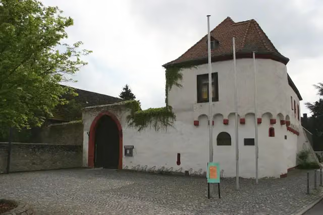 Wasserburg RückingenCastle · 487 m from the route
- 18
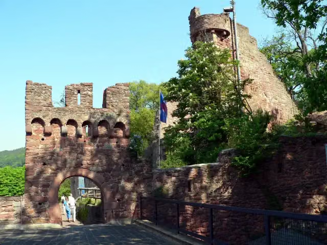 ClingenburgCastle · 500 m from the route
- 19
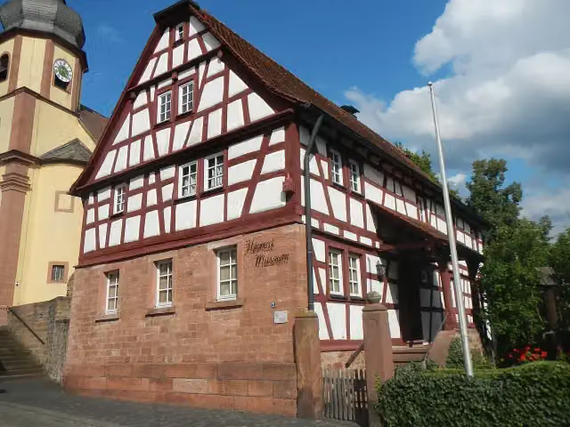 Heimatmuseum ElsenfeldMuseum · 560 m from the route
- 20
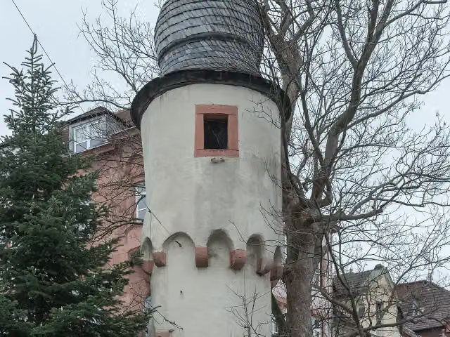 HerstallturmAttraction · 566 m from the route
- 21
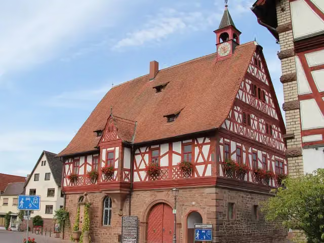 Altes RathausAttraction · 813 m from the route
- 22
 MagnolienhainAttraction · 816 m from the route
- 23
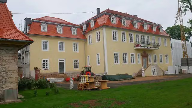 Schloss GünderrodeCastle · 1 km from the route
- 24
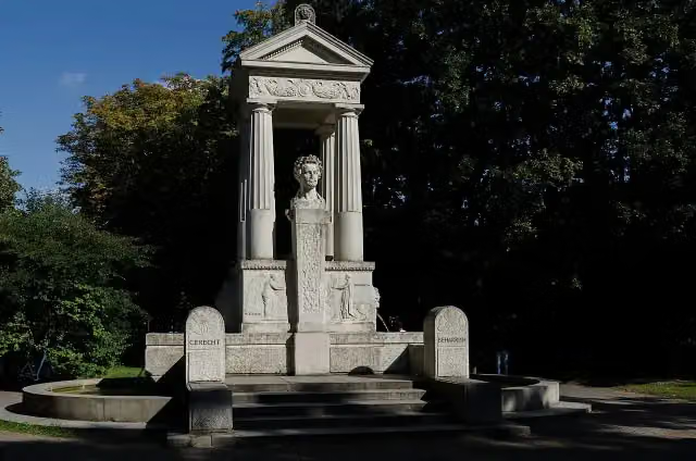 LudwigsbrunnenMemorial · 1.1 km from the route
- 25
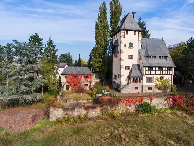 GentilhausMuseum · 1.3 km from the route
Explore more
More cycle routes around Hungen
Frequently asked questions
How long is Deutscher Limes-Radweg 3. Abschnitt Hungen - Miltenberg?
Deutscher Limes-Radweg 3. Abschnitt Hungen - Miltenberg is 130.2 km long. Allow ± 8:40 h of riding: 15 km an hour, without breaks.
Is this route a circular ride?
No, the route starts and ends at different spots.
Where does this route start?
The route starts in Hungen.
How hard is this route?
Hard, with 299 m of climbing.
Are there toilets along this route?
Yes, there are 12 public toilets within 100 m of the route. The longest stretch without a toilet is 48.3 km.
Can you fill up with water along this route?
Yes, there are 7 water fountains and refill points within 100 m of the route.
What is there to see along this route?
Along the way you pass Echzeller Burg, Schloß Bingenheim and Kleinkastell "Auf dem Buchkopf".
Can I download this route as a GPX file?
Yes. Sign in with your Outdoor Pitstop account and choose Download GPX at the top of this page: 10 routes a month for free, unlimited with Pro.
Starting point
More routes from this place
Route data © OpenStreetMap contributors





