 Outdoor Pitstop
Walking guide Utrechtse Heuvelrug · Updated on 5 November 2026
The best walks in Utrechtse Heuvelrug
Utrechtse Heuvelrug has 35 walks on the Outdoor Pitstop map. The 10 best are 31.7 km long on average; 1 of them is a circular walk. Along the way you find 1,049 benches and picnic tables, 28 water fountains and refill points, 15 public toilets, 1 bike pump and 5 honesty boxes and farm vending machines in total.
i
i
i
The 10 best walks
In the order of our score: a photo, points of interest along the way, a toilet or water point, a circular walk, a description and how often people search for the route.
The best walking route in Utrechtse Heuvelrug is Grebbeliniepad - 05 - Roode Haan-Werk aan de Daatselaar (7.9 km, easy).
The numbers on the map are the routes below, at their starting point. Pitstops count up to 100 m from the route. Walking time assumes 4.5 km an hour plus 10 minutes per 100 m of ascent.
- 1
i
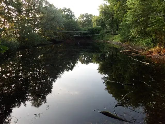
Photo: HenkvD · Wikimedia Commons · CC BY-SA 3.0View the photo on Wikimedia CommonsGrebbe Line Trail - 05 - Roode Haan-Werk aan de Daatselaar
7.9 km · ± 1:45 h · From A to B · start Utrechtse Heuvelrug
1 public toilet0 water fountains and refill points9 benches and picnic tables
- 2
i
Photo: HenkvD · Wikimedia Commons · CC BY-SA 3.0View the photo on Wikimedia CommonsUtrechtpad etappe05
ModerateUtrecht Trail stage 05
13.2 km · ± 3:00 h · ↗ 57 m · From A to B · start Utrechtse Heuvelrug
0 public toilets1 water point23 benches and picnic tables
- 3
i
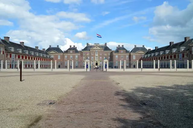
Photo: Roger Veringmeier · Wikimedia Commons · CC BY 4.0View the photo on Wikimedia CommonsKoninklijke Weg
HardRoyal Way
178.1 km · ± 39:50 h · ↗ 153 m · From A to B · start Apeldoorn
7 public toilets13 water fountains and refill points554 benches and picnic tables
- 4
i
Photo: Dirkjankraan · Wikimedia Commons · CC BY-SA 4.0View the photo on Wikimedia CommonsRomeinse Limespad - 10
ModerateRoman Limes Trail - 10
18.3 km · ± 4:05 h · ↗ 6 m · From A to B · start Bunnik
1 public toilet1 water point69 benches and picnic tables
- 5
i
Photo: Dirkjankraan · Wikimedia Commons · CC BY-SA 4.0View the photo on Wikimedia CommonsUtrechtpad etappe03
ModerateUtrecht Trail stage 03
14.7 km · ± 3:15 h · ↗ 6 m · From A to B · start Wijk bij Duurstede
1 public toilet2 water fountains and refill points64 benches and picnic tables
- 6
i
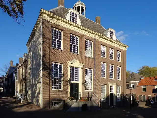
Photo: HenkvD · Wikimedia Commons · CC BY-SA 4.0View the photo on Wikimedia CommonsTrekvogelpad - 14
ModerateMigratory Bird Trail - 14
17.1 km · ± 4:05 h · ↗ 146 m · From A to B · start Utrechtse Heuvelrug
0 public toilets3 water fountains and refill points39 benches and picnic tables
- 7
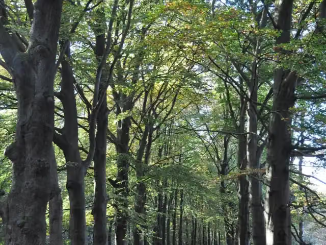
i
Photo: Onderwijsgek · Wikimedia Commons · CC BY-SA 3.0View the photo on Wikimedia CommonsKaapse Bossen Highlights
8.9 km · ± 2:05 h · ↗ 78 m · Circular walk · start Utrechtse Heuvelrug
3 public toilets0 water fountains and refill points35 benches and picnic tables
- 8
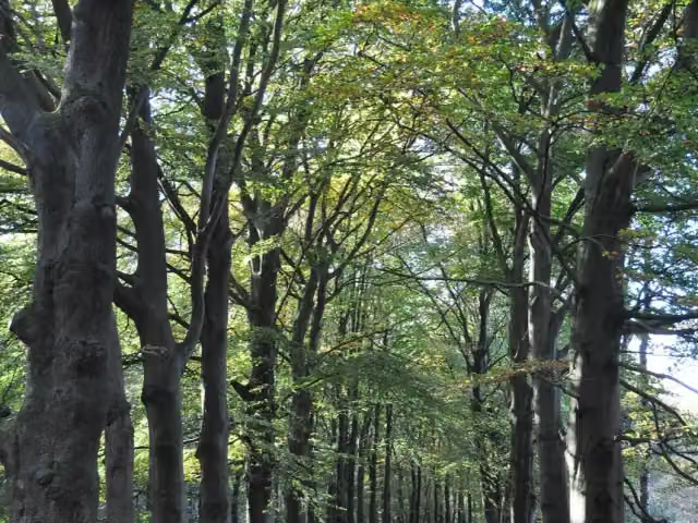
i
Photo: Onderwijsgek · Wikimedia Commons · CC BY-SA 3.0View the photo on Wikimedia CommonsTrekvogelpad - 12
ModerateMigratory Bird Trail - 12
11.8 km · ± 2:45 h · ↗ 50 m · From A to B · start Utrechtse Heuvelrug
0 public toilets4 water fountains and refill points39 benches and picnic tables
- 9
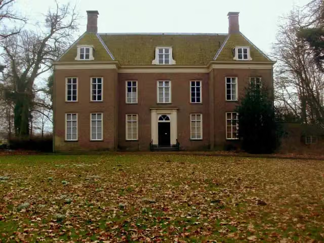
i
Photo: Loranchet · Wikimedia Commons · CC BY 3.0View the photo on Wikimedia CommonsKromme Rijnpad
HardKromme Rijn Trail
28.6 km · ± 6:20 h · From A to B · start Wijk bij Duurstede
2 public toilets1 water point179 benches and picnic tables
- 10
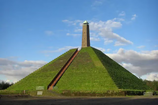
i
Photo: Kattjosh · Wikimedia Commons · CC BY 3.0View the photo on Wikimedia CommonsTrekvogelpad - 11
ModerateMigratory Bird Trail - 11
17.9 km · ± 4:05 h · ↗ 72 m · From A to B · start Soest
0 public toilets3 water fountains and refill points38 benches and picnic tables
All 18 walks from Utrechtse Heuvelrug, A to Z
- Dartheide
- Elsterkoproute
- Galgenbergroute · Gallows Hill Route
- Grebbeliniepad - 05 - Roode Haan-Werk aan de Daatselaar · Grebbe Line Trail - 05 - Roode Haan-Werk aan de Daatselaar
- Hoogtepunten Kaapse Bossen · Kaapse Bossen Highlights
- Kaapse bossen Rood · Kaapse Bossen Red
- NS-wandeling Utrechtse Heuvelrug · NS walk Utrechtse Heuvelrug
- Rolstoelpad · Wheelchair Trail
- Rondom de Dom · Around the Dom
- Rondom de Dom part 1 - Driebergen-Zeist NS - Utrecht Lunetten NS · Around the Dom part 1 - Driebergen-Zeist NS - Utrecht Lunetten NS
- Trekvogelpad - 12 · Migratory Bird Trail - 12
- Trekvogelpad - 14 · Migratory Bird Trail - 14
- TVP 13 Alternatieve route broedseizoen en met hond · TVP 13 Alternative route in breeding season and with dog
- Utrechtpad etappe04 · Utrecht Trail stage 04
- Utrechtpad etappe05 · Utrecht Trail stage 05
- Vlakkebergroute
- Wandelroute Helenaheuvel · Helenaheuvel walking route
- Wandelroute Hoog Moersbergen · Hoog Moersbergen walking route
Long-distance paths through Utrechtse Heuvelrug
Walks of several days, in stages.
i
Photo: Kasteelbeer · Wikimedia Commons · CC BY-SA 3.0 nlView the photo on Wikimedia Commons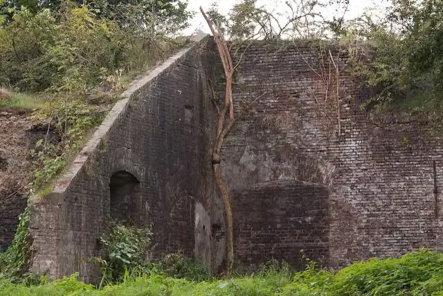
i
Photo: Efraa-marlies · Wikimedia Commons · CC BY-SA 3.0 nlView the photo on Wikimedia Commons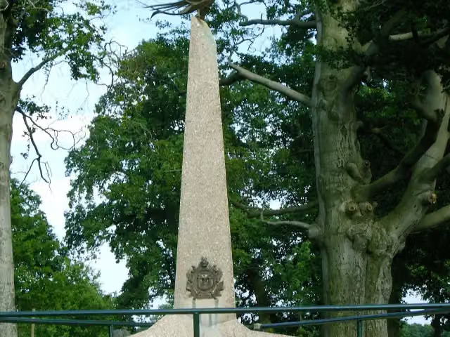
i
Photo: P.J.L Laurens · Wikimedia Commons · CC BY 2.5View the photo on Wikimedia Commons
i
Photo: Niels from Amsterdam, NL · Wikimedia Commons · CC BY-SA 2.0View the photo on Wikimedia Commonsi
Photo: P.J.L Laurens · Wikimedia Commons · CC BY 2.5View the photo on Wikimedia Commons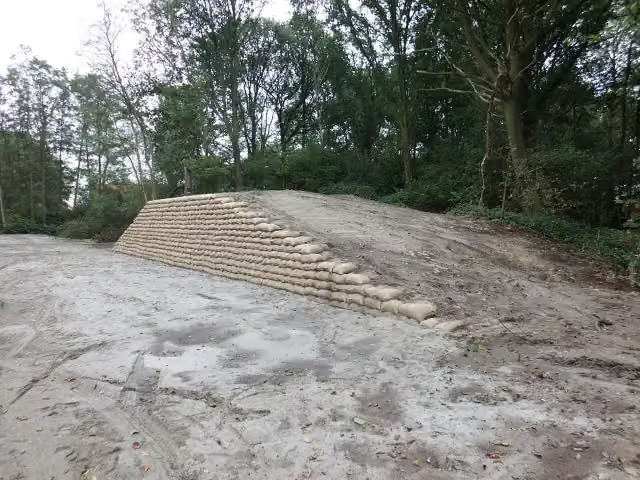
i
Photo: HenkvD · Wikimedia Commons · CC BY-SA 3.0View the photo on Wikimedia Commons
Points of interest along the walks
Along the 10 best walks.
Batterij op den Schalmdijk
Fort · along 2 walks
Fort aan de Buursteeg Noord
Fort · along 2 walks
- Audio story · 2 min
i
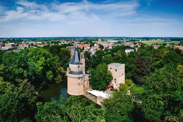
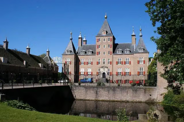
Photo: Dirkjankraan · Wikimedia Commons · CC BY-SA 4.0View the photo on Wikimedia CommonsDuurstede Castle
Castle · along 2 walks
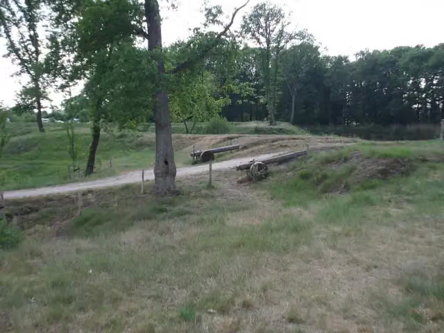
Werk aan de Daatselaar
Fort · along 1 walk
- Audio story · 2 min
i
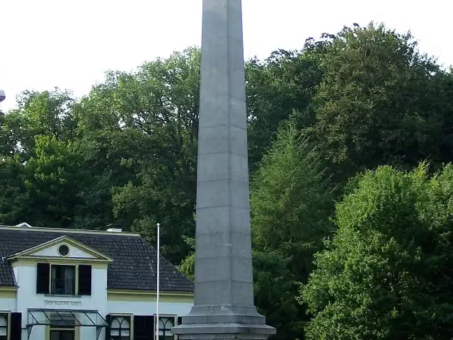
Photo: Roger Veringmeier · Wikimedia Commons · CC BY 4.0View the photo on Wikimedia CommonsPaleis het Loo
Castle · along 1 walk
 Audio story · 2 min
i
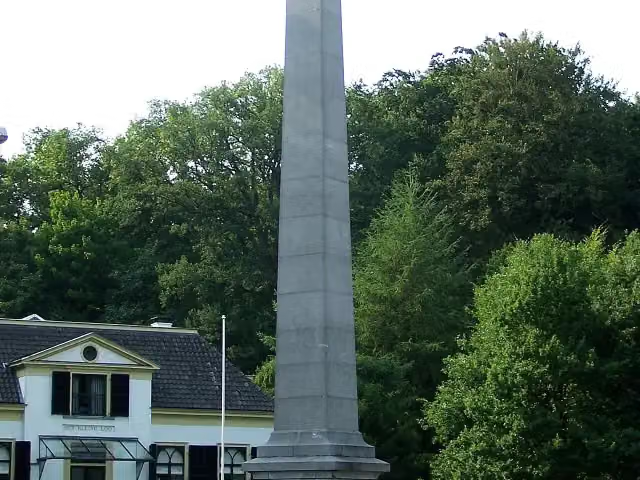
Photo: Brbbl · Wikimedia Commons · CC BY-SA 3.0View the photo on Wikimedia CommonsDe Naald
Memorial · along 1 walk
Man With Two Hats
Memorial · along 1 walk
 Audio story · 2 min
i
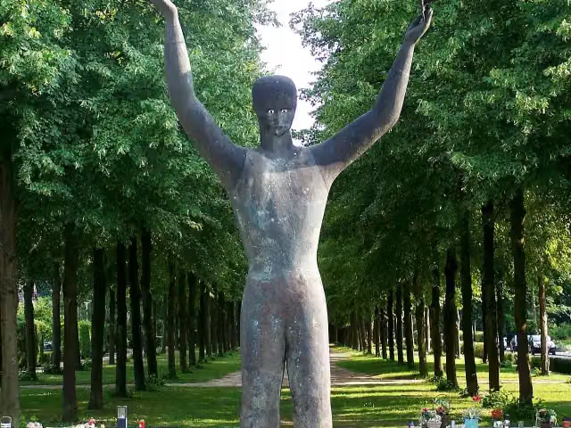
Photo: Brbbl · Wikimedia Commons · CC BY-SA 3.0View the photo on Wikimedia Commons30 april 2009
Memorial · along 1 walk
Walks per place in Utrecht province
23 places have their own guide.
Explore further
Walks nearby
Frequently asked questions
How many walks are there in Utrechtse Heuvelrug?
The Outdoor Pitstop map has 35 walks in Utrechtse Heuvelrug, including 7 long-distance paths in stages.
What is the best walk in Utrechtse Heuvelrug?
At the top of this guide is Grebbeliniepad - 05 - Roode Haan-Werk aan de Daatselaar (7.9 km, easy). Next come Utrechtpad etappe05 and Koninklijke Weg.
Are there circular walks in Utrechtse Heuvelrug?
Yes, for example Hoogtepunten Kaapse Bossen.
Which walks in Utrechtse Heuvelrug have a toilet along the way?
In this guide, Grebbeliniepad - 05 - Roode Haan-Werk aan de Daatselaar, Koninklijke Weg and Romeinse Limespad - 10 have a public toilet along the route.
Which long-distance paths run through Utrechtse Heuvelrug?
Among others Utrechtpad - Hoofdroute, Rondom de Dom, Trekvogelpad - Hoofdroute and Romeinse Limespad - Hoofdroute run through this area.
Popular nearby
Guides of places nearby





