 Outdoor Pitstop
Walking route · Apeldoorn · Royal Way · Updated on 5 November 2026
Koninklijke Weg walk
Koninklijke Weg is a walk of 178.1 km from Apeldoorn. Along the way: 554 benches and picnic tables, 13 water fountains and refill points, 7 public toilets, 1 bike pump and 4 honesty boxes and farm vending machines.
i
i
i
The route step by step
From start to finish, with what you pass along the way and the distance in between.
- 178.1 km
- ± 39:50 h
- ↑ 153 m · ↓ 170 m
- Hard
- From A to B
- National route
Start in Apeldoorn
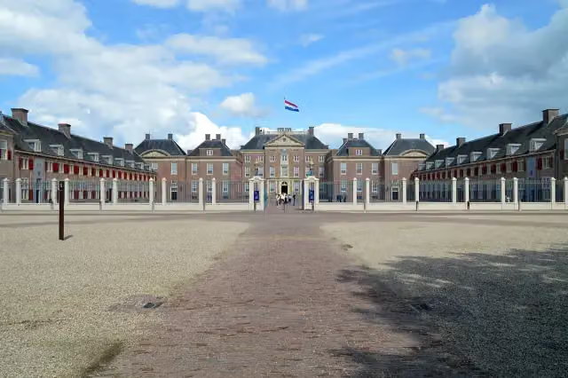
0 kmAt the start: Paleis het Loo and public toilet.
612 m

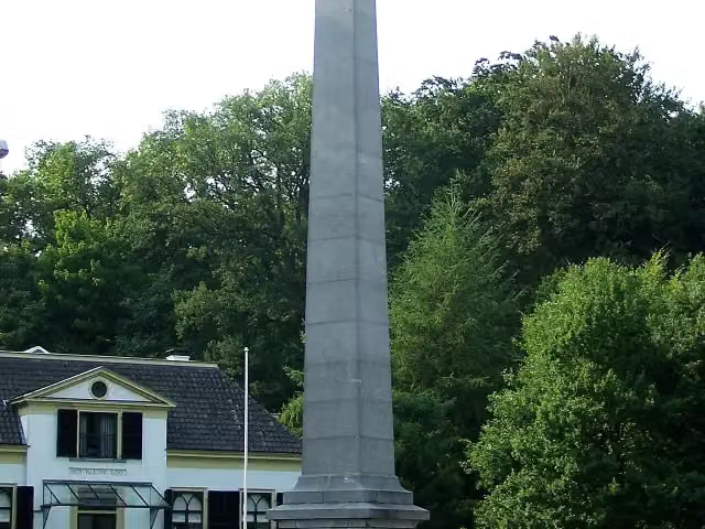
De Naald and 2 more
612 mMan With Two Hats and 30 april 2009
30.7 km · 39 benches
Food stand
31.4 km283 m
Nairac Museum and 1 more
31.6 kmJan van Schaffelaar
7.4 km · 11 benches
Water point
39 km5.8 km · 3 benches
Food stand
44.9 km5.2 km · 5 benches
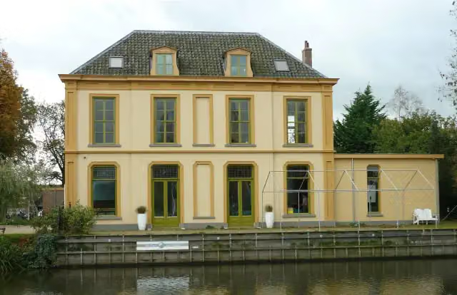
Huize Den Treek
50 kmCastle
5.2 km · bench
Public toilet and water point
55.2 km11.6 km · 17 benches
Public toilet and water point
66.8 km12.4 km · 24 benches
Public toilet and water point
79.3 km856 m · 26 benches
Koningin Emma-Monument
80.1 kmMemorial
5 km · 6 benches
Kei van Lage Vuursche
85.2 kmAttraction
3.4 km · 11 benches
Water point
88.5 km6.1 km · 14 benches
Bike pump
94.7 km2.3 km · 3 benches
Water point
97 km1.1 km · bench
Water point
98.1 km2.2 km
Fort De Gagel
100.2 kmFort · Audio story · 2 min
1.9 km · 30 benches
Fort aan de Klop
102.1 kmFort · Audio story · 2 min
1.7 km · 25 benches
Water point
103.8 km166 m · bench
Slot Zuylen
104 kmFood stand
3.8 km · 8 benches
Water point
107.8 km6.9 km · 24 benches
2 public toilets
114.7 km22.4 km · 50 benches
Water point
137 km6.1 km · 8 benches
Boomkwekerijmuseum
143.2 kmMuseum
879 m · 11 benches
Water point
144 km7 km · 21 benches
Food stand
151 km3.7 km
Molen "de Haas"
154.7 kmViewpoint
3.2 km · 2 benches
Public toilet
157.9 km11.1 km · 24 benches
Water point
169 km4.7 km · 98 benches
Water point
173.7 km
Show the other 2 steps
3.7 km · 55 benches
Koninklijke Schouwburg and 4 more
177.4 kmHertog Karel Bernhard van Saksen Weimar Eisenach, Haags Historisch Museum, Museum Bredius and Thorbecke-monument
717 m · 36 benches
Finish
178.1 kmAt the finish: Grondwetsherziening van 1848, Paleis Noordeinde and Stadhouder Prins Willem van Oranje.
Longest stretch without a toilet: 55.2 kmBetween 6 m and 55.2 km there is no public toilet within 100 m of the route.
The route with the pitstops and sights within 100 m of it.
22 sights along the way
In the order you pass them. With the Outdoor Pitstop app you hear their story on the spot. 14 more along the route are on the map.
- Audio story · 2 min
i
Photo: Roger Veringmeier · Wikimedia Commons · CC BY 4.0View the photo on Wikimedia CommonsPaleis het Loo
Castle · after 0 m
 Audio story · 2 min
i
Photo: Brbbl · Wikimedia Commons · CC BY-SA 3.0View the photo on Wikimedia CommonsDe Naald
Memorial · after 612 m
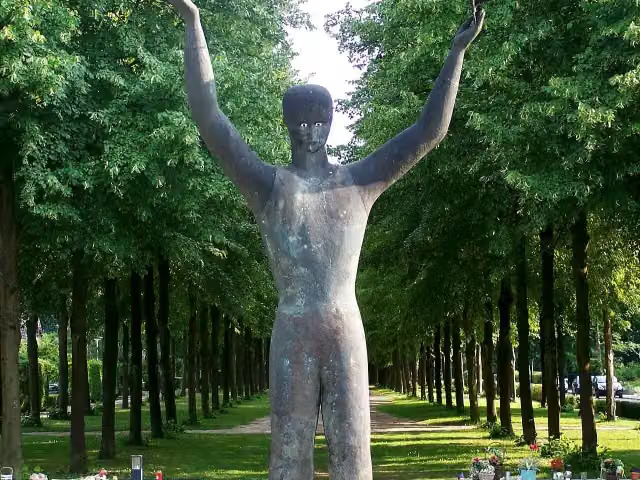
Man With Two Hats
Memorial · after 678 m
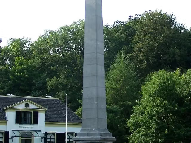 Audio story · 2 min
i
Photo: Brbbl · Wikimedia Commons · CC BY-SA 3.0View the photo on Wikimedia Commons30 april 2009
Memorial · after 685 m
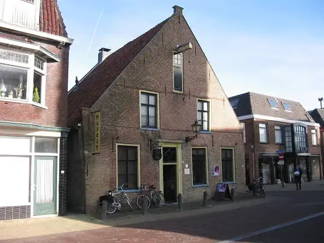
Nairac Museum
Museum · after 31.6 km

Memorial · after 31.7 km
Huize Den Treek
Castle · after 50 km
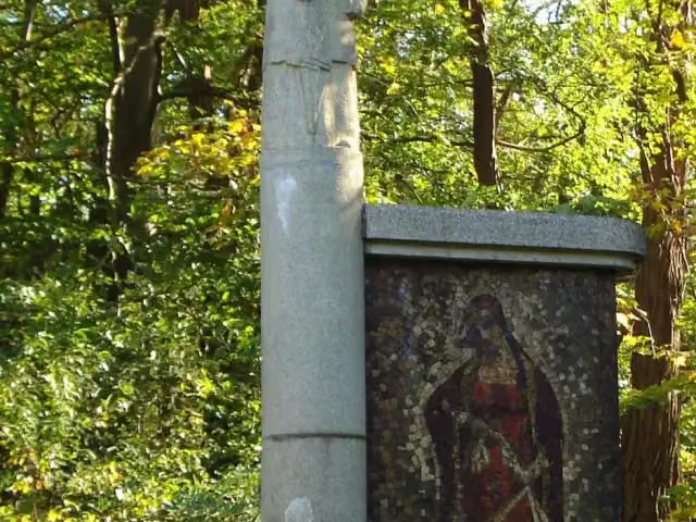 Story
Koningin Emma-Monument
Memorial · after 80.1 km
Elevation and terrain
- Up
- ↑ 153 m
- Down
- ↓ 170 m
- Highest point
- 84 m
- Lowest point
- -5 m
Nowhere steeper than 5%.
Elevation from AHN (Rijkswaterstaat), smoothed.
Way types
178.1 km in total- Cycleway: 85.9 km
- Road: 66.7 km
- Street: 14.6 km
- Footpath: 6.6 km
- Track: 2 km
- Busy road: 1.2 km
- Path: 725 m
- Unknown: 25 m
Surfaces
178.1 km in total- Asphalt: 107.9 km
- Paved: 21.7 km
- Gravel: 11 km
- Unpaved: 1.1 km
- Natural: 325 m
- Unknown: 35.7 km
About the walking route Koninklijke Weg
Updated on 5 November 2026, with data from OpenStreetMap and the AHN.
Where do you walk?
Koninklijke Weg is a walking route of 178.1 km that starts in Apeldoorn. It does not end where it starts. Along the way you pass Paleis het Loo (after 0 m), De Naald (after 612 m) and Man With Two Hats (after 678 m).
How hard is the route?
You climb 153 m in total and descend 170 m. Allow ± 39:50 h, without breaks. The level is hard.
What paths do you walk on?
The longest part is cycleway (85.9 km), road (66.7 km) and street (14.6 km). Of the surface, 107.9 km asphalt and 21.7 km paved. For 35.7 km the surface is not known.
Pitstops along the way
Within 100 metres of the route there are 554 benches and picnic tables, 13 water fountains and refill points, 7 public toilets, 1 bike pump and 4 honesty boxes and farm vending machines. The longest stretch without a toilet is 55.2 km. The Outdoor Pitstop app navigates you there.
Walks nearby
6- Maarten van Rossumpad - 15Moderate · From A to B12.9 km
- paleis 't Loo "zwarte route (achtertuin)"Easy · Circular walk8.7 km
- LoorouteEasy · From A to B2.8 km
- WenumrouteEasy · From A to B8.6 km
- Paleis 't Loo "rode route (achtertuin)"Easy · Circular walk6.1 km
- WNW Veluwe - Wildernisbos - rode routeEasy · Circular walk4.5 km
Sights nearby
Within 10 km of the route, best known first.
- 1
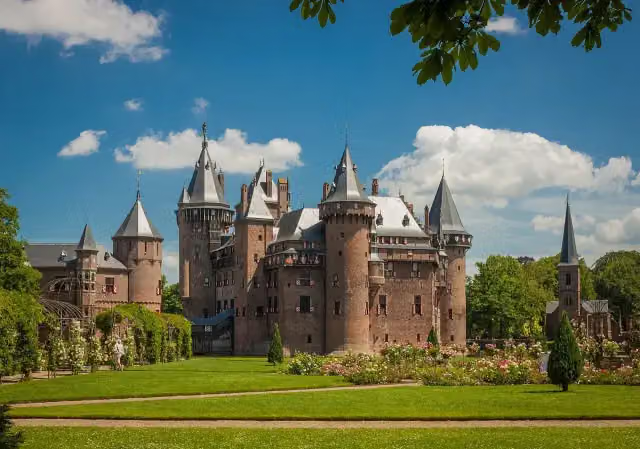 Kasteel de HaarAttraction · 190 m from the route
- 2
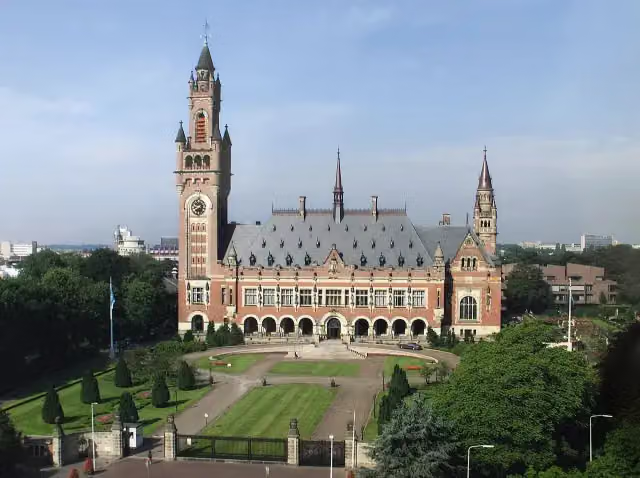 Peace PalaceAttraction · 1 km from the route
- 3
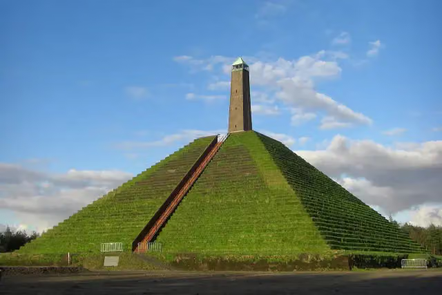 Pyramid of AusterlitzAttraction · 504 m from the route
- 4
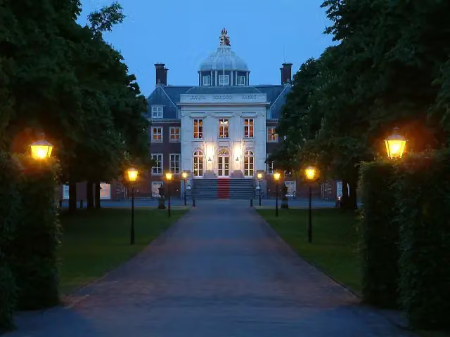 Huis ten BoschCastle · 200 m from the route
- 5
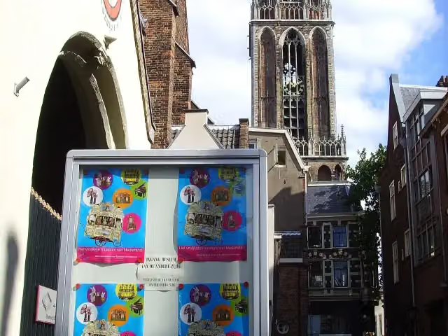 Museum SpeelklokMuseum · 3.3 km from the route
- 6
 Royal DelftMuseum · 7.6 km from the route
- 7
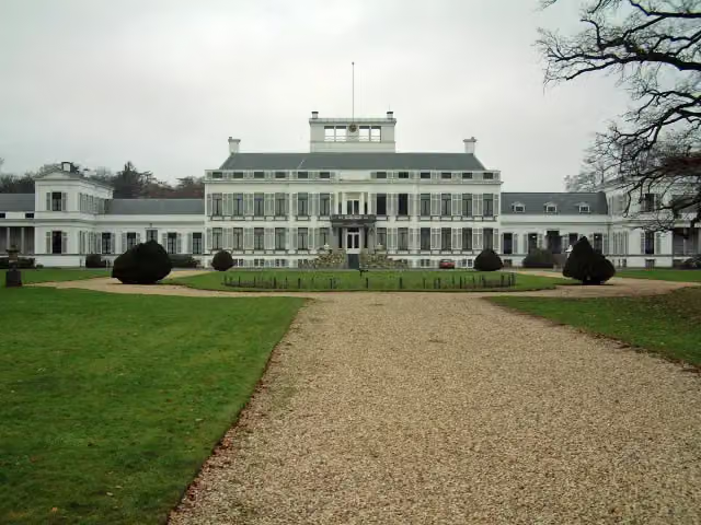 Paleis SoestdijkAttraction · 95 m from the route
- 8
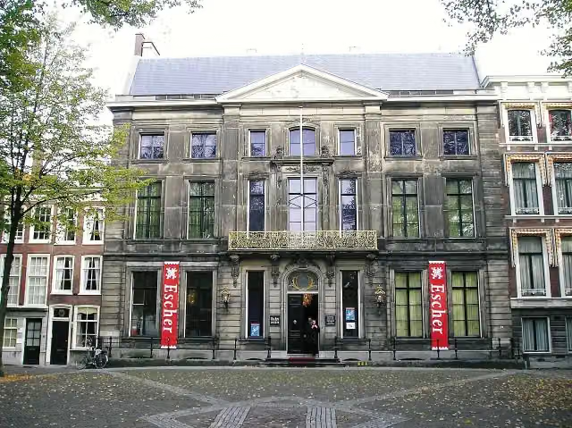 Escher in Het PaleisMuseum · 128 m from the route
- 9
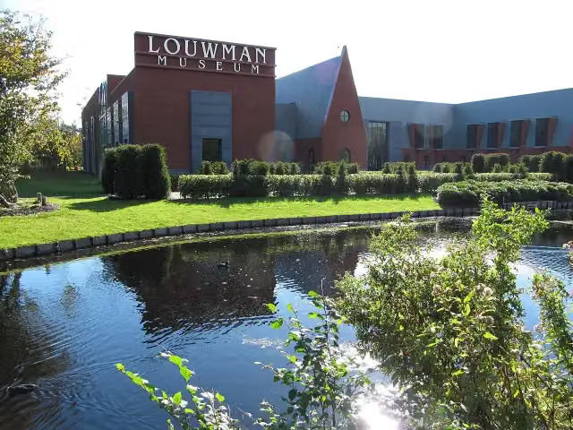 Louwman MuseumMuseum · 1.1 km from the route
- 10
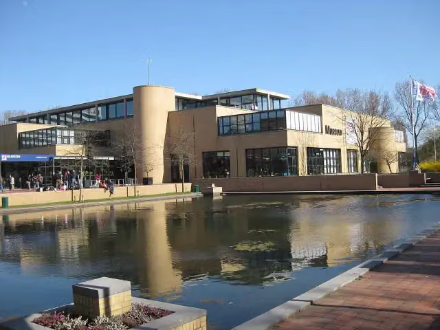 Museon-OmniversumMuseum · 2 km from the route
- 11
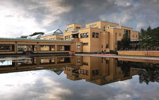 Kunstmuseum Den HaagMuseum · 2 km from the route
- 12
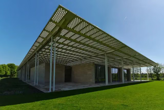 Museum VoorlindenMuseum · 3.1 km from the route
- 13
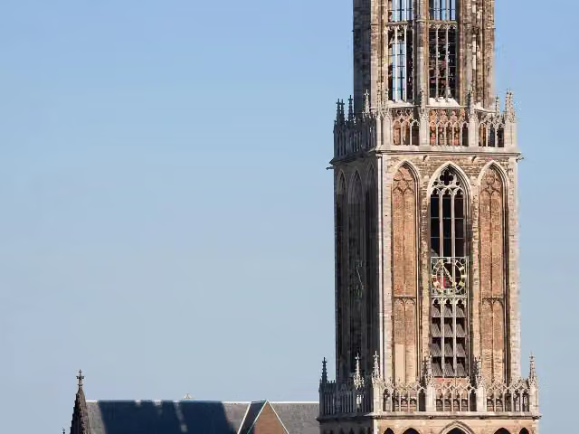 Dom towerAttraction · 3.3 km from the route
- 14
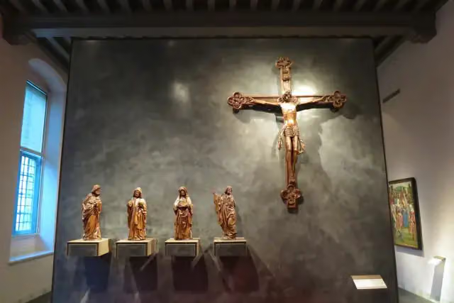 Museum CatharijneconventMuseum · 3.7 km from the route
- 15
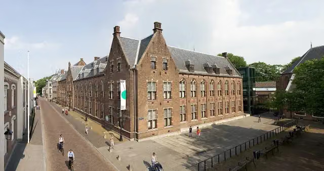 Centraal MuseumMuseum · 4.1 km from the route
- 16
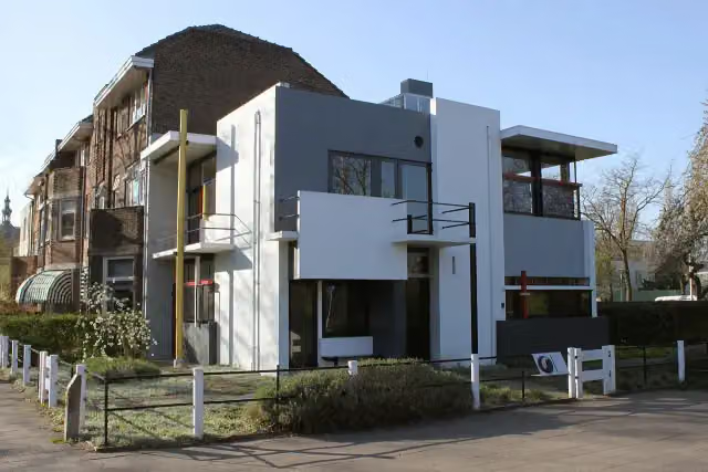 Rietveld-SchröderhuisMuseum · 4.2 km from the route
- 17
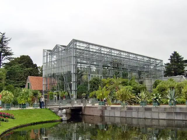 Hortus botanicus LeidenAttraction · 6.8 km from the route
- 18
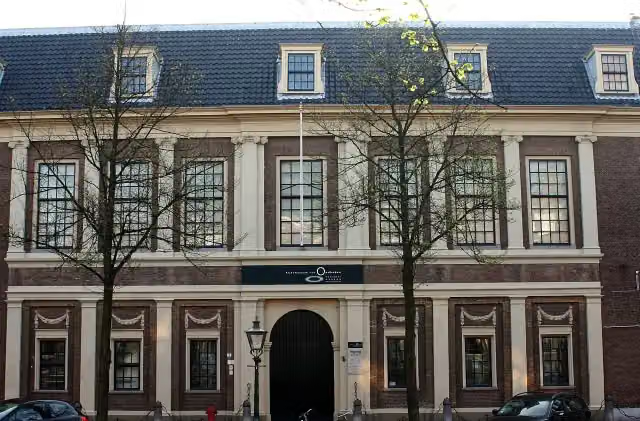 Rijksmuseum van OudhedenMuseum · 7.1 km from the route
- 19
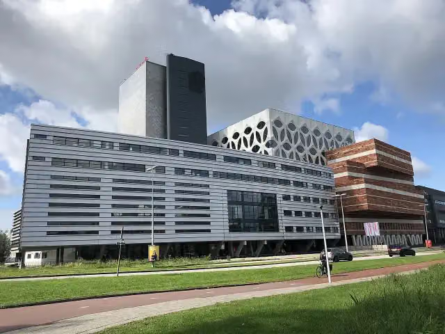 Naturalis Biodiversity CentreMuseum · 7.4 km from the route
- 20
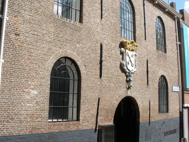 Rijksmuseum BoerhaaveMuseum · 7.5 km from the route
- 21
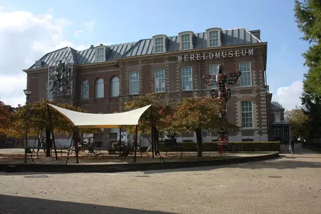 Wereldmuseum LeidenMuseum · 7.5 km from the route
- 22
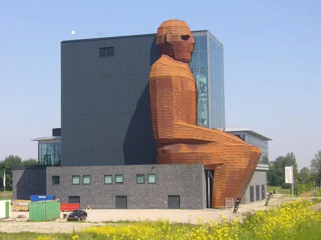 CorpusMuseum · 7.8 km from the route
- 23
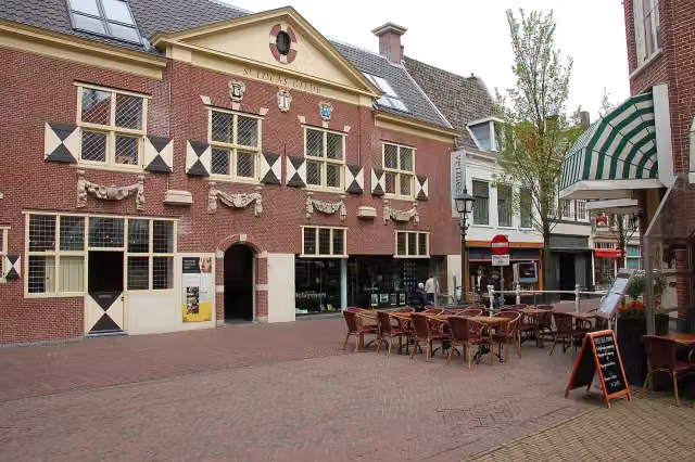 Vermeer CentrumMuseum · 6.4 km from the route
- 24
 KinderboekenmuseumMuseum · 328 m from the route
- 25
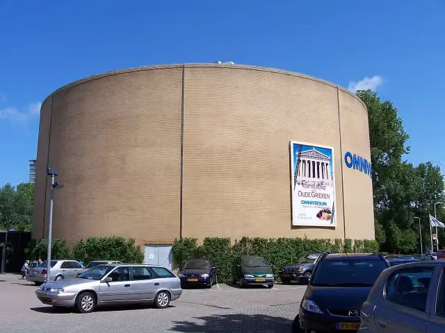 OmniversumAttraction · 1.9 km from the route
Explore more
Frequently asked questions
How long is Koninklijke Weg?
Koninklijke Weg is 178.1 km long. Allow ± 39:50 h of walking: 4.5 km an hour and 10 minutes more per 100 metres of climbing, without breaks.
Is this route a circular walk?
No, the route starts and ends at different spots.
Where does this route start?
The route starts in Apeldoorn.
How hard is this route?
Hard, with 153 m of climbing.
Are there toilets along this route?
Yes, there are 7 public toilets within 100 m of the route. The longest stretch without a toilet is 55.2 km.
Can you fill up with water along this route?
Yes, there are 13 water fountains and refill points within 100 m of the route.
What is there to see along this route?
Along the way you pass Paleis het Loo, De Naald and Man With Two Hats.
Start place
More routes from this place
Route data © OpenStreetMap contributors





