 Outdoor Pitstop
Walking route · Apeldoorn · Updated on 5 November 2026
Looroute walk
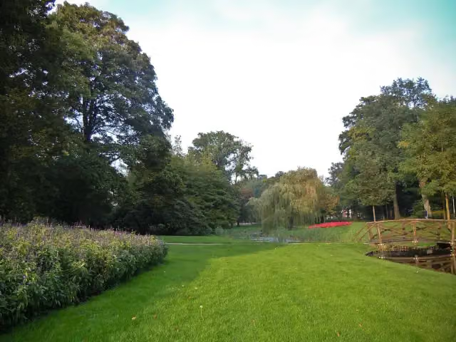
Looroute is a walk of 2.8 km from Apeldoorn. Along the way: 34 benches and picnic tables, 5 water fountains and refill points and 2 public toilets.
i
i
i
The route step by step
From start to finish, with what you pass along the way and the distance in between.
- 2.8 km
- ± 40 min
- ↑ 0 m · ↓ 3 m
- Easy
- From A to B
- Local route
- Colour of the signs
Start in Apeldoorn
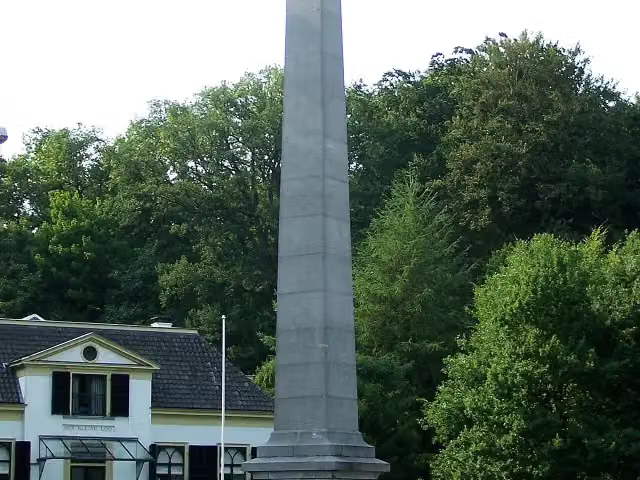
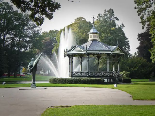
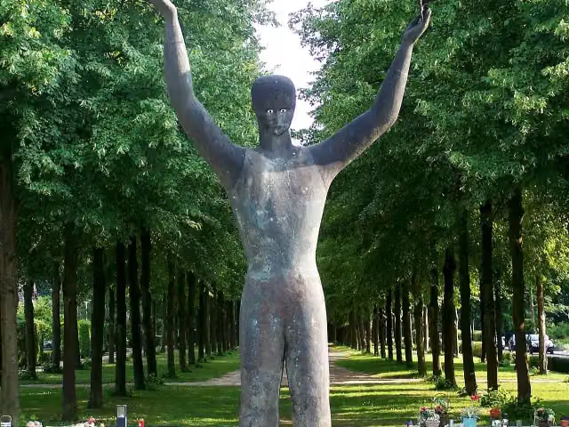
0 kmAt the start: De Naald, 30 april 2009 and Man With Two Hats.
2 km · 19 benches
2 water fountains and refill points
2 km248 m · 3 benches
Public toilet and water point
2.3 km395 m · 2 benches
Water point
2.7 km179 m · 10 benches
Finish
2.8 kmAt the finish: public toilet and water point.
Longest stretch without a toilet: 2.3 kmBetween 0 km and 2.3 km there is no public toilet within 100 m of the route.
The route with the pitstops and sights within 100 m of it.
3 sights along the way
In the order you pass them. With the Outdoor Pitstop app you hear their story on the spot.
- Audio story · 2 min
i
Photo: Brbbl · Wikimedia Commons · CC BY-SA 3.0View the photo on Wikimedia CommonsDe Naald
Memorial · after 0 m
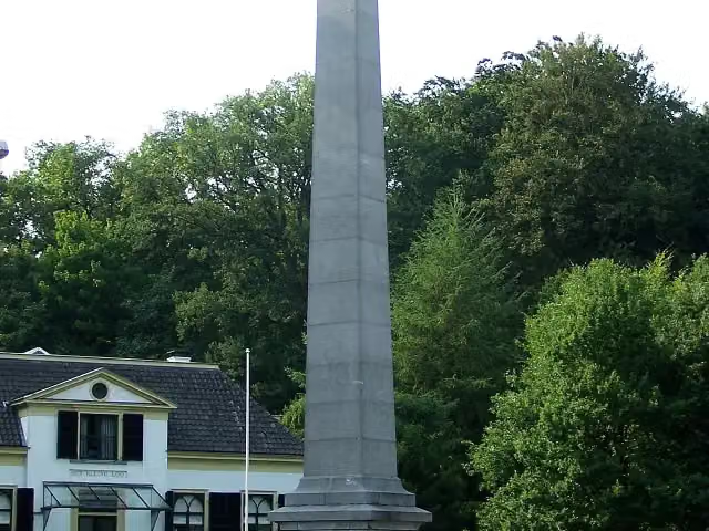 Audio story · 2 min
i
Photo: Brbbl · Wikimedia Commons · CC BY-SA 3.0View the photo on Wikimedia Commons30 april 2009
Memorial · after 97 m
Man With Two Hats
Memorial · after 118 m
Elevation and terrain
- Up
- ↑ 0 m
- Down
- ↓ 3 m
- Highest point
- 20 m
- Lowest point
- 16 m
Nowhere steeper than 5%.
Elevation from AHN (Rijkswaterstaat), smoothed.
Way types
2.8 km in total- Cycleway: 1.9 km
- Footpath: 680 m
- Street: 175 m
- Path: 100 m
Surfaces
2.8 km in total- Paved: 2.6 km
- Asphalt: 250 m
About the walking route Looroute
Updated on 5 November 2026, with data from OpenStreetMap and the AHN.
Where do you walk?
Looroute is a walking route of 2.8 km that starts in Apeldoorn. It does not end where it starts. Along the way you pass De Naald (after 0 m), 30 april 2009 (after 97 m) and Man With Two Hats (after 118 m).
How hard is the route?
The route is almost flat. You climb 0 m in total and descend 3 m. Allow ± 40 min, without breaks. The level is easy.
What paths do you walk on?
The longest part is cycleway (1.9 km), footpath (680 m) and street (175 m). Of the surface, 2.6 km paved and 250 m asphalt.
Pitstops along the way
Within 100 metres of the route there are 34 benches and picnic tables, 5 water fountains and refill points and 2 public toilets. You can fill your bottle after 2 km, after 2.1 km, after 2.3 km, after 2.7 km and at the finish. The longest stretch without a toilet is 2.3 km. The Outdoor Pitstop app navigates you there.
Walks nearby
6- Koninklijke WegHard · From A to B178.1 km
- Maarten van Rossumpad - 15Moderate · From A to B12.9 km
- paleis 't Loo "zwarte route (achtertuin)"Easy · Circular walk8.7 km
- WenumrouteEasy · From A to B8.6 km
- Paleis 't Loo "rode route (achtertuin)"Easy · Circular walk6.1 km
- WNW Veluwe - Wildernisbos - rode routeEasy · Circular walk4.5 km
Sights nearby
Within 10 km of the route, best known first.
- 1
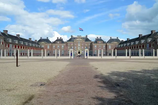 Paleis het LooCastle · 675 m from the route
- 2
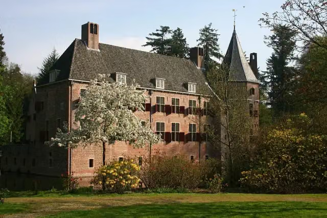 Kasteel Het Oude LooCastle · 882 m from the route
- 3
 Veluwsche Stoomtrein MaatschappijMuseum · 5.7 km from the route
- 4
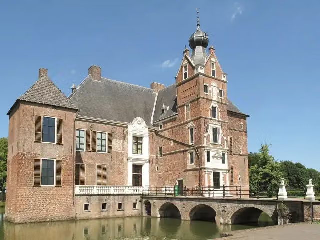 Kasteel CannenburchMuseum · 7.3 km from the route
- 5
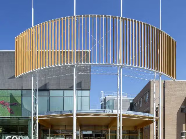 CODAMuseum · 347 m from the route
- 6
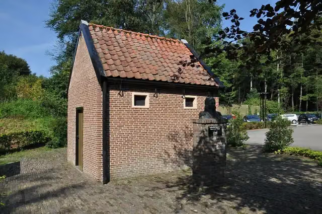 De EchoputAttraction · 4.6 km from the route
- 7
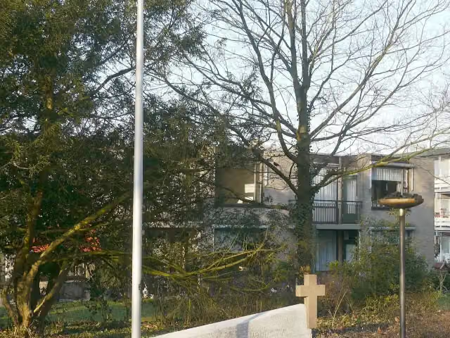 Verzetsmonument BeekbergenMemorial · 5.9 km from the route
- 8
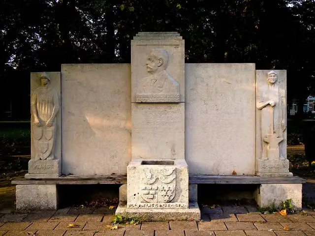 MemorialMemorial · 478 m from the route
- 9
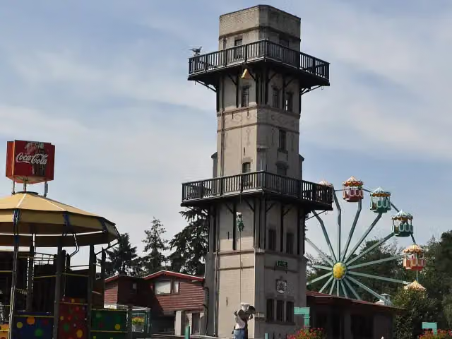 JulianatorenObservation tower · 2 km from the route
- 10
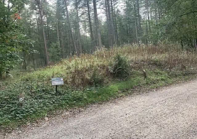 Archaeological siteArchaeological site · 3 km from the route
- 11
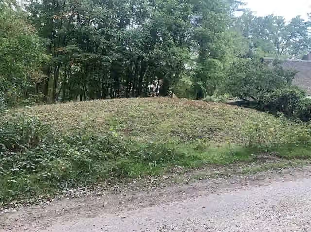 Archaeological siteArchaeological site · 3.1 km from the route
- 12
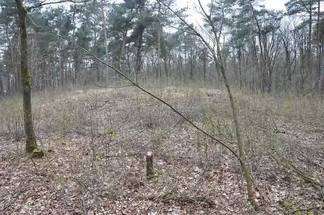 Archaeological siteArchaeological site · 5.2 km from the route
- 13
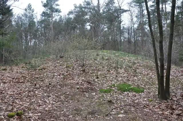 Het BisschopsbergjeArchaeological site · 5.4 km from the route
- 14
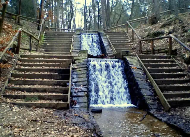 Loenense Waterval (de grote)Attraction · 8.9 km from the route
- 15
 Observation towerObservation tower · 742 m from the route
- 16Observation towerObservation tower · 1.9 km from the route
- 17Archaeological siteArchaeological site · 2 km from the route
- 18Archaeological siteArchaeological site · 2.4 km from the route
- 19Archaeological siteArchaeological site · 2.5 km from the route
- 20Archaeological siteArchaeological site · 2.9 km from the route
- 21Archaeological siteArchaeological site · 4 km from the route
- 22Archaeological siteArchaeological site · 4.5 km from the route
- 23Archaeological siteArchaeological site · 5.9 km from the route
- 24Archaeological siteArchaeological site · 6 km from the route
Explore more
Frequently asked questions
How long is Looroute?
Looroute is 2.8 km long. Allow ± 40 min of walking: 4.5 km an hour and 10 minutes more per 100 metres of climbing, without breaks.
Is this route a circular walk?
No, the route starts and ends at different spots.
Where does this route start?
The route starts in Apeldoorn.
How hard is this route?
Easy.
Are there toilets along this route?
Yes, there are 2 public toilets within 100 m of the route. The longest stretch without a toilet is 2.3 km.
Can you fill up with water along this route?
Yes, there are 5 water fountains and refill points within 100 m of the route.
What is there to see along this route?
Along the way you pass De Naald, 30 april 2009 and Man With Two Hats.
Start place
More routes from this place
Route data © OpenStreetMap contributors





