 Outdoor Pitstop
1-10 of 10 walks
First the best-known long-distance paths, then the best-known other walks. Choose a place for the walks nearby.
Sort: Best known first
- 1
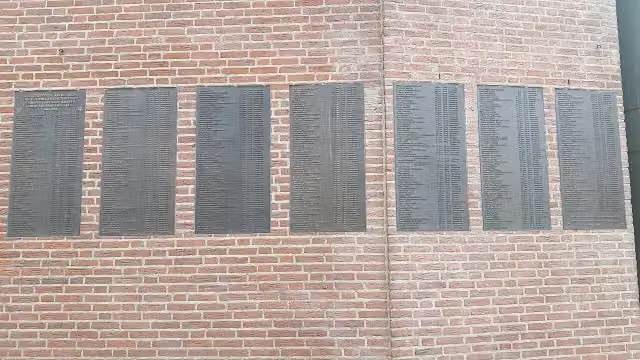
Jakobs-Pilgerweg Nijmegen-Köln
St James Pilgrim Way Nijmegen-Cologne
11.4 km · From A to B
± 2:30 hModerate
47benches and picnic tables2public toilets6water fountains and refill points
- 2
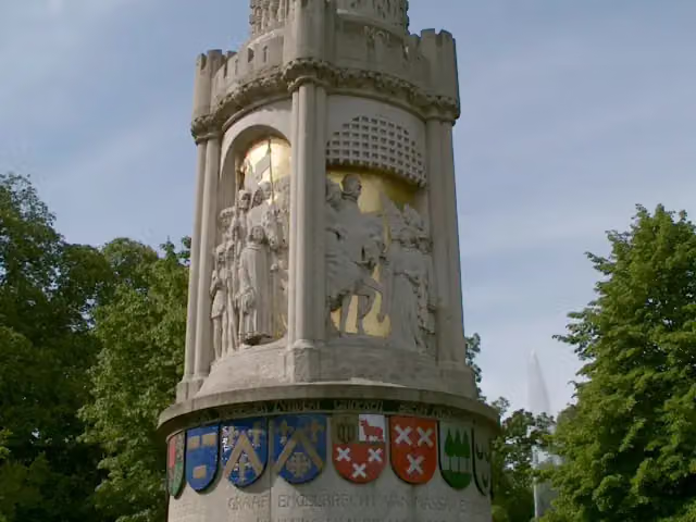
Grenslandpad - 20 - Aftakking Landgoed Valkenberg-Breda station
Borderland Trail - 20 - Branch Landgoed Valkenberg-Breda station
12.1 km · From A to B
± 2:40 hModerate
99benches and picnic tables6public toilets2water fountains and refill points
- 3
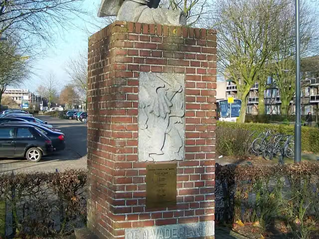
Grenslandpad - 21 - Aftakking Alphen-Baarle-Nassau
Borderland Trail - 21 - Branch Alphen-Baarle-Nassau
6.3 km · From A to B
± 1:25 hEasy
32benches and picnic tables0public toilets1water point
- 4
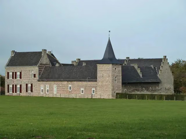
Jakobs-Pilgerweg Aachen-Maastricht
St James Pilgrim Way Aachen-Maastricht
27.6 km · From A to B
± 6:35 hHard
62benches and picnic tables0public toilets2water fountains and refill points
- 5
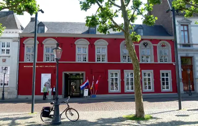
Jakobs-Pilgerweg Nijmegen-Maastricht-Lüttich
St James Pilgrim Way Nijmegen-Maastricht-Liège
143.1 km · From A to B
± 32:20 hHard
244benches and picnic tables19public toilets12water fountains and refill points
- 6
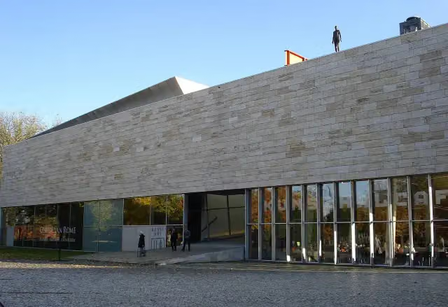
Grote Rivierenpad - 20 - Variant Erasmuspad
Great Rivers Trail - 20 - Variant Erasmuspad
20.7 km · From A to B
± 4:35 hHard
320benches and picnic tables6public toilets8water fountains and refill points
- 7
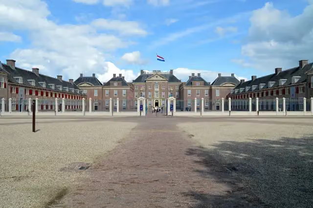
Koninklijke Weg
Royal Way
178.1 km · From A to B
± 39:50 hHard
554benches and picnic tables7public toilets13water fountains and refill points
- 8
- 9
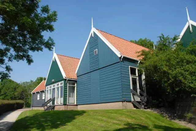
Pionierspad - dagwandeling B
Pioneers' Trail - day walk B
11.1 km · Circular walk
± 2:30 hModerate
11benches and picnic tables0public toilets0water fountains and refill points
- 10
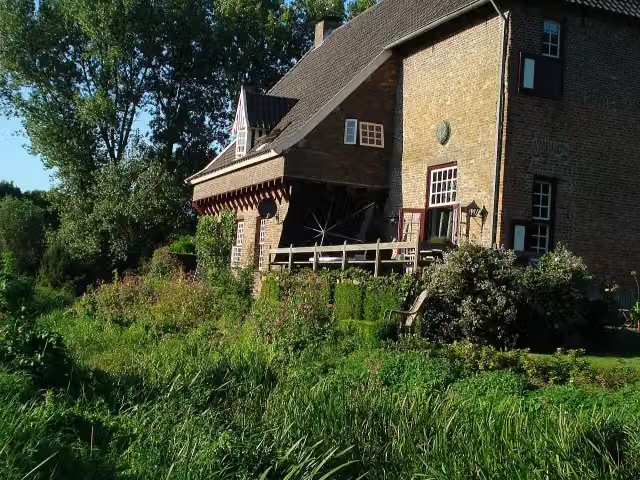
Klompenweg
Clog Way
24.1 km · From A to B
± 5:20 hHard
35benches and picnic tables0public toilets1water point
Walks per province and place
Per province the places with the most routes. The province itself has them all.
Frisia117 routes ›
- Súdwest-Fryslân30 ›
- Noardeast-Fryslân25 ›
- Tytsjerksteradiel17 ›
- Leeuwarden15 ›
- Weststellingwerf14 ›
- De Fryske Marren13 ›





