 Outdoor Pitstop
Walking guide Oldambt · Updated on 5 November 2026
The best walks in Oldambt
Oldambt has 15 walks on the Outdoor Pitstop map. The 6 best are 12.8 km long on average. Along the way you find 127 benches and picnic tables, 1 water point and 1 public toilet in total.
i
i
The 6 best walks
In the order of our score: a photo, points of interest along the way, a toilet or water point, a circular walk, a description and how often people search for the route.
The best walking route in Oldambt is Groot Frieslandpad - 19 (16.9 km, moderate).
The numbers on the map are the routes below, at their starting point. Pitstops count up to 100 m from the route. Walking time assumes 4.5 km an hour plus 10 minutes per 100 m of ascent.
- 1
i
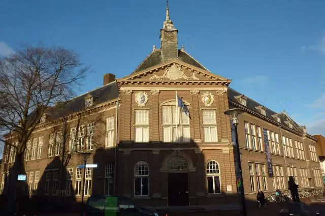
Photo: Fransvannes · Wikimedia Commons · CC BY-SA 3.0View the photo on Wikimedia CommonsGroot Frieslandpad - 19
ModerateGreat Friesland Trail - 19
16.9 km · ± 3:45 h · From A to B · start Veendam
1 public toilet1 water point44 benches and picnic tables
- 2
i
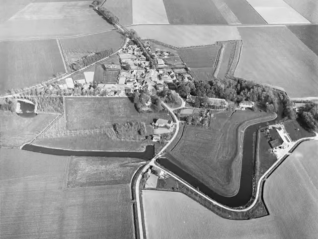
Photo: Capital Press Schiphol (Fotograaf) · Wikimedia Commons · CC BY-SA 4.0View the photo on Wikimedia CommonsNeighbours' Trail stage 01
22.2 km · ± 4:55 h · From A to B · start Oldambt
0 public toilets0 water fountains and refill points39 benches and picnic tables
- 3
Dutch Coastal Trail part 3, section 15
9.7 km · ± 2:10 h · From A to B · start Oldambt
0 public toilets0 water fountains and refill points25 benches and picnic tables
- 4
i
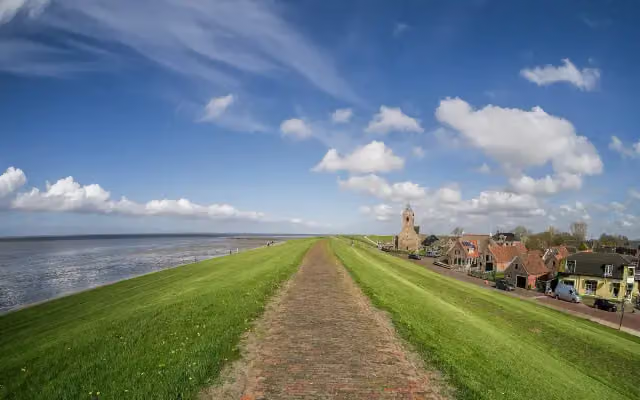
Photo: Uberprutser · Wikimedia Commons · CC BY-SA 4.0View the photo on Wikimedia CommonsDutch Coastal Trail part 3, section 14
19.7 km · ± 4:25 h · ↗ 7 m · From A to B · start Eemsdelta
0 public toilets0 water fountains and refill points14 benches and picnic tables
- 5
Tour of the Netherlands Dutch Coastal Trail part 3, section 15 (Kostverloren - Bad Nieuweschans) RVN variant
7.7 km · ± 1:40 h · From A to B · start Oldambt
0 public toilets0 water fountains and refill points5 benches and picnic tables
- 6
European long-distance trail E9 / International coastal route, Germany, Lower Saxony
378 m · ± 5 min · From A to B · start Oldambt
0 public toilets0 water fountains and refill points0 benches and picnic tables
All 9 walks from Oldambt, A to Z
- Europäischer Fernwanderweg E9 / International coastal route, Deutschland, Niedersachsen · European long-distance trail E9 / International coastal route, Germany, Lower Saxony
- European long distance path E9 / International coastal route - part Germany
- Nederlands Kustpad deel 3 variant RVN · Dutch Coastal Trail part 3 variant RVN
- Nederlands Kustpad deel 3, sectie 15 · Dutch Coastal Trail part 3, section 15
- Noaberpad · Neighbours' Trail
- Noaberpad etappe 01 · Neighbours' Trail stage 01
- Ronde van Nederland · Tour of the Netherlands
- Ronde van Nederland deel 1 - Kustpad · Tour of the Netherlands part 1 - Coastal Trail
- RvN Nederlands Kustpad deel 3, sectie 15 (Kostverloren - Bad Nieuweschans) variant RVN · Tour of the Netherlands Dutch Coastal Trail part 3, section 15 (Kostverloren - Bad Nieuweschans) RVN variant
Long-distance paths through Oldambt
Walks of several days, in stages.
i
Photo: Fransvannes · Wikimedia Commons · CC BY-SA 3.0View the photo on Wikimedia Commons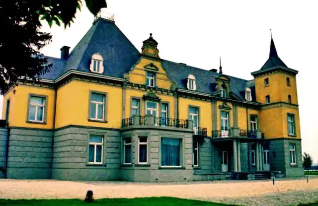
i
Photo: Pivos at Dutch Wikipedia (Original text: Pivos) · Wikimedia Commons · CC BY-SA 3.0View the photo on Wikimedia Commons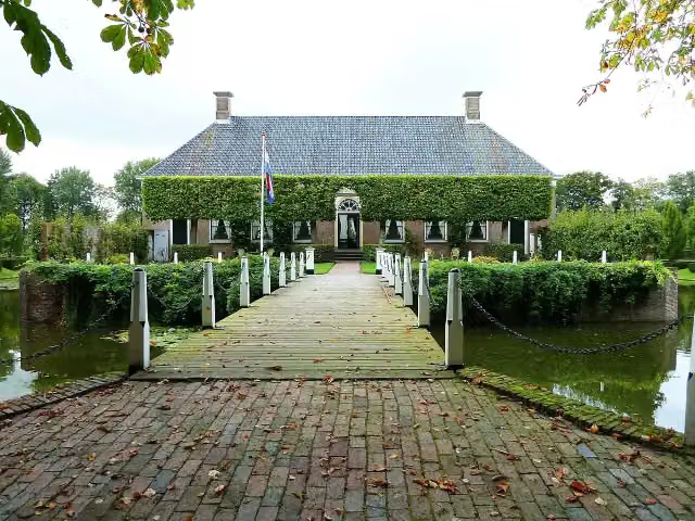
i
Photo: Hardscarf · Wikimedia Commons · CC BY-SA 3.0View the photo on Wikimedia Commons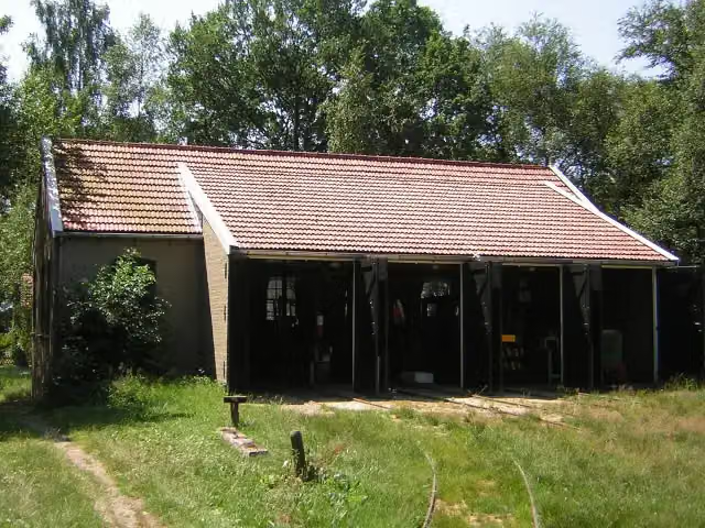
i
Photo: Winius · Wikimedia Commons · CC BY-SA 3.0View the photo on Wikimedia Commons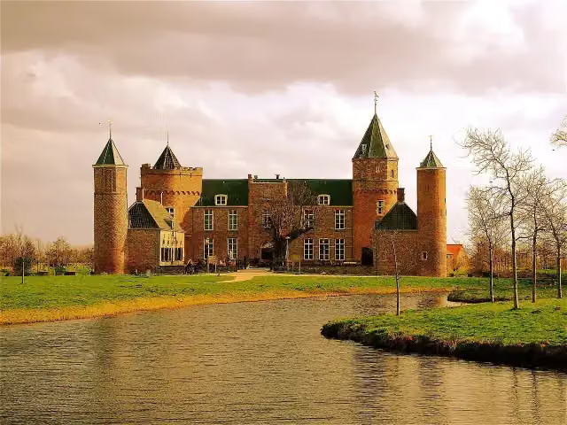
i
Photo: Akbar Simonse from The Hague · Wikimedia Commons · CC BY-SA 2.0View the photo on Wikimedia CommonsRonde van Nederland deel 1 - Kustpad
Tour of the Netherlands part 1 - Coastal Trail
692.6 km · From A to B
Points of interest along the walks
Along the 6 best walks.
Veenkoloniaal museum
Museum · along 1 walk
Memorial · along 2 walks
i
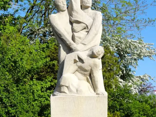
Photo: Capital Press Schiphol (Fotograaf) · Wikimedia Commons · CC BY-SA 4.0View the photo on Wikimedia CommonsArchaeological site · along 1 walk

Memorial · along 1 walk
Walks per place in Groningen province
6 places have their own guide.
Explore further
Frequently asked questions
How many walks are there in Oldambt?
The Outdoor Pitstop map has 15 walks in Oldambt, including 9 long-distance paths in stages.
What is the best walk in Oldambt?
At the top of this guide is Groot Frieslandpad - 19 (16.9 km, moderate). Next come Noaberpad etappe 01 and Nederlands Kustpad deel 3, sectie 15.
Which walks in Oldambt have a toilet along the way?
In this guide, Groot Frieslandpad - 19 have a public toilet along the route.
Which long-distance paths run through Oldambt?
Among others Groot Frieslandpad, Ronde van Nederland, Nederlands Kustpad deel 3 - Hoofdroute and Noaberpad run through this area.
Popular nearby
Guides of places nearby





