 Outdoor Pitstop
Walking route · Oldambt · Neighbours' Trail · Updated on 5 November 2026
Noaberpad walk
Noaberpad is a walk of 358.9 km from Oldambt. Along the way you'll find 569 benches and picnic tables, 6 water fountains and refill points, 3 public toilets, 3 bike pumps and 1 food stand.
i
i
i
The route step by step
From start to finish, with what you pass along the way and the distance in between.
- 358.9 km
- ± 3:30 h per stage
- Moderate per stage
- From A to B
- National route
Pick a stage to see the pitstops per kilometre. Along the way you'll find 569 benches and picnic tables, 6 water fountains and refill points, 3 public toilets, 3 bike pumps and 1 food stand.
Follow these steps in the appThe route with the water points, toilets and sights within 100 m of it.
13 sights along the way
In the order you pass them. With the Outdoor Pitstop app you hear their story on the spot. 5 more along the route are on the map.
i
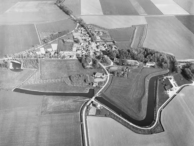
Photo: Capital Press Schiphol (Fotograaf) · Wikimedia Commons · CC BY-SA 4.0View the photo on Wikimedia CommonsArchaeological site
- Audio story · 2 min
i
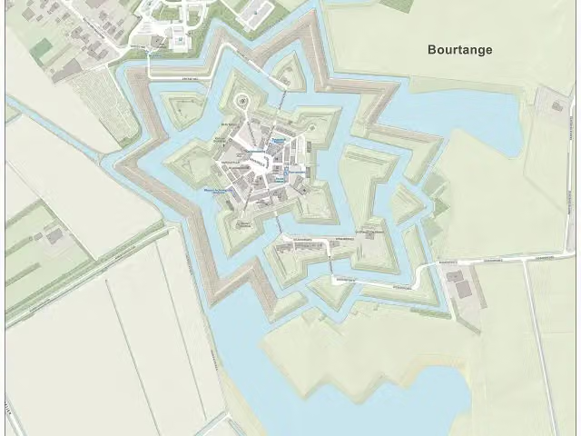
Photo: Janwillemvanaalst · Wikimedia Commons · CC BY-SA 4.0View the photo on Wikimedia CommonsFort Bourtange
Castle
- Audio story · 1 min
i
Photo: Winius · Wikimedia Commons · CC BY-SA 3.0View the photo on Wikimedia Commons 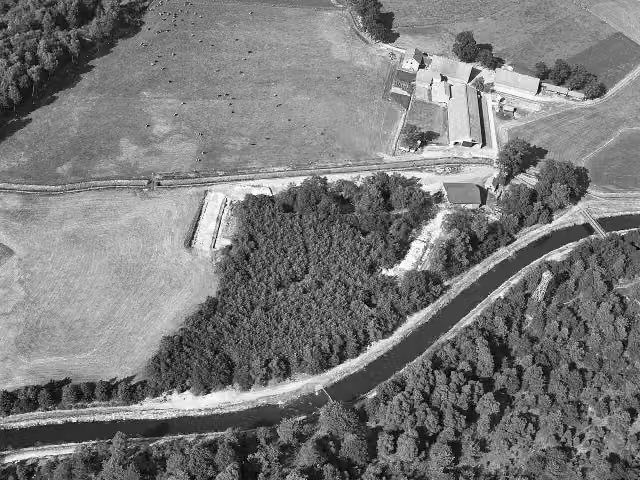 Story
i
Photo: Capital Press Schiphol (Fotograaf) · Wikimedia Commons · CC BY-SA 4.0View the photo on Wikimedia Commons
Observation tower
Memorial
Observation tower
i
Photo: Ziko van Dijk · Wikimedia Commons · CC BY-SA 3.0View the photo on Wikimedia CommonsMuseum
Stages (23)
- 1Noaberpad etappe 1Neighbours' Trail stage 122.2 km
- 2Noaberpad etappe 2Neighbours' Trail stage 217.4 km
- 3Noaberpad etappe 3Neighbours' Trail stage 314.7 km
- 4Noaberpad etappe 4Neighbours' Trail stage 414.9 km
- 5Noaberpad etappe 5Neighbours' Trail stage 520.2 km
- 6Noaberpad etappe 6Neighbours' Trail stage 622.2 km
- 7Noaberpad etappe 7Neighbours' Trail stage 728.5 km
- 8Noaberpad etappe 8Neighbours' Trail stage 89.2 km
- 9Noaberpad etappe 11Neighbours' Trail stage 1118.8 km
- 10Noaberpad etappe 12Neighbours' Trail stage 1217.9 km
- 11Noaberpad etappe 13Neighbours' Trail stage 1317.6 km
- 12Noaberpad etappe 14Neighbours' Trail stage 1418.4 km
- 13Noaberpad etappe 15Neighbours' Trail stage 1517.9 km
- 14Noaberpad etappe 16Neighbours' Trail stage 166.2 km
- 15Noaberpad etappe 17Neighbours' Trail stage 1724.3 km
- 16Noaberpad etappe 18Neighbours' Trail stage 188.6 km
- 17Noaberpad etappe 20Neighbours' Trail stage 2012.9 km
- 18Noaberpad etappe 21Neighbours' Trail stage 2120.5 km
- 19Noaberpad etappe 22Neighbours' Trail stage 225.1 km
- 20Noaberpad etappe 23Neighbours' Trail stage 232.4 km
- 21Aanlooproute - etappe 24approach route - stage 2411.1 km
- 22Alternatief - etappe 25Alternative - stage 255.5 km
- 23Hondenroute - etappe 26Dogs' route - stage 2622.5 km
Elevation and terrain
Way types
358.9 km in total- Path: 102 km
- Track: 83.3 km
- Road: 66.4 km
- Cycleway: 62.5 km
- Footpath: 24.2 km
- Street: 15.8 km
- Busy road: 3.3 km
- Stairs: 4 stairs
Surfaces
358.9 km in total- Asphalt: 50.5 km
- Unpaved: 50 km
- Paved: 47.4 km
- Natural: 47 km
- Gravel: 39.1 km
- Unknown: 123.6 km
About the walking route Noaberpad
Updated on 5 November 2026, with data from OpenStreetMap and the AHN.
Where do you walk?
Noaberpad is a walking route of 358.9 km that starts in Oldambt. It does not end where it starts. You start in Bad Nieuweschans and finish in Milsbeek.
How hard is the route?
There are 4 flights of steps along the way. Allow ± 3:30 h per stage, without breaks. Per stage the level is moderate.
What paths do you walk on?
The longest part is path (102 km), track (83.3 km) and road (66.4 km). Of the surface, 50.5 km asphalt and 50 km unpaved. For 123.6 km the surface is not known.
Pitstops along the way
Within 100 metres of the route there are 569 benches and picnic tables, 6 water fountains and refill points, 3 public toilets, 3 bike pumps and 1 food stand. The Outdoor Pitstop app navigates you there.
Walks nearby
5- Nederlands Kustpad deel 3, sectie 15Easy · From A to B9.7 km
- RvN Nederlands Kustpad deel 3, sectie 15 (Kostverloren - Bad Nieuweschans) variant RVNEasy · From A to B7.7 km
- Nederlands Kustpad deel 3, sectie 14Moderate · From A to B19.7 km
- Groot Frieslandpad - 22Easy · From A to B3.3 km
- Groot Frieslandpad - 21Moderate · From A to B15 km
Sights nearby
Within 10 km of the route, best known first.
- 1
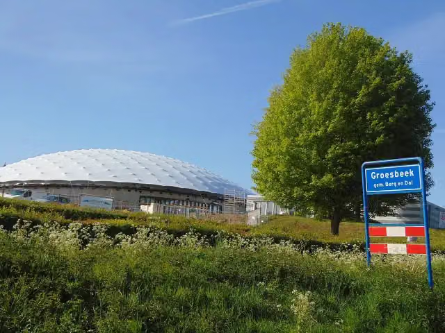 Freedom MuseumMuseum · 5.4 km from the route
- 2
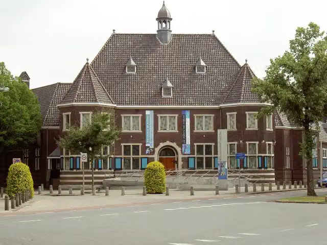 Rijksmuseum TwentheMuseum · 4.4 km from the route
- 3
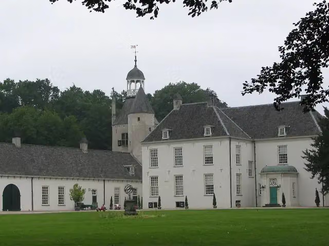 Kasteel WischCastle · 196 m from the route
- 4
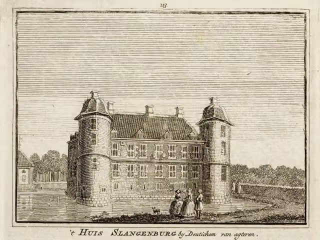 Kasteel SlangenburgCastle · 4.5 km from the route
- 5
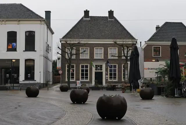 Nationaal OnderduikmuseumMuseum · 7.2 km from the route
- 6
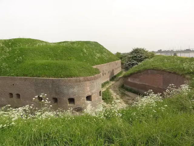 Fort PannerdenAttraction · 8.8 km from the route
- 7
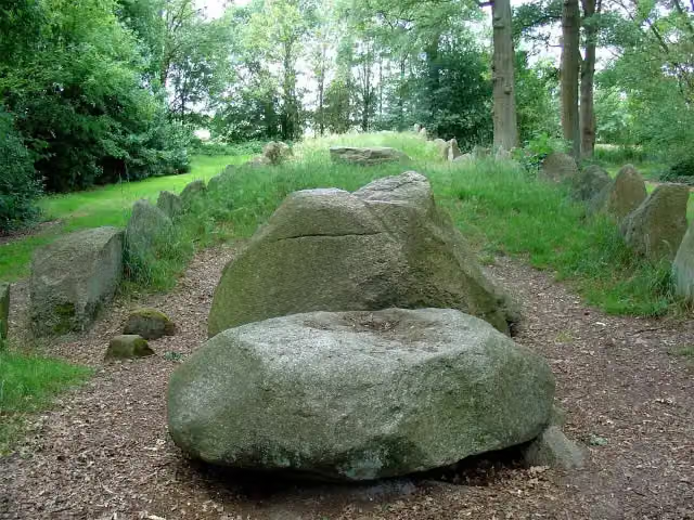 Hunebed D43 Emmen SchimmeresArchaeological site · 915 m from the route
- 8
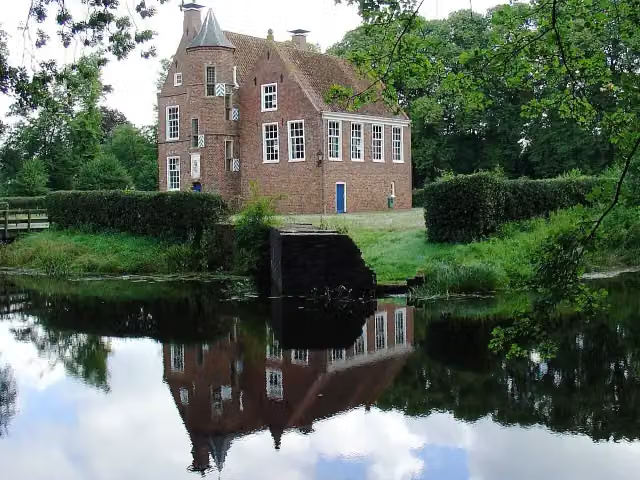 Burcht WeddeCastle · 136 m from the route
- 9
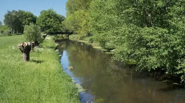 NiersmündungAttraction · 2.7 km from the route
- 10
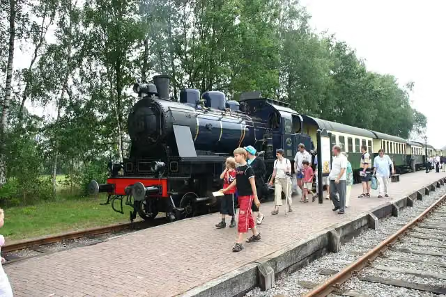 SeinhuisjeAttraction · 5.3 km from the route
- 11
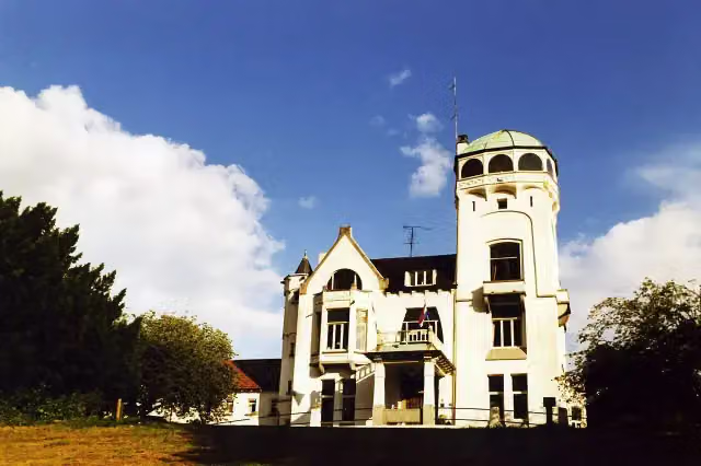 Jachtslot De MookerheideCastle · 5.8 km from the route
- 12
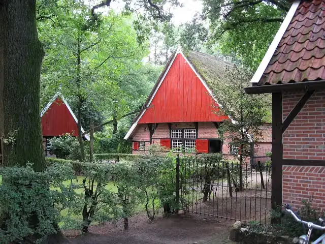 Achterhoeks OpenluchtmuseumMuseum · 7.5 km from the route
- 13
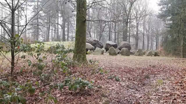 Hunebed D49 Papeloze kerkArchaeological site · 9.1 km from the route
- 14
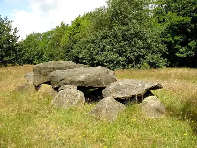 Hunebed D41 Emmen NoordArchaeological site · 1.5 km from the route
- 15
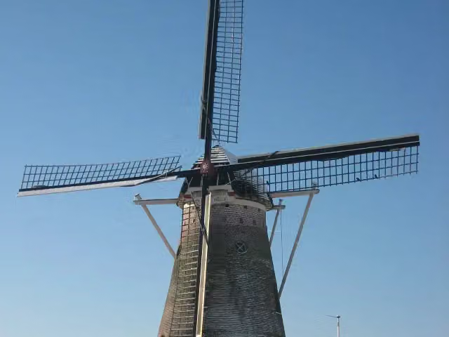 SevinkmolenAttraction · 4.3 km from the route
- 16
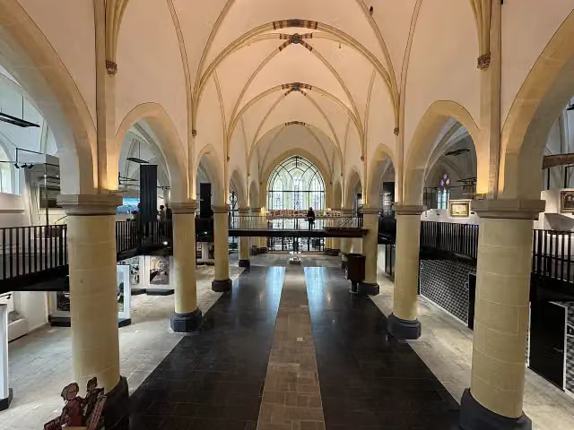 Nationaal Museum Tachtigjarige OorlogMuseum · 4.9 km from the route
- 17
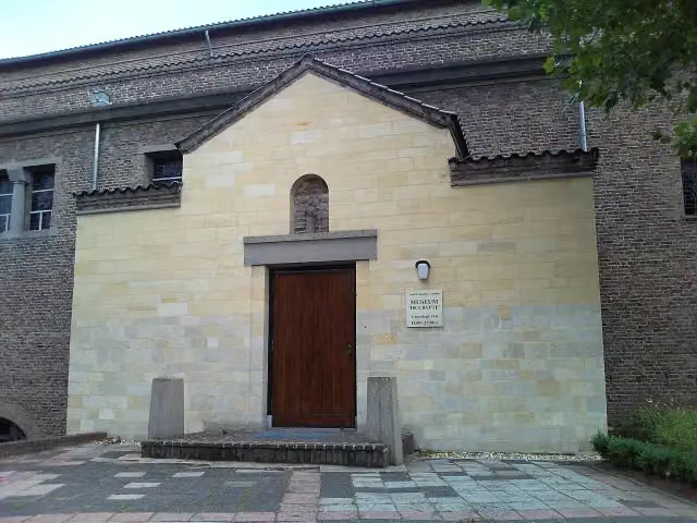 De CrypteMuseum · 4.3 km from the route
- 18
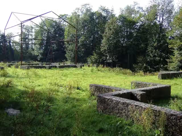 Romeinse villa PlasmolenArchaeological site · 2.1 km from the route
- 19
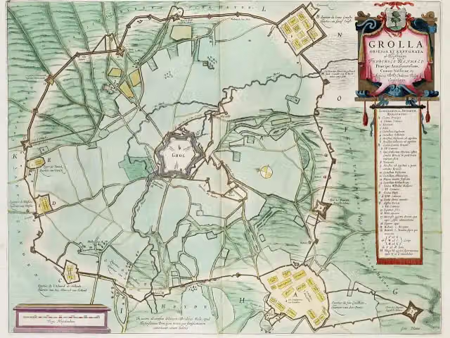 Engelse SchansArchaeological site · 8.1 km from the route
- 20
 TweestrydAttraction · 1.5 km from the route
- 21
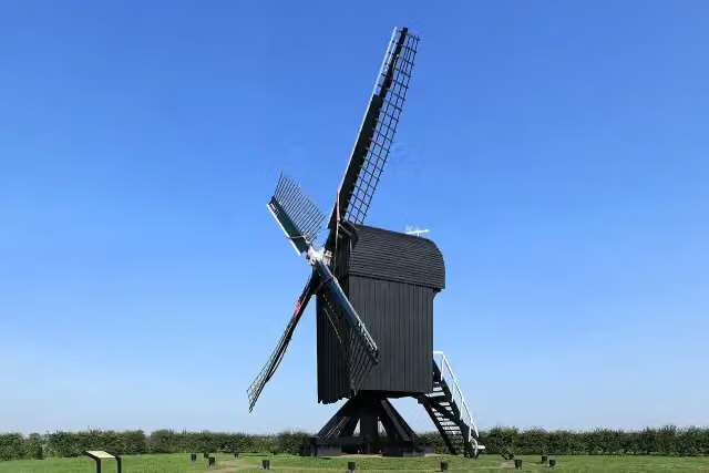 Standerdmolen Ter HaarAttraction · 495 m from the route
- 22
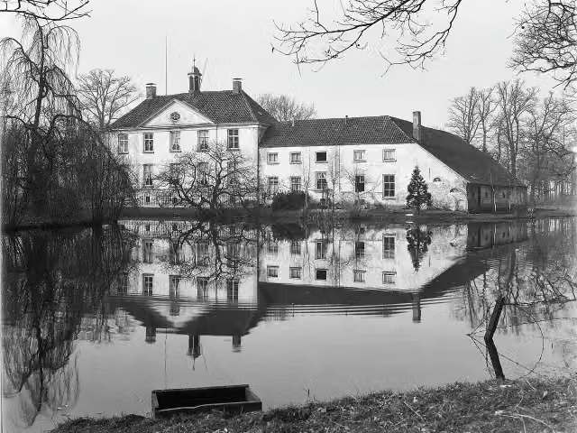 Huize BabberichCastle · 4.7 km from the route
- 23
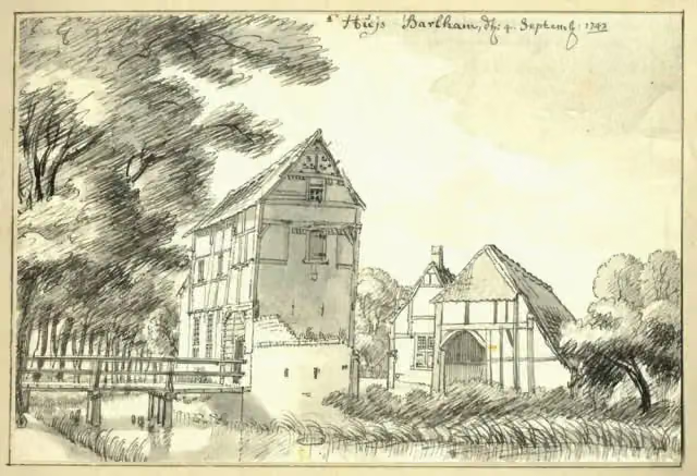 BarlhamRuins · 8.4 km from the route
- 24
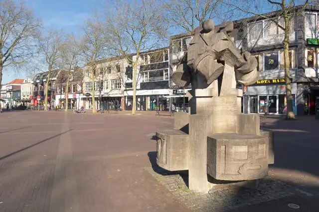 De Vier TamboersMemorial · 8.7 km from the route
- 25
 UitkijktorenObservation tower · 3.2 km from the route
Explore more
Frequently asked questions
How long is Noaberpad?
Noaberpad is 358.9 km long, in 23 stages of 15.6 km on average. Allow ± 3:30 h per stage of walking: 4.5 km an hour and 10 minutes more per 100 metres of climbing, without breaks.
Is this route a circular walk?
No, the route runs from Bad Nieuweschans to Milsbeek.
Where does this route start?
The route starts in Oldambt.
How hard is this route?
Moderate per stage.
Are there toilets along this route?
Yes, there are 3 public toilets within 100 m of the route.
Can you fill up with water along this route?
Yes, there are 6 water fountains and refill points within 100 m of the route.
What is there to see along this route?
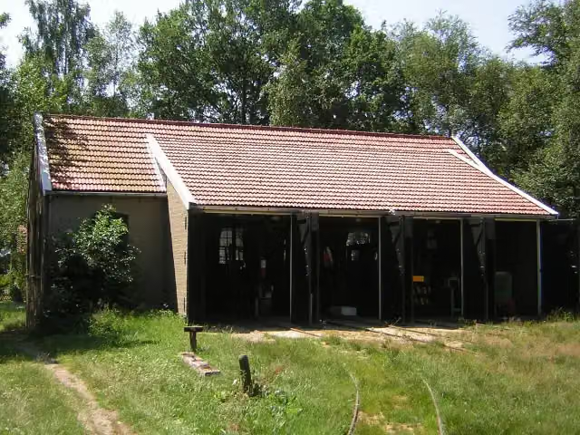
Along the way you pass Oudeschans, Fort Bourtange and Industrieel Smalspoor Museum.
Starting point
More routes from this place
Route data © OpenStreetMap contributors





