 Outdoor Pitstop
Walking route · Hollands Kroon · Dutch Coastal Trail part 3 - Main route · Updated on 6 November 2026
Nederlands Kustpad deel 3 - Hoofdroute walk
Nederlands Kustpad deel 3 - Hoofdroute is a walk of 247.3 km from Hollands Kroon. Along the way you'll find 260 benches and picnic tables, 5 water fountains and refill points, 9 public toilets and 1 bike pump.
i
i
i
The route step by step
From start to finish, with what you pass along the way and the distance in between.
- 247.3 km
- ± 3:55 h per stage
- ↑ 88 m · ↓ 89 m
- Moderate per stage
- From A to B
- National route
- Colour of the signs
Start in Hollands Kroon
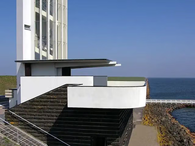
0 kmAt the start: Vlietermonument.
19.3 km · 2 benches

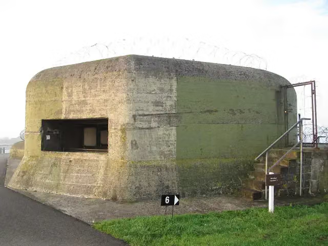
Museum
15.6 km · 11 benches
Stienen Man
34.9 kmMemorial
790 m · 2 benches
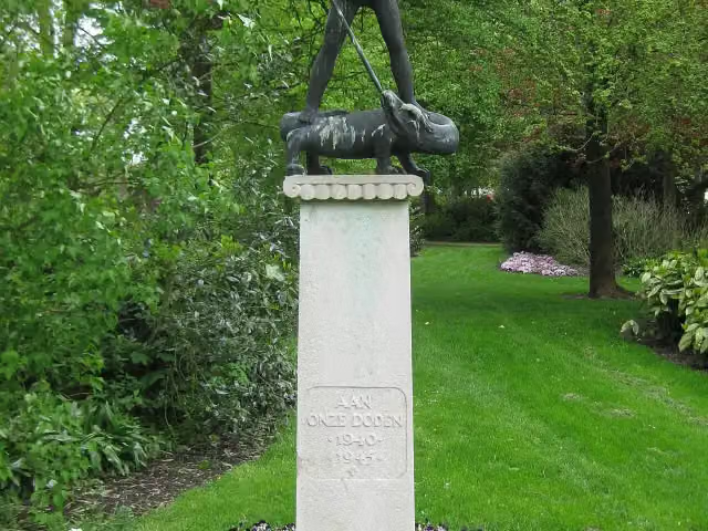
Sint-Joris en de draak
35.7 kmMemorial
292 m · bench
Public toilet and water point
36 km348 m · 9 benches
Public toilet and water point
271 m · 6 benches
Public toilet
36.6 km165 m · 5 benches
Water point
36.8 km9.6 km · 2 benches
Water point
46.4 km25.5 km · 6 benches
De Slikwerker
71.9 kmMemorial
40 km · 14 benches
Vissersmonument and 1 more
111.9 km't Fiskershúske
12.6 km · 16 benches
Public toilet
124.5 km473 m
Public toilet
125 km9.8 km · 6 benches
2 public toilets
134.8 km8.6 km · 23 benches
Borg Verhildersum
143.4 kmCastle
12.5 km · 13 benches
Verzetsmonument
155.9 kmMemorial
33.2 km · 45 benches
Voormalige locatie Alberdaheerd
189.1 kmArchaeological site
17.8 km · 34 benches
Water point
206.9 km760 m · 7 benches
Public toilet and bike pump
207.7 km7.5 km · 14 benches
Monument Oterdum
215.1 kmMemorial
2.5 km · 2 benches
Public toilet
217.6 km426 m · 5 benches
Boog van Ziel
218 kmMemorial
23.2 km · 13 benches
Ongebroken
241.2 kmMemorial
6.1 km · 24 benches
Finish
247.3 km
Longest stretch without a toilet: 87.9 kmBetween 36.6 km and 124.5 km there is no public toilet within 100 m of the route.
The route with the water points, toilets and sights within 100 m of it.
14 sights along the way
In the order you pass them. With the Outdoor Pitstop app you hear their story on the spot. 6 more along the route are on the map.
- Story
i
Photo: Johann H. Addicks / Btr · Wikimedia Commons · CC BY-SA 3.0View the photo on Wikimedia CommonsVlietermonument
Observation tower · after 34 m
Kazemattenmuseum Kornwerderzand
Museum · after 19.3 km

Memorial · after 34.9 km
i
Photo: Marion Golsteijn · Wikimedia Commons · CC BY-SA 3.0View the photo on Wikimedia CommonsMemorial · after 35.7 km
 Audio story · 2 min
i
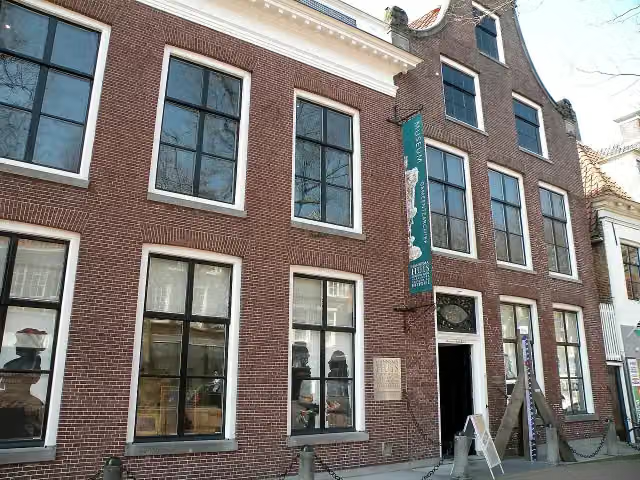
Photo: Weefemwe · Wikimedia Commons · CC BY-SA 3.0View the photo on Wikimedia CommonsGemeentemuseum Het Hannemahuis
Museum · after 36.3 km
 Story
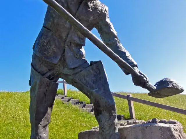
De Slikwerker
Memorial · after 71.9 km
 Audio story · 1 min
i
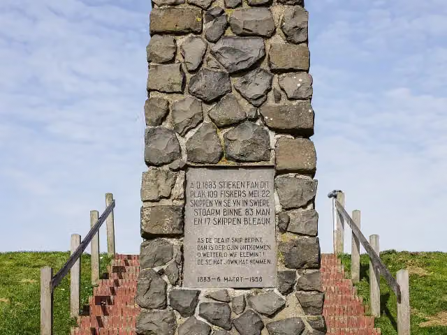
Photo: Agnes Monkelbaan · Wikimedia Commons · CC BY-SA 4.0View the photo on Wikimedia CommonsVissersmonument
Memorial · after 111.9 km
Museum · after 112 km
Stages (14)
- 1Nederlands Kustpad deel 3, sectie 00Dutch Coastal Trail part 3, section 0027.5 km
- 2Nederlands Kustpad deel 3, sectie 03bDutch Coastal Trail part 3, section 03b9.8 km
- 3Nederlands Kustpad deel 3, sectie 04Dutch Coastal Trail part 3, section 0417.6 km
- 4Nederlands Kustpad deel 3, sectie 05Dutch Coastal Trail part 3, section 0513.2 km
- 5Nederlands Kustpad deel 3, sectie 06Dutch Coastal Trail part 3, section 0618.5 km
- 6Nederlands Kustpad deel 3, sectie 07Dutch Coastal Trail part 3, section 0718.1 km
- 7Nederlands Kustpad deel 3, sectie 08Dutch Coastal Trail part 3, section 0816 km
- 8Nederlands Kustpad deel 3, sectie 09Dutch Coastal Trail part 3, section 0916.2 km
- 9Nederlands Kustpad deel 3, sectie 10Dutch Coastal Trail part 3, section 1018.9 km
- 10Nederlands Kustpad deel 3, sectie 11Dutch Coastal Trail part 3, section 1119.3 km
- 11Nederlands Kustpad deel 3, sectie 12Dutch Coastal Trail part 3, section 1224.4 km
- 12Nederlands Kustpad deel 3, sectie 13Dutch Coastal Trail part 3, section 1318.4 km
- 13Nederlands Kustpad deel 3, sectie 14Dutch Coastal Trail part 3, section 1419.7 km
- 14Nederlands Kustpad deel 3, sectie 15Dutch Coastal Trail part 3, section 159.7 km
Elevation and terrain
- Up
- ↑ 88 m
- Down
- ↓ 89 m
- Highest point
- 10 m
- Lowest point
- -2 m
- 20 stairs
Elevation from AHN (Rijkswaterstaat), smoothed.
Way types
247.3 km in total- Road: 72.5 km
- Cycleway: 69.9 km
- Path: 67.9 km
- Street: 17.9 km
- Footpath: 9.2 km
- Track: 6.1 km
- Busy road: 1.7 km
- Stairs: 20 stairs
- Unknown: 750 m
Surfaces
247.3 km in total- Asphalt: 99.1 km
- Natural: 47.9 km
- Paved: 44.6 km
- Gravel: 5.8 km
- Unpaved: 2.5 km
- Unknown: 46.7 km
About the walking route Nederlands Kustpad deel 3 - Hoofdroute
Updated on 6 November 2026, with data from OpenStreetMap and the AHN.
Where do you walk?
Nederlands Kustpad deel 3 - Hoofdroute is a walking route of 247.3 km that starts in Hollands Kroon. It does not end where it starts. You start in Afsluitdijk and finish in Bad Nieuweschans. Along the way you pass Vlietermonument (after 34 m), Kazemattenmuseum Kornwerderzand (after 19.3 km) and Stienen Man (after 34.9 km).
How hard is the route?
You climb 88 m in total and descend 89 m. There are 20 flights of steps along the way. Allow ± 3:55 h per stage, without breaks. Per stage the level is moderate.
What paths do you walk on?
The longest part is road (72.5 km), cycleway (69.9 km) and path (67.9 km). Of the surface, 99.1 km asphalt and 47.9 km natural. For 46.7 km the surface is not known.
Pitstops along the way
Within 100 metres of the route there are 260 benches and picnic tables, 5 water fountains and refill points, 9 public toilets and 1 bike pump. You can fill your bottle after 36 km, after 36.4 km, after 36.8 km, after 46.4 km and after 206.9 km. The longest stretch without a toilet is 87.9 km. The Outdoor Pitstop app navigates you there.
Part of Noordzee Kustpad, Nederland (North Sea Trail, The Netherlands)
Website of the routeWalks nearby
6- Nederlands Kustpad deel 2 - 13Moderate · From A to B15.1 km
- Nederlands Kustpad Afsluitdijk met Bus transfer Oost-WestHard · From A to B32.6 km
- Nederlands Kustpad Afsluitdijk met Bus transfer West-OostHard · From A to B32.3 km
- Zuiderzeepad - 25Easy · From A to B4.2 km
- Noord-Hollandpad - 5Hard · From A to B21.5 km
- Zuiderzeepad - 26Hard · From A to B22.9 km
Sights nearby
Within 10 km of the route, best known first.
- 1
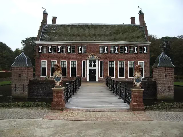 MenkemaborgCastle · 194 m from the route
- 2
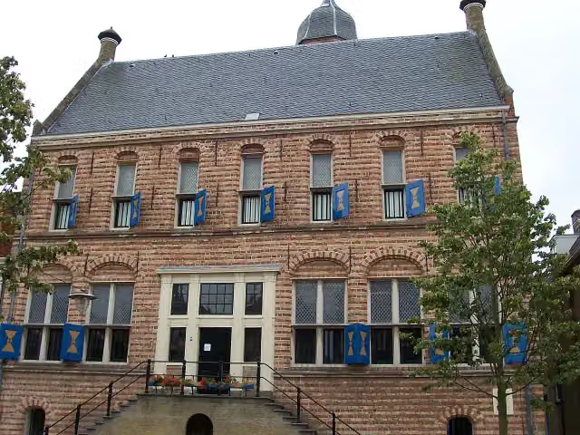 Museum MartenaMuseum · 2.6 km from the route
- 3
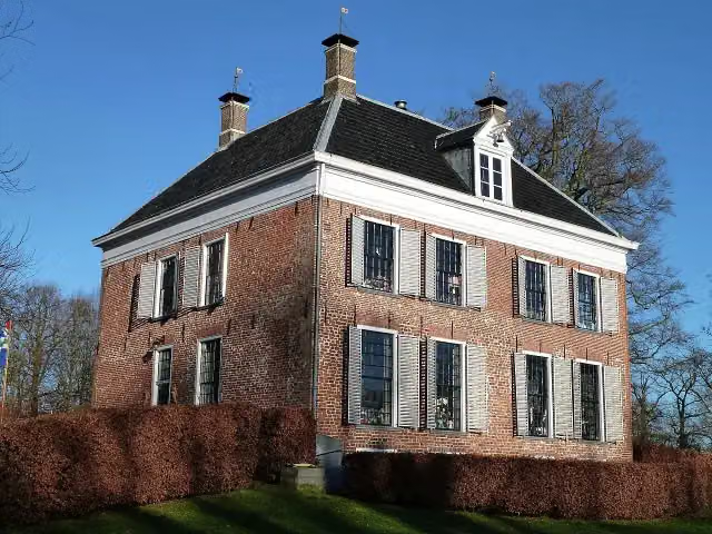 EnnemaborgAttraction · 8.9 km from the route
- 4
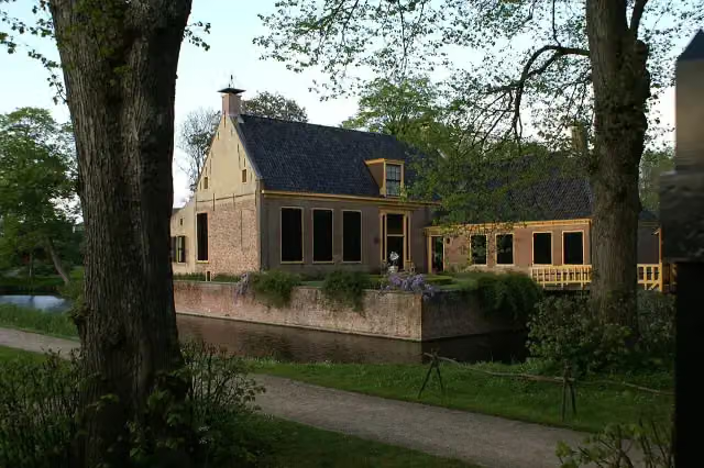 DekemastateMuseum · 9.8 km from the route
- 5
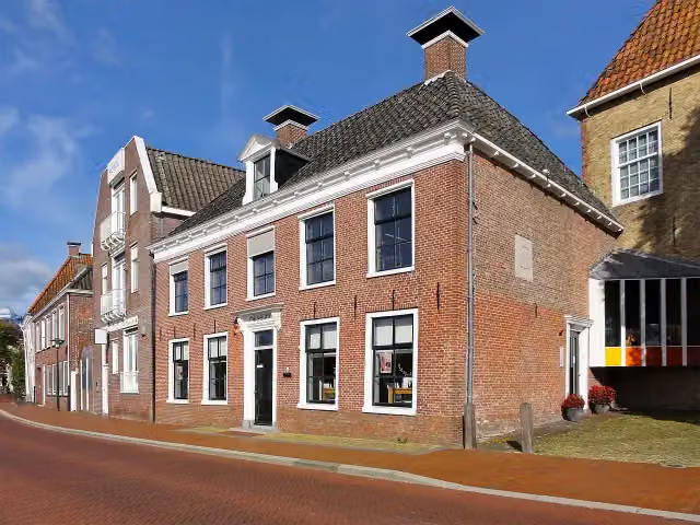 Museum DokkumMuseum · 7.7 km from the route
- 6
 Royal Eise Eisinga PlanetariumMuseum · 2.6 km from the route
- 7
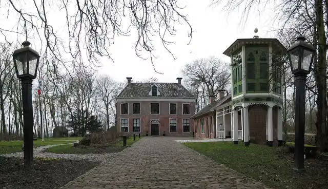 AllersmaborgAttraction · 2.8 km from the route
- 8
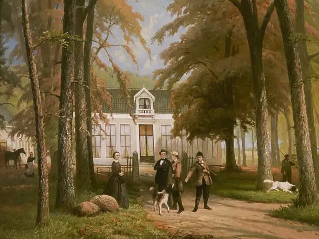 RensumaborgCastle · 2 km from the route
- 9
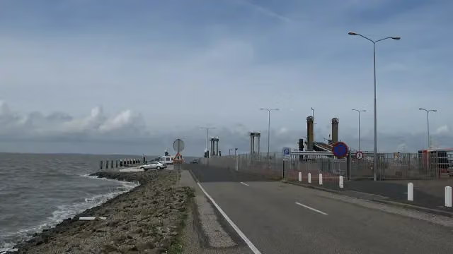 Dam Holwerd-AmelandRuins · 3.6 km from the route
- 10
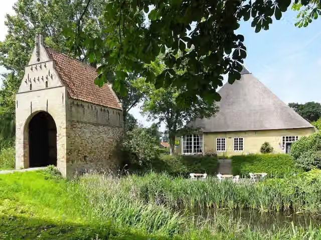 LiauckamastateCastle · 1.9 km from the route
- 11
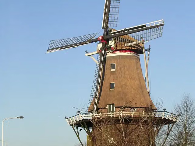 Molenmuseum De EendrachtMuseum · 3.1 km from the route
- 12
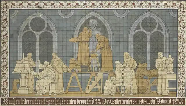 KloostermuseumMuseum · 9.5 km from the route
- 13
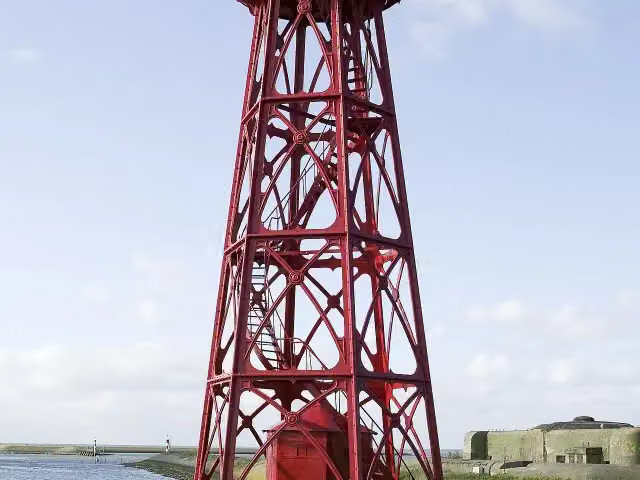 AttractionAttraction · 6 km from the route
- 14
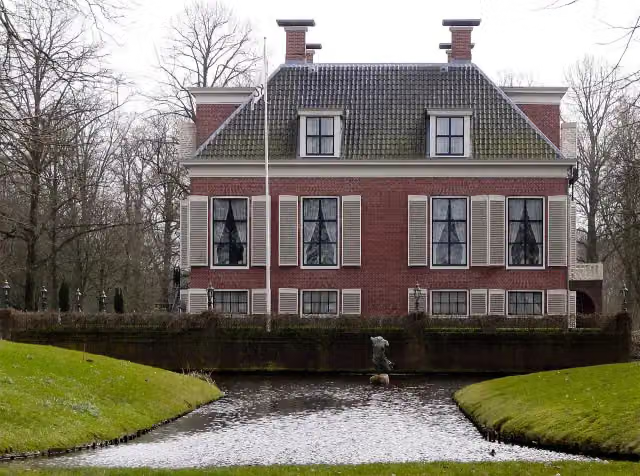 BreedenborgCastle · 190 m from the route
- 15
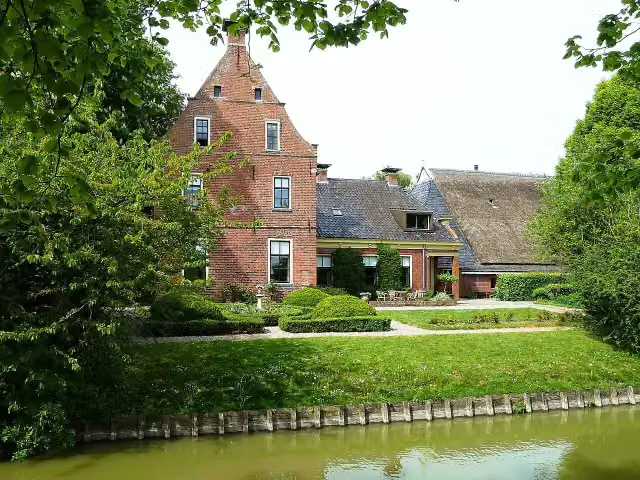 PiloersemaborgAttraction · 7.2 km from the route
- 16
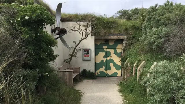 Bunkermuseum SchleiMuseum · 9.2 km from the route
- 17
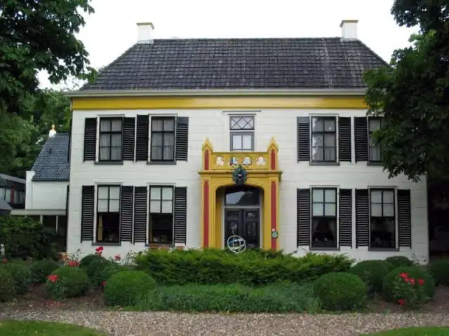 EkensteinCastle · 1.8 km from the route
- 18
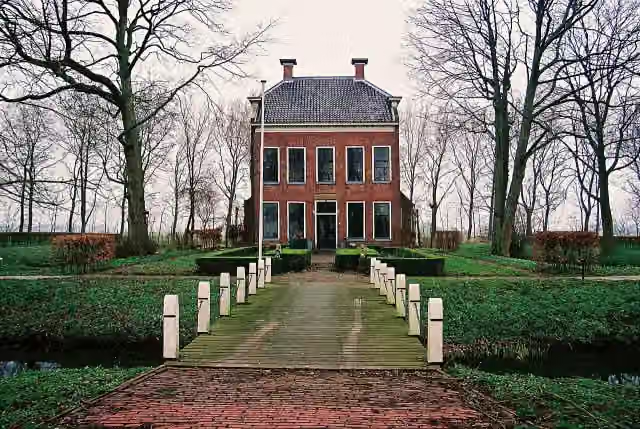 RusthovenCastle · 2.1 km from the route
- 19
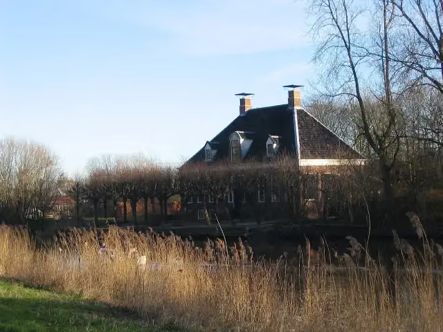 VliethovenCastle · 1.2 km from the route
- 20
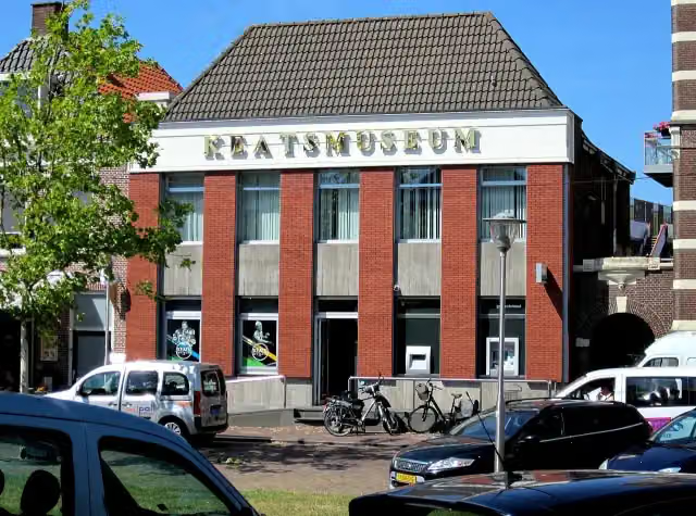 KeatsmuseumMuseum · 2.4 km from the route
- 21
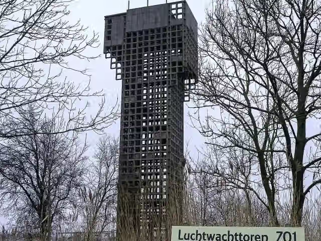 Luchtwachttoren 7O1Observation tower · 576 m from the route
- 22
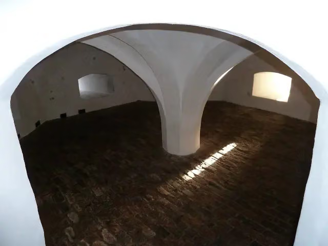 Borg EwsumCastle · 2.9 km from the route
- 23
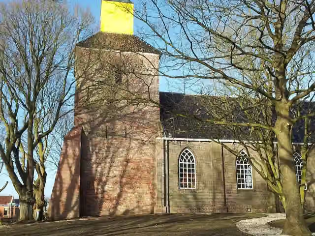 Kerk van HornhuizenViewpoint · 3.2 km from the route
- 24
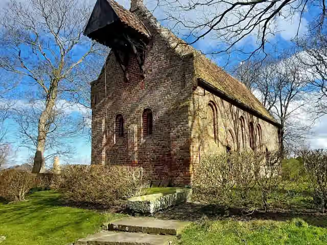 Kerkmuseum JannumMuseum · 4.1 km from the route
- 25
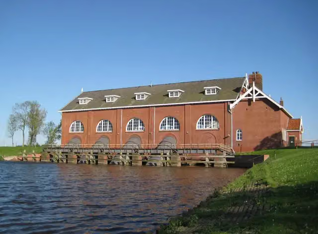 Gemaal De WaterwolfAttraction · 3 km from the route
Explore more
More walks around Hollands Kroon
Frequently asked questions
How long is Nederlands Kustpad deel 3 - Hoofdroute?
Nederlands Kustpad deel 3 - Hoofdroute is 247.3 km long, in 14 stages of 17.7 km on average. Allow ± 3:55 h per stage of walking: 4.5 km an hour and 10 minutes more per 100 metres of climbing, without breaks.
Is this route a circular walk?
No, the route runs from Afsluitdijk to Bad Nieuweschans.
Where does this route start?
The route starts in Hollands Kroon.
How hard is this route?
Moderate per stage, with 6 m per stage of climbing.
Are there toilets along this route?
Yes, there are 9 public toilets within 100 m of the route. The longest stretch without a toilet is 87.9 km.
Can you fill up with water along this route?
Yes, there are 5 water fountains and refill points within 100 m of the route.
What is there to see along this route?
Along the way you pass Vlietermonument, Kazemattenmuseum Kornwerderzand and Stienen Man.
Starting point
More routes from this place
Route data © OpenStreetMap contributors





