 Outdoor Pitstop
Walking route · Sluis · North Sea Trail, The Netherlands · Updated on 5 November 2026
Noordzee Kustpad, Nederland walk
Noordzee Kustpad, Nederland is a walk of 694.7 km from Sluis. Along the way you'll find 2,051 benches and picnic tables, 89 water fountains and refill points, 94 public toilets and 4 bike pumps.
i
i
i
The route step by step
From start to finish, with what you pass along the way and the distance in between.
- 694.7 km
- From A to B
- International route
Pick a stage to see the pitstops per kilometre. Along the way you'll find 2,051 benches and picnic tables, 89 water fountains and refill points, 94 public toilets and 4 bike pumps.
Follow these steps in the appThe route with the water points, toilets and sights within 100 m of it.
94 sights along the way
In the order you pass them. With the Outdoor Pitstop app you hear their story on the spot. 86 more along the route are on the map.
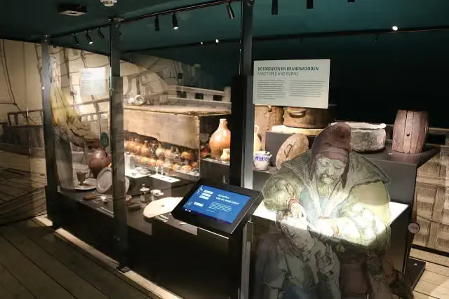
MuZEEum
Museum
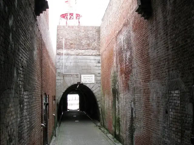
Keizersbolwerk
Castle
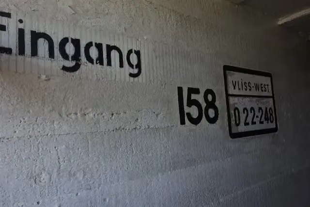
Bunkermuseum Bunker 2
Museum
 Story
Memorial
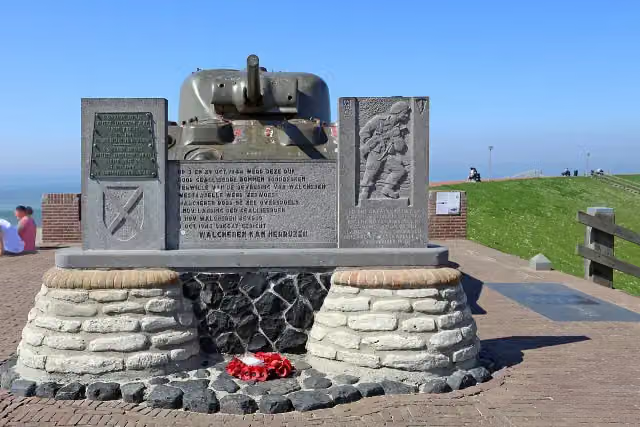
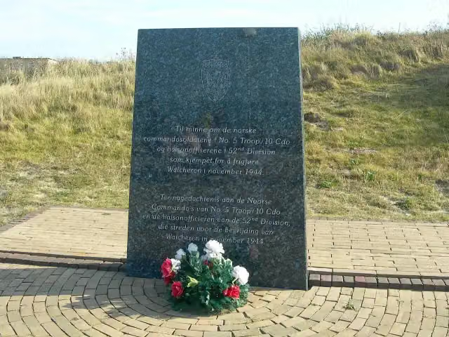
Monument voor Noorse Commando's
Memorial
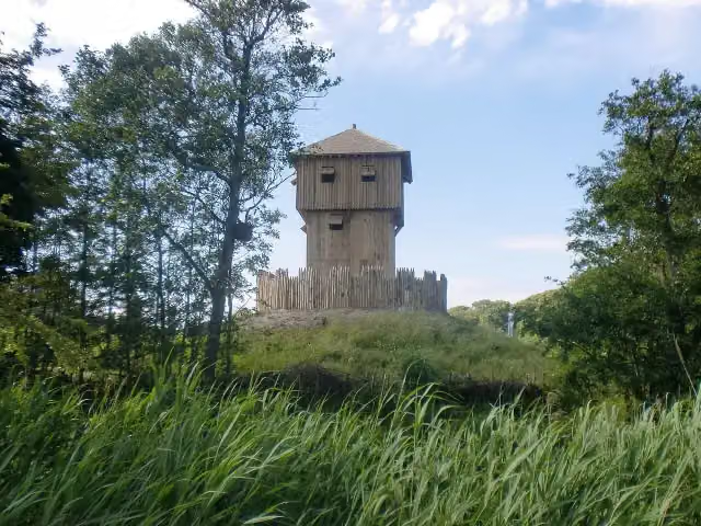
Museum
- Audio story · 2 min
i
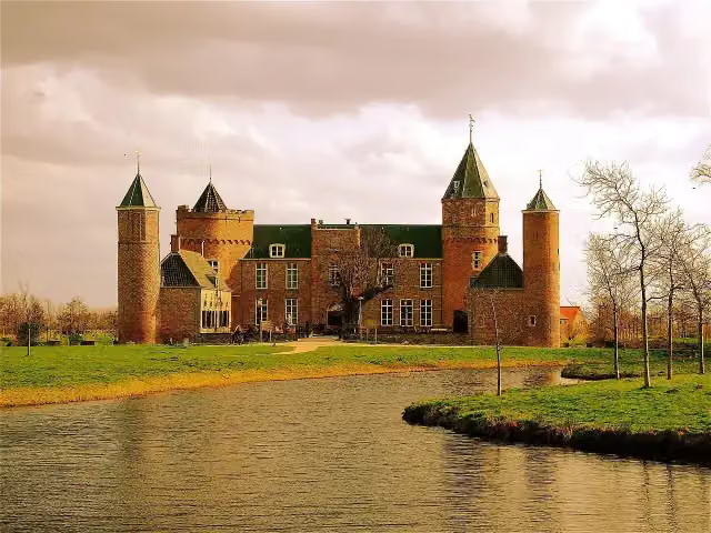
Photo: Akbar Simonse from The Hague · Wikimedia Commons · CC BY-SA 2.0View the photo on Wikimedia CommonsWesthove Castle
Castle
Stages (3)
About the walking route Noordzee Kustpad, Nederland
Updated on 5 November 2026, with data from OpenStreetMap and the AHN.
Where do you walk?
Noordzee Kustpad, Nederland is a walking route of 694.7 km that starts in Sluis. It does not end where it starts.
Pitstops along the way
Within 100 metres of the route there are 2,051 benches and picnic tables, 89 water fountains and refill points, 94 public toilets and 4 bike pumps. The Outdoor Pitstop app navigates you there.
Part of Nordsøstien (North Sea Trail)
Walks nearby
6- Via BrugensisEasy · From A to B2 km
- Grenslandpad - 1Easy · From A to B9.8 km
- Nederlands Kustpad deel 1 - 1Moderate · From A to B14.1 km
- GR 129 Dwars door België | VlaanderenEasy · From A to B5 km
- GR 5A Wandelronde van Vlaanderen (Noord)Hard · From A to B72.9 km
- European long distance path E9 - B-NLEasy · From A to B2.3 km
Sights nearby
Within 10 km of the route, best known first.
- 1
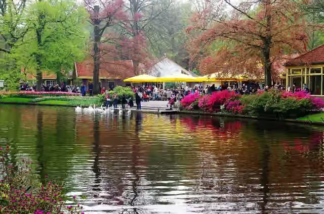 KeukenhofAttraction · 4.2 km from the route
- 2
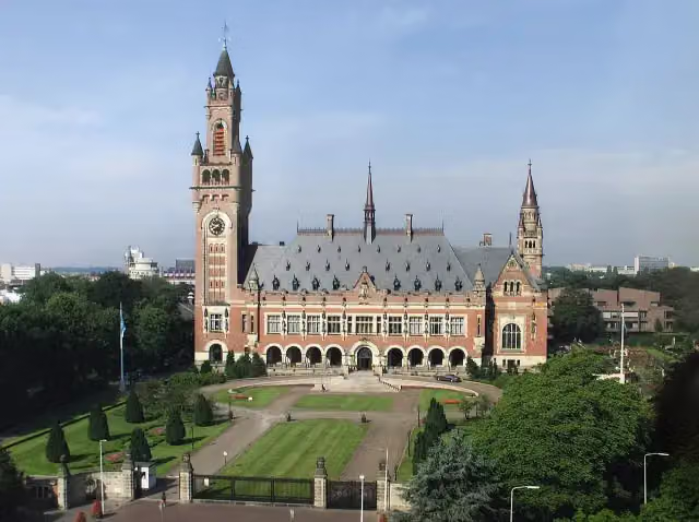 Peace PalaceAttraction · 200 m from the route
- 3
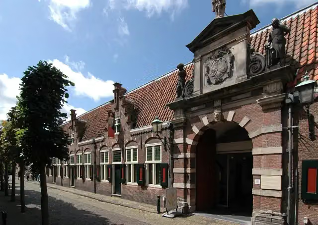 Frans Hals MuseumMuseum · 512 m from the route
- 4
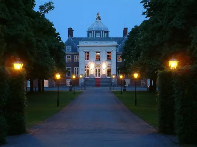 Huis ten BoschCastle · 207 m from the route
- 5
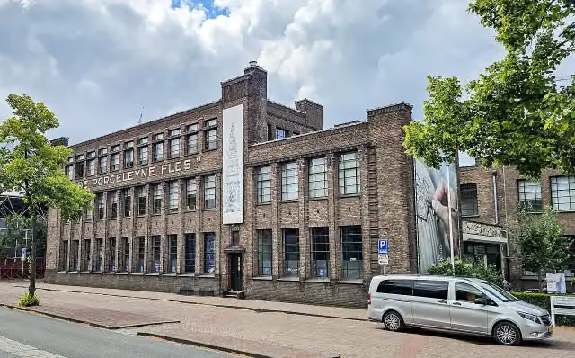 Royal DelftMuseum · 9.5 km from the route
- 6
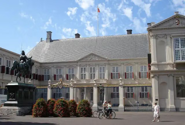 Paleis NoordeindeCastle · 186 m from the route
- 7
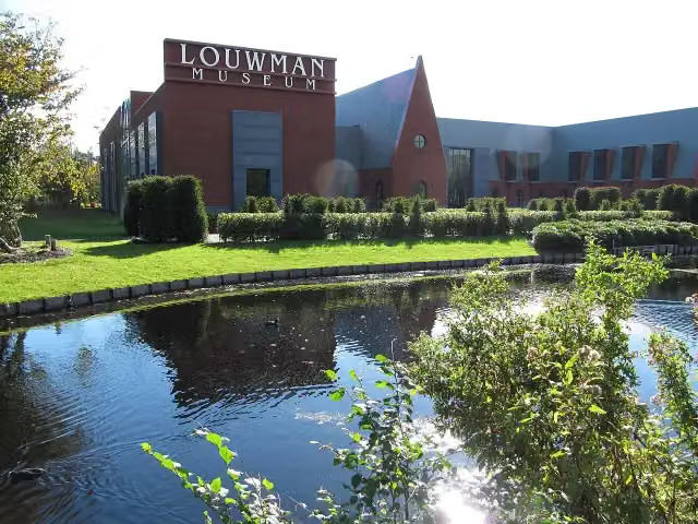 Louwman MuseumMuseum · 249 m from the route
- 8
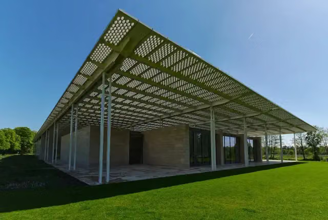 Museum VoorlindenMuseum · 419 m from the route
- 9
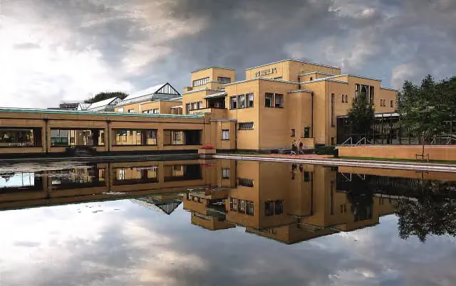 Kunstmuseum Den HaagMuseum · 860 m from the route
- 10
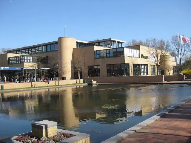 Museon-OmniversumMuseum · 877 m from the route
- 11
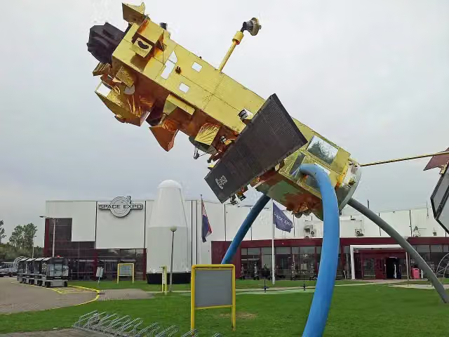 Space ExpoMuseum · 877 m from the route
- 12
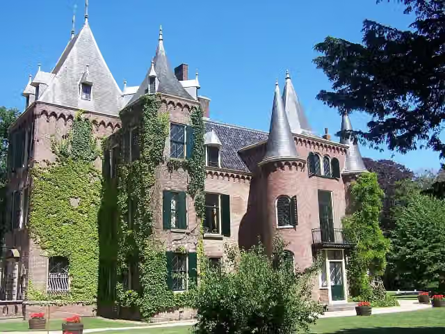 Kasteel KeukenhofCastle · 4.2 km from the route
- 13
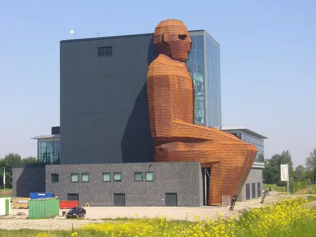 CorpusMuseum · 4.7 km from the route
- 14
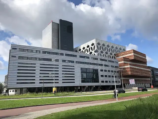 Naturalis Biodiversity CentreMuseum · 6.2 km from the route
- 15
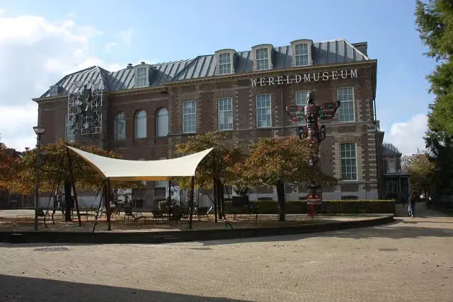 Wereldmuseum LeidenMuseum · 6.9 km from the route
- 16
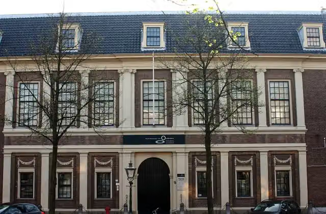 Rijksmuseum van OudhedenMuseum · 7.3 km from the route
- 17
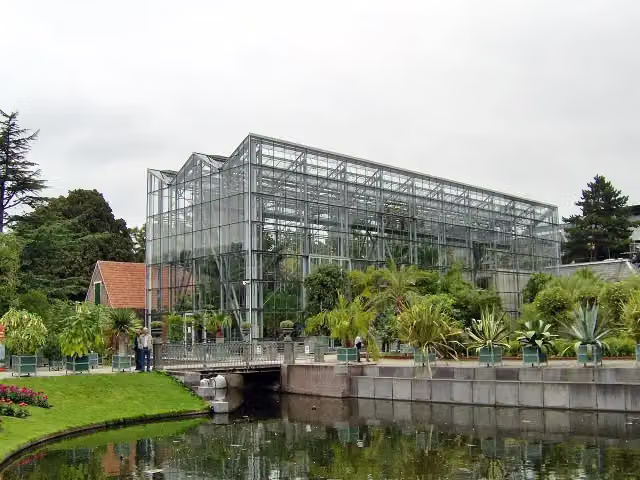 Hortus botanicus LeidenAttraction · 7.3 km from the route
- 18
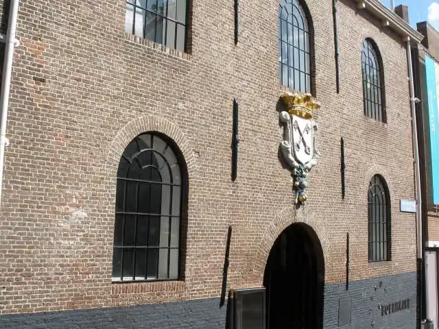 Rijksmuseum BoerhaaveMuseum · 7.3 km from the route
- 19
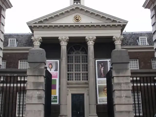 Stedelijk Museum SchiedamMuseum · 8.8 km from the route
- 20
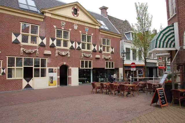 Vermeer CentrumMuseum · 8.2 km from the route
- 21
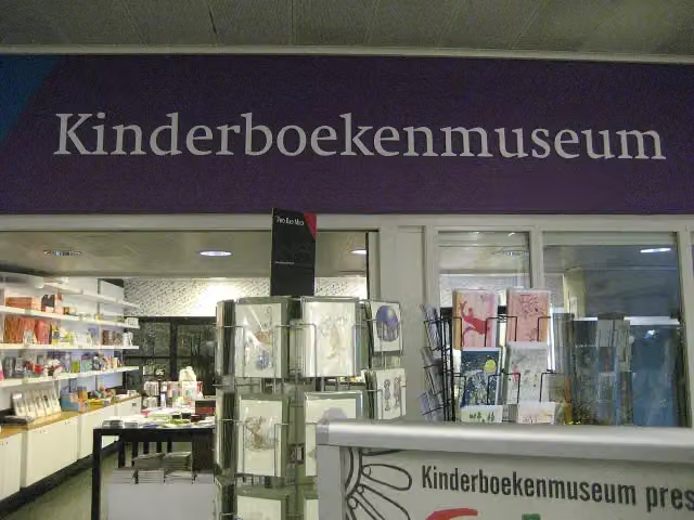 KinderboekenmuseumMuseum · 242 m from the route
- 22
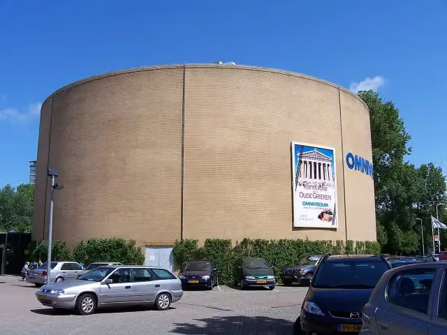 OmniversumAttraction · 793 m from the route
- 23
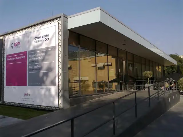 Fotomuseum Den HaagMuseum · 836 m from the route
- 24
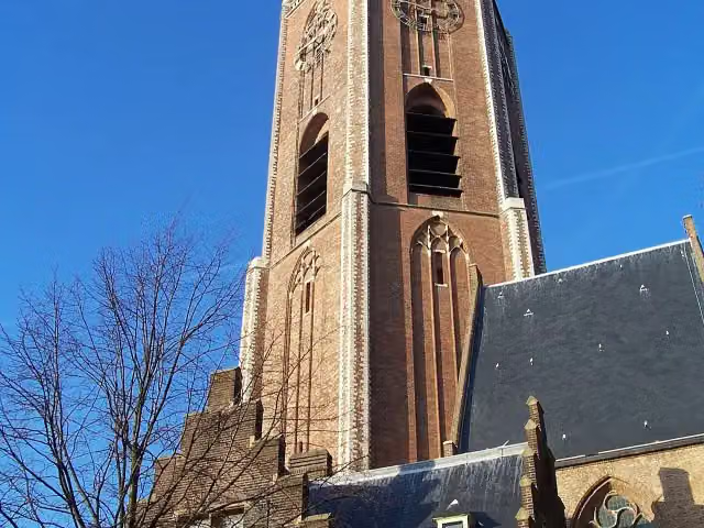 Grote of Sint-Jacobskerk (The Hague)Attraction · 367 m from the route
- 25
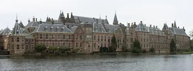 BinnenhofAttraction · 138 m from the route
Explore more
Frequently asked questions
How long is Noordzee Kustpad, Nederland?
Noordzee Kustpad, Nederland is 694.7 km long, split into several parts and stages.
Is this route a circular walk?
No, the route starts and ends at different spots.
Where does this route start?
The route starts in Sluis.
Are there toilets along this route?
Yes, there are 94 public toilets within 100 m of the route.
Can you fill up with water along this route?
Yes, there are 89 water fountains and refill points within 100 m of the route.
What is there to see along this route?
Along the way you pass MuZEEum, Keizersbolwerk and Bunkermuseum Bunker 2.
Starting point
More routes from this place
Route data © OpenStreetMap contributors





