 Outdoor Pitstop
Walking route · Rotterdam · Dutch Coastal Trail part 2 - Main route · Updated on 5 November 2026
Nederlands Kustpad deel 2 - Hoofdroute walk
Nederlands Kustpad deel 2 - Hoofdroute is a walk of 237.8 km from Rotterdam. Along the way you'll find 998 benches and picnic tables, 70 water fountains and refill points, 29 public toilets and 2 bike pumps.
i
i
The route step by step
From start to finish, with what you pass along the way and the distance in between.
- 237.8 km
- ± 4:10 h per stage
- ↑ 690 m · ↓ 676 m
- Moderate per stage
- From A to B
- National route
Start in Rotterdam
0 km1.1 km · 10 benches
Public toilet and water point
1.1 km268 m · 3 benches

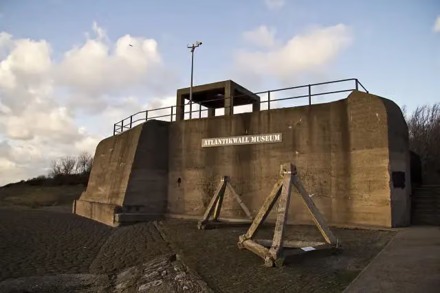
Atlantikwall-Museum
1.4 kmMuseum
1.5 km
Public toilet and water point
2.9 km5.3 km · 17 benches
Water point
8.2 km2.8 km · 4 benches
Public toilet
11 km410 m
Water point
11.4 km652 m · 9 benches
Public toilet and water point
12 km4.3 km · 5 benches
Public toilet
16.3 km880 m · 2 benches
Public toilet
17.2 km2.7 km · 41 benches
Water point
19.9 km1.2 km · 11 benches
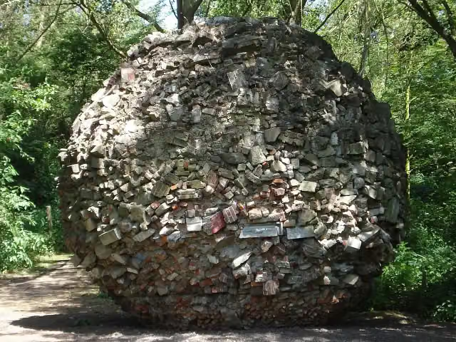
Monument van Puin
21.1 kmWater point
1.4 km · 6 benches
Public toilet and water point
22.5 km502 m · 6 benches
2 water fountains and refill points
23 km1.6 km · 11 benches
De Vulkaan
24.6 kmViewpoint
1 km · 11 benches
Water point
25.6 km3.8 km · 42 benches
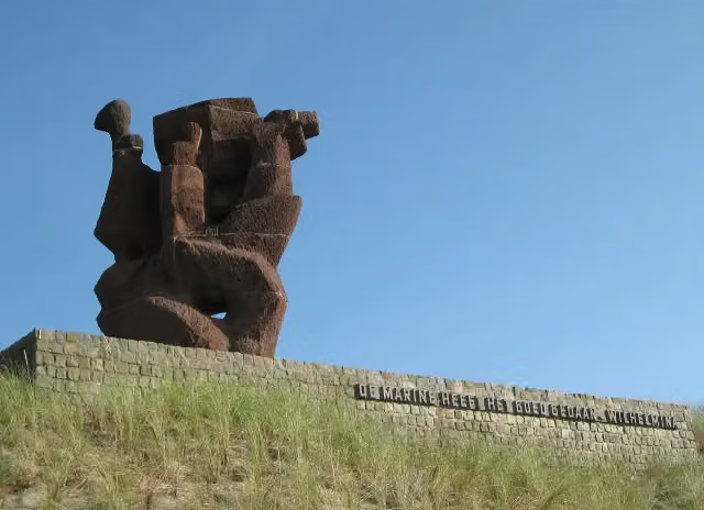
Nationaal Monument voor de Koninklijke Marine
29.4 kmWater point
198 m · 7 benches
Water point
29.6 km411 m · 30 benches
2 public toilets
30 km630 m · 43 benches
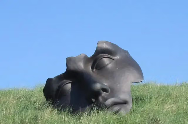
Museum Beelden aan Zee
30.7 kmMuseum · Audio story · 2 min
159 m · 3 benches
Public toilet
30.8 km243 m · bench
Memorial
193 m
Water point
31.3 km1.2 km · 2 benches
Water point
32.4 km560 m · 16 benches
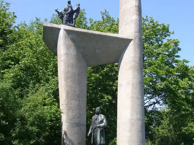
Troelstra Memorial
33 kmMonument
1.1 km · 14 benches
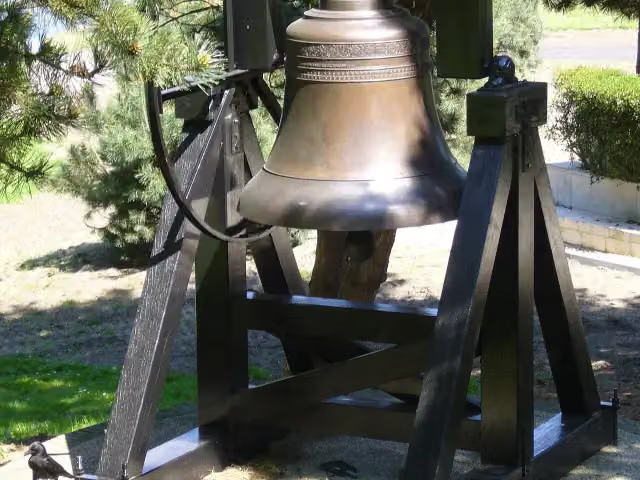
Indische klok and 1 more
34 kmIndisch monument
861 m · 18 benches
2 water fountains and refill points
34.9 km175 m · bench
Constantyn Huygens
35.1 kmAttraction
218 m · 5 benches
Van Karnebeekbron
35.3 kmMemorial
164 m · 7 benches
World Peace Flame and 1 more
35.5 km'Haags Verzets- en Bevrijdingsmonument'
Show the other 75 steps
218 m · 7 benches
Vrijmetselarij Museum
35.7 kmMuseum · Audio story · 2 min
161 m · 4 benches
Beeld en Geluid Den Haag
35.8 kmMuseum · Audio story · 2 min
305 m · 7 benches
Nationaal Onafhankelijkheidsmonument and 1 more
36.1 kmMuseum Sophiahof
957 m · 10 benches
Escher in Het Paleis and 1 more
37.1 kmHertog Karel Bernhard van Saksen Weimar Eisenach
429 m · 30 benches
Grondwetsherziening van 1848 and 1 more
37.5 kmJohan van Oldenbarnevelt
171 m · 7 benches
Galerij Prins Willem V and 1 more
37.7 kmJohan de Witt
193 m · 7 benches
Museum Bredius and 3 more
37.9 kmMauritshuis, Haags Historisch Museum and Thorbecke-monument
252 m · 5 benches
Koninklijke Schouwburg
38.2 kmCastle · Audio story · 2 min
370 m · 16 benches
Internationaal Homomonument and 1 more
38.5 kmPrins Maurits en de burgers van Den Haag
4.3 km · 68 benches
Water point
42.8 km537 m · 15 benches
Water point
43.4 km1.3 km · 2 benches
Water point
44.7 km166 m
Water point
44.8 km659 m · 3 benches
Fusillade- en herdenkingsterrein Waalsdorpervlakte and 1 more
45.5 kmBourdonklok
206 m
Represaillekruis
45.7 kmMemorial
2.5 km · 9 benches
Water point
48.1 km6 km · 16 benches
Water point
54.2 km5.4 km · 10 benches
4 water fountains and refill points
59.5 km234 m · 4 benches
Water point
59.8 km211 m · 4 benches
Water point
60 km199 m · 2 benches
Water point
60.2 km187 m · 2 benches
Freedom Forward
60.4 kmWater point
398 m · 9 benches
2 public toilets and 3 water fountains and refill points
60.8 km166 m · 5 benches
Public toilet and 3 water fountains and refill points
60.9 km254 m · 8 benches
Public toilet and 2 water fountains and refill points
61.2 km201 m · 6 benches
2 water fountains and refill points
61.4 km294 m · 7 benches
Water point
61.7 km572 m · 6 benches
Water point
62.3 km2.7 km · 4 benches
Water point
1.6 km · 19 benches
2 water fountains and refill points
66.6 km280 m · 6 benches
Wilhelmina
66.8 kmWater point
324 m
2 water fountains and refill points
67.2 km639 m · 5 benches
Water point
67.8 km209 m
AtlantikWall Museum
68 kmMuseum
7.9 km · 18 benches
Public toilet and water point
75.9 km10.2 km · 12 benches
Water point
86.2 km2.1 km · 3 benches
Water point
88.3 km275 m
2 public toilets and water point
88.6 km4 km · 7 benches
Water point
92.6 km435 m · 2 benches
Public toilet
93 km4 km · 8 benches
Water point
97 km2.8 km · 17 benches
Public toilet
99.8 km291 m
Vredestempel and 1 more
100.1 kmStadhuis Haarlem
190 m
Corrie ten Boom Museum and 2 more
100.3 kmFrans Hals Museum Hal and Archeologisch Museum Haarlem
159 m · 3 benches
Hoofdwacht and 1 more
100.4 kmGrote of St. Bavokerk and public toilet
155 m
Public toilet
100.6 km178 m
De Waag and 1 more
100.8 kmTeylers Museum
216 m · 3 benches
Bakenesserkerk
101 kmAttraction · Audio story · 2 min
188 m · 4 benches
Waalse Kerk
101.2 kmPublic toilet
169 m · bench
Janskerk
101.3 kmAttraction · Audio story · 2 min
296 m
Hofje van Oorschot and 1 more
101.6 kmHuis Barnaart
400 m · 4 benches
2 public toilets, 2 water fountains and refill points and 2 bike pumps
102 km2.6 km · 50 benches
Water point
104.6 km1 km · 7 benches
Water point
105.7 km564 m
2 water fountains and refill points
106.2 km1.5 km · 4 benches
gedenksteen 21 verzetslieden
107.7 kmMemorial
3.7 km · 11 benches
Water point
111.4 km201 m
Public toilet
111.6 km10.7 km · 29 benches
Beeckestijn
122.2 kmMuseum
3 km · 13 benches
Water point
125.2 km3.4 km · 14 benches
Museum Kennemerland
128.6 kmMuseum
5.2 km · 2 benches
Water point
133.8 km5.4 km · 14 benches
Uitkijktoren Kruisberg
139.3 kmObservation tower
6.3 km · 11 benches
Water point
145.6 km8.8 km · 20 benches
Public toilet
154.4 km533 m · 19 benches
Jaepie
154.9 kmWater point
21.4 km · 66 benches
Water point
176.3 km195 m
Public toilet
176.5 km4.6 km
Public toilet
181.1 km1.2 km · 6 benches
Panoramaduin
182.4 kmViewpoint
8.4 km · 2 benches
2 water fountains and refill points
190.8 km2.3 km · 5 benches
Public toilet
193.1 km34.1 km · 6 benches
Wieringer Eilandmuseum Jan Lont
227.2 kmMuseum
4.7 km · 7 benches
Observation tower
231.8 kmObservation tower
6 km
Finish
237.8 kmAt the finish: Vlietermonument.
Longest stretch without a toilet: 44.8 kmBetween 193.1 km and 237.8 km there is no public toilet within 100 m of the route.
The route with the water points, toilets and sights within 100 m of it.
60 sights along the way
In the order you pass them. With the Outdoor Pitstop app you hear their story on the spot. 52 more along the route are on the map.
- Story
i
Photo: Luke Price from Rotterdam, Netherlands · Wikimedia Commons · CC BY 2.0View the photo on Wikimedia CommonsAtlantikwall-Museum
Museum · after 1.4 km
- Story
Monument van Puin
Memorial · after 21.2 km

Viewpoint · after 24.6 km
i
Photo: Ilonamay · Wikimedia Commons · CC BY-SA 3.0View the photo on Wikimedia CommonsMemorial · after 29.4 km
 Audio story · 2 min
i
Photo: Ellywa at Dutch Wikipedia · Wikimedia Commons · CC BY-SA 3.0View the photo on Wikimedia CommonsMuseum Beelden aan Zee
Museum · after 30.7 km
Oorlogsmonument 'Leger en Vloot'
Memorial · after 31.1 km
i
Photo: Pvt pauline · Wikimedia Commons · CC BY-SA 3.0View the photo on Wikimedia CommonsMonument · after 33 km
i
Photo: P.L.van Till at nl.wikipedia · Wikimedia Commons · CC BY-SA 3.0View the photo on Wikimedia CommonsMemorial · after 34 km
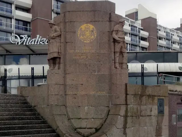
Stages (13)
- 1Nederlands Kustpad deel 2 - 1Dutch Coastal Trail part 2 - 119.3 km
- 2Nederlands Kustpad deel 2 - 2Dutch Coastal Trail part 2 - 218.4 km
- 3Nederlands Kustpad deel 2 - 3Dutch Coastal Trail part 2 - 323.1 km
- 4Nederlands Kustpad deel 2 - 4Dutch Coastal Trail part 2 - 419.9 km
- 5Nederlands Kustpad deel 2 - 5Dutch Coastal Trail part 2 - 521.4 km
- 6Nederlands Kustpad deel 2 - 6Dutch Coastal Trail part 2 - 617.7 km
- 7Nederlands Kustpad deel 2 - 7Dutch Coastal Trail part 2 - 714.5 km
- 8Nederlands Kustpad deel 2 - 8Dutch Coastal Trail part 2 - 820.5 km
- 9Nederlands Kustpad deel 2 - 9Dutch Coastal Trail part 2 - 919.8 km
- 10Nederlands Kustpad deel 2 - 10Dutch Coastal Trail part 2 - 1016.2 km
- 11Nederlands Kustpad deel 2 - 11Dutch Coastal Trail part 2 - 1115.6 km
- 12Nederlands Kustpad deel 2 - 12Dutch Coastal Trail part 2 - 1216.3 km
- 13Nederlands Kustpad deel 2 - 13Dutch Coastal Trail part 2 - 1315.1 km
Elevation and terrain
- Up
- ↑ 690 m
- Down
- ↓ 676 m
- Highest point
- 48 m
- Lowest point
- -2 m
- 5-10% slope · 1.4 km
- 22 stairs
Elevation from AHN (Rijkswaterstaat), smoothed.
Way types
237.8 km in total- Footpath: 72.7 km
- Path: 63.3 km
- Cycleway: 37.2 km
- Road: 26.2 km
- Track: 18.3 km
- Street: 15.5 km
- Stairs: 22 stairs
- Busy road: 525 m
- Unknown: 1.7 km
Surfaces
237.8 km in total- Natural: 41.4 km
- Gravel: 36.1 km
- Paved: 35.2 km
- Asphalt: 33.8 km
- Unpaved: 17.9 km
- Unknown: 72.3 km
About the walking route Nederlands Kustpad deel 2 - Hoofdroute
Updated on 5 November 2026, with data from OpenStreetMap and the AHN.
Where do you walk?
Nederlands Kustpad deel 2 - Hoofdroute is a walking route of 237.8 km that starts in Rotterdam. It does not end where it starts. You start in Hoek van Holland and finish in Afsluitdijk. Along the way you pass Atlantikwall-Museum (after 1.4 km), Monument van Puin (after 21.2 km) and De Vulkaan (after 24.6 km).
How hard is the route?
You climb 690 m in total and descend 676 m. There are 22 flights of steps along the way. Allow ± 4:10 h per stage, without breaks. Per stage the level is moderate.
What paths do you walk on?
The longest part is footpath (72.7 km), path (63.3 km) and cycleway (37.2 km). Of the surface, 41.4 km natural and 36.1 km gravel. For 72.3 km the surface is not known.
Pitstops along the way
Within 100 metres of the route there are 998 benches and picnic tables, 70 water fountains and refill points, 29 public toilets and 2 bike pumps. The longest stretch without a toilet is 44.8 km. The Outdoor Pitstop app navigates you there.
Part of Noordzee Kustpad, Nederland (North Sea Trail, The Netherlands)
Website of the routeWalks nearby
6- Nederlands Kustpad deel 1 - 11Moderate · From A to B14.3 km
- GR 5 NL - 1 - Hoek van Holland-Maassluis OranjeplassenModerate · From A to B14.7 km
- Grote Rivierenpad - 1Hard · From A to B23.5 km
- European long distance path E8 - part NetherlandsEasy · From A to B8.8 km
- VoornepadHard · From A to B91.6 km
- Nederlands Kustpad deel 1 - 9Hard · From A to B20.8 km
Sights nearby
Within 10 km of the route, best known first.
- 1
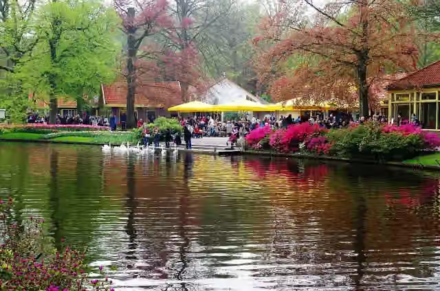 KeukenhofAttraction · 4.2 km from the route
- 2
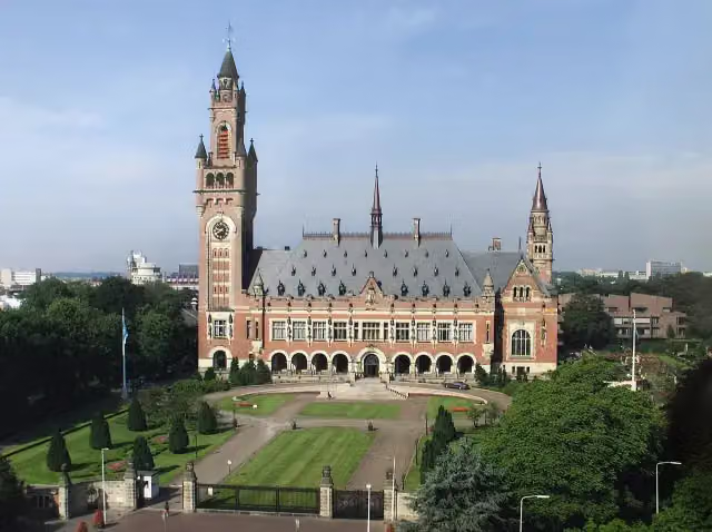 Peace PalaceAttraction · 200 m from the route
- 3
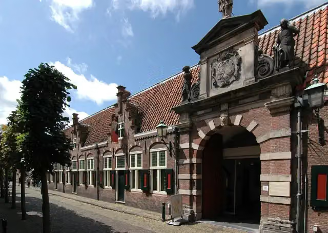 Frans Hals MuseumMuseum · 512 m from the route
- 4
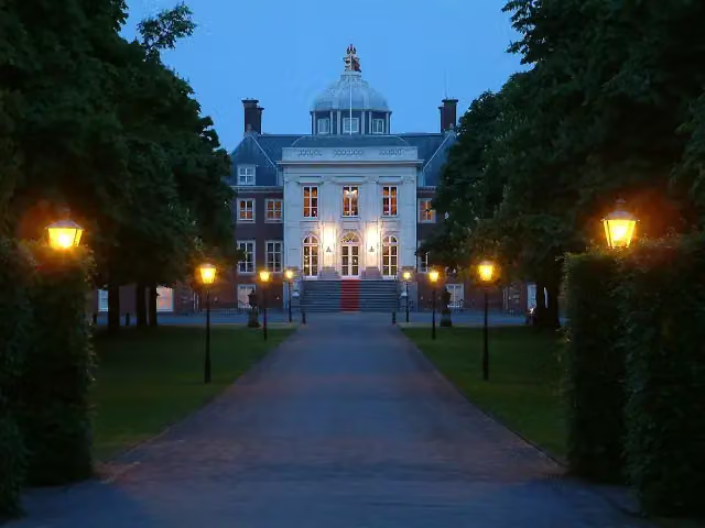 Huis ten BoschCastle · 207 m from the route
- 5
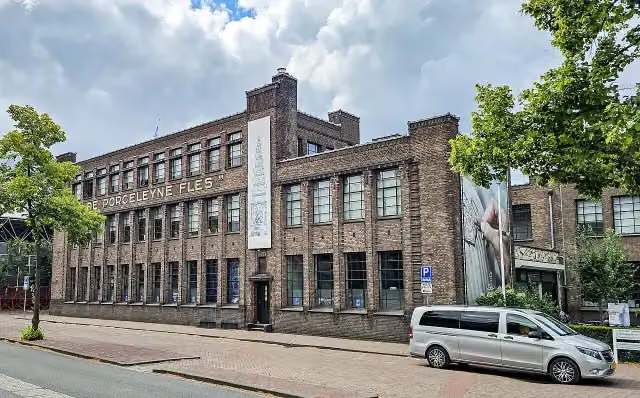 Royal DelftMuseum · 9.5 km from the route
- 6
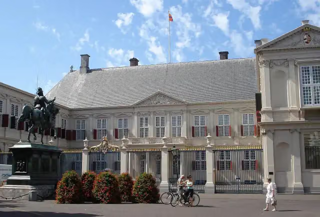 Paleis NoordeindeCastle · 186 m from the route
- 7
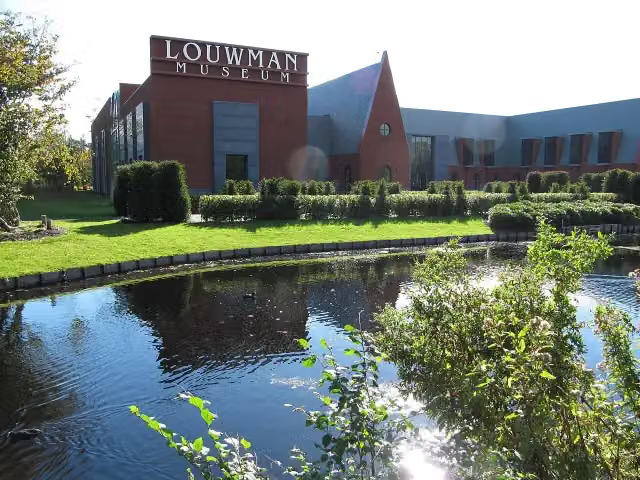 Louwman MuseumMuseum · 249 m from the route
- 8
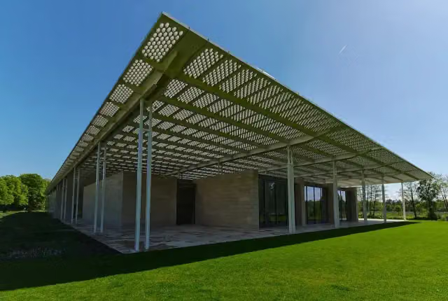 Museum VoorlindenMuseum · 419 m from the route
- 9
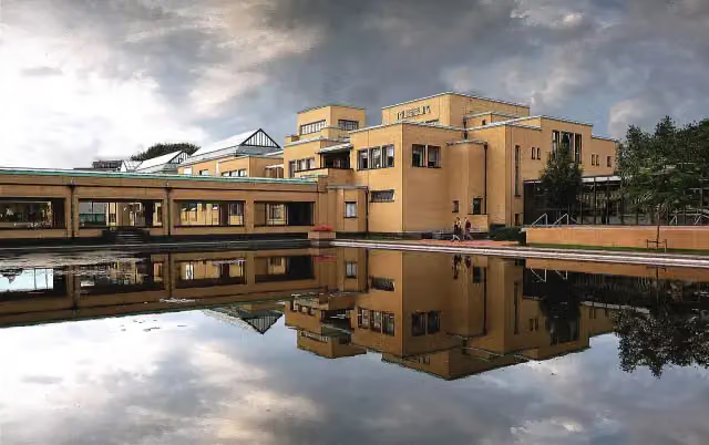 Kunstmuseum Den HaagMuseum · 860 m from the route
- 10
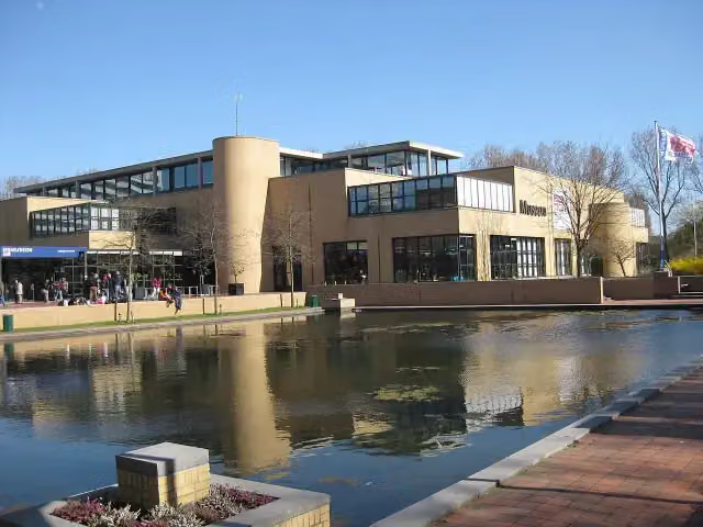 Museon-OmniversumMuseum · 877 m from the route
- 11
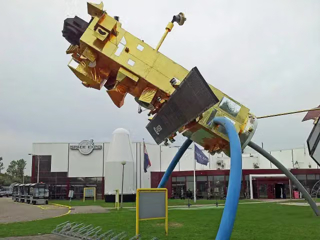 Space ExpoMuseum · 877 m from the route
- 12
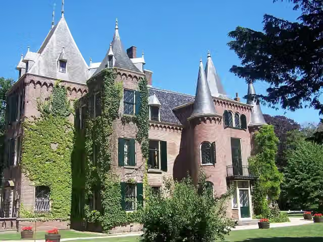 Kasteel KeukenhofCastle · 4.2 km from the route
- 13
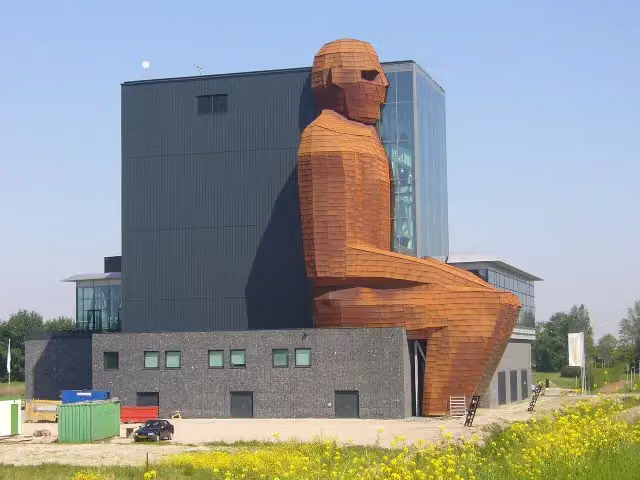 CorpusMuseum · 4.7 km from the route
- 14
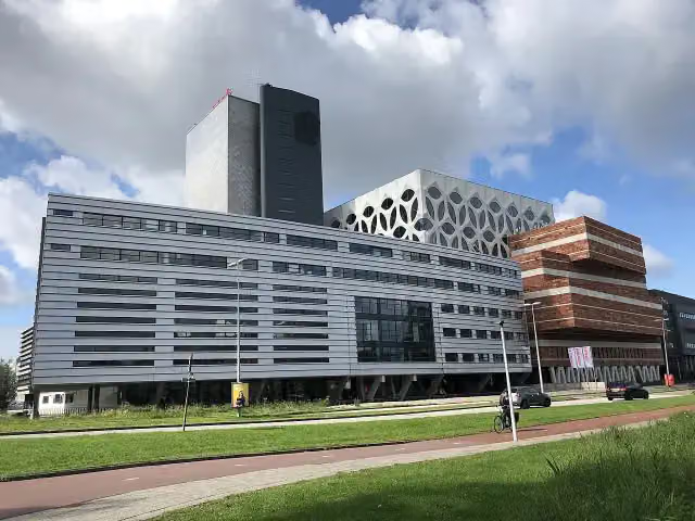 Naturalis Biodiversity CentreMuseum · 6.2 km from the route
- 15
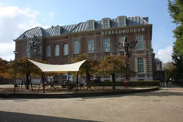 Wereldmuseum LeidenMuseum · 6.9 km from the route
- 16
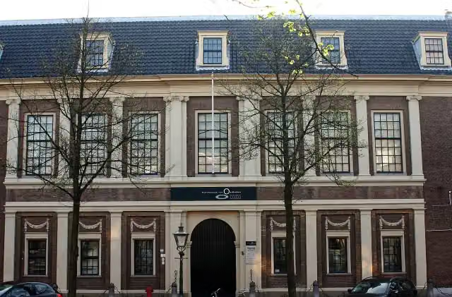 Rijksmuseum van OudhedenMuseum · 7.3 km from the route
- 17
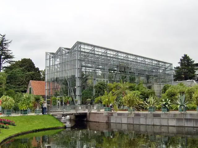 Hortus botanicus LeidenAttraction · 7.3 km from the route
- 18
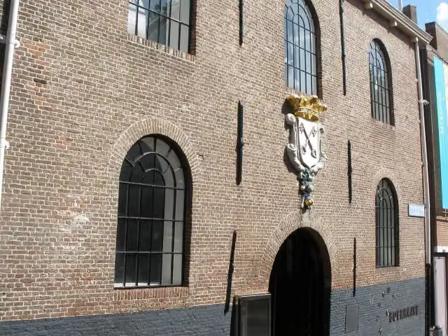 Rijksmuseum BoerhaaveMuseum · 7.3 km from the route
- 19
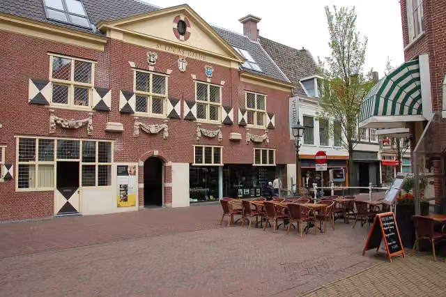 Vermeer CentrumMuseum · 8.2 km from the route
- 20
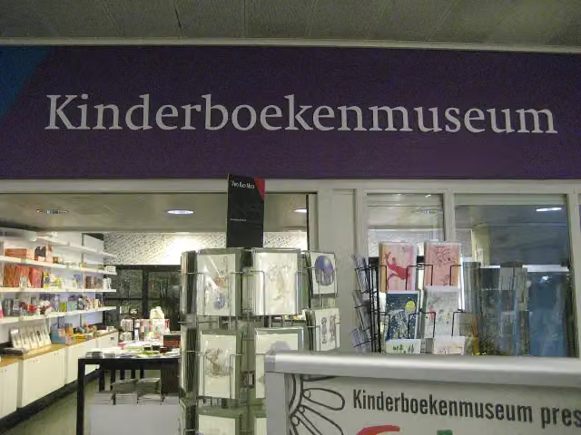 KinderboekenmuseumMuseum · 242 m from the route
- 21
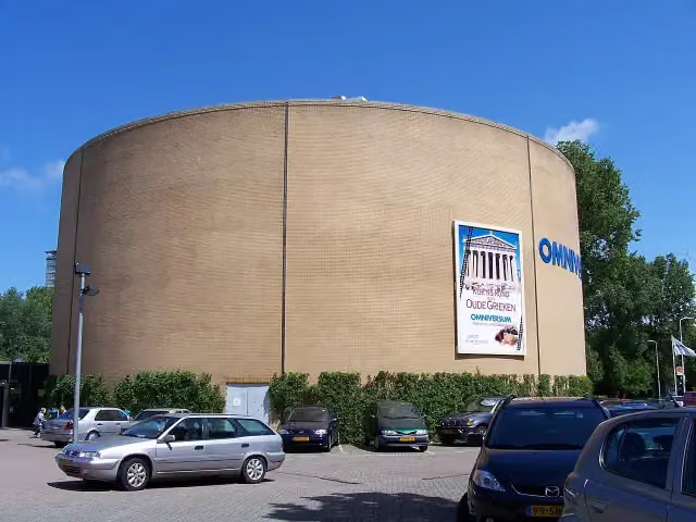 OmniversumAttraction · 793 m from the route
- 22
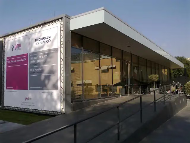 Fotomuseum Den HaagMuseum · 836 m from the route
- 23
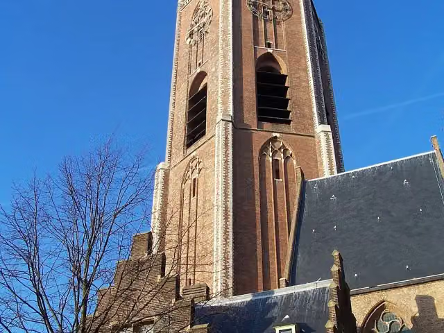 Grote of Sint-Jacobskerk (The Hague)Attraction · 367 m from the route
- 24
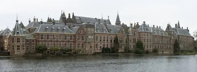 BinnenhofAttraction · 138 m from the route
- 25
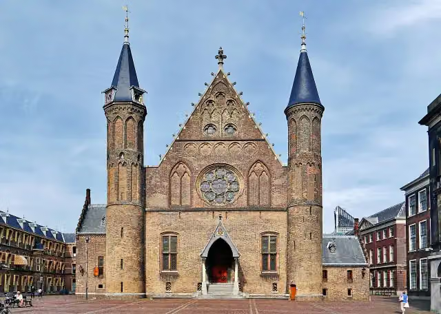 RidderzaalAttraction · 150 m from the route
Explore more
Frequently asked questions
How long is Nederlands Kustpad deel 2 - Hoofdroute?
Nederlands Kustpad deel 2 - Hoofdroute is 237.8 km long, in 13 stages of 18.3 km on average. Allow ± 4:10 h per stage of walking: 4.5 km an hour and 10 minutes more per 100 metres of climbing, without breaks.
Is this route a circular walk?
No, the route runs from Hoek van Holland to Afsluitdijk.
Where does this route start?
The route starts in Rotterdam.
How hard is this route?
Moderate per stage, with 53 m per stage of climbing.
Are there toilets along this route?
Yes, there are 29 public toilets within 100 m of the route. The longest stretch without a toilet is 44.8 km.
Can you fill up with water along this route?
Yes, there are 70 water fountains and refill points within 100 m of the route.
What is there to see along this route?
Along the way you pass Atlantikwall-Museum, Monument van Puin and De Vulkaan.
Starting point
More routes from this place
Route data © OpenStreetMap contributors





