 Outdoor Pitstop
Walking route · The Hague · Dutch Coastal Trail part 2 - 3 · Updated on 6 November 2026
Nederlands Kustpad deel 2 - 3 walk
Nederlands Kustpad deel 2 - 3 is a walk of 23.1 km from The Hague. Along the way you'll find 172 benches and picnic tables, 15 water fountains and refill points and 1 public toilet.
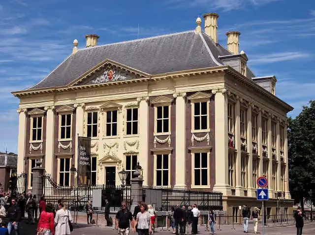
i
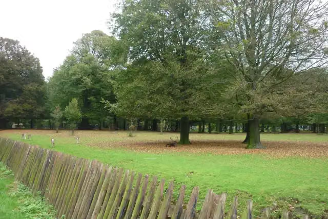
i
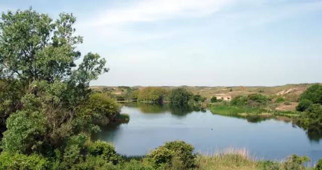
i
The route step by step
From start to finish, with what you pass along the way and the distance in between.
- 23.1 km
- ± 5:15 h
- ↑ 63 m · ↓ 55 m
- Hard
- From A to B
- National route
- Colour of the signs
Start in The Hague
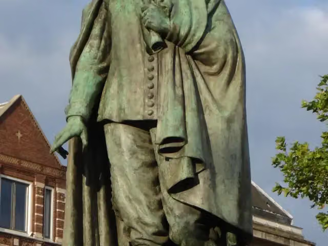
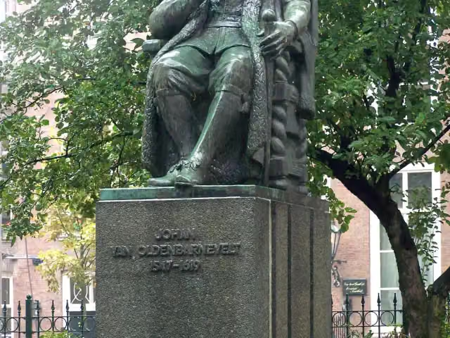
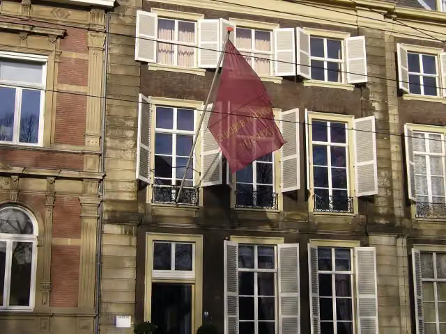
0 kmAt the start: Galerij Prins Willem V, Johan de Witt and Johan van Oldenbarnevelt.
193 m · 7 benches

Museum Bredius and 3 more
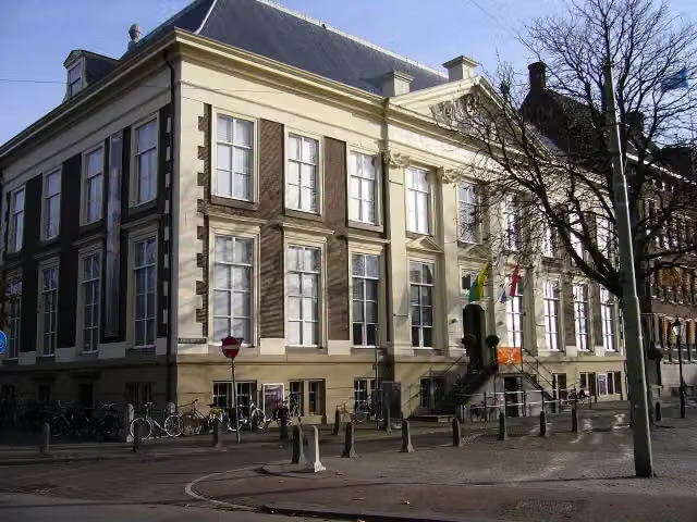
193 mMauritshuis, Haags Historisch Museum and Thorbecke-monument
222 m · 5 benches
Hertog Karel Bernhard van Saksen Weimar Eisenach and 1 more
415 mKoninklijke Schouwburg
400 m · 16 benches
Internationaal Homomonument and 1 more
815 mPrins Maurits en de burgers van Den Haag
4.3 km · 68 benches
Water point
5.1 km537 m · 15 benches
Water point
5.6 km1.3 km · 2 benches
Water point
6.9 km166 m
Water point
7.1 km659 m · 3 benches
Fusillade- en herdenkingsterrein Waalsdorpervlakte and 1 more
7.8 kmBourdonklok
206 m
Represaillekruis
8 kmMemorial
2.5 km · 9 benches
Water point
10.4 km6 km · 16 benches
Water point
16.5 km5.4 km · 10 benches
4 water fountains and refill points
21.8 km234 m · 4 benches
Water point
22.1 km211 m · 4 benches
Water point
22.3 km199 m · 2 benches
Water point
22.5 km187 m · 2 benches
Freedom Forward
22.7 kmWater point
398 m · 8 benches
Finish
23.1 kmAt the finish: public toilet and water point.
Longest stretch without a toilet: 23.1 kmBetween 0 km and 23.1 km there is no public toilet within 100 m of the route.
The route with the pitstops and sights within 100 m of it.
15 sights along the way
In the order you pass them. With the Outdoor Pitstop app you hear their story on the spot. 7 more along the route are on the map.
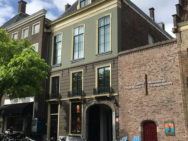 Audio story · 2 min
i
Photo: OSeveno · Wikimedia Commons · CC BY-SA 3.0View the photo on Wikimedia CommonsGalerij Prins Willem V
Museum · after 0 m
 Story
Johan de Witt
Memorial · after 0 m
i
Photo: Wikimedia Commons · Wikimedia Commons · CC BY-SA 3.0View the photo on Wikimedia CommonsMemorial · after 101 m
 Audio story · 2 min
i
Photo: Pvt pauline · Wikimedia Commons · CC BY-SA 3.0View the photo on Wikimedia CommonsMuseum Bredius
Museum · after 193 m
- Audio story · 2 min
i
Photo: Roman Boed from The Netherlands · Wikimedia Commons · CC BY 2.0View the photo on Wikimedia CommonsMauritshuis
Castle · after 253 m
 Audio story · 2 min
i
Photo: Pvt pauline · Wikimedia Commons · CC BY 3.0View the photo on Wikimedia CommonsHaags Historisch Museum
Museum · after 273 m
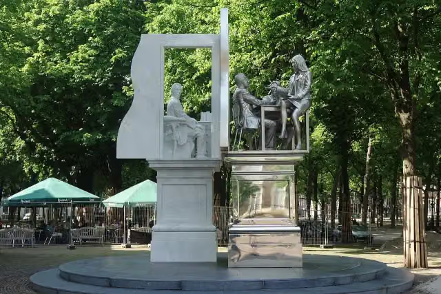
i
Photo: Vysotsky · Wikimedia Commons · CC BY-SA 4.0View the photo on Wikimedia CommonsMemorial · after 335 m
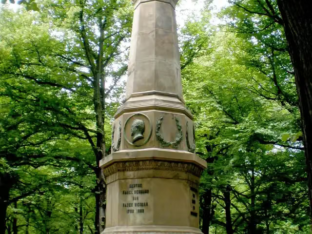
i
Photo: Brbbl · Wikimedia Commons · CC BY-SA 3.0View the photo on Wikimedia CommonsMemorial · after 415 m
Elevation and terrain
- Up
- ↑ 63 m
- Down
- ↓ 55 m
- Highest point
- 21 m
- Lowest point
- -0 m
- 1 flight of stairs
Elevation from AHN (Rijkswaterstaat), smoothed.
Way types
23.1 km in total- Footpath: 15.9 km
- Cycleway: 3.2 km
- Path: 2.1 km
- Street: 1.1 km
- Road: 450 m
- Track: 175 m
- Stairs: 1 flight of stairs
Surfaces
23.1 km in total- Gravel: 10.5 km
- Natural: 2.8 km
- Asphalt: 2.1 km
- Paved: 1.7 km
- Unpaved: 1.2 km
- Unknown: 4.6 km
About the walking route Nederlands Kustpad deel 2 - 3
Updated on 6 November 2026, with data from OpenStreetMap and the AHN.
Where do you walk?
Nederlands Kustpad deel 2 - 3 is a walking route of 23.1 km that starts in The Hague. It does not end where it starts. You start in Den Haag Binnenhof and finish in Katwijk aan Zee. Along the way you pass Galerij Prins Willem V (after 0 m), Johan de Witt (after 0 m) and Johan van Oldenbarnevelt (after 101 m).
How hard is the route?
You climb 63 m in total and descend 55 m. There is 1 flight of steps along the way. Allow ± 5:15 h, without breaks. The level is hard.
What paths do you walk on?
The longest part is footpath (15.9 km), cycleway (3.2 km) and path (2.1 km). Of the surface, 10.5 km gravel and 2.8 km natural. For 4.6 km the surface is not known.
Pitstops along the way
Within 100 metres of the route there are 172 benches and picnic tables, 15 water fountains and refill points and 1 public toilet. The longest stretch without a toilet is 23.1 km. The Outdoor Pitstop app navigates you there.
Part of Nederlands Kustpad deel 2 - Hoofdroute (Dutch Coastal Trail part 2 - Main route)
Website of the routeWalks nearby
6- Marskramerpad - 20Moderate · From A to B19.7 km
- Nederlands Kustpad deel 2 - 2Moderate · From A to B18.4 km
- Koninklijke WegHard · From A to B178.1 km
- Monumentale bomen- en hofjesrouteEasy · From A to B4.6 km
- NS-wandeling MeijendelModerate · From A to B13.4 km
- Gele wandelroute ClingendaelEasy · Circular walk3.7 km
Sights nearby
Within 10 km of the route, best known first.
- 1
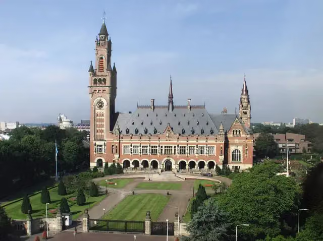 Peace PalaceAttraction · 1.3 km from the route
- 2
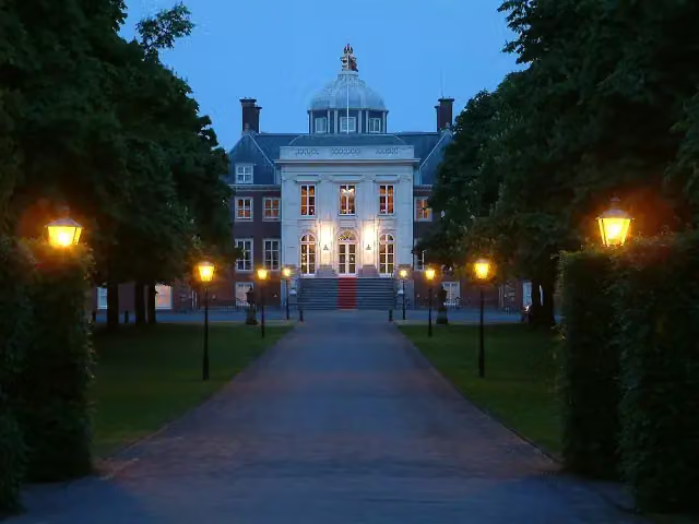 Huis ten BoschCastle · 207 m from the route
- 3
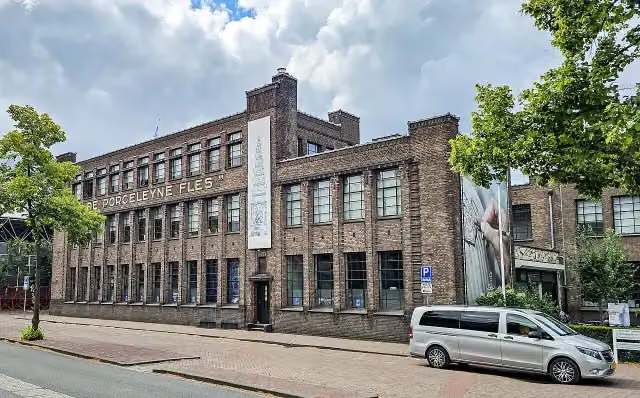 Royal DelftMuseum · 9.5 km from the route
- 4
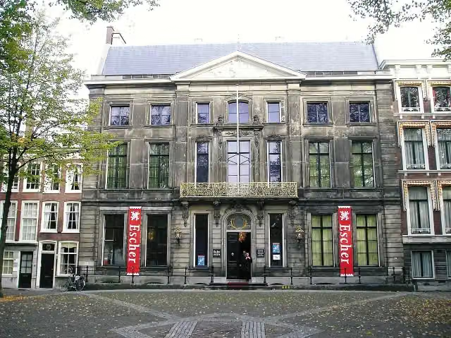 Escher in Het PaleisMuseum · 167 m from the route
- 5
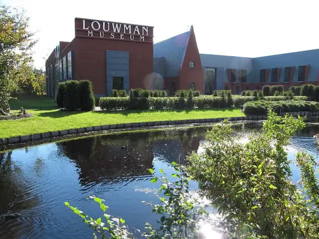 Louwman MuseumMuseum · 249 m from the route
- 6
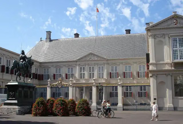 Paleis NoordeindeCastle · 291 m from the route
- 7
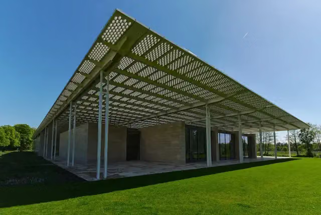 Museum VoorlindenMuseum · 419 m from the route
- 8
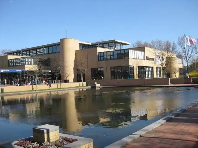 Museon-OmniversumMuseum · 2.2 km from the route
- 9
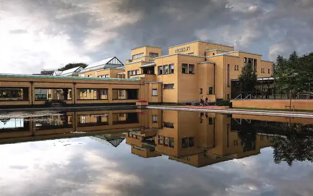 Kunstmuseum Den HaagMuseum · 2.3 km from the route
- 10
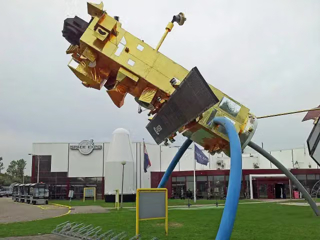 Space ExpoMuseum · 2.5 km from the route
- 11
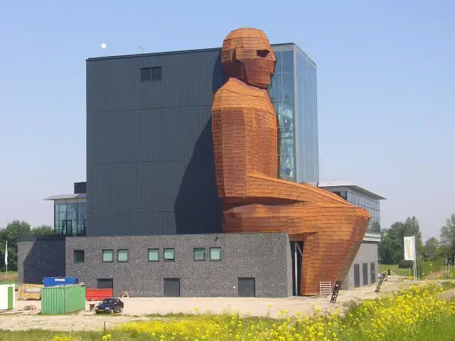 CorpusMuseum · 4.7 km from the route
- 12
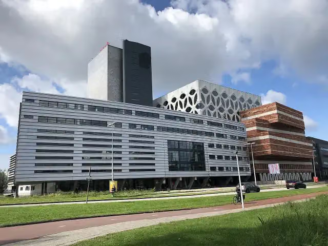 Naturalis Biodiversity CentreMuseum · 6.2 km from the route
- 13
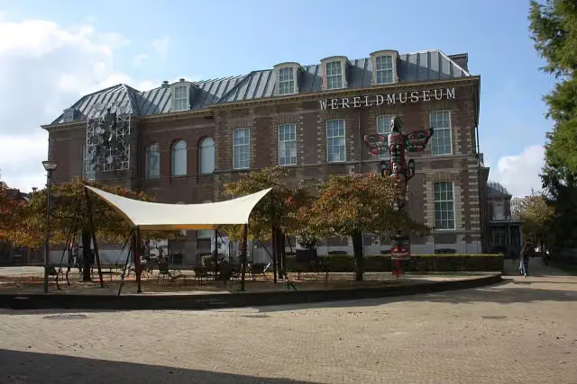 Wereldmuseum LeidenMuseum · 6.9 km from the route
- 14
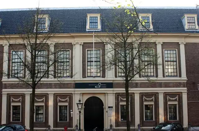 Rijksmuseum van OudhedenMuseum · 7.3 km from the route
- 15
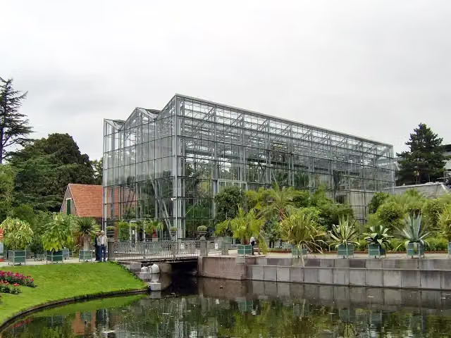 Hortus botanicus LeidenAttraction · 7.3 km from the route
- 16
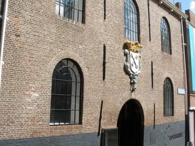 Rijksmuseum BoerhaaveMuseum · 7.3 km from the route
- 17
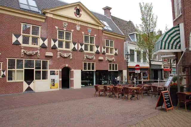 Vermeer CentrumMuseum · 8.2 km from the route
- 18
 KinderboekenmuseumMuseum · 242 m from the route
- 19
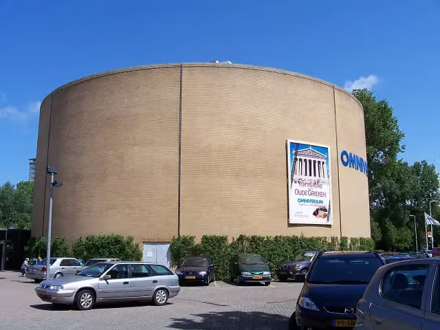 OmniversumAttraction · 2.2 km from the route
- 20
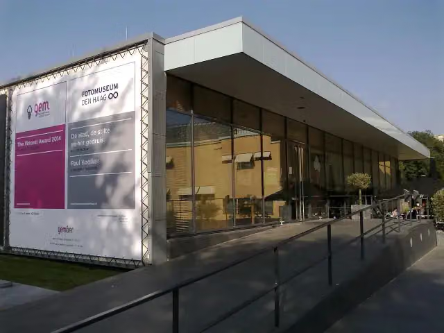 Fotomuseum Den HaagMuseum · 2.4 km from the route
- 21
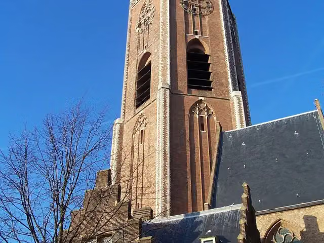 Grote of Sint-Jacobskerk (The Hague)Attraction · 367 m from the route
- 22
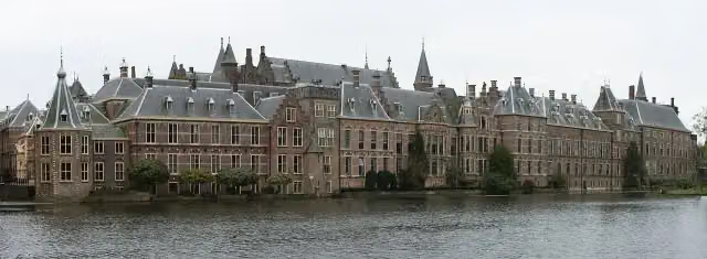 BinnenhofAttraction · 138 m from the route
- 23
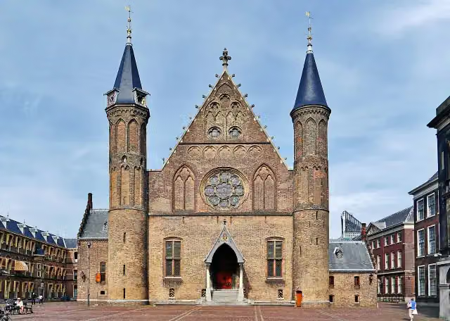 RidderzaalAttraction · 150 m from the route
- 24
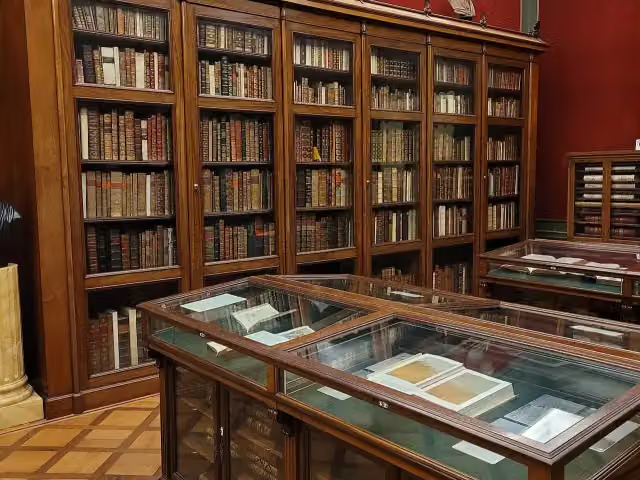 Huis van het boekMuseum · 258 m from the route
- 25
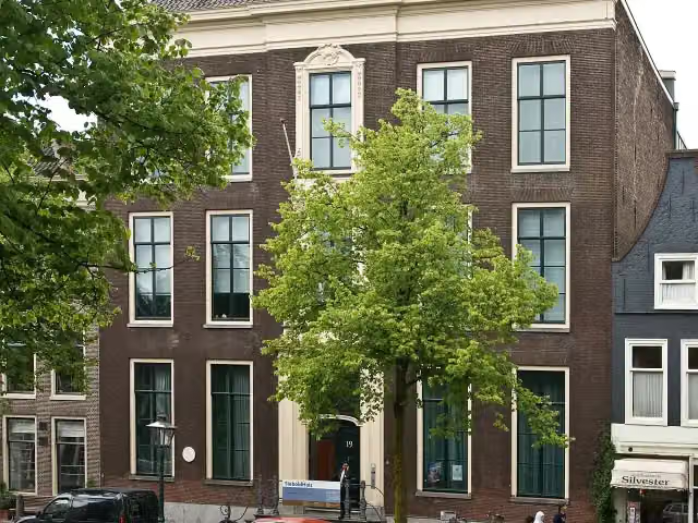 Japanmuseum SieboldHuisMuseum · 7.1 km from the route
Explore more
Frequently asked questions
How long is Nederlands Kustpad deel 2 - 3?
Nederlands Kustpad deel 2 - 3 is 23.1 km long. Allow ± 5:15 h of walking: 4.5 km an hour and 10 minutes more per 100 metres of climbing, without breaks.
Is this route a circular walk?
No, the route runs from Den Haag Binnenhof to Katwijk aan Zee.
Where does this route start?
The route starts in The Hague.
How hard is this route?
Hard, with 63 m of climbing.
Are there toilets along this route?
Yes, there are 1 public toilet within 100 m of the route. The longest stretch without a toilet is 23.1 km.
Can you fill up with water along this route?
Yes, there are 15 water fountains and refill points within 100 m of the route.
What is there to see along this route?
Along the way you pass Galerij Prins Willem V, Johan de Witt and Johan van Oldenbarnevelt.
Starting point
More routes from this place
Route data © OpenStreetMap contributors





