 Outdoor Pitstop
Walking guide Hollands Kroon · Updated on 5 November 2026
The best walks in Hollands Kroon
Hollands Kroon has 26 walks on the Outdoor Pitstop map. The 10 best are 21 km long on average. Along the way you find 66 benches and picnic tables, 3 water fountains and refill points and 6 public toilets in total.
i
i
i
The 10 best walks
In the order of our score: a photo, points of interest along the way, a toilet or water point, a circular walk, a description and how often people search for the route.
The best walking route in Hollands Kroon is Nederlands Kustpad Afsluitdijk met Bus transfer Oost-West (32.6 km, hard).
The numbers on the map are the routes below, at their starting point. Pitstops count up to 100 m from the route. Walking time assumes 4.5 km an hour plus 10 minutes per 100 m of ascent.
- 1
i
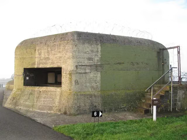
Photo: Michiel1972 · Wikimedia Commons · CC BY-SA 3.0View the photo on Wikimedia CommonsDutch Coastal Trail Afsluitdijk with bus transfer east-west
32.6 km · ± 7:15 h · ↗ 3 m · From A to B · start Súdwest-Fryslân
2 public toilets0 water fountains and refill points5 benches and picnic tables
- 2
i
Photo: Michiel1972 · Wikimedia Commons · CC BY-SA 3.0View the photo on Wikimedia CommonsDutch Coastal Trail Afsluitdijk with bus transfer west-east
32.3 km · ± 7:10 h · ↗ 3 m · From A to B · start Súdwest-Fryslân
2 public toilets0 water fountains and refill points4 benches and picnic tables
- 3
i
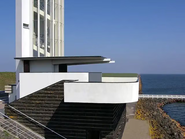
Photo: Johann H. Addicks / Btr · Wikimedia Commons · CC BY-SA 3.0View the photo on Wikimedia CommonsNederlands Kustpad deel 2 - 13
ModerateDutch Coastal Trail part 2 - 13
15.1 km · ± 3:25 h · ↗ 13 m · From A to B · start Hollands Kroon
0 public toilets0 water fountains and refill points9 benches and picnic tables
- 4
i
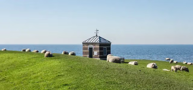
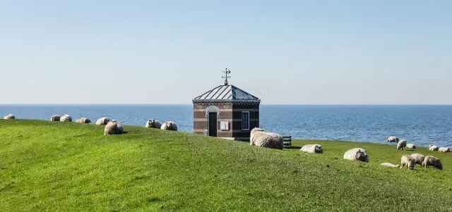
Photo: Dominicus Johannes Bergsma · Wikimedia Commons · CC BY-SA 4.0View the photo on Wikimedia CommonsZuiderzee Trail - 25
4.2 km · ± 55 min · From A to B · start Hollands Kroon
0 public toilets0 water fountains and refill points1 bench
- 5
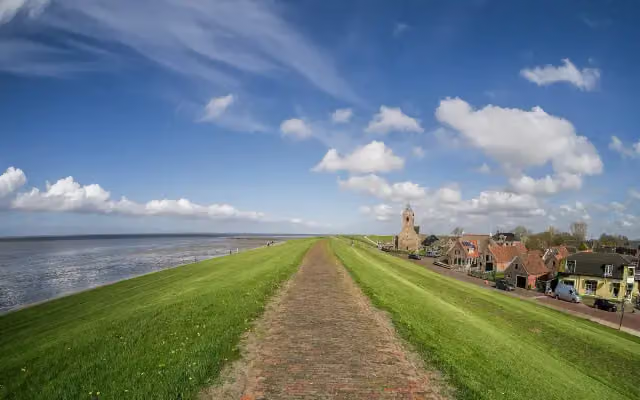
i
Photo: Uberprutser · Wikimedia Commons · CC BY-SA 4.0View the photo on Wikimedia CommonsNederlands Kustpad deel 2 - 11
ModerateDutch Coastal Trail part 2 - 11
15.6 km · ± 3:30 h · From A to B · start Schagen
1 public toilet1 water point7 benches and picnic tables
- 6
i
Photo: Michiel1972 · Wikimedia Commons · CC BY-SA 3.0View the photo on Wikimedia CommonsDutch Coastal Trail part 3, section 00
27.5 km · ± 6:10 h · ↗ 13 m · From A to B · start Hollands Kroon
0 public toilets0 water fountains and refill points2 benches and picnic tables
- 7
i
Photo: Dominicus Johannes Bergsma · Wikimedia Commons · CC BY-SA 4.0View the photo on Wikimedia CommonsZuiderzee Trail - 26
22.9 km · ± 5:05 h · ↗ 6 m · From A to B · start Hollands Kroon
1 public toilet0 water fountains and refill points13 benches and picnic tables
- 8
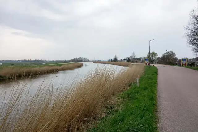
i
Photo: Dqfn13 · Wikimedia Commons · CC BY-SA 4.0View the photo on Wikimedia CommonsWest Frisian Ring Dyke - 4
22.2 km · ± 4:55 h · ↗ 20 m · From A to B · start Schagen
0 public toilets1 water point19 benches and picnic tables
- 9
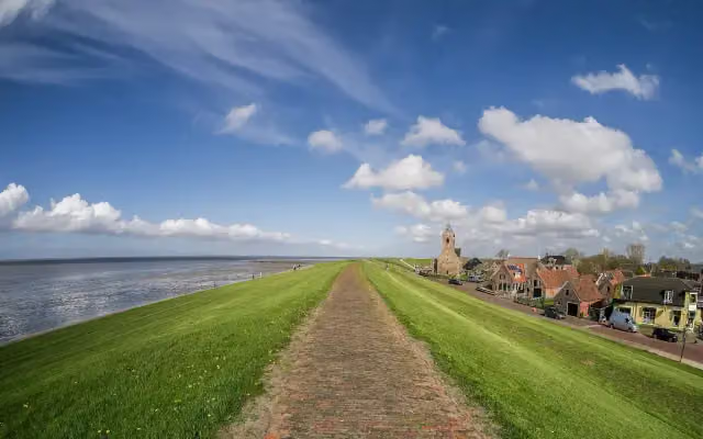
i
Photo: Uberprutser · Wikimedia Commons · CC BY-SA 4.0View the photo on Wikimedia CommonsNederlands Kustpad deel 2 - 12
ModerateDutch Coastal Trail part 2 - 12
16.3 km · ± 3:40 h · ↗ 6 m · From A to B · start Hollands Kroon
0 public toilets0 water fountains and refill points4 benches and picnic tables
- 10
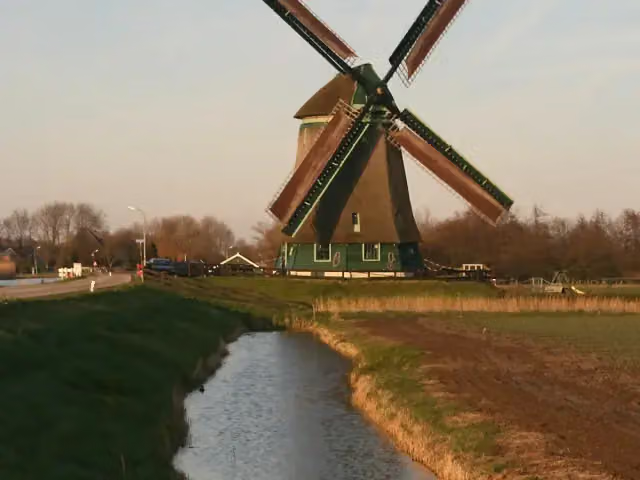
i
Photo: Quistnix at nl.wikipedia · Wikimedia Commons · CC BY-SA 2.5View the photo on Wikimedia CommonsNorth Holland Trail - 06
21.7 km · ± 4:50 h · From A to B · start Hollands Kroon
0 public toilets1 water point2 benches and picnic tables
All 10 walks from Hollands Kroon, A to Z
- Nederlands Kustpad deel 2 - 12 · Dutch Coastal Trail part 2 - 12
- Nederlands Kustpad deel 2 - 13 · Dutch Coastal Trail part 2 - 13
- Nederlands Kustpad deel 3 - Hoofdroute · Dutch Coastal Trail part 3 - Main route
- Nederlands Kustpad deel 3, sectie 00 · Dutch Coastal Trail part 3, section 00
- Noord-Hollandpad - 05 · North Holland Trail - 05
- Noord-Hollandpad - 06 · North Holland Trail - 06
- Westfriese Omringdijk - 5 · West Frisian Ring Dyke - 5
- Zuiderzeepad - 25 · Zuiderzee Trail - 25
- Zuiderzeepad - 26 · Zuiderzee Trail - 26
- Zuiderzeepad, Alternatieve route tijdens broedseizoen (15 maart - 15 juni) · Zuiderzee Trail, alternative route during breeding season (15 March - 15 June)
Long-distance paths through Hollands Kroon
Walks of several days, in stages.
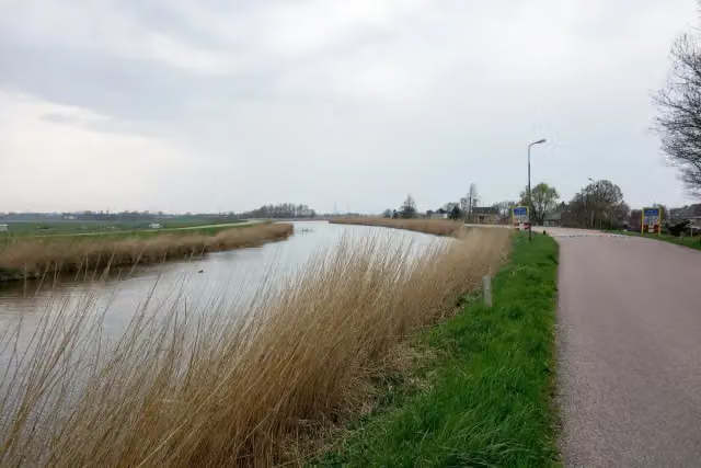
i
Photo: Dqfn13 · Wikimedia Commons · CC BY-SA 4.0View the photo on Wikimedia Commons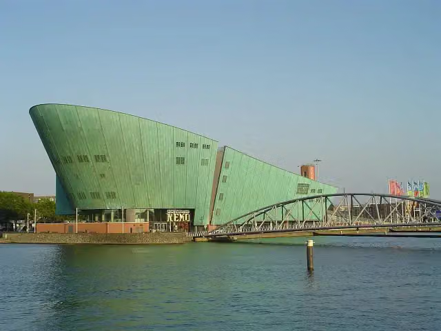
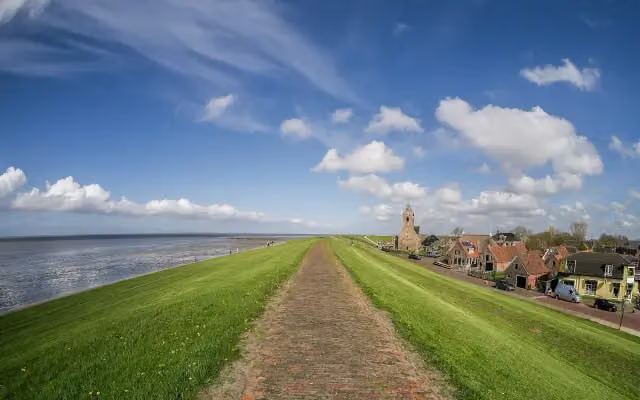
i
Photo: Uberprutser · Wikimedia Commons · CC BY-SA 4.0View the photo on Wikimedia Commons
i
Photo: Fransvannes · Wikimedia Commons · CC BY-SA 3.0View the photo on Wikimedia Commons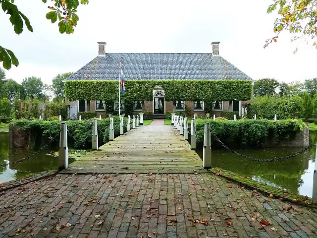
i
Photo: Hardscarf · Wikimedia Commons · CC BY-SA 3.0View the photo on Wikimedia Commons
i
Photo: Akbar Simonse from The Hague · Wikimedia Commons · CC BY-SA 2.0View the photo on Wikimedia Commons
Points of interest along the walks
Along the 10 best walks.
- Story
i
Photo: Johann H. Addicks / Btr · Wikimedia Commons · CC BY-SA 3.0View the photo on Wikimedia CommonsVlietermonument
Observation tower · along 4 walks
Kazemattenmuseum Kornwerderzand
Museum · along 3 walks
- Story
i
Photo: Quistnix at nl.wikipedia · Wikimedia Commons · CC BY-SA 2.5View the photo on Wikimedia CommonsObdammermolen
Museum · along 1 walk

Observation tower · along 4 walks
Museum · along 1 walk
Walks per place in North Holland
41 places have their own guide.
- Aalsmeer13 ›
- Alkmaar26 ›
- Amstelveen34 ›
- Amsterdam104 ›
- Bergen23 ›
- Beverwijk21 ›
- Blaricum20 ›
- Bloemendaal40 ›
- Castricum25 ›
- Den Helder6 ›
- Diemen24 ›
- Dijk en Waard11 ›
- Drechterland29 ›
- Edam-Volendam27 ›
- Enkhuizen14 ›
- Gooise Meren54 ›
- Haarlem27 ›
- Haarlemmermeer59 ›
- Heemskerk19 ›
- Heemstede13 ›
- Heiloo7 ›
- Hilversum51 ›
- Hoorn18 ›
- Huizen29 ›
- Koggenland22 ›
- Landsmeer12 ›
- Laren13 ›
- Medemblik42 ›
- Ouder-Amstel12 ›
- Purmerend25 ›
- Schagen26 ›
- Stede Broec21 ›
- Texel36 ›
- Uitgeest14 ›
- Uithoorn13 ›
- Velsen40 ›
- Waterland20 ›
- Wijdemeren38 ›
- Wormerland10 ›
- Zaanstad25 ›
- Zandvoort8 ›
Explore further
Frequently asked questions
How many walks are there in Hollands Kroon?
The Outdoor Pitstop map has 26 walks in Hollands Kroon, including 10 long-distance paths in stages.
What is the best walk in Hollands Kroon?
At the top of this guide is Nederlands Kustpad Afsluitdijk met Bus transfer Oost-West (32.6 km, hard). Next come Nederlands Kustpad Afsluitdijk met Bus transfer West-Oost and Nederlands Kustpad deel 2 - 13.
Which walks in Hollands Kroon have a toilet along the way?
In this guide, Nederlands Kustpad Afsluitdijk met Bus transfer Oost-West, Nederlands Kustpad Afsluitdijk met Bus transfer West-Oost and Nederlands Kustpad deel 2 - 11 have a public toilet along the route.
Which long-distance paths run through Hollands Kroon?
Among others Streekpad Westfriese Omringdijk, Zuiderzeepad - Hoofdroute, Nederlands Kustpad - Alle varianten and Groot Frieslandpad run through this area.
Popular nearby
Guides of places nearby





