 Outdoor Pitstop
Walking route · Veere · Dutch Coastal Trail · Updated on 5 November 2026
Nederlands Kustpad walk
Nederlands Kustpad is a walk of 888 km from Veere. Along the way you'll find 293 benches and picnic tables, 9 water fountains and refill points, 31 public toilets and 1 bike pump.
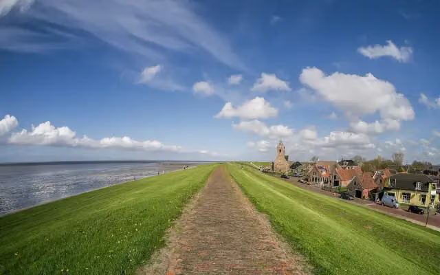
i
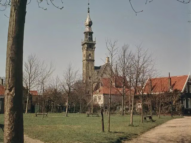
i
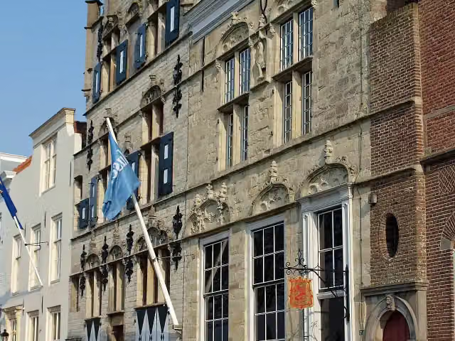
i
The route step by step
From start to finish, with what you pass along the way and the distance in between.
- 888 km
- ± 16:25 h per stage
- Hard per stage
- From A to B
- National route
- Colour of the signs
Pick a stage to see the pitstops per kilometre. Along the way you'll find 293 benches and picnic tables, 9 water fountains and refill points, 31 public toilets and 1 bike pump.
Follow these steps in the appThe route with the water points, toilets and sights within 100 m of it.
14 sights along the way
In the order you pass them. With the Outdoor Pitstop app you hear their story on the spot. 6 more along the route are on the map.
- Story
i
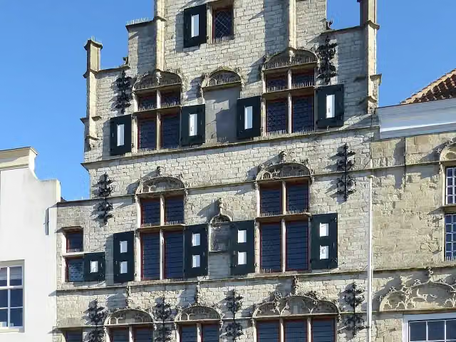
Photo: Unknown authorUnknown author · Wikimedia Commons · CC BY-SA 4.0View the photo on Wikimedia CommonsStadhuis
Attraction
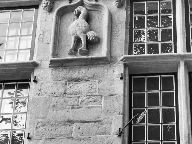
i
Photo: Kramer, A. (Fotograaf) · Wikimedia Commons · CC BY-SA 4.0View the photo on Wikimedia CommonsAttraction
i
Photo: Chris06 · Wikimedia Commons · CC BY-SA 4.0View the photo on Wikimedia CommonsAttraction
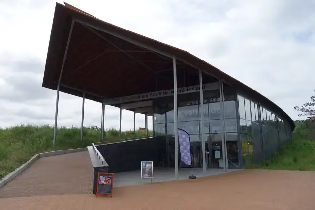 Audio story · 2 min
i
Photo: Dqfn13 · Wikimedia Commons · CC BY-SA 4.0View the photo on Wikimedia CommonsHuis van Hilde
Museum

Observation tower
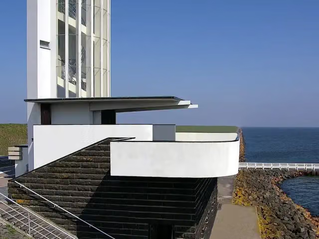 Story
i
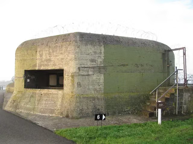
Photo: Johann H. Addicks / Btr · Wikimedia Commons · CC BY-SA 3.0View the photo on Wikimedia CommonsVlietermonument
Observation tower
Stages (12)
- 1Nederlands Kustpad deel 1 - 04aDutch Coastal Trail part 1 - 04a15.1 km
- 2Nederlands Kustpad deel 2 - 05a - Aanlooproute De ZilkDutch Coastal Trail part 2 - 05a - De Zilk approach route1 km
- 3Nederlands Kustpad deel 2 - 08aDutch Coastal Trail part 2 - 08a3.1 km
- 4Nederlands Kustpad deel 2 - 09aDutch Coastal Trail part 2 - 09a3.3 km
- 5Nederlands Kustpad deel 2 stage VDutch Coastal Trail part 2 stage V19.3 km
- 6Nederlands Kustpad Afsluitdijk met Bus transfer Oost-WestDutch Coastal Trail Afsluitdijk with bus transfer east-west32.6 km
- 7Nederlands Kustpad Afsluitdijk met Bus transfer West-OostDutch Coastal Trail Afsluitdijk with bus transfer west-east32.3 km
- 8Nederlands Kustpad deel 3, sectie 01Dutch Coastal Trail part 3, section 0115.4 km
- 9Nederlands Kustpad deel 3, sectie 02Dutch Coastal Trail part 3, section 0216.2 km
- 10Nederlands Kustpad deel 3, sectie 03Dutch Coastal Trail part 3, section 0319.1 km
- 11Nederlands Kustpad deel 3, sectie 10A1Dutch Coastal Trail part 3, section 10A113.8 km
- 12Nederlands Kustpad deel 3, sectie cDutch Coastal Trail part 3, section c21.9 km
Elevation and terrain
Way types
888 km in total- Road: 42.4 km
- Path: 34.9 km
- Cycleway: 25.2 km
- Street: 20.3 km
- Footpath: 8.5 km
- Track: 6.2 km
- Stairs: 20 stairs
- Busy road: 575 m
- Unknown: 54.1 km
Surfaces
888 km in total- Asphalt: 97.3 km
- Paved: 31 km
- Natural: 23.5 km
- Gravel: 5.7 km
- Unpaved: 2.3 km
- Unknown: 33 km
About the walking route Nederlands Kustpad
Updated on 5 November 2026, with data from OpenStreetMap and the AHN.
Where do you walk?
Nederlands Kustpad is a walking route of 888 km that starts in Veere. It does not end where it starts. You start in Sluis and finish in Bad Nieuweschans.
How hard is the route?
There are 20 flights of steps along the way. Allow ± 16:25 h per stage, without breaks. Per stage the level is hard.
What paths do you walk on?
The longest part is road (42.4 km), path (34.9 km) and cycleway (25.2 km). Of the surface, 97.3 km asphalt and 31 km paved. For 33 km the surface is not known.
Pitstops along the way
Within 100 metres of the route there are 293 benches and picnic tables, 9 water fountains and refill points, 31 public toilets and 1 bike pump. The Outdoor Pitstop app navigates you there.
Walks nearby
6Sights nearby
Within 10 km of the route, best known first.
- 1
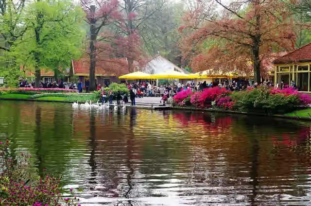 KeukenhofAttraction · 3.7 km from the route
- 2
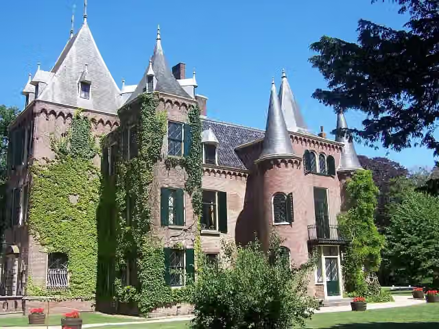 Kasteel KeukenhofCastle · 3.9 km from the route
- 3
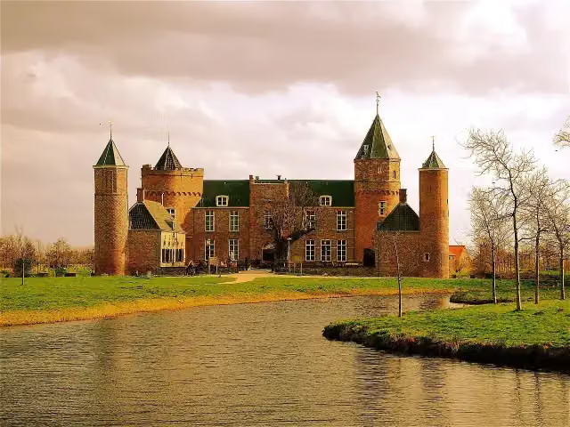 Westhove CastleCastle · 7.3 km from the route
- 4
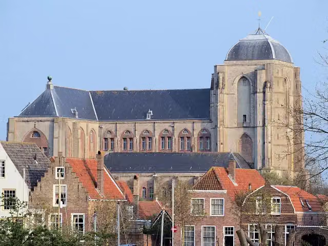 Grote KerkMuseum · 211 m from the route
- 5
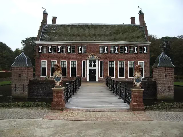 MenkemaborgCastle · 232 m from the route
- 6
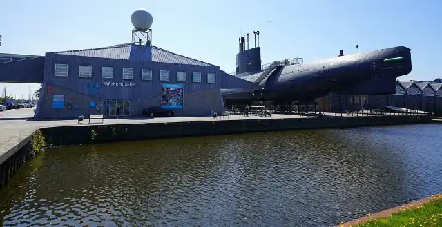 MarinemuseumMuseum · 748 m from the route
- 7
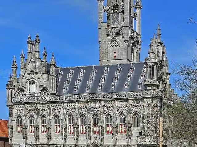 StadhuisAttraction · 6.7 km from the route
- 8
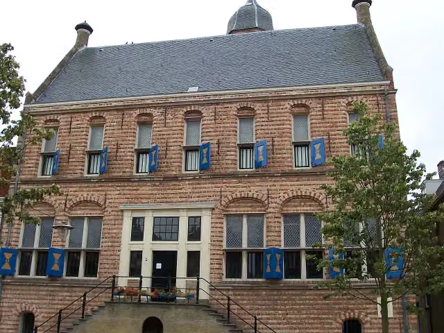 Museum MartenaMuseum · 8.1 km from the route
- 9
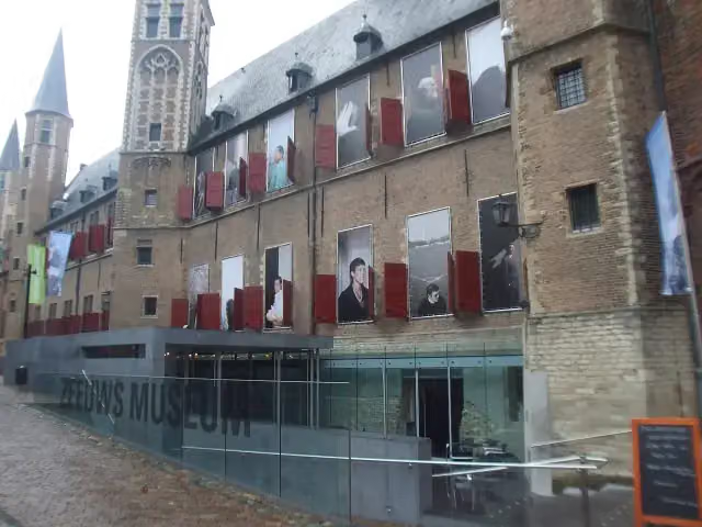 Zeeuws museumMuseum · 6.4 km from the route
- 10
 Royal Eise Eisinga PlanetariumMuseum · 8.2 km from the route
- 11
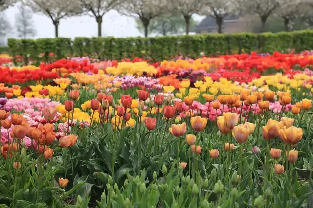 Hortus BulborumAttraction · 3.1 km from the route
- 12
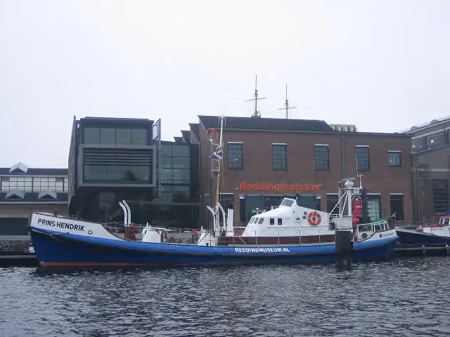 Nationaal Reddingmuseum Dorus RijkersMuseum · 558 m from the route
- 13
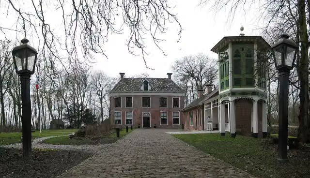 AllersmaborgAttraction · 4.2 km from the route
- 14
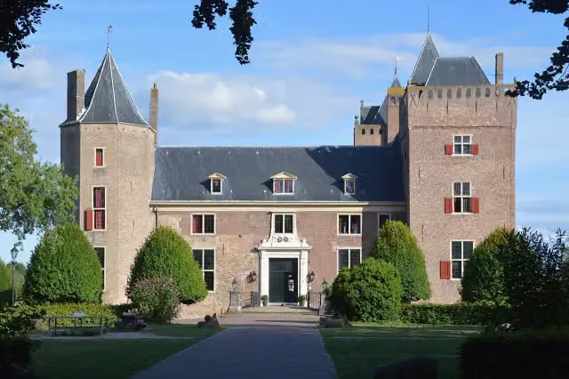 Slot AssumburgCastle · 4.8 km from the route
- 15
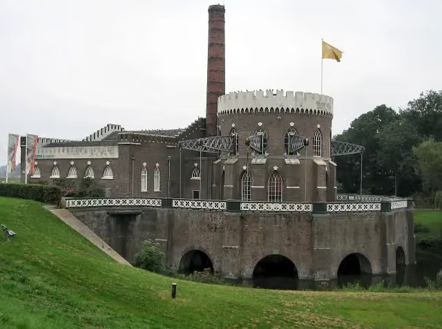 Gemaal de CruquiusMuseum · 8 km from the route
- 16
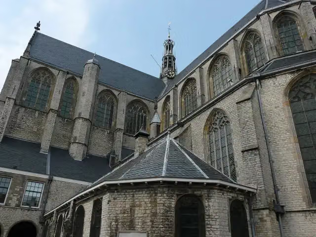 Grote of Sint-LaurenskerkMuseum · 8 km from the route
- 17
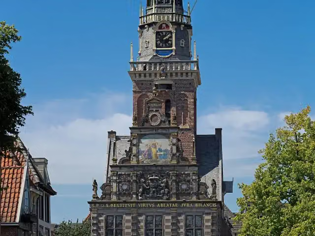 WaagAttraction · 8.4 km from the route
- 18
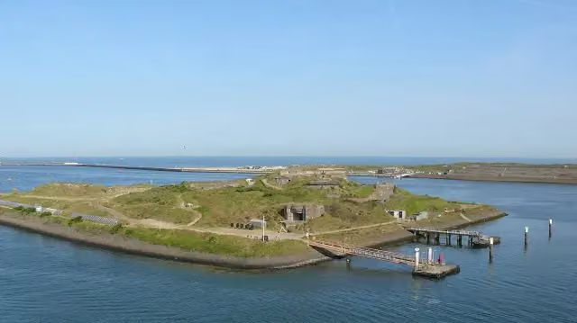 Fort bij IJmuidenFort · 9.2 km from the route
- 19
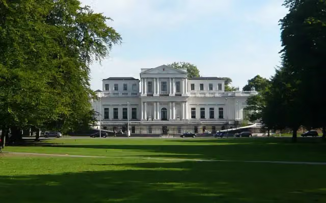 Paviljoen WelgelegenAttraction · 10 km from the route
- 20
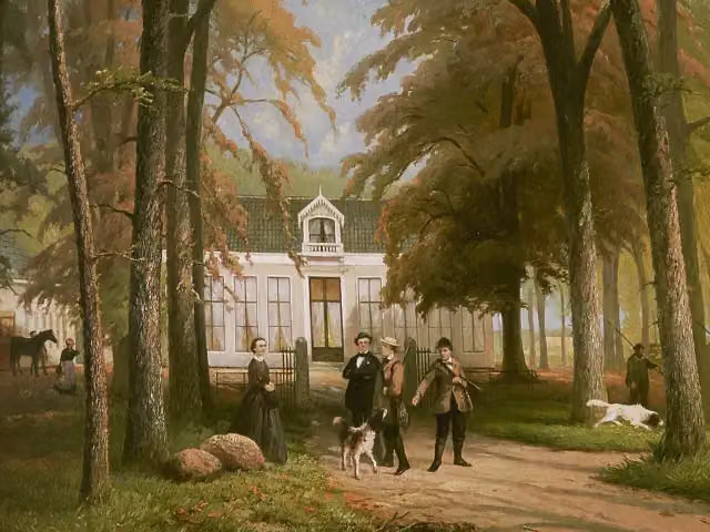 RensumaborgCastle · 2.2 km from the route
- 21
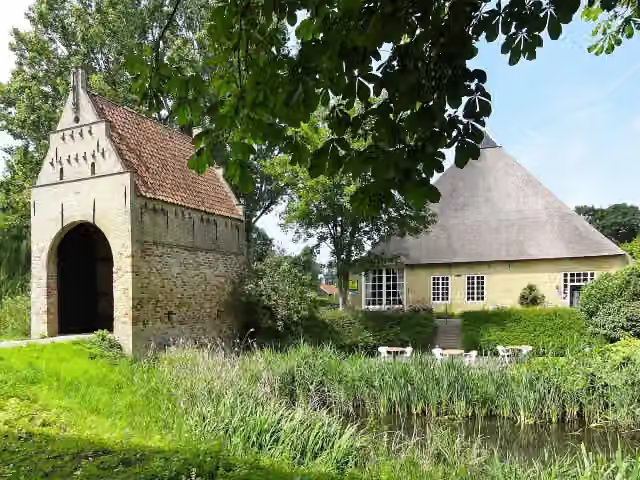 LiauckamastateCastle · 6.1 km from the route
- 22
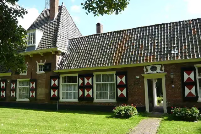 Hofje van Willem HeythuijsenAttraction · 9.9 km from the route
- 23
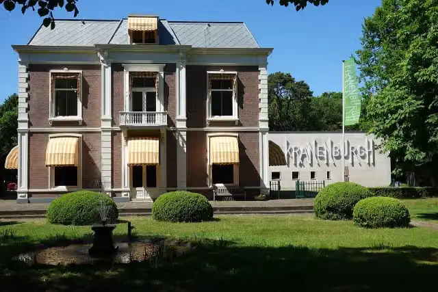 Museum KranenburghMuseum · 5 km from the route
- 24
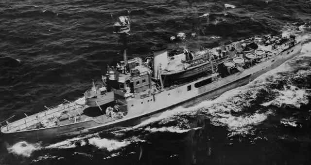 HNLMS Abraham CrijnssenAttraction · 809 m from the route
- 25
 Navigatiebrug HNLMS De RuyterMuseum · 580 m from the route
Explore more
Frequently asked questions
How long is Nederlands Kustpad?
Nederlands Kustpad is 888 km long, in 12 stages of 74 km on average. Allow ± 16:25 h per stage of walking: 4.5 km an hour and 10 minutes more per 100 metres of climbing, without breaks.
Is this route a circular walk?
No, the route runs from Sluis to Bad Nieuweschans.
Where does this route start?
The route starts in Veere.
How hard is this route?
Hard per stage.
Are there toilets along this route?
Yes, there are 31 public toilets within 100 m of the route.
Can you fill up with water along this route?
Yes, there are 9 water fountains and refill points within 100 m of the route.
What is there to see along this route?
Along the way you pass Stadhuis, Veere Stadhuismuseum & De Schotse Huizen and de Struijs.
Starting point
More routes from this place
Route data © OpenStreetMap contributors





