 Outdoor Pitstop
Walking guide Uithoorn · Updated on 5 November 2026
The best walks in Uithoorn
Uithoorn has 13 walks on the Outdoor Pitstop map. The 9 best are 13.4 km long on average; 4 of them are circular walks. Along the way you find 234 benches and picnic tables, 8 water fountains and refill points and 1 public toilet in total.
i
i
i
The 9 best walks
In the order of our score: a photo, points of interest along the way, a toilet or water point, a circular walk, a description and how often people search for the route.
The best walking route in Uithoorn is Pelgrimspad 1 - 03 (17.3 km, moderate).
The numbers on the map are the routes below, at their starting point. Pitstops count up to 100 m from the route. Walking time assumes 4.5 km an hour plus 10 minutes per 100 m of ascent.
- 1
i
Photo: Sumurai8 · Wikimedia Commons · CC BY-SA 4.0View the photo on Wikimedia CommonsPelgrimspad 1 - 03
ModeratePilgrim Trail 1 - 03
17.3 km · ± 3:50 h · From A to B · start Uithoorn
0 public toilets3 water fountains and refill points14 benches and picnic tables
- 2
i
Photo: Defence Line Amsterdam from Different city's, Netherlands · Wikimedia Commons · CC BY 2.0View the photo on Wikimedia CommonsWaterliniepad - 06
ModerateWater Line Trail - 06
17.3 km · ± 3:50 h · ↗ 9 m · From A to B · start Haarlemmermeer
1 public toilet1 water point67 benches and picnic tables
- 3
i
Photo: MartinD · Wikimedia Commons · CC BY-SA 3.0 nlView the photo on Wikimedia CommonsTolhuissluisspad
ModerateTolhuissluis Trail
16.6 km · ± 3:40 h · ↗ 3 m · Circular walk · start Kaag en Braassem
0 public toilets2 water fountains and refill points34 benches and picnic tables
- 4
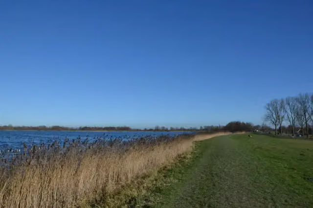
i
Photo: MartinD · Wikimedia Commons · CC BY-SA 4.0View the photo on Wikimedia CommonsWaterliniepad - 07
ModerateWater Line Trail - 07
17.1 km · ± 3:50 h · From A to B · start De Ronde Venen
0 public toilets1 water point37 benches and picnic tables
- 5
i
Photo: Sumurai8 · Wikimedia Commons · CC BY-SA 4.0View the photo on Wikimedia CommonsFortenpad
EasyForts Trail
8.1 km · ± 1:50 h · Circular walk · start Nieuwkoop
0 public toilets1 water point6 benches and picnic tables
- 6
i
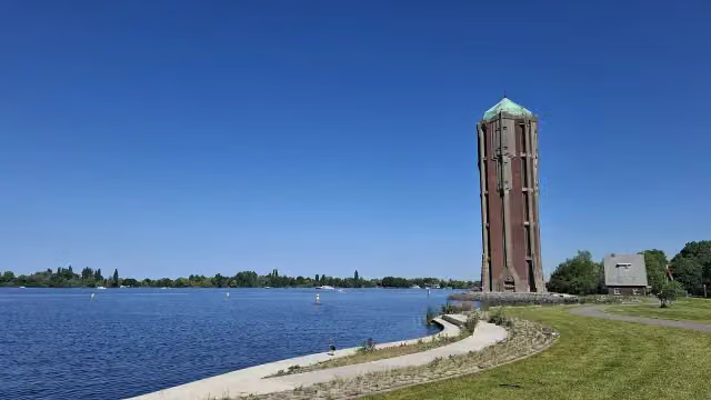
Photo: MartinD · Wikimedia Commons · CC BY-SA 4.0View the photo on Wikimedia CommonsPelgrimspad 1 - 02
ModeratePilgrim Trail 1 - 02
12.7 km · ± 2:50 h · ↗ 10 m · From A to B · start Amstelveen
0 public toilets0 water fountains and refill points24 benches and picnic tables
- 7
i
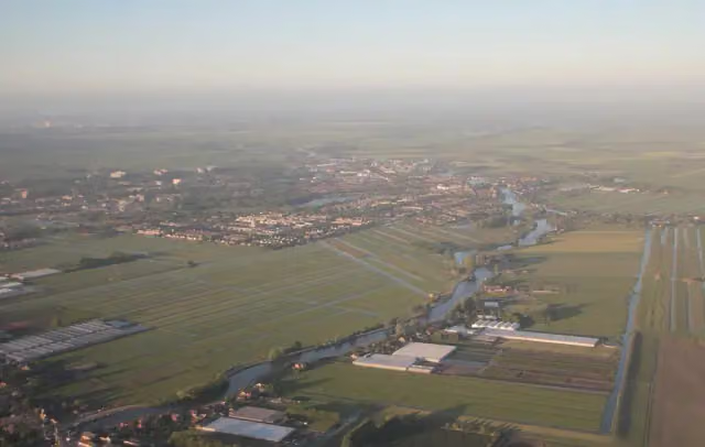
Photo: Milliped · Wikimedia Commons · CC BY-SA 3.0View the photo on Wikimedia CommonsAmsteldijkroute
EasyAmstel Dyke Route
9.2 km · ± 2:05 h · ↗ 3 m · Circular walk · start Uithoorn
0 public toilets0 water fountains and refill points21 benches and picnic tables
- 8
Vuurlijnpad
ModerateFire Line Trail
19.4 km · ± 4:20 h · ↗ 6 m · Circular walk · start Aalsmeer
0 public toilets0 water fountains and refill points31 benches and picnic tables
- 9
3.2 km · ± 45 min · From A to B · start De Ronde Venen
0 public toilets0 water fountains and refill points0 benches and picnic tables
All 2 walks from Uithoorn, A to Z
Long-distance paths through Uithoorn
Walks of several days, in stages.
i
Photo: China Crisis · Wikimedia Commons · CC BY 3.0View the photo on Wikimedia Commons
i
Photo: Massimo Catarinella · Wikimedia Commons · CC BY-SA 3.0View the photo on Wikimedia Commonsi
Photo: Massimo Catarinella · Wikimedia Commons · CC BY-SA 3.0View the photo on Wikimedia Commonsi
Photo: Massimo Catarinella · Wikimedia Commons · CC BY-SA 3.0View the photo on Wikimedia Commons
Points of interest along the walks
Along the 9 best walks.
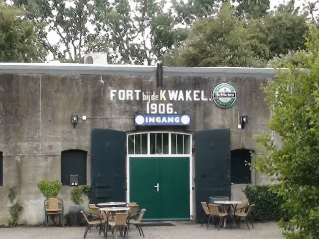
Fort near De Kwakel
Fort · along 3 walks
Fort bij Kudelstaart
Fort · along 1 walk
i
Photo: Defence Line Amsterdam from Different city's, Netherlands · Wikimedia Commons · CC BY 2.0View the photo on Wikimedia CommonsFort · along 1 walk
Walks per place in North Holland
41 places have their own guide.
- Aalsmeer13 ›
- Alkmaar26 ›
- Amstelveen34 ›
- Amsterdam104 ›
- Bergen23 ›
- Beverwijk21 ›
- Blaricum20 ›
- Bloemendaal40 ›
- Castricum25 ›
- Den Helder6 ›
- Diemen24 ›
- Dijk en Waard11 ›
- Drechterland29 ›
- Edam-Volendam27 ›
- Enkhuizen14 ›
- Gooise Meren54 ›
- Haarlem27 ›
- Haarlemmermeer59 ›
- Heemskerk19 ›
- Heemstede13 ›
- Heiloo7 ›
- Hilversum51 ›
- Hollands Kroon26 ›
- Hoorn18 ›
- Huizen29 ›
- Koggenland22 ›
- Landsmeer12 ›
- Laren13 ›
- Medemblik42 ›
- Ouder-Amstel12 ›
- Purmerend25 ›
- Schagen26 ›
- Stede Broec21 ›
- Texel36 ›
- Uitgeest14 ›
- Velsen40 ›
- Waterland20 ›
- Wijdemeren38 ›
- Wormerland10 ›
- Zaanstad25 ›
- Zandvoort8 ›
Explore further
Frequently asked questions
How many walks are there in Uithoorn?
The Outdoor Pitstop map has 13 walks in Uithoorn, including 4 long-distance paths in stages.
What is the best walk in Uithoorn?
At the top of this guide is Pelgrimspad 1 - 03 (17.3 km, moderate). Next come Waterliniepad - 06 and Tolhuissluisspad.
Are there circular walks in Uithoorn?
Yes, for example Tolhuissluisspad, Fortenpad and Amsteldijkroute.
Which walks in Uithoorn have a toilet along the way?
In this guide, Waterliniepad - 06 have a public toilet along the route.
Which long-distance paths run through Uithoorn?
Among others Waterliniepad, Pelgrimspad deel 1 (Alle varianten), Pelgrimspad deel 1 (Hoofdroute) and Pelgrimspad (Alle varianten) run through this area.
Popular nearby
Guides of places nearby





