 Outdoor Pitstop
Walking route · Amsterdam · Pilgrim Trail part 1 (Main route) · Updated on 6 November 2026
Pelgrimspad deel 1 (Hoofdroute) walk
Pelgrimspad deel 1 (Hoofdroute) is a walk of 208.3 km from Amsterdam. Along the way you'll find 740 benches and picnic tables, 40 water fountains and refill points, 32 public toilets and 1 food stand.
i
i
i
The route step by step
From start to finish, with what you pass along the way and the distance in between.
- 208.3 km
- ± 3:50 h per stage
- Moderate per stage
- From A to B
- National route
- Colour of the signs
Start in Amsterdam
0 kmAt the start: public toilet.
177 m · 6 benches

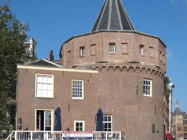
Weepers' Tower and 1 more
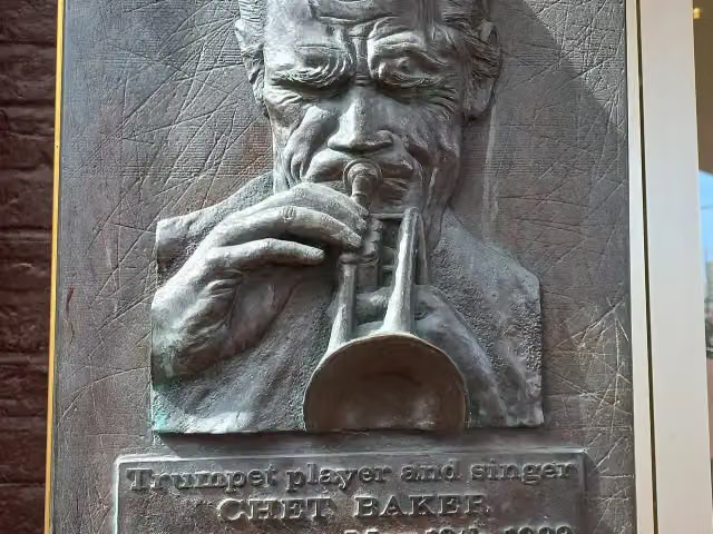
177 mPlaquette Chet Baker
161 m · 13 benches
Sint Olofskapel
338 mAttraction
153 m · bench
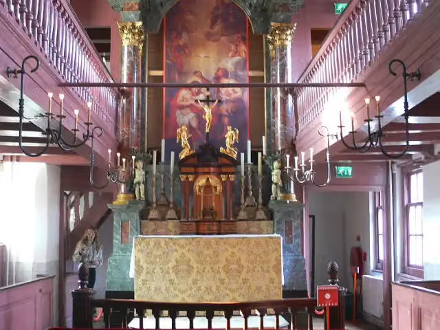
Our Lord in the Attic and 2 more
491 mWarmoesstraat, Old Church and public toilet
155 m
Red Light District and 1 more
646 mBerlage's Stock Market, 2 public toilets and water point
323 m · 4 benches
2 public toilets and 3 water fountains and refill points
969 m154 m · 6 benches
Dam Square Victims 7 mei 1945 and 4 more
1.1 kmNational Monument, Dam Square, Plaquette 7 mei 1945, Madame Tussauds Amsterdam and public toilet
218 m · 26 benches
The Amsterdam Dungeon
1.3 kmWater point
233 m
Amsterdam Museum and 1 more
1.6 kmBegijnhof and water point
186 m
Houten Huis and 1 more
1.8 kmSpui, public toilet and 2 water fountains and refill points
201 m · 11 benches
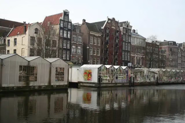
Flower Market and 1 more
2 kmTorture Museum and 4 public toilets
390 m · 6 benches
Museum of the Canals and 1 more
2.4 kmMarseille House and public toilet
857 m · 38 benches
Leidseplein and 1 more
3.2 kmKleine-Gartmanplantsoen, 4 public toilets and water point
152 m · 3 benches
Gedenksteen and 2 more
3.4 kmMax Euwe Centrum, Tranen, 2 public toilets and 2 water fountains and refill points
181 m · 15 benches
Public toilet and water point
3.5 km490 m · 14 benches
Vondelmonument and 1 more
4 kmMama Baranka (Moeder Rots) and 2 water fountains and refill points
241 m · 24 benches
2 public toilets and water point
4.3 km327 m · 28 benches
Public toilet and water point
4.6 km180 m · 4 benches
Water point
4.8 km761 m · 42 benches
Public toilet and water point
5.5 km186 m · 11 benches
Water point
5.7 km288 m · 8 benches
Water point
6 km2.8 km · 20 benches
Water point
8.8 km426 m · 6 benches
Water point
9.2 km183 m
Water point
9.4 km491 m
Water point
9.9 km2.3 km · 25 benches
Water point
12.2 km1.4 km · 14 benches
Water point
13.6 km3.6 km · 21 benches
Water point
17.2 km14.1 km · 24 benches
Fort near De Kwakel
31.3 kmFort
Show the other 27 steps
1.2 km · bench
Water point
32.5 km5.7 km · 9 benches
Water point
38.2 km3.8 km · 2 benches
Water point
41.9 km9.1 km · 6 benches
Waterkruising / Onderlijder
51 kmAttraction
3.2 km · bench
Water point
54.2 km7.9 km · 12 benches
Public toilet
62.1 km4 km · bench
Public toilet and water point
66.1 km3.4 km · 9 benches
Water point
69.5 km3.3 km · 4 benches
Wierickewachter
72.8 kmObservation tower
10 km · 20 benches
2 water fountains and refill points
82.8 km5.5 km · 7 benches
Koeneschans
88.3 kmFort
1.8 km · 2 benches
Public toilet and food stand
90.2 km2.5 km · 4 benches
Museum
485 m · 14 benches
Public toilet and water point
93.1 km3 km · 18 benches
Public toilet
96.1 km25.8 km · 6 benches
Museum De Koperen Knop
122 kmMuseum
14 km · 34 benches
Water point
136 km7.9 km · 30 benches
Scheiding van Maas en Waal
143.9 kmMemorial
20.3 km · 18 benches
Kasteel Nederhemert
164.2 kmCastle
944 m · 3 benches
Kleine Schans
165.1 kmFort
4.5 km · 12 benches
Public toilet
169.6 km20.1 km · 50 benches
Public toilet
189.7 km11.6 km · 33 benches
Fusilladeplaats
201.2 kmMemorial
2.9 km · 4 benches
Fort Isabella
204.1 kmFort
2.8 km · 24 benches
Museum Slager
206.9 kmWater point
441 m · 3 benches
Puthuis
207.4 kmWater point
908 m · 36 benches
Finish
208.3 kmAt the finish: public toilet and water point.
Longest stretch without a toilet: 73.4 kmBetween 96.1 km and 169.6 km there is no public toilet within 100 m of the route.
The route with the water points, toilets and sights within 100 m of it.
42 sights along the way
In the order you pass them. With the Outdoor Pitstop app you hear their story on the spot. 34 more along the route are on the map.
- Audio story · 2 min
i
Photo: S Sepp · Wikimedia Commons · CC BY-SA 3.0View the photo on Wikimedia CommonsWeepers' Tower
Attraction · after 177 m
Plaquette Chet Baker
Memorial · after 316 m
Sint Olofskapel
Attraction · after 338 m
 Audio story · 2 min
i
Photo: Remi Mathis · Wikimedia Commons · CC BY-SA 3.0View the photo on Wikimedia CommonsOur Lord in the Attic
Museum · after 491 m
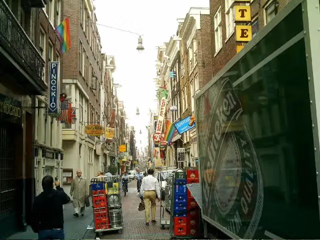 Audio story · 2 min
Warmoesstraat
Attraction · after 514 m
 Audio story · 2 min
i
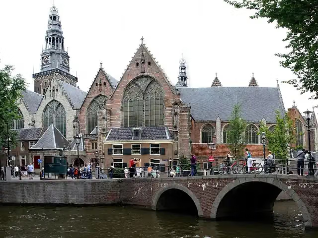
Photo: Gerd Eichmann · Wikimedia Commons · CC BY-SA 4.0View the photo on Wikimedia CommonsOld Church
Museum · after 620 m
 Audio story · 2 min
i
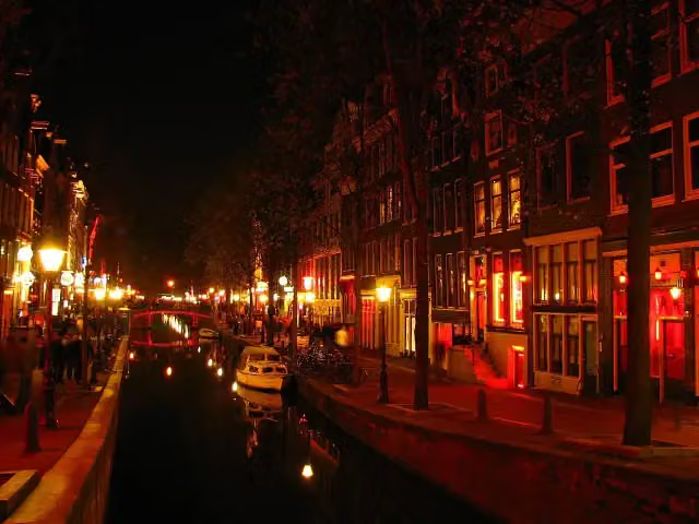
Photo: Rungbachduong · Wikimedia Commons · CC BY-SA 3.0View the photo on Wikimedia CommonsRed Light District
Attraction · after 651 m
 Audio story · 2 min
i
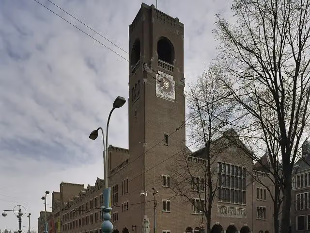
Photo: Sergé Technau · Wikimedia Commons · CC BY-SA 4.0View the photo on Wikimedia CommonsBerlage's Stock Market
Attraction · after 771 m
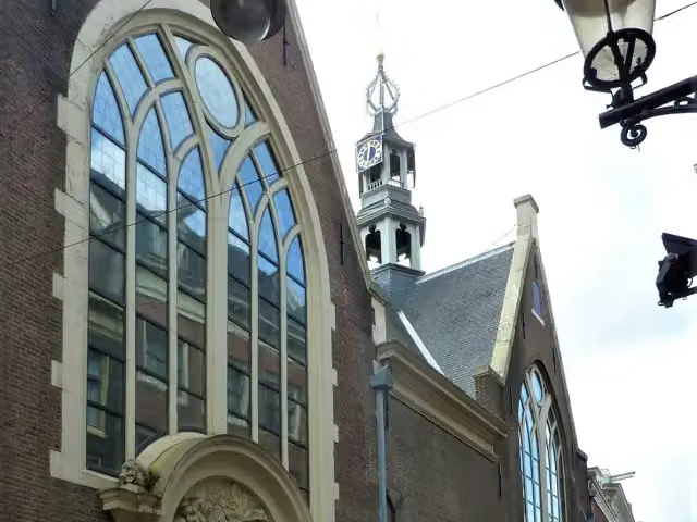
Stages (12)
- 1Pelgrimspad 1 - 1Pilgrim Trail 1 - 118.2 km
- 2Pelgrimspad 1 - 2Pilgrim Trail 1 - 212.7 km
- 3Pelgrimspad 1 - 3Pilgrim Trail 1 - 317.3 km
- 4Pelgrimspad 1 - 4Pilgrim Trail 1 - 416.4 km
- 5Pelgrimspad 1 - 5Pilgrim Trail 1 - 518.2 km
- 6Pelgrimspad 1 - 6Pilgrim Trail 1 - 615.9 km
- 7Pelgrimspad 1 - 7Pilgrim Trail 1 - 727.2 km
- 8Pelgrimspad 1 - 8Pilgrim Trail 1 - 817.6 km
- 9Pelgrimspad 1 - 9Pilgrim Trail 1 - 918.6 km
- 10Pelgrimspad 1 - 10Pilgrim Trail 1 - 1016.8 km
- 11Pelgrimspad 1 - 11Pilgrim Trail 1 - 1117.1 km
- 12Pelgrimspad 1 - 12Pilgrim Trail 1 - 1212.1 km
Elevation and terrain
Way types
208.3 km in total- Road: 58 km
- Path: 53.6 km
- Cycleway: 30.6 km
- Footpath: 27.6 km
- Track: 18 km
- Street: 16 km
- Stairs: 15 stairs
- Busy road: 216 m
- Unknown: 3 km
Surfaces
208.3 km in total- Natural: 48.9 km
- Asphalt: 43.8 km
- Paved: 21.6 km
- Gravel: 15 km
- Unpaved: 8 km
- Unknown: 70.3 km
About the walking route Pelgrimspad deel 1 (Hoofdroute)
Updated on 6 November 2026, with data from OpenStreetMap and the AHN.
Where do you walk?
Pelgrimspad deel 1 (Hoofdroute) is a walking route of 208.3 km that starts in Amsterdam. It does not end where it starts. You start in Amsterdam and finish in 's-Hertogenbosch. Along the way you pass Weepers' Tower (after 177 m), Plaquette Chet Baker (after 316 m) and Sint Olofskapel (after 338 m).
How hard is the route?
There are 15 flights of steps along the way. Allow ± 3:50 h per stage, without breaks. Per stage the level is moderate.
What paths do you walk on?
The longest part is road (58 km), path (53.6 km) and cycleway (30.6 km). Of the surface, 48.9 km natural and 43.8 km asphalt. For 70.3 km the surface is not known.
Pitstops along the way
Within 100 metres of the route there are 740 benches and picnic tables, 40 water fountains and refill points, 32 public toilets and 1 food stand. The longest stretch without a toilet is 73.4 km. The Outdoor Pitstop app navigates you there.
Part of Pelgrimspad deel 1 (Alle varianten) (Pilgrim Trail part 1)
Website of the routeWalks nearby
6Sights nearby
Within 10 km of the route, best known first.
- 1
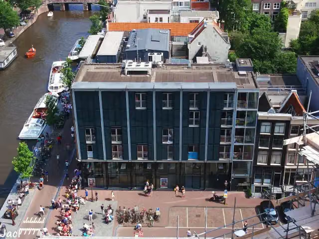 Anne Frank HouseMuseum · 656 m from the route
- 2
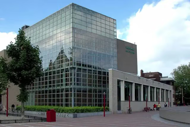 Van Gogh MuseumMuseum · 337 m from the route
- 3
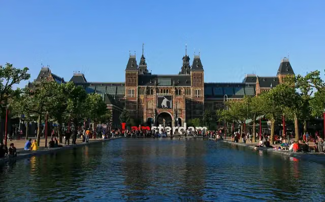 RijksmuseumMuseum · 295 m from the route
- 4
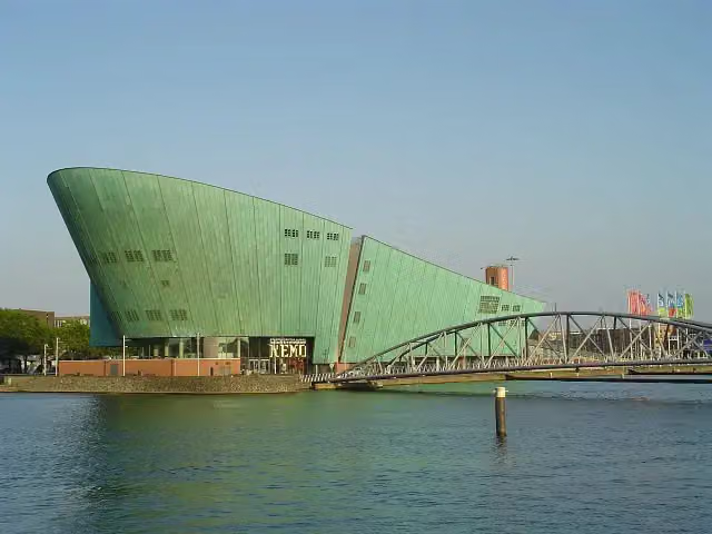 NEMO Science MuseumMuseum · 770 m from the route
- 5
 Heineken ExperienceMuseum · 757 m from the route
- 6
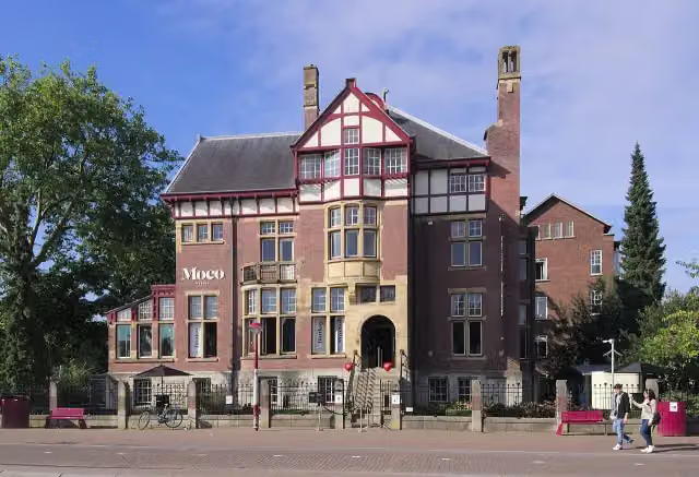 Moco MuseumMuseum · 312 m from the route
- 7
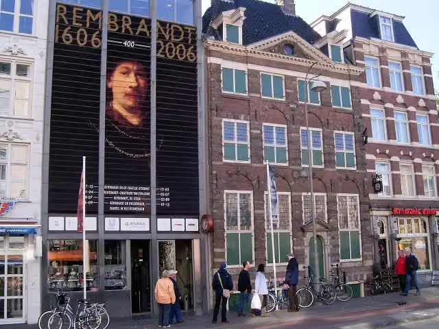 Rembrandt HouseMuseum · 550 m from the route
- 8
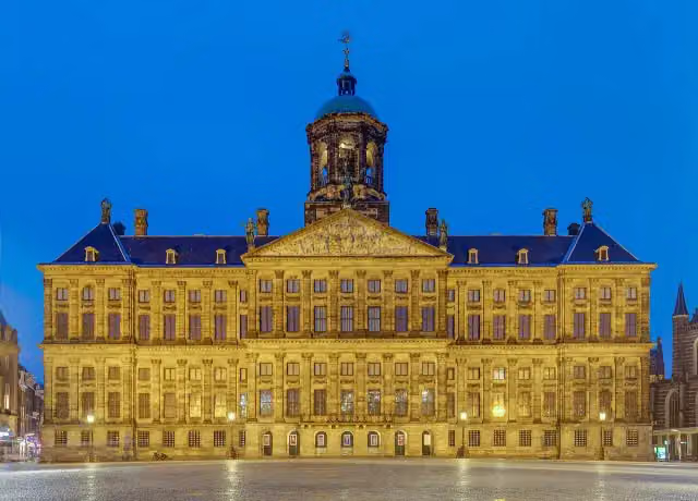 Royal PalaceAttraction · 126 m from the route
- 9
 SexmuseumMuseum · 183 m from the route
- 10
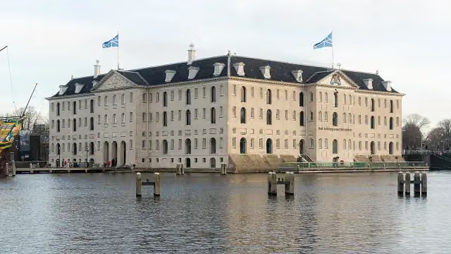 The National Maritime MuseumMuseum · 1 km from the route
- 11
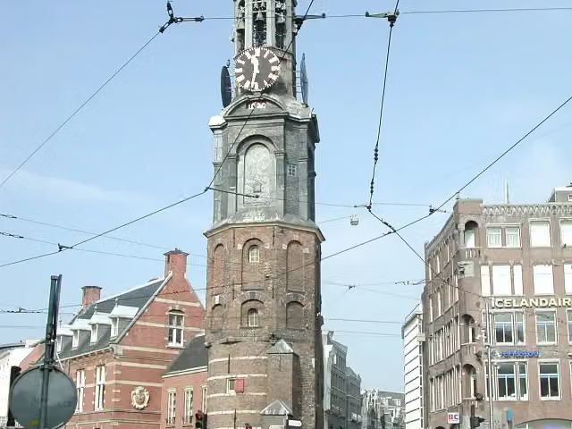 Mint TowerAttraction · 167 m from the route
- 12
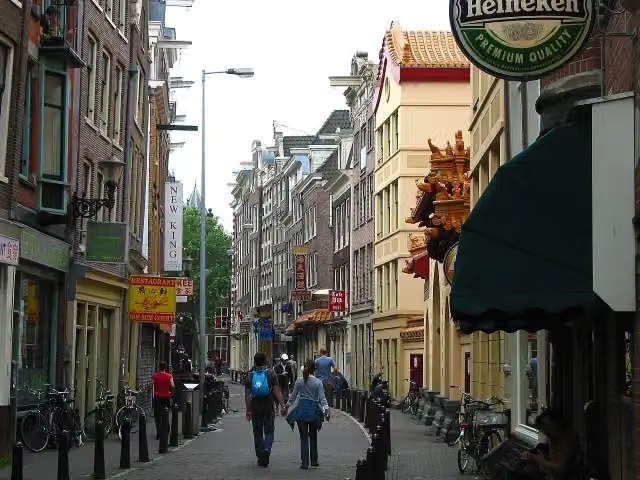 ChinatownAttraction · 169 m from the route
- 13
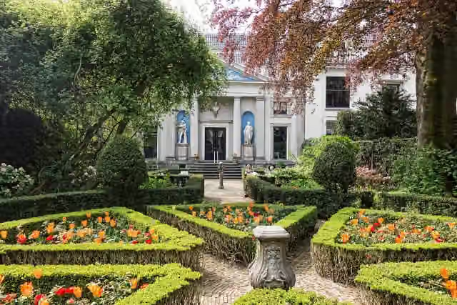 Museum Van LoonMuseum · 495 m from the route
- 14
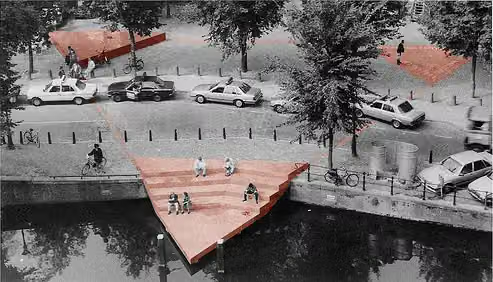 HomomonumentMemorial · 597 m from the route
- 15
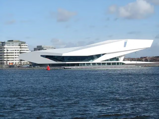 Eye FilmmuseumMuseum · 713 m from the route
- 16
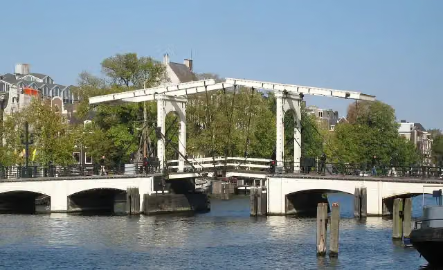 Magere BrugAttraction · 898 m from the route
- 17
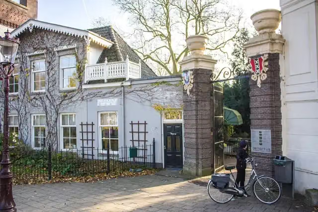 Hortus BotanicusAttraction · 1 km from the route
- 18
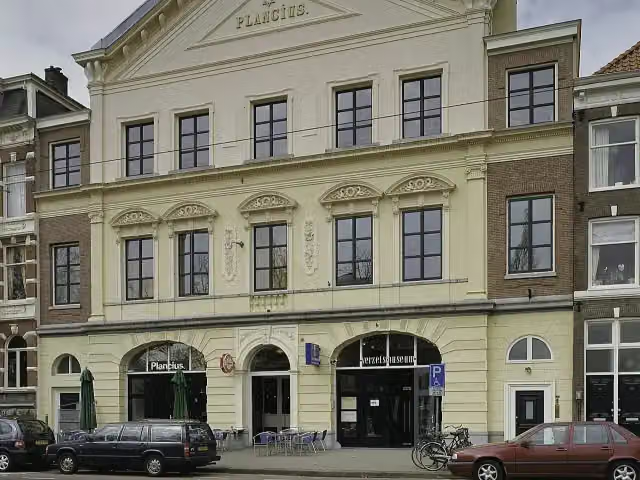 Dutch Resistance MuseumMuseum · 1.2 km from the route
- 19
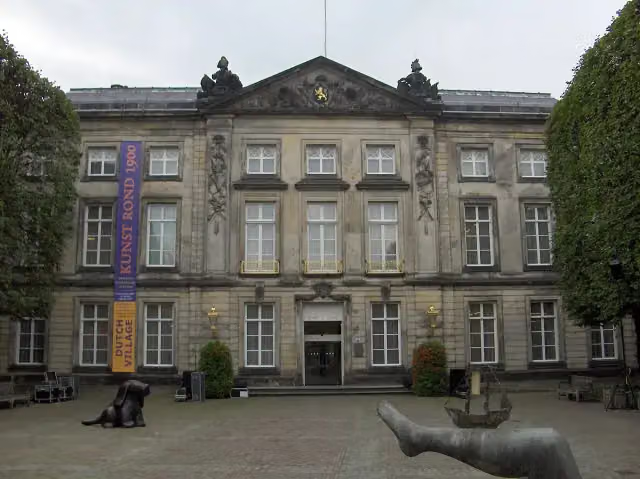 Het Noordbrabants MuseumMuseum · 155 m from the route
- 20
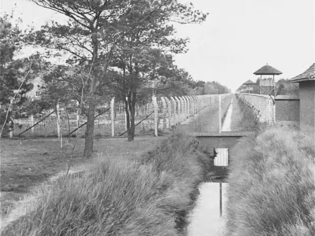 Concentration Camp MuseumMuseum · 232 m from the route
- 21
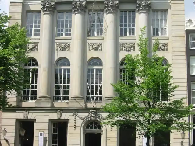 Felix MeritisAttraction · 305 m from the route
- 22
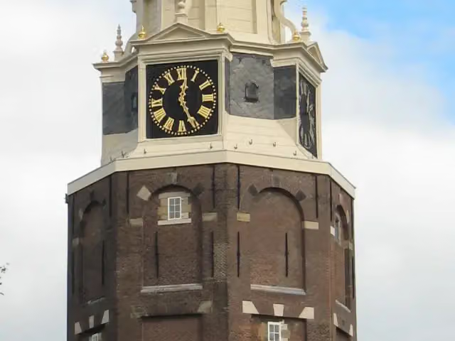 MontelbaanstorenAttraction · 536 m from the route
- 23
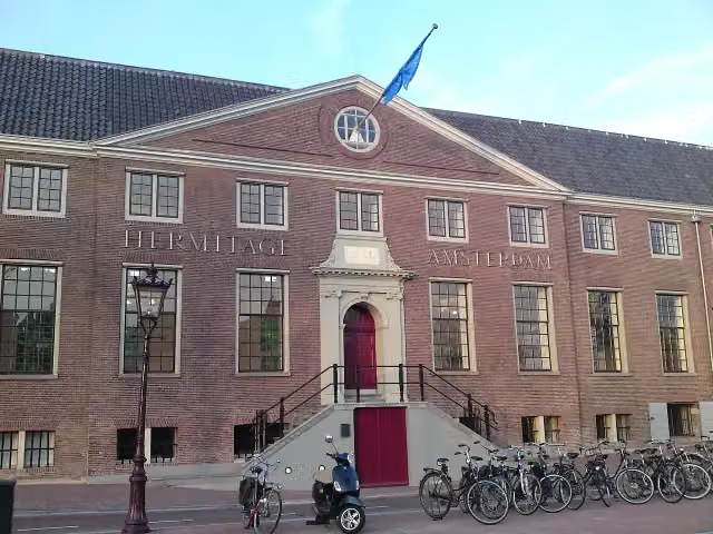 H'ART MuseumMuseum · 795 m from the route
- 24
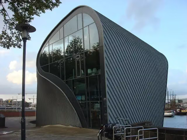 ArcamMuseum · 931 m from the route
- 25
 MicropiaMuseum · 1.3 km from the route
Explore more
Frequently asked questions
How long is Pelgrimspad deel 1 (Hoofdroute)?
Pelgrimspad deel 1 (Hoofdroute) is 208.3 km long, in 12 stages of 17.4 km on average. Allow ± 3:50 h per stage of walking: 4.5 km an hour and 10 minutes more per 100 metres of climbing, without breaks.
Is this route a circular walk?
No, the route runs from Amsterdam to 's-Hertogenbosch.
Where does this route start?
The route starts in Amsterdam.
How hard is this route?
Moderate per stage.
Are there toilets along this route?
Yes, there are 32 public toilets within 100 m of the route. The longest stretch without a toilet is 73.4 km.
Can you fill up with water along this route?
Yes, there are 40 water fountains and refill points within 100 m of the route.
What is there to see along this route?
Along the way you pass Weepers' Tower, Plaquette Chet Baker and Sint Olofskapel.
Starting point
More routes from this place
Route data © OpenStreetMap contributors





