 Outdoor Pitstop
Walking route · Amsterdam · Pilgrim Trail · Updated on 6 November 2026
Pelgrimspad walk
Pelgrimspad is a walk of 487 km from Amsterdam. Along the way you'll find 1,260 benches and picnic tables, 55 water fountains and refill points, 41 public toilets and 1 food stand.
i
i
i
The route step by step
From start to finish, with what you pass along the way and the distance in between.
- 487 km
- From A to B
- National route
- Colour of the signs
Pick a stage to see the pitstops per kilometre. Along the way you'll find 1,260 benches and picnic tables, 55 water fountains and refill points, 41 public toilets and 1 food stand.
Follow these steps in the appThe route with the water points, toilets and sights within 100 m of it.
58 sights along the way
In the order you pass them. With the Outdoor Pitstop app you hear their story on the spot. 50 more along the route are on the map.
- Audio story · 2 min
i
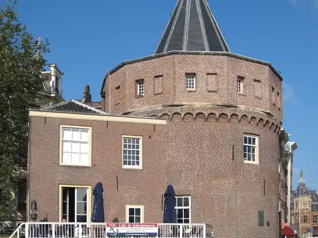
Photo: S Sepp · Wikimedia Commons · CC BY-SA 3.0View the photo on Wikimedia CommonsWeepers' Tower
Attraction
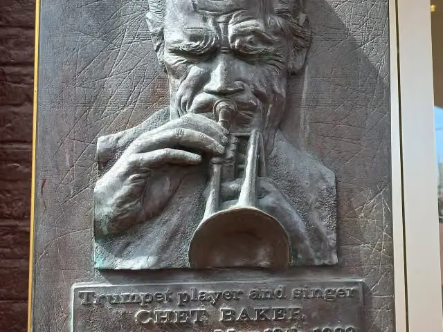
Plaquette Chet Baker
Memorial
Sint Olofskapel
Attraction
 Audio story · 2 min
i
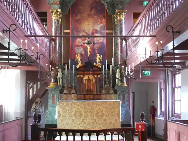
Photo: Remi Mathis · Wikimedia Commons · CC BY-SA 3.0View the photo on Wikimedia CommonsOur Lord in the Attic
Museum
 Audio story · 2 min
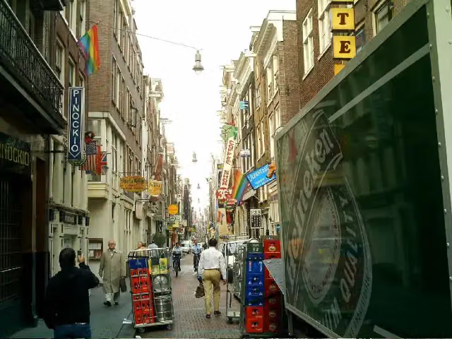
Warmoesstraat
Attraction
 Audio story · 2 min
i
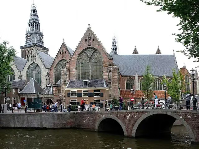
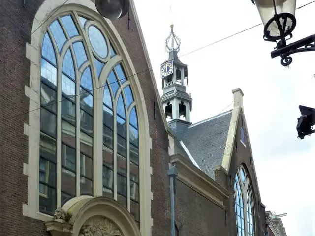
Photo: Gerd Eichmann · Wikimedia Commons · CC BY-SA 4.0View the photo on Wikimedia CommonsOld Church
Museum
 Audio story · 2 min
i
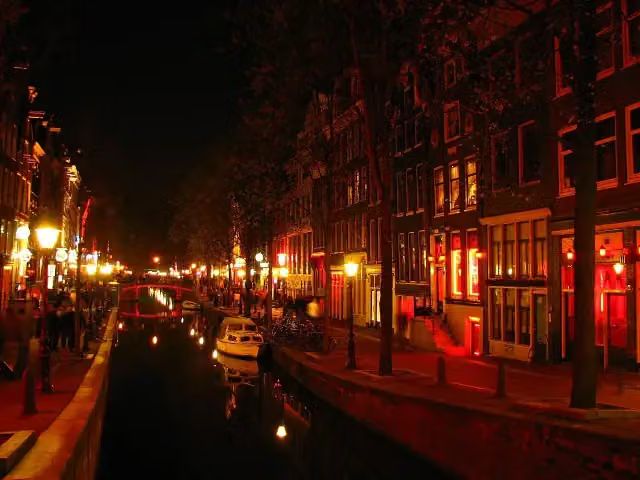
Photo: Rungbachduong · Wikimedia Commons · CC BY-SA 3.0View the photo on Wikimedia CommonsRed Light District
Attraction
 Audio story · 2 min
i
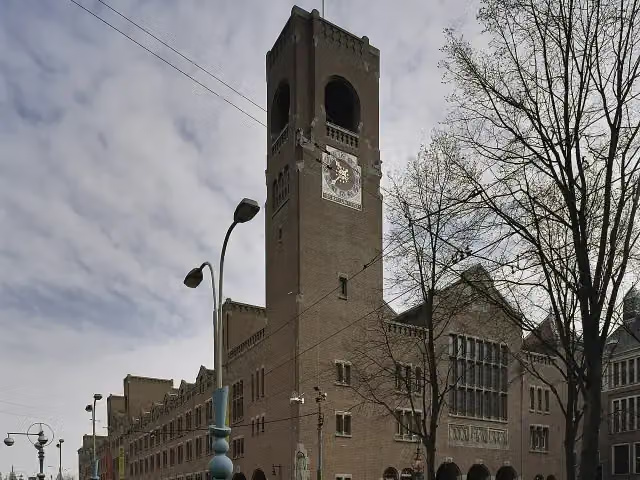
Photo: Sergé Technau · Wikimedia Commons · CC BY-SA 4.0View the photo on Wikimedia CommonsBerlage's Stock Market
Attraction
Stages (2)
About the walking route Pelgrimspad
Updated on 6 November 2026, with data from OpenStreetMap and the AHN.
Where do you walk?
Pelgrimspad is a walking route of 487 km that starts in Amsterdam. It does not end where it starts. You start in Amsterdam and finish in Visé.
Pitstops along the way
Within 100 metres of the route there are 1,260 benches and picnic tables, 55 water fountains and refill points, 41 public toilets and 1 food stand. The Outdoor Pitstop app navigates you there.
Walks nearby
6- Pelgrimspad 1 - 04 - Molenviergang met hondEasy · From A to B3.9 km
- Groene Hartpad - 10Hard · From A to B20.6 km
- Pelgrimspad 1 - 4Moderate · From A to B16.4 km
- MolenviergangrouteEasy · Circular walk8.6 km
- Groene Hartpad - 04 Met hondEasy · From A to B2.6 km
- Groene Hartpad - 10 BroedseizoenHard · From A to B20.6 km
Sights nearby
Within 10 km of the route, best known first.
- 1
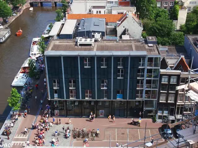 Anne Frank HouseMuseum · 656 m from the route
- 2
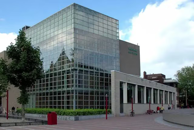 Van Gogh MuseumMuseum · 337 m from the route
- 3
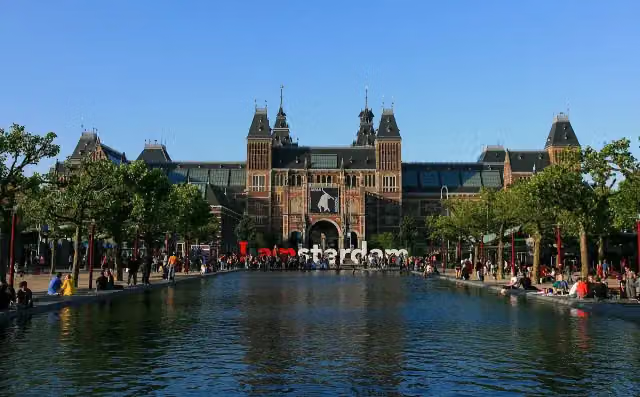 RijksmuseumMuseum · 295 m from the route
- 4
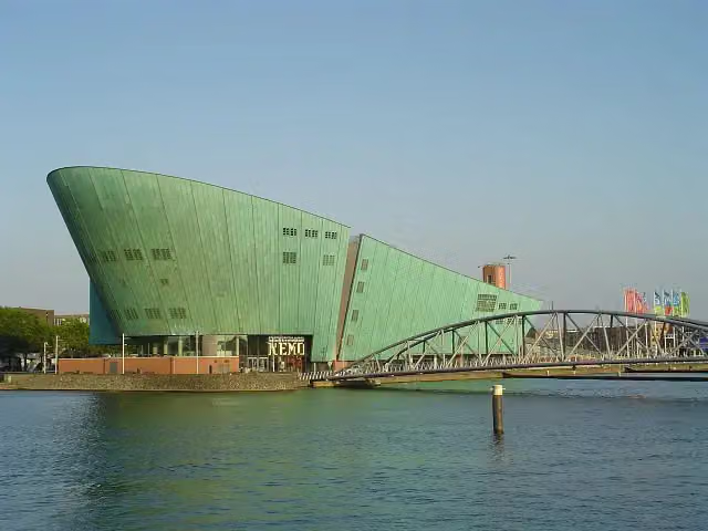 NEMO Science MuseumMuseum · 770 m from the route
- 5
 Heineken ExperienceMuseum · 757 m from the route
- 6
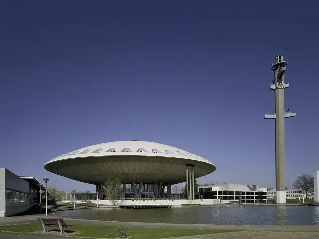 EvoluonAttraction · 6.9 km from the route
- 7
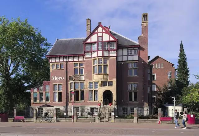 Moco MuseumMuseum · 312 m from the route
- 8
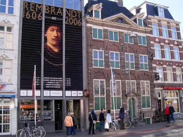 Rembrandt HouseMuseum · 550 m from the route
- 9
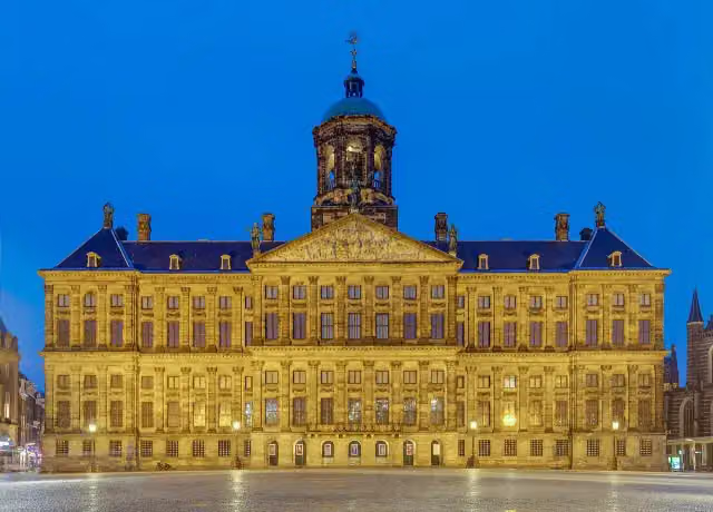 Royal PalaceAttraction · 126 m from the route
- 10
 SexmuseumMuseum · 183 m from the route
- 11
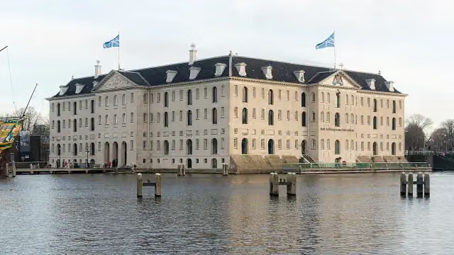 The National Maritime MuseumMuseum · 1 km from the route
- 12
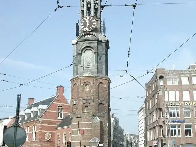 Mint TowerAttraction · 167 m from the route
- 13
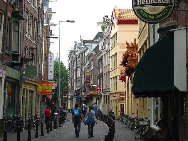 ChinatownAttraction · 169 m from the route
- 14
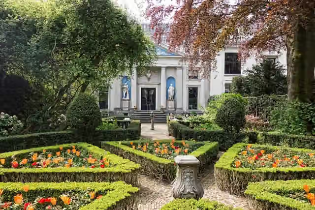 Museum Van LoonMuseum · 495 m from the route
- 15
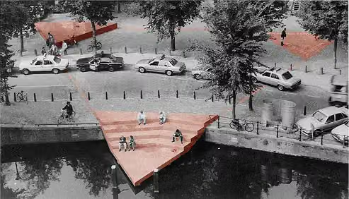 HomomonumentMemorial · 597 m from the route
- 16
 Eye FilmmuseumMuseum · 713 m from the route
- 17
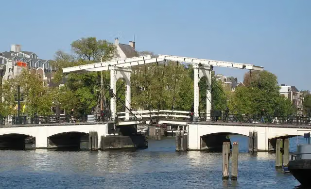 Magere BrugAttraction · 898 m from the route
- 18
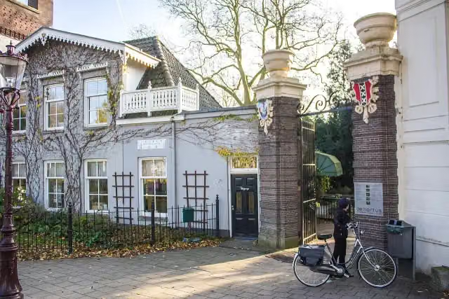 Hortus BotanicusAttraction · 1 km from the route
- 19
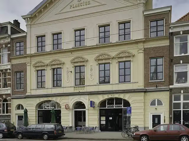 Dutch Resistance MuseumMuseum · 1.2 km from the route
- 20
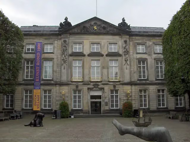 Het Noordbrabants MuseumMuseum · 155 m from the route
- 21
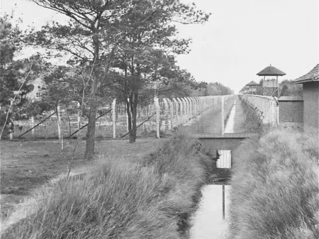 Concentration Camp MuseumMuseum · 230 m from the route
- 22
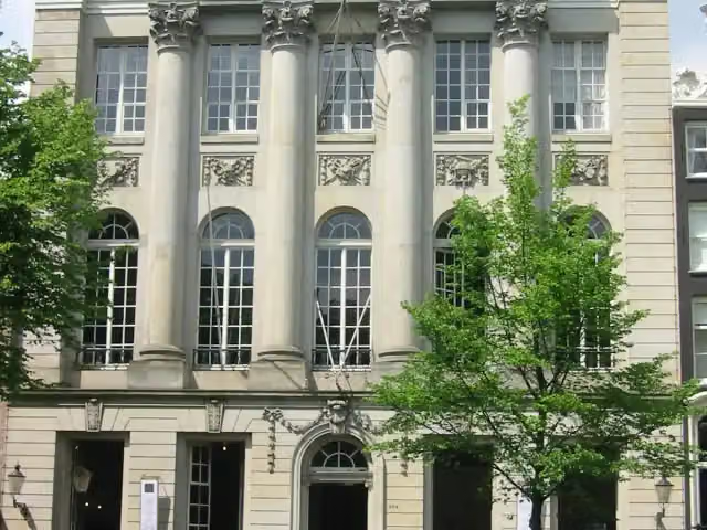 Felix MeritisAttraction · 305 m from the route
- 23
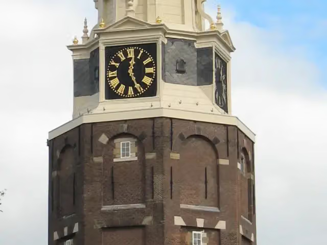 MontelbaanstorenAttraction · 536 m from the route
- 24
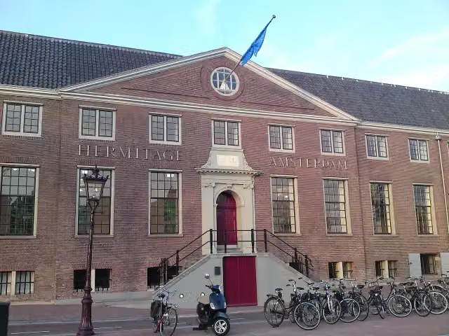 H'ART MuseumMuseum · 795 m from the route
- 25
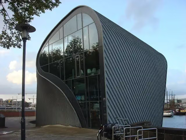 ArcamMuseum · 931 m from the route
Explore more
Frequently asked questions
How long is Pelgrimspad?
Pelgrimspad is 487 km long, split into several parts and stages.
Is this route a circular walk?
No, the route runs from Amsterdam to Visé.
Where does this route start?
The route starts in Amsterdam.
Are there toilets along this route?
Yes, there are 41 public toilets within 100 m of the route.
Can you fill up with water along this route?
Yes, there are 55 water fountains and refill points within 100 m of the route.
What is there to see along this route?
Along the way you pass Weepers' Tower, Plaquette Chet Baker and Sint Olofskapel.
Starting point
More routes from this place
Route data © OpenStreetMap contributors





