 Outdoor Pitstop
Walking route · Edam-Volendam · Water Line Trail · Updated on 6 November 2026
Waterliniepad walk
Waterliniepad is a walk of 344.4 km from Edam-Volendam. Along the way you'll find 1,004 benches and picnic tables, 20 water fountains and refill points, 20 public toilets, 2 bike pumps and 1 food stand.
i
i
The route step by step
From start to finish, with what you pass along the way and the distance in between.
- 344.4 km
- ± 3:30 h per stage
- Moderate per stage
- From A to B
- National route
Pick a stage to see the pitstops per kilometre. Along the way you'll find 1,004 benches and picnic tables, 20 water fountains and refill points, 20 public toilets, 2 bike pumps and 1 food stand.
Follow these steps in the appThe route with the water points, toilets and sights within 100 m of it.
47 sights along the way
In the order you pass them. With the Outdoor Pitstop app you hear their story on the spot. 39 more along the route are on the map.
- Story
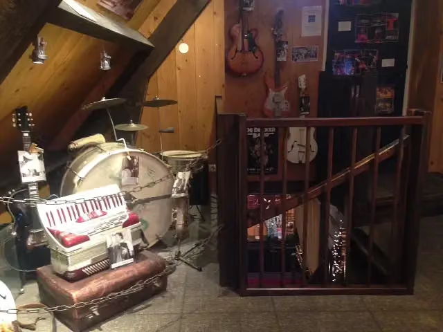
Palingsoundmuseum
Museum
i
Photo: happy days photos and art · Wikimedia Commons · CC BY 2.0View the photo on Wikimedia CommonsMuseum
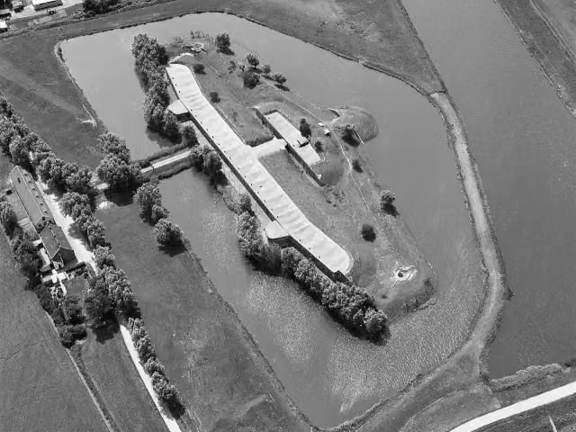 Story
i
Photo: Capital Press Schiphol (Fotograaf) · Wikimedia Commons · CC BY-SA 4.0View the photo on Wikimedia Commons
Fort
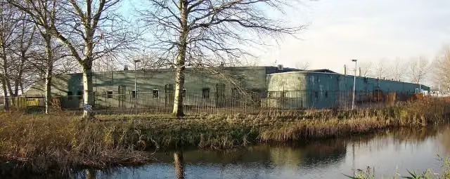 Story
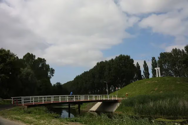
i
Photo: Defence Line Amsterdam from Different city's, Netherlands · Wikimedia Commons · CC BY 2.0View the photo on Wikimedia CommonsFort
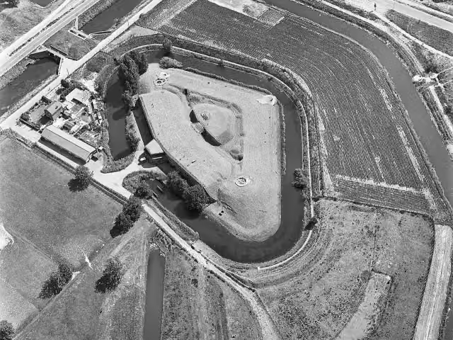 Story
i
Photo: Capital Press Schiphol (Fotograaf) · Wikimedia Commons · CC BY-SA 4.0View the photo on Wikimedia Commons
Stages (22)
- 1Stage 117.6 km
- 2Stage 220.1 km
- 3Stage 313.1 km
- 4Stage 413.9 km
- 5Stage 512 km
- 6Stage 617.3 km
- 7Stage 717.1 km
- 8Stage 813.1 km
- 9Stage 918.3 km
- 10Waterliniepad 09aWater Line Trail 09a5 km
- 11Stage 1016.6 km
- 12Stage 1118.9 km
- 13Stage 1220 km
- 14Stage 1312.8 km
- 15Stage 1414.3 km
- 16Stage 1514.7 km
- 17Stage 1619.3 km
- 18Stage 1713.4 km
- 19Stage 1820.7 km
- 20Stage 1919.1 km
- 21Stage 2014.3 km
- 22Stage 2112.8 km
Elevation and terrain
Way types
344.4 km in total- Road: 126.8 km
- Path: 75.9 km
- Cycleway: 60.3 km
- Footpath: 29.2 km
- Street: 24.1 km
- Track: 20.5 km
- Stairs: 48 stairs
- Busy road: 634 m
- Unknown: 3.7 km
Surfaces
344.4 km in total- Asphalt: 135.4 km
- Natural: 63.8 km
- Paved: 33 km
- Gravel: 17 km
- Unpaved: 7.9 km
- Unknown: 86.1 km
About the walking route Waterliniepad
Updated on 6 November 2026, with data from OpenStreetMap and the AHN.
Where do you walk?
Waterliniepad is a walking route of 344.4 km that starts in Edam-Volendam. It does not end where it starts. You start in Volendam and finish in Dordrecht.
How hard is the route?
There are 48 flights of steps along the way. Allow ± 3:30 h per stage, without breaks. Per stage the level is moderate.
What paths do you walk on?
The longest part is road (126.8 km), path (75.9 km) and cycleway (60.3 km). Of the surface, 135.4 km asphalt and 63.8 km natural. For 86.1 km the surface is not known.
Pitstops along the way
Within 100 metres of the route there are 1,004 benches and picnic tables, 20 water fountains and refill points, 20 public toilets, 2 bike pumps and 1 food stand. The Outdoor Pitstop app navigates you there.
The Waterliniepad follows two old lines of defence from Volendam to Dordrecht: first the Defence Line of Amsterdam in a wide arc around the city, then, from Weesp, the New Dutch Waterline past Utrecht and Gorinchem. Along the way you pass dozens of forts, such as Fort bij Hoofddorp, Fort Vechten and Fort Honswijk, and walk through the fortified towns of Naarden and Gorinchem. The path crosses five provinces and is waymarked in both directions with white and red signs.
Source: Wikipedia (CC BY-SA)
Walks nearby
6Sights nearby
Within 10 km of the route, best known first.
- 1
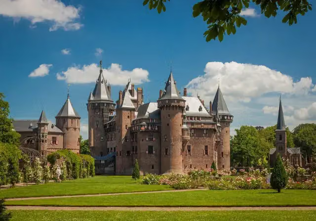 Kasteel de HaarAttraction · 3.9 km from the route
- 2
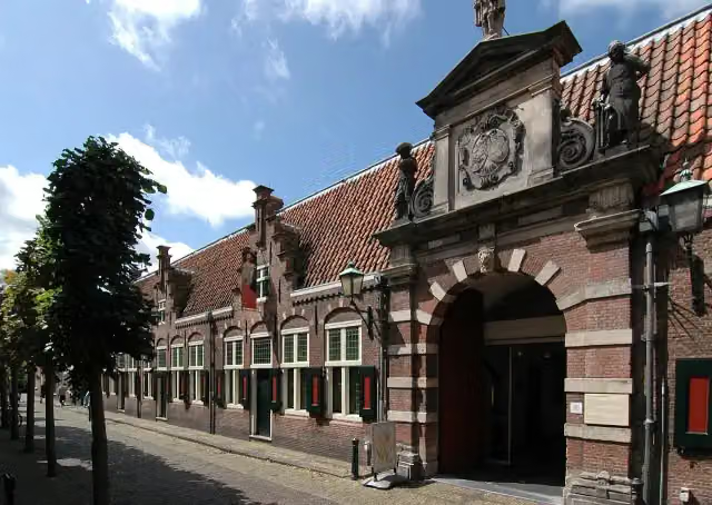 Frans Hals MuseumMuseum · 2.6 km from the route
- 3
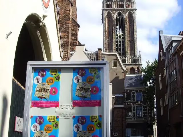 Museum SpeelklokMuseum · 1.4 km from the route
- 4
 Teylers MuseumMuseum · 2.3 km from the route
- 5
 Zaans MuseumMuseum · 5.3 km from the route
- 6
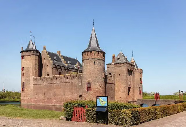 MuiderslotMuseum · 137 m from the route
- 7
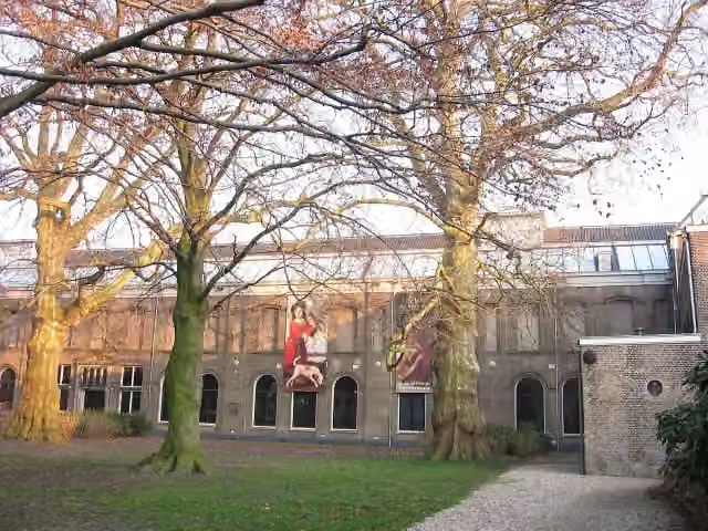 Dordrechts MuseumMuseum · 321 m from the route
- 8
 Museum CatharijneconventMuseum · 1.1 km from the route
- 9
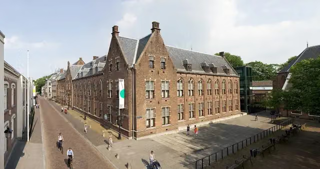 Centraal MuseumMuseum · 1.2 km from the route
- 10
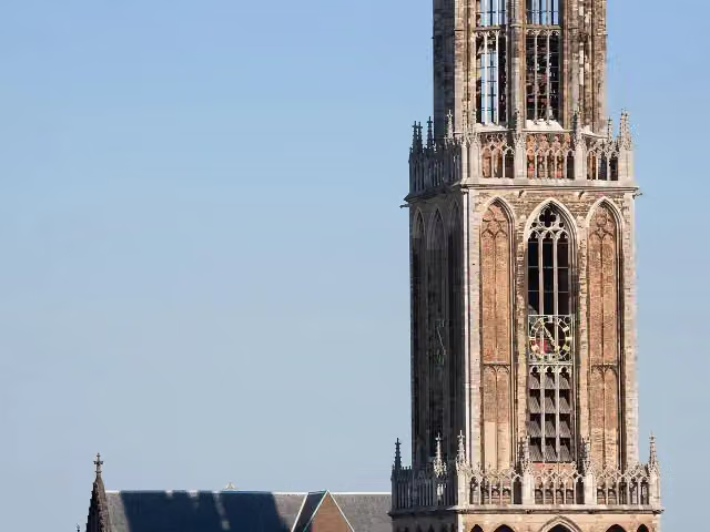 Dom towerAttraction · 1.3 km from the route
- 11
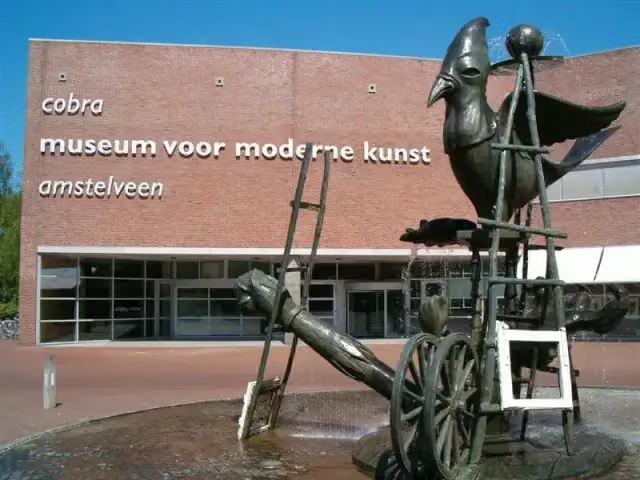 Cobra MuseumMuseum · 5.9 km from the route
- 12
 Corrie ten Boom MuseumMuseum · 2.7 km from the route
- 13
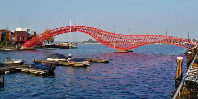 Python BridgeAttraction · 9 km from the route
- 14
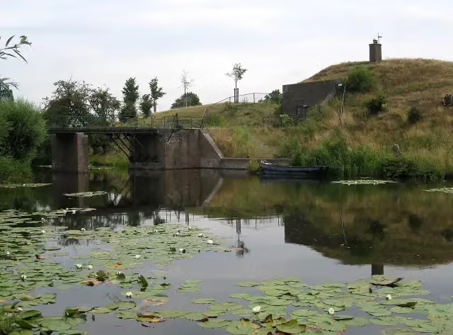 Fort RonduitFort · 300 m from the route
- 15
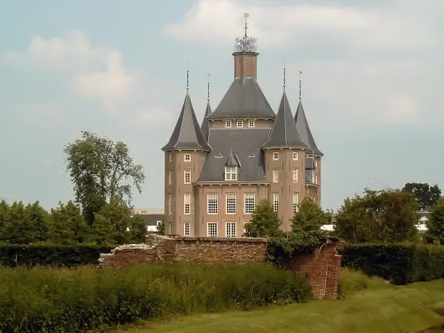 Kasteel HeemstedeCastle · 631 m from the route
- 16
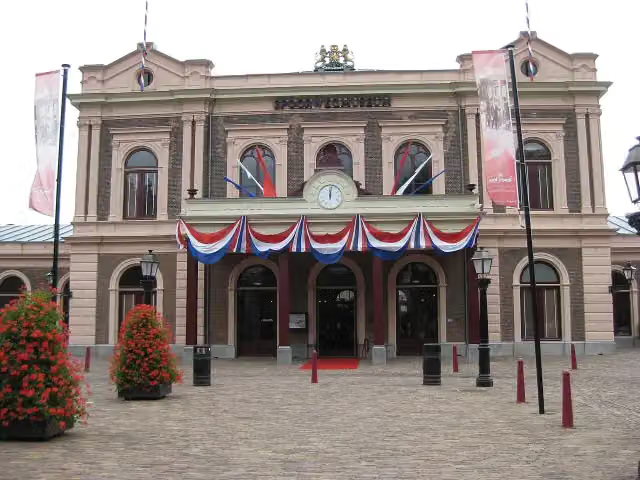 SpoorwegmuseumMuseum · 663 m from the route
- 17
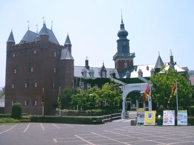 Kasteel NijenrodeCastle · 1.2 km from the route
- 18
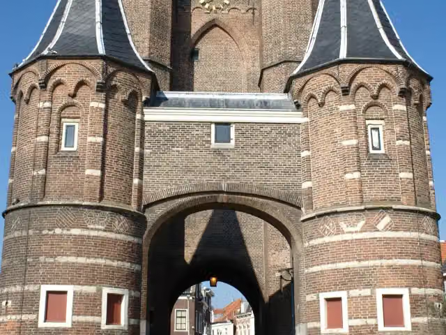 Amsterdamse PoortAttraction · 1.9 km from the route
- 19
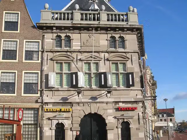 De WaagAttraction · 2.3 km from the route
- 20
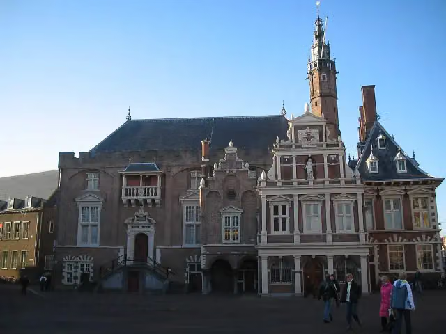 Stadhuis HaarlemAttraction · 2.7 km from the route
- 21
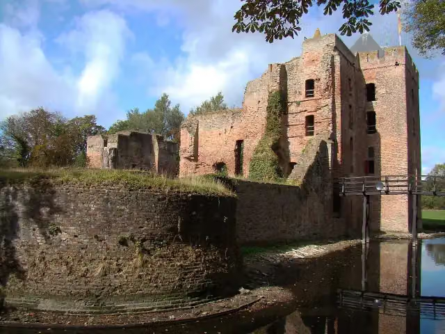 Ruïne van BrederodeAttraction · 3.6 km from the route
- 22
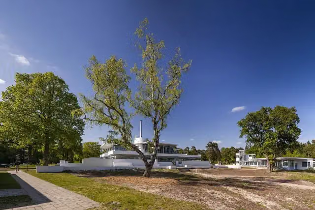 ZonnestraalAttraction · 7.1 km from the route
- 23
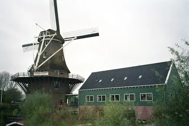 Molen van SlotenAttraction · 8 km from the route
- 24
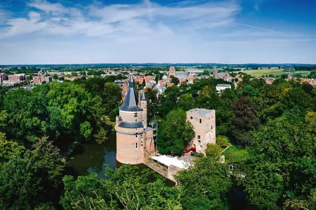 Duurstede CastleCastle · 8.7 km from the route
- 25
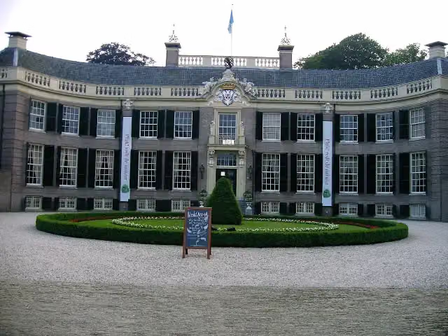 Kasteel GroeneveldMuseum · 9.7 km from the route
Explore more
More walks around Edam-Volendam
Frequently asked questions
How long is Waterliniepad?
Waterliniepad is 344.4 km long, in 22 stages of 15.7 km on average. Allow ± 3:30 h per stage of walking: 4.5 km an hour and 10 minutes more per 100 metres of climbing, without breaks.
Is this route a circular walk?
No, the route runs from Volendam to Dordrecht.
Where does this route start?
The route starts in Edam-Volendam.
How hard is this route?
Moderate per stage.
Are there toilets along this route?
Yes, there are 20 public toilets within 100 m of the route.
Can you fill up with water along this route?
Yes, there are 20 water fountains and refill points within 100 m of the route.
What is there to see along this route?
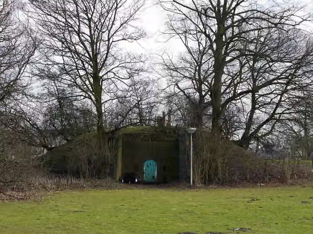
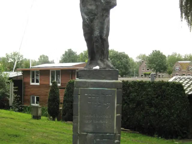
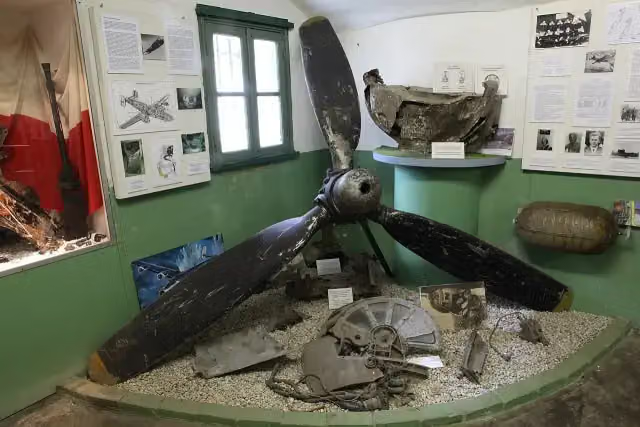
Along the way you pass Palingsoundmuseum, De tochtgenoten - 'Rachel beweent haar kinderen' and Luchtoorlogmuseum Fort Veldhuis.
Starting point
More routes from this place
Route data © OpenStreetMap contributors





