 Outdoor Pitstop
Walking guide South Holland · Updated on 5 November 2026
The best walks in South Holland
South Holland has 209 walks on the Outdoor Pitstop map. The 10 best are 15.3 km long on average; 1 of them is a circular walk. Along the way you find 1,871 benches and picnic tables, 69 water fountains and refill points and 40 public toilets in total.
i
i
i
The 10 best walks
In the order of our score: a photo, points of interest along the way, a toilet or water point, a circular walk, a description and how often people search for the route.
The best walking route in South Holland is Biesboschpad - 05 (12.2 km, moderate).
The numbers on the map are the routes below, at their starting point. Pitstops count up to 100 m from the route. Walking time assumes 4.5 km an hour plus 10 minutes per 100 m of ascent.
- 1
i
Photo: G.Lanting · Wikimedia Commons · CC BY-SA 3.0View the photo on Wikimedia CommonsBiesboschpad - 05
ModerateBiesbosch Trail - 05
12.2 km · ± 2:45 h · ↗ 10 m · From A to B · start Dordrecht
2 public toilets4 water fountains and refill points73 benches and picnic tables
- 2
i
Photo: Tubantia · Wikimedia Commons · CC BY-SA 3.0View the photo on Wikimedia CommonsSingelpark
Easy6.1 km · ± 1:20 h · Circular walk · start Leiden
6 public toilets7 water fountains and refill points185 benches and picnic tables
- 3
i
Photo: Roman Boed from The Netherlands · Wikimedia Commons · CC BY 2.0View the photo on Wikimedia CommonsMarskramerpad - 20
ModeratePedlars' Trail - 20
19.7 km · ± 4:25 h · ↗ 21 m · From A to B · start Wassenaar
0 public toilets5 water fountains and refill points250 benches and picnic tables
- 4
i
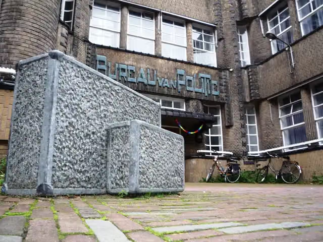
Photo: Jan van Steen · Wikimedia Commons · CC BY-SA 3.0 nlView the photo on Wikimedia CommonsMarskramerpad - 19
ModeratePedlars' Trail - 19
19.2 km · ± 4:15 h · From A to B · start Leiden
4 public toilets9 water fountains and refill points172 benches and picnic tables
- 5
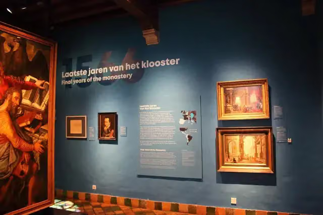
i
Photo: FrDr · Wikimedia Commons · CC BY-SA 4.0View the photo on Wikimedia CommonsGroene Hartpad - 07
ModerateGreen Heart Trail - 07
16 km · ± 3:35 h · ↗ 6 m · From A to B · start Delft
8 public toilets6 water fountains and refill points110 benches and picnic tables
- 6
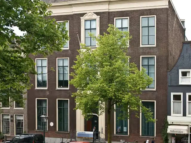
i
Photo: Niels from Amsterdam, NL · Wikimedia Commons · CC BY-SA 2.0View the photo on Wikimedia CommonsRomeinse Limespad - 02
ModerateRoman Limes Trail - 02
11.6 km · ± 2:35 h · From A to B · start Leiden
5 public toilets8 water fountains and refill points200 benches and picnic tables
- 7
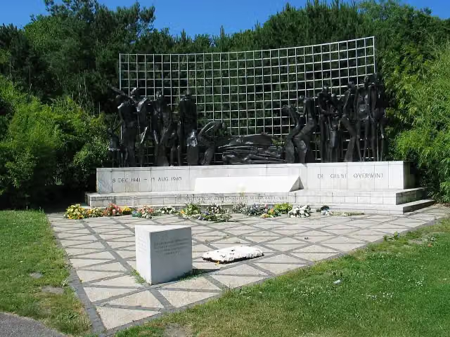
i
Photo: H. de Vegt at nl.wikipedia · Wikimedia Commons · CC BY-SA 3.0View the photo on Wikimedia CommonsNederlands Kustpad deel 2 - 02
ModerateDutch Coastal Trail part 2 - 02
18.4 km · ± 4:15 h · ↗ 88 m · From A to B · start The Hague
4 public toilets12 water fountains and refill points303 benches and picnic tables
- 8
i
Photo: G.Lanting · Wikimedia Commons · CC BY-SA 3.0View the photo on Wikimedia CommonsWaterliniepad - 21
ModerateWater Line Trail - 21
12.8 km · ± 2:50 h · ↗ 6 m · From A to B · start Altena
2 public toilets4 water fountains and refill points73 benches and picnic tables
- 9
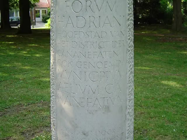
Romeinse Limespad - variant A
ModerateRoman Limes Trail - variant A
16.5 km · ± 3:40 h · ↗ 3 m · From A to B · start Leidschendam-Voorburg
3 public toilets6 water fountains and refill points185 benches and picnic tables
- 10
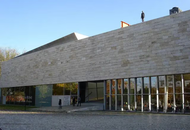
Great Rivers Trail - 20 - Variant Erasmuspad
20.7 km · ± 4:35 h · ↗ 3 m · From A to B · start Albrandswaard
6 public toilets8 water fountains and refill points320 benches and picnic tables
Long-distance paths through South Holland
Walks of several days, in stages.

i
Photo: MartinD · Wikimedia Commons · CC BY-SA 4.0View the photo on Wikimedia Commonsi
Photo: FrDr · Wikimedia Commons · CC BY-SA 4.0View the photo on Wikimedia Commons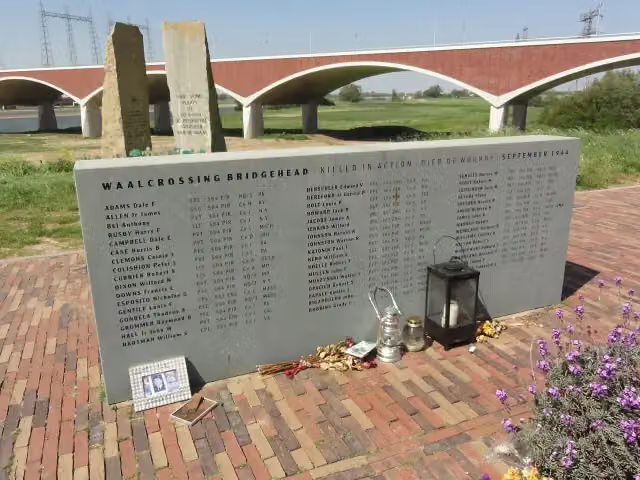
E8
664.3 km · From A to B
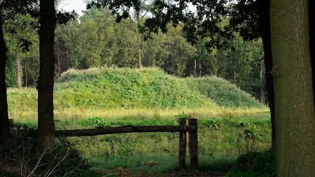
i
Photo: Nokah · Wikimedia Commons · CC BY-SA 3.0 nlView the photo on Wikimedia CommonsEuropean long distance path E2 east
377.9 km · From A to B
i
Photo: Jan van Steen · Wikimedia Commons · CC BY-SA 3.0 nlView the photo on Wikimedia CommonsEuropean long distance path E11
347.7 km · From A to B
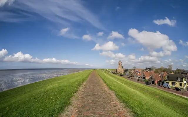
i
Photo: Uberprutser · Wikimedia Commons · CC BY-SA 4.0View the photo on Wikimedia Commons
Points of interest along the walks
Along the 10 best walks.
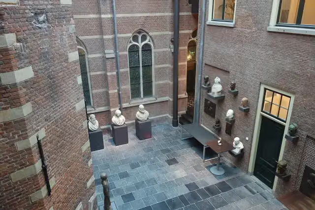
Academisch Historisch Museum
Museum · along 3 walks
 Story
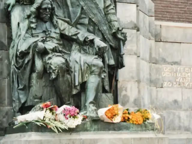
Gebroeders de Witt
Memorial · along 2 walks
 Audio story · 2 min
i
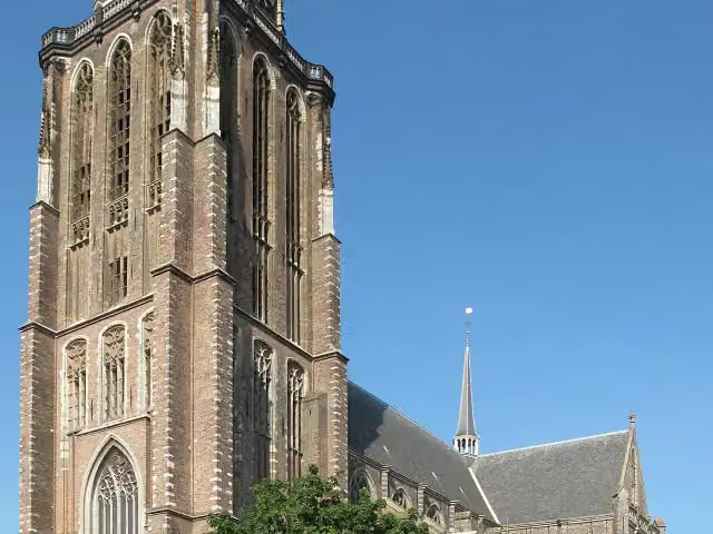
Photo: Michiel Verbeek · Wikimedia Commons · CC BY-SA 3.0View the photo on Wikimedia CommonsGrote of Onze-Lieve-Vrouwekerk
Attraction · along 2 walks
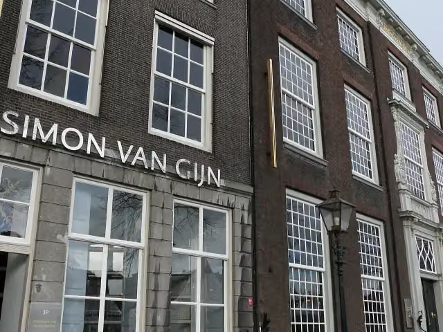
Museum Mr. Simon Van Gijn
Museum · along 2 walks
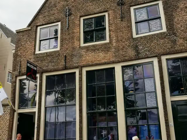
Museum 1940-1945
Museum · along 2 walks
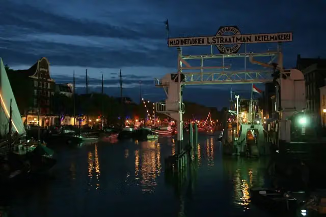
Schroevendok Straatman
Attraction · along 2 walks
 Audio story · 2 min
i
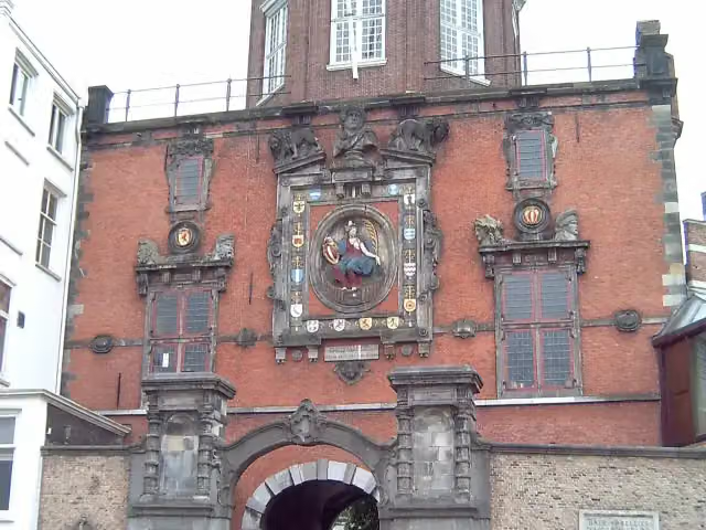
Photo: Wikimedia Commons · Wikimedia Commons · CC BY-SA 3.0View the photo on Wikimedia CommonsGroothoofdspoort
Attraction · along 2 walks
 Audio story · 2 min
i
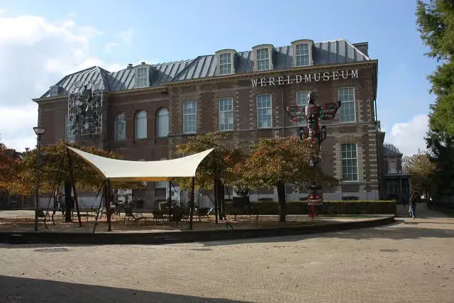
Photo: Sneeuwvlakte · Wikimedia Commons · CC BY-SA 4.0View the photo on Wikimedia CommonsWereldmuseum Leiden
Museum · along 2 walks
Walks per place in South Holland
37 places have their own guide.
- Alblasserdam7 ›
- Albrandswaard7 ›
- Alphen aan den Rijn31 ›
- Barendrecht6 ›
- Bodegraven-Reeuwijk20 ›
- Delft8 ›
- Dordrecht13 ›
- Goeree-Overflakkee19 ›
- Gorinchem7 ›
- Hardinxveld-Giessendam7 ›
- Hoeksche Waard17 ›
- Kaag en Braassem13 ›
- Katwijk8 ›
- Krimpenerwaard30 ›
- Lansingerland6 ›
- Leiden11 ›
- Leidschendam-Voorburg5 ›
- Maassluis15 ›
- Midden-Delfland21 ›
- Molenlanden13 ›
- Nieuwkoop22 ›
- Nissewaard7 ›
- Noordwijk10 ›
- Pijnacker-Nootdorp5 ›
- Ridderkerk5 ›
- Rotterdam34 ›
- Schiedam8 ›
- The Hague12 ›
- Vlaardingen6 ›
- Voorne aan Zee22 ›
- Voorschoten6 ›
- Wassenaar23 ›
- Westland15 ›
- Zoetermeer8 ›
- Zoeterwoude13 ›
- Zuidplas7 ›
- Zwijndrecht7 ›
Explore further
Walks nearby
Frequently asked questions
How many walks are there in South Holland?
The Outdoor Pitstop map has 209 walks in South Holland, including 28 long-distance paths in stages.
What is the best walk in South Holland?
At the top of this guide is Biesboschpad - 05 (12.2 km, moderate). Next come Singelpark and Marskramerpad - 20.
Are there circular walks in South Holland?
Yes, for example Singelpark.
Which walks in South Holland have a toilet along the way?
In this guide, Biesboschpad - 05, Singelpark and Marskramerpad - 19 have a public toilet along the route.
Which long-distance paths run through South Holland?
Among others Biesboschpad, Groene Hartpad (Alle varianten), E8 and European long distance path E2 east run through this area.
Popular nearby
Guides of places nearby





