 Outdoor Pitstop
Walking route · Geertruidenberg · Biesbosch Trail · Updated on 5 November 2026
Biesboschpad walk
Biesboschpad is a walk of 170.5 km from Geertruidenberg that starts and ends at the same spot. Along the way you'll find 284 benches and picnic tables, 11 water fountains and refill points and 7 public toilets.

i
i
i
The route step by step
From start to finish, with what you pass along the way and the distance in between.
- 170.5 km
- ± 3:25 h per stage
- Moderate per stage
- Circular walk
- Regional route
Start in Geertruidenberg
0 km221 m · 2 benches
Water point
221 m654 m · bench
Water point
875 m5.2 km · 5 benches
Public toilet
6.1 km3.7 km · 17 benches
Water point
9.8 km10.4 km · 9 benches
Water point
20.2 km2.8 km · 3 benches
Water point
23 km9.4 km · 21 benches

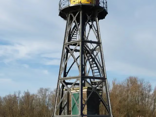
Lichtopstand Strijensas
32.4 kmViewpoint
5.9 km · 14 benches
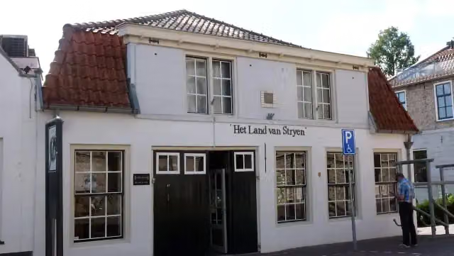
Het Land van Strijen
38.3 kmMuseum
15.9 km · 6 benches
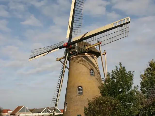
Korenmolen De Lelie
54.2 kmAttraction
14.7 km · 33 benches
Public toilet
68.9 km304 m · 16 benches
2 public toilets and 2 water fountains and refill points
69.2 km686 m · 15 benches
Water point
69.9 km167 m · bench
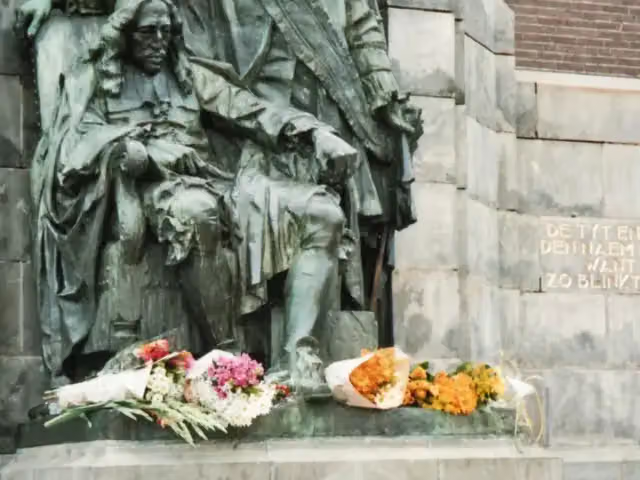
Gebroeders de Witt
70.1 kmMemorial
388 m
Attraction · Audio story · 2 min
215 m · 4 benches
Water point
70.7 km288 m · 5 benches
Museum Mr. Simon Van Gijn and 2 more
71 kmMuseum 1940-1945 and Dirk IV Graaf van Holland
160 m · 6 benches
Schroevendok Straatman
71.1 kmAttraction
404 m · bench
Water point
71.5 km177 m · 2 benches
Groothoofdspoort
71.7 kmAttraction · Audio story · 2 min
3.6 km · 30 benches
Public toilet
75.3 km10.9 km · 19 benches
Public toilet
86.2 km19.3 km · 20 benches
Werk aan de Bakkerskil
105.5 kmFort
10.6 km · 4 benches
Public toilet
116.1 km10.5 km · 6 benches
Water point
126.7 km43.8 km · 44 benches
Back at the start
170.5 km
Longest stretch without a toilet: 62.8 kmBetween 6.1 km and 68.9 km there is no public toilet within 100 m of the route.
The route with the water points, toilets and sights within 100 m of it.
11 sights along the way
In the order you pass them. With the Outdoor Pitstop app you hear their story on the spot. 3 more along the route are on the map.
i
Photo: Willemjans · Wikimedia Commons · CC BY-SA 3.0View the photo on Wikimedia CommonsViewpoint · after 32.4 km
i
Photo: Agaath · Wikimedia Commons · CC BY-SA 4.0View the photo on Wikimedia CommonsMuseum · after 38.3 km
 Story
i
Photo: Quistnix at nl.wikipedia · Wikimedia Commons · CC BY-SA 2.5View the photo on Wikimedia CommonsKorenmolen De Lelie
Attraction · after 54.2 km
 Story
Gebroeders de Witt
Memorial · after 70.1 km
 Audio story · 2 min
i
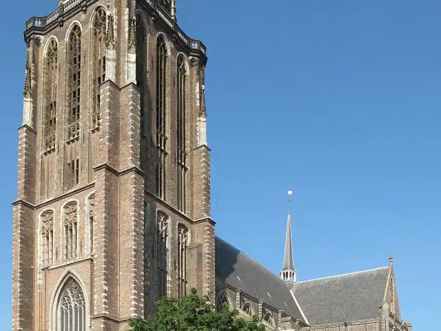
Photo: Michiel Verbeek · Wikimedia Commons · CC BY-SA 3.0View the photo on Wikimedia CommonsGrote of Onze-Lieve-Vrouwekerk
Attraction · after 70.5 km
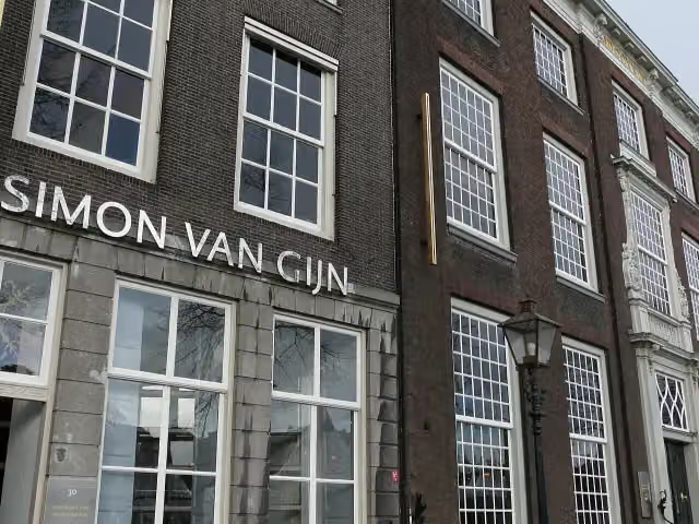
Museum Mr. Simon Van Gijn
Museum · after 71 km
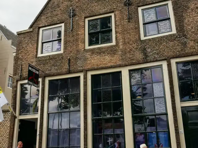
Museum 1940-1945
Museum · after 71 km

Memorial · after 71.1 km
Stages (11)
Elevation and terrain
Way types
170.5 km in total- Road: 62.7 km
- Cycleway: 45.5 km
- Path: 19.4 km
- Street: 14.9 km
- Footpath: 10.2 km
- Track: 10.1 km
- Busy road: 2.2 km
- Stairs: 13 stairs
- Unknown: 4.3 km
Surfaces
170.5 km in total- Asphalt: 79.4 km
- Paved: 22.9 km
- Natural: 19.4 km
- Gravel: 13.8 km
- Unpaved: 375 m
- Unknown: 34.2 km
About the walking route Biesboschpad
Updated on 5 November 2026, with data from OpenStreetMap and the AHN.
Where do you walk?
Biesboschpad is a circular walk of 170.5 km from Geertruidenberg: it starts and ends in the same place. Along the way you pass Lichtopstand Strijensas (after 32.4 km), Het Land van Strijen (after 38.3 km) and Korenmolen De Lelie (after 54.2 km).
How hard is the route?
There are 13 flights of steps along the way. Allow ± 3:25 h per stage, without breaks. Per stage the level is moderate.
What paths do you walk on?
The longest part is road (62.7 km), cycleway (45.5 km) and path (19.4 km). Of the surface, 79.4 km asphalt and 22.9 km paved. For 34.2 km the surface is not known.
Pitstops along the way
Within 100 metres of the route there are 284 benches and picnic tables, 11 water fountains and refill points and 7 public toilets. The longest stretch without a toilet is 62.8 km. The Outdoor Pitstop app navigates you there.
Walks nearby
6- Wandelroute Canadese Bevrijders etappe 6: Lage Zwaluwe-GeertruidenbergHard · From A to B21.7 km
- Zuiderwaterlinie etappe 7: Oosterhout – via Geertruidenberg - RaamsdonkHard · From A to B22 km
- Wandelroute Canadese Bevrijders etappe 7: Geertruidenberg-Sprang-CapelleHard · From A to B27.7 km
- Zuiderwaterlinie etappe 8: Raamsdonk - DrunenHard · From A to B23.1 km
- Biesboschpad - Dagwandeling OostwaardpadHard · Circular walk20.7 km
- Grensdijkjespad - 7 - Klein Dongen - OosterhoutModerate · From A to B11.2 km
Sights nearby
Within 10 km of the route, best known first.
- 1
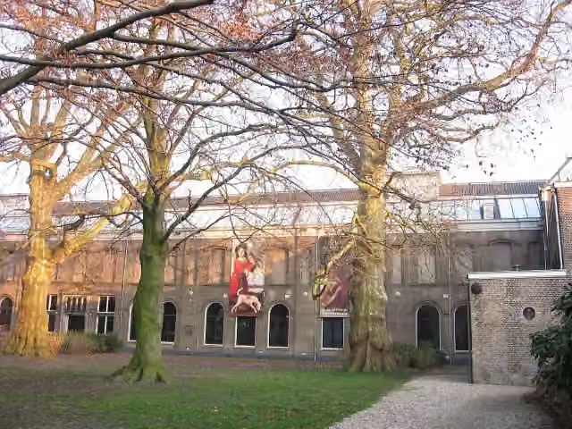 Dordrechts MuseumMuseum · 321 m from the route
- 2
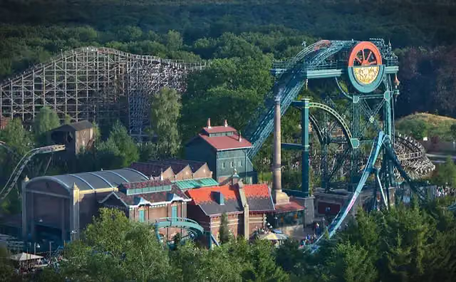 Baron 1898Attraction · 3.7 km from the route
- 3
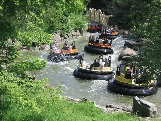 PirañaAttraction · 3.8 km from the route
- 4
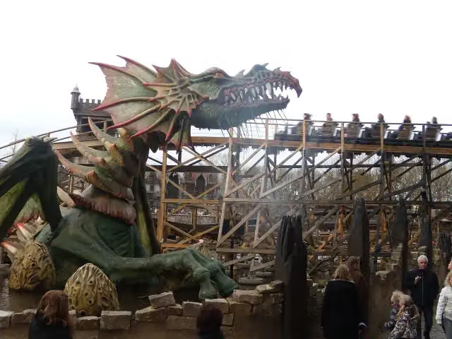 Joris en de DraakAttraction · 3.9 km from the route
- 5
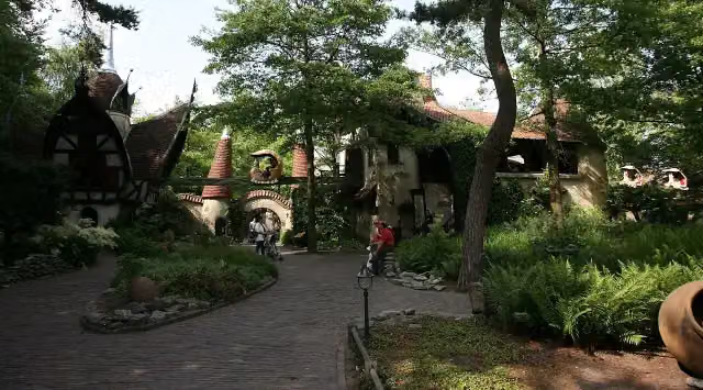 Volk van LaafAttraction · 3.1 km from the route
- 6
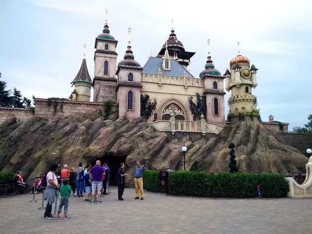 SymbolicaAttraction · 3.5 km from the route
- 7
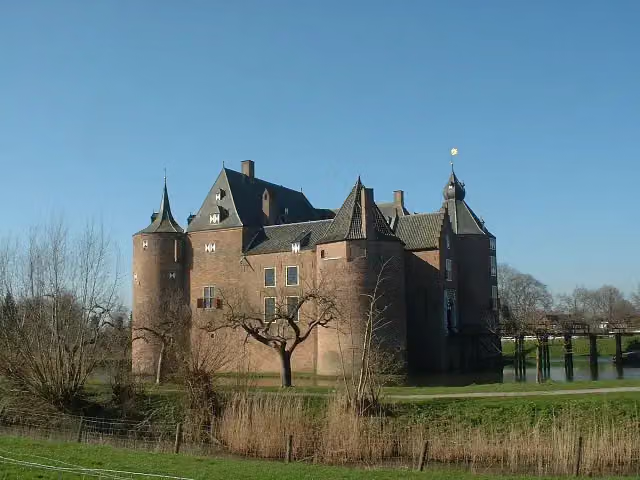 Ammersoyen CastleAttraction · 9.4 km from the route
- 8
 AquanuraAttraction · 3.6 km from the route
- 9
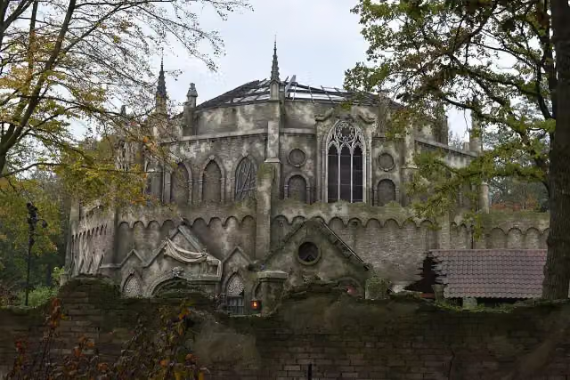 Danse MacabreAttraction · 3.6 km from the route
- 10
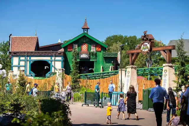 Max & MoritzAttraction · 3.7 km from the route
- 11
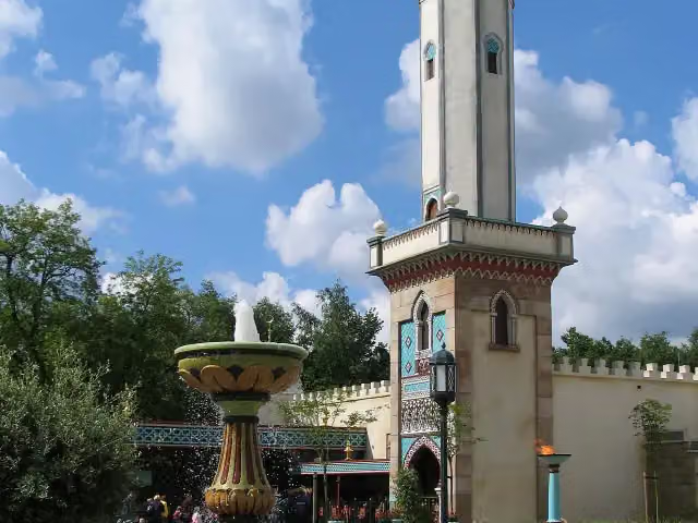 Fata MorganaAttraction · 3.7 km from the route
- 12
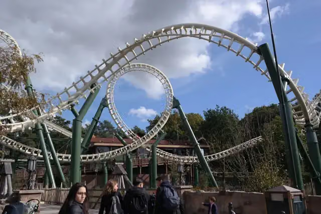 PythonAttraction · 3.9 km from the route
- 13
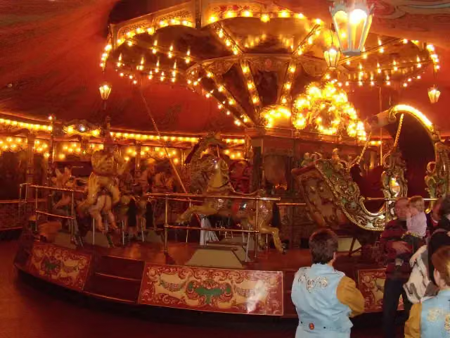 StoomcarrouselAttraction · 3.4 km from the route
- 14
 SiroccoAttraction · 3.4 km from the route
- 15
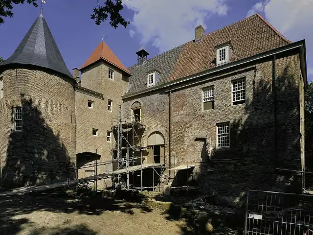 Kasteel NederhemertCastle · 5.5 km from the route
- 16
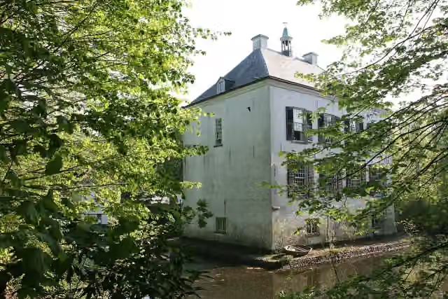 Het Witte KasteelCastle · 6.7 km from the route
- 17
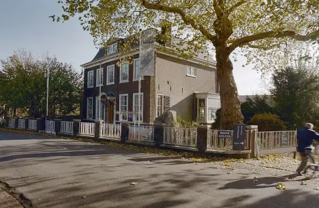 Nationaal BaggermuseumMuseum · 2.6 km from the route
- 18
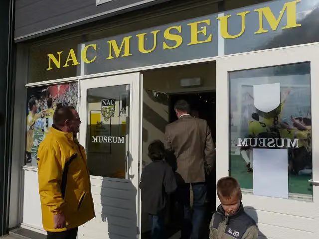 NAC MuseumMuseum · 9.7 km from the route
- 19
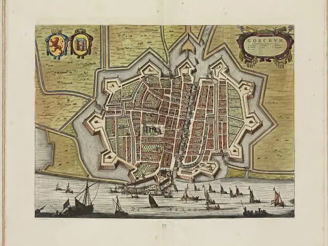 Vesting GorinchemCastle · 4.9 km from the route
- 20
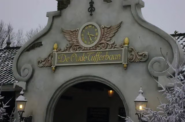 De Oude TufferbaanAttraction · 3.7 km from the route
- 21
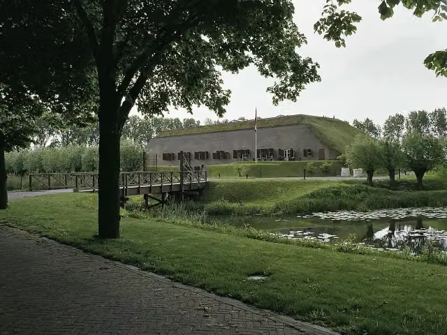 Fort bij het SteurgatFort · 132 m from the route
- 22
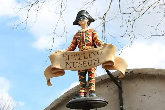 Efteling MuseumMuseum · 3.3 km from the route
- 23
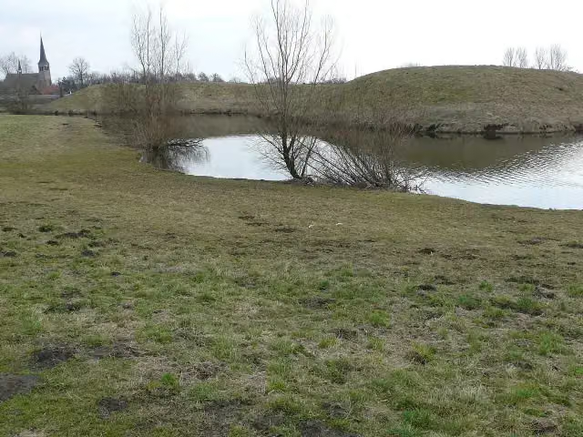 Kleine SchansFort · 4.1 km from the route
- 24
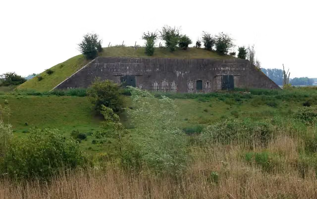 Batterij onder BrakelFort · 10 km from the route
- 25
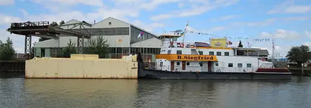 BinnenvaartmuseumMuseum · 123 m from the route
Explore more
Frequently asked questions
How long is Biesboschpad?
Biesboschpad is 170.5 km long, in 11 stages of 15.5 km on average. Allow ± 3:25 h per stage of walking: 4.5 km an hour and 10 minutes more per 100 metres of climbing, without breaks.
Is this route a circular walk?
Yes, the route starts and ends at the same spot.
Where does this route start?
The route starts in Geertruidenberg.
How hard is this route?
Moderate per stage.
Are there toilets along this route?
Yes, there are 7 public toilets within 100 m of the route. The longest stretch without a toilet is 62.8 km.
Can you fill up with water along this route?
Yes, there are 11 water fountains and refill points within 100 m of the route.
What is there to see along this route?
Along the way you pass Lichtopstand Strijensas, Het Land van Strijen and Korenmolen De Lelie.
Starting point
More routes from this place
Route data © OpenStreetMap contributors





