 Outdoor Pitstop
Walking guide Albrandswaard · Updated on 6 November 2026
The best walks in Albrandswaard
Albrandswaard has 7 walks on the Outdoor Pitstop map. The 4 best are 15.3 km long on average. Along the way you'll find 414 benches and picnic tables, 9 water fountains and refill points and 10 public toilets in total.
i
i
The 4 best walks in Albrandswaard
The best walking route in Albrandswaard by our score is Grote Rivierenpad - 20 - Variant Erasmuspad: 20.7 km, from A to B, start Albrandswaard, hard.
In the order of our score: a photo, points of interest along the way, a toilet or water point, a circular walk, a description and how often people search for the route.
The numbers on the map are the routes below, at their starting point. Pitstops count up to 100 m from the route. Walking time assumes 4.5 km an hour plus 10 minutes per 100 m of ascent.
- 1
Great Rivers Trail - 20 - Variant Erasmuspad
20.7 km · ± 4:35 h · ↗ 3 m · From A to B · start Albrandswaard
6 public toilets8 water fountains and refill points320 benches and picnic tables
- 2
i
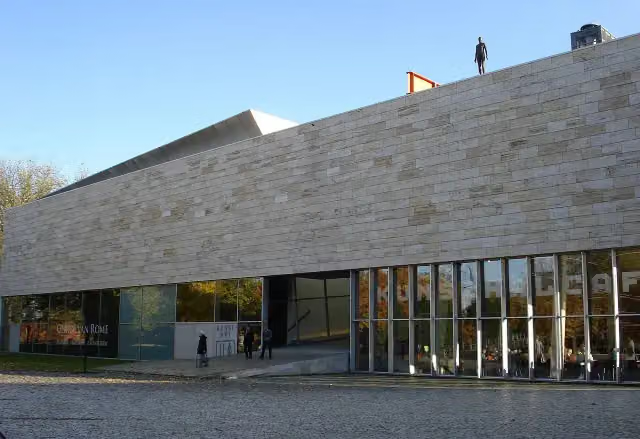
Photo: Hans Wortel · Wikimedia Commons · CC BY-SA 2.5View the photo on Wikimedia CommonsGrote Rivierenpad - 4
ModerateGreat Rivers Trail - 4
18.1 km · ± 4:00 h · From A to B · start Albrandswaard
3 public toilets1 water point52 benches and picnic tables
- 3
i
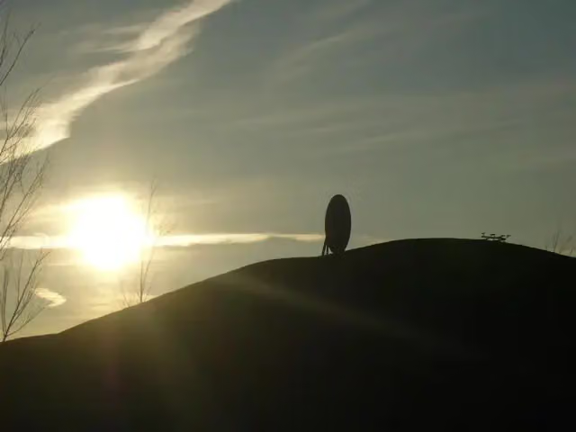
Photo: S078 · Wikimedia Commons · CC BY-SA 4.0View the photo on Wikimedia CommonsAround the island, the shoreline walk
7.5 km · ± 1:40 h · ↗ 3 m · From A to B · start Hoeksche Waard
1 public toilet0 water fountains and refill points8 benches and picnic tables
- 4
Grote Rivierenpad - 3
ModerateGreat Rivers Trail - 3
14.9 km · ± 3:20 h · ↗ 20 m · From A to B · start Nissewaard
0 public toilets0 water fountains and refill points34 benches and picnic tables
All 2 walks from Albrandswaard, A to Z
Long-distance paths through Albrandswaard
Walks of several days, in stages.
E8
664.3 km · From A to B
European long distance path E8 - part Netherlands
638.4 km · From A to B
Points of interest along the walks
Along the 4 best walks.
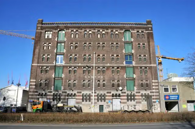 Audio story · 2 min
i
Photo: FaceMePLS from The Hague, The Netherlands · Wikimedia Commons · CC BY 2.0View the photo on Wikimedia CommonsNederlands Fotomuseum
Museum · along 1 walk
Villa Zebra
Museum · along 1 walk
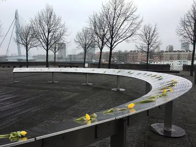 Story
Joods Kindermonument
Memorial · along 1 walk
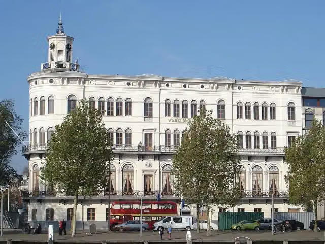 Audio story · 2 min
i
Photo: F.Eveleens · Wikimedia Commons · CC BY 3.0View the photo on Wikimedia CommonsWereldmuseum Rotterdam
Museum · along 1 walk
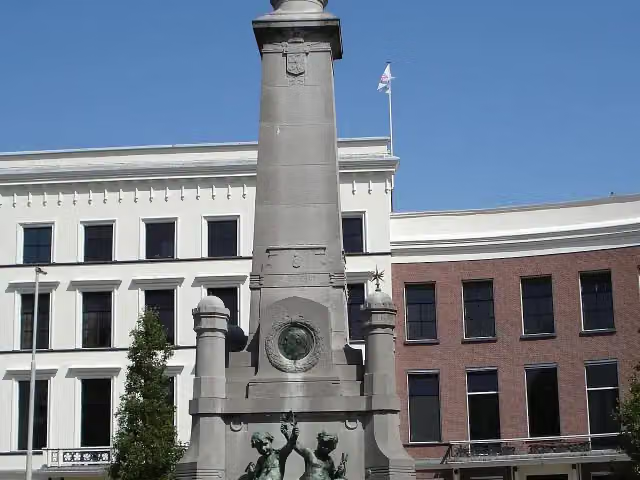 Story
Calandmonument
Monument · along 1 walk
- Audio story · 2 min
KunstHAL
Museum · along 1 walk
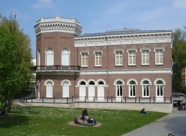 Audio story · 2 min
Natuurhistorisch Museum Rotterdam
Museum · along 1 walk
 Audio story · 2 min
i
Photo: Rob Oo · Wikimedia Commons · CC BY 2.0View the photo on Wikimedia CommonsDepot Boijmans Van Beuningen
Museum · along 1 walk
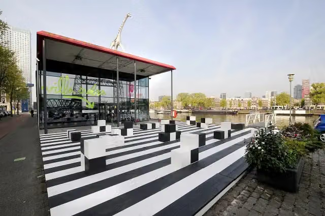
Walks per place in South Holland
36 places have their own guide.
- Alblasserdam7 ›
- Alphen aan den Rijn31 ›
- Barendrecht6 ›
- Bodegraven-Reeuwijk20 ›
- Delft8 ›
- Dordrecht13 ›
- Goeree-Overflakkee19 ›
- Gorinchem7 ›
- Hardinxveld-Giessendam7 ›
- Hoeksche Waard17 ›
- Kaag en Braassem13 ›
- Katwijk8 ›
- Krimpenerwaard30 ›
- Lansingerland6 ›
- Leiden11 ›
- Leidschendam-Voorburg5 ›
- Maassluis15 ›
- Midden-Delfland21 ›
- Molenlanden13 ›
- Nieuwkoop22 ›
- Nissewaard7 ›
- Noordwijk10 ›
- Pijnacker-Nootdorp5 ›
- Ridderkerk5 ›
- Rotterdam34 ›
- Schiedam8 ›
- The Hague12 ›
- Vlaardingen6 ›
- Voorne aan Zee22 ›
- Voorschoten6 ›
- Wassenaar23 ›
- Westland15 ›
- Zoetermeer8 ›
- Zoeterwoude13 ›
- Zuidplas7 ›
- Zwijndrecht7 ›
Explore further
Frequently asked questions
How many walks are there in Albrandswaard?
The Outdoor Pitstop map has 7 walks in Albrandswaard, including 3 long-distance paths in stages.
What is the best walk in Albrandswaard?
At the top of this guide is Grote Rivierenpad - 20 - Variant Erasmuspad (20.7 km, hard). Next come Grote Rivierenpad - 4 and Het eiland rond, de oeverloop.
Which walks in Albrandswaard have a toilet along the way?
In this guide, Grote Rivierenpad - 20 - Variant Erasmuspad, Grote Rivierenpad - 4 and Het eiland rond, de oeverloop have a public toilet along the route.
Which long-distance paths run through Albrandswaard?
Among others E8, European long distance path E8 - part Netherlands and Grote Rivierenpad - Hoofdroute run through this area.
Popular nearby
Guides of places nearby





