 Outdoor Pitstop
Walking guide Wassenaar · Updated on 5 November 2026
The best walks in Wassenaar
Wassenaar has 23 walks on the Outdoor Pitstop map. The 10 best are 10.1 km long on average; 6 of them are circular walks. Along the way you find 832 benches and picnic tables, 41 water fountains and refill points and 5 public toilets in total.
i
i
The 10 best walks
In the order of our score: a photo, points of interest along the way, a toilet or water point, a circular walk, a description and how often people search for the route.
The best walking route in Wassenaar is Marskramerpad - 20 (19.7 km, moderate).
The numbers on the map are the routes below, at their starting point. Pitstops count up to 100 m from the route. Walking time assumes 4.5 km an hour plus 10 minutes per 100 m of ascent.
- 1
i
Photo: Roman Boed from The Netherlands · Wikimedia Commons · CC BY 2.0View the photo on Wikimedia CommonsMarskramerpad - 20
ModeratePedlars' Trail - 20
19.7 km · ± 4:25 h · ↗ 21 m · From A to B · start Wassenaar
0 public toilets5 water fountains and refill points250 benches and picnic tables
- 2
i
Photo: Jan van Steen · Wikimedia Commons · CC BY-SA 3.0 nlView the photo on Wikimedia CommonsMarskramerpad - 19
ModeratePedlars' Trail - 19
19.2 km · ± 4:15 h · From A to B · start Leiden
4 public toilets9 water fountains and refill points172 benches and picnic tables
- 3
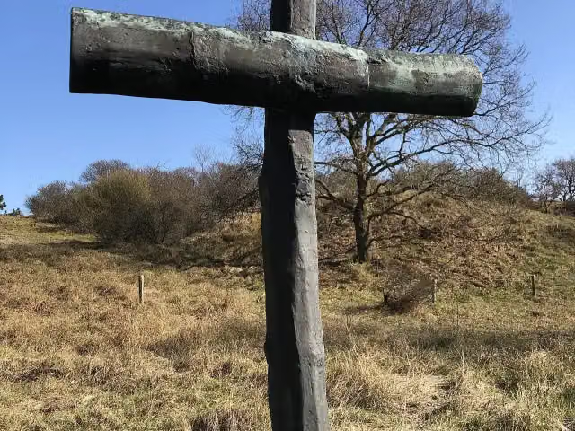
NS-wandeling Meijendel
ModerateNS walk Meijendel
13.4 km · ± 3:00 h · ↗ 30 m · From A to B · start The Hague
0 public toilets7 water fountains and refill points114 benches and picnic tables
- 4
i
Photo: Roman Boed from The Netherlands · Wikimedia Commons · CC BY 2.0View the photo on Wikimedia CommonsDutch Coastal Trail part 2 - 03
23.1 km · ± 5:15 h · ↗ 63 m · From A to B · start The Hague
1 public toilet15 water fountains and refill points172 benches and picnic tables
- 5
2.1 km · ± 30 min · ↗ 8 m · Circular walk · start Wassenaar
0 public toilets2 water fountains and refill points4 benches and picnic tables
- 6
i
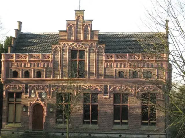
Photo: Goodness Shamrock · Wikimedia Commons · CC BY-SA 3.0View the photo on Wikimedia CommonsRood
EasyRed
7.3 km · ± 1:40 h · Circular walk · start Wassenaar
0 public toilets0 water fountains and refill points16 benches and picnic tables
- 7
i
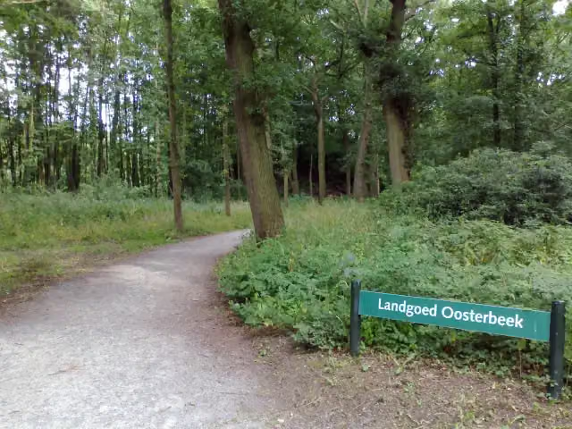
Photo: OSeveno · Wikimedia Commons · CC BY-SA 3.0View the photo on Wikimedia CommonsYellow walking route Clingendael
3.7 km · ± 50 min · Circular walk · start Wassenaar
0 public toilets1 water point62 benches and picnic tables
- 8
i
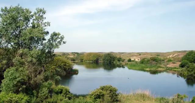
Photo: Marianne Cornelissen-Kuyt · Wikimedia Commons · CC BY-SA 4.0View the photo on Wikimedia CommonsStrandroute
EasyBeach Route
4.5 km · ± 1:00 h · ↗ 13 m · Circular walk · start Wassenaar
0 public toilets1 water point18 benches and picnic tables
- 9
i
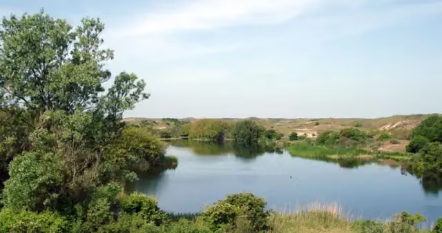
Photo: Marianne Cornelissen-Kuyt · Wikimedia Commons · CC BY-SA 4.0View the photo on Wikimedia CommonsEikenroute
EasyOak Route
3 km · ± 40 min · ↗ 10 m · Circular walk · start Wassenaar
0 public toilets1 water point15 benches and picnic tables
- 10
i
Photo: Goodness Shamrock · Wikimedia Commons · CC BY-SA 3.0View the photo on Wikimedia CommonsBlauw
EasyBlue
4.6 km · ± 1:00 h · Circular walk · start Wassenaar
0 public toilets0 water fountains and refill points9 benches and picnic tables
All 15 walks from Wassenaar, A to Z
- Blauw · Blue
- Dunea-oranje wandelroute · Dunea orange walking route
- Eikenroute · Oak Route
- Ganzenhoekwandeling · Ganzenhoek walk
- geel (ingang ingang Papenlaan) · yellow (entrance Papenlaan)
- Gele wandelroute Clingendael · Yellow walking route Clingendael
- Laarzenpad · Wellington Boots Trail
- Marskramerpad - 20 · Pedlars' Trail - 20
- Reeënroute · Roe Deer Route
- Rode wandelroute Clingendael · Red walking route Clingendael
- Rood · Red
- Strandroute · Beach Route
- Tapuit-Kievitsduin
- Waalsdorp '40-'45 route
- wit · white
Long-distance paths through Wassenaar
Walks of several days, in stages.
i
Photo: Jan van Steen · Wikimedia Commons · CC BY-SA 3.0 nlView the photo on Wikimedia CommonsEuropean long distance path E11
347.7 km · From A to B
i
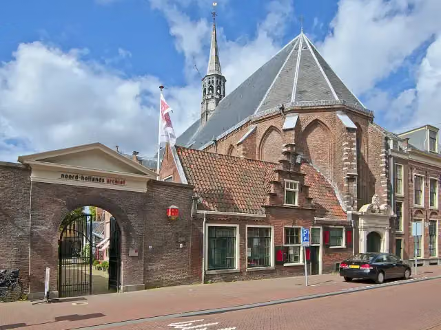
Photo: Akbar Simonse from The Hague · Wikimedia Commons · CC BY-SA 2.0View the photo on Wikimedia Commonsi
Photo: Jan van Steen · Wikimedia Commons · CC BY-SA 3.0 nlView the photo on Wikimedia CommonsEuropean long distance path E11 - Netherlands
347.2 km · From A to B
i
Photo: Mycomzx · Wikimedia Commons · CC BY-SA 3.0 nlView the photo on Wikimedia Commonsi
Photo: Akbar Simonse from The Hague · Wikimedia Commons · CC BY-SA 2.0View the photo on Wikimedia Commons
Points of interest along the walks
Along the 10 best walks.
- Story
i
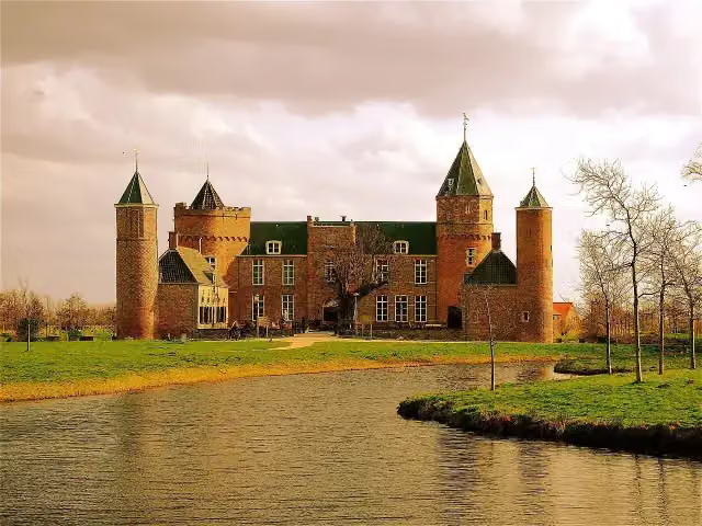
Photo: Goodness Shamrock · Wikimedia Commons · CC BY-SA 3.0View the photo on Wikimedia CommonsTer Horst
Castle · along 3 walks
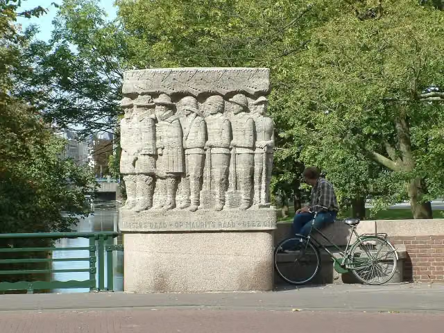
Prins Maurits en de burgers van Den Haag
Memorial · along 2 walks
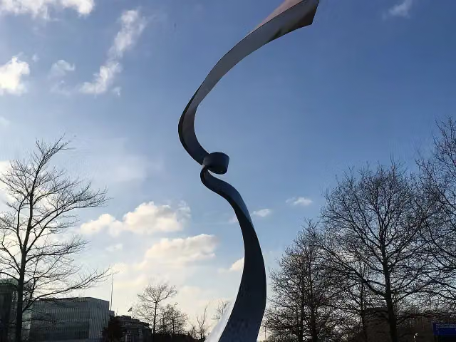 Audio story · 2 min
i
Photo: OSeveno · Wikimedia Commons · CC BY-SA 3.0View the photo on Wikimedia CommonsInternationaal Homomonument
Memorial · along 2 walks
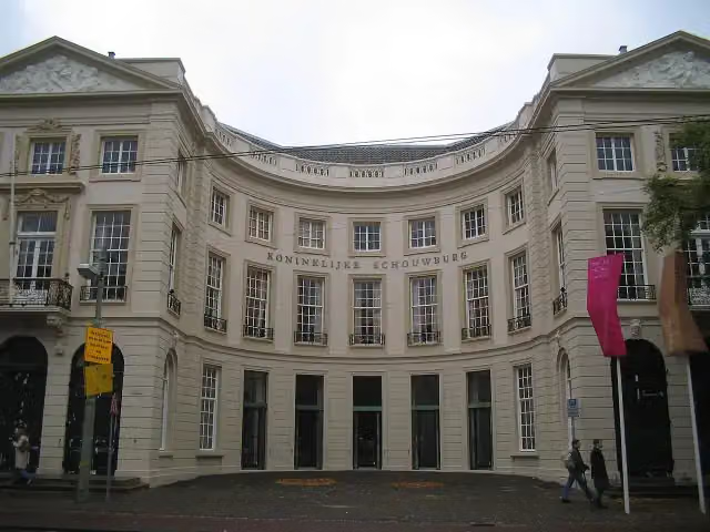 Audio story · 2 min
i
Photo: M.Minderhoud · Wikimedia Commons · CC BY-SA 3.0View the photo on Wikimedia CommonsKoninklijke Schouwburg
Castle · along 2 walks
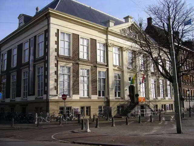 Audio story · 2 min
i
Photo: Pvt pauline · Wikimedia Commons · CC BY 3.0View the photo on Wikimedia CommonsHaags Historisch Museum
Museum · along 2 walks
- Audio story · 2 min
i
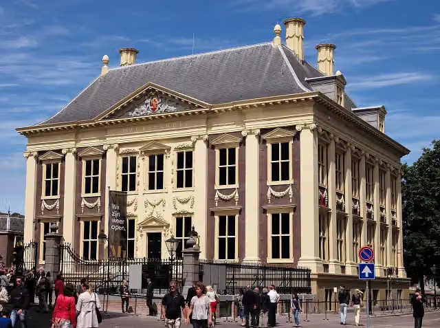
Photo: Roman Boed from The Netherlands · Wikimedia Commons · CC BY 2.0View the photo on Wikimedia CommonsMauritshuis
Castle · along 2 walks
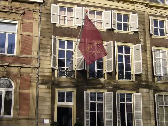 Audio story · 2 min
i
Photo: Pvt pauline · Wikimedia Commons · CC BY-SA 3.0View the photo on Wikimedia CommonsMuseum Bredius
Museum · along 2 walks
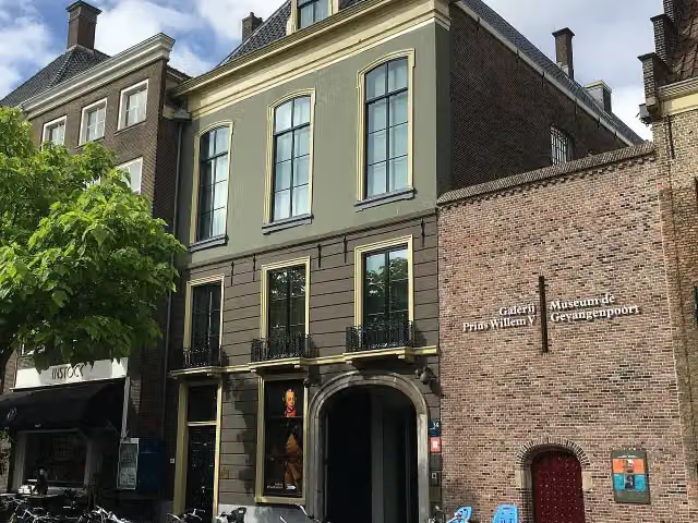 Audio story · 2 min
i
Photo: OSeveno · Wikimedia Commons · CC BY-SA 3.0View the photo on Wikimedia CommonsGalerij Prins Willem V
Museum · along 2 walks
Walks per place in South Holland
36 places have their own guide.
- Alblasserdam7 ›
- Albrandswaard7 ›
- Alphen aan den Rijn31 ›
- Barendrecht6 ›
- Bodegraven-Reeuwijk20 ›
- Delft8 ›
- Dordrecht13 ›
- Goeree-Overflakkee19 ›
- Gorinchem7 ›
- Hardinxveld-Giessendam7 ›
- Hoeksche Waard17 ›
- Kaag en Braassem13 ›
- Katwijk8 ›
- Krimpenerwaard30 ›
- Lansingerland6 ›
- Leiden11 ›
- Leidschendam-Voorburg5 ›
- Maassluis15 ›
- Midden-Delfland21 ›
- Molenlanden13 ›
- Nieuwkoop22 ›
- Nissewaard7 ›
- Noordwijk10 ›
- Pijnacker-Nootdorp5 ›
- Ridderkerk5 ›
- Rotterdam34 ›
- Schiedam8 ›
- The Hague12 ›
- Vlaardingen6 ›
- Voorne aan Zee22 ›
- Voorschoten6 ›
- Westland15 ›
- Zoetermeer8 ›
- Zoeterwoude13 ›
- Zuidplas7 ›
- Zwijndrecht7 ›
Explore further
Frequently asked questions
How many walks are there in Wassenaar?
The Outdoor Pitstop map has 23 walks in Wassenaar, including 5 long-distance paths in stages.
What is the best walk in Wassenaar?
At the top of this guide is Marskramerpad - 20 (19.7 km, moderate). Next come Marskramerpad - 19 and NS-wandeling Meijendel.
Are there circular walks in Wassenaar?
Yes, for example Waalsdorp '40-'45 route, Rood and Gele wandelroute Clingendael.
Which walks in Wassenaar have a toilet along the way?
In this guide, Marskramerpad - 19 and Nederlands Kustpad deel 2 - 03 have a public toilet along the route.
Which long-distance paths run through Wassenaar?
Among others European long distance path E11, Nordsøstien, European long distance path E11 - Netherlands and Nederlands Kustpad deel 2 - Hoofdroute run through this area.
Popular nearby
Guides of places nearby





