 Outdoor Pitstop
Walking route · Oldenzaal · Updated on 5 November 2026
European long distance path E11 - Netherlands walk
European long distance path E11 - Netherlands is a walk of 347.2 km from Oldenzaal. Along the way you'll find 940 benches and picnic tables, 24 water fountains and refill points, 19 public toilets and 2 honesty boxes and farm vending machines.
i
i
i
The route step by step
From start to finish, with what you pass along the way and the distance in between.
- 347.2 km
- ± 4:05 h per stage
- ↑ 325 m · ↓ 362 m
- Moderate per stage
- From A to B
- International route
- Colour of the signs
Start in Oldenzaal
0 km763 m · 6 benches
Public toilet and water point
763 m163 m · 2 benches
Water point
926 m23.2 km · 37 benches

Memorial
42.7 km · 46 benches
Public toilet
66.8 km616 m · 5 benches
2 public toilets
67.4 km20 km · 33 benches
Public toilet
87.4 km16.3 km · 34 benches
2 public toilets
103.6 km819 m · 22 benches
Museum EICAS
104.5 kmWater point
247 m · 2 benches
Water point
104.7 km691 m · 8 benches
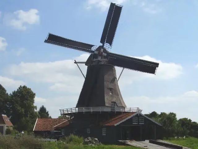
Bolwerksmolen
105.4 kmAttraction
25 km · 34 benches
Verzetsmonument Beekbergen
130.4 kmMemorial
61.9 km · 65 benches
Public toilet
192.3 km19.5 km · 37 benches
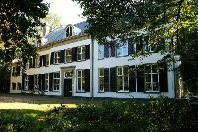
Huize Randenbroek
211.8 kmCastle
1.4 km · 18 benches
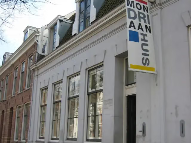
Mondriaanhuis
213.2 kmMuseum · Audio story · 2 min
278 m · bench
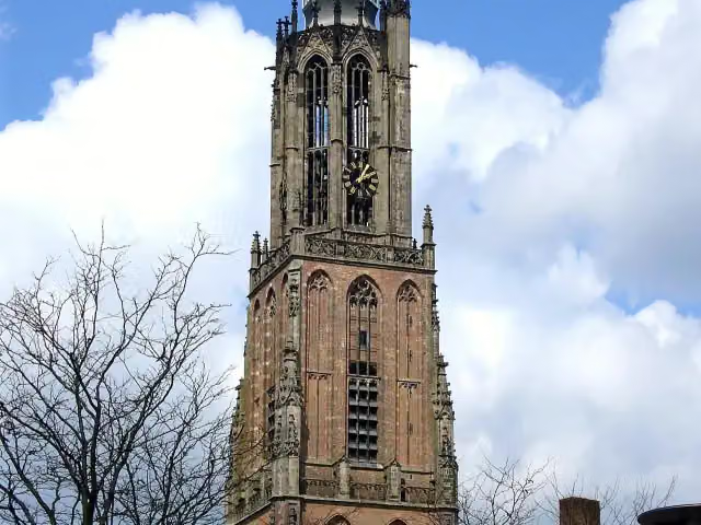
Onze Lieve Vrouwetoren
213.5 kmAttraction · Audio story · 2 min
5.8 km · 49 benches
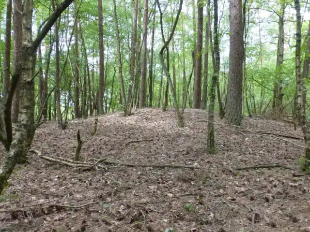
Grafheuvel Monnikenbosch
219.3 kmArchaeological site
14.4 km · 8 benches
Public toilet
233.6 km3.7 km · 2 benches
Water point
237.3 km194 m · 6 benches
Public toilet and water point
237.5 km9.3 km · 17 benches
Public toilet
246.8 km183 m
Public toilet
247 km1.9 km · bench
Fort bij Tienhoven
248.9 kmFort
4.5 km · 14 benches
2 public toilets
253.5 km13.4 km · 5 benches
Public toilet
266.8 km13.6 km · 18 benches
Water point
280.4 km2.5 km
Water point
282.9 km8.1 km · 10 benches
Water point
291 km1.2 km · bench
Water point
292.1 km4.5 km · 22 benches
Food stand
296.6 km
Show the other 33 steps
2 km · 3 benches
Food stand
298.7 km10.9 km · 37 benches
Leiden Castle and 1 more
309.5 kmDe Waag and water point
184 m · 4 benches
Public toilet
309.7 km174 m · 3 benches
Pilgrim Museum and 1 more
309.9 kmPieterskerk
288 m · 19 benches
Academisch Historisch Museum
310.2 kmPublic toilet and water point
1 km · 20 benches
Water point
311.2 km291 m · 11 benches
Bagage
311.5 kmWater point
1.4 km · 9 benches
Water point
312.9 km342 m · 7 benches
Public toilet and water point
313.2 km160 m
Public toilet and water point
313.4 km275 m · bench
Kasteel Cronesteyn
313.6 kmRuins
1.4 km · 7 benches
Water point
315 km3 km · 26 benches
Water point
318.1 km4.1 km · 24 benches
Ter Horst
322.2 kmCastle
13.8 km · 44 benches
Water point
336 km422 m · 11 benches
Louwman Museum
336.4 kmMuseum · Audio story · 2 min
3.3 km · 61 benches
Prins Maurits en de burgers van Den Haag and 1 more
339.8 kmInternationaal Homomonument
439 m · 19 benches
Koninklijke Schouwburg and 2 more
340.2 kmHertog Karel Bernhard van Saksen Weimar Eisenach and Thorbecke-monument
171 m · 3 benches
Haags Historisch Museum and 2 more
340.4 kmMauritshuis and Museum Bredius
172 m · 4 benches
Johan van Oldenbarnevelt and 2 more
340.6 kmJohan de Witt and Galerij Prins Willem V
271 m · 12 benches
Grondwetsherziening van 1848
340.8 kmMemorial
429 m · 21 benches
Escher in Het Paleis
341.3 kmMuseum · Audio story · 2 min
829 m
Museum Sophiahof and 1 more
342.1 kmNationaal Onafhankelijkheidsmonument
432 m · 17 benches
Beeld en Geluid Den Haag
342.5 kmMuseum · Audio story · 2 min
161 m · 4 benches
Vrijmetselarij Museum
342.7 kmMuseum · Audio story · 2 min
158 m · 2 benches
'Haags Verzets- en Bevrijdingsmonument' and 1 more
342.8 kmWorld Peace Flame
223 m · 12 benches
Van Karnebeekbron
343.1 kmMemorial
218 m · 5 benches
Constantyn Huygens
343.3 kmWater point
176 m · bench
Water point
343.5 km788 m · 13 benches
Indisch monument and 1 more
344.2 kmIndische klok
1.1 km · 19 benches
Troelstra Memorial
345.4 kmMonument
559 m · 16 benches
Water point
345.9 km1.3 km · 2 benches
Finish
347.2 kmAt the finish: Oorlogsmonument 'Leger en Vloot' and water point.
Longest stretch without a toilet: 88.7 kmBetween 103.7 km and 192.3 km there is no public toilet within 100 m of the route.
The route with the water points, toilets and sights within 100 m of it.
43 sights along the way
In the order you pass them. With the Outdoor Pitstop app you hear their story on the spot. 35 more along the route are on the map.
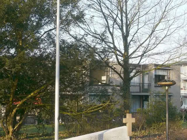
Oorlogsmonument Huize Lidwina
Memorial · after 24.1 km
Museum EICAS
Museum · after 104.5 km
Bolwerksmolen
Attraction · after 105.4 km
 Story
Verzetsmonument Beekbergen
Memorial · after 130.4 km
i
Photo: Kasteelbeer · Wikimedia Commons · CC BY-SA 3.0 nlView the photo on Wikimedia CommonsCastle · after 211.8 km
 Audio story · 2 min
i
Photo: Ciell · Wikimedia Commons · CC BY-SA 2.5View the photo on Wikimedia CommonsMondriaanhuis
Museum · after 213.2 km
 Audio story · 2 min
Onze Lieve Vrouwetoren
Attraction · after 213.5 km
i
Photo: Vaterloader · Wikimedia Commons · CC BY-SA 4.0View the photo on Wikimedia CommonsArchaeological site · after 219.3 km
Stages (19)
- 1Marskramerpad - 2Pedlars' Trail - 217.1 km
- 2Marskramerpad - 3Pedlars' Trail - 317.6 km
- 3Marskramerpad - 4Pedlars' Trail - 421.1 km
- 4Marskramerpad - 5Pedlars' Trail - 511.6 km
- 5Marskramerpad - 6Pedlars' Trail - 617.2 km
- 6Marskramerpad - 7Pedlars' Trail - 719.1 km
- 7Marskramerpad - 8Pedlars' Trail - 817.2 km
- 8Marskramerpad - 9Pedlars' Trail - 920 km
- 9Marskramerpad - 10Pedlars' Trail - 1017.5 km
- 10Marskramerpad - 11Pedlars' Trail - 1118.5 km
- 11Marskramerpad - 12Pedlars' Trail - 1213.6 km
- 12Marskramerpad - 13Pedlars' Trail - 1324.1 km
- 13Marskramerpad - 14Pedlars' Trail - 1418.4 km
- 14Marskramerpad - 15Pedlars' Trail - 1520.5 km
- 15Marskramerpad - 16Pedlars' Trail - 1617.2 km
- 16Marskramerpad - 17Pedlars' Trail - 1716.8 km
- 17Marskramerpad - 18Pedlars' Trail - 1820.9 km
- 18Marskramerpad - 19Pedlars' Trail - 1919.2 km
- 19Marskramerpad - 20Pedlars' Trail - 2019.7 km
Elevation and terrain
- Up
- ↑ 325 m
- Down
- ↓ 362 m
- Highest point
- 89 m
- Lowest point
- -5 m
- 15 stairs
Elevation from AHN (Rijkswaterstaat), smoothed.
Way types
347.2 km in total- Track: 92.4 km
- Road: 81 km
- Path: 63.7 km
- Cycleway: 48.1 km
- Street: 31.6 km
- Footpath: 28.4 km
- Stairs: 15 stairs
- Busy road: 50 m
- Unknown: 125 m
Surfaces
347.2 km in total- Asphalt: 88.4 km
- Natural: 66.6 km
- Gravel: 49.3 km
- Paved: 35.4 km
- Unpaved: 28.7 km
- Unknown: 77.6 km
About the walking route European long distance path E11 - Netherlands
Updated on 5 November 2026, with data from OpenStreetMap and the AHN.
Where do you walk?
European long distance path E11 - Netherlands is a walking route of 347.2 km that starts in Oldenzaal. It does not end where it starts. You start in Scheveningen (NL) and finish in Bad Bentheim (DE). Along the way you pass Oorlogsmonument Huize Lidwina (after 24.1 km), Museum EICAS (after 104.5 km) and Bolwerksmolen (after 105.4 km).
How hard is the route?
You climb 325 m in total and descend 362 m. There are 15 flights of steps along the way. Allow ± 4:05 h per stage, without breaks. Per stage the level is moderate.
What paths do you walk on?
The longest part is track (92.4 km), road (81 km) and path (63.7 km). Of the surface, 88.4 km asphalt and 66.6 km natural. For 77.6 km the surface is not known.
Pitstops along the way
Within 100 metres of the route there are 940 benches and picnic tables, 24 water fountains and refill points, 19 public toilets and 2 honesty boxes and farm vending machines. The longest stretch without a toilet is 88.7 km. The Outdoor Pitstop app navigates you there.
Part of European long distance path E11
Website of the routeSights nearby
Within 10 km of the route, best known first.
- 1
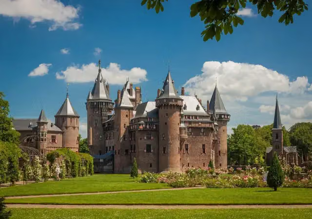 Kasteel de HaarAttraction · 4.7 km from the route
- 2
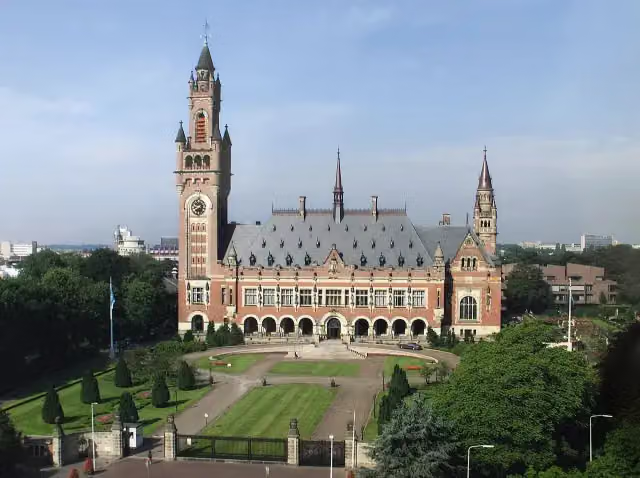 Peace PalaceAttraction · 200 m from the route
- 3
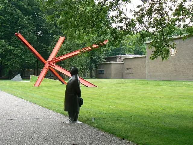 Kröller-Müller MuseumMuseum · 4.7 km from the route
- 4
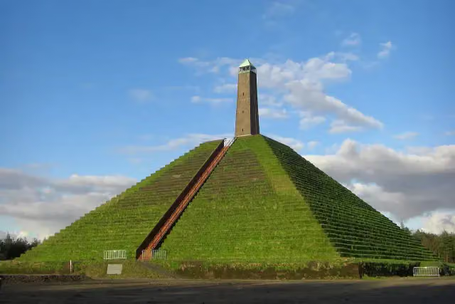 Pyramid of AusterlitzAttraction · 6.3 km from the route
- 5
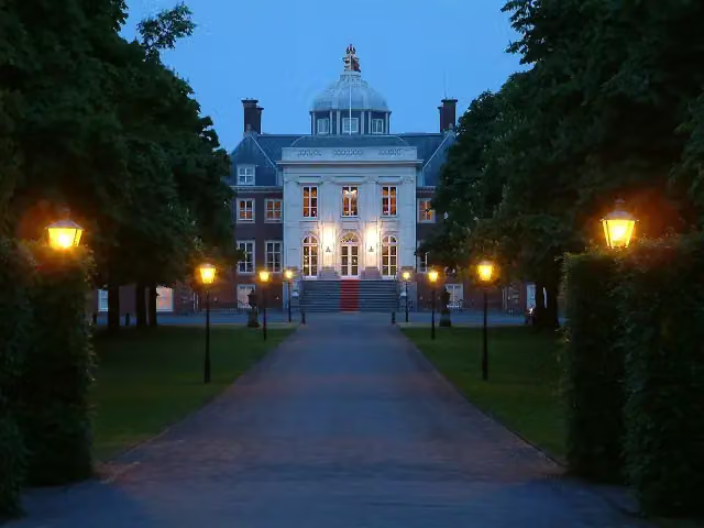 Huis ten BoschCastle · 230 m from the route
- 6
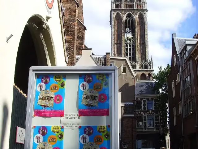 Museum SpeelklokMuseum · 9.1 km from the route
- 7
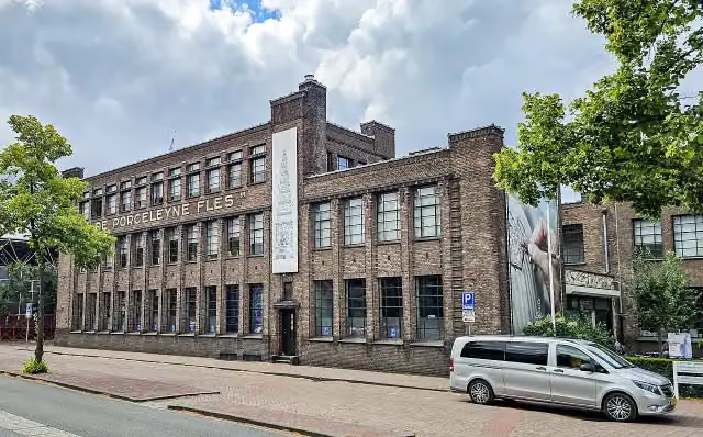 Royal DelftMuseum · 9.5 km from the route
- 8
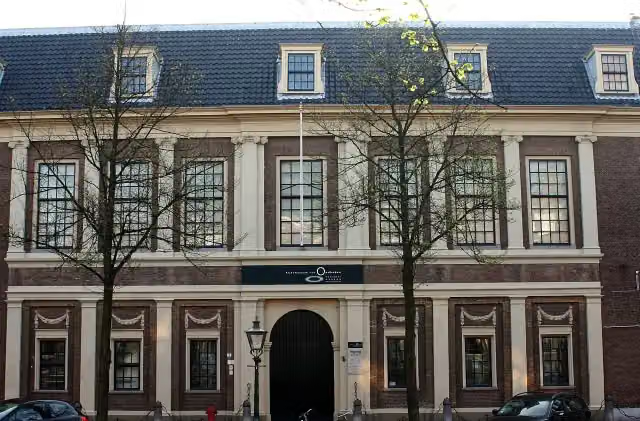 Rijksmuseum van OudhedenMuseum · 104 m from the route
- 9
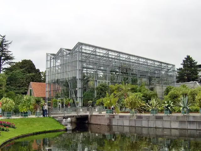 Hortus botanicus LeidenAttraction · 141 m from the route
- 10
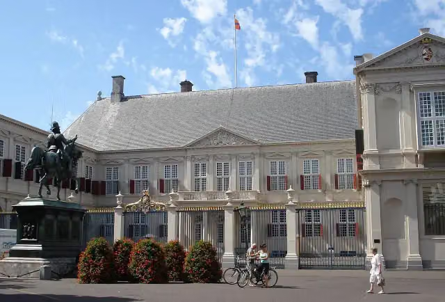 Paleis NoordeindeCastle · 186 m from the route
- 11
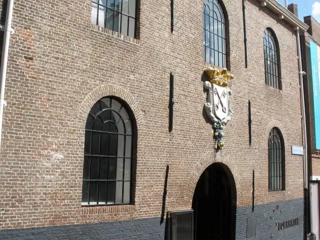 Rijksmuseum BoerhaaveMuseum · 321 m from the route
- 12
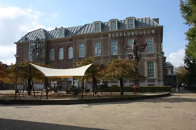 Wereldmuseum LeidenMuseum · 681 m from the route
- 13
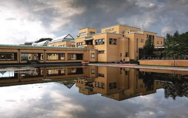 Kunstmuseum Den HaagMuseum · 860 m from the route
- 14
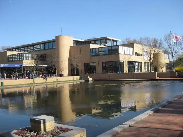 Museon-OmniversumMuseum · 877 m from the route
- 15
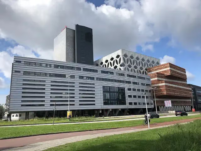 Naturalis Biodiversity CentreMuseum · 1.2 km from the route
- 16
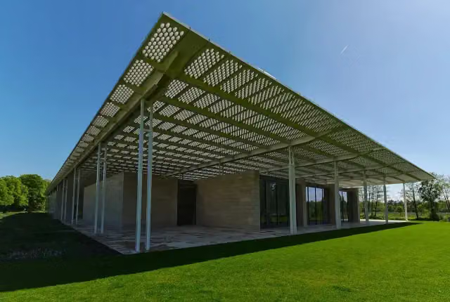 Museum VoorlindenMuseum · 1.3 km from the route
- 17
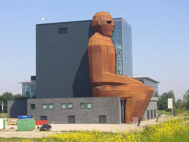 CorpusMuseum · 2.7 km from the route
- 18
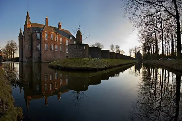 Slot ZuylenCastle · 4.3 km from the route
- 19
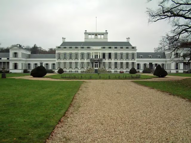 Paleis SoestdijkAttraction · 4.4 km from the route
- 20
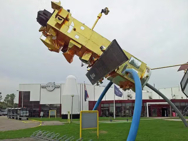 Space ExpoMuseum · 7.8 km from the route
- 21
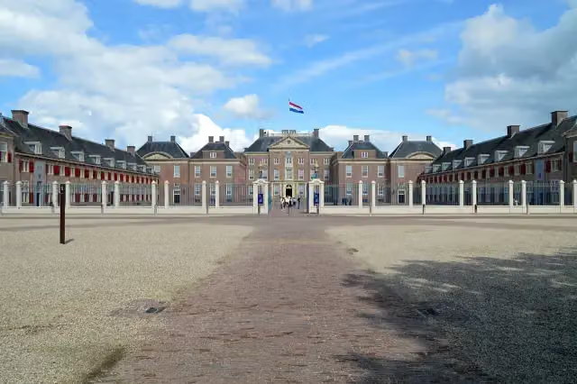 Paleis het LooCastle · 8.5 km from the route
- 22
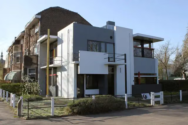 Rietveld-SchröderhuisMuseum · 8.9 km from the route
- 23
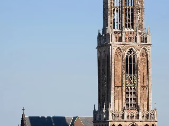 Dom towerAttraction · 9.2 km from the route
- 24
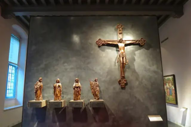 Museum CatharijneconventMuseum · 9.5 km from the route
- 25
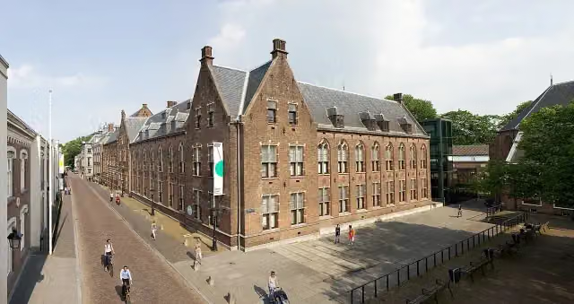 Centraal MuseumMuseum · 9.8 km from the route
Explore more
Frequently asked questions
How long is European long distance path E11 - Netherlands?
European long distance path E11 - Netherlands is 347.2 km long, in 19 stages of 18.3 km on average. Allow ± 4:05 h per stage of walking: 4.5 km an hour and 10 minutes more per 100 metres of climbing, without breaks.
Is this route a circular walk?
No, the route runs from Scheveningen (NL) to Bad Bentheim (DE).
Where does this route start?
The route starts in Oldenzaal.
How hard is this route?
Moderate per stage, with 17 m per stage of climbing.
Are there toilets along this route?
Yes, there are 19 public toilets within 100 m of the route. The longest stretch without a toilet is 88.7 km.
Can you fill up with water along this route?
Yes, there are 24 water fountains and refill points within 100 m of the route.
What is there to see along this route?
Along the way you pass Oorlogsmonument Huize Lidwina, Museum EICAS and Bolwerksmolen.
Starting point
More routes from this place
Route data © OpenStreetMap contributors





