 Outdoor Pitstop
Walking guide North Holland · Updated on 5 November 2026
The best walks in North Holland
North Holland has 687 walks on the Outdoor Pitstop map. The 10 best are 16 km long on average. Along the way you find 1,273 benches and picnic tables, 87 water fountains and refill points, 65 public toilets and 1 bike pump in total.

i
The 10 best walks
In the order of our score: a photo, points of interest along the way, a toilet or water point, a circular walk, a description and how often people search for the route.
The best walking route in North Holland is Westerborkpad - 00 (6.6 km, easy).
The numbers on the map are the routes below, at their starting point. Pitstops count up to 100 m from the route. Walking time assumes 4.5 km an hour plus 10 minutes per 100 m of ascent.
- 1
Westerbork Trail - 00
6.6 km · ± 1:25 h · From A to B · start Amsterdam
16 public toilets12 water fountains and refill points117 benches and picnic tables
- 2
i
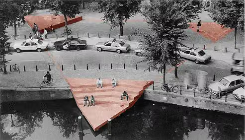
Photo: asdfmvoie · Wikimedia Commons · CC BY-SA 3.0View the photo on Wikimedia CommonsFloris V-pad - 01
ModerateFloris V Trail - 01
17.4 km · ± 3:55 h · ↗ 3 m · From A to B · start Amsterdam
4 public toilets4 water fountains and refill points219 benches and picnic tables
- 3
Zuiderzeepad - 06
ModerateZuiderzee Trail - 06
15.5 km · ± 3:25 h · From A to B · start Amsterdam
6 public toilets21 water fountains and refill points217 benches and picnic tables
- 4
i
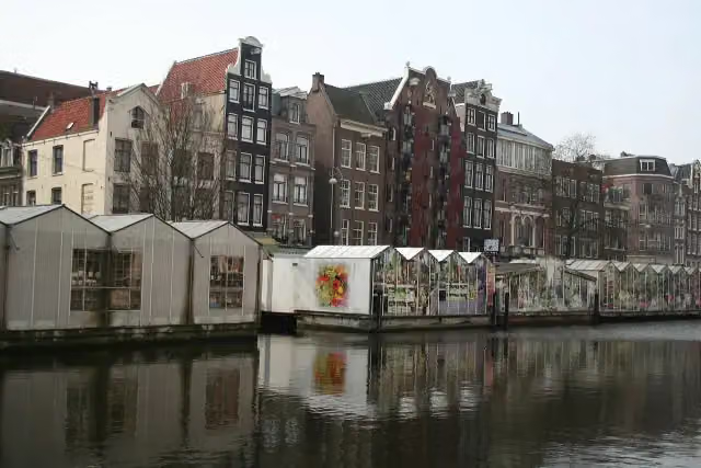
Photo: Massimo Catarinella · Wikimedia Commons · CC BY-SA 3.0View the photo on Wikimedia CommonsPelgrimspad 1 - 01
ModeratePilgrim Trail 1 - 01
18.2 km · ± 4:05 h · ↗ 14 m · From A to B · start Amsterdam
24 public toilets27 water fountains and refill points353 benches and picnic tables
- 5
i
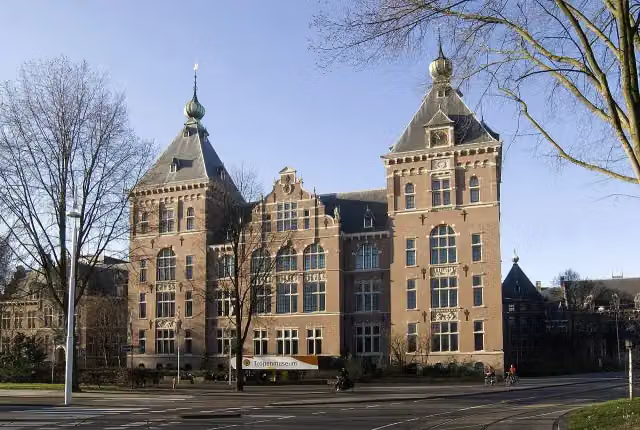
Photo: GerardM · Wikimedia Commons · CC BY-SA 3.0View the photo on Wikimedia CommonsWesterbork Trail - 01
8.4 km · ± 1:50 h · From A to B · start Amsterdam
4 public toilets15 water fountains and refill points139 benches and picnic tables
- 6
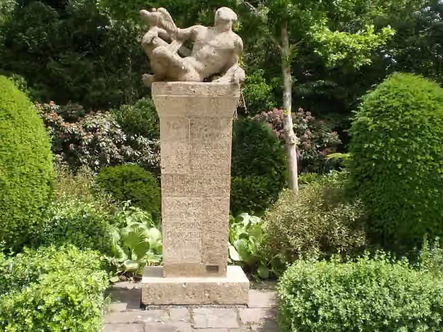
i
Photo: Tulp8 · Wikimedia Commons · CC BY-SA 4.0View the photo on Wikimedia CommonsWesterborkpad - 06
ModerateWesterbork Trail - 06
13.5 km · ± 3:05 h · ↗ 36 m · From A to B · start Hilversum
2 public toilets4 water fountains and refill points34 benches and picnic tables
- 7
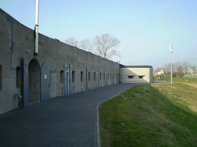
Waterliniepad - 05
ModerateWater Line Trail - 05
12 km · ± 2:40 h · From A to B · start Haarlemmermeer
3 public toilets1 water point34 benches and picnic tables
- 8
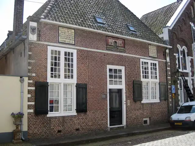
i
Photo: Joost1948 · Wikimedia Commons · CC BY-SA 3.0View the photo on Wikimedia CommonsWaterliniepad - 09
ModerateWater Line Trail - 09
18.3 km · ± 4:05 h · ↗ 4 m · From A to B · start Amsterdam
1 public toilet2 water fountains and refill points99 benches and picnic tables
- 9
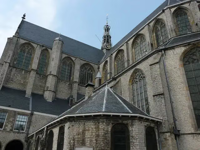
i
Photo: G.Lanting · Wikimedia Commons · CC BY-SA 3.0View the photo on Wikimedia CommonsWestfriese Omringdijk - 2
ModerateWest Frisian Ring Dyke - 2
17.1 km · ± 3:50 h · ↗ 6 m · From A to B · start Koggenland
3 public toilets1 water point56 benches and picnic tables
- 10
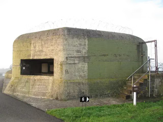
i
Photo: Michiel1972 · Wikimedia Commons · CC BY-SA 3.0View the photo on Wikimedia CommonsDutch Coastal Trail Afsluitdijk with bus transfer east-west
32.6 km · ± 7:15 h · ↗ 3 m · From A to B · start Súdwest-Fryslân
2 public toilets0 water fountains and refill points5 benches and picnic tables
Long-distance paths through North Holland
Walks of several days, in stages.
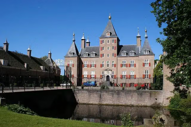
i
Photo: Kasteelbeer · Wikimedia Commons · CC BY-SA 3.0 nlView the photo on Wikimedia Commons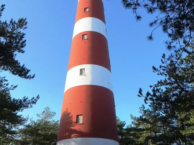
i
Photo: Dickelbers · Wikimedia Commons · CC BY-SA 3.0View the photo on Wikimedia Commons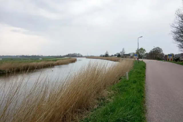
i
Photo: Dqfn13 · Wikimedia Commons · CC BY-SA 4.0View the photo on Wikimedia Commons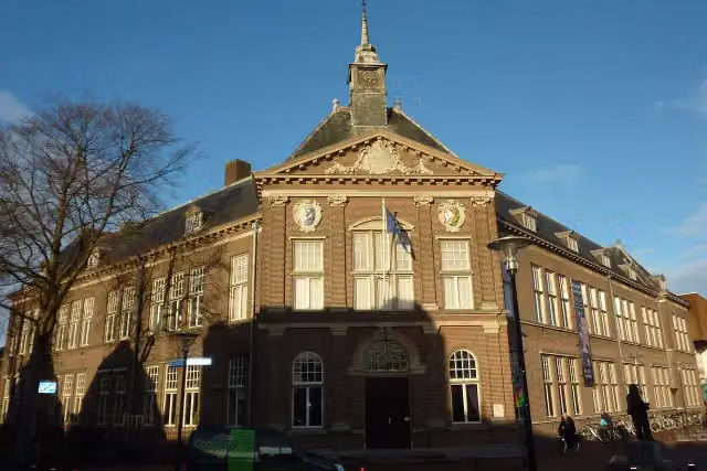
i
Photo: Fransvannes · Wikimedia Commons · CC BY-SA 3.0View the photo on Wikimedia Commons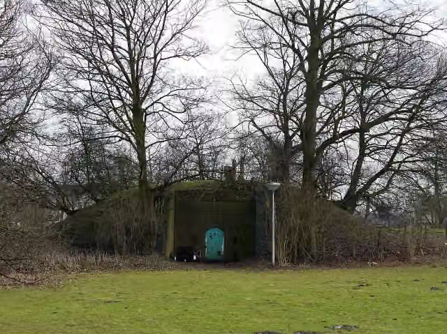
i
Photo: China Crisis · Wikimedia Commons · CC BY 3.0View the photo on Wikimedia Commons
Points of interest along the walks
Along the 10 best walks.
Oudemanhuispoort
Attraction · along 2 walks
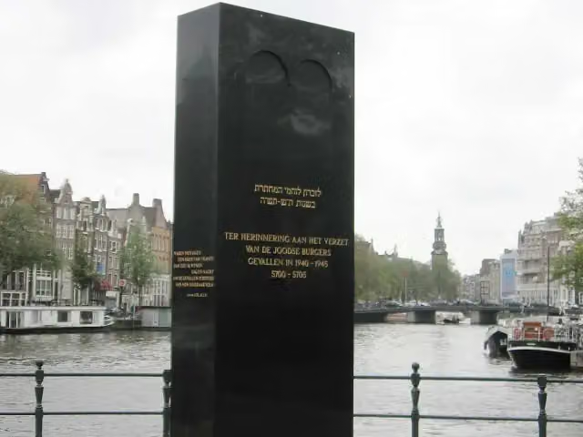
Jewish WW2 resistance memorial
Memorial · along 2 walks
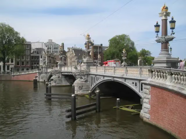 Audio story · 2 min
i
Photo: M.Minderhoud · Wikimedia Commons · CC BY-SA 3.0View the photo on Wikimedia CommonsBlauwbrug
Viewpoint · along 2 walks
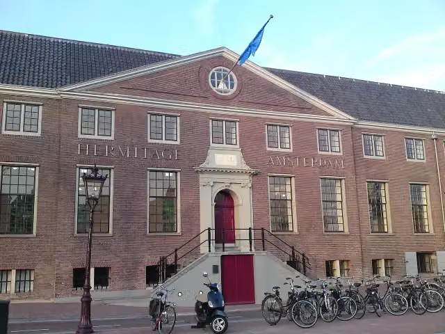 Audio story · 2 min
i
Photo: Fentener van Vlissingen · Wikimedia Commons · CC BY-SA 3.0View the photo on Wikimedia CommonsH'ART Museum
Museum · along 2 walks
 Audio story · 2 min
i
Photo: Nadine Ranger · Wikimedia Commons · CC BY-SA 4.0View the photo on Wikimedia CommonsMicropia
Museum · along 2 walks
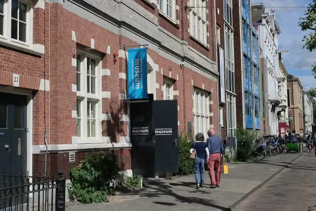 Audio story · 2 min
i
Photo: PersianDutchNetwork · Wikimedia Commons · CC BY-SA 4.0View the photo on Wikimedia CommonsNational Holocaust Museum
Museum · along 2 walks
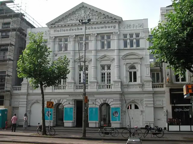 Audio story · 2 min
i
Photo: P.H. Louw · Wikimedia Commons · CC BY 2.5View the photo on Wikimedia CommonsHollandsche Schouwburg
Museum · along 2 walks
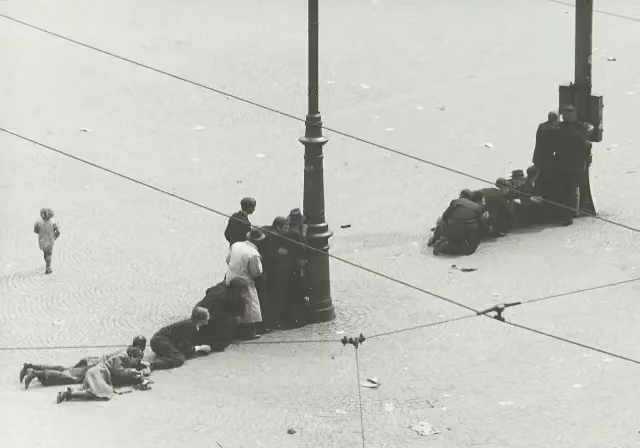 Audio story · 2 min
Plaquette 7 mei 1945
Memorial · along 2 walks
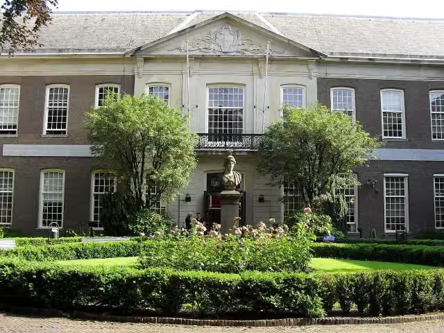
Walks per place in North Holland
42 places have their own guide.
- Aalsmeer13 ›
- Alkmaar26 ›
- Amstelveen34 ›
- Amsterdam104 ›
- Bergen23 ›
- Beverwijk21 ›
- Blaricum20 ›
- Bloemendaal40 ›
- Castricum25 ›
- Den Helder6 ›
- Diemen24 ›
- Dijk en Waard11 ›
- Drechterland29 ›
- Edam-Volendam27 ›
- Enkhuizen14 ›
- Gooise Meren54 ›
- Haarlem27 ›
- Haarlemmermeer59 ›
- Heemskerk19 ›
- Heemstede13 ›
- Heiloo7 ›
- Hilversum51 ›
- Hollands Kroon26 ›
- Hoorn18 ›
- Huizen29 ›
- Koggenland22 ›
- Landsmeer12 ›
- Laren13 ›
- Medemblik42 ›
- Ouder-Amstel12 ›
- Purmerend25 ›
- Schagen26 ›
- Stede Broec21 ›
- Texel36 ›
- Uitgeest14 ›
- Uithoorn13 ›
- Velsen40 ›
- Waterland20 ›
- Wijdemeren38 ›
- Wormerland10 ›
- Zaanstad25 ›
- Zandvoort8 ›
Explore further
Walks nearby
Frequently asked questions
How many walks are there in North Holland?
The Outdoor Pitstop map has 687 walks in North Holland, including 31 long-distance paths in stages.
What is the best walk in North Holland?
At the top of this guide is Westerborkpad - 00 (6.6 km, easy). Next come Floris V-pad - 01 and Zuiderzeepad - 06.
Which walks in North Holland have a toilet along the way?
In this guide, Westerborkpad - 00, Floris V-pad - 01 and Zuiderzeepad - 06 have a public toilet along the route.
Which long-distance paths run through North Holland?
Among others Utrechtpad - Hoofdroute, WaddenWandelen, Streekpad Westfriese Omringdijk and Zuiderzeepad - Hoofdroute run through this area.
Popular nearby
Guides of places nearby





