 Outdoor Pitstop
Walking route · Bergen · Great Friesland Trail · Updated on 5 November 2026
Groot Frieslandpad walk
Groot Frieslandpad is a walk of 348.8 km from Bergen. Along the way: 578 benches and picnic tables, 12 water fountains and refill points and 33 public toilets.
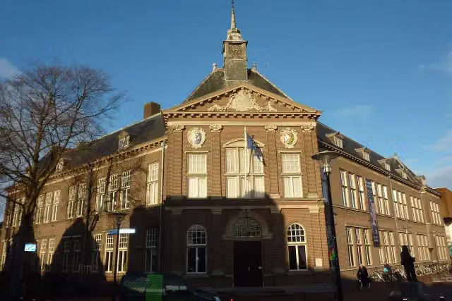
i
i
The route step by step
From start to finish, with what you pass along the way and the distance in between.
- 348.8 km
- ± 3:30 h per stage
- Moderate per stage
- From A to B
- National route
Start in Bergen
0 kmAt the start: public toilet.
351 m · 7 benches
Public toilet and water point
351 m401 m · 2 benches
Public toilet
752 m7.2 km · 8 benches
Public toilet
8 km5 km · 14 benches
Water point
13 km8.1 km · 37 benches

Kasteel Nuwendoorn and 1 more
21 kmObservation tower
45.3 km · 54 benches
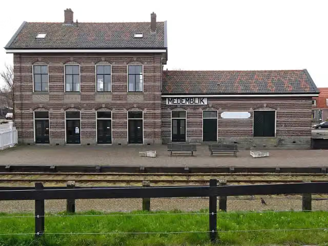
Station Medemblik
66.4 kmPublic toilet
1.1 km · 2 benches
Water point
67.5 km507 m · 6 benches
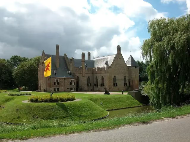
Kasteel Radboud
68 kmPublic toilet
782 m · 13 benches
Public toilet
68.8 km316 m
Public toilet and water point
69.1 km1 km · 3 benches
Museum
15.7 km · 26 benches
Water point
85.8 km4.3 km · 7 benches
Public toilet
90.1 km969 m · 16 benches
2 public toilets and water point
91.1 km22.8 km · 23 benches
3 public toilets
113.8 km9.1 km · 36 benches
Public toilet
123 km979 m
First Frisian Skating Museum
123.9 kmMuseum
320 m · bench
2 public toilets
124.3 km5 km · 3 benches
Public toilet
129.3 km974 m · 2 benches
3 public toilets
130.2 km179 m
Museum Warkums Erfskip and 1 more
130.4 kmJopie Huisman Museum and 2 water fountains and refill points
1 km · 3 benches
Public toilet
131.4 km21.5 km · 21 benches
Public toilet
152.9 km907 m · 2 benches
Public toilet
153.8 km5.2 km · 23 benches
2 water fountains and refill points
159 km560 m
2 public toilets
159.6 km622 m · 7 benches
Fries Scheepvaart Museum
160.2 kmMuseum · Audio story · 2 min
381 m · 3 benches
Public toilet
160.6 km10.2 km · 5 benches
Public toilet
170.7 km
Show the other 14 steps
6.1 km · 7 benches
Public toilet
176.9 km5.2 km · 34 benches
Aldheidskeamer Uldrik Bottema
182 kmMuseum
376 m · bench
Public toilet
182.4 km14.3 km · 8 benches
Openluchtmuseum It Damshûs
196.7 kmMuseum
8.4 km · 6 benches
Lyndenstein
205.1 kmCastle
7.7 km · 5 benches
Observation tower
212.8 kmObservation tower
6.4 km · 5 benches
Public toilet
219.2 km46.9 km · 76 benches
Public toilet
266.1 km6.9 km · 15 benches
Hunebed D6 Tynaarlo
273 kmArchaeological site
6.7 km · 5 benches
Archaeological site
1.2 km
Hunebed D9 Annen
280.8 kmArchaeological site
721 m · 2 benches
Water point
281.6 km19.1 km · 37 benches
Veenkoloniaal museum
300.6 kmPublic toilet and water point
48.2 km · 53 benches
Finish
348.8 km
Longest stretch without a toilet: 58.4 kmBetween 8 km and 66.4 km there is no public toilet within 100 m of the route.
The route with the water points, toilets and sights within 100 m of it.
17 sights along the way
In the order you pass them. With the Outdoor Pitstop app you hear their story on the spot. 9 more along the route are on the map.

Ruins · after 21 km
Observation tower · after 21.1 km
- Story
Station Medemblik
Museum · after 66.4 km
- Audio story · 2 min
i
Photo: Stefan Didam - Schmallenberg · Wikimedia Commons · CC BY-SA 3.0View the photo on Wikimedia CommonsKasteel Radboud
Museum · after 68.1 km
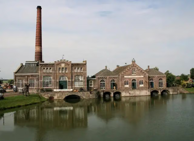
Nederlands Stoommachinemuseum
Museum · after 70.1 km
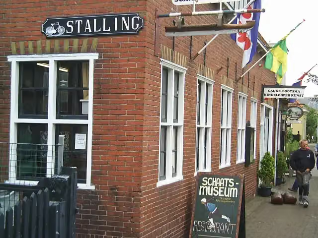
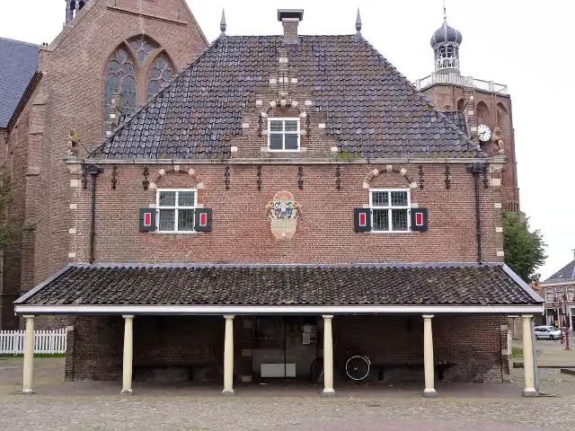
Museum · after 123.9 km
 Story
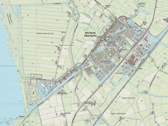
Museum Warkums Erfskip
Museum · after 130.4 km
Jopie Huisman Museum
Museum · after 130.4 km
Stages (22)
- 1Stage 0113.9 km
- 2Stage 0216.4 km
- 3Stage 0310.7 km
- 4Stage 0410.1 km
- 5Stage 0515 km
- 6Stage 069 km
- 7Stage 0738.6 km
- 8Stage 0816.5 km
- 9Stage 0912.6 km
- 10Stage 1016 km
- 11Stage 1114.8 km
- 12Stage 1216.8 km
- 13Stage 1317.2 km
- 14Stage 1424.1 km
- 15Stage 1520.6 km
- 16Stage 1619.6 km
- 17Stage 1710.5 km
- 18Stage 1817.4 km
- 19Stage 1916.9 km
- 20Stage 2013.6 km
- 21Stage 2115 km
- 22Stage 223.3 km
Elevation and terrain
Way types
348.8 km in total- Road: 85.9 km
- Path: 68.2 km
- Cycleway: 63.9 km
- Track: 42.2 km
- Footpath: 36.1 km
- Street: 24.3 km
- Busy road: 3.2 km
- Stairs: 22 stairs
- Unknown: 22.5 km
Surfaces
348.8 km in total- Asphalt: 64.4 km
- Natural: 56.6 km
- Paved: 41.5 km
- Gravel: 21.8 km
- Unpaved: 13.6 km
- Unknown: 149.7 km
About the walking route Groot Frieslandpad
Updated on 5 November 2026, with data from OpenStreetMap and the AHN.
Where do you walk?
Groot Frieslandpad is a walking route of 348.8 km that starts in Bergen. It does not end where it starts. You start in Bergen aan Zee and finish in Leer (D). Along the way you pass Kasteel Nuwendoorn (after 21 km), Observation tower (after 21.1 km) and Station Medemblik (after 66.4 km).
How hard is the route?
There are 22 flights of steps along the way. Allow ± 3:30 h per stage, without breaks. The level is moderate per stage.
What paths do you walk on?
The longest part is road (85.9 km), path (68.2 km) and cycleway (63.9 km). Of the surface, 64.4 km asphalt and 56.6 km natural. For 149.7 km the surface is not known.
Pitstops along the way
Within 100 metres of the route there are 578 benches and picnic tables, 12 water fountains and refill points and 33 public toilets. The longest stretch without a toilet is 58.4 km. The Outdoor Pitstop app navigates you there.
Walks nearby
6Sights nearby
Within 10 km of the route, best known first.
- 1
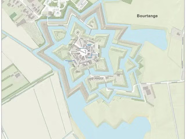 Fort BourtangeCastle · 8.5 km from the route
- 2
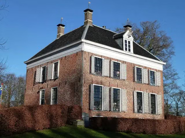 EnnemaborgAttraction · 7.8 km from the route
- 3
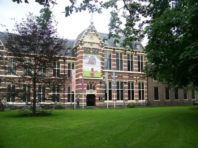 Drents MuseumMuseum · 9.3 km from the route
- 4
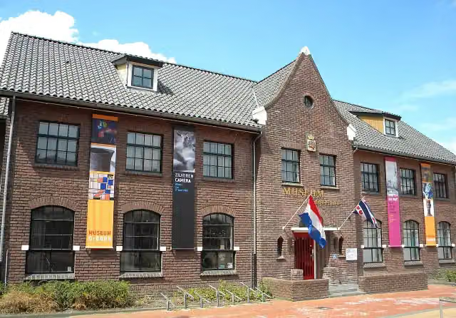 Museum DrachtenMuseum · 4 km from the route
- 5
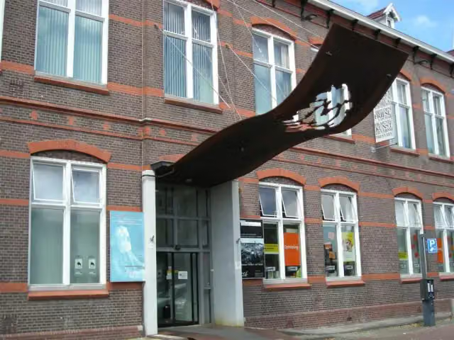 Museum HeerenveenMuseum · 9.9 km from the route
- 6
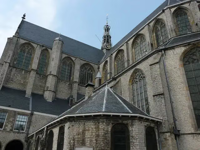 Grote of Sint-LaurenskerkMuseum · 7.6 km from the route
- 7
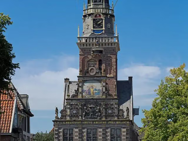 WaagAttraction · 8 km from the route
- 8
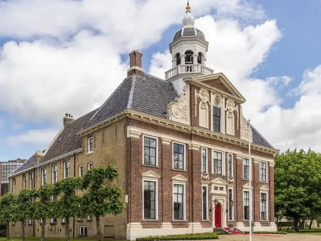 CrackstateCastle · 9.7 km from the route
- 9
 Internationaal KlompenmuseumMuseum · 5.9 km from the route
- 10
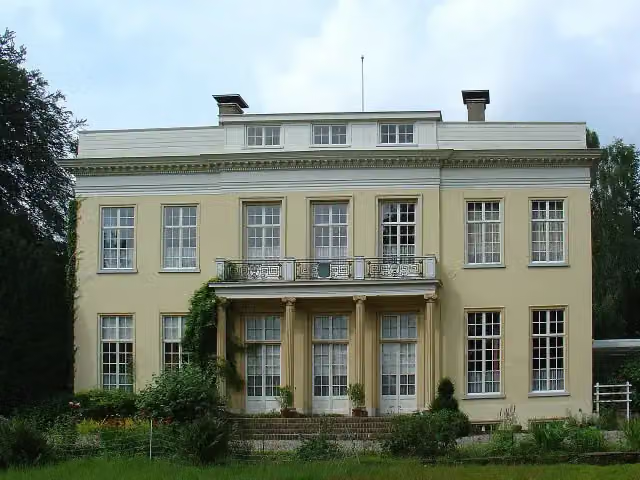 HarinxmastateCastle · 201 m from the route
- 11
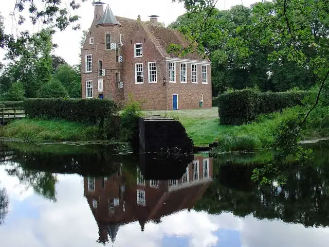 Burcht WeddeCastle · 789 m from the route
- 12
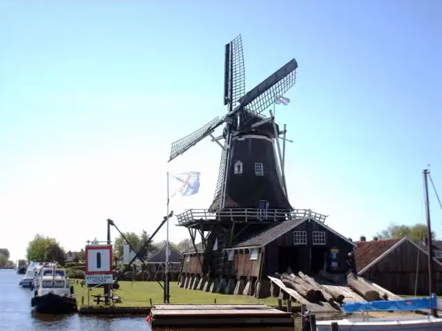 Molenhuis De JagerMuseum · 7.4 km from the route
- 13
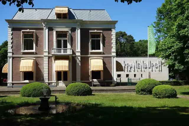 Museum KranenburghMuseum · 2.7 km from the route
- 14
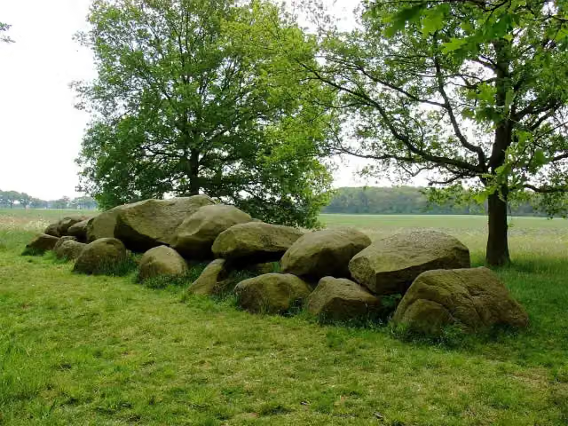 Hunebed D16 BallooArchaeological site · 8.1 km from the route
- 15
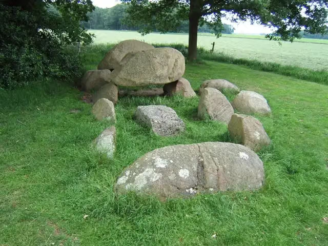 Hunebed D2 WesterveldeArchaeological site · 1.2 km from the route
- 16
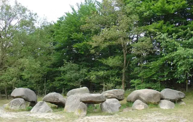 Hunebed D1 SteenbergenArchaeological site · 2.6 km from the route
- 17
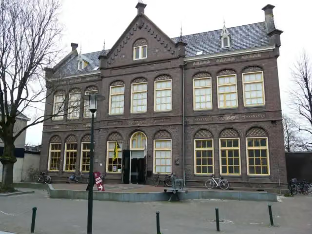 Streekmusuem OpsterlandMuseum · 5.3 km from the route
- 18
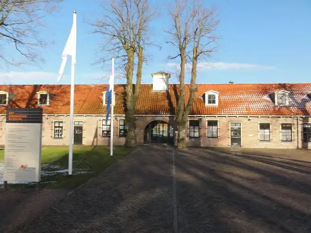 GevangenismuseumMuseum · 2.9 km from the route
- 19
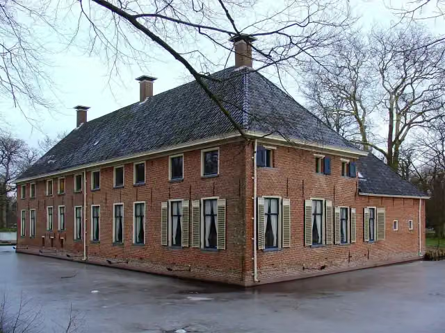 MensingeMuseum · 5.5 km from the route
- 20
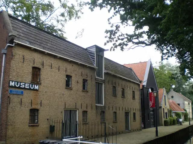 Museum JoureMuseum · 8.7 km from the route
- 21
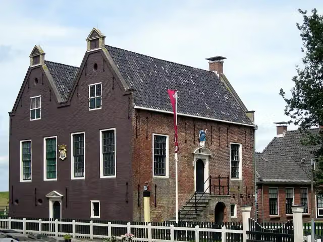 Museum HindeloopenMuseum · 209 m from the route
- 22
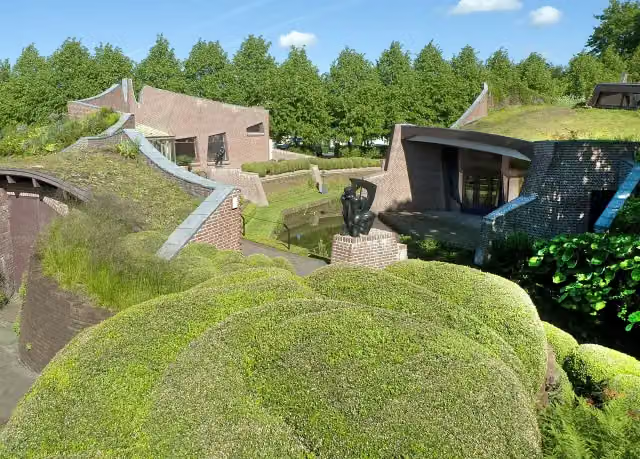 Museum De BuitenplaatsMuseum · 5.4 km from the route
- 23
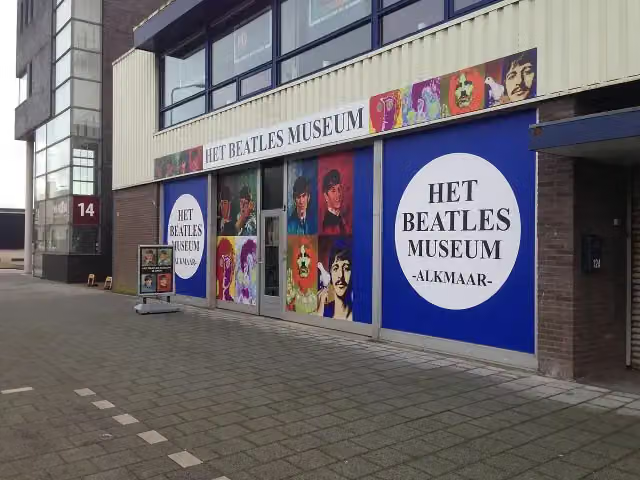 Beatles MuseumMuseum · 7.6 km from the route
- 24
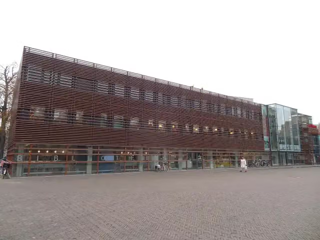 Stedelijk Museum AlkmaarMuseum · 7.5 km from the route
- 25
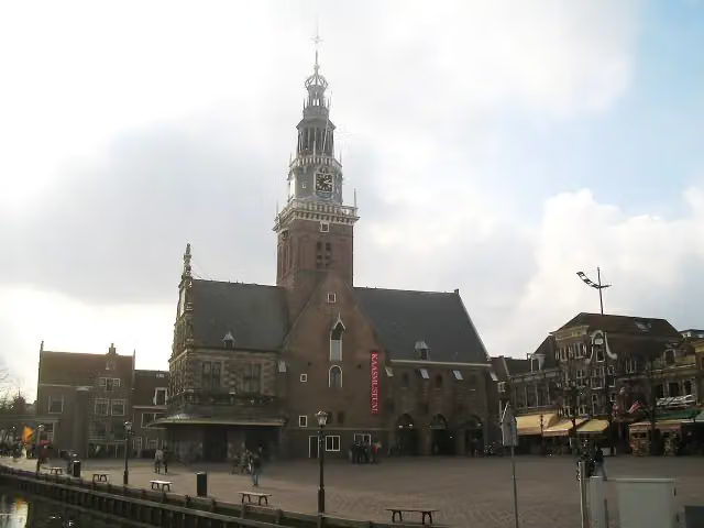 Dutch CheesemuseumMuseum · 8 km from the route
Explore more
Frequently asked questions
How long is Groot Frieslandpad?
Groot Frieslandpad is 348.8 km long, in 22 stages of 15.9 km on average. Allow ± 3:30 h per stage of walking: 4.5 km an hour and 10 minutes more per 100 metres of climbing, without breaks.
Is this route a circular walk?
No, the route runs from Bergen aan Zee to Leer (D).
Where does this route start?
The route starts in Bergen.
How hard is this route?
Moderate per stage.
Are there toilets along this route?
Yes, there are 33 public toilets within 100 m of the route. The longest stretch without a toilet is 58.4 km.
Can you fill up with water along this route?
Yes, there are 12 water fountains and refill points within 100 m of the route.
What is there to see along this route?
Along the way you pass Kasteel Nuwendoorn, Observation tower and Station Medemblik.
Start place
More routes from this place
Route data © OpenStreetMap contributors





