 Outdoor Pitstop
Walking route · Rotterdam · Great Rivers Trail - Main route · Updated on 5 November 2026
Grote Rivierenpad - Hoofdroute walk
Grote Rivierenpad - Hoofdroute is a walk of 267.6 km from Rotterdam. Along the way: 584 benches and picnic tables, 20 water fountains and refill points and 19 public toilets.
i
i
The route step by step
From start to finish, with what you pass along the way and the distance in between.
- 267.6 km
- ± 4:15 h per stage
- Moderate per stage
- From A to B
- National route
Pick a stage to see the pitstops per kilometre. Along the way: 584 benches and picnic tables, 20 water fountains and refill points and 19 public toilets.
Follow these steps in the appThe route with the water points, toilets and sights within 100 m of it.
24 sights along the way
In the order you pass them. With the Outdoor Pitstop app you hear their story on the spot. 16 more along the route are on the map.
- Story
i
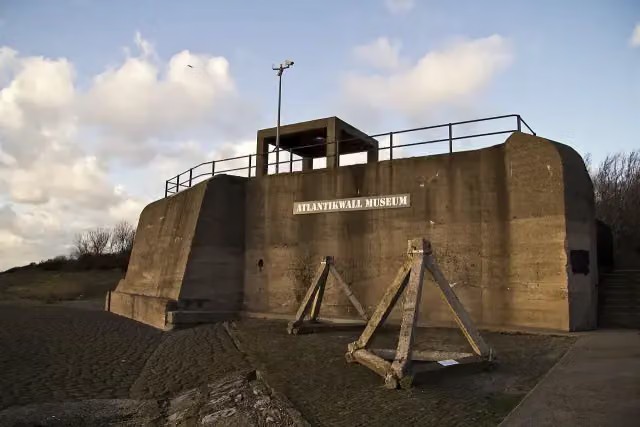
Photo: Luke Price from Rotterdam, Netherlands · Wikimedia Commons · CC BY 2.0View the photo on Wikimedia CommonsAtlantikwall-Museum
Museum
i
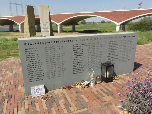
Photo: Sandra Fauconnier · Wikimedia Commons · CC BY 4.0View the photo on Wikimedia CommonsMemorial

Observation tower
i
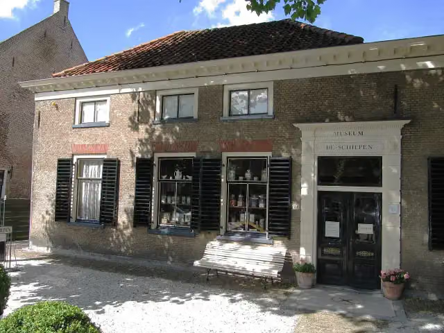
Photo: Michiel1972 · Wikimedia Commons · CC BY-SA 3.0View the photo on Wikimedia CommonsMuseum
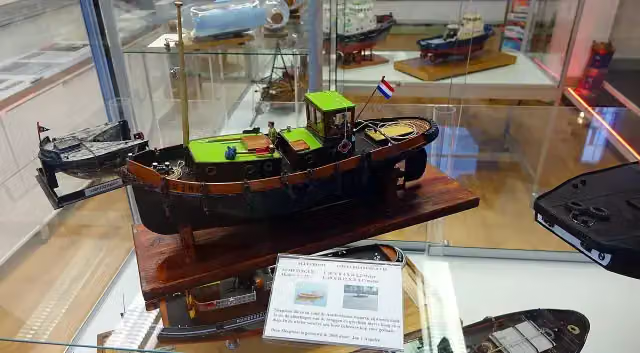
Tugboat Museum
Museum
Museum Maassluis
Museum
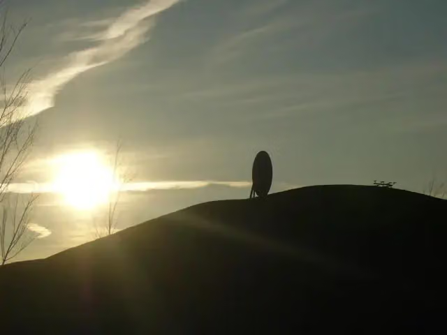
Oude Maasheuvel
Viewpoint
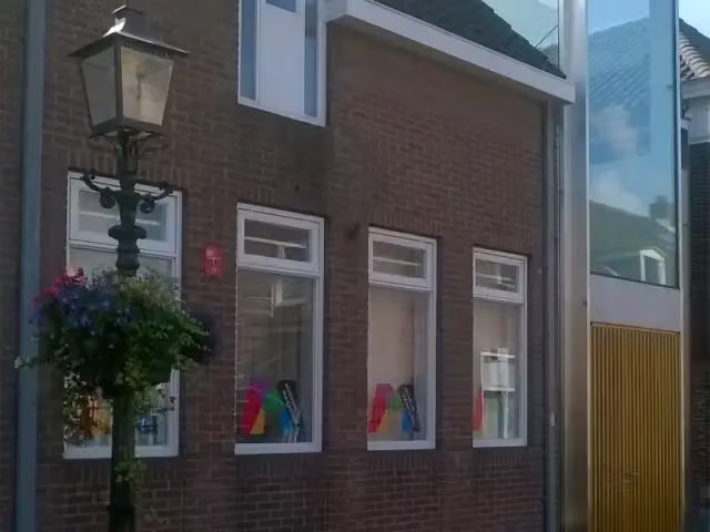
Huis van Zessen
Museum
Stages (14)
- 1Grote Rivierenpad - 01Great Rivers Trail - 0123.5 km
- 2Grote Rivierenpad - 02Great Rivers Trail - 0218.6 km
- 3Grote Rivierenpad - 03Great Rivers Trail - 0314.9 km
- 4Grote Rivierenpad - 04Great Rivers Trail - 0418.1 km
- 5Grote Rivierenpad - 05Great Rivers Trail - 0516.4 km
- 6Grote Rivierenpad - 06Great Rivers Trail - 0614.7 km
- 7Grote Rivierenpad - 07Great Rivers Trail - 0722.6 km
- 8Grote Rivierenpad - 08Great Rivers Trail - 0820.8 km
- 9Grote Rivierenpad - 09Great Rivers Trail - 0912.5 km
- 10Grote Rivierenpad - 10Great Rivers Trail - 1021.9 km
- 11Grote Rivierenpad - 11Great Rivers Trail - 1121.2 km
- 12Grote Rivierenpad - 12Great Rivers Trail - 1220.5 km
- 13Grote Rivierenpad - 13Great Rivers Trail - 1328.7 km
- 14Grote Rivierenpad - 14Great Rivers Trail - 1413.4 km
Elevation and terrain
Way types
267.6 km in total- Road: 91.6 km
- Cycleway: 45 km
- Path: 42.8 km
- Footpath: 35 km
- Street: 26.1 km
- Track: 19.3 km
- Stairs: 43 stairs
- Busy road: 675 m
- Unknown: 4.2 km
Surfaces
267.6 km in total- Asphalt: 100.8 km
- Paved: 26.4 km
- Gravel: 20.4 km
- Natural: 20.2 km
- Unpaved: 15.5 km
- Unknown: 83.2 km
About the walking route Grote Rivierenpad - Hoofdroute
Updated on 5 November 2026, with data from OpenStreetMap and the AHN.
Where do you walk?
Grote Rivierenpad - Hoofdroute is a walking route of 267.6 km that starts in Rotterdam. It does not end where it starts. You start in Hoek van Holland and finish in Kleve (D).
How hard is the route?
There are 43 flights of steps along the way. Allow ± 4:15 h per stage, without breaks. The level is moderate per stage.
What paths do you walk on?
The longest part is road (91.6 km), cycleway (45 km) and path (42.8 km). Of the surface, 100.8 km asphalt and 26.4 km paved. For 83.2 km the surface is not known.
Pitstops along the way
Within 100 metres of the route there are 584 benches and picnic tables, 20 water fountains and refill points and 19 public toilets. The Outdoor Pitstop app navigates you there.
Part of European long distance path E8 - part Netherlands
Website of the routeWalks nearby
6- GR 5 NL - 1 - Hoek van Holland-Maassluis OranjeplassenModerate · From A to B14.7 km
- Nederlands Kustpad deel 2 - 01Moderate · From A to B19.3 km
- Nederlands Kustpad deel 1 - 11Moderate · From A to B14.3 km
- European long distance path E8 - part NetherlandsEasy · From A to B8.8 km
- VoornepadHard · From A to B91.6 km
- Nederlands Kustpad deel 1 - 09Hard · From A to B20.8 km
Sights nearby
Within 10 km of the route, best known first.
- 1
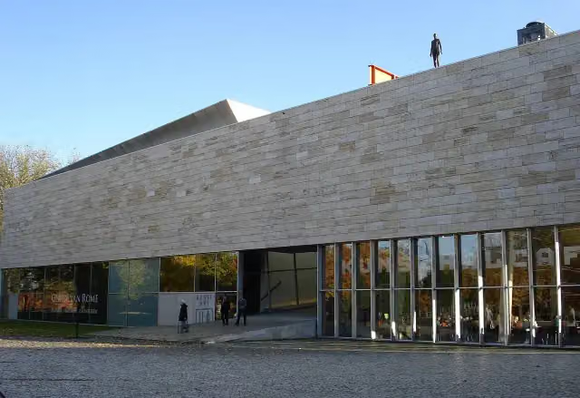 KunstHALMuseum · 7.9 km from the route
- 2
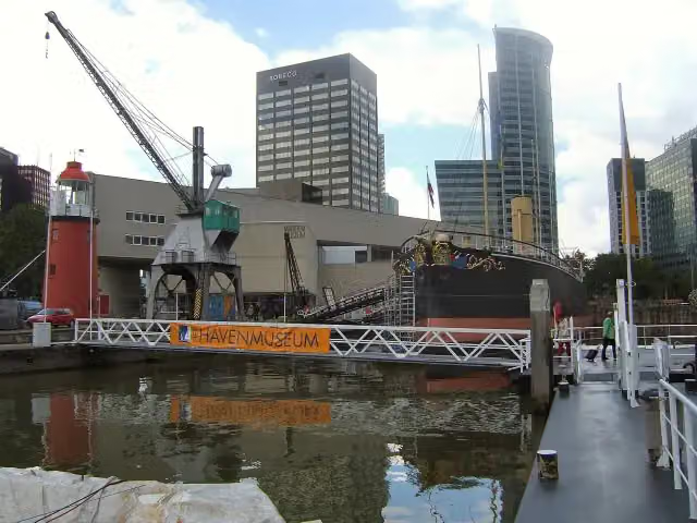 Maritime MuseumMuseum · 8.6 km from the route
- 3
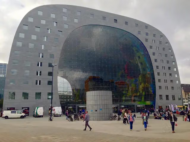 Market HallAttraction · 8.8 km from the route
- 4
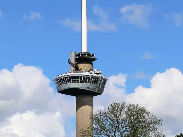 EuromastAttraction · 7.2 km from the route
- 5
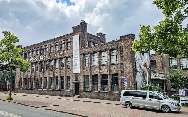 Royal DelftMuseum · 9.5 km from the route
- 6
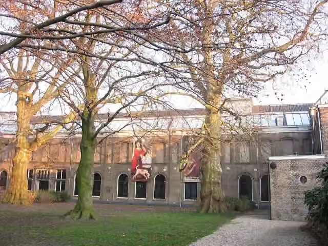 Dordrechts MuseumMuseum · 4.6 km from the route
- 7
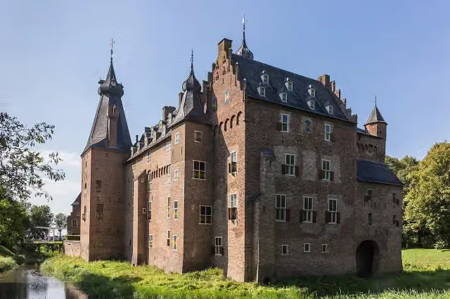 Kasteel DoorwerthCastle · 5.8 km from the route
- 8
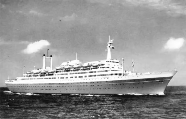 SS RotterdamAttraction · 6.5 km from the route
- 9
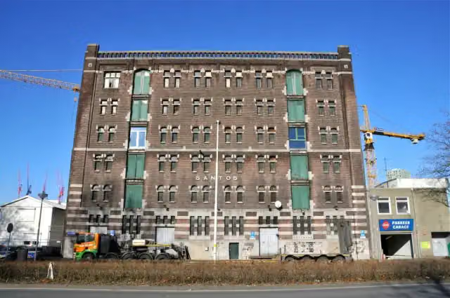 Nederlands FotomuseumMuseum · 6.9 km from the route
- 10
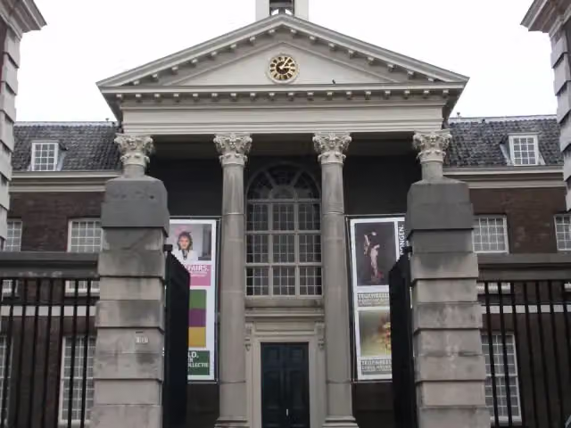 Stedelijk Museum SchiedamMuseum · 7.2 km from the route
- 11
 Depot Boijmans Van BeuningenMuseum · 8.2 km from the route
- 12
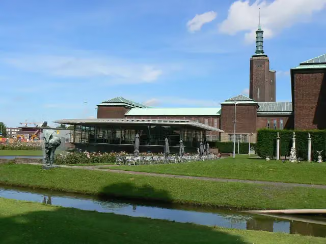 Museum Boijmans Van BeuningenMuseum · 8.3 km from the route
- 13
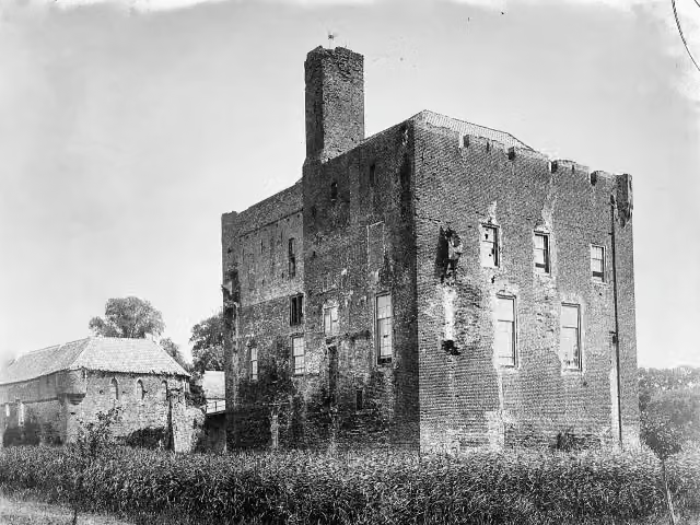 Kasteel DoornenburgAttraction · 9.1 km from the route
- 14
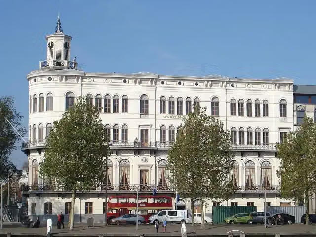 Wereldmuseum RotterdamMuseum · 7.5 km from the route
- 15
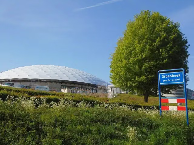 Freedom MuseumMuseum · 3.1 km from the route
- 16
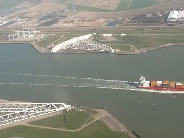 Maeslant BarrierAttraction · 725 m from the route
- 17
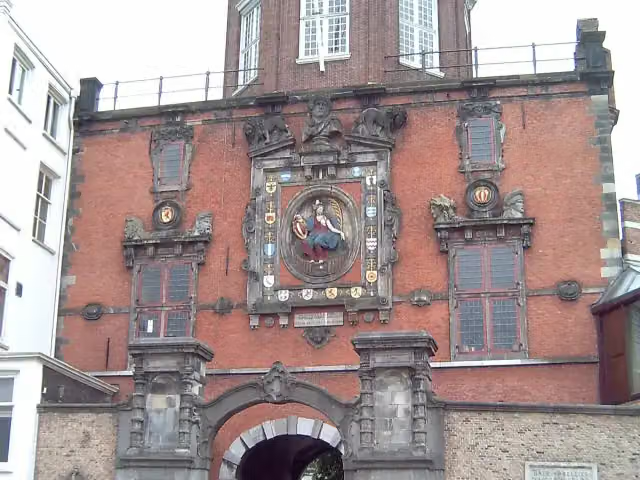 GroothoofdspoortAttraction · 4 km from the route
- 18
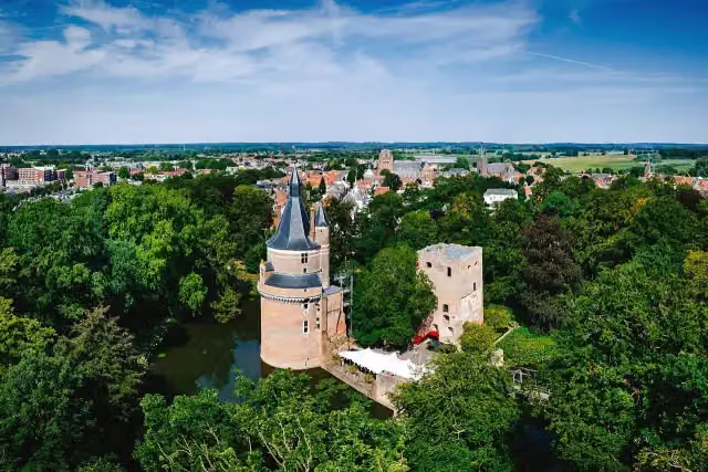 Duurstede CastleCastle · 5.6 km from the route
- 19
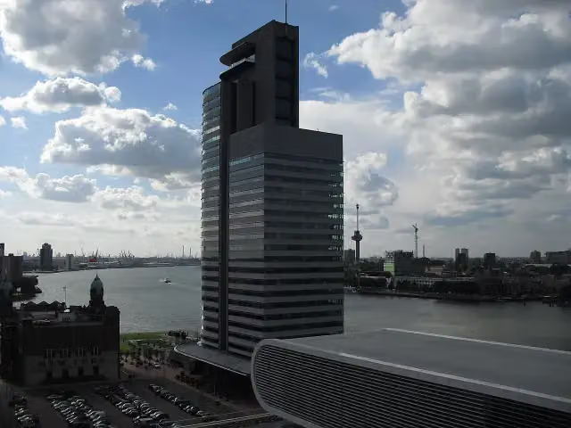 World Port CenterAttraction · 7.1 km from the route
- 20
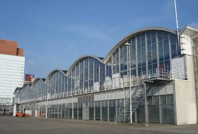 Rotterdam Cruise TerminalAttraction · 7.2 km from the route
- 21
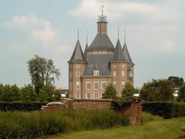 Kasteel HeemstedeCastle · 7.3 km from the route
- 22
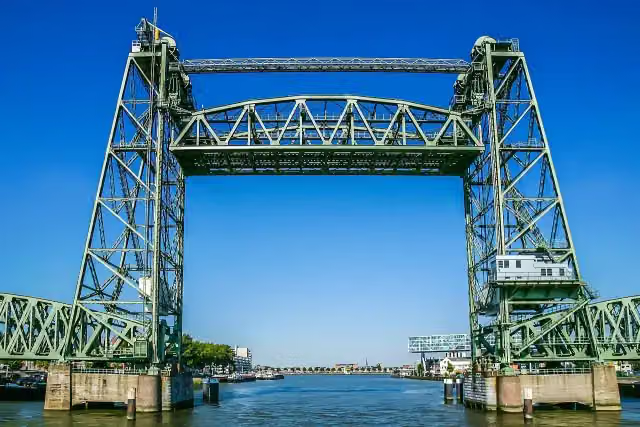 De HefAttraction · 8 km from the route
- 23
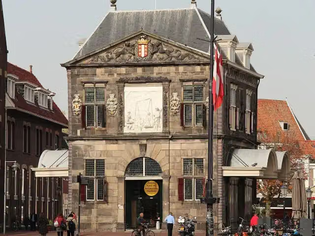 WaagAttraction · 8.5 km from the route
- 24
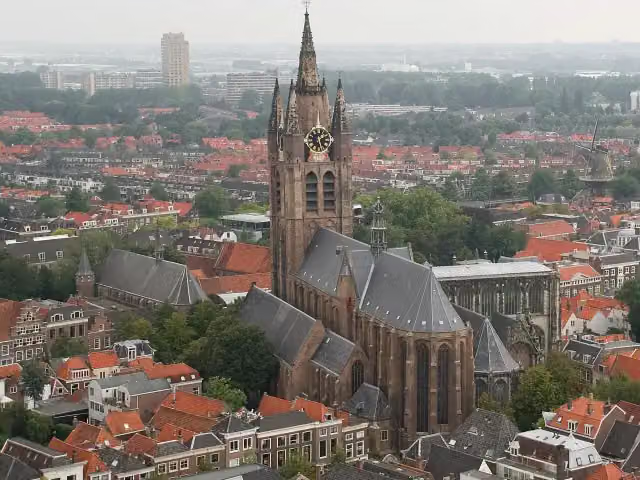 Old ChurchAttraction · 10 km from the route
- 25
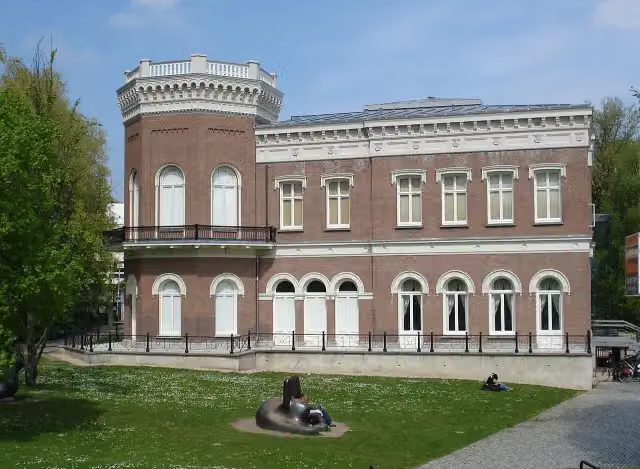 Natuurhistorisch Museum RotterdamMuseum · 7.9 km from the route
Explore more
Frequently asked questions
How long is Grote Rivierenpad - Hoofdroute?
Grote Rivierenpad - Hoofdroute is 267.6 km long, in 14 stages of 19.1 km on average. Allow ± 4:15 h per stage of walking: 4.5 km an hour and 10 minutes more per 100 metres of climbing, without breaks.
Is this route a circular walk?
No, the route runs from Hoek van Holland to Kleve (D).
Where does this route start?
The route starts in Rotterdam.
How hard is this route?
Moderate per stage.
Are there toilets along this route?
Yes, there are 19 public toilets within 100 m of the route.
Can you fill up with water along this route?
Yes, there are 20 water fountains and refill points within 100 m of the route.
What is there to see along this route?
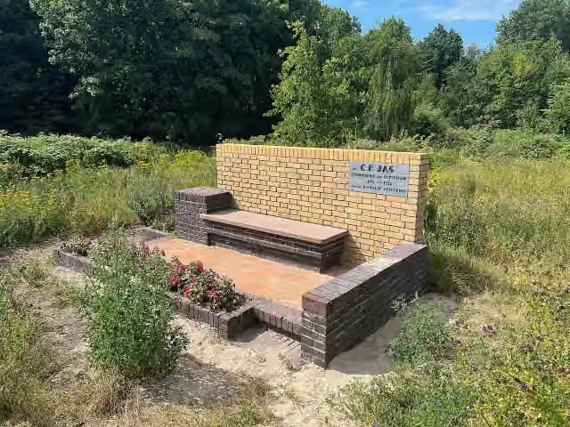
Along the way you pass Atlantikwall-Museum, Jasbank and Observation tower.
Start place
More routes from this place
Route data © OpenStreetMap contributors





