 Outdoor Pitstop
Walking guide Eijsden-Margraten · Updated on 5 November 2026
The best walks in Eijsden-Margraten
Eijsden-Margraten has 69 walks on the Outdoor Pitstop map. The 10 best are 36.4 km long on average. Along the way you find 808 benches and picnic tables, 31 water fountains and refill points, 37 public toilets and 2 bike pumps in total.
i
The 10 best walks
In the order of our score: a photo, points of interest along the way, a toilet or water point, a circular walk, a description and how often people search for the route.
The best walking route in Eijsden-Margraten is Dutch Mountain Trail (77 km, hard).
The numbers on the map are the routes below, at their starting point. Pitstops count up to 100 m from the route. Walking time assumes 4.5 km an hour plus 10 minutes per 100 m of ascent.
- 1
77 km · ± 17:05 h · From A to B · start Aachen
4 public toilets1 water point240 benches and picnic tables
- 2
i
Photo: Otter · Wikimedia Commons · CC BY-SA 3.0View the photo on Wikimedia CommonsPieterpad deel 2 - 13
ModeratePieterpad part 2 - 13
17.1 km · ± 4:05 h · ↗ 154 m · From A to B · start Maastricht
3 public toilets5 water fountains and refill points50 benches and picnic tables
- 3
St James Pilgrim Way Aachen-Maastricht
27.6 km · ± 6:35 h · ↗ 261 m · From A to B · start Valkenburg aan de Geul
0 public toilets2 water fountains and refill points62 benches and picnic tables
- 4
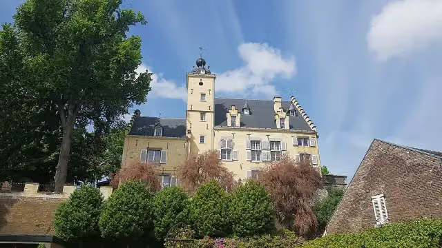
i
Photo: Kleon3 · Wikimedia Commons · CC BY-SA 3.0View the photo on Wikimedia CommonsSt James Pilgrim Way Nijmegen-Maastricht-Liège
143.1 km · ± 32:20 h · ↗ 328 m · From A to B · start Straelen
19 public toilets12 water fountains and refill points244 benches and picnic tables
- 5
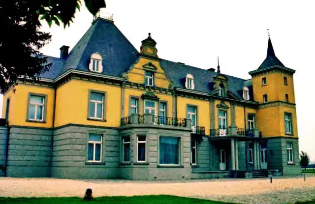
i
Photo: Pivos at Dutch Wikipedia (Original text: Pivos) · Wikimedia Commons · CC BY-SA 3.0View the photo on Wikimedia CommonsGR 128 Flanders Route (main section)
24.2 km · ± 5:45 h · ↗ 241 m · From A to B · start Riemst
2 public toilets4 water fountains and refill points43 benches and picnic tables
- 6
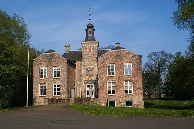
i
Photo: Kasteelbeer · Wikimedia Commons · CC BY-SA 3.0 nlView the photo on Wikimedia CommonsChalk Land Trail - 05
22.5 km · ± 5:25 h · ↗ 230 m · From A to B · start Gulpen-Wittem
3 public toilets1 water point64 benches and picnic tables
- 7
i
Photo: Pivos at Dutch Wikipedia (Original text: Pivos) · Wikimedia Commons · CC BY-SA 3.0View the photo on Wikimedia CommonsKrijtlandpad - 01
ModerateChalk Land Trail - 01
13.9 km · ± 3:10 h · ↗ 19 m · From A to B · start Maastricht
2 public toilets2 water fountains and refill points14 benches and picnic tables
- 8
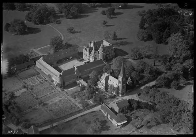
i
Photo: Unknown photographerUnknown photographer · Wikimedia Commons · CC BY-SA 4.0View the photo on Wikimedia CommonsKrijtlandpad - 02
ModerateChalk Land Trail - 02
16 km · ± 4:05 h · ↗ 298 m · From A to B · start Eijsden-Margraten
1 public toilet1 water point27 benches and picnic tables
- 9
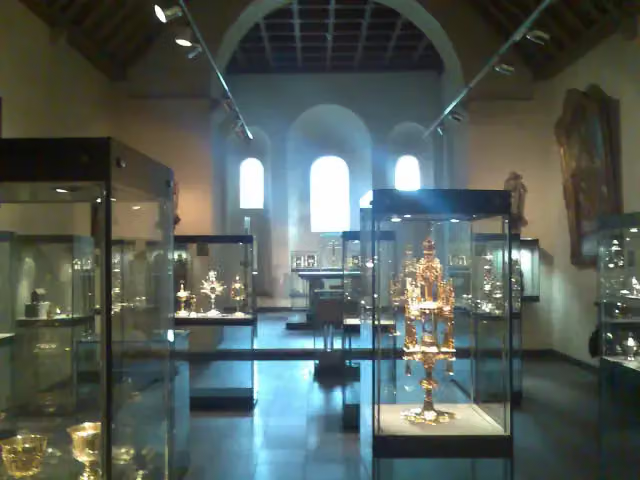
i
Photo: Kleon3 · Wikimedia Commons · CC BY-SA 3.0View the photo on Wikimedia CommonsPilgrim Trail 2 - 13b Maastricht approach route
7.2 km · ± 1:35 h · ↗ 10 m · From A to B · start Eijsden-Margraten
3 public toilets3 water fountains and refill points25 benches and picnic tables
- 10
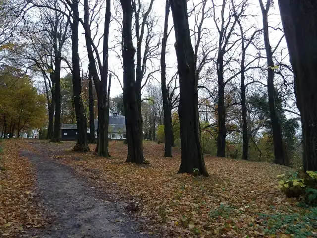
Pelgrimspad 2 - 13a
ModeratePilgrim Trail 2 - 13a
15 km · ± 3:40 h · ↗ 215 m · From A to B · start Valkenburg aan de Geul
0 public toilets0 water fountains and refill points39 benches and picnic tables
All 43 walks from Eijsden-Margraten, A to Z
- Eijsden-Margraten Ba1 Banholt
- Eijsden-Margraten Ba2 Banholt
- Eijsden-Margraten Be1 Bemelerberg
- Eijsden-Margraten Be2 Afrikamuseum · Eijsden-Margraten Be2 Africa Museum
- Eijsden-Margraten Be3 Bemelen
- Eijsden-Margraten Be4 Bemelerberg
- Eijsden-Margraten C1
- Eijsden-Margraten C5
- Eijsden-Margraten C6
- Eijsden-Margraten C7
- Eijsden-Margraten E7
- Eijsden-Margraten E8 Bloesemroute 3 · Eijsden-Margraten E8 Blossom Route 3
- Eijsden-Margraten Ec1 Eckelrade
- Eijsden-Margraten Ec2 Eckelrade
- Eijsden-Margraten Gr2 D'n Driej
- Eijsden-Margraten Gr3
- Eijsden-Margraten MH2 Mheer
- Eijsden-Margraten MH3 Mheer
- Eijsden-Margraten MH4 Mheer
- Eijsden-Margraten NB1 Noorbeek
- Eijsden-Margraten NB2 Noorbeek
- Eijsden-Margraten NB5 Noorbeek
- Eijsden-Margraten Sg1 Sint Geertruid
- Eijsden-Margraten Sg2 Sint Geertruid
- Eijsden-Margraten Sg3 Sint Geertruid
- Eijsden-Margraten Sg4 Sint Geertruid
- Eijsden-Margraten Sg5 Sint Geertruid
- Eijsden-Margraten Sg6 Ommetje Segietere · Eijsden-Margraten Sg6 Segietere circular walk
- Gulpen-Wittem G9
- Krijtlandpad - 02 · Chalk Land Trail - 02
- Margraten MG1
- Margraten MG2
- Margraten MG3
- Margraten MG4
- Margraten MG5
- Margraten MG6
- Margraten MG7
- Margraten MG8
- Pelgrimspad 2 - 13 · Pilgrim Trail 2 - 13
- Pelgrimspad 2 - 13b Aanlooproute Maastricht · Pilgrim Trail 2 - 13b Maastricht approach route
- Pelgrimspad 2 - 14 · Pilgrim Trail 2 - 14
- Pelgrimspad 2 - 15 · Pilgrim Trail 2 - 15
- Valkenburg B4 Berg & Koelboschgrubbe
Long-distance paths through Eijsden-Margraten
Walks of several days, in stages.
i
Photo: Kasteelbeer · Wikimedia Commons · CC BY-SA 3.0 nlView the photo on Wikimedia Commons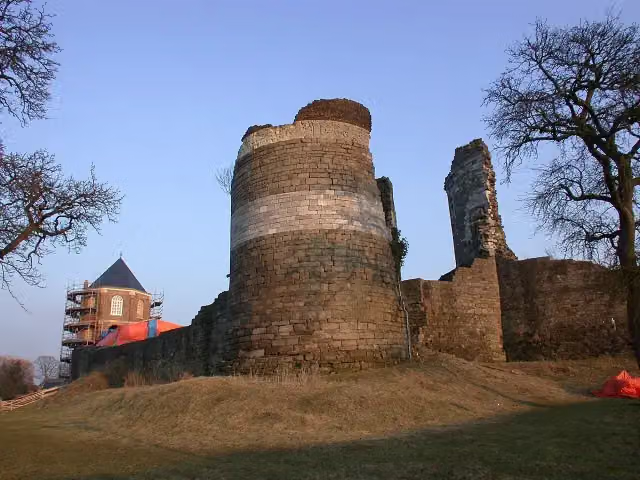
i
Photo: Sander Beckers · Wikimedia Commons · CC BY-SA 3.0View the photo on Wikimedia CommonsPieterpad (LAW 9)
500.9 km · From A to B
i
Photo: Pivos at Dutch Wikipedia (Original text: Pivos) · Wikimedia Commons · CC BY-SA 3.0View the photo on Wikimedia Commons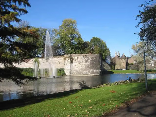
i
Photo: L.1951a · Wikimedia Commons · CC BY-SA 3.0View the photo on Wikimedia Commonsi
Photo: Kleon3 · Wikimedia Commons · CC BY-SA 3.0View the photo on Wikimedia Commonsi
Photo: Sander Beckers · Wikimedia Commons · CC BY-SA 3.0View the photo on Wikimedia CommonsPieterpad deel 2 - Vorden-Maastricht Pietersberg
Pieterpad part 2 - Vorden-Maastricht Pietersberg
261.2 km · From A to B
Points of interest along the walks
Along the 10 best walks.
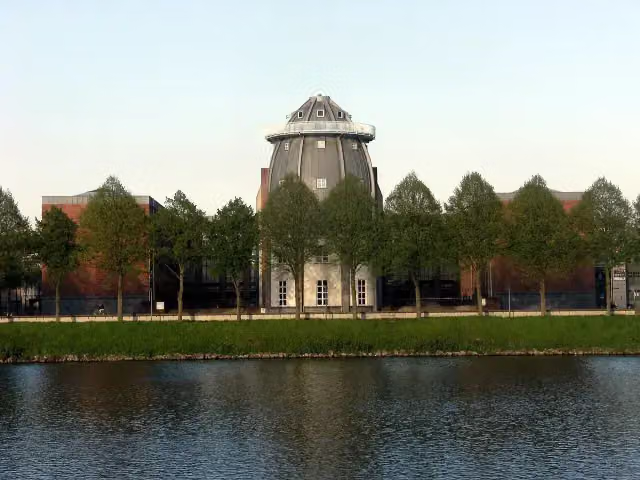 Audio story · 2 min
i
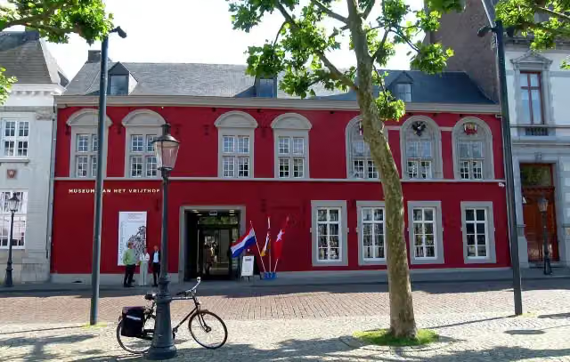
Photo: Mark Ahsmann · Wikimedia Commons · CC BY-SA 3.0View the photo on Wikimedia CommonsBonnefantenmuseum
Museum · along 4 walks
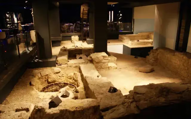
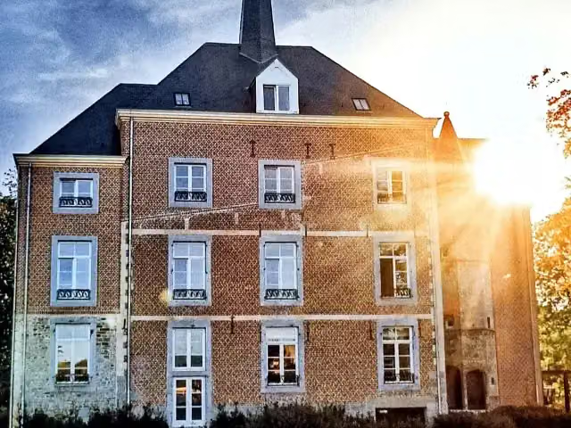
Museumkelder Derlon
Museum · along 3 walks
 Audio story · 2 min
i
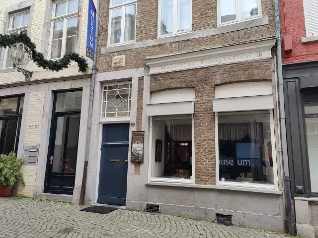
Photo: Kleon3 · Wikimedia Commons · CC BY-SA 4.0View the photo on Wikimedia CommonsVan Oys Maastricht Retreat
Castle · along 3 walks
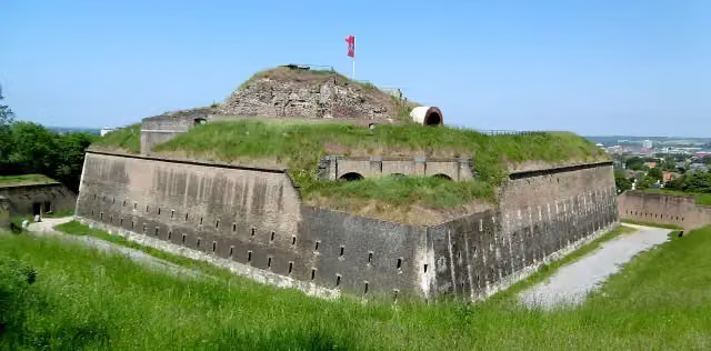
Fort Sint Pieter
Attraction · along 2 walks
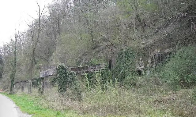
Bronsdaelgroeve
Memorial · along 2 walks
 Story
Kapel van Verbeelding
Museum · along 2 walks
- Story
i
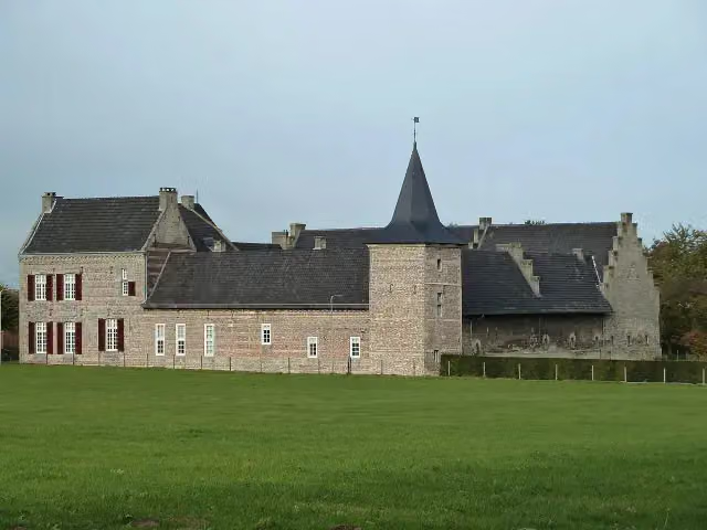
Photo: Pivos at Dutch Wikipedia (Original text: Pivos) · Wikimedia Commons · CC BY-SA 3.0View the photo on Wikimedia CommonsKasteel Hoogenweerth
Castle · along 2 walks
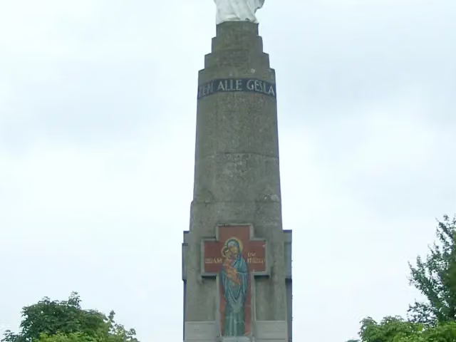
Mariamonument
Monument · along 1 walk
Walks per place in Limburg
30 places have their own guide.
- Beek13 ›
- Beekdaelen37 ›
- Beesel11 ›
- Bergen16 ›
- Brunssum5 ›
- Echt-Susteren16 ›
- Gennep16 ›
- Gulpen-Wittem84 ›
- Heerlen11 ›
- Horst aan de Maas7 ›
- Kerkrade9 ›
- Landgraaf6 ›
- Leudal20 ›
- Maasgouw9 ›
- Maastricht39 ›
- Meerssen11 ›
- Mook en Middelaar14 ›
- Nederweert13 ›
- Peel en Maas12 ›
- Roerdalen11 ›
- Roermond14 ›
- Simpelveld11 ›
- Sittard-Geleen20 ›
- Stein8 ›
- Vaals42 ›
- Valkenburg aan de Geul50 ›
- Venlo23 ›
- Venray7 ›
- Voerendaal23 ›
- Weert38 ›
Explore further
Frequently asked questions
How many walks are there in Eijsden-Margraten?
The Outdoor Pitstop map has 69 walks in Eijsden-Margraten, including 11 long-distance paths in stages.
What is the best walk in Eijsden-Margraten?
At the top of this guide is Dutch Mountain Trail (77 km, hard). Next come Pieterpad deel 2 - 13 and Jakobs-Pilgerweg Aachen-Maastricht.
Which walks in Eijsden-Margraten have a toilet along the way?
In this guide, Dutch Mountain Trail, Pieterpad deel 2 - 13 and Jakobs-Pilgerweg Nijmegen-Maastricht-Lüttich have a public toilet along the route.
Which long-distance paths run through Eijsden-Margraten?
Among others Krijtlandpad (Alle varianten), Pieterpad (LAW 9), Ronde van Nederland and GR 128 Vlaanderenroute run through this area.
Popular nearby
Guides of places nearby





