 Outdoor Pitstop
Walking guide Simpelveld · Updated on 5 November 2026
The best walks in Simpelveld
Simpelveld has 11 walks on the Outdoor Pitstop map. The 10 best are 14.7 km long on average; 9 of them are circular walks. Along the way you find 353 benches and picnic tables, 2 water fountains and refill points, 6 public toilets and 2 bike pumps in total.
The 10 best walks
In the order of our score: a photo, points of interest along the way, a toilet or water point, a circular walk, a description and how often people search for the route.
The best walking route in Simpelveld is Dutch Mountain Trail (77 km, hard).
The numbers on the map are the routes below, at their starting point. Pitstops count up to 100 m from the route. Walking time assumes 4.5 km an hour plus 10 minutes per 100 m of ascent.
- 1
77 km · ± 17:05 h · From A to B · start Aachen
4 public toilets1 water point240 benches and picnic tables
- 2
23.3 km · ± 5:40 h · ↗ 289 m · Circular walk · start Voerendaal
2 public toilets0 water fountains and refill points27 benches and picnic tables
- 3
Voerendaal V19 Lime Kiln Route
8 km · ± 2:00 h · ↗ 121 m · Circular walk · start Gulpen-Wittem
0 public toilets0 water fountains and refill points7 benches and picnic tables
- 4
i
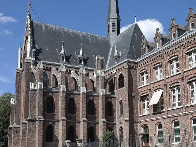
Photo: Choinowski · Wikimedia Commons · CC BY-SA 4.0View the photo on Wikimedia CommonsSimpelveld Si1
Easy6.8 km · ± 1:40 h · ↗ 77 m · Circular walk · start Simpelveld
0 public toilets0 water fountains and refill points27 benches and picnic tables
- 5
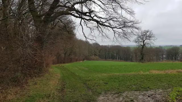
5.9 km · ± 1:25 h · ↗ 68 m · Circular walk · start Gulpen-Wittem
0 public toilets0 water fountains and refill points8 benches and picnic tables
- 6
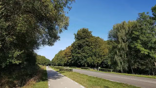
3.9 km · ± 55 min · ↗ 16 m · Circular walk · start Simpelveld
0 public toilets0 water fountains and refill points5 benches and picnic tables
- 7
5.4 km · ± 1:20 h · ↗ 87 m · Circular walk · start Simpelveld
0 public toilets1 water point23 benches and picnic tables
- 8
8.2 km · ± 1:55 h · ↗ 69 m · Circular walk · start Simpelveld
0 public toilets0 water fountains and refill points8 benches and picnic tables
- 9
4 km · ± 1:00 h · ↗ 87 m · Circular walk · start Simpelveld
0 public toilets0 water fountains and refill points4 benches and picnic tables
- 10
4.9 km · ± 1:10 h · ↗ 40 m · Circular walk · start Simpelveld
0 public toilets0 water fountains and refill points4 benches and picnic tables
All 6 walks from Simpelveld, A to Z
Points of interest along the walks
Along the 10 best walks.
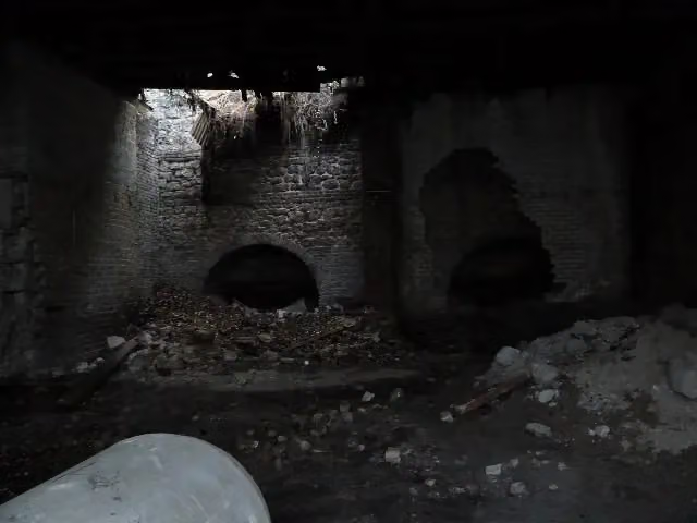 Story
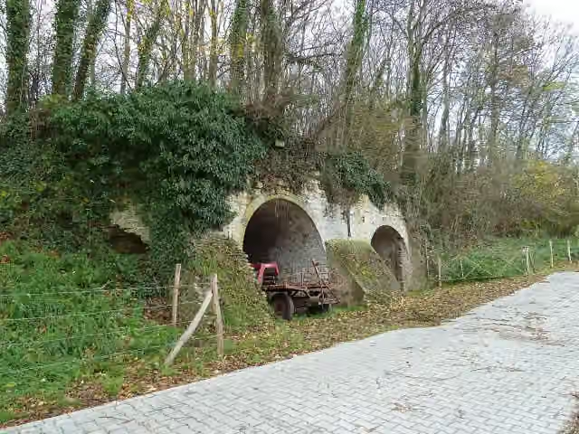
Kalkoven Kurvers
Ruins · along 2 walks
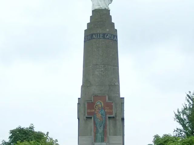
Mariamonument
Monument · along 1 walk
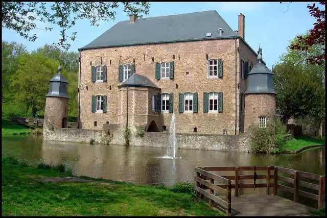 Audio story · 2 min
i
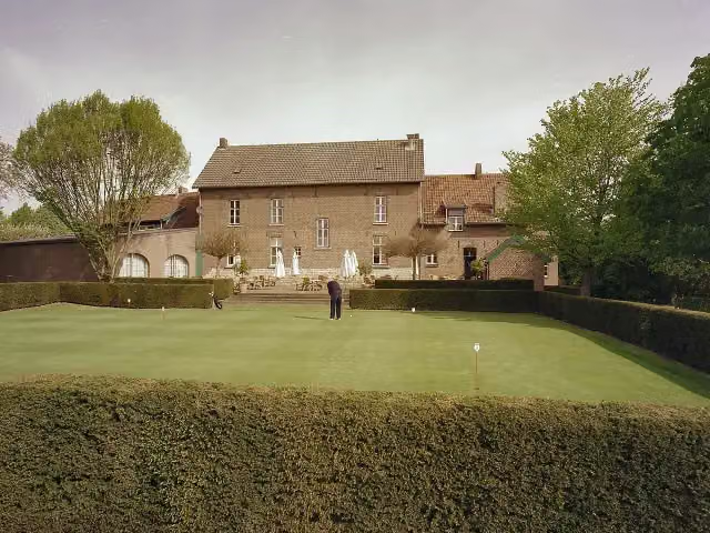
Photo: Marianne Cornelissen-Kuyt · Wikimedia Commons · CC BY-SA 4.0View the photo on Wikimedia CommonsKasteel Erenstein
Castle · along 1 walk
- Story
Huis De Torentjes
Castle · along 1 walk
Hoenshuis
Castle · along 1 walk
Kasteel Puth
Castle · along 1 walk
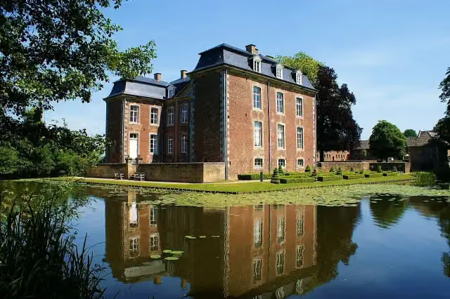 Audio story · 2 min
i
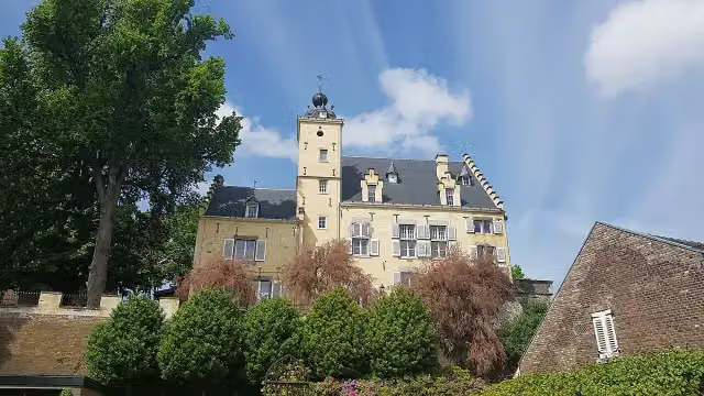
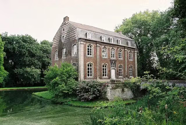
Photo: Kasteelbeer · Wikimedia Commons · CC BY-SA 3.0 nlView the photo on Wikimedia CommonsKasteel Cortenbach
Castle · along 1 walk
- Story
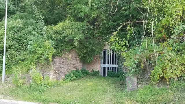
Kalkoven Sieben
Ruins · along 1 walk
Walks per place in Limburg
30 places have their own guide.
- Beek13 ›
- Beekdaelen37 ›
- Beesel11 ›
- Bergen16 ›
- Brunssum5 ›
- Echt-Susteren16 ›
- Eijsden-Margraten69 ›
- Gennep16 ›
- Gulpen-Wittem84 ›
- Heerlen11 ›
- Horst aan de Maas7 ›
- Kerkrade9 ›
- Landgraaf6 ›
- Leudal20 ›
- Maasgouw9 ›
- Maastricht39 ›
- Meerssen11 ›
- Mook en Middelaar14 ›
- Nederweert13 ›
- Peel en Maas12 ›
- Roerdalen11 ›
- Roermond14 ›
- Sittard-Geleen20 ›
- Stein8 ›
- Vaals42 ›
- Valkenburg aan de Geul50 ›
- Venlo23 ›
- Venray7 ›
- Voerendaal23 ›
- Weert38 ›
Explore further
Frequently asked questions
How many walks are there in Simpelveld?
The Outdoor Pitstop map has 11 walks in Simpelveld.
What is the best walk in Simpelveld?
At the top of this guide is Dutch Mountain Trail (77 km, hard). Next come Voerendaal V16 Vrouwenheide and Voerendaal V19 Kalkoven route.
Are there circular walks in Simpelveld?
Yes, for example Voerendaal V16 Vrouwenheide, Voerendaal V19 Kalkoven route and Simpelveld Si1.
Which walks in Simpelveld have a toilet along the way?
In this guide, Dutch Mountain Trail and Voerendaal V16 Vrouwenheide have a public toilet along the route.
Popular nearby
Guides of places nearby





