 Outdoor Pitstop
Walking guide Peel en Maas · Updated on 5 November 2026
The best walks in Peel en Maas
Peel en Maas has 12 walks on the Outdoor Pitstop map. The 10 best are 10.2 km long on average; 6 of them are circular walks. Along the way you find 154 benches and picnic tables, 4 water fountains and refill points and 12 public toilets in total.
i
i
The 10 best walks
In the order of our score: a photo, points of interest along the way, a toilet or water point, a circular walk, a description and how often people search for the route.
The best walking route in Peel en Maas is Maas-Niederrheinpad etappe 19 (21.4 km, hard).
The numbers on the map are the routes below, at their starting point. Pitstops count up to 100 m from the route. Walking time assumes 4.5 km an hour plus 10 minutes per 100 m of ascent.
- 1
i
Photo: Kleon3 · Wikimedia Commons · CC BY-SA 4.0View the photo on Wikimedia CommonsMaas-Niederrhein Trail stage 19
21.4 km · ± 4:50 h · ↗ 38 m · From A to B · start Beesel
12 public toilets2 water fountains and refill points66 benches and picnic tables
- 2
i
Photo: Groucho M · Wikimedia Commons · CC BY-SA 3.0View the photo on Wikimedia CommonsAcross Brabant - 16
21.3 km · ± 4:45 h · ↗ 14 m · From A to B · start Peel en Maas
0 public toilets1 water point28 benches and picnic tables
- 3
Across Brabant - 15
22.6 km · ± 5:00 h · ↗ 9 m · From A to B · start Deurne
0 public toilets1 water point9 benches and picnic tables
- 4
Krayelheideroute
Moderate10.4 km · ± 2:20 h · ↗ 10 m · Circular walk · start Peel en Maas
0 public toilets0 water fountains and refill points12 benches and picnic tables
- 5
6.6 km · ± 1:30 h · Circular walk · start Peel en Maas
0 public toilets0 water fountains and refill points6 benches and picnic tables
- 6
Marisberg route
Easy5.5 km · ± 1:15 h · Circular walk · start Peel en Maas
0 public toilets0 water fountains and refill points10 benches and picnic tables
- 7
Hanssum route
Easy6.2 km · ± 1:25 h · ↗ 9 m · Circular walk · start Leudal
0 public toilets0 water fountains and refill points17 benches and picnic tables
- 8
Fladderpad
EasyFladder Trail
2.9 km · ± 40 min · Circular walk · start Peel en Maas
0 public toilets0 water fountains and refill points4 benches and picnic tables
- 9
Kwistbeek route
Easy3.8 km · ± 50 min · ↗ 3 m · Circular walk · start Peel en Maas
0 public toilets0 water fountains and refill points2 benches and picnic tables
- 10
1.3 km · ± 15 min · From A to B · start Peel en Maas
0 public toilets0 water fountains and refill points0 benches and picnic tables
All 7 walks from Peel en Maas, A to Z
Long-distance paths through Peel en Maas
Walks of several days, in stages.
i
Photo: Michielverbeek · Wikimedia Commons · CC BY-SA 3.0 nlView the photo on Wikimedia Commonsi
Photo: Kleon3 · Wikimedia Commons · CC BY-SA 4.0View the photo on Wikimedia Commons
Points of interest along the walks
Along the 10 best walks.
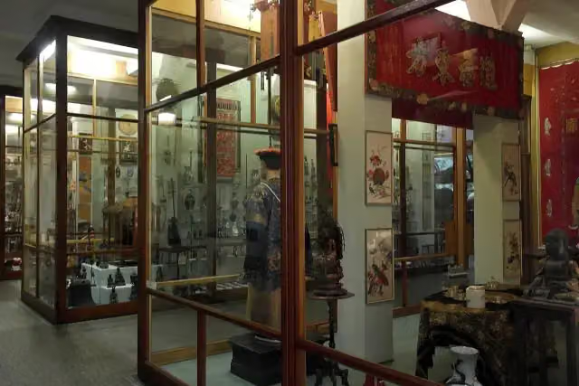
Missiemuseum Steyl
Museum · along 1 walk
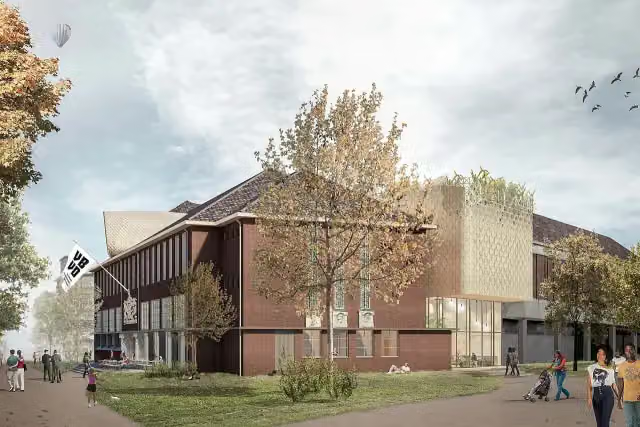 Audio story · 2 min
i
Photo: CommunicatieMVBVD · Wikimedia Commons · CC BY-SA 4.0View the photo on Wikimedia CommonsMuseum van Bommel van Dam
Museum · along 1 walk
 Audio story · 2 min
i
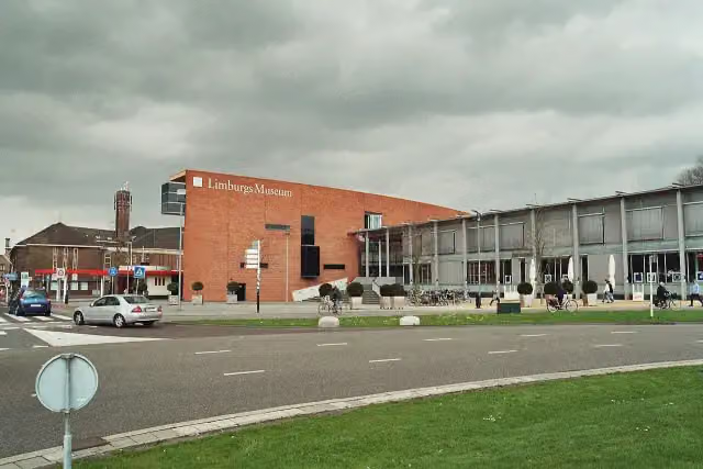
Photo: Markus Schweiss · Wikimedia Commons · CC BY-SA 3.0View the photo on Wikimedia CommonsLimburgs Museum
Museum · along 1 walk
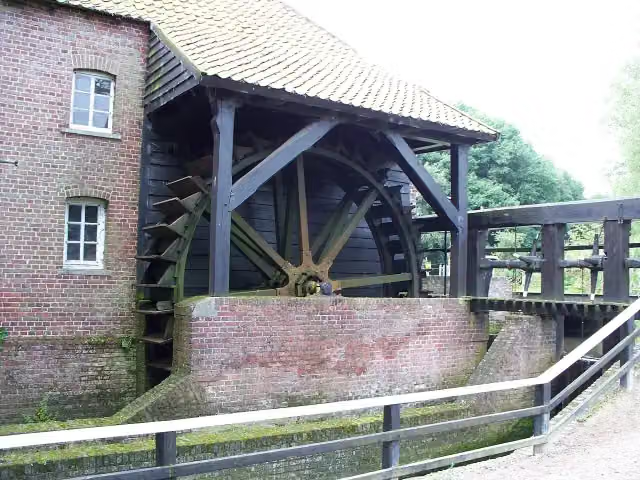
Leumolen
Attraction · along 1 walk
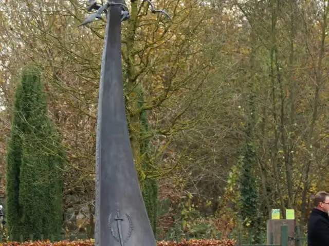
Monument van Verdraagzaamheid
Memorial · along 1 walk

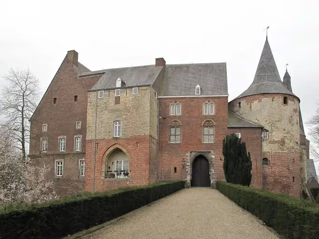
Fort · along 1 walk
Observation tower · along 1 walk
Observation tower · along 1 walk
Walks per place in Limburg
30 places have their own guide.
- Beek13 ›
- Beekdaelen37 ›
- Beesel11 ›
- Bergen16 ›
- Brunssum5 ›
- Echt-Susteren16 ›
- Eijsden-Margraten69 ›
- Gennep16 ›
- Gulpen-Wittem84 ›
- Heerlen11 ›
- Horst aan de Maas7 ›
- Kerkrade9 ›
- Landgraaf6 ›
- Leudal20 ›
- Maasgouw9 ›
- Maastricht39 ›
- Meerssen11 ›
- Mook en Middelaar14 ›
- Nederweert13 ›
- Roerdalen11 ›
- Roermond14 ›
- Simpelveld11 ›
- Sittard-Geleen20 ›
- Stein8 ›
- Vaals42 ›
- Valkenburg aan de Geul50 ›
- Venlo23 ›
- Venray7 ›
- Voerendaal23 ›
- Weert38 ›
Explore further
Frequently asked questions
How many walks are there in Peel en Maas?
The Outdoor Pitstop map has 12 walks in Peel en Maas, including 2 long-distance paths in stages.
What is the best walk in Peel en Maas?
At the top of this guide is Maas-Niederrheinpad etappe 19 (21.4 km, hard). Next come Dwars door Brabant - 16 and Dwars door Brabant - 15.
Are there circular walks in Peel en Maas?
Yes, for example Krayelheideroute, Beringerzand route and Marisberg route.
Which walks in Peel en Maas have a toilet along the way?
In this guide, Maas-Niederrheinpad etappe 19 have a public toilet along the route.
Which long-distance paths run through Peel en Maas?
Among others Dwars door Brabant and Maas-Niederrheinpad run through this area.
Popular nearby
Guides of places nearby





