 Outdoor Pitstop
Walking route · Venlo · Maas-Niederrhein Trail · Updated on 5 November 2026
Maas-Niederrheinpad walk
Maas-Niederrheinpad is a walk of 221.3 km from Venlo that starts and ends at the same spot. Along the way: 394 benches and picnic tables, 13 water fountains and refill points, 24 public toilets and 2 bike pumps.
i
i
The route step by step
From start to finish, with what you pass along the way and the distance in between.
- 221.3 km
- ± 3:05 h per stage
- Moderate per stage
- Circular walk
- Regional route
Start in Venlo
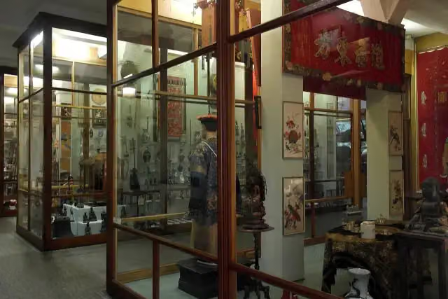
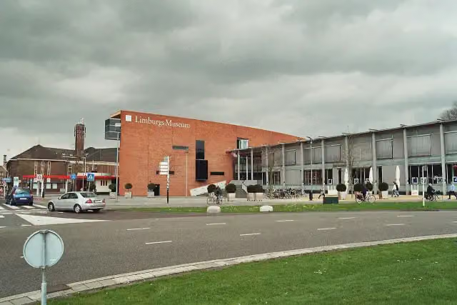
0 kmAt the start: Limburgs Museum and 2 water fountains and refill points.
1.1 km · 9 benches
Public toilet
1.1 km180 m
Water point
1.2 km4.2 km · 23 benches
Public toilet
5.4 km14.4 km · 15 benches
Public toilet
19.8 km642 m · 2 benches
Public toilet
20.4 km1 km · 10 benches
Public toilet
21.4 km193 m · 3 benches
Public toilet
21.6 km21.8 km · 39 benches

Kasteel Well
43.4 kmCastle
4.7 km · 8 benches
2 public toilets
48.1 km33.2 km · 39 benches
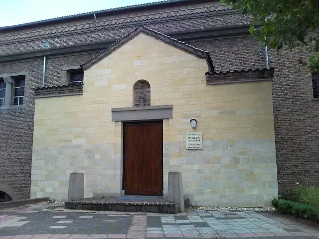
De Crypte
81.2 kmMuseum
412 m · 3 benches
Water point
81.7 km7.7 km · 17 benches
2 water fountains and refill points
89.3 km338 m · bench
Romeinse villa Plasmolen
89.6 kmArchaeological site
6.1 km · 22 benches
Mookerschans and 1 more
95.7 kmMookerschans
4.1 km · 11 benches
Water point
99.8 km5.6 km · 8 benches
2 bike pumps
105.4 km30.3 km · 26 benches
Roerstreekmuseum
135.7 kmMuseum
22.6 km · 30 benches
Public toilet
158.3 km724 m · 2 benches
Water point
159.1 km1 km · 12 benches
2 public toilets
160.1 km25.3 km · 33 benches
Fort Sint-Brigitte
185.4 kmFort
8.2 km · 18 benches
Missiemuseum Steyl
193.6 kmMuseum
1.1 km · 3 benches
Uitkijktoren Baarlo
194.7 kmObservation tower
5.6 km · 23 benches
9 public toilets
200.3 km183 m · bench
3 public toilets
200.5 km196 m · bench
Museum van Bommel van Dam
200.7 km2 water fountains and refill points
8.2 km · 5 benches
Fort Hazepoot
208.9 kmArchaeological site
1.5 km · 2 benches
Public toilet and 2 water fountains and refill points
210.3 km3.7 km · 7 benches
Water point
214.1 km
Show the other 1 steps
7.3 km · 20 benches
Back at the start
221.3 km
Longest stretch without a toilet: 110.2 kmBetween 48.1 km and 158.3 km there is no public toilet within 100 m of the route.
The route with the water points, toilets and sights within 100 m of it.
12 sights along the way
In the order you pass them. With the Outdoor Pitstop app you hear their story on the spot. 4 more along the route are on the map.
- Audio story · 2 min
i
Photo: Markus Schweiss · Wikimedia Commons · CC BY-SA 3.0View the photo on Wikimedia CommonsLimburgs Museum
Museum · after 7 m

Castle · after 43.4 km
- Story
De Crypte
Museum · after 81.2 km
Romeinse villa Plasmolen
Archaeological site · after 89.6 km
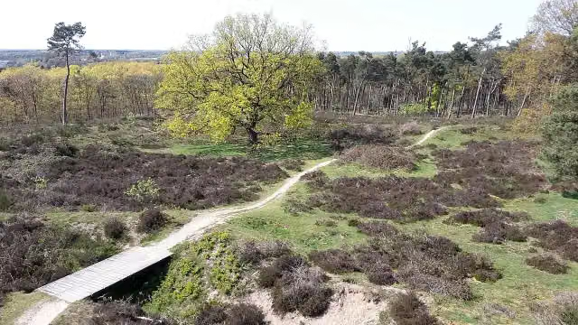
Observation tower · after 95.7 km
i
Photo: Take Mirrenberg · Wikimedia Commons · CC BY-SA 4.0View the photo on Wikimedia CommonsArchaeological site · after 95.8 km
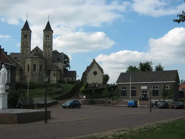 Story
i
Photo: Norbert Schnitzler · Wikimedia Commons · CC BY-SA 3.0View the photo on Wikimedia CommonsRoerstreekmuseum
Museum · after 135.7 km
Fort · after 185.4 km
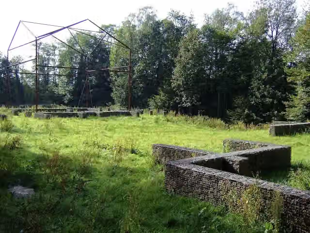
Stages (16)
- 1Maas-Niederrheinpad etappe 01Maas-Niederrhein Trail stage 0121 km
- 2Maas-Niederrheinpad etappe 02Maas-Niederrhein Trail stage 0217.5 km
- 3Maas-Niederrheinpad etappe 03Maas-Niederrhein Trail stage 0317.3 km
- 4Maas-Niederrheinpad etappe 04Maas-Niederrhein Trail stage 0416.9 km
- 5Maas-Niederrheinpad etappe 05Maas-Niederrhein Trail stage 0516.6 km
- 6Maas-Niederrheinpad etappe 06Maas-Niederrhein Trail stage 0616.1 km
- 7Maas-Niederrheinpad etappe 07Maas-Niederrhein Trail stage 077.2 km
- 8Maas-Niederrheinpad etappe 15Maas-Niederrhein Trail stage 1512.4 km
- 9Maas-Niederrheinpad etappe 16Maas-Niederrhein Trail stage 1617.4 km
- 10Maas-Niederrheinpad etappe 17Maas-Niederrhein Trail stage 1717.7 km
- 11Maas-Niederrheinpad etappe 18Maas-Niederrhein Trail stage 1819.3 km
- 12Maas-Niederrheinpad etappe 19Maas-Niederrhein Trail stage 1921.4 km
- 13Maas-Niederrheinpad etappe 20Maas-Niederrhein Trail stage 204.4 km
- 14Maas-Niederrheinpad etappe 21Maas-Niederrhein Trail stage 215.1 km
- 15Maas-Niederrheinpad etappe 22Maas-Niederrhein Trail stage 224.8 km
- 16Maas-Niederrheinpad etappe 23Maas-Niederrhein Trail stage 236.2 km
Elevation and terrain
Way types
221.3 km in total- Track: 86.8 km
- Path: 65.2 km
- Road: 30.8 km
- Cycleway: 18.2 km
- Street: 11.8 km
- Footpath: 6.9 km
- Stairs: 7 stairs
- Busy road: 186 m
- Unknown: 175 m
Surfaces
221.3 km in total- Unpaved: 37.2 km
- Gravel: 34.6 km
- Asphalt: 23.9 km
- Natural: 18.7 km
- Paved: 14.1 km
- Unknown: 91.9 km
About the walking route Maas-Niederrheinpad
Updated on 5 November 2026, with data from OpenStreetMap and the AHN.
Where do you walk?
Maas-Niederrheinpad is a circular walk of 221.3 km from Venlo: it starts and ends in the same place. Along the way you pass Limburgs Museum (after 7 m), Kasteel Well (after 43.4 km) and De Crypte (after 81.2 km).
How hard is the route?
There are 7 flights of steps along the way. Allow ± 3:05 h per stage, without breaks. The level is moderate per stage.
What paths do you walk on?
The longest part is track (86.8 km), path (65.2 km) and road (30.8 km). Of the surface, 37.2 km unpaved and 34.6 km gravel. For 91.9 km the surface is not known.
Pitstops along the way
Within 100 metres of the route there are 394 benches and picnic tables, 13 water fountains and refill points, 24 public toilets and 2 bike pumps. The longest stretch without a toilet is 110.2 km. The Outdoor Pitstop app navigates you there.
Walks nearby
6- Pieterpad deel 2 - 08Hard · From A to B20.9 km
- Pieterpad deel 2 - 09Hard · From A to B21.8 km
- NS-wandeling Krickenbecker SeenEasy · From A to B4.7 km
- Jakobs-Pilgerweg Nijmegen-Maastricht-LüttichHard · From A to B143.1 km
- KrayelheiderouteModerate · Circular walk10.4 km
- KoelbroekrouteEasy · Circular walk5.2 km
Sights nearby
Within 10 km of the route, best known first.
- 1
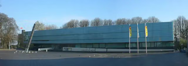 Valkhof MuseumMuseum · 8.7 km from the route
- 2
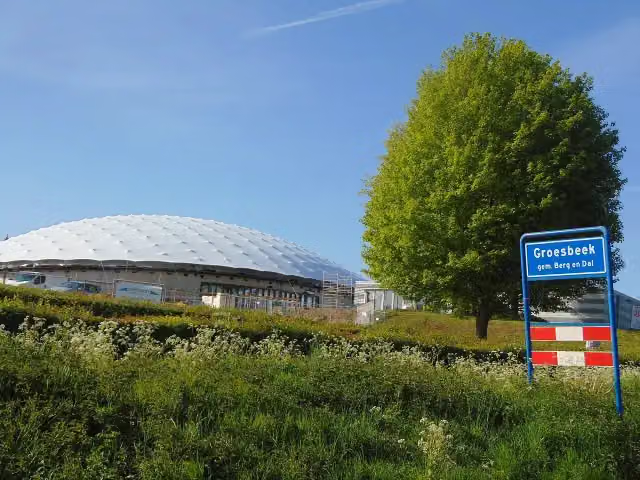 Freedom MuseumMuseum · 3.1 km from the route
- 3
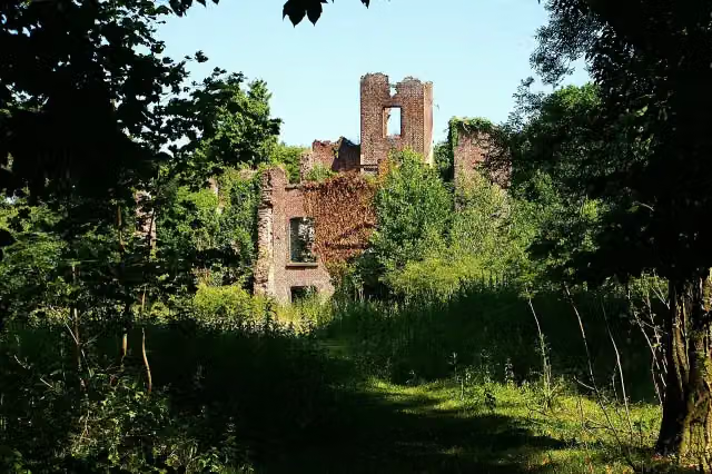 Kasteel BleijenbeekCastle · 652 m from the route
- 4
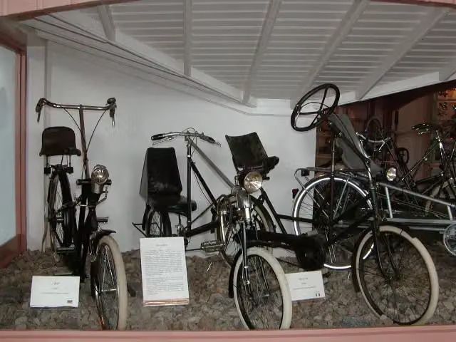 Nationaal Fietsmuseum VeloramaMuseum · 8.9 km from the route
- 5
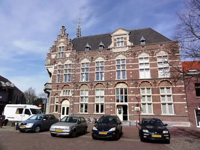 Museum van de VrouwMuseum · 4.7 km from the route
- 6
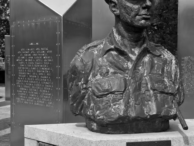 Nationaal Indië MonumentMemorial · 1.1 km from the route
- 7
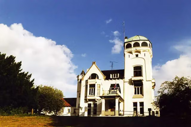 Jachtslot De MookerheideCastle · 179 m from the route
- 8
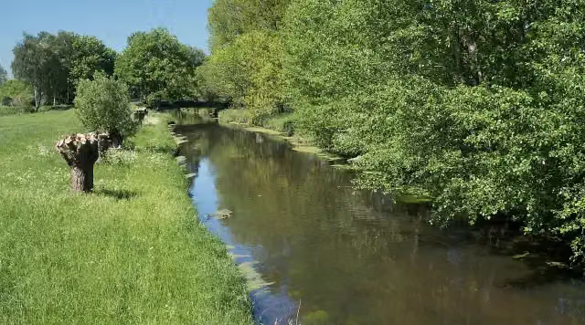 NiersmündungAttraction · 336 m from the route
- 9
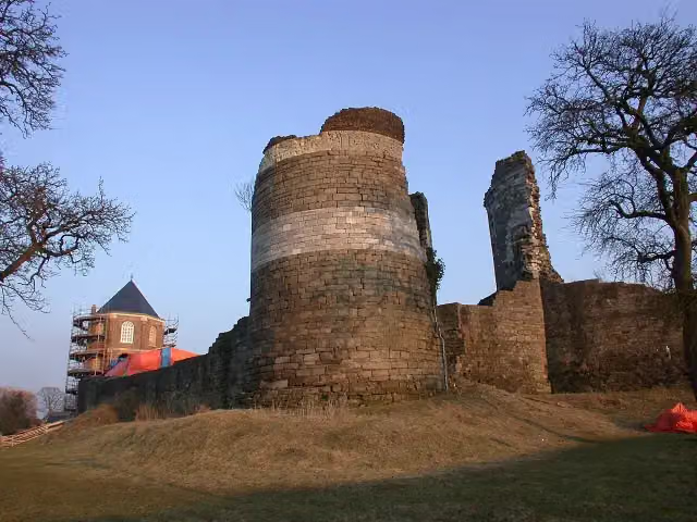 Kasteelruïne MontfortRuins · 486 m from the route
- 10
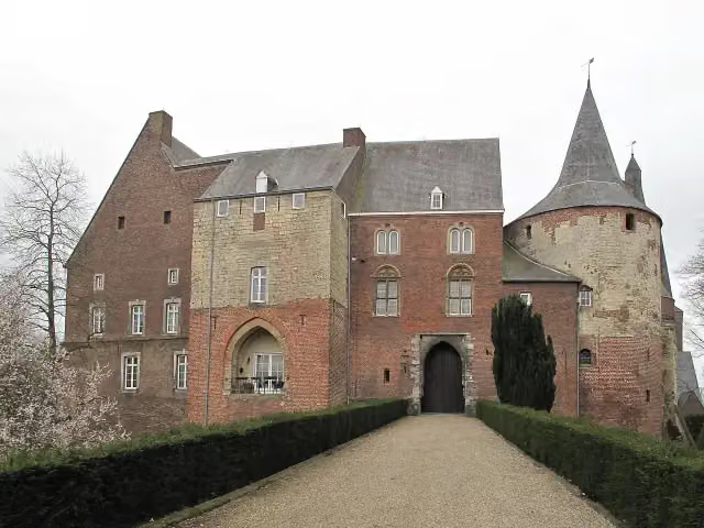 Kasteel HornCastle · 2.3 km from the route
- 11
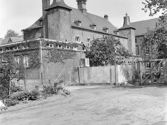 Kasteel ExatenCastle · 6.2 km from the route
- 12
 MuZIEumMuseum · 8.6 km from the route
- 13
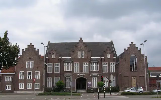 CuypershuisMuseum · 524 m from the route
- 14
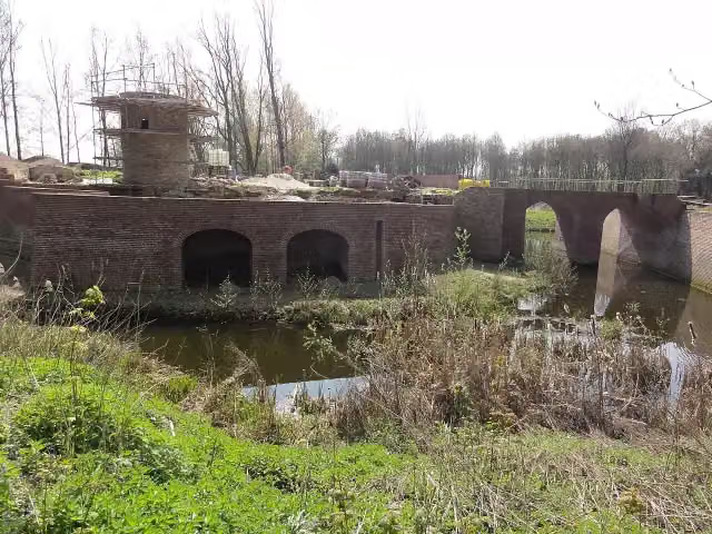 Kasteel GeijsterenCastle · 2.3 km from the route
- 15
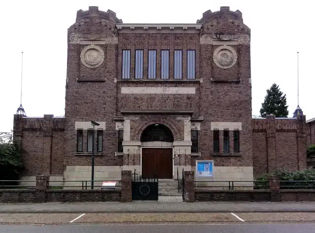 Museum KamMuseum · 8.1 km from the route
- 16
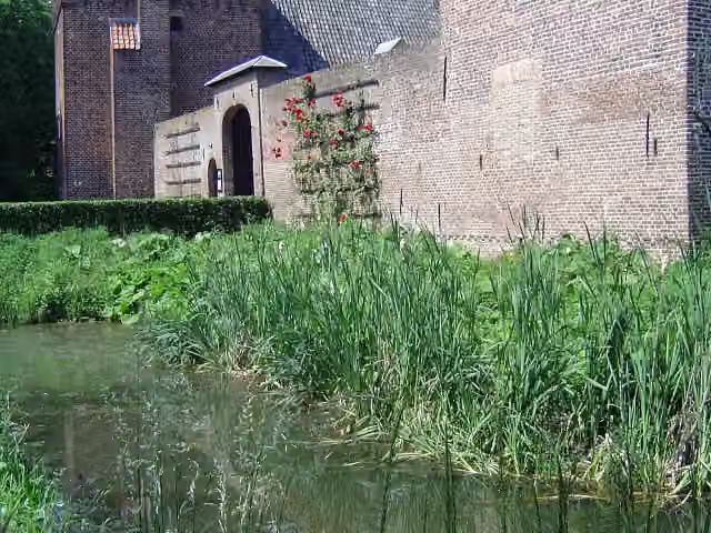 Kasteel TongelaarCastle · 8.6 km from the route
- 17
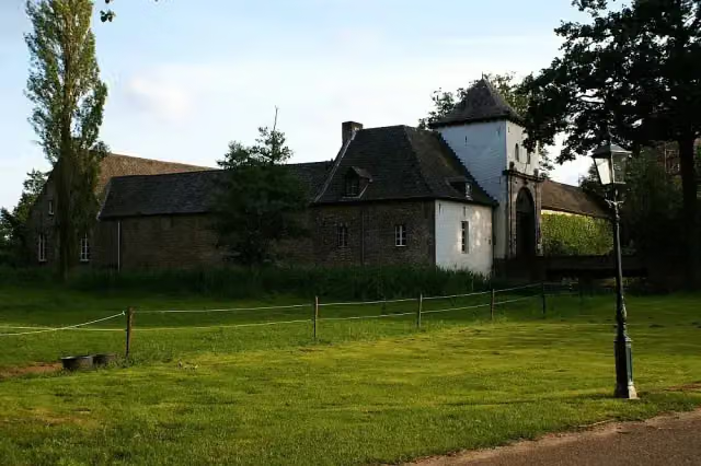 Kasteel DaelenbroeckCastle · 209 m from the route
- 18
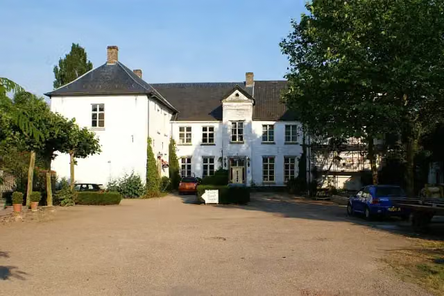 Kasteel BaexemCastle · 6.7 km from the route
- 19
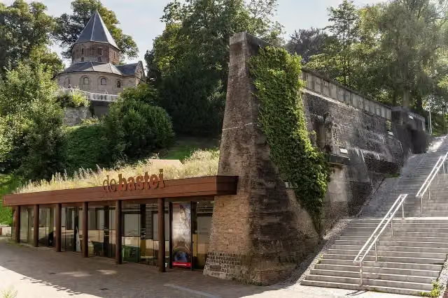 Museum De BasteiMuseum · 8.9 km from the route
- 20
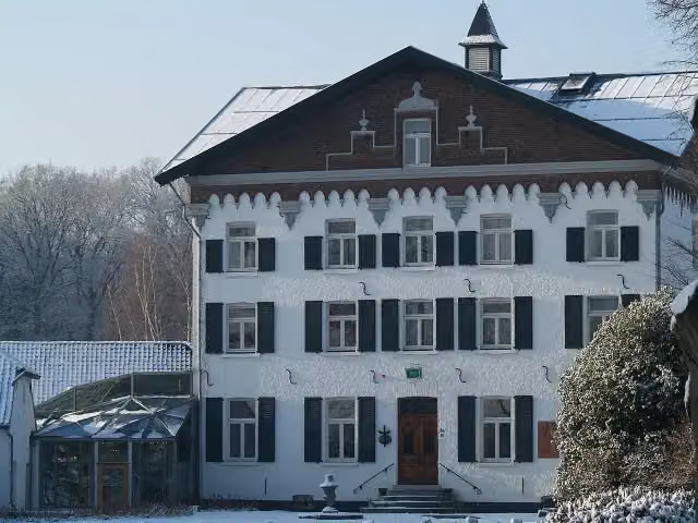 Kasteel De RaayCastle · 2.2 km from the route
- 21
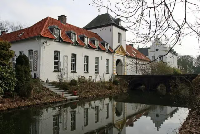 Kasteel NieuwenbroeckCastle · 250 m from the route
- 22
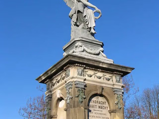 SpoorwegmonumentMemorial · 8.8 km from the route
- 23
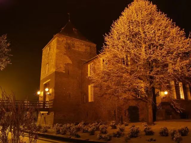 Kasteel D'ErpCastle · 1.2 km from the route
- 24
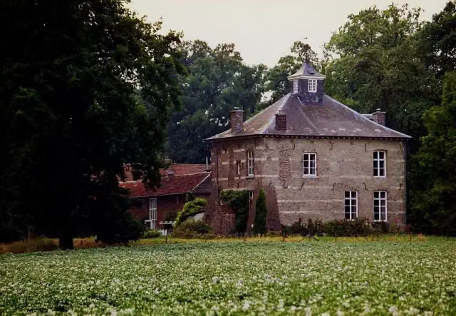 Huis NederhovenCastle · 2.4 km from the route
- 25
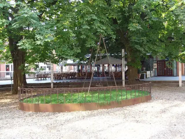 De SchommelMemorial · 8.7 km from the route
Explore more
Frequently asked questions
How long is Maas-Niederrheinpad?
Maas-Niederrheinpad is 221.3 km long, in 16 stages of 13.8 km on average. Allow ± 3:05 h per stage of walking: 4.5 km an hour and 10 minutes more per 100 metres of climbing, without breaks.
Is this route a circular walk?
Yes, the route starts and ends at the same spot.
Where does this route start?
The route starts in Venlo.
How hard is this route?
Moderate per stage.
Are there toilets along this route?
Yes, there are 24 public toilets within 100 m of the route. The longest stretch without a toilet is 110.2 km.
Can you fill up with water along this route?
Yes, there are 13 water fountains and refill points within 100 m of the route.
What is there to see along this route?
Along the way you pass Limburgs Museum, Kasteel Well and De Crypte.
Start place
More routes from this place
Route data © OpenStreetMap contributors





