 Outdoor Pitstop
Walking route · Bergen op Zoom · Across Brabant · Updated on 5 November 2026
Dwars door Brabant walk
Dwars door Brabant is a walk of 289.2 km from Bergen op Zoom. Along the way: 479 benches and picnic tables, 17 water fountains and refill points, 11 public toilets and 1 bike pump.
i
i
The route step by step
From start to finish, with what you pass along the way and the distance in between.
- 289.2 km
- ± 3:50 h per stage
- ↑ 157 m · ↓ 136 m
- Moderate per stage
- From A to B
- National route
Start in Bergen op Zoom
0 kmAt the start: public toilet and water point.
12 km · 17 benches
Water point
12 km13.7 km · 7 benches
Water point
25.7 km9.9 km · 3 benches

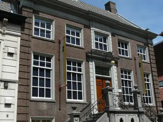
Zouavenmuseum
35.6 kmMuseum
1.1 km · 20 benches
2 public toilets and 2 water fountains and refill points
36.7 km24.1 km · 15 benches
Water point
60.8 km395 m · 3 benches
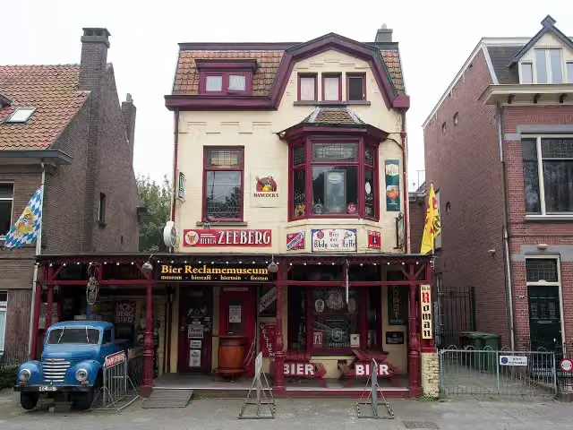
Bierreclame Museum
61.2 kmMuseum
1.5 km · 6 benches
Public toilet
62.7 km253 m · bench
Water point
62.9 km894 m · 15 benches
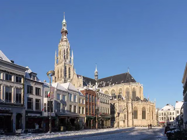
Grote Kerk
63.8 kmPublic toilet
154 m · 8 benches
2 water fountains and refill points
64 km175 m · 4 benches
Miniaturen- en poppenhuismuseum Breda and 1 more
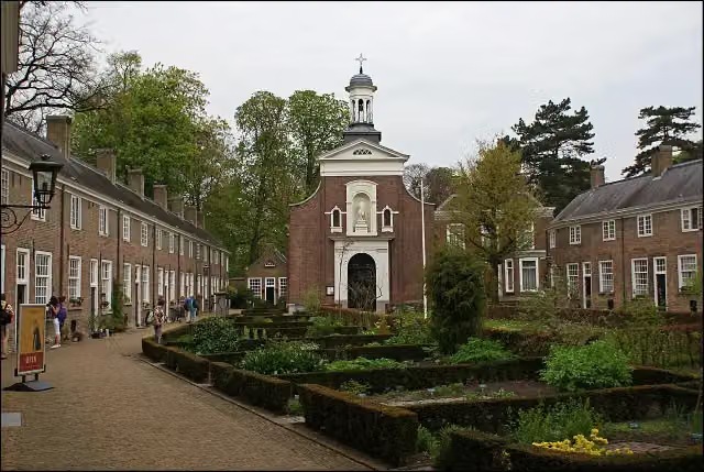
64.2 kmBegijnhof and public toilet
189 m · 6 benches
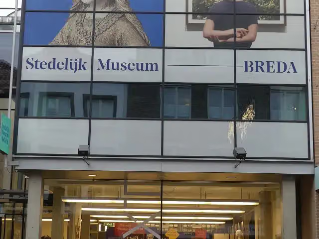
Stedelijk Museum Breda
64.4 kmPublic toilet
16.4 km · 30 benches
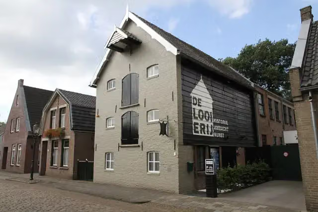
De Looierij
80.7 kmMuseum
28.7 km · 34 benches
Public toilet and bike pump
109.4 km17.9 km · 67 benches
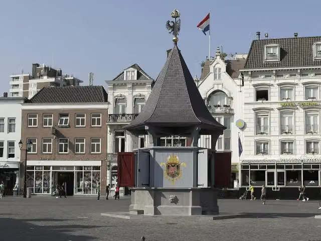
Puthuis
127.3 kmWater point
421 m
Water point
127.8 km8.7 km · 20 benches
Onverflout
136.5 kmObservation tower
10.8 km · 9 benches
Kasteel Heeswijk
147.2 kmCastle · Audio story · 2 min
16.9 km · 27 benches
Public toilet and water point
164.1 km200 m · 22 benches
Public toilet
164.3 km1.9 km · 30 benches
Water point
166.2 km17.6 km · 43 benches
Observation tower
183.9 kmObservation tower
17.2 km · 13 benches
De Stip
201.1 kmObservation tower
45.2 km · 20 benches
Water point
246.3 km5.3 km · 5 benches
Belfort De Vossenberg
251.6 kmObservation tower
23.9 km · 20 benches
Leumolen
275.5 kmAttraction
1.1 km · 6 benches
Monument van Verdraagzaamheid
276.7 km2 water fountains and refill points
7.7 km · 10 benches
Kasteel Horn
284.3 kmCastle · Audio story · 2 min
3.8 km · 4 benches
Water point
288.1 km
Show the other 1 steps
1 km · 14 benches
Finish
289.2 kmAt the finish: public toilet.
Longest stretch without a toilet: 124.8 kmBetween 164.3 km and 289.2 km there is no public toilet within 100 m of the route.
The route with the water points, toilets and sights within 100 m of it.
16 sights along the way
In the order you pass them. With the Outdoor Pitstop app you hear their story on the spot. 8 more along the route are on the map.
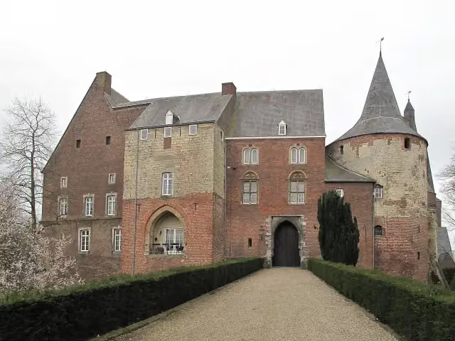
Zouavenmuseum
Museum · after 35.6 km
Museum · after 61.2 km
 Audio story · 2 min
i
Photo: MichielverbeekNL · Wikimedia Commons · CC BY-SA 3.0 nlView the photo on Wikimedia CommonsGrote Kerk
Attraction · after 63.9 km

Museum · after 64.2 km
Begijnhof
Attraction · after 64.2 km
Stedelijk Museum Breda
Museum · after 64.4 km
De Looierij
Museum · after 80.7 km
Puthuis
Attraction · after 127.3 km
Stages (17)
Elevation and terrain
- Up
- ↑ 157 m
- Down
- ↓ 136 m
- Highest point
- 35 m
- Lowest point
- -1 m
- 11 stairs
Elevation from AHN (Rijkswaterstaat), smoothed.
Way types
289.2 km in total- Road: 95.6 km
- Track: 65.6 km
- Path: 52.4 km
- Cycleway: 42.1 km
- Footpath: 17 km
- Street: 14.5 km
- Busy road: 725 m
- Stairs: 11 stairs
Surfaces
289.2 km in total- Asphalt: 74.4 km
- Natural: 40.2 km
- Unpaved: 33.4 km
- Paved: 19.5 km
- Gravel: 17.7 km
- Unknown: 103.3 km
About the walking route Dwars door Brabant
Updated on 5 November 2026, with data from OpenStreetMap and the AHN.
Where do you walk?
Dwars door Brabant is a walking route of 289.2 km that starts in Bergen op Zoom. It does not end where it starts. You start in Bergen op Zoom and finish in Roermond. Along the way you pass Zouavenmuseum (after 35.6 km), Bierreclame Museum (after 61.2 km) and Grote Kerk (after 63.9 km).
How hard is the route?
You climb 157 m in total and descend 136 m. There are 11 flights of steps along the way. Allow ± 3:50 h per stage, without breaks. The level is moderate per stage.
What paths do you walk on?
The longest part is road (95.6 km), track (65.6 km) and path (52.4 km). Of the surface, 74.4 km asphalt and 40.2 km natural. For 103.3 km the surface is not known.
Pitstops along the way
Within 100 metres of the route there are 479 benches and picnic tables, 17 water fountains and refill points, 11 public toilets and 1 bike pump. The longest stretch without a toilet is 124.8 km. The Outdoor Pitstop app navigates you there.
Dwars door Brabant ("Across Brabant") runs from Bergen op Zoom to Roermond, by way of Breda and 's-Hertogenbosch. You walk through nature areas such as the Brabantse Wal, the Loonse en Drunense Duinen and Van Gogh National Park, and pass Heeswijk Castle and Horn Castle. The path replaced the Hertogenpad and opened in May 2026.
Source: Wikipedia (CC BY-SA)
Sights nearby
Within 10 km of the route, best known first.
- 1
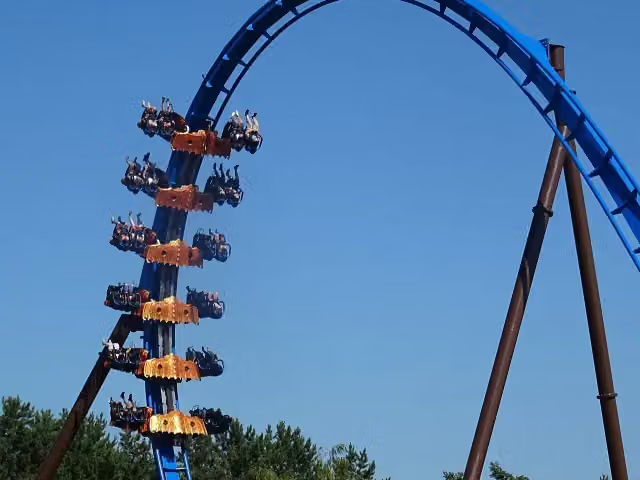 FēnixAttraction · 4.6 km from the route
- 2
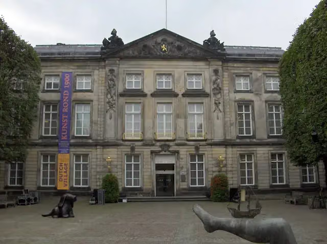 Het Noordbrabants MuseumMuseum · 181 m from the route
- 3
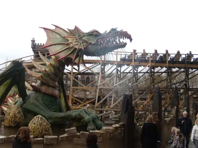 Joris en de DraakAttraction · 210 m from the route
- 4
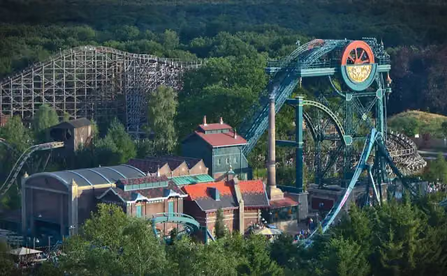 Baron 1898Attraction · 364 m from the route
- 5
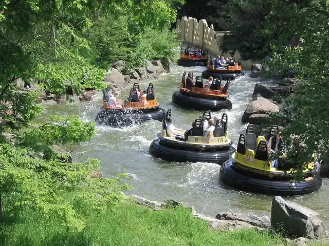 PirañaAttraction · 428 m from the route
- 6
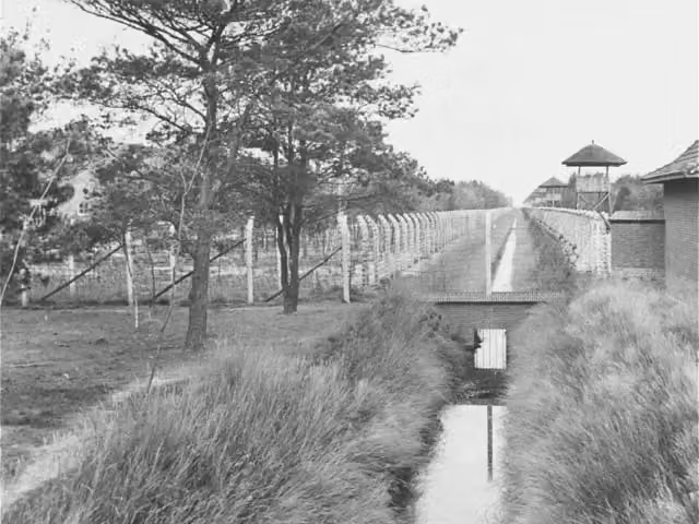 Concentration Camp MuseumMuseum · 2.1 km from the route
- 7
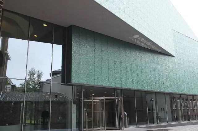 Design Museum Den BoschMuseum · 242 m from the route
- 8
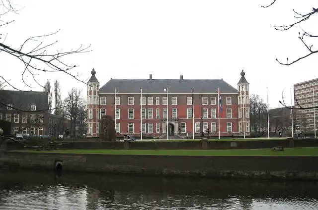 Kasteel van BredaCastle · 228 m from the route
- 9
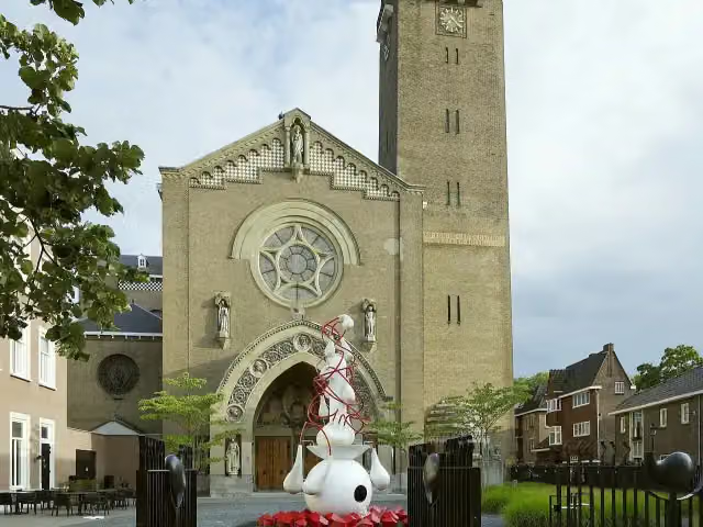 Jheronimus Bosch Art CenterMuseum · 297 m from the route
- 10
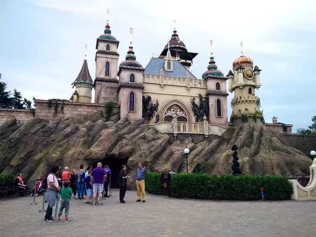 SymbolicaAttraction · 525 m from the route
- 11
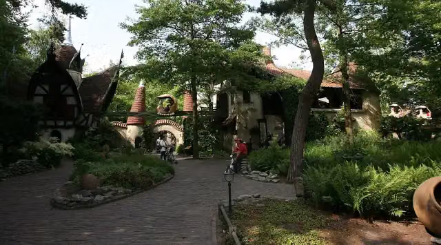 Volk van LaafAttraction · 854 m from the route
- 12
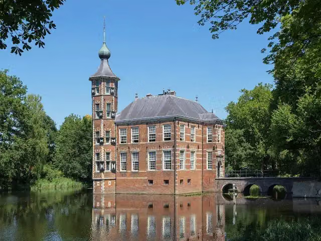 Kasteel BouvigneCastle · 2.8 km from the route
- 13
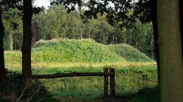 Fort De RoovereFort · 2.9 km from the route
- 14
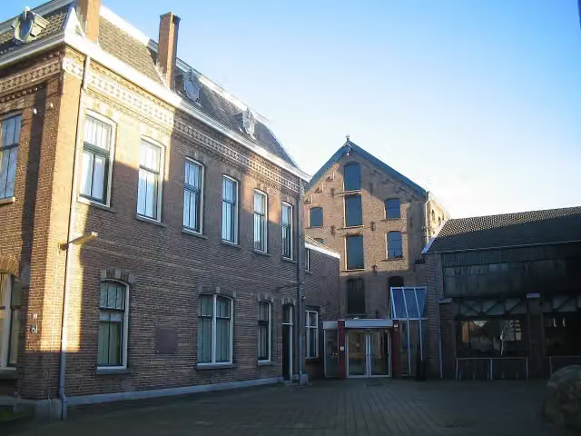 TextielmuseumMuseum · 5.2 km from the route
- 15
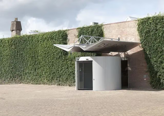 Museum De PontMuseum · 5.4 km from the route
- 16
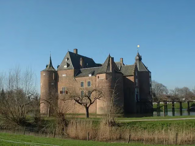 Ammersoyen CastleAttraction · 6.8 km from the route
- 17
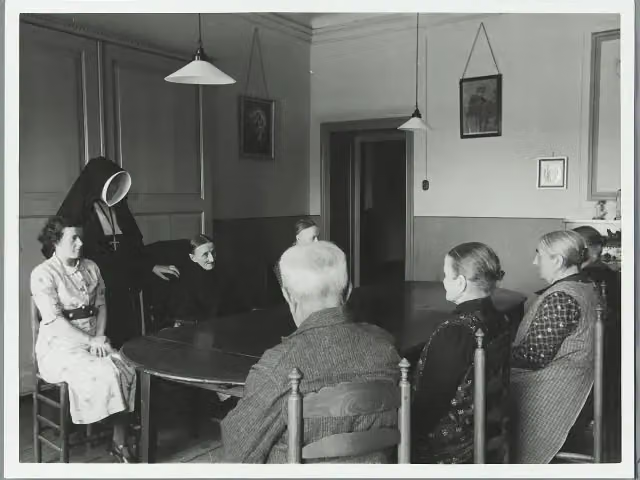 Kasteel CroyCastle · 9.3 km from the route
- 18
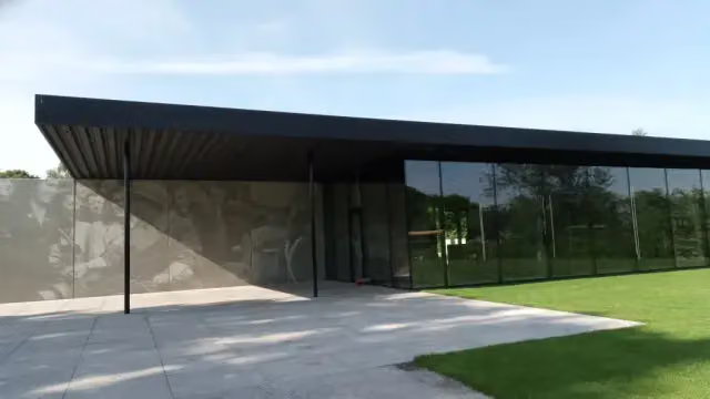 Maczek Memorial BredaMuseum · 317 m from the route
- 19
 AquanuraAttraction · 700 m from the route
- 20
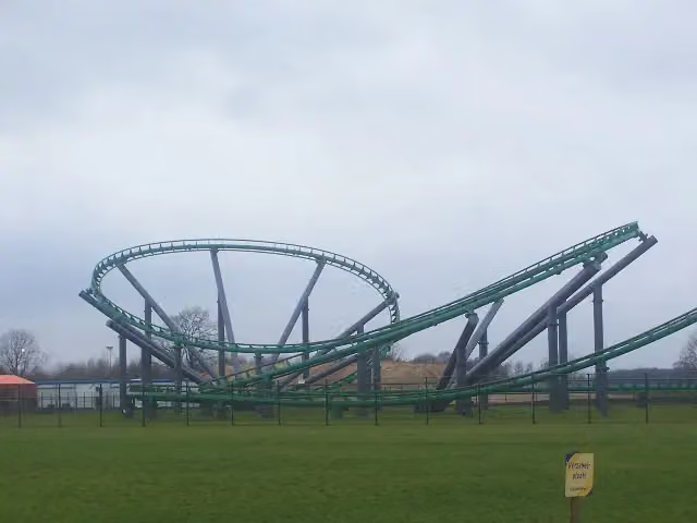 Booster BikeAttraction · 4.7 km from the route
- 21
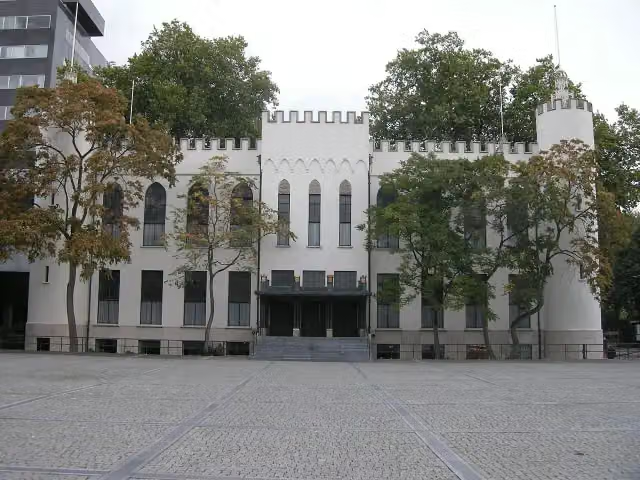 Paleis-RaadhuisCastle · 7 km from the route
- 22
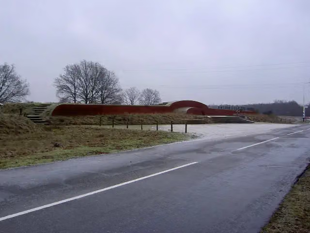 VorstengrafArchaeological site · 7.1 km from the route
- 23
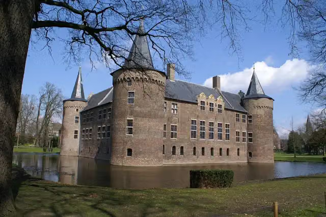 Kasteel van HelmondCastle · 9 km from the route
- 24
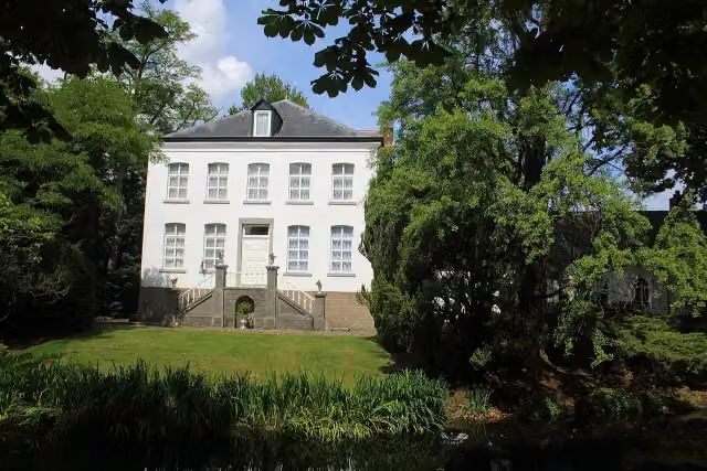 Kasteel NijenborghCastle · 9.9 km from the route
- 25
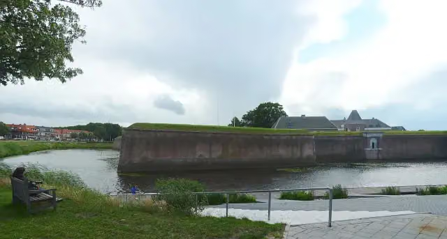 Citadel of 's-HertogenboschCastle · 590 m from the route
Explore more
Frequently asked questions
How long is Dwars door Brabant?
Dwars door Brabant is 289.2 km long, in 17 stages of 17 km on average. Allow ± 3:50 h per stage of walking: 4.5 km an hour and 10 minutes more per 100 metres of climbing, without breaks.
Is this route a circular walk?
No, the route runs from Bergen op Zoom to Roermond.
Where does this route start?
The route starts in Bergen op Zoom.
How hard is this route?
Moderate per stage, with 9 m per stage of climbing.
Are there toilets along this route?
Yes, there are 11 public toilets within 100 m of the route. The longest stretch without a toilet is 124.8 km.
Can you fill up with water along this route?
Yes, there are 17 water fountains and refill points within 100 m of the route.
What is there to see along this route?
Along the way you pass Zouavenmuseum, Bierreclame Museum and Grote Kerk.
Start place
More routes from this place
Route data © OpenStreetMap contributors





