 Outdoor Pitstop
Walking guide De Fryske Marren · Updated on 5 November 2026
The best walks in De Fryske Marren
De Fryske Marren has 13 walks on the Outdoor Pitstop map. The 9 best are 17.9 km long on average. Along the way you find 338 benches and picnic tables, 5 water fountains and refill points and 29 public toilets in total.
i
i
The 9 best walks
In the order of our score: a photo, points of interest along the way, a toilet or water point, a circular walk, a description and how often people search for the route.
The best walking route in De Fryske Marren is Zuiderzeepad - 22 (18.1 km, moderate).
The numbers on the map are the routes below, at their starting point. Pitstops count up to 100 m from the route. Walking time assumes 4.5 km an hour plus 10 minutes per 100 m of ascent.
- 1
i
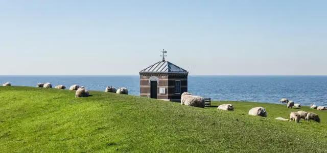
Photo: Dominicus Johannes Bergsma · Wikimedia Commons · CC BY-SA 4.0View the photo on Wikimedia CommonsZuiderzeepad - 22
ModerateZuiderzee Trail - 22
18.1 km · ± 4:05 h · ↗ 28 m · From A to B · start De Fryske Marren
5 public toilets0 water fountains and refill points65 benches and picnic tables
- 2
Eleven Cities Trail - 04 - Balk-Skouleane
18.3 km · ± 4:05 h · From A to B · start De Fryske Marren
1 public toilet0 water fountains and refill points28 benches and picnic tables
- 3
i
Photo: Condor3d · Wikimedia Commons · CC BY-SA 4.0View the photo on Wikimedia CommonsGroot Frieslandpad - 11
ModerateGreat Friesland Trail - 11
14.8 km · ± 3:20 h · ↗ 4 m · From A to B · start Súdwest-Fryslân
4 public toilets1 water point26 benches and picnic tables
- 4
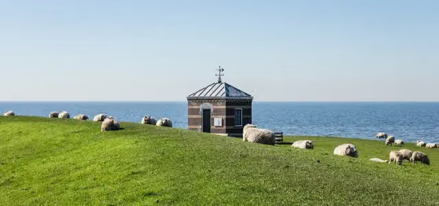
i
Photo: Dominicus Johannes Bergsma · Wikimedia Commons · CC BY-SA 4.0View the photo on Wikimedia CommonsZuiderzeepad - 20
ModerateZuiderzee Trail - 20
15.8 km · ± 3:30 h · ↗ 6 m · From A to B · start De Fryske Marren
6 public toilets3 water fountains and refill points82 benches and picnic tables
- 5
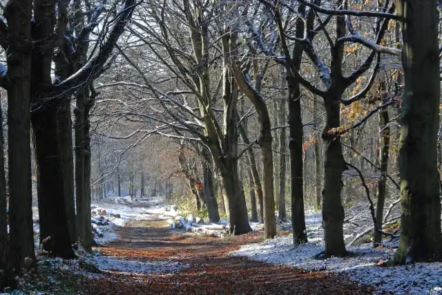
i
Photo: It Fryske Gea / Tjerk Kunst · Wikimedia Commons · CC BY-SA 3.0View the photo on Wikimedia CommonsEleven Cities Trail - 05 - Skouleane-Stavoren
21.8 km · ± 4:55 h · ↗ 33 m · From A to B · start De Fryske Marren
3 public toilets0 water fountains and refill points45 benches and picnic tables
- 6
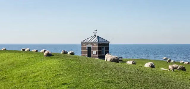
i
Photo: Dominicus Johannes Bergsma · Wikimedia Commons · CC BY-SA 4.0View the photo on Wikimedia CommonsZuiderzeepad - 19
ModerateZuiderzee Trail - 19
16.2 km · ± 3:35 h · From A to B · start Steenwijkerland
2 public toilets1 water point30 benches and picnic tables
- 7
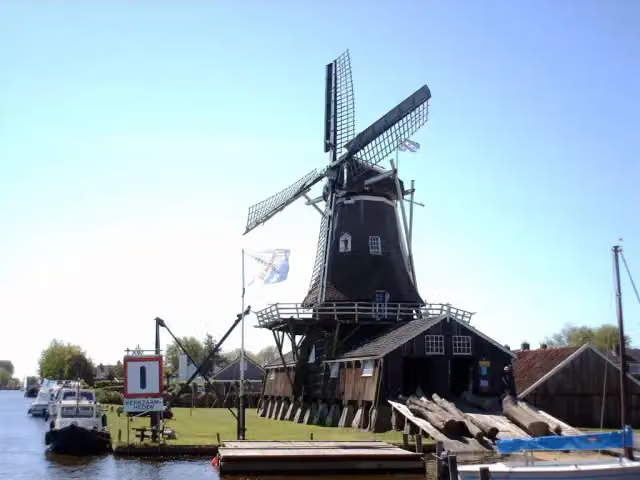
i
Photo: Udo Ockema · Wikimedia Commons · CC BY 3.0View the photo on Wikimedia CommonsEleven Cities Trail - 03 - Sneek-Balk
23.4 km · ± 5:10 h · ↗ 6 m · From A to B · start Súdwest-Fryslân
7 public toilets0 water fountains and refill points17 benches and picnic tables
- 8
i
Photo: Dominicus Johannes Bergsma · Wikimedia Commons · CC BY-SA 4.0View the photo on Wikimedia CommonsZuiderzeepad - 21
ModerateZuiderzee Trail - 21
15.5 km · ± 3:30 h · ↗ 6 m · From A to B · start De Fryske Marren
0 public toilets0 water fountains and refill points5 benches and picnic tables
- 9
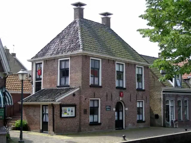
i
Photo: Udo Ockema · Wikimedia Commons · CC BY 3.0View the photo on Wikimedia CommonsJabikspaad
ModerateJacob's Trail
16.9 km · ± 3:45 h · From A to B · start Heerenveen
1 public toilet0 water fountains and refill points40 benches and picnic tables
All 5 walks from De Fryske Marren, A to Z
Long-distance paths through De Fryske Marren
Walks of several days, in stages.
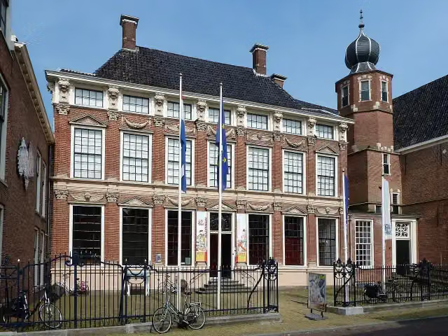
i
Photo: Bouwe Brouwer · Wikimedia Commons · CC BY-SA 3.0 nlView the photo on Wikimedia Commons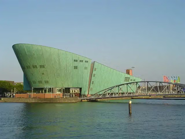

i
Photo: Fransvannes · Wikimedia Commons · CC BY-SA 3.0View the photo on Wikimedia Commons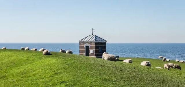
i
Photo: Dominicus Johannes Bergsma · Wikimedia Commons · CC BY-SA 4.0View the photo on Wikimedia Commons
Points of interest along the walks
Along the 9 best walks.
- Audio story · 2 min
i
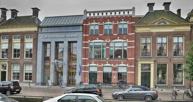
Photo: Condor3d · Wikimedia Commons · CC BY-SA 4.0View the photo on Wikimedia CommonsFries Scheepvaart Museum
Museum · along 1 walk
- Audio story · 2 min
i
Photo: Udo Ockema · Wikimedia Commons · CC BY 3.0View the photo on Wikimedia CommonsMolenhuis De Jager
Museum · along 1 walk
i
Photo: Udo Ockema · Wikimedia Commons · CC BY 3.0View the photo on Wikimedia CommonsMuseum · along 1 walk

Observation tower · along 2 walks
Museum · along 1 walk
Walks per place in Frisia
15 places have their own guide.
Explore further
Frequently asked questions
How many walks are there in De Fryske Marren?
The Outdoor Pitstop map has 13 walks in De Fryske Marren, including 4 long-distance paths in stages.
What is the best walk in De Fryske Marren?
At the top of this guide is Zuiderzeepad - 22 (18.1 km, moderate). Next come Elfstedenpad - 04 - Balk-Skouleane and Groot Frieslandpad - 11.
Which walks in De Fryske Marren have a toilet along the way?
In this guide, Zuiderzeepad - 22, Elfstedenpad - 04 - Balk-Skouleane and Groot Frieslandpad - 11 have a public toilet along the route.
Which long-distance paths run through De Fryske Marren?
Among others Elfstedenpad, Zuiderzeepad - Hoofdroute, Groot Frieslandpad and Zuiderzeepad - Alle varianten run through this area.
Popular nearby
Guides of places nearby





