 Outdoor Pitstop
Walking guide Dinkelland · Updated on 5 November 2026
The best walks in Dinkelland
Dinkelland has 54 walks on the Outdoor Pitstop map. The 10 best are 29.4 km long on average; 3 of them are circular walks. Along the way you find 469 benches and picnic tables, 12 water fountains and refill points and 5 public toilets in total.
i
i
i
The 10 best walks
In the order of our score: a photo, points of interest along the way, a toilet or water point, a circular walk, a description and how often people search for the route.
The best walking route in Dinkelland is Noaberpad etappe 11 (18.8 km, moderate).
The numbers on the map are the routes below, at their starting point. Pitstops count up to 100 m from the route. Walking time assumes 4.5 km an hour plus 10 minutes per 100 m of ascent.
- 1
i
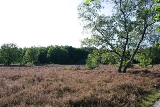
Photo: Crademaker · Wikimedia Commons · CC BY-SA 4.0View the photo on Wikimedia CommonsNoaberpad etappe 11
ModerateNeighbours' Trail stage 11
18.8 km · ± 4:15 h · ↗ 49 m · From A to B · start Tubbergen
0 public toilets2 water fountains and refill points53 benches and picnic tables
- 2
i
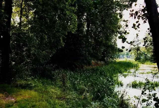
Photo: Peter van der Wielen · Wikimedia Commons · CC BY-SA 3.0 nlView the photo on Wikimedia CommonsTwente Trail stage 3
31.3 km · ± 7:10 h · ↗ 127 m · From A to B · start Dinkelland
0 public toilets1 water point64 benches and picnic tables
- 3
i
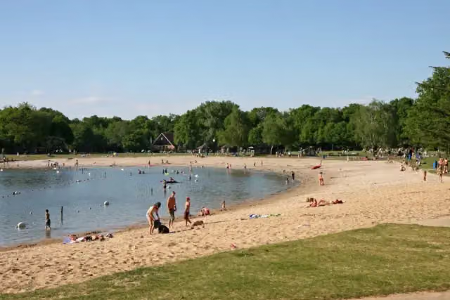
Photo: Frans-Banja Mulder · Wikimedia Commons · CC BY 3.0View the photo on Wikimedia CommonsMarskramerpad - 02
ModeratePedlars' Trail - 02
17.1 km · ± 3:50 h · From A to B · start Oldenzaal
1 public toilet2 water fountains and refill points34 benches and picnic tables
- 4
i
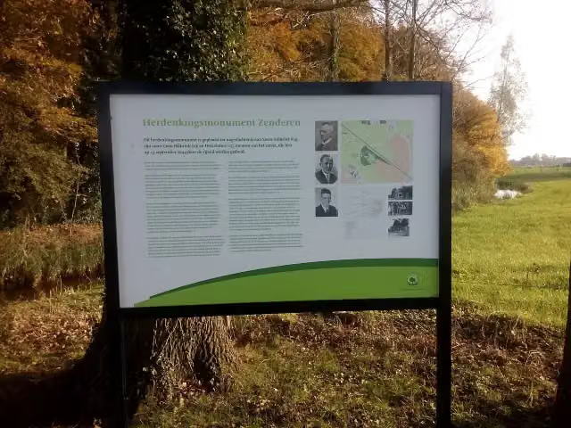
Photo: Gewild · Wikimedia Commons · CC BY-SA 3.0View the photo on Wikimedia CommonsHilligenpad
HardHilligen Trail
103.5 km · ± 23:30 h · ↗ 280 m · From A to B · start Enschede
1 public toilet2 water fountains and refill points141 benches and picnic tables
- 5
i
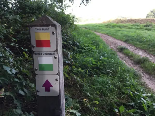
Photo: Flying Puffin · Wikimedia Commons · CC BY-SA 2.0View the photo on Wikimedia CommonsTwentepad-etappe4
ModerateTwente Trail stage 4
19.3 km · ± 4:20 h · ↗ 37 m · From A to B · start Borne
1 public toilet2 water fountains and refill points38 benches and picnic tables
- 6
i
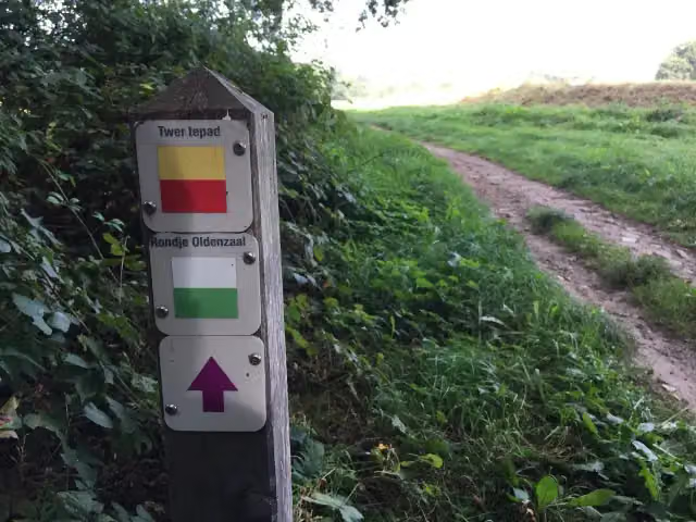
Photo: Flying Puffin · Wikimedia Commons · CC BY-SA 2.0View the photo on Wikimedia CommonsTwente Trail stage 2
24.3 km · ± 5:35 h · ↗ 88 m · From A to B · start Tubbergen
1 public toilet1 water point44 benches and picnic tables
- 7
i
Photo: Peter van der Wielen · Wikimedia Commons · CC BY-SA 3.0 nlView the photo on Wikimedia CommonsTwente walking network - Tilligte - blue route
9.4 km · ± 2:05 h · ↗ 3 m · Circular walk · start Dinkelland
0 public toilets0 water fountains and refill points4 benches and picnic tables
- 8
i
Photo: Peter van der Wielen · Wikimedia Commons · CC BY-SA 3.0 nlView the photo on Wikimedia CommonsStuwwalroute
HardPush Moraine Route
51.9 km · ± 12:00 h · ↗ 253 m · From A to B · start Oldenzaal
1 public toilet2 water fountains and refill points71 benches and picnic tables
- 9
i
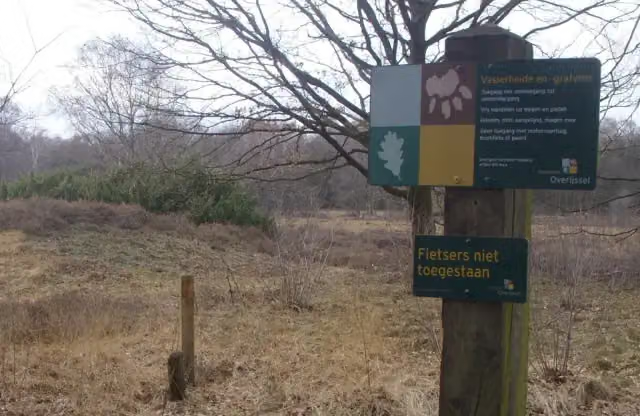
Photo: Hans Erren · Wikimedia Commons · CC BY-SA 3.0View the photo on Wikimedia CommonsTwente walking network - Kuiperberg - orange route
8.6 km · ± 2:00 h · ↗ 31 m · Circular walk · start Tubbergen
0 public toilets0 water fountains and refill points11 benches and picnic tables
- 10
i
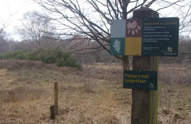
Photo: Hans Erren · Wikimedia Commons · CC BY-SA 3.0View the photo on Wikimedia CommonsTwente walking network - Reutum - green route
10.3 km · ± 2:20 h · ↗ 38 m · Circular walk · start Tubbergen
0 public toilets0 water fountains and refill points9 benches and picnic tables
All 27 walks from Dinkelland, A to Z
- Essenroute
- Noaberpad etappe 12 · Neighbours' Trail stage 12
- Twentepad-etappe3 · Twente Trail stage 3
- WNW Twente - Denekamp - blauwe route · Twente walking network - Denekamp - blue route
- WNW Twente - Deurningen - groene route · Twente walking network - Deurningen - green route
- WNW Twente - Deurningen - paarse route · Twente walking network - Deurningen - purple route
- WNW Twente - Everloo - groene route · Twente walking network - Everloo - green route
- WNW Twente - Groot-Agelo - rode route · Twente walking network - Groot-Agelo - red route
- WNW Twente - Het Stift - gele route · Twente walking network - Het Stift - yellow route
- WNW Twente - Het Stift - groene route · Twente walking network - Het Stift - green route
- WNW Twente - Het Stift - oranje route · Twente walking network - Het Stift - orange route
- WNW Twente - Het Stift - rode route · Twente walking network - Het Stift - red route
- WNW Twente - Kuiperberg - groene route · Twente walking network - Kuiperberg - green route
- WNW Twente - Kuiperberg - rode route · Twente walking network - Kuiperberg - red route
- WNW Twente - Lattrop - paarse route · Twente walking network - Lattrop - purple route
- WNW Twente - Lattrop/Rammelbeek - oranje route · Twente walking network - Lattrop/Rammelbeek - orange route
- WNW Twente - Rossum - groene route · Twente walking network - Rossum - green route
- WNW Twente - Rossum - paarse route · Twente walking network - Rossum - purple route
- WNW Twente - Saasveld - groene route · Twente walking network - Saasveld - green route
- WNW Twente - Saasveld - oranje route · Twente walking network - Saasveld - orange route
- WNW Twente - Saasveld - paarse route · Twente walking network - Saasveld - purple route
- WNW Twente - Schiphorst-Schiffhorst - rode route · Twente walking network - Schiphorst-Schiffhorst - red route
- WNW Twente - Tilligte - blauwe route · Twente walking network - Tilligte - blue route
- WNW Twente - Tilligte - groene route · Twente walking network - Tilligte - green route
- WNW Twente - Tilligte - oranje route · Twente walking network - Tilligte - orange route
- WNW Twente - Tilligte - paarse route · Twente walking network - Tilligte - purple route
- WNW Twente- Rpssum - rode route · Twente walking network - Rpssum - red route
Long-distance paths through Dinkelland
Walks of several days, in stages.
i
Photo: Flying Puffin · Wikimedia Commons · CC BY-SA 2.0View the photo on Wikimedia Commons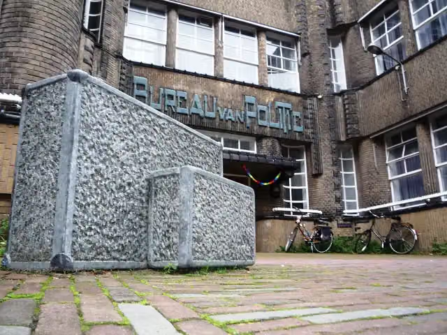
i
Photo: Jan van Steen · Wikimedia Commons · CC BY-SA 3.0 nlView the photo on Wikimedia CommonsEuropean long distance path E11
347.7 km · From A to B
i
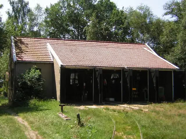
Photo: Winius · Wikimedia Commons · CC BY-SA 3.0View the photo on Wikimedia Commonsi
Photo: Jan van Steen · Wikimedia Commons · CC BY-SA 3.0 nlView the photo on Wikimedia CommonsEuropean long distance path E11 - Netherlands
347.2 km · From A to B
Points of interest along the walks
Along the 10 best walks.
- Story
i
Photo: Peter van der Wielen · Wikimedia Commons · CC BY-SA 3.0 nlView the photo on Wikimedia CommonsDe Hunenborg
Archaeological site · along 4 walks
Oorlogsmonument Huize Lidwina
Memorial · along 1 walk
Walks per place in Overijssel
24 places have their own guide.
- Almelo14 ›
- Borne20 ›
- Dalfsen31 ›
- Deventer53 ›
- Enschede52 ›
- Haaksbergen31 ›
- Hardenberg58 ›
- Hellendoorn47 ›
- Hengelo24 ›
- Hof van Twente55 ›
- Kampen22 ›
- Losser33 ›
- Oldenzaal23 ›
- Olst-Wijhe37 ›
- Ommen44 ›
- Raalte35 ›
- Rijssen-Holten53 ›
- Staphorst23 ›
- Steenwijkerland64 ›
- Tubbergen40 ›
- Twenterand18 ›
- Wierden28 ›
- Zwartewaterland26 ›
- Zwolle30 ›
Explore further
Frequently asked questions
How many walks are there in Dinkelland?
The Outdoor Pitstop map has 54 walks in Dinkelland, including 4 long-distance paths in stages.
What is the best walk in Dinkelland?
At the top of this guide is Noaberpad etappe 11 (18.8 km, moderate). Next come Twentepad-etappe3 and Marskramerpad - 02.
Are there circular walks in Dinkelland?
Yes, for example WNW Twente - Tilligte - blauwe route, WNW Twente - Kuiperberg - oranje route and WNW Twente - Reutum - groene route.
Which walks in Dinkelland have a toilet along the way?
In this guide, Marskramerpad - 02, Hilligenpad and Twentepad-etappe4 have a public toilet along the route.
Which long-distance paths run through Dinkelland?
Among others Twentepad, European long distance path E11, Noaberpad and European long distance path E11 - Netherlands run through this area.
Popular nearby
Guides of places nearby





