 Outdoor Pitstop
Walking guide Zwartewaterland · Updated on 5 November 2026
The best walks in Zwartewaterland
Zwartewaterland has 26 walks on the Outdoor Pitstop map. The 10 best are 22.3 km long on average; 2 of them are circular walks. Along the way you find 500 benches and picnic tables, 11 water fountains and refill points and 18 public toilets in total.
i
i
i
The 10 best walks
In the order of our score: a photo, points of interest along the way, a toilet or water point, a circular walk, a description and how often people search for the route.
The best walking route in Zwartewaterland is Hanzestedenpad - I (21.1 km, hard).
The numbers on the map are the routes below, at their starting point. Pitstops count up to 100 m from the route. Walking time assumes 4.5 km an hour plus 10 minutes per 100 m of ascent.
- 1
i
Photo: Onderwijsgek · Wikimedia Commons · CC BY-SA 2.5 nlView the photo on Wikimedia CommonsHanseatic Towns Trail - I
21.1 km · ± 4:40 h · ↗ 7 m · From A to B · start Zwolle
2 public toilets1 water point99 benches and picnic tables
- 2
i
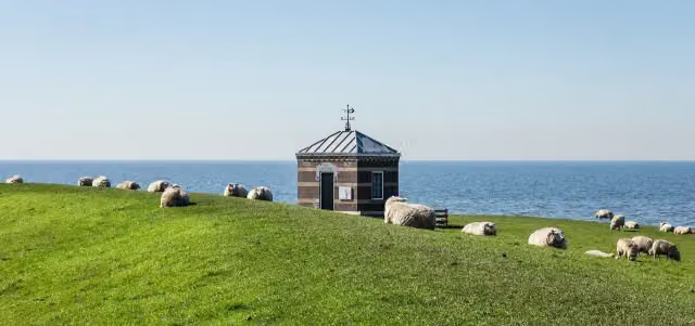
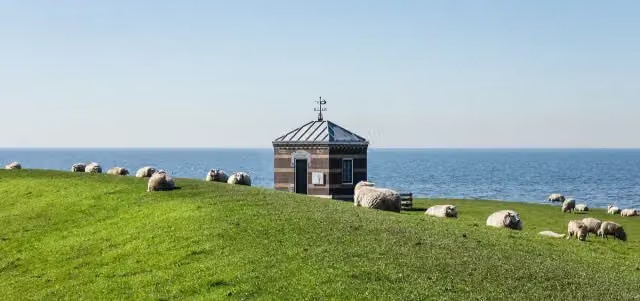
Photo: Dominicus Johannes Bergsma · Wikimedia Commons · CC BY-SA 4.0View the photo on Wikimedia CommonsZuiderzeepad - 17
ModerateZuiderzee Trail - 17
19.1 km · ± 4:15 h · ↗ 3 m · From A to B · start Zwartewaterland
2 public toilets0 water fountains and refill points32 benches and picnic tables
- 3
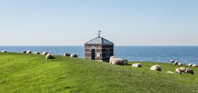
i
Photo: Dominicus Johannes Bergsma · Wikimedia Commons · CC BY-SA 4.0View the photo on Wikimedia CommonsZuiderzeepad - 16
ModerateZuiderzee Trail - 16
18.8 km · ± 4:10 h · From A to B · start Kampen
1 public toilet1 water point28 benches and picnic tables
- 4
i
Photo: PeHa · Wikimedia Commons · CC BY-SA 4.0View the photo on Wikimedia CommonsJacobspad
HardJacob's Trail
60.5 km · ± 13:30 h · ↗ 33 m · From A to B · start Olst-Wijhe
6 public toilets5 water fountains and refill points186 benches and picnic tables
- 5
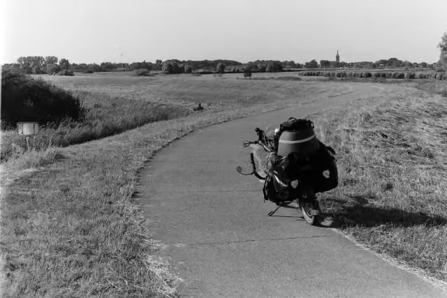
i
Photo: Roepers · Wikimedia Commons · CC BY 4.0View the photo on Wikimedia CommonsOverijssels Havezatenpad - 12
ModerateOverijssel Manor Houses Trail - 12
14.1 km · ± 3:05 h · From A to B · start Zwolle
2 public toilets1 water point14 benches and picnic tables
- 6
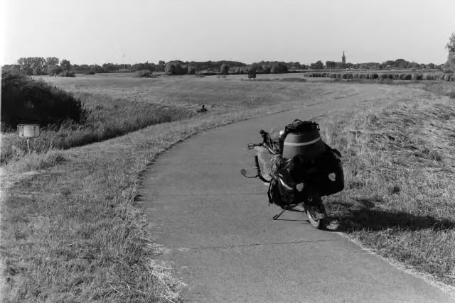
i
Photo: Roepers · Wikimedia Commons · CC BY 4.0View the photo on Wikimedia CommonsIJsseldelta walking network - Hasselt - blue route
10 km · ± 2:15 h · ↗ 3 m · Circular walk · start Zwartewaterland
1 public toilet1 water point9 benches and picnic tables
- 7
i
Photo: Dominicus Johannes Bergsma · Wikimedia Commons · CC BY-SA 4.0View the photo on Wikimedia CommonsZuiderzee Trail - 16a (Summer variant)
23.7 km · ± 5:15 h · From A to B · start Kampen
1 public toilet1 water point35 benches and picnic tables
- 8
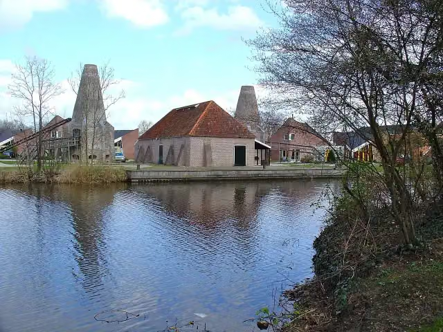
Jacobspad
EasyJacob's Trail
6.6 km · ± 1:30 h · From A to B · start Westerveld
1 public toilet0 water fountains and refill points27 benches and picnic tables
- 9
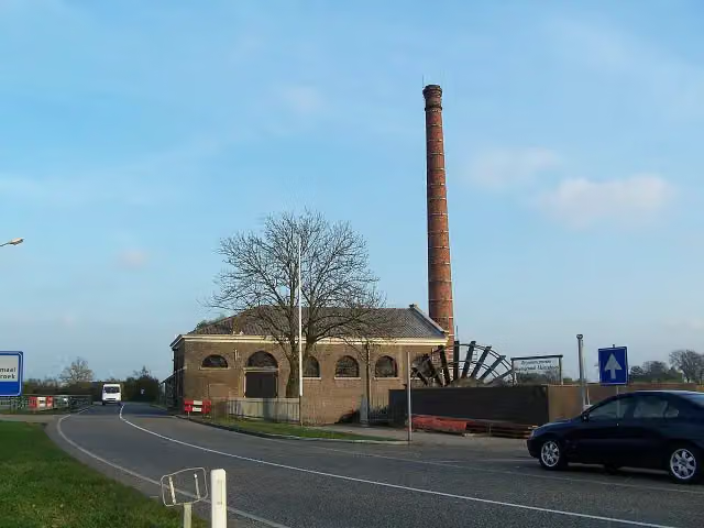
IJsseldelta walking network - Kamperzeedijk-Oost - green route
5 km · ± 1:05 h · Circular walk · start Zwartewaterland
0 public toilets0 water fountains and refill points4 benches and picnic tables
- 10
i
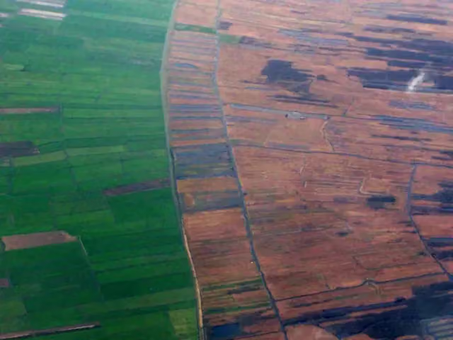
Photo: Original uploader was Debot at nl.wikipedia · Wikimedia Commons · CC BY-SA 3.0View the photo on Wikimedia CommonsJacob's Trail Overijssel section
44.3 km · ± 9:55 h · ↗ 26 m · From A to B · start Weststellingwerf
2 public toilets1 water point66 benches and picnic tables
All 10 walks from Zwartewaterland, A to Z
- Christoffelpad · Christoffel Trail
- Christoffelpad Etappe 1 · Christoffel Trail Stage 1
- Overijssels Havezatenpad - 13 · Overijssel Manor Houses Trail - 13
- WNW IJsseldelta - Hasselt -blauwe route · IJsseldelta walking network - Hasselt - blue route
- WNW IJsseldelta - verbindingsroute F84-F93 · IJsseldelta walking network - link route F84-F93
- WNW IJsseldelta - verbindingsroute F92-G84 · IJsseldelta walking network - link route F92-G84
- WNW IJsseldelta -Genemuiden - groene route · IJsseldelta walking network - Genemuiden - green route
- WNW IJsseldelta -Kamperzeedijk-Oost - groene route · IJsseldelta walking network - Kamperzeedijk-Oost - green route
- WNW IJsseldelta -Kamperzeedijk-Oost - rode route · IJsseldelta walking network - Kamperzeedijk-Oost - red route
- Zuiderzeepad - 17 · Zuiderzee Trail - 17
Long-distance paths through Zwartewaterland
Walks of several days, in stages.
i
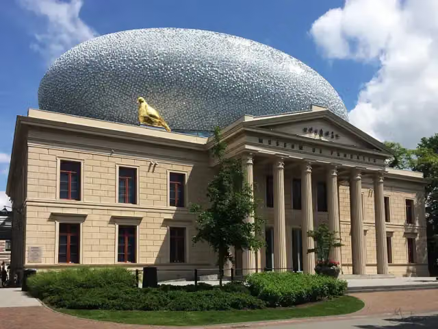
Photo: -Ebelien- · Wikimedia Commons · CC BY 2.0View the photo on Wikimedia Commons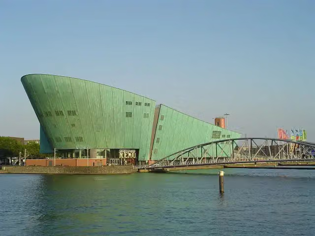
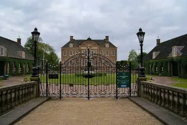
i
Photo: Peter van der Wielen · Wikimedia Commons · CC BY-SA 4.0View the photo on Wikimedia CommonsOverijssels Havezatenpad (Alle varianten)
Overijssel Manor Houses Trail (All variants)
301.1 km · From A to B
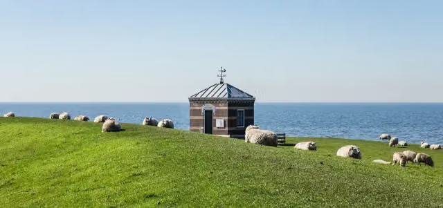
i
Photo: Dominicus Johannes Bergsma · Wikimedia Commons · CC BY-SA 4.0View the photo on Wikimedia Commonsi
Photo: Peter van der Wielen · Wikimedia Commons · CC BY-SA 4.0View the photo on Wikimedia CommonsOverijssels Havezatenpad (Hoofdroute)
Overijssel Manor Houses Trail (Main route)
296.3 km · From A to B
Points of interest along the walks
Along the 10 best walks.
- Audio story · 2 min
i
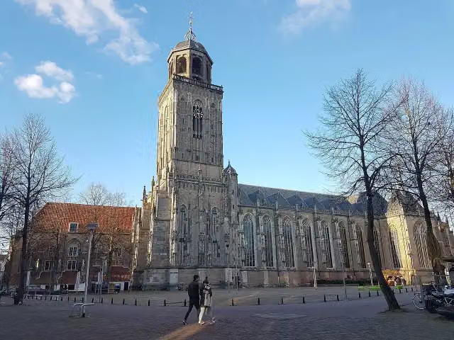
Photo: PeHa · Wikimedia Commons · CC BY-SA 4.0View the photo on Wikimedia CommonsGrote of Lebuinuskerk
Attraction · along 1 walk
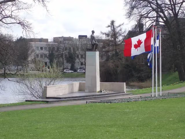
Monument voor de gevallenen 1940-1945
Memorial · along 1 walk
Museum EICAS
Museum · along 1 walk
- Story
Historisch centrum Kalkovens
Museum · along 1 walk
Museum · along 1 walk

Museum · along 1 walk
Museum · along 1 walk
Walks per place in Overijssel
24 places have their own guide.
- Almelo14 ›
- Borne20 ›
- Dalfsen31 ›
- Deventer53 ›
- Dinkelland54 ›
- Enschede52 ›
- Haaksbergen31 ›
- Hardenberg58 ›
- Hellendoorn47 ›
- Hengelo24 ›
- Hof van Twente55 ›
- Kampen22 ›
- Losser33 ›
- Oldenzaal23 ›
- Olst-Wijhe37 ›
- Ommen44 ›
- Raalte35 ›
- Rijssen-Holten53 ›
- Staphorst23 ›
- Steenwijkerland64 ›
- Tubbergen40 ›
- Twenterand18 ›
- Wierden28 ›
- Zwolle30 ›
Explore further
Frequently asked questions
How many walks are there in Zwartewaterland?
The Outdoor Pitstop map has 26 walks in Zwartewaterland, including 6 long-distance paths in stages.
What is the best walk in Zwartewaterland?
At the top of this guide is Hanzestedenpad - I (21.1 km, hard). Next come Zuiderzeepad - 17 and Zuiderzeepad - 16.
Are there circular walks in Zwartewaterland?
Yes, for example WNW IJsseldelta - Hasselt -blauwe route and WNW IJsseldelta -Kamperzeedijk-Oost - groene route.
Which walks in Zwartewaterland have a toilet along the way?
In this guide, Hanzestedenpad - I, Zuiderzeepad - 17 and Zuiderzeepad - 16 have a public toilet along the route.
Which long-distance paths run through Zwartewaterland?
Among others Hanzestedenpad, Zuiderzeepad - Hoofdroute, Overijssels Havezatenpad (Alle varianten) and Zuiderzeepad - Alle varianten run through this area.
Popular nearby
Guides of places nearby





