 Outdoor Pitstop
Walking route · Oldenzaal · Overijssel Manor Houses Trail (Main route) · Updated on 6 November 2026
Overijssels Havezatenpad (Hoofdroute) walk
Overijssels Havezatenpad (Hoofdroute) is a walk of 296.3 km from Oldenzaal. Along the way you'll find 561 benches and picnic tables, 19 water fountains and refill points and 17 public toilets.
i
i
i
The route step by step
From start to finish, with what you pass along the way and the distance in between.
- 296.3 km
- ± 3:55 h per stage
- ↑ 134 m · ↓ 173 m
- Moderate per stage
- From A to B
- National route
Start in Oldenzaal
0 kmAt the start: water point.
23.2 km · 50 benches
Public toilet
23.2 km463 m · 3 benches
2 water fountains and refill points
23.6 km1.2 km · 15 benches
Water point
24.9 km1 km · 6 benches

Observation tower
25.9 kmObservation tower
8.1 km · 14 benches
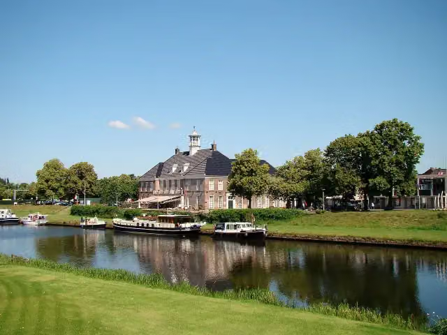
Seinhuisje
34 kmAttraction · Audio story · 2 min
71.5 km · 79 benches
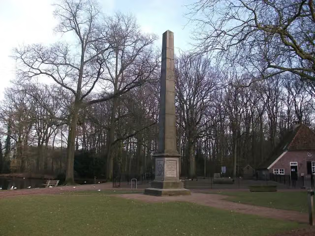
Gedenknaald Ter Horst
105.6 kmMemorial
12.4 km · 14 benches
Observation tower
118 kmObservation tower
6.6 km · 10 benches
2 public toilets and 2 water fountains and refill points
124.5 km8 km · 54 benches
Public toilet
132.5 km14 km · 16 benches
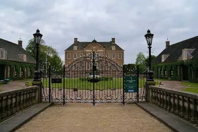
Kasteel Eerde
146.5 kmCastle · Audio story · 2 min
1.1 km · 5 benches
4 water fountains and refill points
147.6 km156 m
5 water fountains and refill points
147.7 km3.4 km · 9 benches
Public toilet and water point
151.1 km3 km · 39 benches
Nationaal Tinnen Figuren Museum
154.1 kmPublic toilet and water point
216 m · 15 benches
Public toilet
154.3 km30.2 km · 38 benches
Public toilet
184.5 km9.4 km · 4 benches
Public toilet
193.9 km9.1 km · 7 benches
Public toilet and water point
203 km47.8 km · 74 benches
Public toilet
250.8 km187 m · 2 benches
Public toilet
251 km1.7 km · 9 benches
Public toilet
252.7 km11.8 km · 13 benches
Public toilet
264.4 km31.2 km · 79 benches
Public toilet
295.6 km677 m · 6 benches
Finish
296.3 kmAt the finish: 2 public toilets and water point.
Longest stretch without a toilet: 101.4 kmBetween 23.2 km and 124.6 km there is no public toilet within 100 m of the route.
The route with the water points, toilets and sights within 100 m of it.
6 sights along the way
In the order you pass them. With the Outdoor Pitstop app you hear their story on the spot.

Observation tower · after 25.9 km
- Audio story · 2 min
i
Photo: Gbrefeld · Wikimedia Commons · CC BY 3.0View the photo on Wikimedia CommonsSeinhuisje
Attraction · after 34 km
Gedenknaald Ter Horst
Memorial · after 105.6 km
Observation tower · after 118 km
- Audio story · 2 min
i
Photo: Peter van der Wielen · Wikimedia Commons · CC BY-SA 4.0View the photo on Wikimedia CommonsKasteel Eerde
Castle · after 146.5 km
i
Photo: Richard Broekhuijzen · Wikimedia Commons · CC BY-SA 3.0View the photo on Wikimedia CommonsMuseum · after 154.1 km
Stages (17)
- 1Overijssels Havezatenpad - 1Overijssel Manor Houses Trail - 116.7 km
- 2Overijssels Havezatenpad - 2Overijssel Manor Houses Trail - 217.4 km
- 3Overijssels Havezatenpad - 3Overijssel Manor Houses Trail - 314.1 km
- 4Overijssels Havezatenpad - 4Overijssel Manor Houses Trail - 422.6 km
- 5Overijssels Havezatenpad - 5Overijssel Manor Houses Trail - 520.4 km
- 6Overijssels Havezatenpad - 6Overijssel Manor Houses Trail - 614.4 km
- 7Overijssels Havezatenpad - 7Overijssel Manor Houses Trail - 719 km
- 8Overijssels Havezatenpad - 8Overijssel Manor Houses Trail - 819.3 km
- 9Overijssels Havezatenpad - 9Overijssel Manor Houses Trail - 98.9 km
- 10Overijssels Havezatenpad - 10Overijssel Manor Houses Trail - 1020.6 km
- 11Overijssels Havezatenpad - 11Overijssel Manor Houses Trail - 1116.3 km
- 12Overijssels Havezatenpad - 12Overijssel Manor Houses Trail - 1214.1 km
- 13Overijssels Havezatenpad - 13Overijssel Manor Houses Trail - 1322.7 km
- 14Overijssels Havezatenpad - 14Overijssel Manor Houses Trail - 1415.4 km
- 15Overijssels Havezatenpad - 15Overijssel Manor Houses Trail - 1514.6 km
- 16Overijssels Havezatenpad - 16Overijssel Manor Houses Trail - 1623 km
- 17Overijssels Havezatenpad - 17Overijssel Manor Houses Trail - 1716.9 km
Elevation and terrain
- Up
- ↑ 134 m
- Down
- ↓ 173 m
- Highest point
- 63 m
- Lowest point
- -1 m
- 13 stairs
Elevation from AHN (Rijkswaterstaat), smoothed.
Way types
296.3 km in total- Road: 106.2 km
- Cycleway: 61.9 km
- Track: 61 km
- Path: 49.1 km
- Street: 8.2 km
- Footpath: 6.2 km
- Busy road: 1.8 km
- Stairs: 13 stairs
- Unknown: 175 m
Surfaces
296.3 km in total- Asphalt: 110.6 km
- Paved: 54.2 km
- Natural: 43.9 km
- Gravel: 27.1 km
- Unpaved: 20.5 km
- Unknown: 38.8 km
About the walking route Overijssels Havezatenpad (Hoofdroute)
Updated on 6 November 2026, with data from OpenStreetMap and the AHN.
Where do you walk?
Overijssels Havezatenpad (Hoofdroute) is a walking route of 296.3 km that starts in Oldenzaal. It does not end where it starts. You start in Oldenzaal and finish in Steenwijk. Along the way you pass Observation tower (after 25.9 km), Seinhuisje (after 34 km) and Gedenknaald Ter Horst (after 105.6 km).
How hard is the route?
You climb 134 m in total and descend 173 m. There are 13 flights of steps along the way. Allow ± 3:55 h per stage, without breaks. Per stage the level is moderate.
What paths do you walk on?
The longest part is road (106.2 km), cycleway (61.9 km) and track (61 km). Of the surface, 110.6 km asphalt and 54.2 km paved. For 38.8 km the surface is not known.
Pitstops along the way
Within 100 metres of the route there are 561 benches and picnic tables, 19 water fountains and refill points and 17 public toilets. The longest stretch without a toilet is 101.4 km. The Outdoor Pitstop app navigates you there.
Part of Overijssels Havezatenpad (Alle varianten) (Overijssel Manor Houses Trail)
Website of the routeWalks nearby
6Sights nearby
Within 10 km of the route, best known first.
- 1
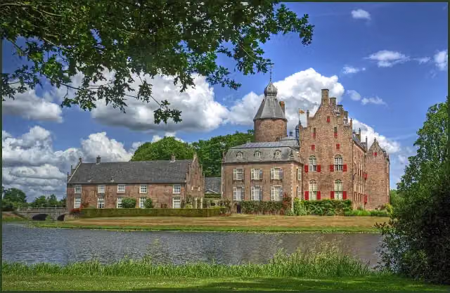 Kasteel RechterenCastle · 324 m from the route
- 2
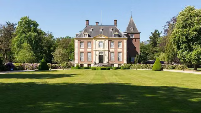 Huis VerwoldeCastle · 6.3 km from the route
- 3
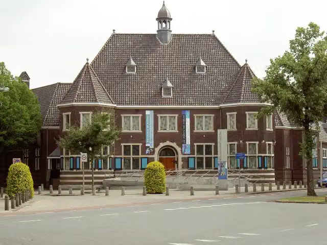 Rijksmuseum TwentheMuseum · 1.8 km from the route
- 4
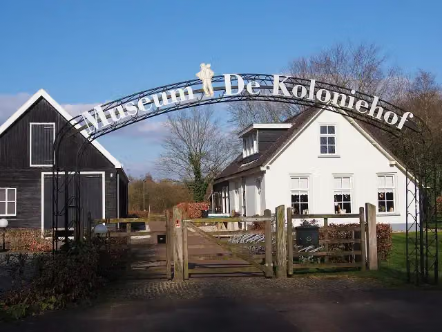 Museum De ProefkolonieMuseum · 7.7 km from the route
- 5
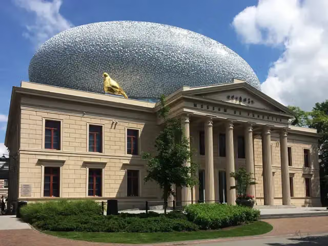 Museum de Fundatie / Paleis aan de BlijmarktMuseum · 3.2 km from the route
- 6
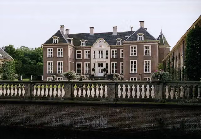 Kasteel AmpsenCastle · 6 km from the route
- 7
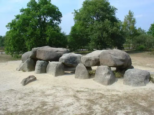 Hunebed D54 HavelterbergArchaeological site · 6.9 km from the route
- 8
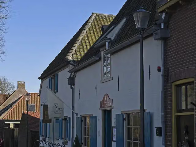 Anton Pieck MuseumMuseum · 6.2 km from the route
- 9
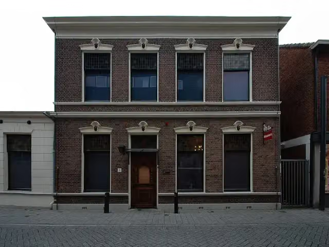 Museum HengeloMuseum · 3.5 km from the route
- 10
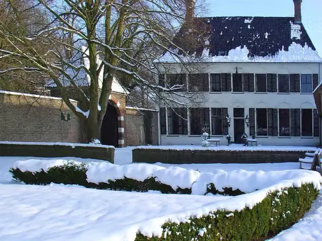 OvercingeCastle · 7.6 km from the route
- 11
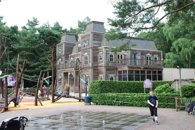 Discovery ClubAttraction · 1.8 km from the route
- 12
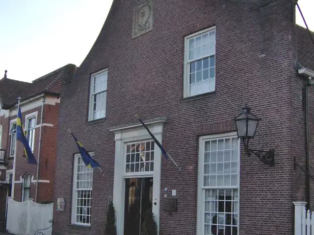 BussemakerhuisMuseum · 3.3 km from the route
- 13
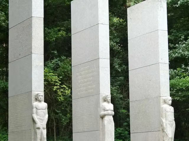 Provinciaal Verzetsmonument OverijsselMemorial · 231 m from the route
- 14
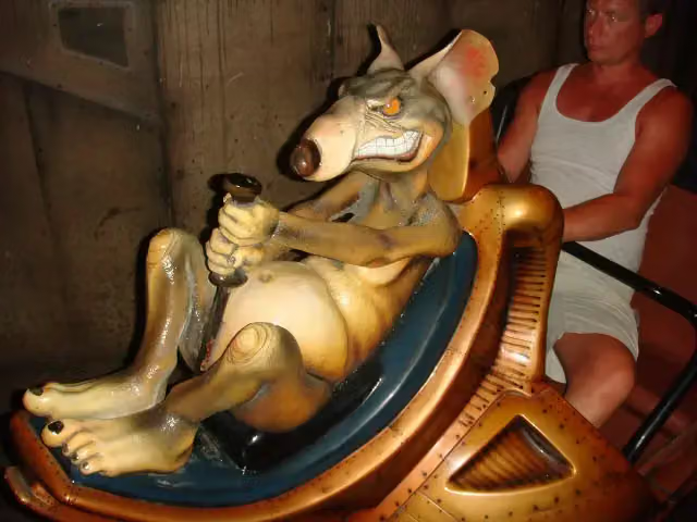 RioolratAttraction · 1.9 km from the route
- 15
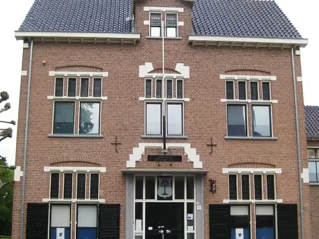 Historisch Museum VriezenveenMuseum · 8.3 km from the route
- 16
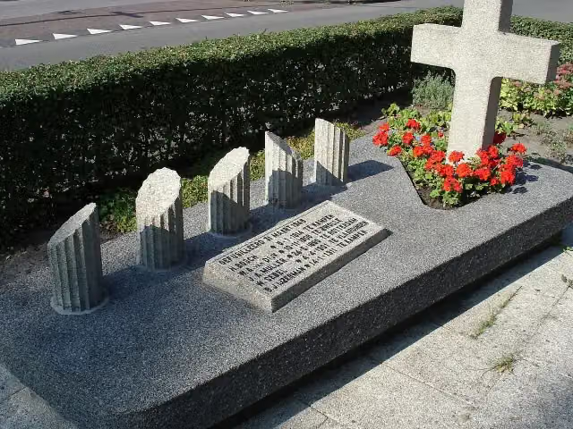 Monument aan de MeppelerstraatwegMemorial · 1.2 km from the route
- 17
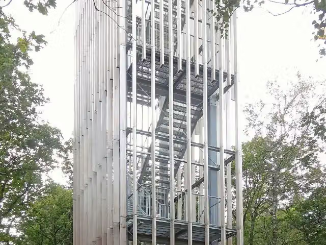 Uitkijktoren de StokteObservation tower · 782 m from the route
- 18
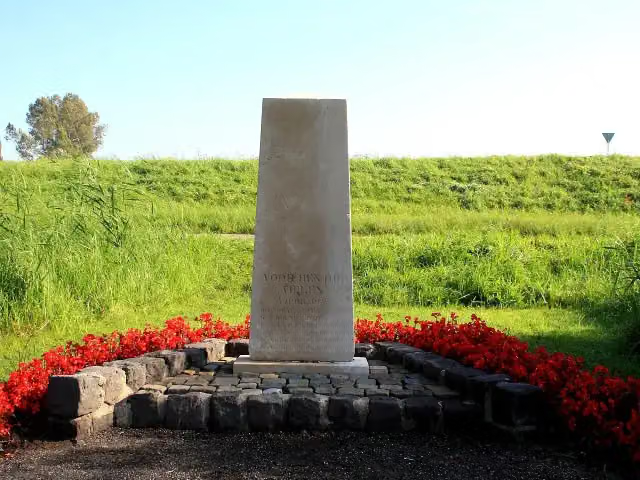 FusillademonumentMemorial · 6.3 km from the route
- 19
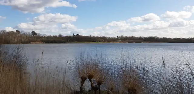 UitkijktorenObservation tower · 4.7 km from the route
- 20
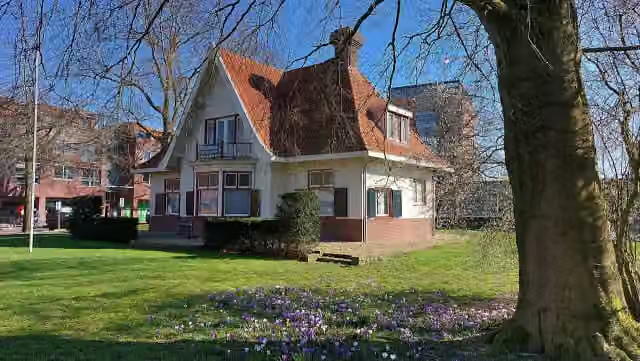 Oudheidkamer WeststellingwerfMuseum · 6.2 km from the route
- 21
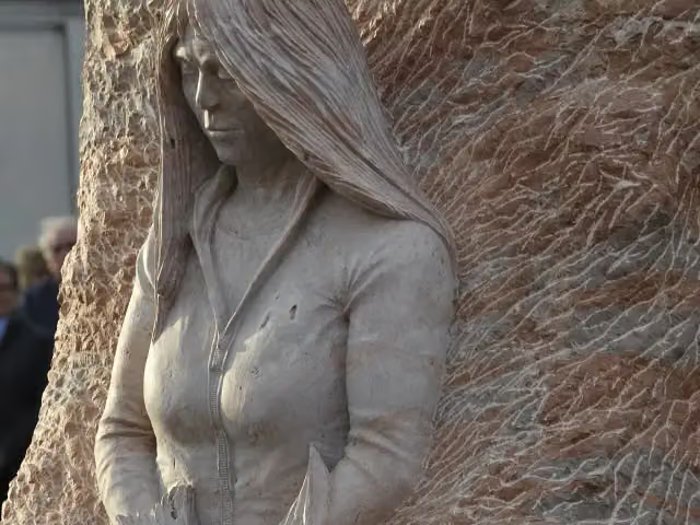 ExhortareMemorial · 8.1 km from the route
- 22
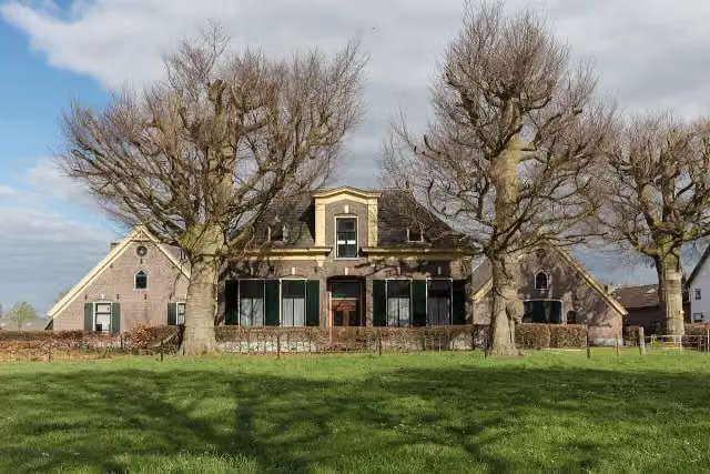 ZuivelmuseumMuseum · 8.9 km from the route
- 23
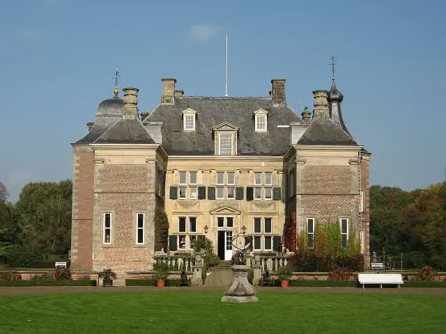 WeldamCastle · 142 m from the route
- 24
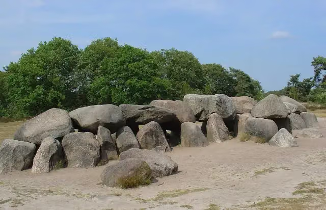 Hunebed D53 HavelterbergArchaeological site · 6.8 km from the route
- 25
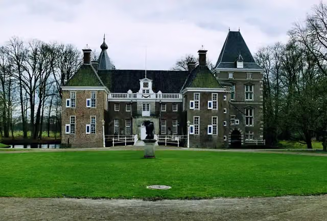 Kasteel het NijenhuisCastle · 8 km from the route
Explore more
Frequently asked questions
How long is Overijssels Havezatenpad (Hoofdroute)?
Overijssels Havezatenpad (Hoofdroute) is 296.3 km long, in 17 stages of 17.4 km on average. Allow ± 3:55 h per stage of walking: 4.5 km an hour and 10 minutes more per 100 metres of climbing, without breaks.
Is this route a circular walk?
No, the route runs from Oldenzaal to Steenwijk.
Where does this route start?
The route starts in Oldenzaal.
How hard is this route?
Moderate per stage, with 8 m per stage of climbing.
Are there toilets along this route?
Yes, there are 17 public toilets within 100 m of the route. The longest stretch without a toilet is 101.4 km.
Can you fill up with water along this route?
Yes, there are 19 water fountains and refill points within 100 m of the route.
What is there to see along this route?
Along the way you pass Observation tower, Seinhuisje and Gedenknaald Ter Horst.
Starting point
More routes from this place
Route data © OpenStreetMap contributors





