 Outdoor Pitstop
Walking route · Katwijk · Roman Limes Trail - Main route · Updated on 6 November 2026
Romeinse Limespad - Hoofdroute walk
Romeinse Limespad - Hoofdroute is a walk of 288.6 km from Katwijk. Along the way you'll find 1,206 benches and picnic tables, 50 water fountains and refill points, 24 public toilets and 1 food stand.
i
i
i
The route step by step
From start to finish, with what you pass along the way and the distance in between.
- 288.6 km
- ± 3:25 h per stage
- Moderate per stage
- From A to B
- National route
Start in Katwijk
0 km365 m · 6 benches
Water point
365 m167 m · 3 benches
2 water fountains and refill points
532 m238 m · 5 benches
Public toilet and 2 water fountains and refill points
770 m219 m · 10 benches
Public toilet and 3 water fountains and refill points
989 m367 m · 9 benches
Public toilet and 2 water fountains and refill points
1.4 km574 m · 18 benches

Katwijks museum
1.9 kmMuseum
10.5 km · 23 benches
Water point
12.4 km3.3 km · 30 benches
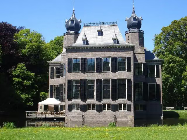
Oud Poelgeest
15.7 kmCastle · Audio story · 2 min
2.6 km · 57 benches
Public toilet and water point
18.3 km393 m · 4 benches
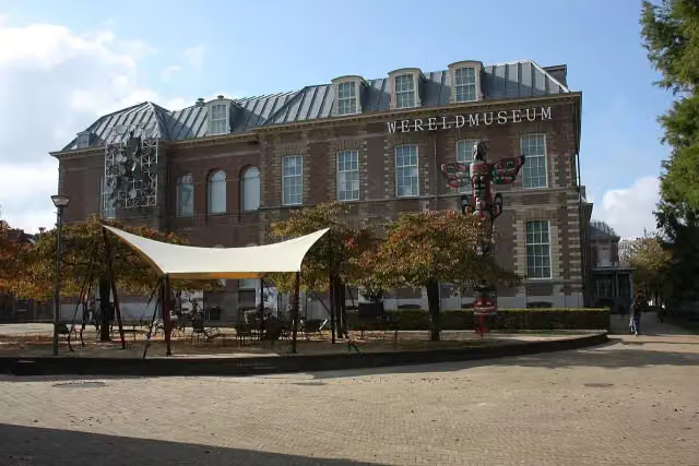
Wereldmuseum Leiden
18.6 kmMuseum · Audio story · 2 min
257 m · 5 benches
Indië-monument
18.9 kmWater point
491 m · 28 benches
Japanmuseum SieboldHuis and 3 more
19.4 kmGijselaarsbank, Bibliotheca Thysiana and Rijksmuseum van Oudheden
224 m · 2 benches
Academisch Historisch Museum
19.6 kmPublic toilet and water point
283 m · 19 benches
Pieterskerk and 1 more
19.9 kmPilgrim Museum
235 m · 4 benches
De Waag
20.1 kmPublic toilet and water point
184 m · 4 benches
Leiden Castle
20.3 kmViewpoint · Audio story · 2 min
3 km · 33 benches
Observation tower and 6 more
23.3 kmObservation tower, Matilo, Observation tower, Observation tower, Observation tower and Observation tower
247 m · 5 benches
Water point
23.5 km1.6 km · 8 benches
Water point
25.2 km346 m · 7 benches
Public toilet and water point
25.5 km160 m
Public toilet and water point
25.7 km275 m · bench
Kasteel Cronesteyn
26 kmRuins
22.5 km · 47 benches
Water point
48.4 km690 m · 11 benches
2 water fountains and refill points
49.1 km6.3 km · 5 benches
Water point
55.4 km1.3 km · 8 benches
Schepen van Zwammerdam
56.7 kmArchaeological site · Audio story · 2 min
6.9 km · 7 benches
Public toilet and water point
63.6 km410 m · bench
Water point
64 km8 km · 3 benches
Wierickewachter
71.9 kmObservation tower
Show the other 53 steps
14.3 km · 10 benches
Drukkers in verzet and 1 more
86.2 kmStadsmuseum Woerden and water point
339 m
Kasteel van Woerden
86.6 kmCastle
9.9 km · 39 benches
Food stand
96.4 km3.3 km · 3 benches
Kasteel Nijevelt
99.7 kmWater point
8 km · 63 benches
2 water fountains and refill points
107.8 km2.5 km · 52 benches
Water point
110.3 km742 m · 15 benches
Gedenkplaat Arie Kranenburg
111 kmMemorial
1.1 km · 27 benches
Memorial
364 m · 12 benches
Public toilet and 2 water fountains and refill points
112.4 km161 m · 6 benches
Museum Speelklok and 2 more
112.6 kmDom tower and Paleis Lofen
166 m · 3 benches
Verzetsmonument and 1 more
112.8 kmHugo Wstinc and public toilet
278 m
Public toilet
113.1 km510 m · 12 benches
De Gesloten Steen
113.6 kmAttraction
403 m · 12 benches
Water point
114 km677 m · 37 benches
Water point
114.6 km799 m · 24 benches
Water point
115.4 km1.8 km · 66 benches
Water point
117.2 km4.6 km · 18 benches
Public toilet
121.8 km1.4 km · 7 benches
Fort Vechten and 1 more
123.2 kmWaterliniemuseum
1.8 km · 11 benches
Kasteel Rhijnauwen
125.1 kmAttraction · Audio story · 2 min
2 km · 13 benches
Huis Cammingha
127.1 kmCastle
22.9 km · 60 benches
Monument aan de Markt
150 kmPublic toilet
435 m · 12 benches
Water point
150.4 km210 m · 11 benches
Duurstede Castle
150.7 kmCastle · Audio story · 2 min
18.6 km · 10 benches
Water point
169.3 km15.6 km · 14 benches
Public toilet
184.9 km1.1 km
Public toilet
186 km16.6 km · 56 benches
Uitkijktoren Boersberg
202.6 kmObservation tower
947 m · bench
Kasteel Doorwerth
203.5 km2 public toilets
2.4 km · 15 benches
Hunneschans
205.9 kmArchaeological site · Audio story · 1 min
2.4 km · 17 benches
Airbornemonument
208.3 kmMemorial
2.7 km · 3 benches
Kasteel Rosande
211 kmRuins
5.4 km · 27 benches
Museum Arnhem and 1 more
216.4 kmBuitensocieteit Arnhem
2 km · 9 benches
Exodus Monument
218.3 kmMemorial
3 km · bench
Castellum Meinerswijk
221.3 kmArchaeological site · Audio story · 2 min
10.1 km · 10 benches
Water point
231.3 km2.5 km · 14 benches
Water point
233.8 km448 m · 8 benches
Public toilet and water point
234.2 km3.3 km · 31 benches
The Wing
237.5 kmMemorial
3.4 km · 4 benches
Water point
240.9 km8 km · 15 benches
Fort Boven-Lent
249 kmAttraction
1.7 km · 3 benches
Fort Knodsenburg
250.7 kmArchaeological site
340 m · 4 benches
Public toilet and water point
251 km2.6 km · 7 benches
Water point
253.6 km1.7 km
Kruittoren
255.2 km2 public toilets and water point
358 m · 2 benches
Namenmonument and 1 more
255.6 kmJoods monument, public toilet and water point
226 m · 5 benches
Water point
255.8 km674 m · 4 benches
Museum De Bastei
256.5 km2 water fountains and refill points
177 m · 7 benches
Nationaal Fietsmuseum Velorama and 1 more
256.7 kmBarbarossakapel
162 m · 7 benches
Spoorwegmonument and 1 more
256.8 kmValkhof Museum and public toilet
1.2 km · 21 benches
Gedenkbank Wiardi Beckman
258 kmMemorial
11.7 km · 15 benches
Water point
269.8 km18.8 km · 20 benches
Finish
288.6 km
Longest stretch without a toilet: 48.9 kmBetween 63.6 km and 112.4 km there is no public toilet within 100 m of the route.
The route with the water points, toilets and sights within 100 m of it.
62 sights along the way
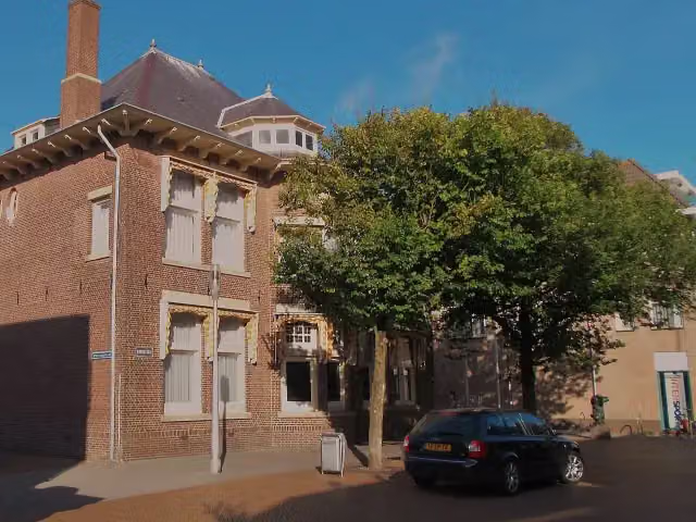
In the order you pass them. With the Outdoor Pitstop app you hear their story on the spot. 54 more along the route are on the map.
Katwijks museum
Museum · after 1.9 km
- Audio story · 2 min
i
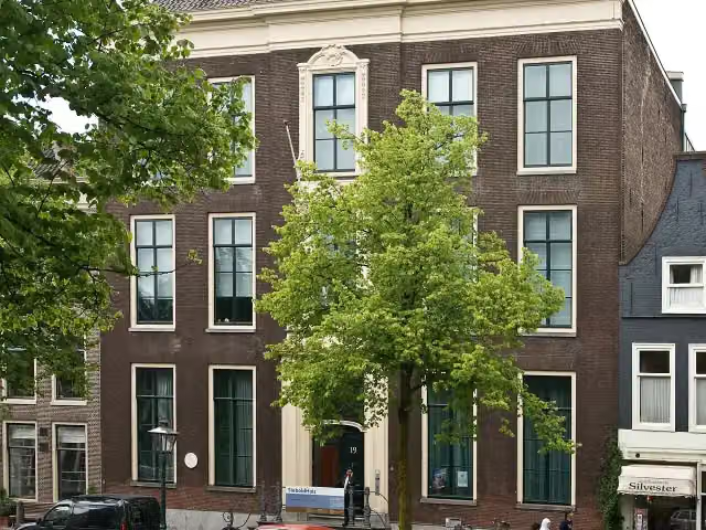
Photo: Wikifrits · Wikimedia Commons · CC BY-SA 3.0View the photo on Wikimedia CommonsOud Poelgeest
Castle · after 15.7 km
 Audio story · 2 min
i
Photo: Sneeuwvlakte · Wikimedia Commons · CC BY-SA 4.0View the photo on Wikimedia CommonsWereldmuseum Leiden
Museum · after 18.6 km
i
Photo: FaceMePLS · Wikimedia Commons · CC BY 2.0View the photo on Wikimedia CommonsMemorial · after 18.9 km
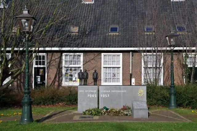
- Audio story · 2 min
i
Photo: Niels from Amsterdam, NL · Wikimedia Commons · CC BY-SA 2.0View the photo on Wikimedia CommonsJapanmuseum SieboldHuis
Museum · after 19.4 km
Gijselaarsbank
Memorial · after 19.4 km
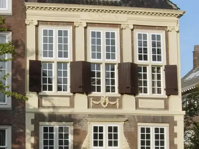 Audio story · 2 min
i
Photo: User:Pepicek · Wikimedia Commons · CC BY 2.5View the photo on Wikimedia CommonsBibliotheca Thysiana
Attraction · after 19.4 km
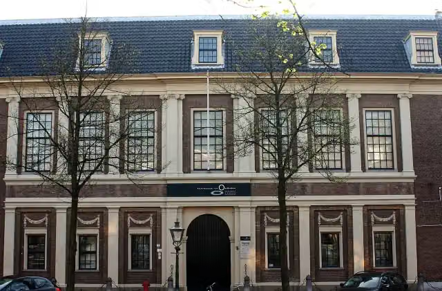 Audio story · 2 min
i
Photo: Goodness Shamrock · Wikimedia Commons · CC BY-SA 3.0View the photo on Wikimedia CommonsRijksmuseum van Oudheden
Museum · after 19.5 km
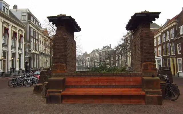
Stages (19)
- 1Romeinse Limespad - 1Roman Limes Trail - 114.6 km
- 2Romeinse Limespad - 2Roman Limes Trail - 211.6 km
- 3Romeinse Limespad - 3Roman Limes Trail - 312.5 km
- 4Romeinse Limespad - 4Roman Limes Trail - 416.9 km
- 5Romeinse Limespad - 5Roman Limes Trail - 517.5 km
- 6Romeinse Limespad - 6Roman Limes Trail - 616.5 km
- 7Romeinse Limespad - 7Roman Limes Trail - 718.1 km
- 8Romeinse Limespad - 8Roman Limes Trail - 815.9 km
- 9Romeinse Limespad - 9Roman Limes Trail - 911.3 km
- 10Romeinse Limespad - 10Roman Limes Trail - 1018.3 km
- 11Romeinse Limespad - 11Roman Limes Trail - 1118.7 km
- 12Romeinse Limespad - 12Roman Limes Trail - 1216 km
- 13Romeinse Limespad - 13Roman Limes Trail - 1319.2 km
- 14Romeinse Limespad - 14Roman Limes Trail - 1414.9 km
- 15Romeinse Limespad - 15Roman Limes Trail - 1522.6 km
- 16Romeinse Limespad - 16Roman Limes Trail - 1612.9 km
- 17Romeinse Limespad - 17Roman Limes Trail - 1711.7 km
- 18Romeinse Limespad - 18Roman Limes Trail - 1816.9 km
- 19Romeinse Limespad - 19aRoman Limes Trail - 19a2.5 km
Elevation and terrain
Way types
288.6 km in total- Road: 66.5 km
- Footpath: 65.7 km
- Path: 51.4 km
- Cycleway: 49.3 km
- Street: 34.9 km
- Track: 16.4 km
- Stairs: 36 stairs
- Busy road: 650 m
- Unknown: 275 m
Surfaces
288.6 km in total- Asphalt: 89.4 km
- Paved: 44.3 km
- Gravel: 34.3 km
- Natural: 25.1 km
- Unpaved: 22.8 km
- Unknown: 71.2 km
About the walking route Romeinse Limespad - Hoofdroute
Updated on 6 November 2026, with data from OpenStreetMap and the AHN.
Where do you walk?
Romeinse Limespad - Hoofdroute is a walking route of 288.6 km that starts in Katwijk. It does not end where it starts. You start in Katwijk aan Zee and finish in Xanten (D). Along the way you pass Katwijks museum (after 1.9 km), Oud Poelgeest (after 15.7 km) and Wereldmuseum Leiden (after 18.6 km).
How hard is the route?
There are 36 flights of steps along the way. Allow ± 3:25 h per stage, without breaks. Per stage the level is moderate.
What paths do you walk on?
The longest part is road (66.5 km), footpath (65.7 km) and path (51.4 km). Of the surface, 89.4 km asphalt and 44.3 km paved. For 71.2 km the surface is not known.
Pitstops along the way
Within 100 metres of the route there are 1,206 benches and picnic tables, 50 water fountains and refill points, 24 public toilets and 1 food stand. The longest stretch without a toilet is 48.9 km. The Outdoor Pitstop app navigates you there.
Part of European long distance path Limes
Website of the routeWalks nearby
6Sights nearby
Within 10 km of the route, best known first.
- 1
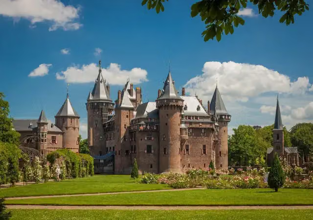 Kasteel de HaarAttraction · 3.4 km from the route
- 2
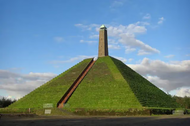 Pyramid of AusterlitzAttraction · 7.8 km from the route
- 3
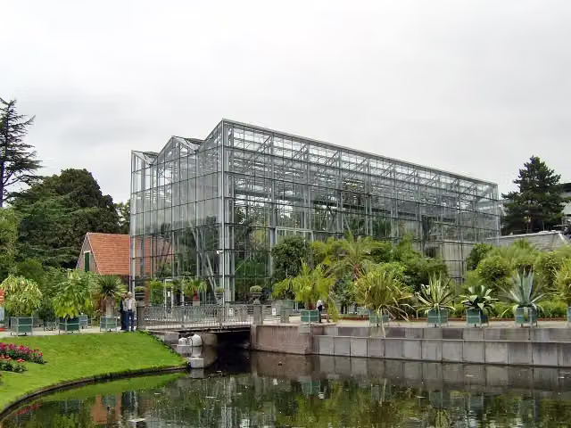 Hortus botanicus LeidenAttraction · 156 m from the route
- 4
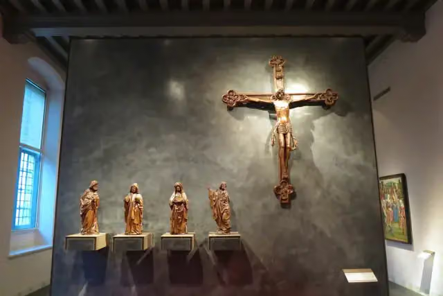 Museum CatharijneconventMuseum · 192 m from the route
- 5
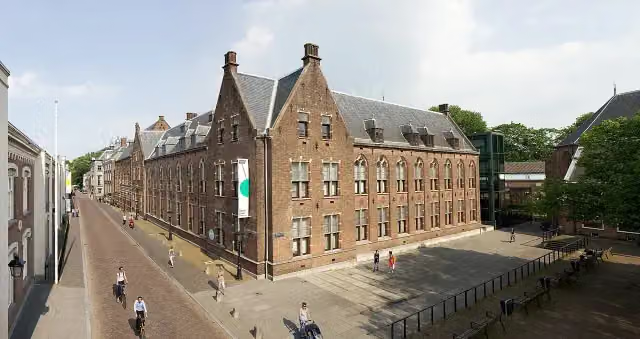 Centraal MuseumMuseum · 224 m from the route
- 6
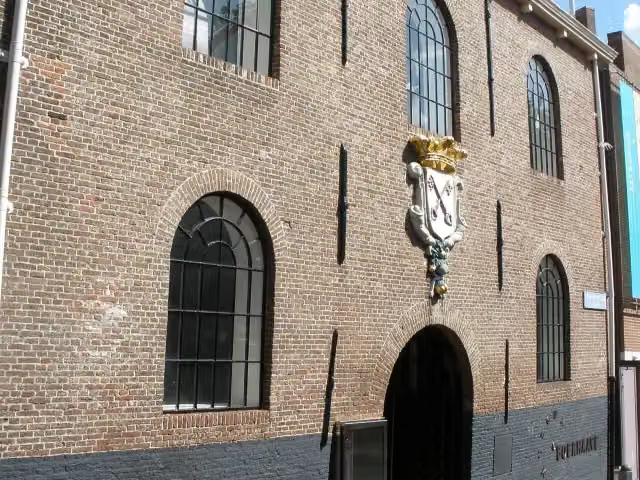 Rijksmuseum BoerhaaveMuseum · 279 m from the route
- 7
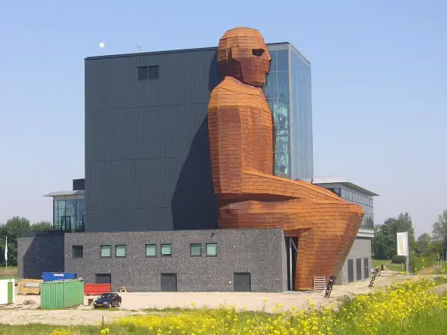 CorpusMuseum · 314 m from the route
- 8
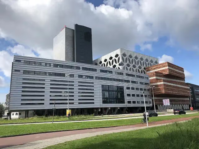 Naturalis Biodiversity CentreMuseum · 481 m from the route
- 9
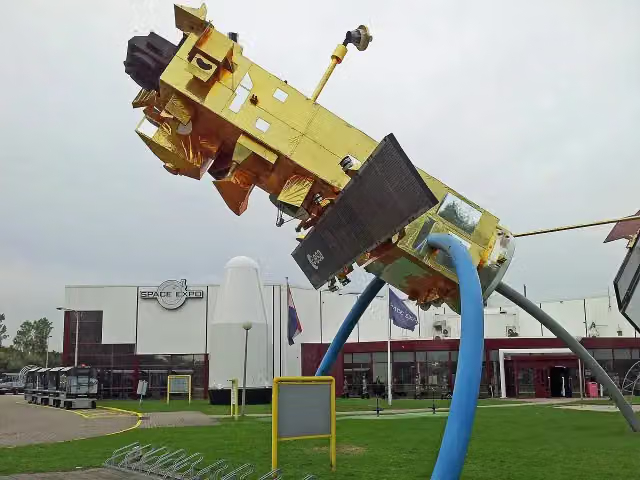 Space ExpoMuseum · 1.4 km from the route
- 10
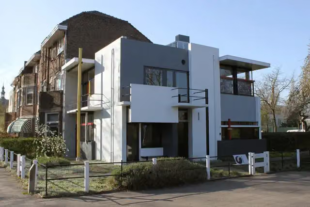 Rietveld-SchröderhuisMuseum · 1.7 km from the route
- 11
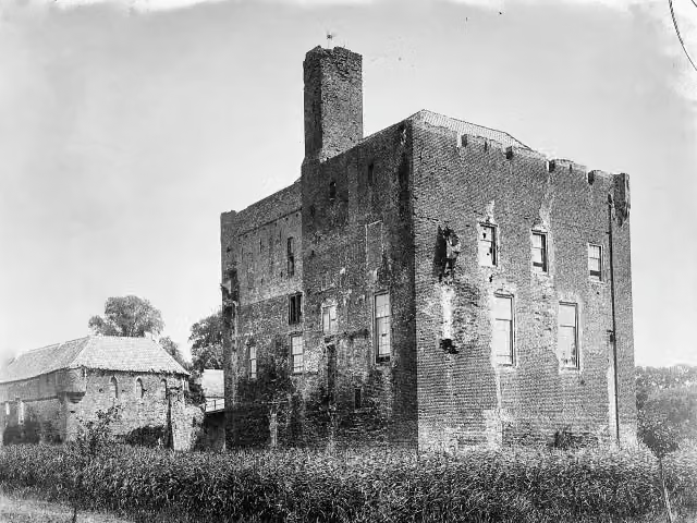 Kasteel DoornenburgAttraction · 1.7 km from the route
- 12
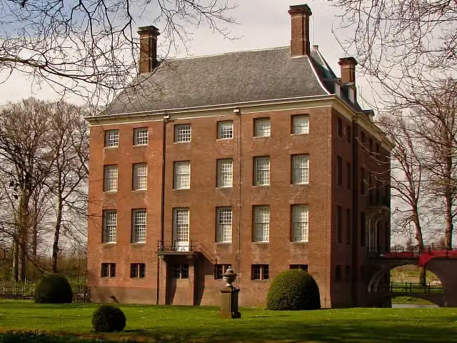 Kasteel AmerongenCastle · 3.6 km from the route
- 13
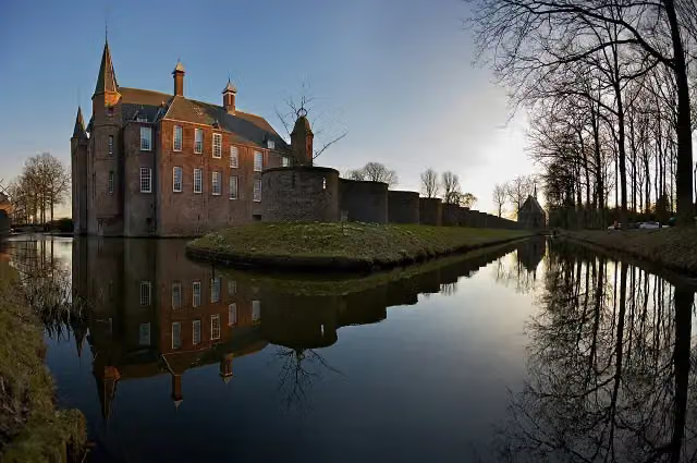 Slot ZuylenCastle · 4.4 km from the route
- 14
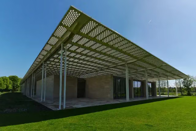 Museum VoorlindenMuseum · 8.6 km from the route
- 15
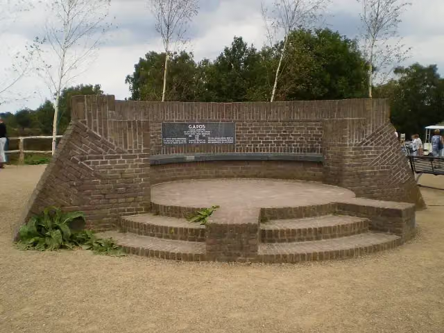 PosbankMemorial · 9.6 km from the route
- 16
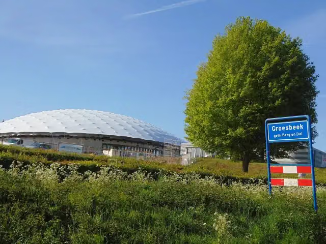 Freedom MuseumMuseum · 3.1 km from the route
- 17
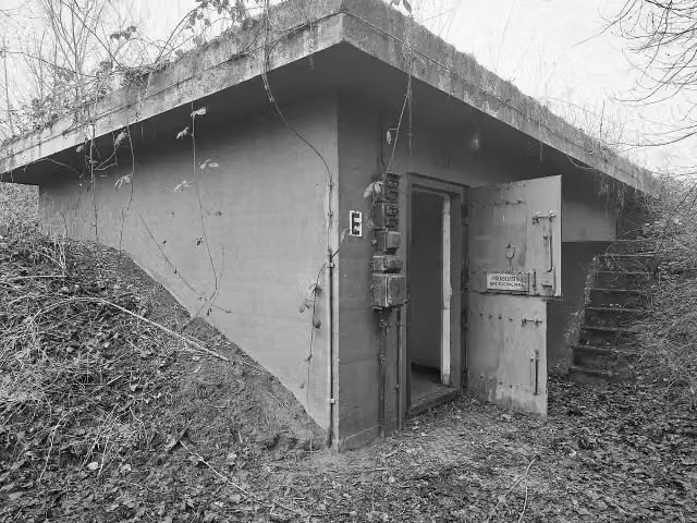 Fort WierickerschansFort · 178 m from the route
- 18
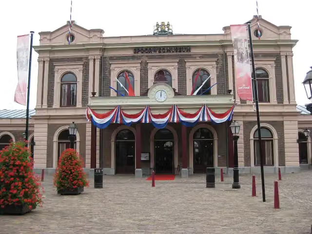 SpoorwegmuseumMuseum · 687 m from the route
- 19
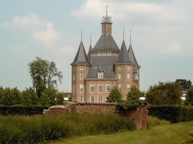 Kasteel HeemstedeCastle · 1.9 km from the route
- 20
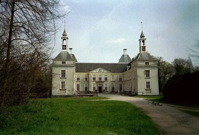 Huys te WarmontCastle · 3.2 km from the route
- 21
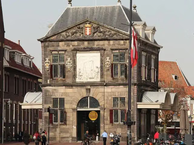 WaagAttraction · 5.9 km from the route
- 22
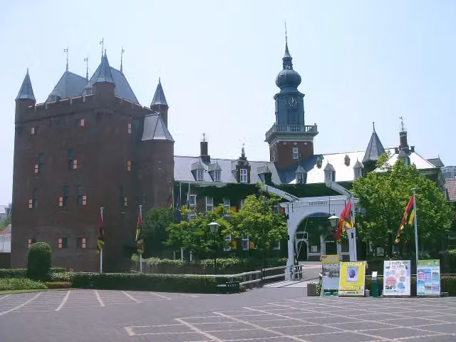 Kasteel NijenrodeCastle · 8.2 km from the route
- 23
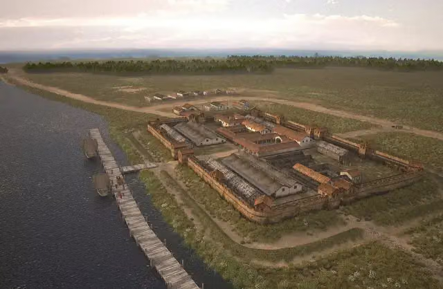 Nigrum PullumArchaeological site · 123 m from the route
- 24
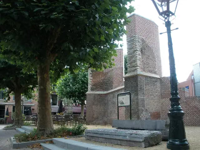 VrouwekerkRuins · 213 m from the route
- 25
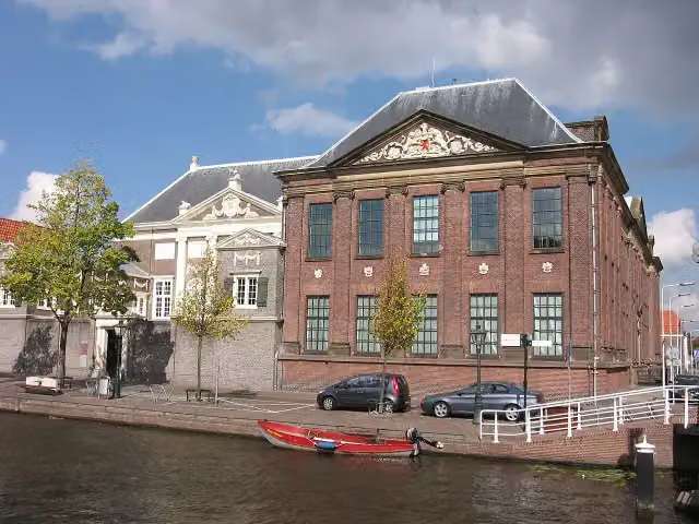 De LakenhalMuseum · 230 m from the route
Explore more
Frequently asked questions
How long is Romeinse Limespad - Hoofdroute?
Romeinse Limespad - Hoofdroute is 288.6 km long, in 19 stages of 15.2 km on average. Allow ± 3:25 h per stage of walking: 4.5 km an hour and 10 minutes more per 100 metres of climbing, without breaks.
Is this route a circular walk?
No, the route runs from Katwijk aan Zee to Xanten (D).
Where does this route start?
The route starts in Katwijk.
How hard is this route?
Moderate per stage.
Are there toilets along this route?
Yes, there are 24 public toilets within 100 m of the route. The longest stretch without a toilet is 48.9 km.
Can you fill up with water along this route?
Yes, there are 50 water fountains and refill points within 100 m of the route.
What is there to see along this route?
Along the way you pass Katwijks museum, Oud Poelgeest and Wereldmuseum Leiden.
Starting point
More routes from this place
Route data © OpenStreetMap contributors





