 Outdoor Pitstop
Cycle route · Diemelstadt · Updated on 14 November 2026
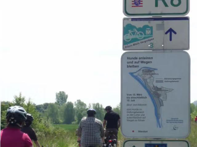
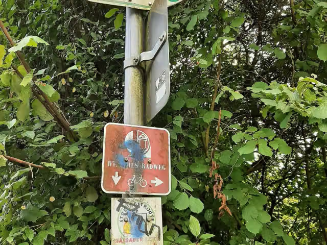
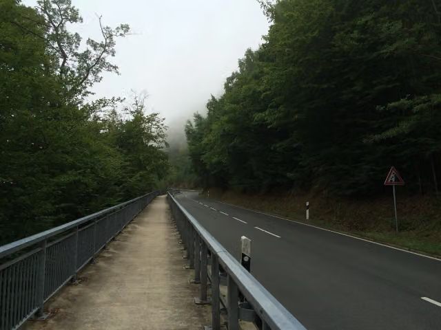
Hessischer Radfernweg R6 cycle route
Hessischer Radfernweg R6 is a cycle route of 400 km from Diemelstadt. Along the way you'll find 793 benches, 9 water fountains and refill points, 29 public toilets, 10 bike pumps and 2 honesty boxes and farm vending machines.
i
i
i
The route step by step
From start to finish, with what you pass along the way and the distance in between.
- 400 km
- ± 26:40 h
- ↑ 2,693 m · ↓ 2,807 m
- Hard
- From A to B
- Regional route
Start in Diemelstadt
0 km16.2 km · 8 benches
Public toilet and water point
16.2 km1.4 km

Rauch-Geburtshaus
17.6 kmPublic toilet
285 m · 6 benches
Ausstellung der Arolsen Archives and 1 more
17.9 kmSchreibersches Haus
209 m · bench
Rauch-Museum
18.1 km2 public toilets
220 m · 6 benches
Bike pump
18.3 km3.1 km · 9 benches
Public toilet
21.5 km1.4 km · 15 benches
Public toilet
22.9 km221 m · 3 benches
Public toilet and water point
23.1 km8.5 km · 3 benches
Landauer Wasserkunst
31.6 kmMuseum
9.7 km · 4 benches
Public toilet
41.3 km19.1 km · 14 benches
Public toilet and bike pump
60.4 km3.3 km · 19 benches
Public toilet
63.7 km317 m · bench
Water point
64 km5.4 km · 30 benches
3 public toilets
69.4 km3.6 km · bench
Public toilet
73 km8.1 km · 6 benches
3 public toilets
81.1 km8.8 km
Public toilet
89.9 km284 m
Public toilet
90.2 km18.4 km · 30 benches
Water point and bike pump
108.5 km16.5 km · 27 benches
Bike pump
125.1 km22.9 km · 18 benches
Public toilet
148 km5.4 km · 4 benches
Bike pump
153.4 km16 km · 18 benches
Water point
169.4 km14.7 km · 47 benches
Public toilet
184.1 km18.2 km · 34 benches
Heimatmuseum Lich
202.3 kmPublic toilet
197 m · 13 benches
Schloss Lich
202.5 kmCastle
284 m · 5 benches
Honesty box
202.8 km9.8 km · 53 benches
Burgruine Münzenberg
212.6 kmWater point
241 m · 17 benches
Public toilet
212.9 km
Show the other 22 steps
4.4 km · 22 benches
Burg Rockenberg
217.3 kmAttraction
15.3 km · 23 benches
Water point
232.6 km12.7 km · 9 benches
Public toilet and water point
245.3 km2.7 km · 7 benches
Public toilet
248 km13.2 km · 22 benches
Bike pump
261.2 km11.5 km · 31 benches
Obertorturm
272.7 kmViewpoint
223 m · 15 benches
Alte Amtsapotheke and 1 more
272.9 kmEhemalige Synagoge
7.3 km · 27 benches
Honesty box
280.2 km2.8 km · 11 benches
Residenzschloss
283 kmCastle
157 m · 10 benches
Hexenturm
283.2 kmPublic toilet
4.7 km · 39 benches
Water point
287.8 km12.3 km · 27 benches
Jagdschloss Platte
300.2 kmCastle
15.4 km · 24 benches
Bike pump
315.5 km3.9 km · 6 benches
Harlikeneum
319.4 kmMuseum
6.4 km · 5 benches
Public toilet
325.9 km956 m · 16 benches
Bike pump
326.8 km257 m · 5 benches
Schwedische Festung Gustavsburg
327.1 kmCastle
180 m · bench
Public toilet and bike pump
327.3 km5 km · 22 benches
Bike pump
332.3 km21.9 km · 15 benches
Public toilet
354.2 km28.5 km · 52 benches
Fährturm Nordheim
382.7 kmObservation tower
17.4 km · 11 benches
Finish
400 km
Longest stretch without a toilet: 57.8 kmBetween 90.2 km and 148 km there is no public toilet within 100 m of the route.
The route with the pitstops and sights within 100 m of it.
18 sights along the way
In the order you pass them. With the Outdoor Pitstop app you hear their story on the spot. 10 more along the route are on the map.

Museum · after 17.6 km
Museum · after 17.9 km
Museum · after 18.1 km
Museum · after 18.1 km
Museum · after 31.6 km
Museum · after 202.3 km
i
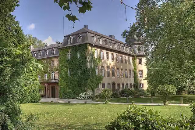
Photo: Sven Teschke, Büdingen · Wikimedia Commons · CC BY-SA 3.0 deView the photo on Wikimedia CommonsCastle · after 202.5 km
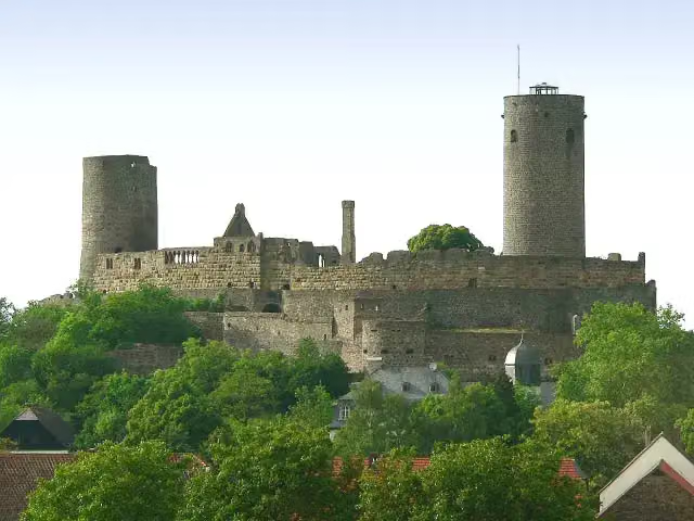
i
Photo: Presse03 · Wikimedia Commons · CC BY-SA 3.0View the photo on Wikimedia CommonsCastle · after 212.8 km
Elevation and terrain
- Up
- ↑ 2,693 m
- Down
- ↓ 2,807 m
- Highest point
- 573 m
- Lowest point
- 85 m
- 5-10% slope · 2 km
Elevation from Copernicus GLO-30 (European Union and ESA), smoothed.
produced using Copernicus WorldDEM-30 © DLR e.V. 2010-2014 and © Airbus Defence and Space GmbH 2014-2018 provided under COPERNICUS by the European Union and ESA; all rights reserved
Way types
400 km in total- Track: 225.5 km
- Street: 62 km
- Road: 52.2 km
- Path: 42.6 km
- Busy road: 10.2 km
- Footpath (walk your bike): 4 km
- Cycle path: 2.7 km
Surfaces
400 km in total- Asphalt: 243.9 km
- Gravel: 75.2 km
- Paved: 55.5 km
- Unpaved: 1.4 km
- Unknown: 23 km
About the cycle route Hessischer Radfernweg R6
Updated on 14 November 2026, with data from OpenStreetMap, the AHN and Copernicus.
Where do you cycle?
Hessischer Radfernweg R6 is a cycle route of 400 km that starts in Diemelstadt. It does not end where it starts. You start in Diemelstadt/Diemel and finish in Lampertheim/Rhein. Along the way you pass Rauch-Geburtshaus (after 17.6 km), Ausstellung der Arolsen Archives (after 17.9 km) and Schreibersches Haus (after 18.1 km).
How hard is the route?
You climb 2,693 m in total and descend 2,807 m. Allow ± 26:40 h, without breaks. The level is hard.
What roads do you cycle on?
The longest part is track (225.5 km), street (62 km) and road (52.2 km). Of the surface, 243.9 km asphalt and 75.2 km gravel. For 23 km the surface is not known.
Pitstops along the way
Within 100 metres of the route there are 793 benches, 9 water fountains and refill points, 29 public toilets, 10 bike pumps and 2 honesty boxes and farm vending machines. The longest stretch without a toilet is 57.8 km. The Outdoor Pitstop app navigates you there.
Cycle routes nearby
6Sights nearby
Within 10 km of the route, best known first.
- 1
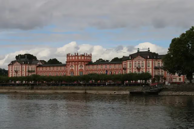 Biebrich PalaceAttraction · 4.9 km from the route
- 2
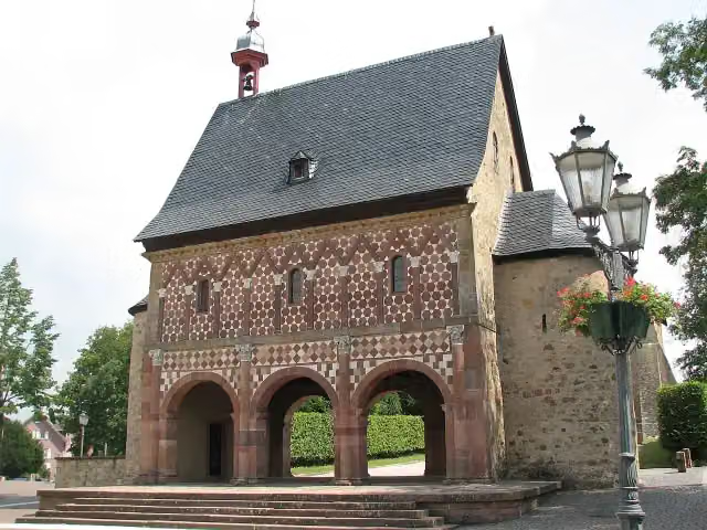 Lorsch AbbeyAttraction · 9.9 km from the route
- 3
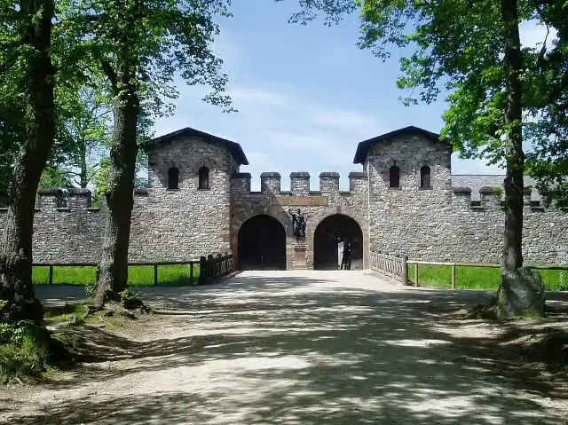 Römerkastell SaalburgMuseum · 6.2 km from the route
- 4
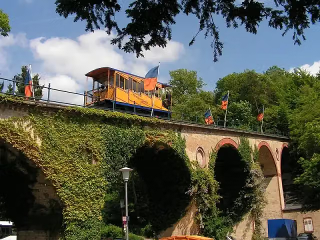 NerotalAttraction · 4.5 km from the route
- 5
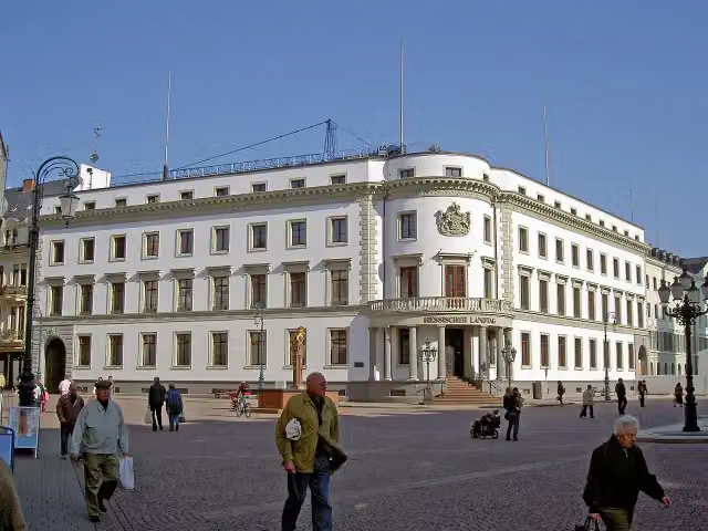 Stadtschloss WiesbadenCastle · 4.7 km from the route
- 6
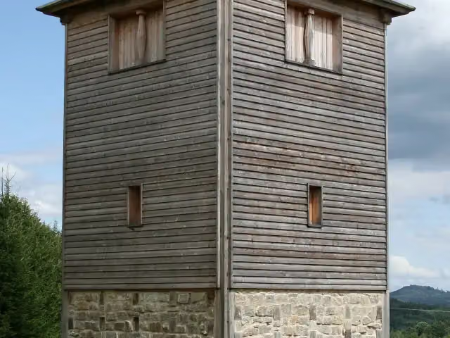 Römischer LimesAttraction · 6 km from the route
- 7
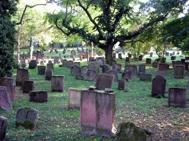 Old Jewish cemetery “Holy Sand”Attraction · 2.2 km from the route
- 8
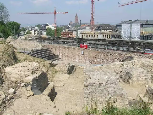 Roman Theatre Archaeological SiteArchaeological site · 2.4 km from the route
- 9
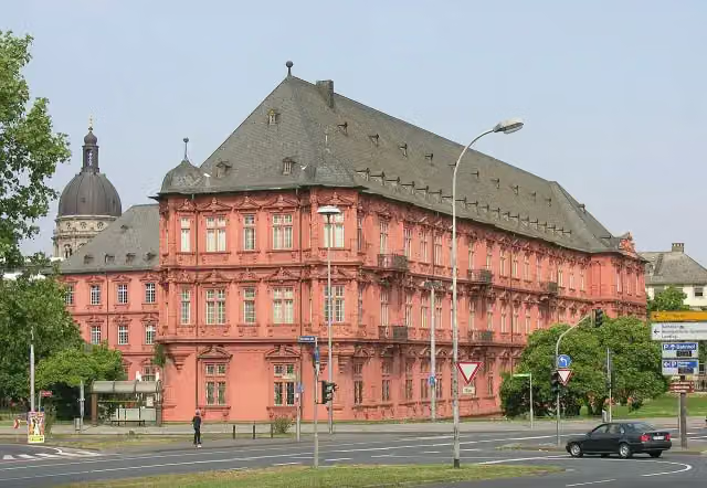 Kurfürstliches SchlossCastle · 2.7 km from the route
- 10
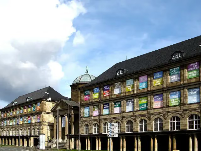 Museum WiesbadenMuseum · 4.1 km from the route
- 11
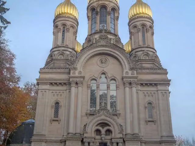 Russian Orthodox Church of Saint Elizabeth in WiesbadenAttraction · 4.2 km from the route
- 12
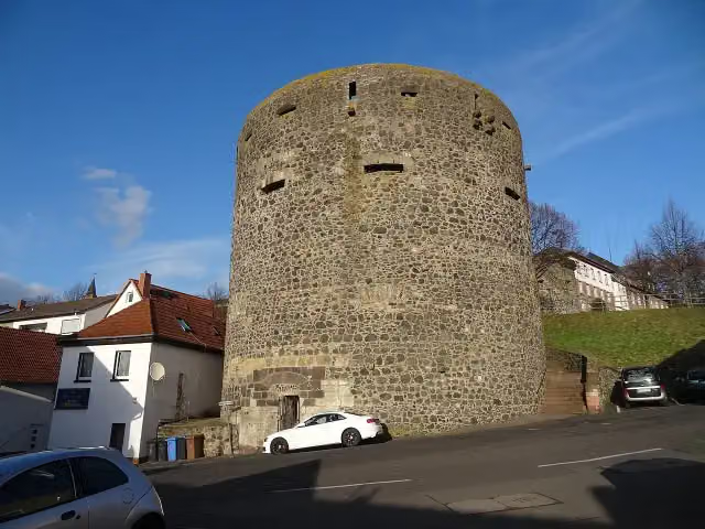 Dicker TurmRuins · 6.5 km from the route
- 13
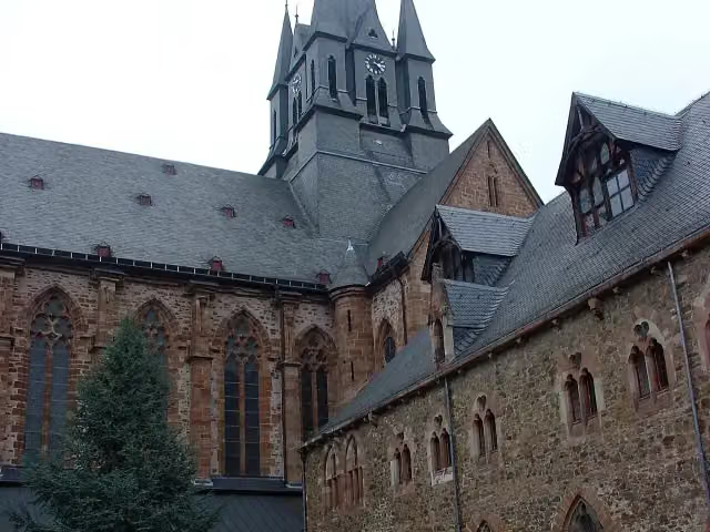 Kloster HainaAttraction · 8.3 km from the route
- 14
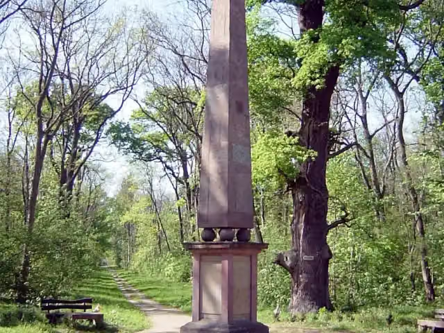 SchwedensäuleMemorial · 1.1 km from the route
- 15
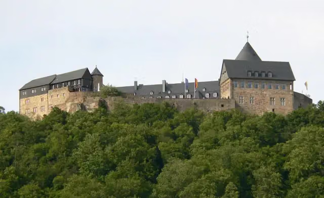 Schloß WaldeckCastle · 1.4 km from the route
- 16
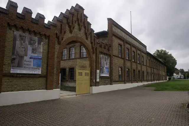 Concentration Camp Memorial OsthofenMemorial · 3.2 km from the route
- 17
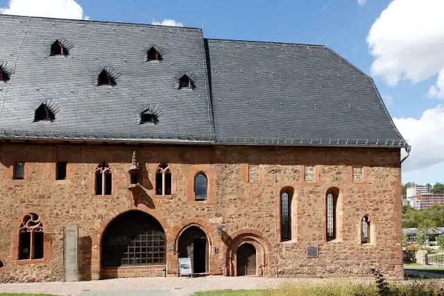 Museum im Kloster FrankenbergMuseum · 101 m from the route
- 18
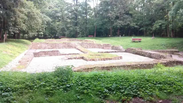 Burg SteinAttraction · 108 m from the route
- 19
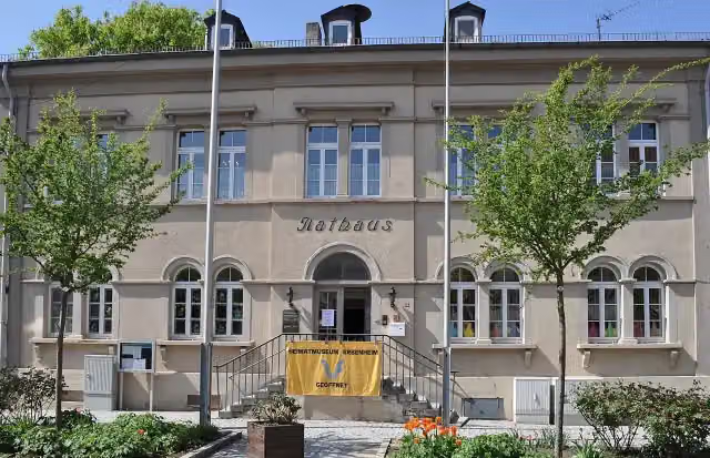 Heimatmuseum ErbenheimMuseum · 117 m from the route
- 20
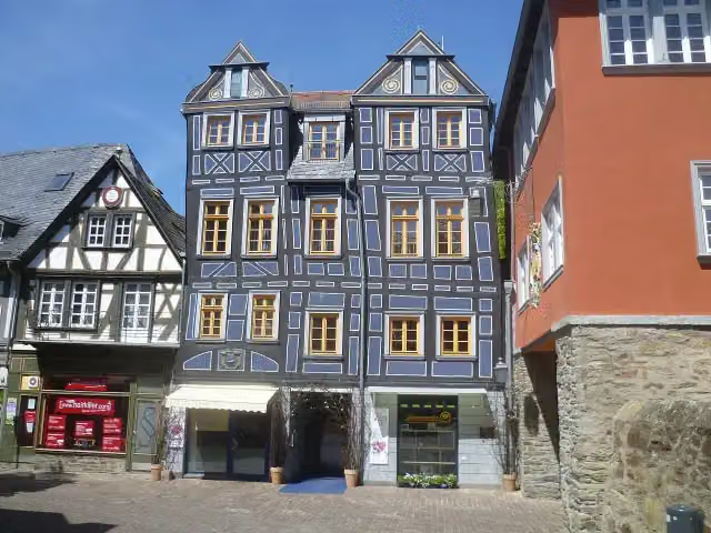 Schiefes HausAttraction · 123 m from the route
- 21
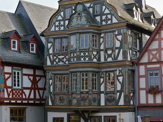 KillingerhausMuseum · 139 m from the route
- 22
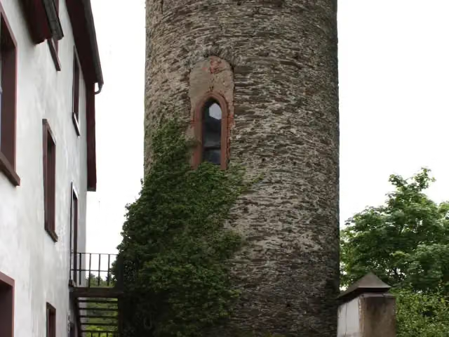 Schloss ZiegenbergCastle · 160 m from the route
- 23
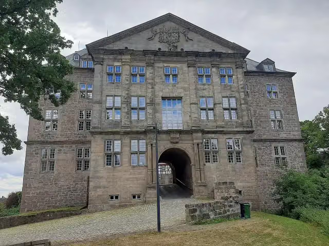 Schloss RhodenCastle · 167 m from the route
- 24
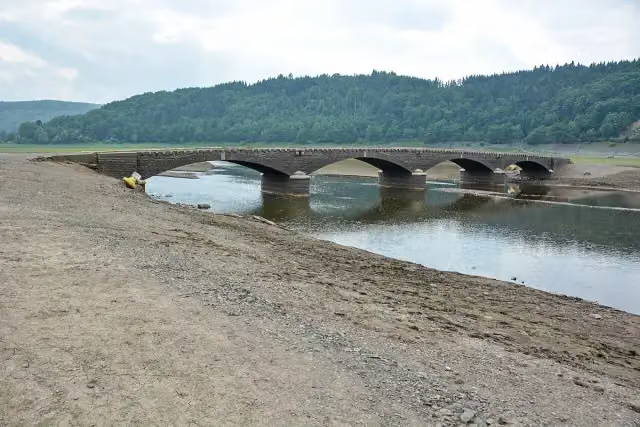 Aseler BrückeAttraction · 189 m from the route
- 25
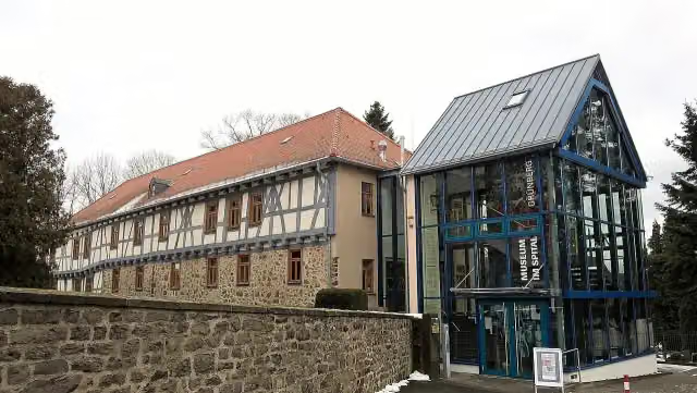 Museum im SpitalMuseum · 283 m from the route
Explore more
More cycle routes around Diemelstadt
Frequently asked questions
How long is Hessischer Radfernweg R6?
Hessischer Radfernweg R6 is 400 km long. Allow ± 26:40 h of riding: 15 km an hour, without breaks.
Is this route a circular ride?
No, the route runs from Diemelstadt/Diemel to Lampertheim/Rhein.
Where does this route start?
The route starts in Diemelstadt.
How hard is this route?
Hard, with 2,693 m of climbing.
Are there toilets along this route?
Yes, there are 29 public toilets within 100 m of the route. The longest stretch without a toilet is 57.8 km.
Can you fill up with water along this route?
Yes, there are 9 water fountains and refill points within 100 m of the route.
What is there to see along this route?
Along the way you pass Rauch-Geburtshaus, Ausstellung der Arolsen Archives and Schreibersches Haus.
Can I download this route as a GPX file?
Yes. Sign in with your Outdoor Pitstop account and choose Download GPX at the top of this page: 10 routes a month for free, unlimited with Pro.
Starting point
More routes from this place
Route data © OpenStreetMap contributors





