 Outdoor Pitstop
Cycle route · Zevenaar · Updated on 14 November 2026
Fietsen naar Praag
Fietsen naar Praag is a cycle route of 566.8 km from Zevenaar. Along the way you'll find 1,615 benches, 14 water fountains and refill points, 49 public toilets, 16 bike pumps and 7 honesty boxes and farm vending machines.
i
i
i
The route step by step
From start to finish, with what you pass along the way and the distance in between.
- 566.8 km
- ± 37:45 h
- ↑ 1,584 m · ↓ 1,374 m
- Hard
- From A to B
- International route
Start in Zevenaar
0 km6.7 km · 9 benches

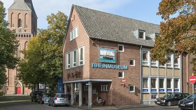
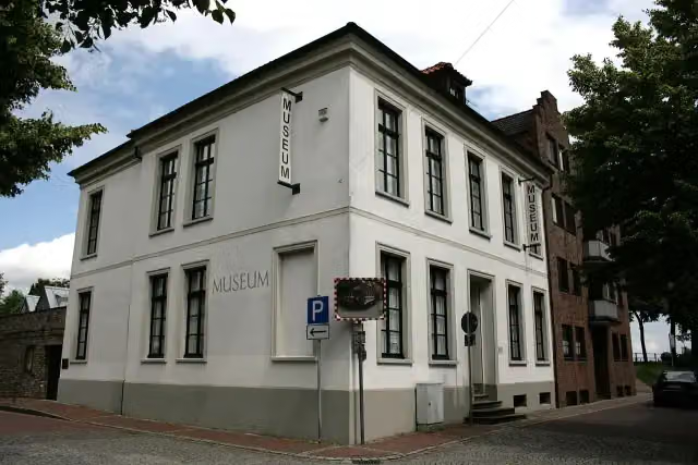
Rheinmuseum
6.7 kmPublic toilet
596 m · 45 benches
Bike pump
7.3 km352 m · 6 benches
Public toilet
7.6 km579 m · 9 benches
Bike pump
8.2 km8.4 km · 2 benches
Honesty box
16.6 km4 km · 4 benches
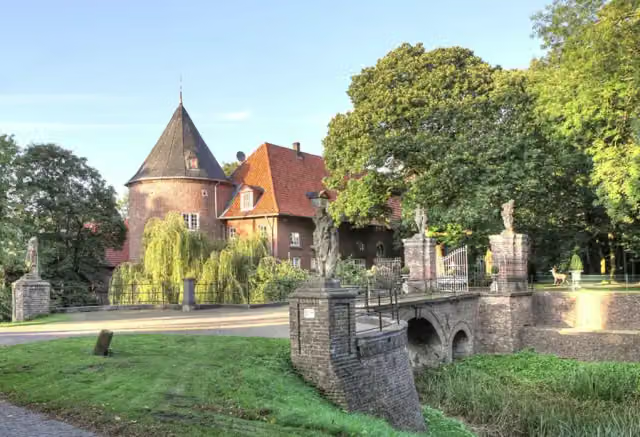
Schloss Hueth
20.6 kmCastle
8.3 km · 3 benches
Bike pump
28.9 km467 m · 21 benches
Public toilet
29.4 km618 m · 24 benches
Koenraad-Bosman-Museum
30 kmMuseum
22 km · 48 benches
Public toilet
52 km861 m · 10 benches
Bike pump
52.9 km14.5 km · 67 benches
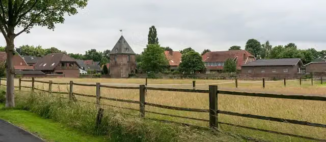
Krudenburg
67.4 kmPublic toilet and water point
5.6 km · 6 benches
Water point
73 km176 m
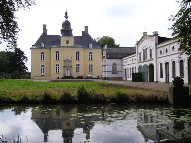
Schloss Gartrop
73.2 kmCastle
5.3 km · bench
Bike pump
78.5 km929 m · bench
Public toilet
79.4 km4.5 km · 4 benches
Heimatmuseum Schermbeck
83.9 kmMuseum
28.1 km · 26 benches
Bike pump
111.9 km2.6 km · 10 benches
Public toilet
114.5 km3.7 km · 14 benches
Honesty box
118.2 km2.7 km · 16 benches
Public toilet and 2 bike pumps
120.9 km26.2 km · 33 benches
Honesty box
147.1 km592 m · 3 benches
Bike pump
147.7 km6.5 km · 16 benches
Public toilet
154.2 km8.6 km · 10 benches
Water point
162.8 km166 m · 23 benches
Public toilet
162.9 km16.6 km · 48 benches
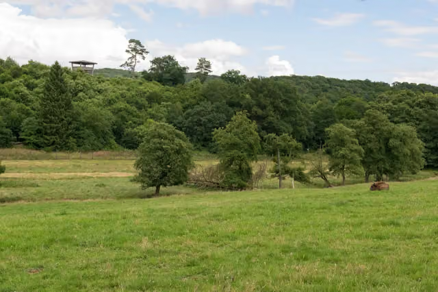
Observation tower
179.5 kmObservation tower
3.1 km · 8 benches
Public toilet
182.6 km8 km · 7 benches
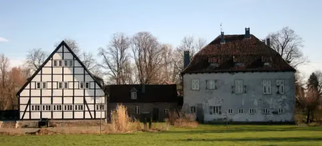
Burg Vellinghausen
190.6 kmCastle
Show the other 60 steps
5 km · bench
Public toilet
195.6 km246 m · 6 benches
Public toilet
195.9 km10.1 km · 12 benches
Public toilet
206 km730 m · 6 benches
Schloss Hovestadt
206.7 kmCastle
16.9 km · 30 benches
Bike pump
223.6 km1.8 km · 57 benches
Public toilet
225.5 km13.9 km · 11 benches
Honesty box
239.4 km16.2 km · 26 benches
3 public toilets
255.5 km4.5 km · 13 benches
Public toilet
260 km483 m · 5 benches
Public toilet
260.5 km1.2 km · 3 benches
2 public toilets and bike pump
261.6 km432 m · 10 benches
2 public toilets
262 km486 m · 4 benches
Public toilet
262.5 km9.8 km · 41 benches
Bike pump
272.3 km299 m · 8 benches
Honesty box
272.6 km4.1 km · 13 benches
Public toilet
276.8 km5 km · 21 benches
Teufelsstein
281.8 kmViewpoint
8 km · 51 benches
Observation tower
289.8 kmPublic toilet and water point
34.5 km · 75 benches
Water point
324.2 km4.1 km · 9 benches
Bike pump
328.4 km1.2 km · 19 benches
Public toilet
329.5 km24.8 km · 49 benches
Bike pump
354.4 km639 m · bench
Public toilet
355 km13.1 km · 66 benches
Dampflokachse
368.1 kmMemorial
177 m · 9 benches
Landgraf-Carl-Denkmal and 1 more
368.3 kmDeutsches Hugenotten-Museum, public toilet and bike pump
650 m · 44 benches
Public toilet
368.9 km10.4 km · 13 benches
Honesty box
379.3 km3.6 km · 8 benches
Burg Gieselwerder
383 kmPublic toilet
3.2 km · 18 benches
2 public toilets and water point
386.2 km6.5 km · 9 benches
Public toilet
392.7 km15.9 km · 24 benches
Water point
408.7 km1.9 km · bench
Ruine St. Laurentius
410.6 kmAttraction
1.9 km · 29 benches
Historischer Packhof and 1 more
412.5 kmHistorisches Rathaus and public toilet
233 m · 14 benches
Alte Werrabrücke and 1 more
412.8 kmWelfenschloss
19 km · 46 benches
Public toilet
431.7 km348 m · 3 benches
Völkerkundliches Museum
432.1 kmMuseum
366 m · 3 benches
Tropengewächshaus
432.4 kmAttraction
11.4 km · 23 benches
Public toilet
443.9 km4.5 km · 7 benches
Public toilet
448.3 km588 m · bench
Public toilet
448.9 km3.2 km · 19 benches
Brunnen vor dem Tore
452.1 kmAttraction
809 m · 9 benches
Public toilet
452.9 km4.4 km · 14 benches
Honesty box
457.4 km9.8 km · 28 benches
Schloss Jestädt
467.2 kmCastle
6 km · 20 benches
Public toilet
473.1 km9 km · 43 benches
Pestlinde
482.1 kmMemorial
2.1 km · 7 benches
Public toilet
484.2 km10.4 km · 43 benches
Heimatmuseum Treffurt and 1 more
494.6 kmRathaus and public toilet
7 km · 15 benches
2 public toilets and 3 water fountains and refill points
501.6 km2.4 km · 4 benches
Gefallenendenkmal I. und II. WK
504 kmMemorial
14.6 km · 26 benches
Werrabrücke Creuzburg
518.5 kmAttraction
6.5 km · 5 benches
Public toilet, water point and bike pump
525 km264 m · 11 benches
Water point
525.3 km1.7 km · 12 benches
Gefallenendenkmal
527 kmMemorial
5.6 km · 18 benches
Public toilet
532.6 km4.9 km · 8 benches
Water point
537.5 km6.9 km · 11 benches
Water point
544.4 km7.8 km · 23 benches
Gefallenendenkmal
552.2 kmMemorial
7.3 km · 20 benches
Kalibergbau-Museum
559.5 kmPublic toilet
7.3 km · 16 benches
Finish
566.8 km
Longest stretch without a toilet: 39.7 kmBetween 289.9 km and 329.5 km there is no public toilet within 100 m of the route.
The route with the pitstops and sights within 100 m of it.
32 sights along the way
In the order you pass them. With the Outdoor Pitstop app you hear their story on the spot. 24 more along the route are on the map.
i
Photo: Raimond Spekking · Wikimedia Commons · CC BY-SA 4.0View the photo on Wikimedia CommonsMuseum · after 6.7 km
i
Photo: Michael Belter · Wikimedia Commons · CC BY-SA 3.0View the photo on Wikimedia CommonsCastle · after 20.6 km
i
Photo: Frank Vincentz · Wikimedia Commons · CC BY-SA 3.0View the photo on Wikimedia CommonsMuseum · after 30 km
i
Photo: Dietmar Rabich · Wikimedia Commons · CC BY-SA 4.0View the photo on Wikimedia CommonsArchaeological site · after 67.4 km
i
Photo: Daniel Ullrich, Threedots · Wikimedia Commons · CC BY-SA 3.0View the photo on Wikimedia CommonsCastle · after 73.2 km

Museum · after 83.9 km
Observation tower · after 179.5 km
i
Photo: Begede · Wikimedia Commons · CC BY-SA 3.0View the photo on Wikimedia CommonsCastle · after 190.6 km
Elevation and terrain
- Up
- ↑ 1,584 m
- Down
- ↓ 1,374 m
- Highest point
- 402 m
- Lowest point
- 14 m
- 1 flight of stairs
Elevation from Copernicus GLO-30 (European Union and ESA), smoothed.
produced using Copernicus WorldDEM-30 © DLR e.V. 2010-2014 and © Airbus Defence and Space GmbH 2014-2018 provided under COPERNICUS by the European Union and ESA; all rights reserved
Way types
566.8 km in total- Road: 154.1 km
- Track: 144.8 km
- Path: 111.9 km
- Street: 96.7 km
- Cycle path: 34.3 km
- Busy road: 20.9 km
- Footpath (walk your bike): 2.8 km
- Steps (carry your bike): 1 flight of stairs
Surfaces
566.8 km in total- Asphalt: 426.1 km
- Gravel: 59.9 km
- Paved: 38.7 km
- Unpaved: 1.8 km
- Natural: 800 m
- Unknown: 38.3 km
About the cycle route Fietsen naar Praag
Updated on 14 November 2026, with data from OpenStreetMap, the AHN and Copernicus.
Where do you cycle?
Fietsen naar Praag is a cycle route of 566.8 km that starts in Zevenaar. It does not end where it starts. Along the way you pass Rheinmuseum (after 6.7 km), Schloss Hueth (after 20.6 km) and Koenraad-Bosman-Museum (after 30 km).
How hard is the route?
You climb 1,584 m in total and descend 1,374 m. There is 1 flight of steps along the way. Allow ± 37:45 h, without breaks. The level is hard.
What roads do you cycle on?
The longest part is road (154.1 km), track (144.8 km) and path (111.9 km). Of the surface, 426.1 km asphalt and 59.9 km gravel. For 38.3 km the surface is not known.
Pitstops along the way
Within 100 metres of the route there are 1,615 benches, 14 water fountains and refill points, 49 public toilets, 16 bike pumps and 7 honesty boxes and farm vending machines. The longest stretch without a toilet is 39.7 km. The Outdoor Pitstop app navigates you there.
Cycle routes nearby
6- NiederRheinroute (Nord)Hard · From A to B183.7 km
- Rhein-Radweg [Niederrhein]Hard · From A to B86.6 km
- Rhein-Waal-RouteEasy · From A to B9.4 km
- NiederRheinroute-V001Easy · From A to B4.6 km
- Rhein-Route D8 [NRW]Hard · From A to B235.1 km
- EuroVelo 15 - Rheinradweg - Teilstrecke Köln - Grenze NiederlandeHard · From A to B192.3 km
Sights nearby
Within 10 km of the route, best known first.
- 1
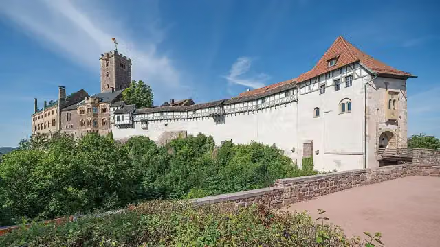 WartburgAttraction · 7 km from the route
- 2
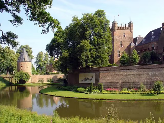 Kasteel Huis BerghCastle · 3.9 km from the route
- 3
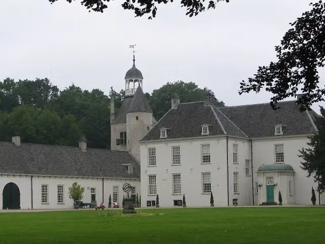 Kasteel WischCastle · 8.9 km from the route
- 4
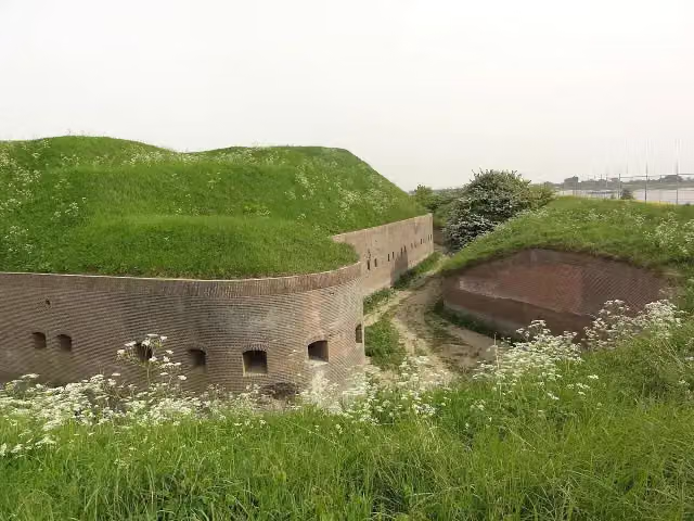 Fort PannerdenAttraction · 9.6 km from the route
- 5
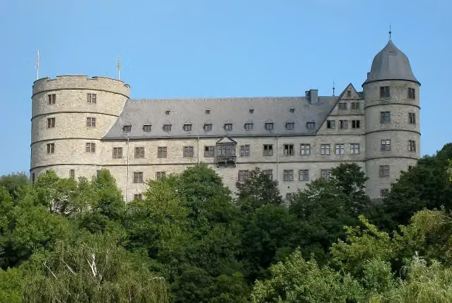 WewelsburgCastle · 6.9 km from the route
- 6
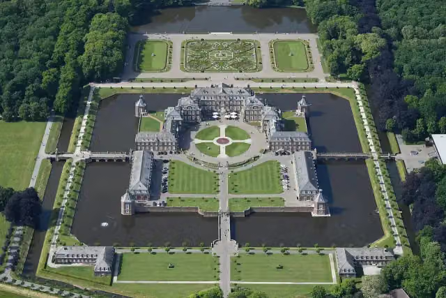 Schloss NordkirchenCastle · 7.7 km from the route
- 7
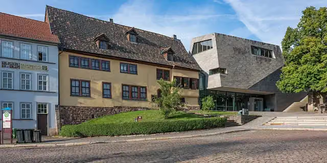 Bachhaus EisenachMuseum · 7.6 km from the route
- 8
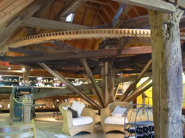 De RosmolenMuseum · 7.2 km from the route
- 9
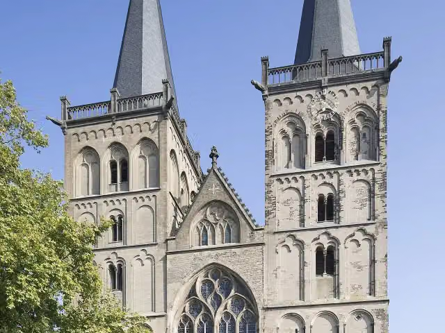 Xanten CathedralAttraction · 2.6 km from the route
- 10
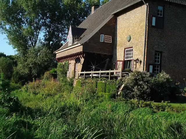 CamphuysenCastle · 7.7 km from the route
- 11
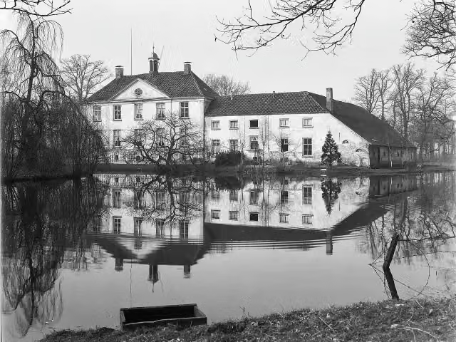 Huize BabberichCastle · 6.7 km from the route
- 12
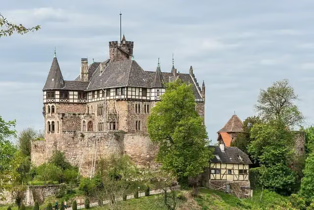 Schloss BerlepschCastle · 3 km from the route
- 13
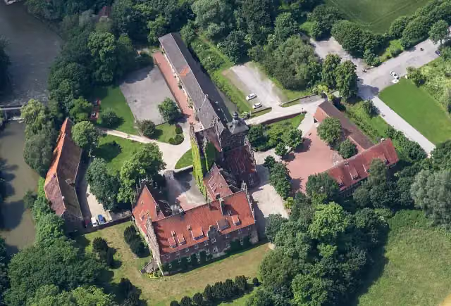 Schloss HeessenCastle · 546 m from the route
- 14
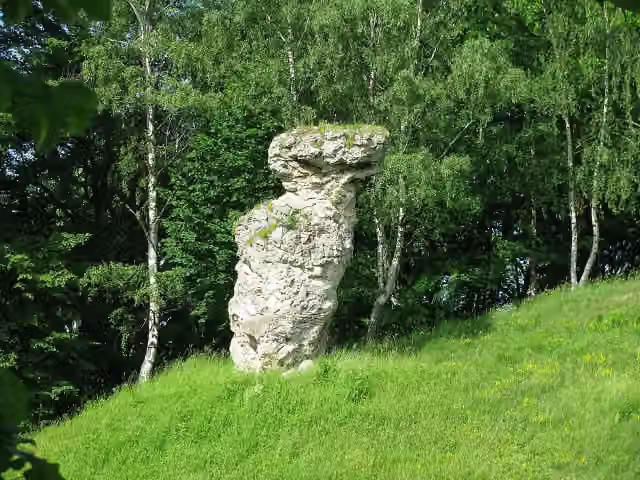 TodtsteinViewpoint · 3.2 km from the route
- 15
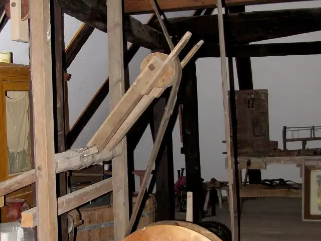 Schäferkämper WatermillMuseum · 5.7 km from the route
- 16
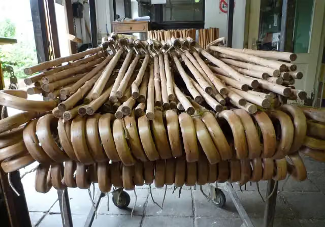 StockmachermuseumMuseum · 89 m from the route
- 17
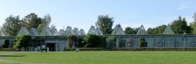 LWL-RömermuseumMuseum · 97 m from the route
- 18
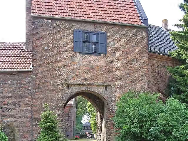 Burg SchermbeckCastle · 102 m from the route
- 19
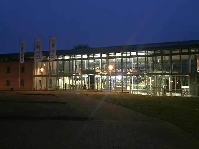 LVR-Niederrheinmuseum WeselMuseum · 106 m from the route
- 20
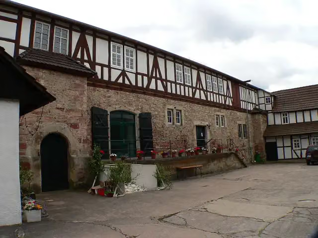 Schloss WanfriedCastle · 125 m from the route
- 21
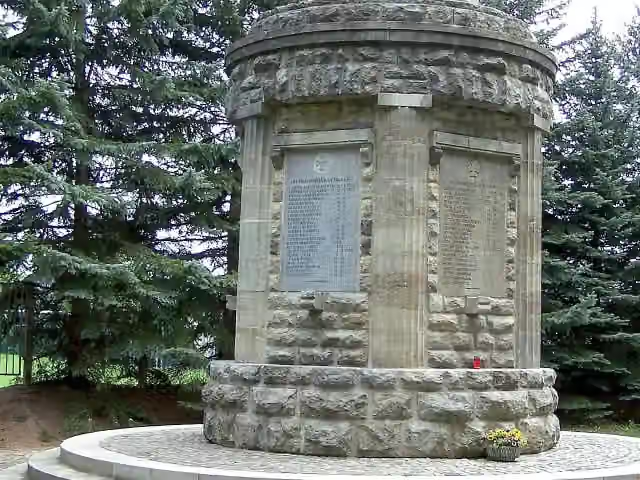 MemorialMemorial · 126 m from the route
- 22
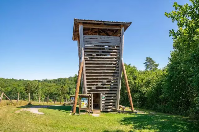 Wisent TurmObservation tower · 126 m from the route
- 23
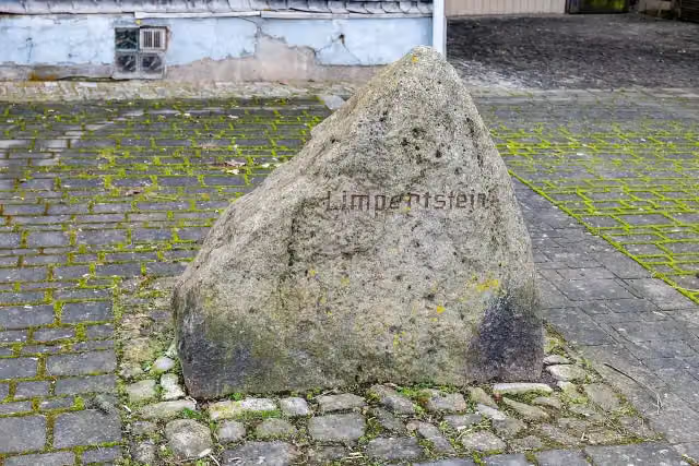 LimpertsteinMemorial · 127 m from the route
- 24
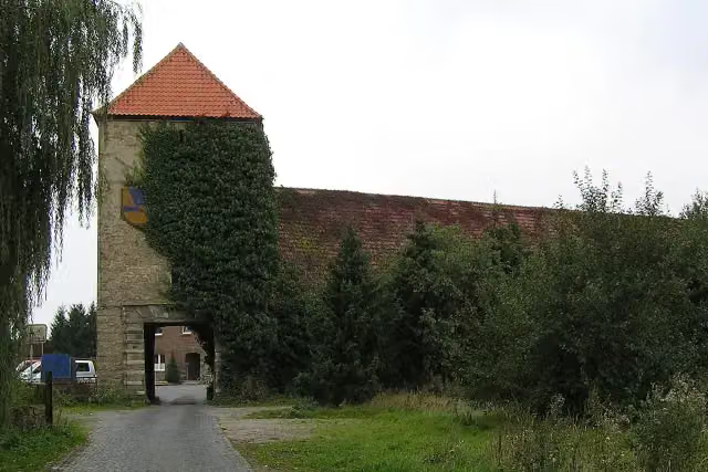 Haus OstendorfCastle · 128 m from the route
- 25
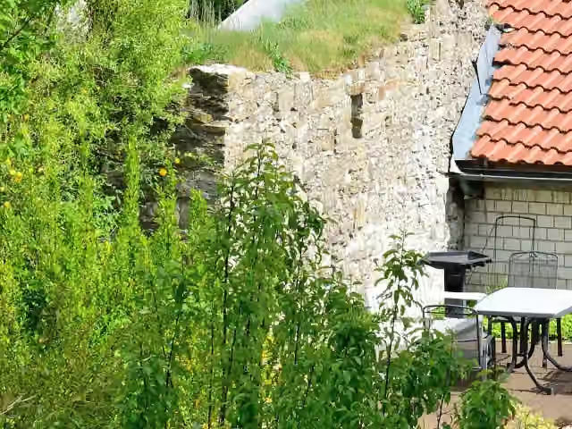 Ettelner BurgCastle · 131 m from the route
Explore more
Frequently asked questions
How long is Fietsen naar Praag?
Fietsen naar Praag is 566.8 km long. Allow ± 37:45 h of riding: 15 km an hour, without breaks.
Is this route a circular ride?
No, the route starts and ends at different spots.
Where does this route start?
The route starts in Zevenaar.
How hard is this route?
Hard, with 1,584 m of climbing.
Are there toilets along this route?
Yes, there are 49 public toilets within 100 m of the route. The longest stretch without a toilet is 39.7 km.
Can you fill up with water along this route?
Yes, there are 14 water fountains and refill points within 100 m of the route.
What is there to see along this route?
Along the way you pass Rheinmuseum, Schloss Hueth and Koenraad-Bosman-Museum.
Can I download this route as a GPX file?
Yes. Sign in with your Outdoor Pitstop account and choose Download GPX at the top of this page: 10 routes a month for free, unlimited with Pro.
Starting point
More routes from this place
Route data © OpenStreetMap contributors





