 Outdoor Pitstop
Cycle route · Kerken · Updated on 14 November 2026
NiederRheinroute (Nord) cycle route
NiederRheinroute (Nord) is a cycle route of 183.7 km from Kerken. Along the way you'll find 320 benches, 10 water fountains and refill points, 10 public toilets, 3 bike pumps and 2 honesty boxes and farm vending machines.
i
i
The route step by step
From start to finish, with what you pass along the way and the distance in between.
- 183.7 km
- ± 12:15 h
- ↑ 317 m · ↓ 324 m
- Hard
- From A to B
- Regional route
Start in Kerken
0 km2.8 km
Honesty box
2.8 km17.3 km · 44 benches

Burg Wachtendonk
20.1 kmCastle
872 m · 4 benches
Water point
21 km2.2 km · bench
Haus Ingenraedt
23.2 kmCastle
4.7 km · bench
Honesty box
27.9 km1.8 km · 2 benches
Public toilet and water point
29.7 km11.1 km · 4 benches
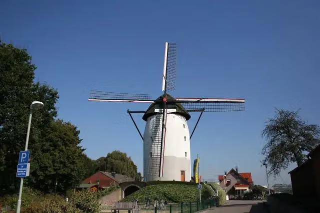
Steprather Mühle
40.8 kmAttraction
7.5 km · 4 benches
Bike pump
48.3 km967 m · 3 benches
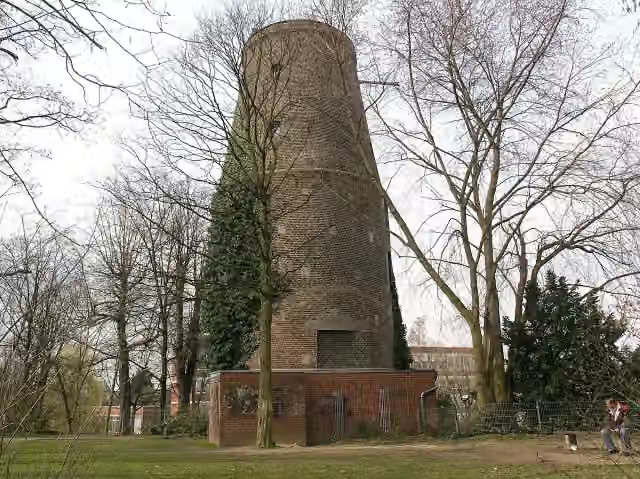
Mühlenturm
49.3 kmAttraction
3.6 km · 36 benches
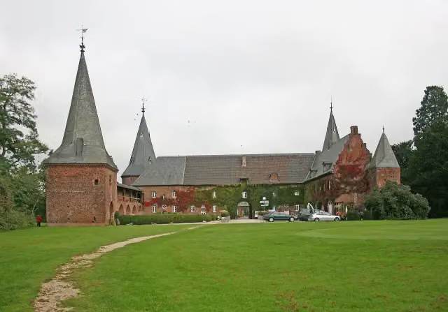
Schloss Haag
52.9 kmCastle
11.4 km · 20 benches
Public toilet and water point
64.2 km456 m · 33 benches
Water point
64.7 km395 m · bench
Public toilet
65.1 km5.6 km · 6 benches
Schloss Wissen
70.7 kmCastle
2.3 km · 5 benches
Public toilet
73 km925 m · 3 benches
Public toilet
74 km10.4 km · 8 benches
Museum Goch
84.4 kmMuseum
337 m · bench
Haus zu den Fünf Ringen
84.7 kmWater point
168 m
Water point
84.9 km40.5 km · 19 benches
Aussichtsturm
125.4 kmObservation tower
2.4 km · 3 benches
Museum Kurhaus and 1 more
127.8 kmAmphitheater
300 m · 12 benches
Public toilet
128.1 km1.8 km · 8 benches
2 water fountains and refill points
129.9 km230 m · 2 benches
Water point
130.1 km731 m · bench
Alte Mühle Donsbrüggen
130.9 kmAttraction
8.3 km · 16 benches
Katharinenhof and 1 more
139.2 kmMühlenturm
31.9 km · 13 benches
Rheinmuseum
171.1 kmPublic toilet
618 m · 45 benches
Bike pump
171.7 km351 m · 6 benches
Public toilet
172.1 km
Show the other 4 steps
558 m · 11 benches
Bike pump
172.6 km1.6 km · 3 benches
2 public toilets
174.2 km7.4 km · bench
Water point
181.5 km2.1 km · 4 benches
Finish
183.7 km
Longest stretch without a toilet: 54.1 kmBetween 74 km and 128.1 km there is no public toilet within 100 m of the route.
The route with the pitstops and sights within 100 m of it.
15 sights along the way
In the order you pass them. With the Outdoor Pitstop app you hear their story on the spot. 7 more along the route are on the map.
i
Photo: Sir Gawain · Wikimedia Commons · CC BY-SA 4.0View the photo on Wikimedia CommonsCastle · after 20.1 km
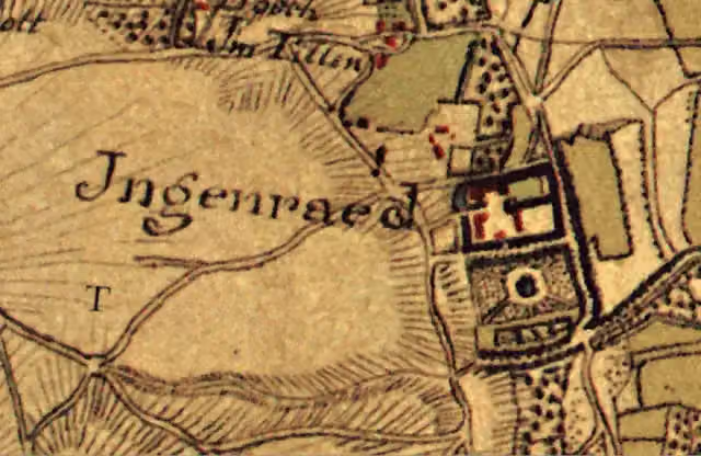
Castle · after 23.2 km
i
Photo: Frank Vincentz · Wikimedia Commons · CC BY-SA 3.0View the photo on Wikimedia CommonsAttraction · after 40.8 km
i
Photo: Willemjans · Wikimedia Commons · CC BY-SA 4.0View the photo on Wikimedia CommonsAttraction · after 49.3 km
i
Photo: Frank Vincentz · Wikimedia Commons · CC BY-SA 3.0View the photo on Wikimedia CommonsCastle · after 52.9 km
Castle · after 70.7 km
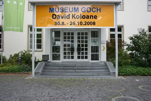
i
Photo: Frank Vincentz · Wikimedia Commons · CC BY-SA 3.0View the photo on Wikimedia CommonsMuseum · after 84.4 km
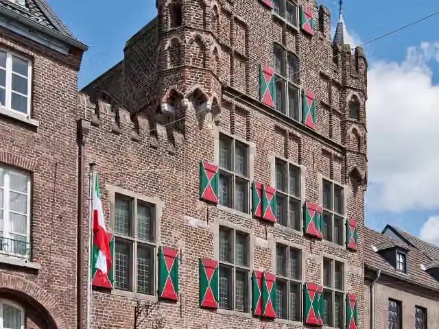
i
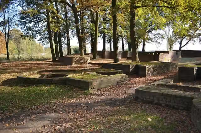
Photo: kaʁstn Disk/Cat · Wikimedia Commons · CC BY-SA 3.0 deView the photo on Wikimedia CommonsMonument · after 84.9 km
Elevation and terrain
- Up
- ↑ 317 m
- Down
- ↓ 324 m
- Highest point
- 102 m
- Lowest point
- 10 m
- 5-10% slope · 923 m
Elevation from Copernicus GLO-30 (European Union and ESA), smoothed.
produced using Copernicus WorldDEM-30 © DLR e.V. 2010-2014 and © Airbus Defence and Space GmbH 2014-2018 provided under COPERNICUS by the European Union and ESA; all rights reserved
Way types
183.7 km in total- Road: 75.3 km
- Street: 40 km
- Track: 33.9 km
- Path: 30.6 km
- Busy road: 2.4 km
- Footpath (walk your bike): 1.2 km
Surfaces
183.7 km in total- Asphalt: 94.1 km
- Paved: 25.3 km
- Gravel: 6.4 km
- Unpaved: 375 m
- Unknown: 57.1 km
About the cycle route NiederRheinroute (Nord)
Updated on 14 November 2026, with data from OpenStreetMap, the AHN and Copernicus.
Where do you cycle?
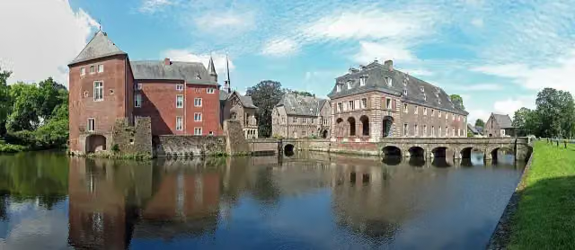
NiederRheinroute (Nord) is a cycle route of 183.7 km that starts in Kerken. It does not end where it starts. Along the way you pass Burg Wachtendonk (after 20.1 km), Haus Ingenraedt (after 23.2 km) and Steprather Mühle (after 40.8 km).
How hard is the route?
You climb 317 m in total and descend 324 m. Allow ± 12:15 h, without breaks. The level is hard.
What roads do you cycle on?
The longest part is road (75.3 km), street (40 km) and track (33.9 km). Of the surface, 94.1 km asphalt and 25.3 km paved. For 57.1 km the surface is not known.
Pitstops along the way
Within 100 metres of the route there are 320 benches, 10 water fountains and refill points, 10 public toilets, 3 bike pumps and 2 honesty boxes and farm vending machines. The longest stretch without a toilet is 54.1 km. The Outdoor Pitstop app navigates you there.
Cycle routes nearby
6Sights nearby
Within 10 km of the route, best known first.
- 1
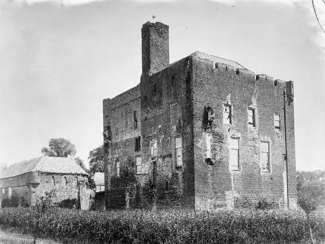 Kasteel DoornenburgAttraction · 6.6 km from the route
- 2
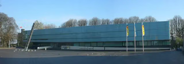 Valkhof MuseumMuseum · 7.5 km from the route
- 3
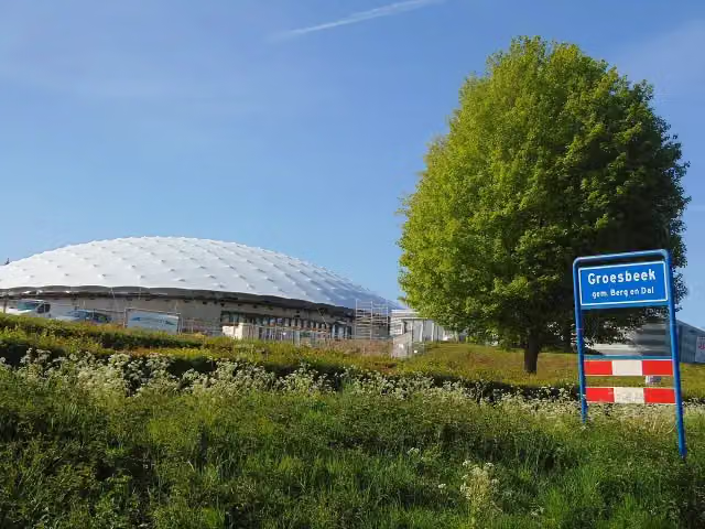 Freedom MuseumMuseum · 3.2 km from the route
- 4
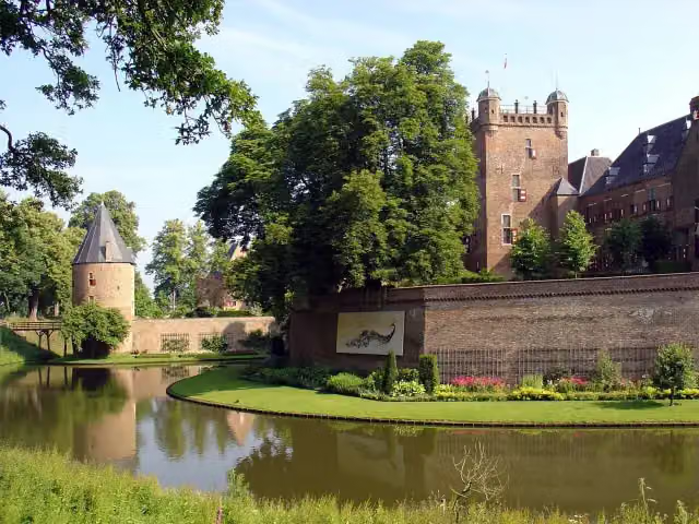 Kasteel Huis BerghCastle · 3 km from the route
- 5
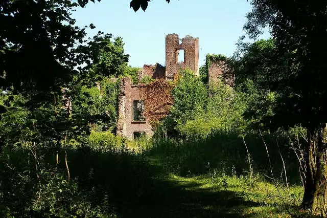 Kasteel BleijenbeekCastle · 6.9 km from the route
- 6
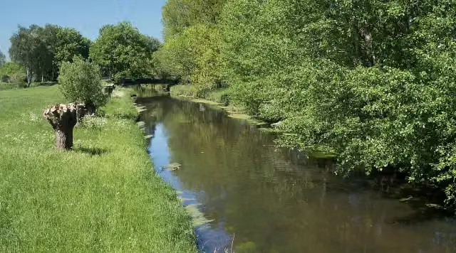 NiersmündungAttraction · 7.4 km from the route
- 7
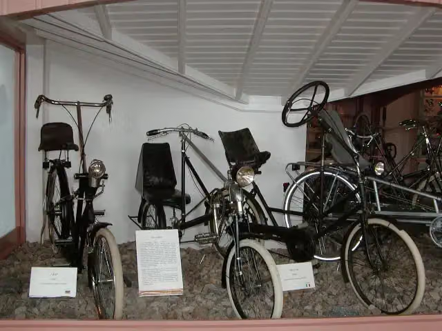 Nationaal Fietsmuseum VeloramaMuseum · 7.7 km from the route
- 8
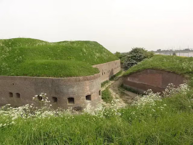 Fort PannerdenAttraction · 4.8 km from the route
- 9
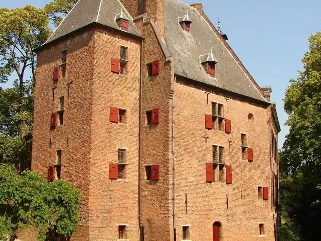 De KinkelenburgCastle · 9.1 km from the route
- 10
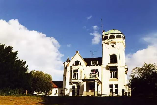 Jachtslot De MookerheideCastle · 6.8 km from the route
- 11
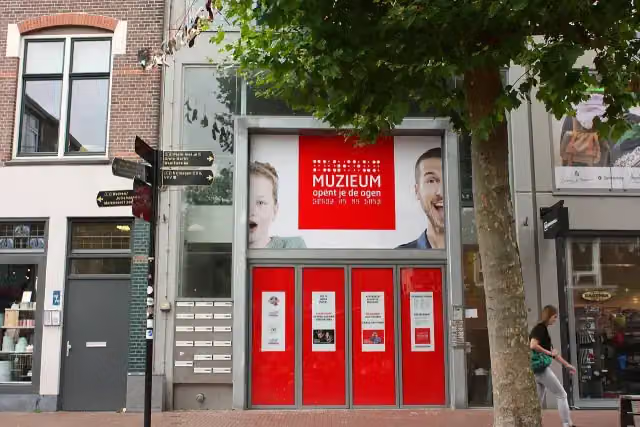 MuZIEumMuseum · 7.9 km from the route
- 12
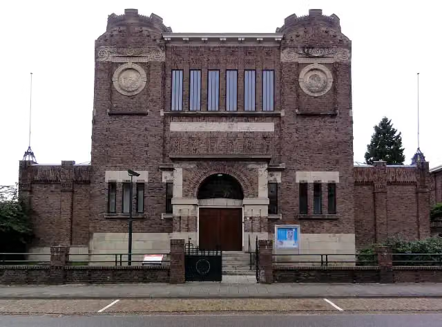 Museum KamMuseum · 6.9 km from the route
- 13
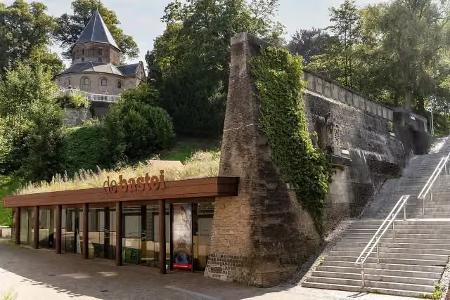 Museum De BasteiMuseum · 7.7 km from the route
- 14
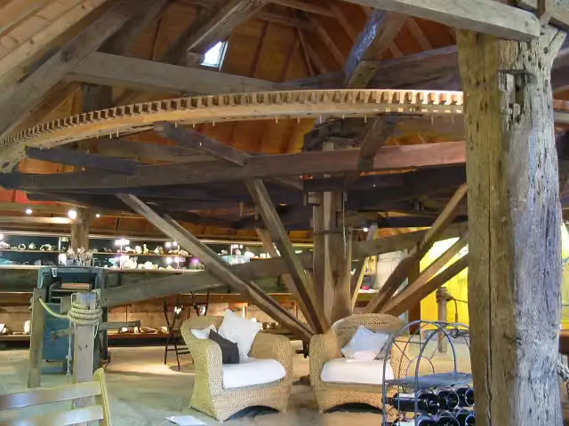 De RosmolenMuseum · 6.3 km from the route
- 15
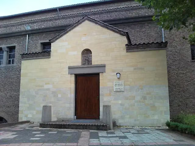 De CrypteMuseum · 5.6 km from the route
- 16
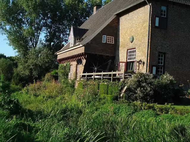 CamphuysenCastle · 5.9 km from the route
- 17
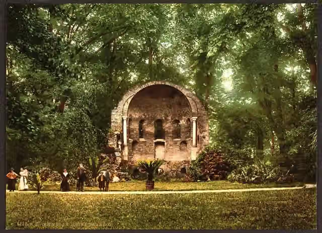 BarbarossakapelRuins · 7.6 km from the route
- 18
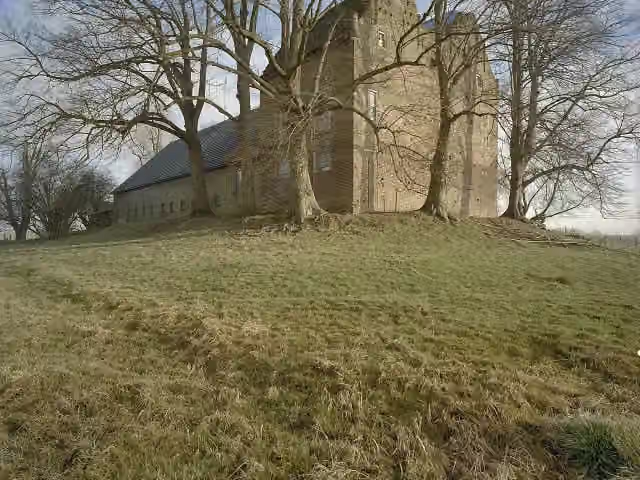 Huis LoowaardCastle · 9.8 km from the route
- 19
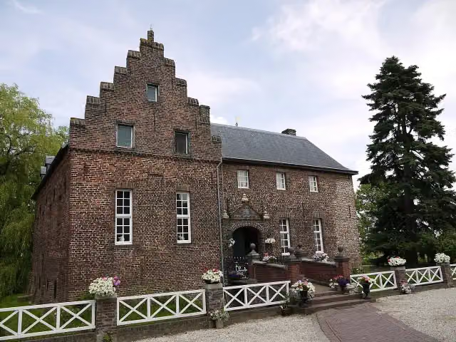 De BorggraafCastle · 4.8 km from the route
- 20
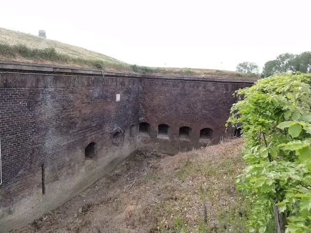 Fort Boven-LentAttraction · 7.9 km from the route
- 21
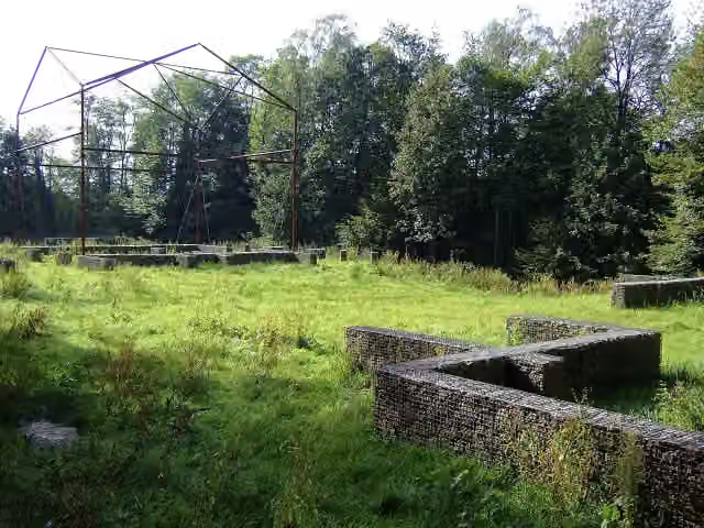 Romeinse villa PlasmolenArchaeological site · 7.5 km from the route
- 22
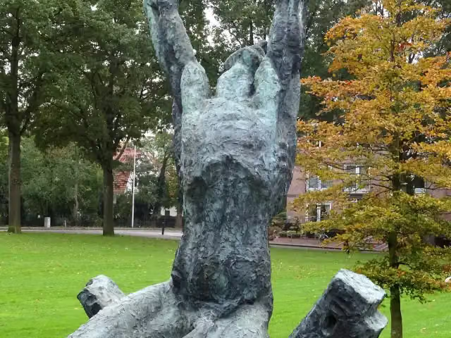 Waarom ik?Memorial · 9.1 km from the route
- 23
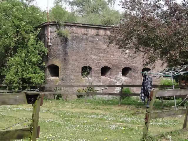 Fort Beneden LentFort · 9.4 km from the route
- 24
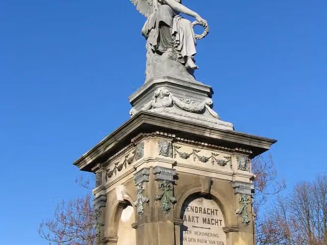 SpoorwegmonumentMemorial · 7.7 km from the route
- 25
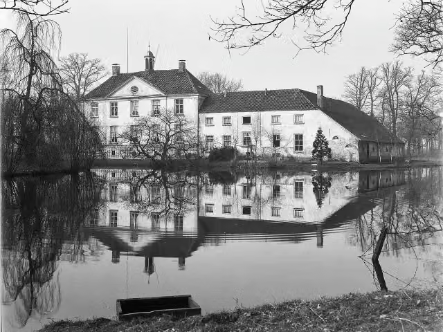 Huize BabberichCastle · 4.7 km from the route
Explore more
More cycle routes around Kerken
Frequently asked questions
How long is NiederRheinroute (Nord)?
NiederRheinroute (Nord) is 183.7 km long. Allow ± 12:15 h of riding: 15 km an hour, without breaks.
Is this route a circular ride?
No, the route starts and ends at different spots.
Where does this route start?
The route starts in Kerken.
How hard is this route?
Hard, with 317 m of climbing.
Are there toilets along this route?
Yes, there are 10 public toilets within 100 m of the route. The longest stretch without a toilet is 54.1 km.
Can you fill up with water along this route?
Yes, there are 10 water fountains and refill points within 100 m of the route.
What is there to see along this route?
Along the way you pass Burg Wachtendonk, Haus Ingenraedt and Steprather Mühle.
Can I download this route as a GPX file?
Yes. Sign in with your Outdoor Pitstop account and choose Download GPX at the top of this page: 10 routes a month for free, unlimited with Pro.
Starting point
More routes from this place
Route data © OpenStreetMap contributors





