 Outdoor Pitstop
Cycle route · Cologne · Updated on 14 November 2026
EuroVelo 15 - Rheinradweg - Teilstrecke Köln - Grenze Niederlande cycle route
EuroVelo 15 - Rheinradweg - Teilstrecke Köln - Grenze Niederlande is a cycle route of 192.3 km from Cologne. Along the way you'll find 786 benches, 3 water fountains and refill points, 17 public toilets, 2 bike pumps and 1 honesty box.
i
i
i
The route step by step
From start to finish, with what you pass along the way and the distance in between.
- 192.3 km
- ± 12:50 h
- ↑ 56 m · ↓ 82 m
- Hard
- From A to B
- International route
- Colour of the signs
Start in Cologne
0 km167 m

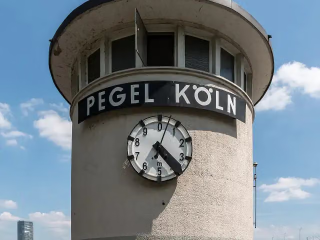
Pegel Köln
167 mPublic toilet
155 m
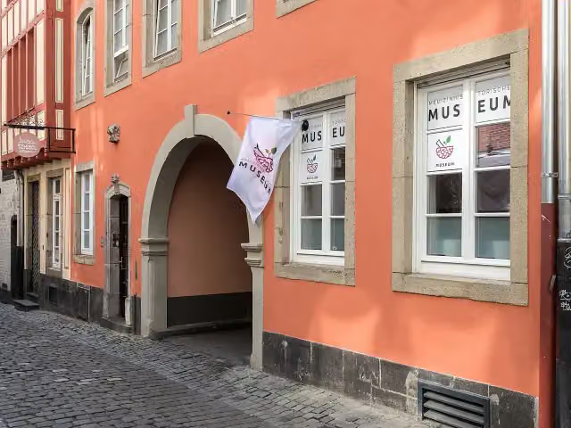
Cologne Museum of the History of Medicine
322 mPublic toilet
323 m · 3 benches
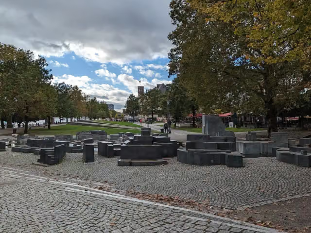
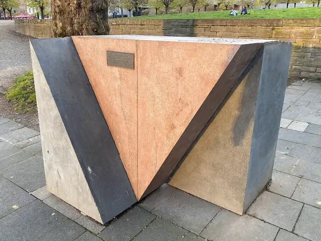
Mahnmal für die schwulen und lesbischen Opfer des Nationalsozialismus in Köln and 3 more
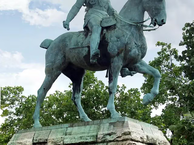
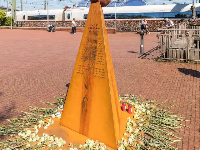
645 mEquestrian Statue of Kaiser Wilhelm II., Mahnmal für verfolgte Armenier and Reiterstandbild Kaiser Friedrich III.
6.3 km · 83 benches
Public toilet
7 km857 m · 6 benches
Public toilet
7.8 km7 km · 12 benches
Honesty box
14.9 km14.6 km · 44 benches
Public toilet
29.4 km17.8 km · 110 benches
Obertor and 3 more
47.2 kmClemens Sels Museum Neuss, Obertorkapelle and Windmühlenturm
301 m · 17 benches
Blutturm
47.5 kmPublic toilet
834 m · 39 benches
Public toilet
48.4 km500 m · 11 benches
Marienborn
48.9 kmMemorial
7.9 km · 100 benches
Rheinkirmes Entrance North
56.8 kmAttraction
2.9 km · 14 benches
Public toilet
59.7 km232 m
Public toilet
59.9 km15.1 km · 41 benches
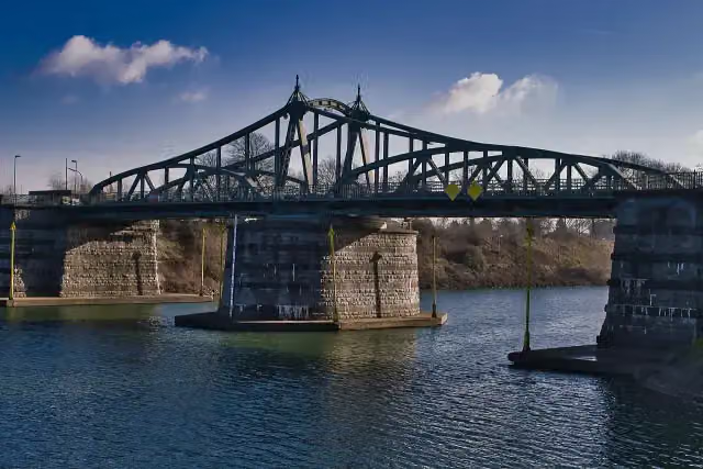
historic pivot bridge
75 kmAttraction
1.6 km · 3 benches
Mariensäule and 1 more
76.6 kmUerdinger Burg
587 m · 14 benches
Water point
77.2 km5.1 km · 14 benches
Heimat- und Schulmuseum "Lehrerhaus"
82.3 kmMuseum
3 km · 9 benches
Public toilet
85.3 km27.9 km · 104 benches
Water point and bike pump
113.2 km12.7 km · 10 benches
Fort Blücher
125.9 kmFort
12.5 km · 25 benches
Public toilet and bike pump
138.4 km405 m · 12 benches
Kriemhildmühle
138.8 kmPublic toilet
864 m · 21 benches
Public toilet
139.6 km1.7 km · 9 benches
Public toilet
141.4 km3 km · 5 benches
Public toilet
144.3 km969 m · 9 benches
Public toilet
145.3 km14.2 km · 19 benches
Kalkarer Mühle
159.5 kmAttraction
165 m · 2 benches
Städtisches Museum
159.7 kmPublic toilet and water point
Show the other 4 steps
883 m · 17 benches
Mühlenstumpf
160.5 kmRuins
4.8 km
Haus Kemnade
165.3 kmCastle
16.8 km · 4 benches
Haus Koekkoek
182.1 kmMuseum
10.2 km · 27 benches
Finish
192.3 km
Longest stretch without a toilet: 53.1 kmBetween 85.3 km and 138.4 km there is no public toilet within 100 m of the route.
The route with the pitstops and sights within 100 m of it.
24 sights along the way
In the order you pass them. With the Outdoor Pitstop app you hear their story on the spot. 16 more along the route are on the map.
i
Photo: Dietmar Rabich · Wikimedia Commons · CC BY-SA 4.0View the photo on Wikimedia CommonsAttraction · after 200 m
i
Photo: Raimond Spekking · Wikimedia Commons · CC BY-SA 4.0View the photo on Wikimedia CommonsMuseum · after 322 m
i
Photo: -wuppertaler · Wikimedia Commons · CC BY 4.0View the photo on Wikimedia CommonsMemorial · after 645 m
i
Photo: Raimond Spekking · Wikimedia Commons · CC BY-SA 4.0View the photo on Wikimedia CommonsMemorial · after 664 m
i
Photo: Raimond Spekking · Wikimedia Commons · CC BY-SA 4.0View the photo on Wikimedia CommonsMemorial · after 666 m
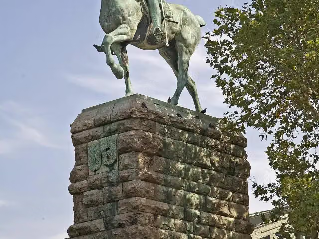
i
Photo: W. Bulach · Wikimedia Commons · CC BY-SA 4.0View the photo on Wikimedia CommonsMemorial · after 730 m
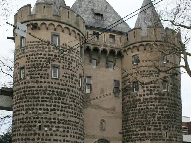
i
Photo: Käthe u. Bernd Limburg, www.limburg-bernd.de · Wikimedia Commons · CC BY-SA 3.0 deView the photo on Wikimedia CommonsAttraction · after 47.2 km
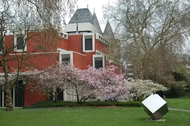
i
Photo: Rolf Cosar · Wikimedia Commons · CC BY 3.0View the photo on Wikimedia CommonsMuseum · after 47.2 km
Elevation and terrain
- Up
- ↑ 56 m
- Down
- ↓ 82 m
- Highest point
- 52 m
- Lowest point
- 14 m
Nowhere steeper than 5%.
Elevation from Copernicus GLO-30 (European Union and ESA), smoothed.
produced using Copernicus WorldDEM-30 © DLR e.V. 2010-2014 and © Airbus Defence and Space GmbH 2014-2018 provided under COPERNICUS by the European Union and ESA; all rights reserved
Way types
192.3 km in total- Path: 96.8 km
- Street: 27.2 km
- Road: 22.6 km
- Track: 17.6 km
- Cycle path: 9.4 km
- Footpath (walk your bike): 7.1 km
- Busy road: 6.5 km
- Unknown: 4.8 km
Surfaces
192.3 km in total- Asphalt: 131.1 km
- Paved: 43 km
- Gravel: 14.7 km
- Unknown: 3.1 km
About the cycle route EuroVelo 15 - Rheinradweg - Teilstrecke Köln - Grenze Niederlande
Updated on 14 November 2026, with data from OpenStreetMap, the AHN and Copernicus.
Where do you cycle?
EuroVelo 15 - Rheinradweg - Teilstrecke Köln - Grenze Niederlande is a cycle route of 192.3 km that starts in Cologne. It does not end where it starts. Along the way you pass Pegel Köln (after 200 m), Cologne Museum of the History of Medicine (after 322 m) and Mahnmal für die schwulen und lesbischen Opfer des Nationalsozialismus in Köln (after 645 m).
How hard is the route?
You climb 56 m in total and descend 82 m. Allow ± 12:50 h, without breaks. The level is hard.
What roads do you cycle on?
The longest part is path (96.8 km), street (27.2 km) and road (22.6 km). Of the surface, 131.1 km asphalt and 43 km paved. For 3.1 km the surface is not known.
Pitstops along the way
Within 100 metres of the route there are 786 benches, 3 water fountains and refill points, 17 public toilets, 2 bike pumps and 1 honesty box. You can fill your bottle after 77.2 km, after 113.2 km and after 159.7 km. The longest stretch without a toilet is 53.1 km. The Outdoor Pitstop app navigates you there.
Part of EuroVelo 15 - Rhine Route - part Germany
Website of the routeCycle routes nearby
6- R17 [NRW]Easy · From A to B28.9 km
- Deutsche Fußball Route NRW (West)Hard · From A to B257.7 km
- Erlebnisweg Rheinschiene (West (Süd))Hard · From A to B102.3 km
- EuroVelo 15 - Rheinradweg - Teilstrecke Bingen - KölnHard · From A to B171.6 km
- EuroVelo 15 - Rheinradweg - Verbindung Köln Deutzer BrückeEasy · From A to B1.1 km
- Erlebnisweg Rheinschiene - Verbindung Köln Deutzer BrückeEasy · From A to B1.1 km
Sights nearby
Within 10 km of the route, best known first.
- 1
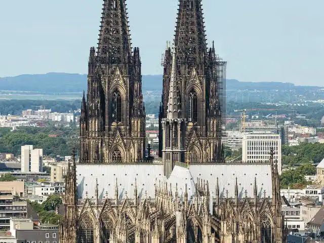 Cologne CathedralAttraction · 345 m from the route
- 2
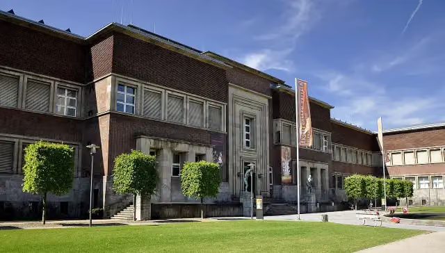 Museum KunstpalastMuseum · 742 m from the route
- 3
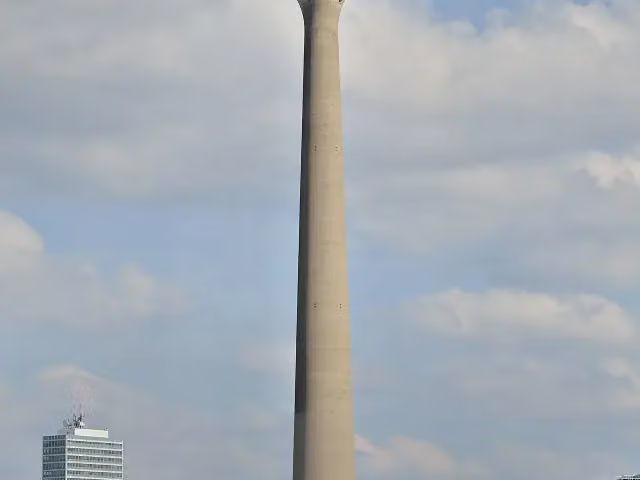 Rhine TowerViewpoint · 930 m from the route
- 4
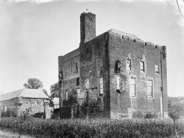 Kasteel DoornenburgAttraction · 5.6 km from the route
- 5
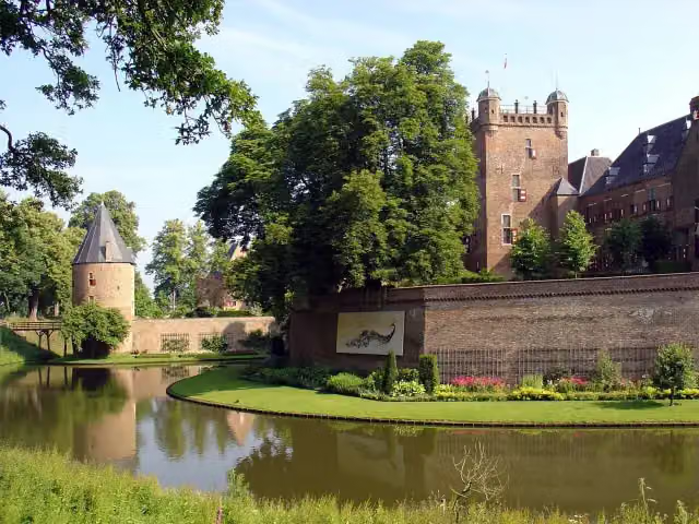 Kasteel Huis BerghCastle · 5.9 km from the route
- 6
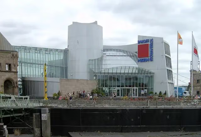 Chocolate MuseumMuseum · 362 m from the route
- 7
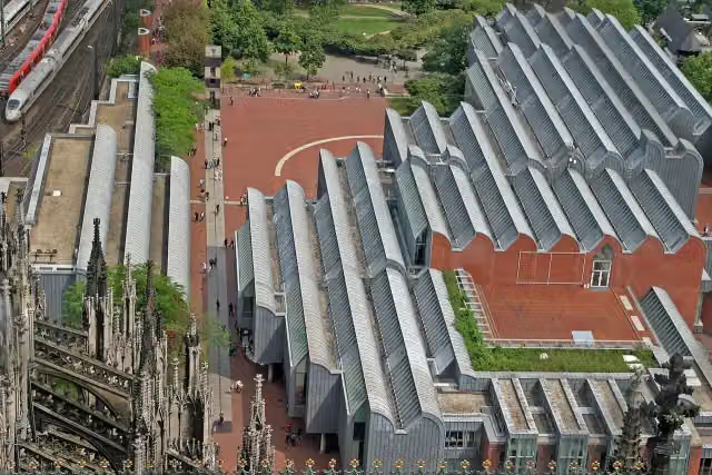 Museum LudwigMuseum · 212 m from the route
- 8
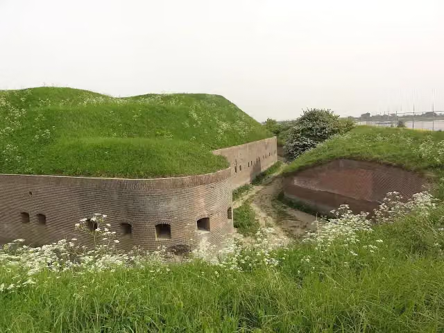 Fort PannerdenAttraction · 3.3 km from the route
- 9
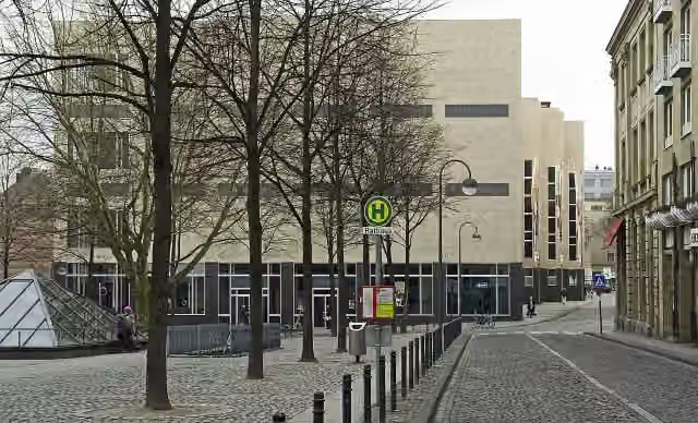 Wallraf-Richartz-Museum & Fondation CorboudMuseum · 344 m from the route
- 10
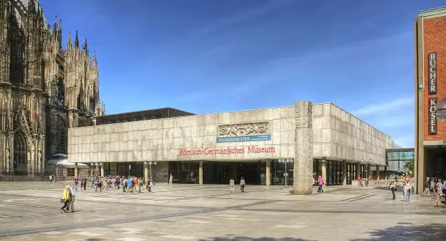 Romano-Germanic MuseumMuseum · 291 m from the route
- 11
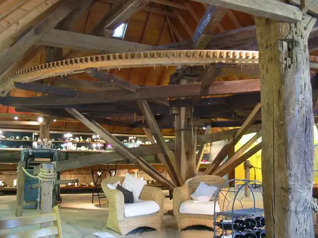 De RosmolenMuseum · 9.2 km from the route
- 12
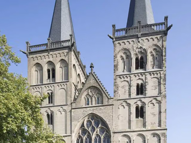 Xanten CathedralAttraction · 113 m from the route
- 13
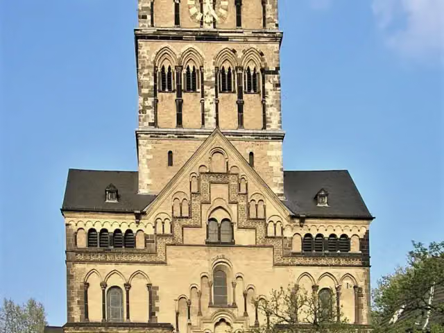 Quirinus-MünsterAttraction · 329 m from the route
- 14
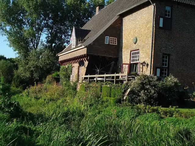 CamphuysenCastle · 6 km from the route
- 15
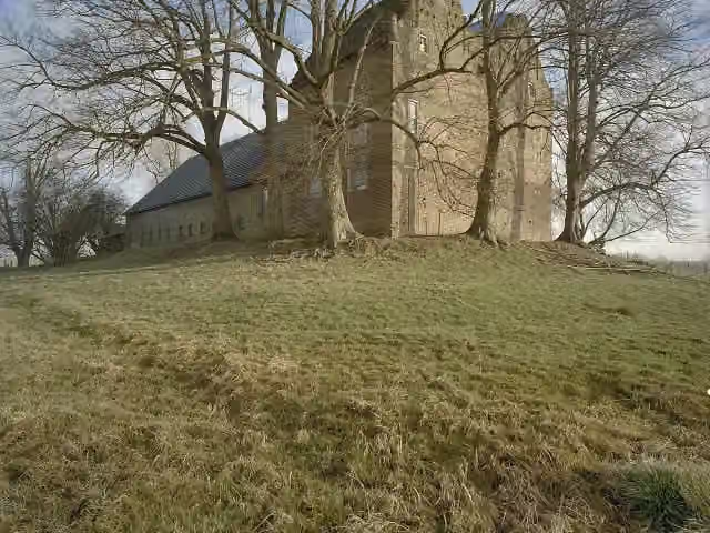 Huis LoowaardCastle · 8.5 km from the route
- 16
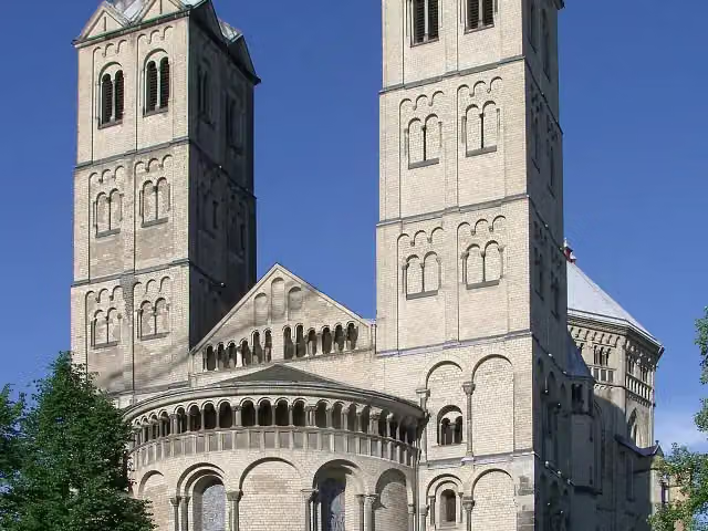 St. Gereon's BasilicaAttraction · 1.2 km from the route
- 17
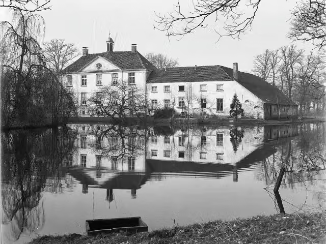 Huize BabberichCastle · 6.3 km from the route
- 18
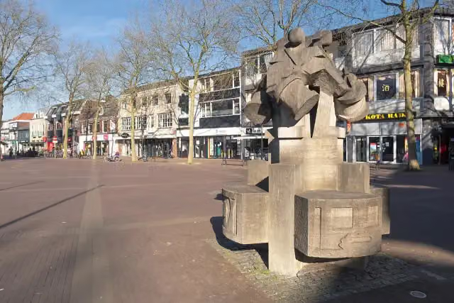 De Vier TamboersMemorial · 7.6 km from the route
- 19
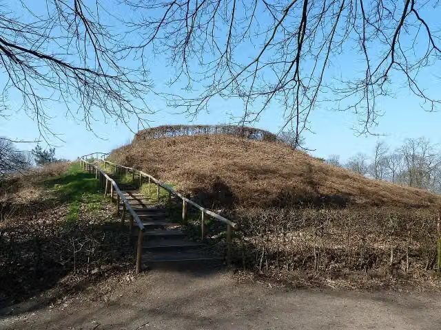 MergelpArchaeological site · 9.1 km from the route
- 20
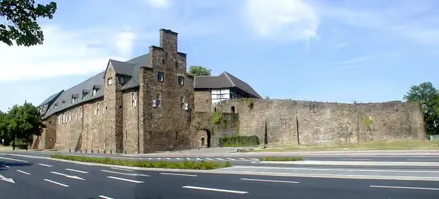 Broich CastleAttraction · 9.7 km from the route
- 21
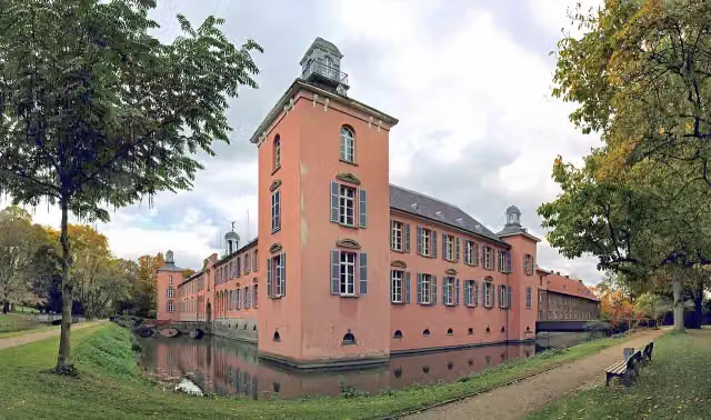 Schloss KalkumCastle · 2.3 km from the route
- 22
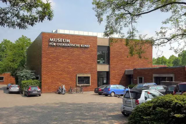 Museum für Ostasiatische KunstMuseum · 2.6 km from the route
- 23
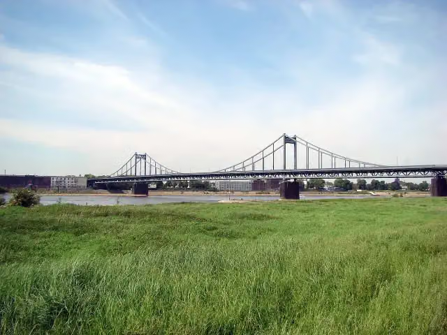 Krefeld-Uerdinger BrückeAttraction · 273 m from the route
- 24
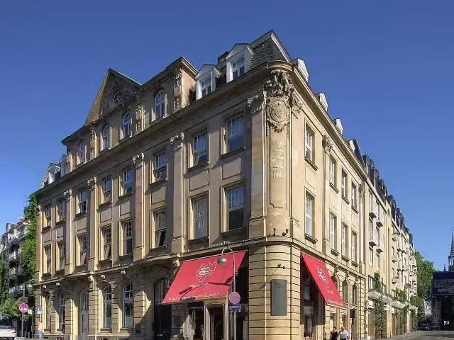 Duftmuseum im Farina-HausMuseum · 374 m from the route
- 25
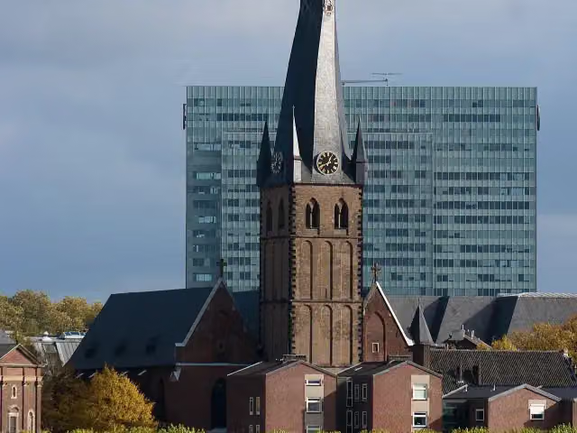 St. LambertusAttraction · 638 m from the route
Explore more
More cycle routes around Cologne
Frequently asked questions
How long is EuroVelo 15 - Rheinradweg - Teilstrecke Köln - Grenze Niederlande?
EuroVelo 15 - Rheinradweg - Teilstrecke Köln - Grenze Niederlande is 192.3 km long. Allow ± 12:50 h of riding: 15 km an hour, without breaks.
Is this route a circular ride?
No, the route starts and ends at different spots.
Where does this route start?
The route starts in Cologne.
How hard is this route?
Hard, with 56 m of climbing.
Are there toilets along this route?
Yes, there are 17 public toilets within 100 m of the route. The longest stretch without a toilet is 53.1 km.
Can you fill up with water along this route?
Yes, there are 3 water fountains and refill points within 100 m of the route.
What is there to see along this route?
Along the way you pass Pegel Köln, Cologne Museum of the History of Medicine and Mahnmal für die schwulen und lesbischen Opfer des Nationalsozialismus in Köln.
Can I download this route as a GPX file?
Yes. Sign in with your Outdoor Pitstop account and choose Download GPX at the top of this page: 10 routes a month for free, unlimited with Pro.
Starting point
More routes from this place
Route data © OpenStreetMap contributors





