 Outdoor Pitstop
Cycle route · Ingelheim am Rhein · Updated on 14 November 2026
EuroVelo 15 - Rhine Route - part Germany cycle route
EuroVelo 15 - Rhine Route - part Germany is a cycle route of 1,457.1 km from Ingelheim am Rhein. Along the way you'll find 7,410 benches, 93 water fountains and refill points, 240 public toilets, 72 bike pumps and 3 honesty boxes and farm vending machines.
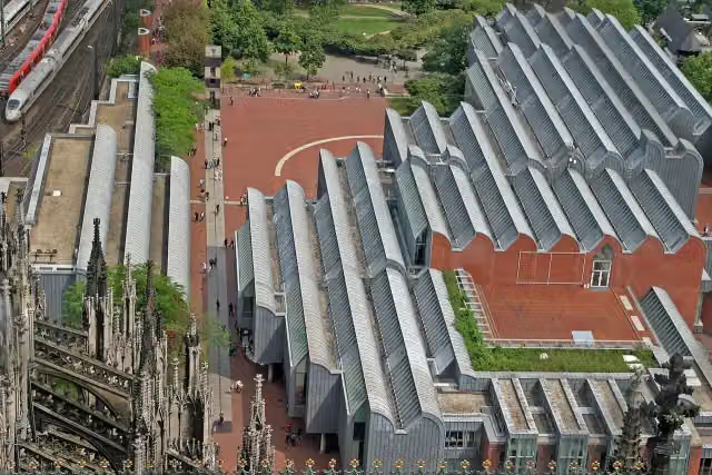
i
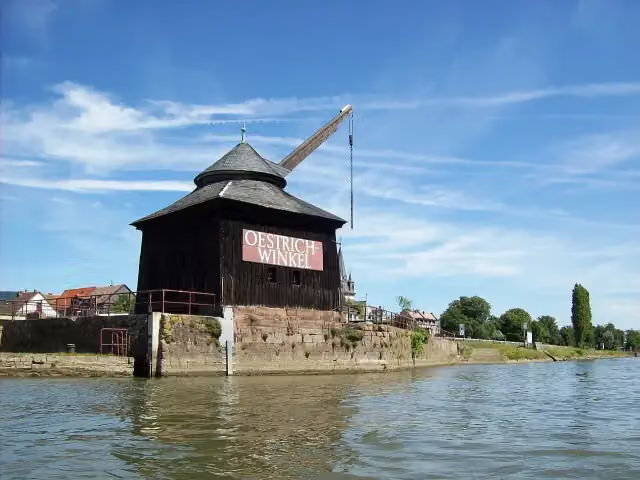
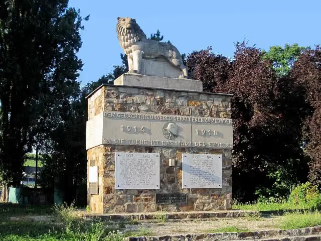
i
The route step by step
From start to finish, with what you pass along the way and the distance in between.
- 1,457.1 km
- ± 2:25 h per stage
- Moderate per stage
- From A to B
- International route
- Colour of the signs
Pick a stage to see the pitstops per kilometre. Along the way you'll find 7,410 benches, 93 water fountains and refill points, 240 public toilets, 72 bike pumps and 3 honesty boxes and farm vending machines.
Follow these steps in the appThe route with the water points, toilets and sights within 100 m of it.
160 sights along the way
In the order you pass them. With the Outdoor Pitstop app you hear their story on the spot. 152 more along the route are on the map.
Attraction
i
Photo: Marion Halft · Wikimedia Commons · CC BY-SA 3.0View the photo on Wikimedia CommonsMemorial
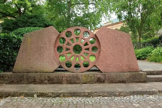
i
Photo: Marion Halft · Wikimedia Commons · CC BY-SA 4.0View the photo on Wikimedia CommonsAttraction
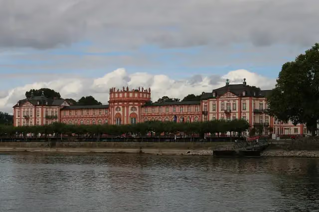 Audio story · 2 min
i
Photo: Oliver Abels · Wikimedia Commons · CC BY-SA 4.0View the photo on Wikimedia CommonsBiebrich Palace
Attraction
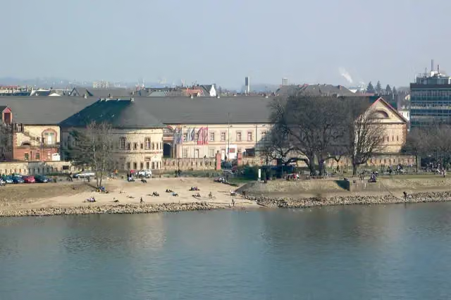
Fort
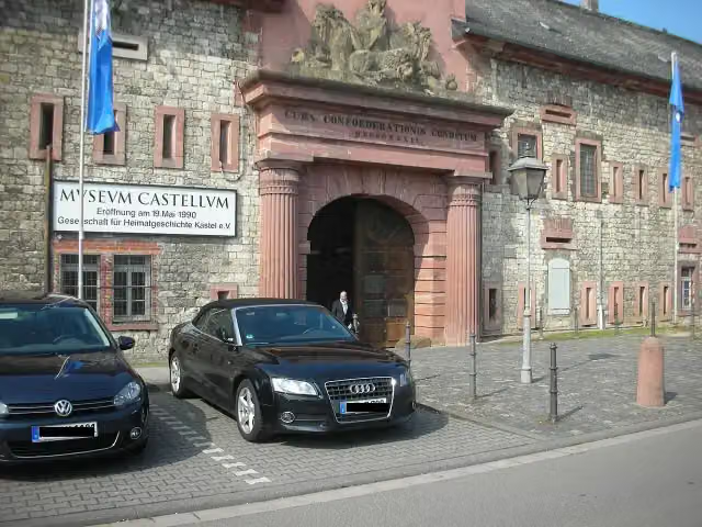
i
Photo: Straktur · Wikimedia Commons · CC BY-SA 3.0View the photo on Wikimedia CommonsMuseum
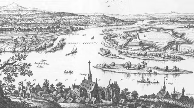
Castle
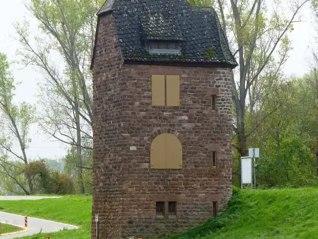
i
Photo: Muck · Wikimedia Commons · CC BY-SA 4.0View the photo on Wikimedia CommonsObservation tower
Stages (40)
- 1EuroVelo 15 - Rheinradweg - Teilstrecke Basel - Karlsruhe247.8 km
- 2EuroVelo 15 - Rheinradweg - Ingelheim–Grenze Rhein-Neckar-Kreis/Landkreis Karlsruhe158.9 km
- 3EuroVelo 15 - Rheinradweg - Landkreis Karlsruhe26.5 km
- 4EuroVelo 15 - Rheinradweg - Teilstrecke Grenze Frankreich - Bingen211.5 km
- 5EuroVelo 15 - Rheinradweg - Teilstrecke Bingen - Köln171.6 km
- 6EuroVelo 15 - Rheinradweg - Teilstrecke Köln - Grenze Niederlande192.3 km
- 7EuroVelo 15 - Rheinradweg - Teilstrecke Konstanz - Stein am Rhein43.9 km
- 8EuroVelo 15 - Rheinradweg - Teilstrecke Schaffhausen - Basel101.4 km
- 9EuroVelo 15 - Rheinradweg - Teilstrecke Kamp-Bornhofen - Köln130.6 km
- 10EuroVelo 15 - Rheinradweg - Teilstrecke Köln - Moers101.8 km
- 11EuroVelo 15 - Rheinradweg - Verbindung Karlsruhe Rheinbrücke1.3 km
- 12EuroVelo 15 - Rheinradweg - Verbindung Kollerfähre5.1 km
- 13EuroVelo 15 - Rheinradweg - Verbindung Fähre Bad Honnef440 m
- 14EuroVelo 15 - Rheinradweg - Verbindung Rheinfähre Königswinter437 m
- 15EuroVelo 15 - Rheinradweg - Verbindung Autoschnellfähre Bad Godesberg-Niederdollendorf525 m
- 16EuroVelo 15 - Rheinradweg - Verbindung Bonn Konrad-Adenauer-Brücke3.9 km
- 17EuroVelo 15 - Rheinradweg - Verbindung Bonn Kennedybrücke2.4 km
- 18EuroVelo 15 - Rheinradweg - Verbindung Bonn Friedrich-Ebert-Brücke881 m
- 19EuroVelo 15 - Rheinradweg - Verbindung Autofähre Mondorf-Graurheindorf553 m
- 20EuroVelo 15 - Rheinradweg - Verbindung Personenfähre Lülsdorf-Wesseling644 m
- 21EuroVelo 15 - Rheinradweg - Verbindung Köln Südbrücke674 m
- 22EuroVelo 15 - Rheinradweg - Verbindung Köln Rodenkirchener Brücke1.3 km
- 23EuroVelo 15 - Rheinradweg - Verbindung Rheinfähre Düsseldorf-Kaiserswerth-Langst867 m
- 24EuroVelo 15 - Rheinradweg - Verbindung Düsseldorf Theodor-Heuss-Brücke1.1 km
- 25EuroVelo 15 - Rheinradweg - Verbindung Düsseldorf Josef-Kardinal-Frings-Brücke1.9 km
- 26EuroVelo 15 - Rheinradweg - Verbindung Rheinfähre Zons-Urdenbach672 m
- 27EuroVelo 15 - Rheinradweg - Verbindung Rheinfähre Köln-Langel-Hitdorf691 m
- 28EuroVelo 15 - Rheinradweg - Verbindung Köln Hohenzollernbrücke1.6 km
- 29EuroVelo 15 - Rheinradweg - Verbindung Köln Deutzer Brücke1.1 km
- 30EuroVelo 15 - Rheinradweg - Verbindung Köln Mülheimer Brücke4 km
- 31EuroVelo 15 - Rheinradweg - Verbindung Köln Zoobrücke852 m
- 32EuroVelo 15 - Rheinradweg - Verbindung Leverkusen Rheinbrücke3.3 km
- 33EuroVelo 15 - Rheinradweg - Verbindung Düsseldorf Fleher Brücke3.2 km
- 34EuroVelo 15 - Rheinradweg - Variante Tuniberg12.1 km
- 35EuroVelo 15 - Rheinradweg - Variante Burkheim4.8 km
- 36EuroVelo 15 - Rheinradweg - Variante Sasbach3.1 km
- 37EuroVelo 15 - Rheinradweg - Variante Rheinwald4.1 km
- 38EuroVelo 15 - Rheinradweg - Variante Rheinhausen2.5 km
- 39EuroVelo 15 - Rheinradweg - Variante Neuss Hafen5.6 km
- 40EuroVelo 15 - Rheinradweg - Verbindung Duisburg Friedrich-Ebert-Brücke1.1 km
Elevation and terrain
Way types
1,457.1 km in total- Path: 460.9 km
- Track: 287.8 km
- Street: 225.1 km
- Road: 103.7 km
- Cycle path: 44.6 km
- Busy road: 38.3 km
- Footpath (walk your bike): 34.4 km
- Steps (carry your bike): 2 stairs
- Unknown: 11.5 km
Surfaces
1,457.1 km in total- Asphalt: 890.3 km
- Paved: 205.2 km
- Gravel: 84.8 km
- Unpaved: 4 km
- Unknown: 22 km
About the cycle route EuroVelo 15 - Rhine Route - part Germany
Updated on 14 November 2026, with data from OpenStreetMap, the AHN and Copernicus.
Where do you cycle?
EuroVelo 15 - Rhine Route - part Germany is a cycle route of 1,457.1 km that starts in Ingelheim am Rhein. It does not end where it starts.
How hard is the route?
There are 2 flights of steps along the way. Allow ± 2:25 h per stage, without breaks. Per stage the level is moderate.
What roads do you cycle on?
The longest part is path (460.9 km), track (287.8 km) and street (225.1 km). Of the surface, 890.3 km asphalt and 205.2 km paved. For 22 km the surface is not known.
Pitstops along the way
Within 100 metres of the route there are 7,410 benches, 93 water fountains and refill points, 240 public toilets, 72 bike pumps and 3 honesty boxes and farm vending machines. The Outdoor Pitstop app navigates you there.
Part of EuroVelo 15 - Rheinradweg
Website of the routeCycle routes nearby
6- Rhein-Route D8 [Rheinland-Pfalz]Hard · From A to B325.2 km
- Saar-Mosel-Main [Koblenz - Mainz]Hard · From A to B100.9 km
- EV4 Germany, Koblenz - FrankfurtHard · From A to B136.5 km
- Rheinland-Pfalz Radroute (Landkreis Mainz-Bingen)Hard · From A to B80.6 km
- Hiwwel-Route (Teilstrecke Bingen-Mainz)Moderate · From A to B42.8 km
- SelztalradwegHard · From A to B65.5 km
Sights nearby
Within 10 km of the route, best known first.
- 1
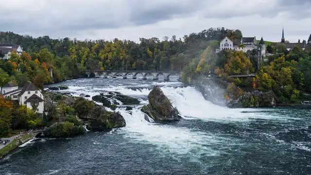 Rhine FallsAttraction · 637 m from the route
- 2
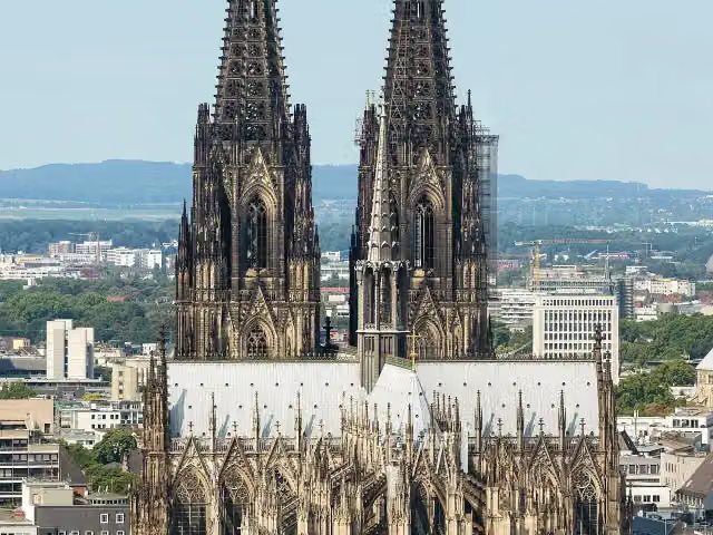 Cologne CathedralAttraction · 224 m from the route
- 3
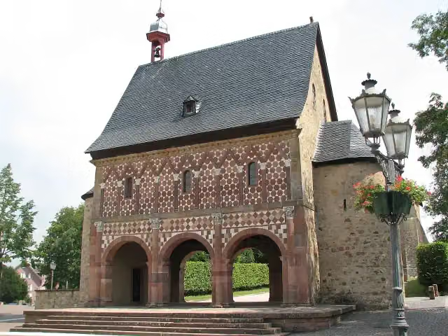 Lorsch AbbeyAttraction · 9.9 km from the route
- 4
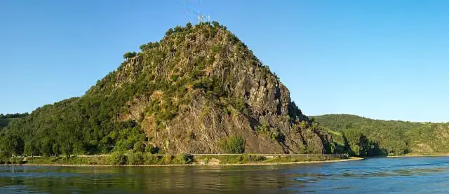 LoreleiAttraction · 255 m from the route
- 5
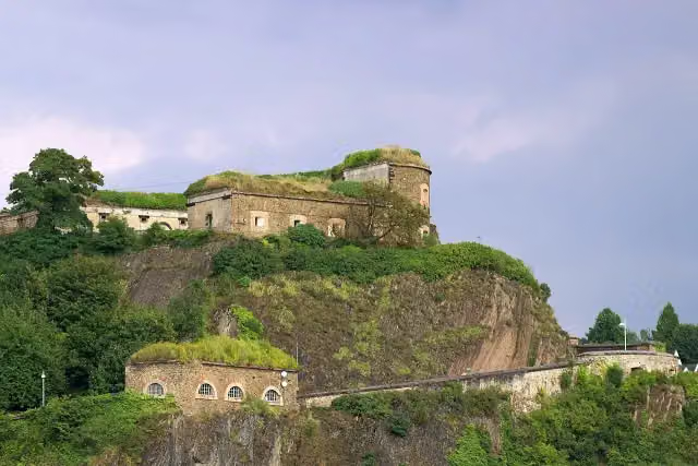 Ehrenbreitstein FortressCastle · 279 m from the route
- 6
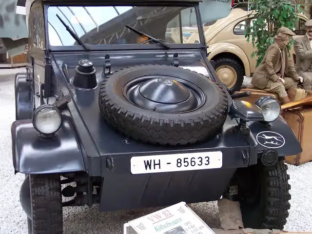 Technik Museum SpeyerMuseum · 220 m from the route
- 7
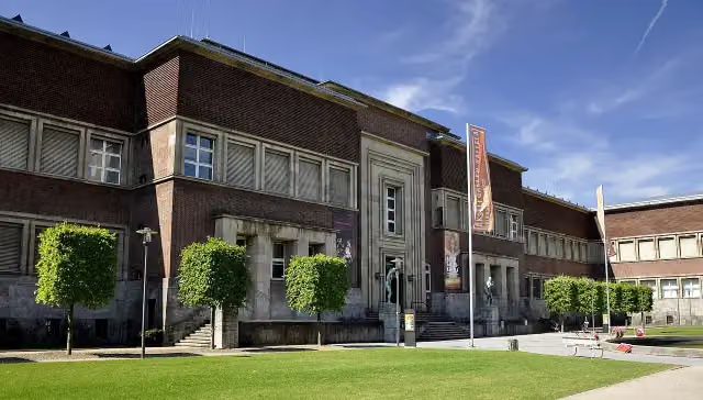 Museum KunstpalastMuseum · 111 m from the route
- 8
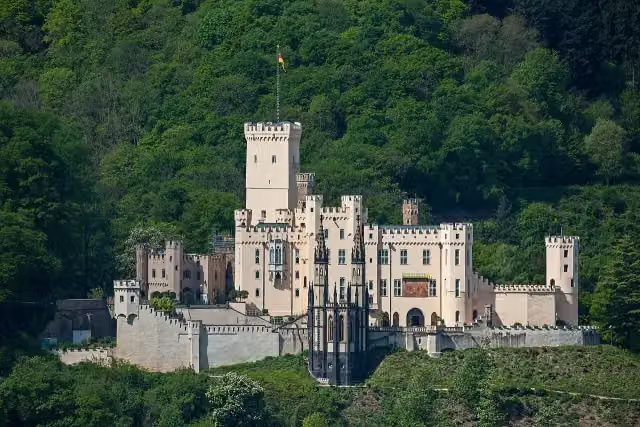 Schloss StolzenfelsCastle · 155 m from the route
- 9
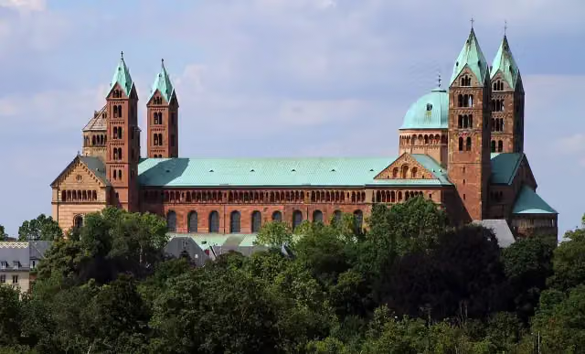 Dom zu SpeyerAttraction · 225 m from the route
- 10
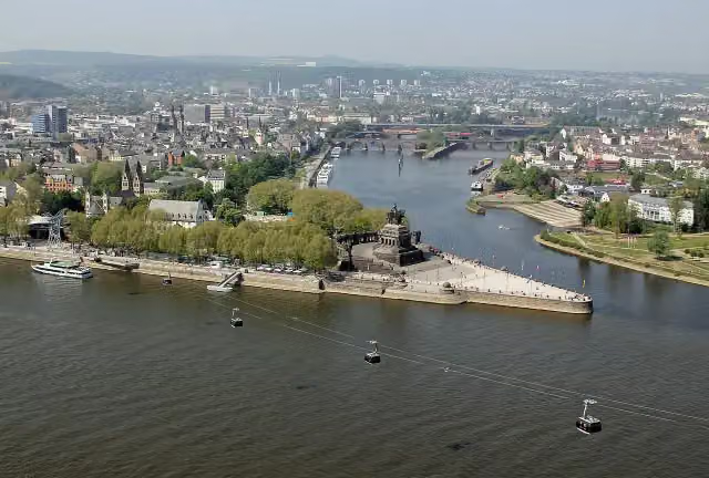 Deutsches EckViewpoint · 231 m from the route
- 11
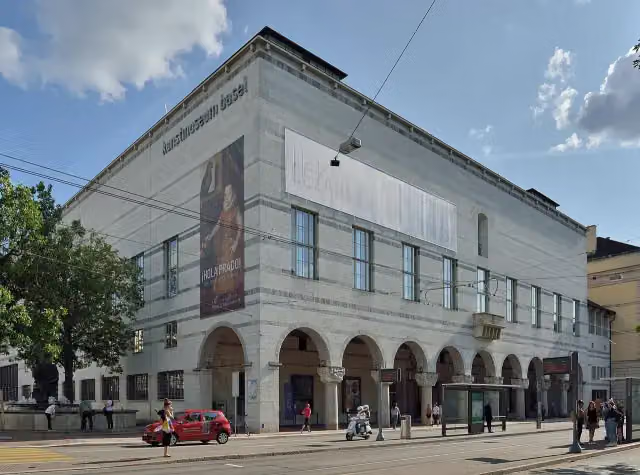 Kunstmuseum Basel | NeubauMuseum · 1.4 km from the route
- 12
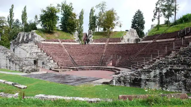 Augusta RauricaAttraction · 1.7 km from the route
- 13
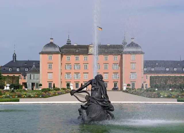 Schloss SchwetzingenCastle · 3.1 km from the route
- 14
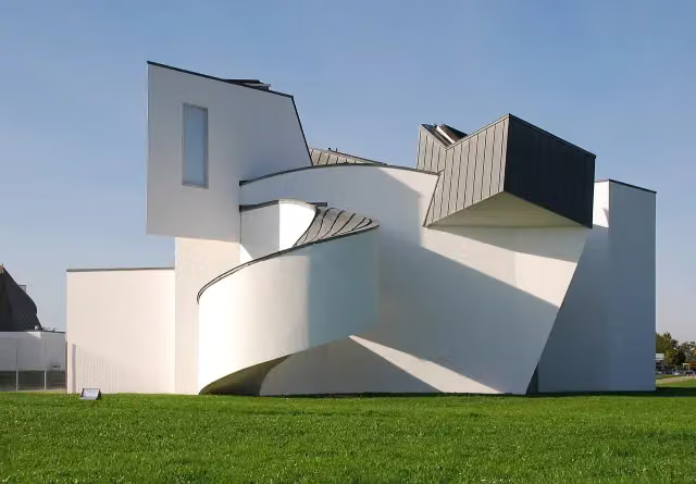 Vitra Design Museum, Frank Gehry (1989)Museum · 4.4 km from the route
- 15
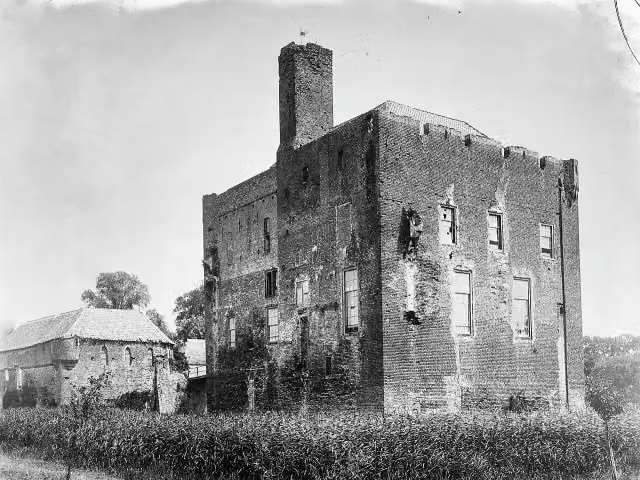 Kasteel DoornenburgAttraction · 5.6 km from the route
- 16
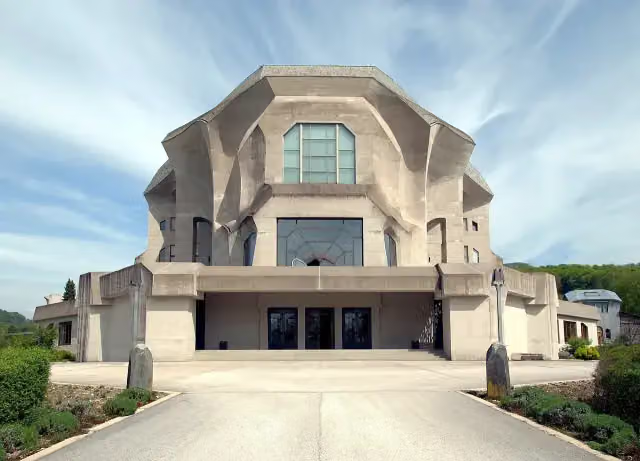 GoetheanumMonument · 7.7 km from the route
- 17
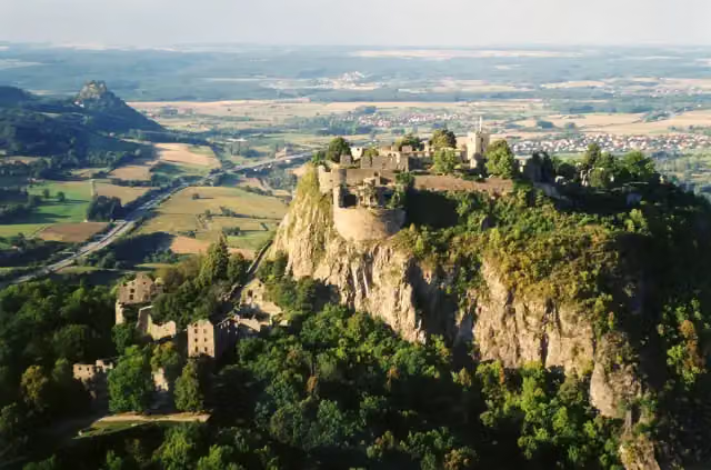 HohentwielViewpoint · 9.5 km from the route
- 18
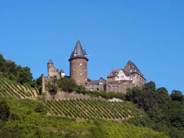 Burg StahleckCastle · 277 m from the route
- 19
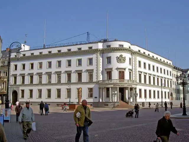 Stadtschloss WiesbadenCastle · 5 km from the route
- 20
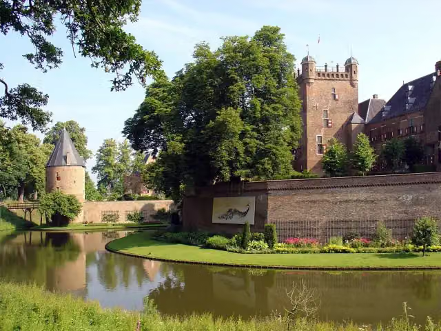 Kasteel Huis BerghCastle · 5.9 km from the route
- 21
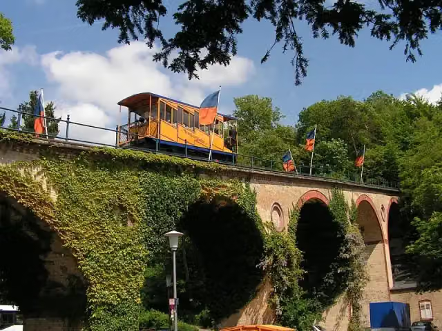 NerotalAttraction · 6 km from the route
- 22
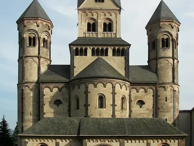 Benediktinerabtei Maria LaachAttraction · 9.6 km from the route
- 23
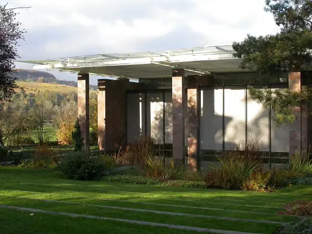 Fondation BeyelerMuseum · 3.1 km from the route
- 24
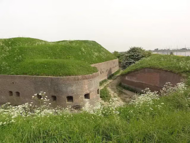 Fort PannerdenAttraction · 3.3 km from the route
- 25
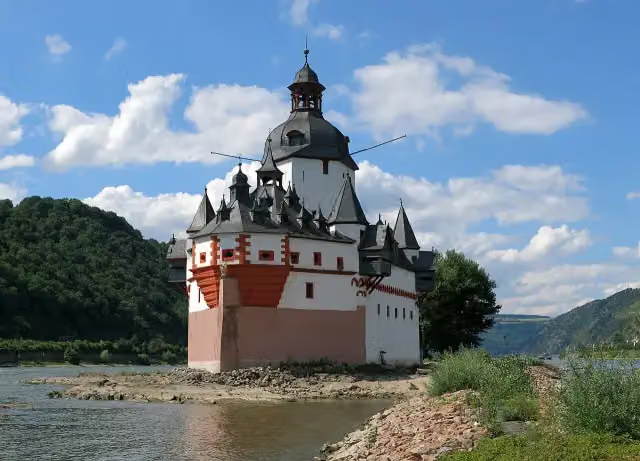 Pfalzgrafenstein CastleAttraction · 203 m from the route
Explore more
Frequently asked questions
How long is EuroVelo 15 - Rhine Route - part Germany?
EuroVelo 15 - Rhine Route - part Germany is 1,457.1 km long, in 40 parts of 36.4 km on average. Allow ± 2:25 h per part of riding: 15 km an hour, without breaks.
Is this route a circular ride?
No, the route starts and ends at different spots.
Where does this route start?
The route starts in Ingelheim am Rhein.
How hard is this route?
Moderate per stage.
Are there toilets along this route?
Yes, there are 240 public toilets within 100 m of the route.
Can you fill up with water along this route?
Yes, there are 93 water fountains and refill points within 100 m of the route.
What is there to see along this route?
Along the way you pass Oestricher Kran, Gefallenenehrenmal and Gedenkstätte Synagoge.
Can I download this route as a GPX file?
Yes. Sign in with your Outdoor Pitstop account and choose Download GPX at the top of this page: 10 routes a month for free, unlimited with Pro.
Starting point
More routes from this place
Route data © OpenStreetMap contributors





