 Outdoor Pitstop
Cycle route · Cologne · Updated on 14 November 2026
EuroVelo 15 - Rheinradweg - Teilstrecke Köln - Moers cycle route
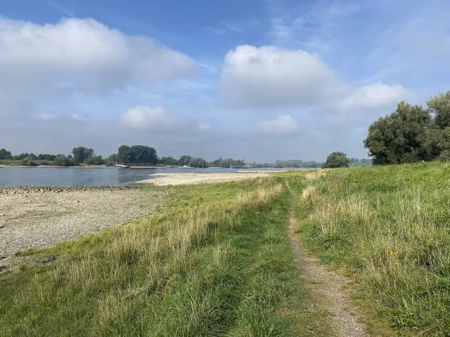
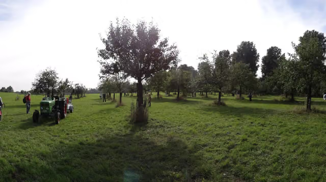
EuroVelo 15 - Rheinradweg - Teilstrecke Köln - Moers is a cycle route of 101.8 km from Cologne. Along the way you'll find 986 benches, 10 water fountains and refill points, 28 public toilets and 3 bike pumps.
i
i
i
The route step by step
From start to finish, with what you pass along the way and the distance in between.
- 101.8 km
- ± 6:45 h
- ↑ 82 m · ↓ 99 m
- Hard
- From A to B
- International route
- Colour of the signs
Start in Cologne
0 km157 m · 2 benches
Public toilet
157 m616 m · 76 benches

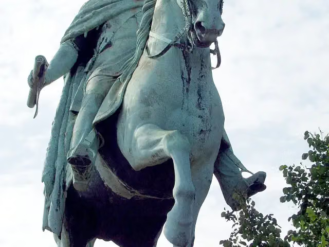
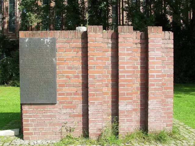
Reiterstandbild König Friedrich Wilhelm IV.
773 mPublic toilet
279 m · 9 benches
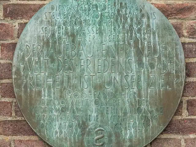
Gedenktafel KZ-Außenlager and 1 more
1.1 kmGedenken an NS-Messelager
240 m · 5 benches
Public toilet
1.3 km363 m · 10 benches
Public toilet
1.7 km928 m · 27 benches
Water point
2.6 km1.4 km · 16 benches
Public toilet
3.9 km2.4 km · 92 benches
Public toilet
6.3 km8.8 km · 83 benches
Public toilet
15.1 km6.8 km · 75 benches
Public toilet
21.9 km9 km · 65 benches
Public toilet, water point and bike pump
31 km6.1 km · 59 benches
Public toilet and water point
37.1 km9.1 km · 7 benches
Public toilet
46.1 km1.9 km
Water point
48 km6.3 km · 24 benches
Public toilet
54.3 km256 m · 3 benches
Water point
54.6 km244 m · 7 benches
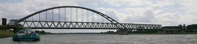
Alte Hammer Brücke
54.8 kmRuins
4 km · 51 benches
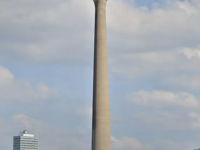
Rhine Tower
58.8 kmWater point
279 m · 10 benches
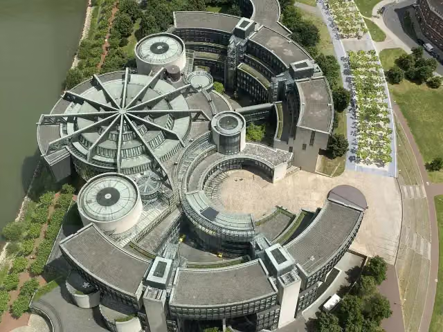
Landtagsgebäude Nordrhein-Westfalen
59 km3 public toilets
281 m · 19 benches
KIT - Kunst im Tunnel
59.3 kmBike pump
213 m · 5 benches
Stadtmuseum Düsseldorf
59.5 kmPublic toilet
336 m
Filmmuseum and 1 more
59.9 kmEhra oder Kind mit Ball and public toilet
154 m
Haus des Karnevals and 3 more
60 kmJan-Wellem-Denkmal, Altes Rathaus, Persiluhr, 4 public toilets and water point
153 m · bench
Schifffahrtsmuseum and 3 more
60.2 kmSchlossturm, Stadterhebungsmonument, St. Lambertus and public toilet
337 m · 2 benches
Public toilet
60.5 km358 m · 5 benches
NRW-Forum Düsseldorf
60.9 kmWater point
227 m · 31 benches
Glasmuseum Hentrich and 1 more
61.1 kmRheinterrasse
289 m · 11 benches
Public toilet
61.4 km340 m · 6 benches
Water point
61.7 km
Show the other 11 steps
1.1 km · 21 benches
Public toilet
62.8 km496 m
39er-Denkmal
63.3 kmMemorial
2.4 km · 8 benches
Water point
65.7 km5.7 km · 23 benches
Kaiserpfalz
71.5 kmPublic toilet
2.6 km · 17 benches
Schwarzbachmündung
74.1 kmAttraction
14.6 km · 83 benches
Bike pump
88.7 km3.5 km · 32 benches
Public toilet
92.2 km205 m · 8 benches
Public toilet
92.4 km2.7 km · 4 benches
Ruhrorter Tönnekesdrieter and 2 more
95.1 kmHaniel Museum and Schifferbörse
162 m
Museumsschiff "Oscar Huber"
95.3 kmMuseum
6.5 km · 85 benches
Finish
101.8 km
Longest stretch without a toilet: 20.6 kmBetween 71.6 km and 92.2 km there is no public toilet within 100 m of the route.
The route with the pitstops and sights within 100 m of it.
28 sights along the way
In the order you pass them. With the Outdoor Pitstop app you hear their story on the spot. 20 more along the route are on the map.
i
Photo: Raimond Spekking · Wikimedia Commons · CC BY-SA 4.0View the photo on Wikimedia CommonsMemorial · after 773 m
i
Photo: Raimond Spekking · Wikimedia Commons · CC BY-SA 4.0View the photo on Wikimedia CommonsMemorial · after 1.1 km
i
Photo: Raimond Spekking · Wikimedia Commons · CC BY-SA 4.0View the photo on Wikimedia CommonsMemorial · after 1.1 km
i
Photo: Johann H. Addicks · Wikimedia Commons · CC BY-SA 3.0View the photo on Wikimedia CommonsRuins · after 54.8 km
- Audio story · 2 min
i
Photo: Taxiarchos228 · Wikimedia Commons · FALView the photo on Wikimedia CommonsRhine Tower
Viewpoint · after 58.9 km
i
Photo: Островский Александр, Киев · Wikimedia Commons · CC BY-SA 3.0View the photo on Wikimedia CommonsAttraction · after 59 km
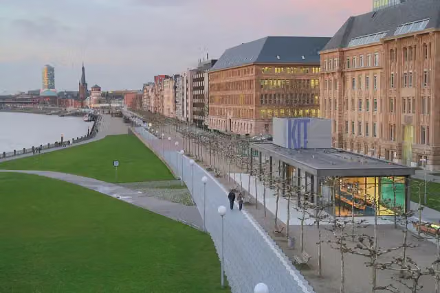
i
Photo: Till Niermann · Wikimedia Commons · CC BY 3.0View the photo on Wikimedia CommonsMuseum · after 59.3 km
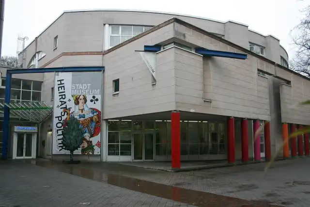
i
Photo: BlackIceNRW · Wikimedia Commons · CC BY-SA 3.0View the photo on Wikimedia CommonsMuseum · after 59.7 km
Elevation and terrain
- Up
- ↑ 82 m
- Down
- ↓ 99 m
- Highest point
- 52 m
- Lowest point
- 24 m
Nowhere steeper than 5%.
Elevation from Copernicus GLO-30 (European Union and ESA), smoothed.
produced using Copernicus WorldDEM-30 © DLR e.V. 2010-2014 and © Airbus Defence and Space GmbH 2014-2018 provided under COPERNICUS by the European Union and ESA; all rights reserved
Way types
101.8 km in total- Path: 52.6 km
- Street: 25.3 km
- Road: 10.7 km
- Footpath (walk your bike): 4.7 km
- Track: 4.6 km
- Cycle path: 3.3 km
- Busy road: 25 m
- Unknown: 300 m
Surfaces
101.8 km in total- Asphalt: 66 km
- Paved: 19.7 km
- Gravel: 15.1 km
- Unpaved: 25 m
- Unknown: 650 m
About the cycle route EuroVelo 15 - Rheinradweg - Teilstrecke Köln - Moers
Updated on 14 November 2026, with data from OpenStreetMap, the AHN and Copernicus.
Where do you cycle?
EuroVelo 15 - Rheinradweg - Teilstrecke Köln - Moers is a cycle route of 101.8 km that starts in Cologne. It does not end where it starts. Along the way you pass Reiterstandbild König Friedrich Wilhelm IV. (after 773 m), Gedenktafel KZ-Außenlager (after 1.1 km) and Gedenken an NS-Messelager (after 1.1 km).
How hard is the route?
You climb 82 m in total and descend 99 m. Allow ± 6:45 h, without breaks. The level is hard.
What roads do you cycle on?
The longest part is path (52.6 km), street (25.3 km) and road (10.7 km). Of the surface, 66 km asphalt and 19.7 km paved. For 650 m the surface is not known.
Pitstops along the way
Within 100 metres of the route there are 986 benches, 10 water fountains and refill points, 28 public toilets and 3 bike pumps. The longest stretch without a toilet is 20.6 km. The Outdoor Pitstop app navigates you there.
Part of EuroVelo 15 - Rhine Route - part Germany
Website of the routeCycle routes nearby
6- R19 [NRW]Easy · From A to B14.7 km
- Erlebnisweg Rheinschiene (Ost (Süd))Hard · From A to B115.3 km
- Pilgerroute NRWHard · From A to B492.7 km
- Rhein-Route D8 [NRW]Hard · From A to B235.1 km
- EuroVelo 3 - Pilgrim's Route - part Germany RheinradwegHard · From A to B166.9 km
- EV4 Germany, Köln - KoblenzHard · From A to B107.5 km
Sights nearby
Within 10 km of the route, best known first.
- 1
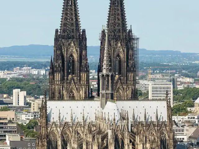 Cologne CathedralAttraction · 738 m from the route
- 2
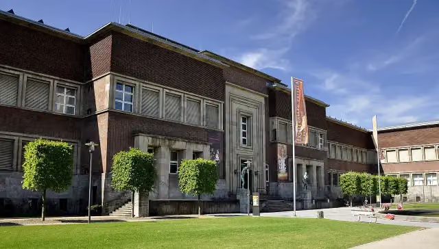 Museum KunstpalastMuseum · 111 m from the route
- 3
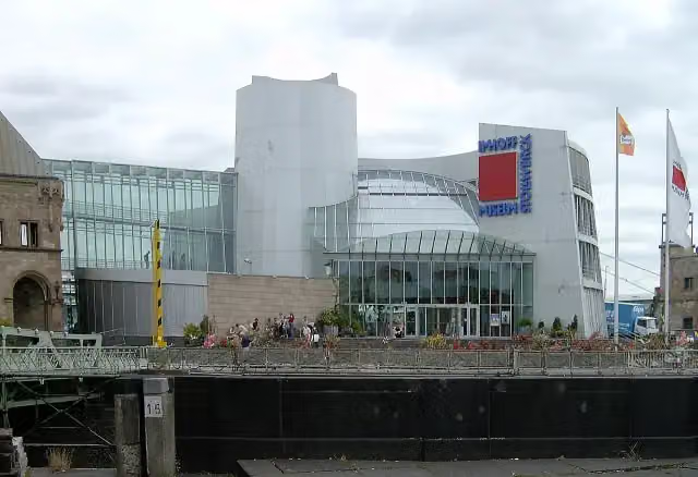 Chocolate MuseumMuseum · 572 m from the route
- 4
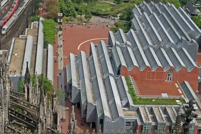 Museum LudwigMuseum · 600 m from the route
- 5
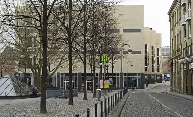 Wallraf-Richartz-Museum & Fondation CorboudMuseum · 702 m from the route
- 6
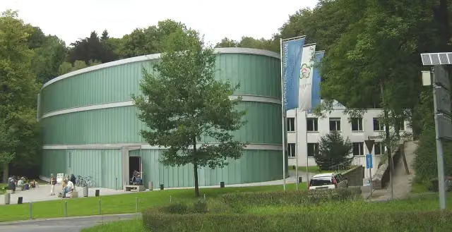 Neanderthal-MuseumMuseum · 9.8 km from the route
- 7
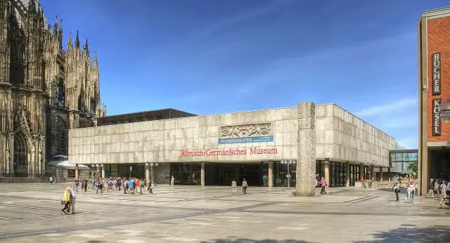 Romano-Germanic MuseumMuseum · 678 m from the route
- 8
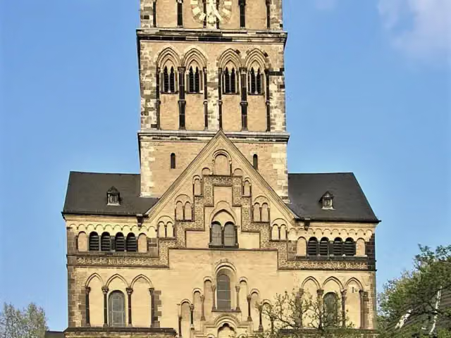 Quirinus-MünsterAttraction · 2.9 km from the route
- 9
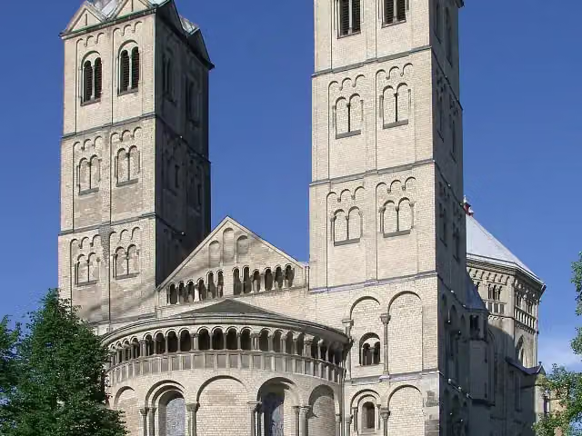 St. Gereon's BasilicaAttraction · 1.6 km from the route
- 10
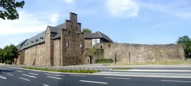 Broich CastleAttraction · 7.6 km from the route
- 11
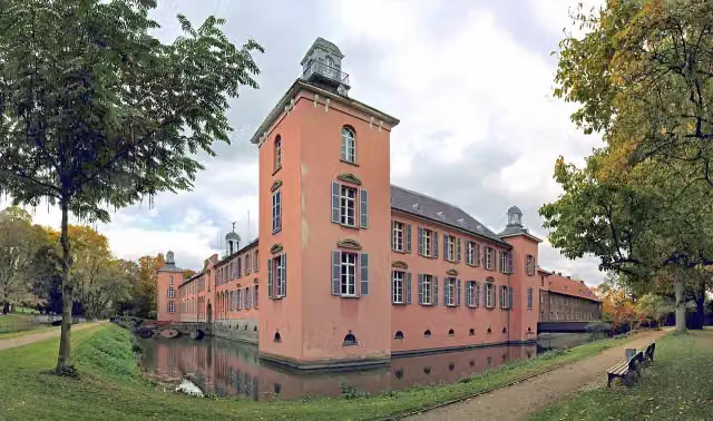 Schloss KalkumCastle · 1.5 km from the route
- 12
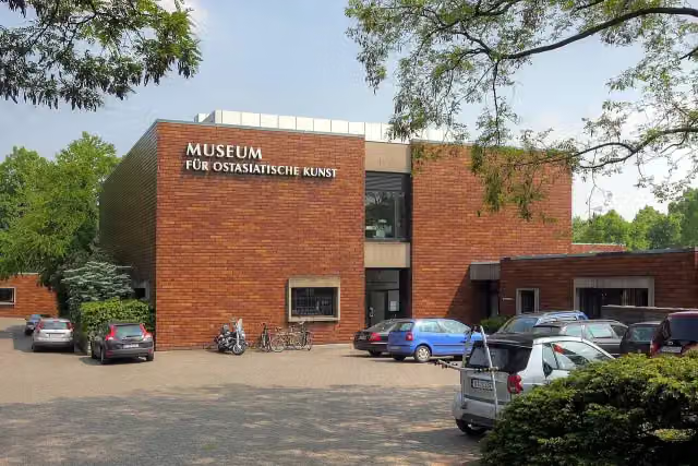 Museum für Ostasiatische KunstMuseum · 3 km from the route
- 13
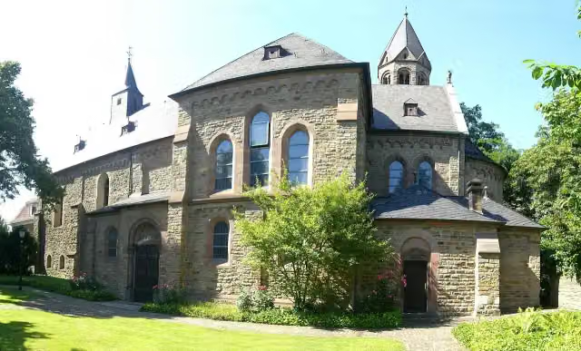 Saarn AbbeyAttraction · 9 km from the route
- 14
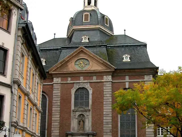 St. MaximilianAttraction · 162 m from the route
- 15
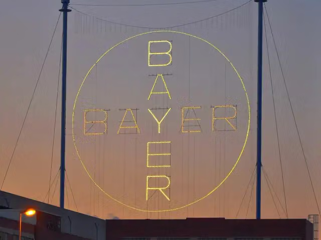 Bayer-KreuzAttraction · 259 m from the route
- 16
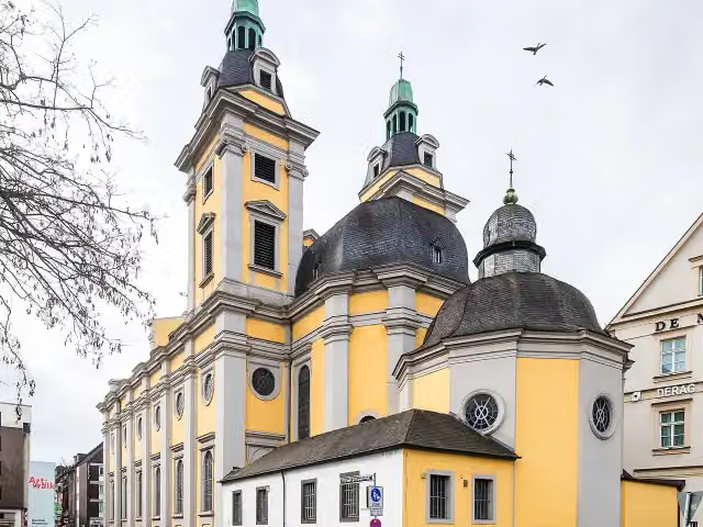 St. Andreas-KircheAttraction · 306 m from the route
- 17
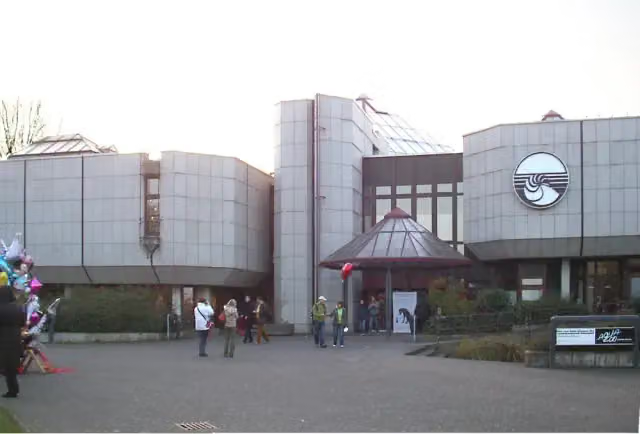 Löbbecke MuseumMuseum · 351 m from the route
- 18
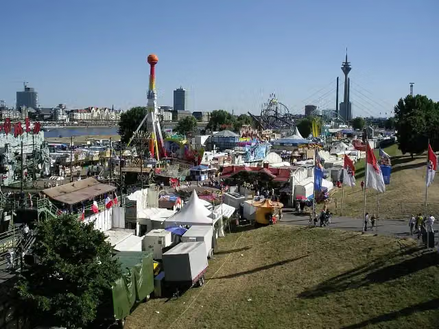 Rheinkirmes Entrance NorthAttraction · 516 m from the route
- 19
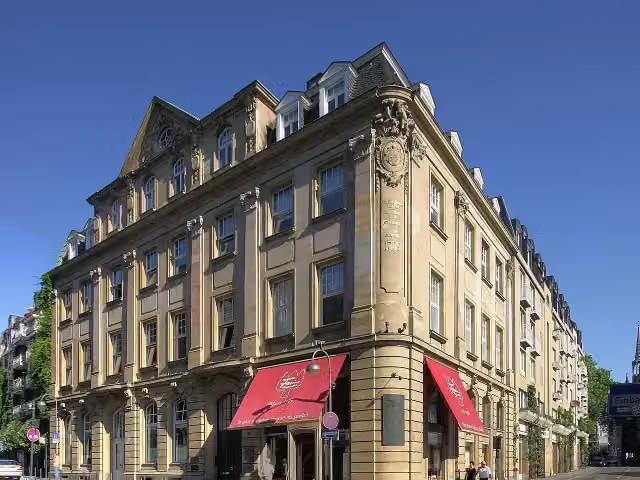 Duftmuseum im Farina-HausMuseum · 733 m from the route
- 20
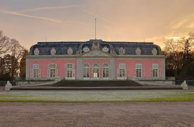 Schloss BenrathCastle · 812 m from the route
- 21
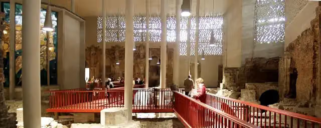 Kolumba KunstmuseumMuseum · 1 km from the route
- 22
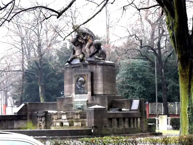 Albert-Mooren-BrunnenAttraction · 1 km from the route
- 23
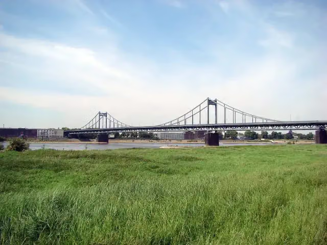 Krefeld-Uerdinger BrückeAttraction · 2.9 km from the route
- 24
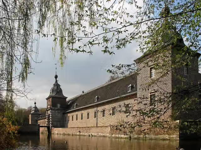 Schloss HeltorfCastle · 3.2 km from the route
- 25
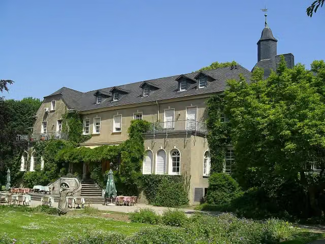 Schloss StyrumAttraction · 6.5 km from the route
Explore more
More cycle routes around Cologne
More nearby
Frequently asked questions
How long is EuroVelo 15 - Rheinradweg - Teilstrecke Köln - Moers?
EuroVelo 15 - Rheinradweg - Teilstrecke Köln - Moers is 101.8 km long. Allow ± 6:45 h of riding: 15 km an hour, without breaks.
Is this route a circular ride?
No, the route starts and ends at different spots.
Where does this route start?
The route starts in Cologne.
How hard is this route?
Hard, with 82 m of climbing.
Are there toilets along this route?
Yes, there are 28 public toilets within 100 m of the route. The longest stretch without a toilet is 20.6 km.
Can you fill up with water along this route?
Yes, there are 10 water fountains and refill points within 100 m of the route.
What is there to see along this route?
Along the way you pass Reiterstandbild König Friedrich Wilhelm IV., Gedenktafel KZ-Außenlager and Gedenken an NS-Messelager.
Can I download this route as a GPX file?
Yes. Sign in with your Outdoor Pitstop account and choose Download GPX at the top of this page: 10 routes a month for free, unlimited with Pro.
Starting point
More routes from this place
Route data © OpenStreetMap contributors





