 Outdoor Pitstop
Cycle route · Aachen · Updated on 14 November 2026
Pilgerroute NRW cycle route
Pilgerroute NRW is a cycle route of 492.7 km from Aachen. Along the way you'll find 2,397 benches, 23 water fountains and refill points, 69 public toilets, 24 bike pumps and 1 honesty box.
i
i
i
The route step by step
From start to finish, with what you pass along the way and the distance in between.
- 492.7 km
- ± 32:50 h
- ↑ 1,614 m · ↓ 1,612 m
- Hard
- From A to B
- National route
Start in Aachen
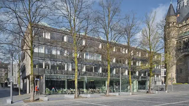
0 kmAt the start: Centre Charlemagne, Domschatzkammer, 2 public toilets and water point.
160 m · 15 benches

Grashaus and 1 more
160 mAachen Cathedral and water point
170 m · 2 benches
Römische Mauer and 1 more
330 mElisenbrunnen, public toilet, water point and bike pump
253 m · 29 benches
Public toilet
583 m1.4 km · 47 benches
Burg Frankenberg
2 km2 public toilets
1.2 km · 16 benches
Public toilet
3.2 km5.8 km · 27 benches
Bike pump
9 km1.1 km · 11 benches
Bike pump
10.1 km3 km · 21 benches
Bike pump
13.1 km519 m · 16 benches
Public toilet
13.6 km265 m · 3 benches
kunsthaus nrw
13.9 kmMuseum
188 m · 16 benches
Water point
14 km38.4 km · 73 benches
Public toilet
52.4 km7 km · 35 benches
Public toilet
59.4 km212 m · 6 benches
Burg Blens
59.6 kmCastle
825 m · bench
Public toilet
60.5 km4.7 km · 7 benches
2 public toilets and water point
65.2 km479 m · 17 benches
Burg Hengebach
65.7 km3 public toilets and bike pump
15 km · 52 benches
2 public toilets
80.7 km696 m · 3 benches
Public toilet
81.4 km1.1 km · 4 benches
Burg Kommern
82.5 km3 public toilets
1.9 km · 12 benches
Water point
84.3 km12.3 km · 54 benches
Public toilet
96.6 km13.8 km · 17 benches
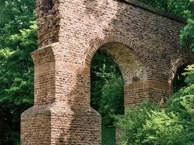
Teilstück Römische Wasserleitung
110.4 kmRuins · Audio story · 2 min
3.3 km
Bike pump
113.7 km3.4 km · bench
Public toilet
117.1 km6.5 km · 8 benches
Burg Odenhausen
123.6 kmCastle
3.5 km · 6 benches
Observation tower
127.1 kmObservation tower
8.8 km · 81 benches
von Carstanjen Mausoleum
135.9 kmAttraction
2.7 km · 14 benches
Bismarckturm Bonn-Gronau
138.6 kmAttraction
Show the other 88 steps
200 m · bench
Denkmal der Kriegsgefangenen
138.8 kmMemorial
549 m · 9 benches
Public toilet
139.3 km157 m · 4 benches
Altes Wasserwerk
139.5 kmAttraction
167 m · 5 benches
Ehemaliger Deutscher Bundestag
139.7 kmAttraction
471 m · 18 benches
Kanzler-Teehaus and 1 more
140.1 kmVilla Hammerschmidt
905 m · 38 benches
Ernst-Moritz-Arndt-Haus
141 kmMuseum
616 m · 24 benches
Beethoven and 2 more
141.6 kmAlter Zoll, Lenné-Haus and public toilet
167 m · 6 benches
Public toilet and water point
141.8 km240 m · 9 benches
Brückenmännchen and 1 more
142.1 kmSynagoge Bonn Denkmal and water point
4.6 km · 50 benches
Siegfähre
146.6 kmAttraction
3.2 km · 25 benches
Public toilet
149.9 km822 m · 11 benches
Bike pump
150.7 km2.3 km · 23 benches
Bike pump
152.9 km2.3 km · 17 benches
Water point
155.2 km230 m · 7 benches
Bike pump
155.4 km3.5 km · 9 benches
Burg Lülsdorf
158.9 kmCastle
1.6 km · 6 benches
Bike pump
160.6 km7.2 km · 34 benches
2 public toilets
167.7 km6.8 km · 94 benches
Public toilet
174.5 km1.9 km · 10 benches
Public toilet
176.4 km836 m · 13 benches
Public toilet
177.2 km882 m · 22 benches
Public toilet
178.1 km1.3 km · 32 benches
Public toilet
179.5 km452 m
Pegel Köln
179.9 kmPublic toilet
175 m
Cologne Museum of the History of Medicine
180.1 kmPublic toilet
303 m · 5 benches
Mahnmal für die schwulen und lesbischen Opfer des Nationalsozialismus in Köln and 3 more
180.4 kmEquestrian Statue of Kaiser Wilhelm II., Mahnmal für verfolgte Armenier and Reiterstandbild Kaiser Friedrich III.
6.4 km · 83 benches
Public toilet
186.7 km857 m · 6 benches
Public toilet
187.6 km16.1 km · 76 benches
Public toilet
203.6 km9 km · 65 benches
Public toilet, water point and bike pump
212.7 km6.1 km · 59 benches
Public toilet and water point
218.8 km3.3 km · 7 benches
Public toilet
222.1 km271 m
Public toilet
222.3 km2.8 km · 8 benches
Water point
225.1 km4.3 km · 32 benches
2 public toilets
229.4 km440 m · 7 benches
Triton-Brunnen and 1 more
229.9 kmSchadow-Denkmal
234 m · 16 benches
Peter von Cornelius and 1 more
230.1 kmKriegerdenkmal im Hofgarten and public toilet
243 m · 8 benches
K20 - Kunstsammlung NRW
230.3 kmPublic toilet
549 m · 13 benches
Denkmal der 39er
230.9 kmMemorial
242 m · 22 benches
NRW-Forum Düsseldorf
231.1 kmWater point
226 m · 29 benches
Glasmuseum Hentrich and 1 more
231.4 kmRheinterrasse
191 m · 11 benches
Public toilet
231.5 km651 m · 15 benches
Public toilet
232.2 km403 m · 2 benches
Public toilet
232.6 km362 m · 10 benches
Public toilet
233 km527 m
39er-Denkmal
233.5 kmMemorial
2.4 km · 8 benches
Water point
235.9 km5.7 km · 23 benches
Kaiserpfalz
241.6 kmPublic toilet
2.6 km · 17 benches
Schwarzbachmündung
244.3 kmAttraction
14.6 km · 83 benches
Bike pump
258.9 km3.5 km · 32 benches
Public toilet
262.4 km205 m · 6 benches
Public toilet
262.6 km2.7 km · 6 benches
Ruhrorter Tönnekesdrieter and 2 more
265.3 kmHaniel Museum and Schifferbörse
162 m
Museumsschiff "Oscar Huber"
265.4 kmMuseum
19.9 km · 130 benches
Water point and bike pump
285.4 km12.7 km · 10 benches
Fort Blücher
298.1 kmFort
2 km · 2 benches
Zitadelle Wesel
300.1 kmCastle
11.9 km · 28 benches
Krudenburg
312 kmPublic toilet and water point
17.4 km · 28 benches
Public toilet and 2 bike pumps
329.4 km248 m · 10 benches
Water point
329.7 km783 m · bench
Public toilet
330.5 km11.6 km · 16 benches
Bike pump
342 km5.2 km · 4 benches
Honesty box
347.2 km2.8 km · 16 benches
Public toilet and 2 bike pumps
350 km21.7 km · 29 benches
Public toilet
371.6 km1.3 km · 4 benches
Observation tower
372.9 kmObservation tower
28.4 km · 19 benches
Water point
401.3 km4.5 km · 13 benches
Water point
405.8 km526 m · 8 benches
Burg Davensberg
406.3 kmCastle
19.9 km · 35 benches
Bike pump
426.2 km2.9 km · 7 benches
Public toilet
429.1 km1.1 km · 24 benches
Bike pump
430.3 km551 m · 15 benches
Bike pump
430.8 km413 m · 8 benches
Ehrenmal Kürassierregiment
431.2 kmWater point
754 m · 36 benches
Public toilet
432 km308 m · 6 benches
Bike pump
432.3 km224 m · 12 benches
Public toilet
432.5 km596 m · 21 benches
Annette von Droste-Hülshoff and 1 more
433.1 kmJulius Otto Grimm
490 m · 20 benches
Public toilet and water point
433.6 km177 m · 11 benches
Zwinger
433.8 kmAttraction
1.2 km · 21 benches
Public toilet
435 km1 km · 25 benches
Bike pump
436.1 km3.3 km · 12 benches
Public toilet
439.3 km6.3 km · 6 benches
Bike pump
445.6 km2.3 km · 22 benches
Relígio
447.9 kmPublic toilet
5 km · 24 benches
Haus Langen
452.9 kmCastle
32.7 km · 40 benches
2 public toilets and 2 water fountains and refill points
485.6 km7.1 km · 16 benches
Finish
492.7 km
Longest stretch without a toilet: 57.5 kmBetween 371.6 km and 429.1 km there is no public toilet within 100 m of the route.
The route with the pitstops and sights within 100 m of it.
62 sights along the way
In the order you pass them. With the Outdoor Pitstop app you hear their story on the spot. 54 more along the route are on the map.
i
Photo: Armin Kleiner · Wikimedia Commons · CC BY-SA 4.0View the photo on Wikimedia CommonsMuseum · after 30 m
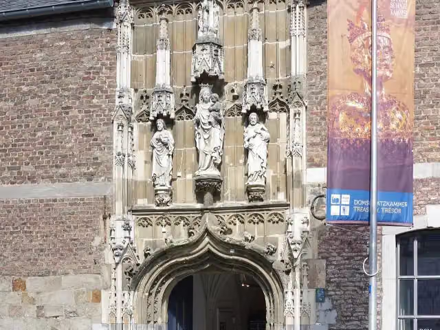
i
Photo: Berthold Werner · Wikimedia Commons · CC BY-SA 3.0View the photo on Wikimedia CommonsMuseum · after 88 m
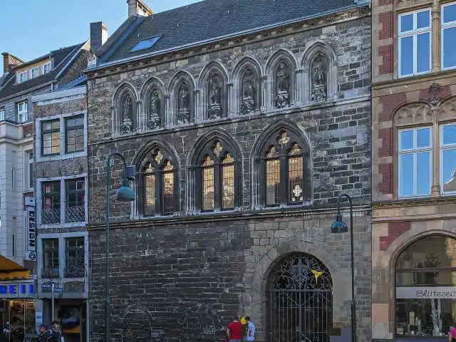
i
Photo: A.Savin · Wikimedia Commons · FALView the photo on Wikimedia CommonsAttraction · after 160 m
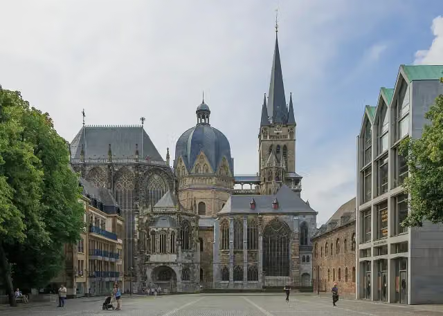 Audio story · 2 min
i
Photo: CEphoto, Uwe Aranas · Wikimedia Commons · CC BY-SA 3.0View the photo on Wikimedia CommonsAachen Cathedral
Attraction · after 259 m
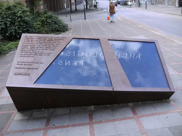
i
Photo: BBKurt · Wikimedia Commons · CC BY 3.0View the photo on Wikimedia CommonsArchaeological site · after 330 m
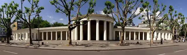
i
Photo: Karl Friedrich Schinkel · Wikimedia Commons · CC BY-SA 2.5View the photo on Wikimedia CommonsAttraction · after 475 m
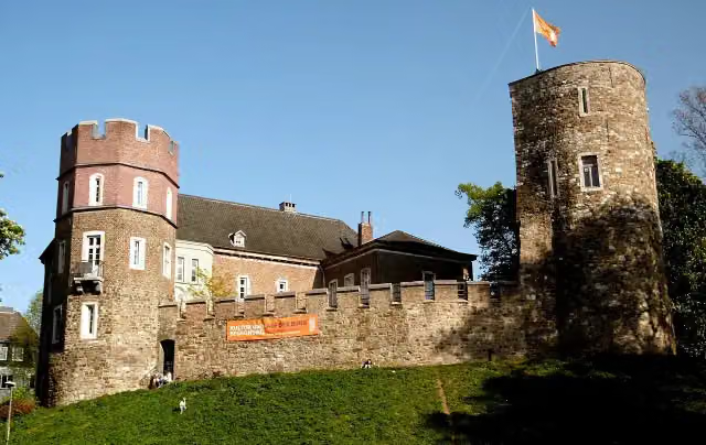
i
Photo: ArthurMcGill · Wikimedia Commons · CC BY 3.0View the photo on Wikimedia CommonsMuseum · after 2 km
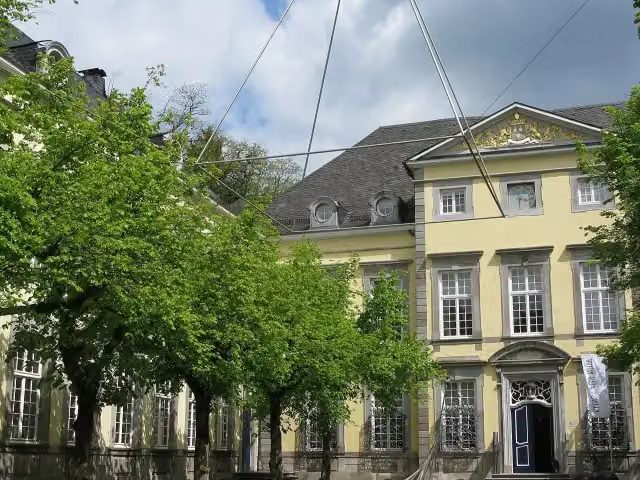
i
Photo: Moltkeplatz · Wikimedia Commons · CC BY-SA 4.0View the photo on Wikimedia CommonsMuseum · after 13.9 km
Elevation and terrain
- Up
- ↑ 1,614 m
- Down
- ↓ 1,612 m
- Highest point
- 394 m
- Lowest point
- 21 m
- 5-10% slope · 2.5 km
Elevation from Copernicus GLO-30 (European Union and ESA), smoothed.
produced using Copernicus WorldDEM-30 © DLR e.V. 2010-2014 and © Airbus Defence and Space GmbH 2014-2018 provided under COPERNICUS by the European Union and ESA; all rights reserved
Way types
492.7 km in total- Path: 183.2 km
- Road: 122.9 km
- Street: 90.5 km
- Track: 43.4 km
- Busy road: 18.9 km
- Cycle path: 15 km
- Footpath (walk your bike): 12.9 km
- Unknown: 4.6 km
Surfaces
492.7 km in total- Asphalt: 394.1 km
- Paved: 51.1 km
- Gravel: 39.6 km
- Unpaved: 325 m
- Unknown: 6.2 km
About the cycle route Pilgerroute NRW
Updated on 14 November 2026, with data from OpenStreetMap, the AHN and Copernicus.
Where do you cycle?
Pilgerroute NRW is a cycle route of 492.7 km that starts in Aachen. It does not end where it starts. You start in Aachen and finish in Bad Iburg. Along the way you pass Centre Charlemagne (after 30 m), Domschatzkammer (after 88 m) and Grashaus (after 160 m).
How hard is the route?
You climb 1,614 m in total and descend 1,612 m. Allow ± 32:50 h, without breaks. The level is hard.
What roads do you cycle on?
The longest part is path (183.2 km), road (122.9 km) and street (90.5 km). Of the surface, 394.1 km asphalt and 51.1 km paved. For 6.2 km the surface is not known.
Pitstops along the way
Within 100 metres of the route there are 2,397 benches, 23 water fountains and refill points, 69 public toilets, 24 bike pumps and 1 honesty box. The longest stretch without a toilet is 57.5 km. The Outdoor Pitstop app navigates you there.
Part of Pilgerroute
Cycle routes nearby
6- [D4] Mittelland-Route (Nordrhein-Westfalen)Hard · From A to B312.9 km
- Deutsche Fußball Route NRW (West)Hard · From A to B257.7 km
- Wasserburgen-Route Etappe 4Hard · From A to B72.4 km
- EuroVelo 3 - Pilgrim's Route - part Germany Wasserburgen RouteHard · From A to B137.1 km
- Wasserburgen-Route Etappe 5Easy · From A to B22.9 km
- Bahntrassenradweg Aachen - JülichModerate · From A to B32.3 km
Sights nearby
Within 10 km of the route, best known first.
- 1
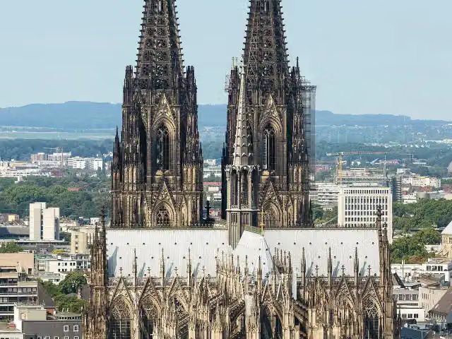 Cologne CathedralAttraction · 350 m from the route
- 2
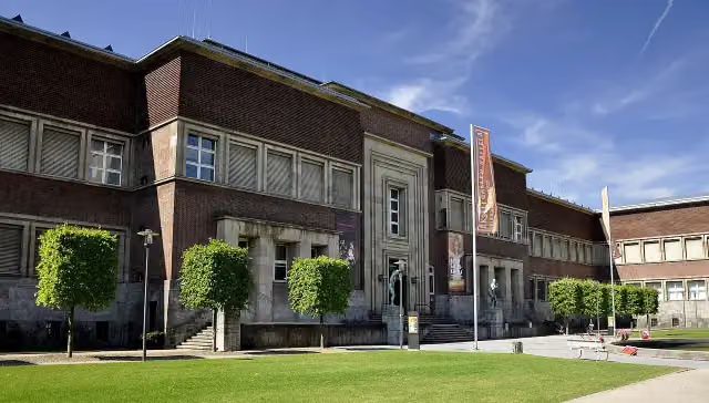 Museum KunstpalastMuseum · 105 m from the route
- 3
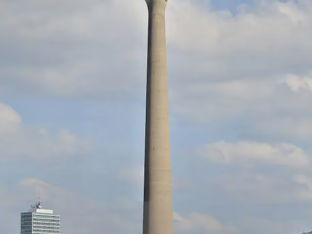 Rhine TowerViewpoint · 1.2 km from the route
- 4
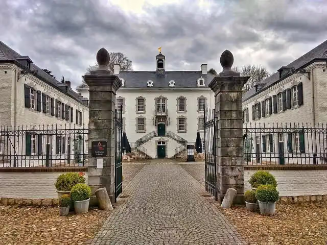 Kasteel VaalsbroekCastle · 6.2 km from the route
- 5
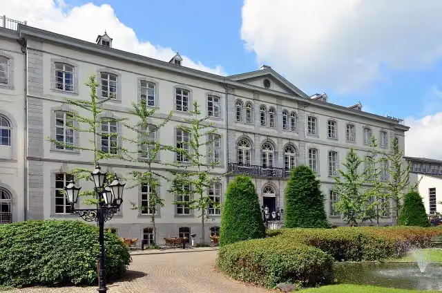 Huis BloemendalCastle · 4.9 km from the route
- 6
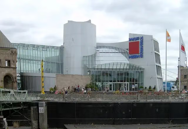 Chocolate MuseumMuseum · 460 m from the route
- 7
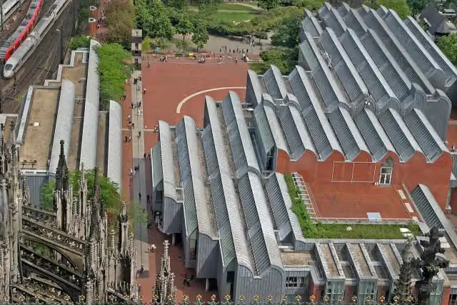 Museum LudwigMuseum · 217 m from the route
- 8
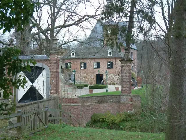 Kasteel LemiersCastle · 6.3 km from the route
- 9
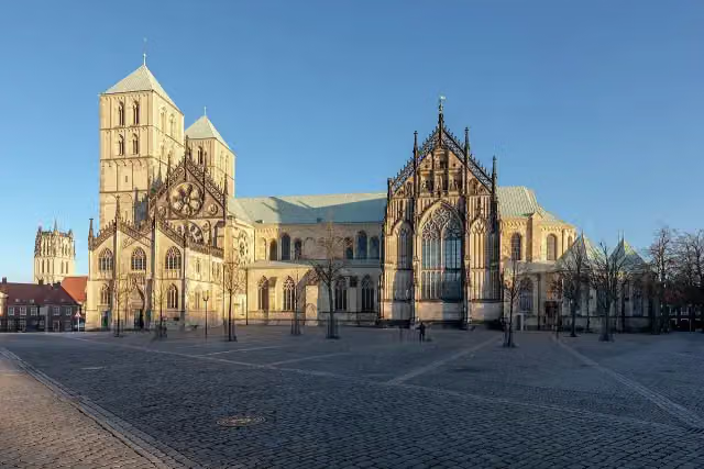 St.-Paulus-DomAttraction · 480 m from the route
- 10
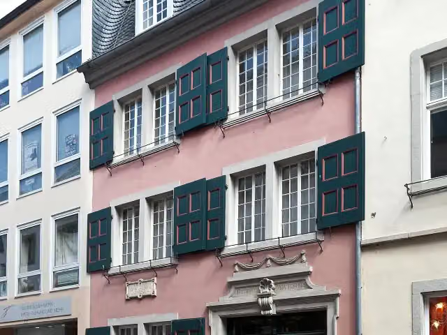 Beethoven HouseMuseum · 434 m from the route
- 11
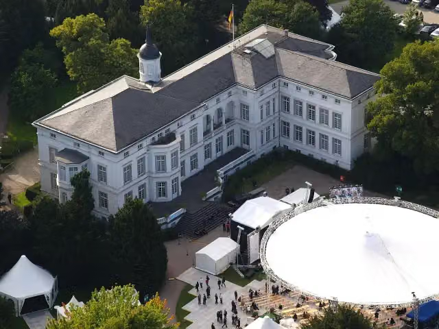 Palais SchaumburgAttraction · 301 m from the route
- 12
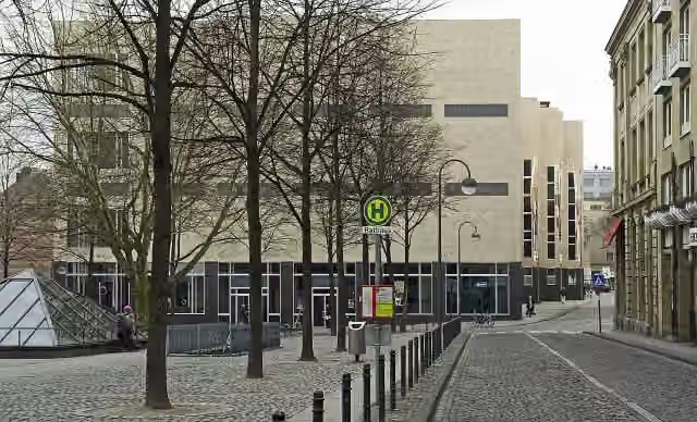 Wallraf-Richartz-Museum & Fondation CorboudMuseum · 346 m from the route
- 13
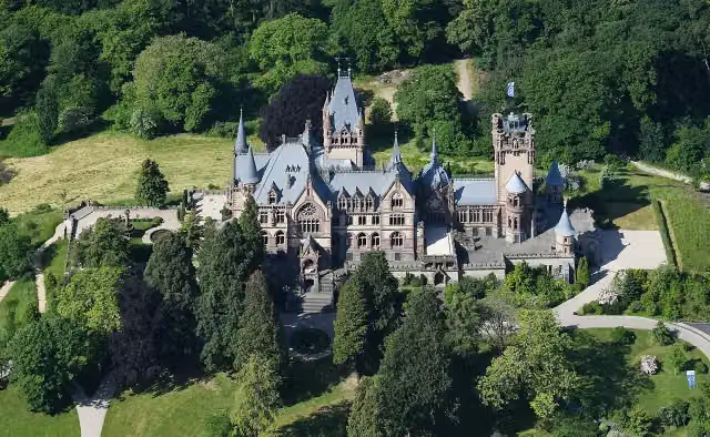 Schloß DrachenburgAttraction · 982 m from the route
- 14
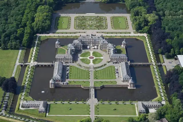 Schloss NordkirchenCastle · 1.6 km from the route
- 15
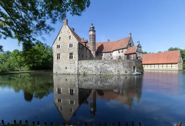 Vischering CastleAttraction · 2 km from the route
- 16
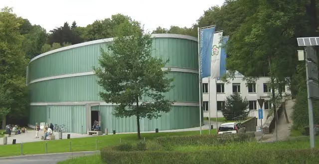 Neanderthal-MuseumMuseum · 9.8 km from the route
- 17
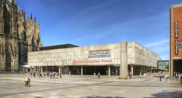 Romano-Germanic MuseumMuseum · 296 m from the route
- 18
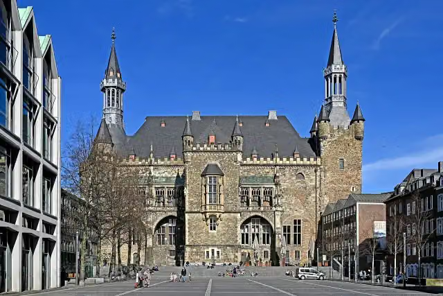 Aachen Town HallAttraction · 114 m from the route
- 19
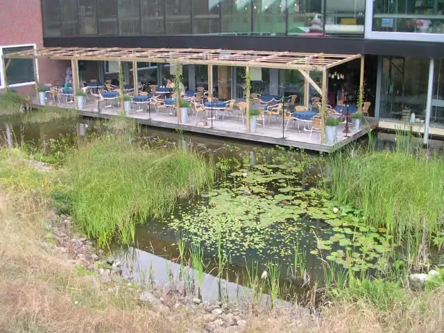 Discovery MuseumMuseum · 9.7 km from the route
- 20
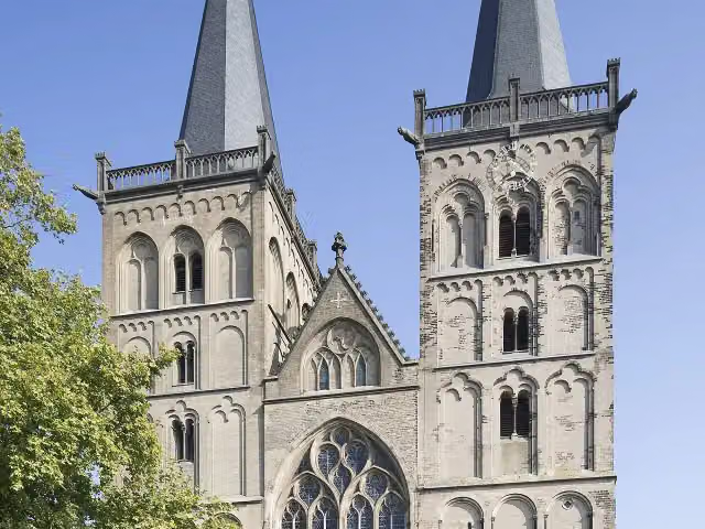 Xanten CathedralAttraction · 9.7 km from the route
- 21
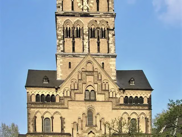 Quirinus-MünsterAttraction · 6.1 km from the route
- 22
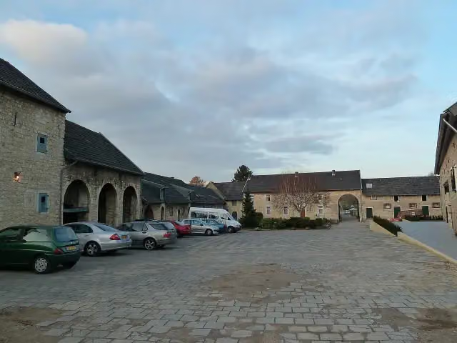 Hoeve OverhuizenCastle · 6.6 km from the route
- 23
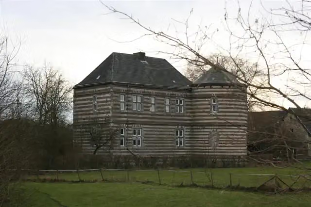 Kasteel De BongardCastle · 7.6 km from the route
- 24
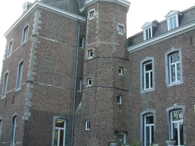 Kasteel NijswillerCastle · 9.3 km from the route
- 25
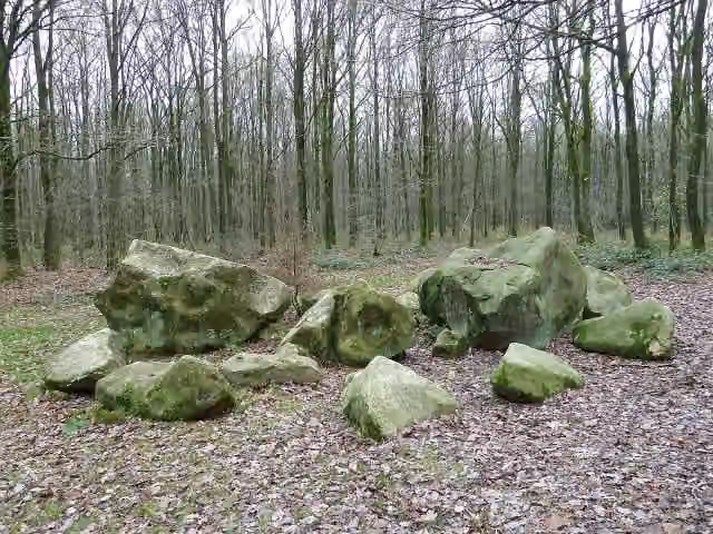 Geologisch monument ZandsteenblokkenMemorial · 8.9 km from the route
Explore more
Frequently asked questions
How long is Pilgerroute NRW?
Pilgerroute NRW is 492.7 km long. Allow ± 32:50 h of riding: 15 km an hour, without breaks.
Is this route a circular ride?
No, the route runs from Aachen to Bad Iburg.
Where does this route start?
The route starts in Aachen.
How hard is this route?
Hard, with 1,614 m of climbing.
Are there toilets along this route?
Yes, there are 69 public toilets within 100 m of the route. The longest stretch without a toilet is 57.5 km.
Can you fill up with water along this route?
Yes, there are 23 water fountains and refill points within 100 m of the route.
What is there to see along this route?
Along the way you pass Centre Charlemagne, Domschatzkammer and Grashaus.
Can I download this route as a GPX file?
Yes. Sign in with your Outdoor Pitstop account and choose Download GPX at the top of this page: 10 routes a month for free, unlimited with Pro.
Starting point
More routes from this place
Route data © OpenStreetMap contributors





