 Outdoor Pitstop
Cycle route · Cologne · Updated on 14 November 2026
EV4 Germany, Köln - Koblenz cycle route
EV4 Germany, Köln - Koblenz is a cycle route of 107.5 km from Cologne. Along the way you'll find 1,070 benches, 8 water fountains and refill points, 28 public toilets and 5 bike pumps.
i
i
The route step by step
From start to finish, with what you pass along the way and the distance in between.
- 107.5 km
- ± 7:10 h
- ↑ 146 m · ↓ 111 m
- Hard
- From A to B
- International route
- Colour of the signs
Start in Cologne
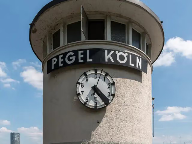
0 kmAt the start: Pegel Köln and public toilet.
463 m
Public toilet
463 m1.3 km · 32 benches
Public toilet
1.8 km882 m · 22 benches
Public toilet
2.7 km834 m · 13 benches
Public toilet
3.5 km1.9 km · 10 benches
Public toilet
5.4 km6.8 km · 94 benches
2 public toilets
12.2 km7.2 km · 34 benches
Bike pump
19.4 km1.6 km · 6 benches

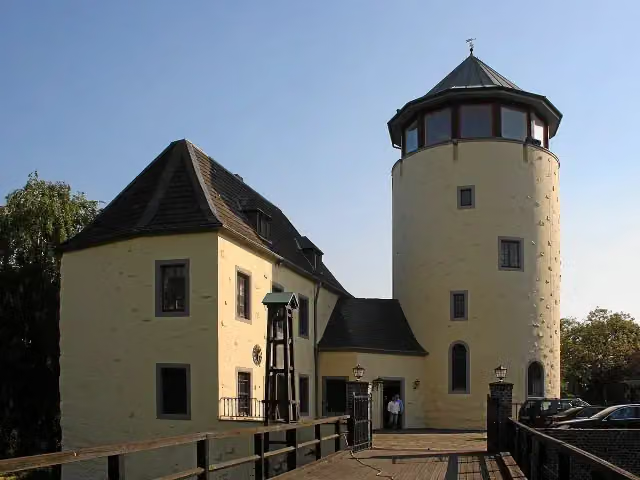
Burg Lülsdorf
21 kmCastle
3.5 km · 9 benches
Bike pump
24.5 km230 m · 7 benches
Water point
24.7 km2.3 km · 17 benches
Bike pump
27 km2.3 km · 23 benches
Bike pump
29.2 km822 m · 11 benches
Public toilet
30 km3.2 km · 25 benches
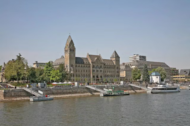
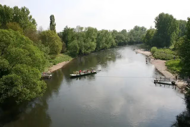
Siegfähre
33.3 kmAttraction
4.5 km · 49 benches
Synagoge Bonn Denkmal and 1 more
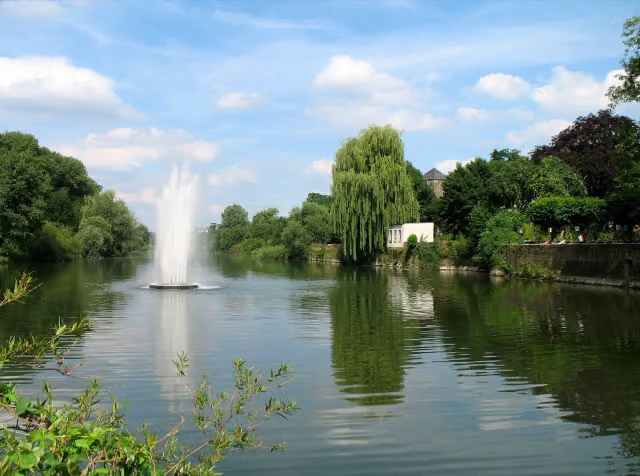
37.8 kmBrückenmännchen and water point
280 m · 10 benches
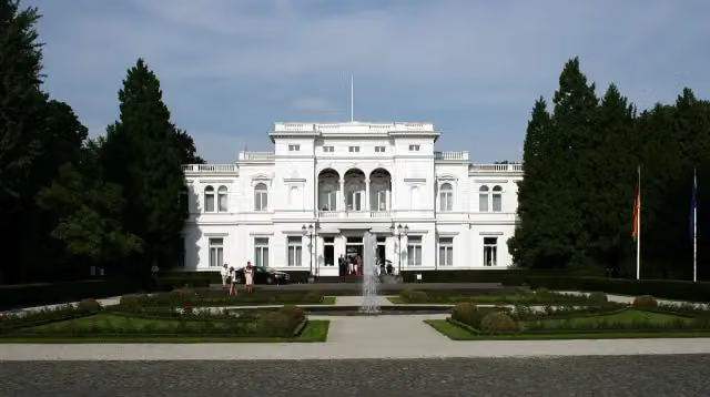
Lenné-Haus and 1 more
38.1 kmAlter Zoll, public toilet and water point
164 m · 4 benches
Beethoven
38.2 kmPublic toilet
645 m · 26 benches
Ernst-Moritz-Arndt-Haus
38.9 kmMuseum
825 m · 35 benches
Villa Hammerschmidt and 1 more
39.7 kmKanzler-Teehaus
550 m · 21 benches
Ehemaliger Deutscher Bundestag
40.2 kmAttraction
167 m · 5 benches
Altes Wasserwerk
40.4 kmAttraction
157 m · 4 benches
Public toilet
40.6 km549 m · 9 benches
Denkmal der Kriegsgefangenen
41.1 kmMemorial
200 m · bench
Bismarckturm Bonn-Gronau
41.3 kmAttraction
2.7 km · 14 benches
von Carstanjen Mausoleum
44 kmAttraction
6.9 km · 100 benches
Public toilet
50.9 km3.8 km · 21 benches
Water point
54.7 km2.9 km · 8 benches
Schloss Marienfels
57.6 kmCastle
1.6 km · 26 benches
Römisches Museum
59.2 kmPublic toilet and water point
Show the other 22 steps
1.2 km · 41 benches
Friedensmuseum Brücke von Remagen
60.4 kmPublic toilet
637 m · 6 benches
Public toilet
61 km8.7 km · 78 benches
Public toilet
69.7 km3.3 km · 25 benches
Public toilet
73 km769 m · 8 benches
Public toilet
73.8 km7.2 km · 49 benches
2 public toilets
81 km529 m · 8 benches
Stadtburg Andernach
81.6 kmAttraction
12.5 km · 90 benches
Water point
94 km410 m · 3 benches
Water point
94.4 km8 km · 33 benches
Public toilet
102.4 km366 m · bench
2 public toilets
102.8 km158 m
Public toilet and water point
103 km1.6 km · 11 benches
Alte Burg
104.5 kmCastle
199 m · 8 benches
Augenroller and 1 more
104.7 kmFlorinskirche
334 m · 18 benches
Peter-Altmeier-Denkmal and 1 more
105.1 kmKastorbrunnen
213 m · 7 benches
Kaiser-Wilhelm-Denkmal
105.3 kmPublic toilet
165 m · 5 benches
Ludwig-Museum im Deutschherrenhaus
105.4 kmMuseum
237 m · 15 benches
2 public toilets
105.7 km199 m · bench
Schiffbrücke Koblenz-Ehrenbreitstein and 1 more
105.9 kmPegelhaus
457 m · 10 benches
Koblenzer Sektmuseum
106.3 kmMuseum
394 m · 8 benches
Bike pump
106.7 km777 m · 9 benches
Finish
107.5 km
Longest stretch without a toilet: 21.3 kmBetween 81.1 km and 102.4 km there is no public toilet within 100 m of the route.
The route with the pitstops and sights within 100 m of it.
30 sights along the way
In the order you pass them. With the Outdoor Pitstop app you hear their story on the spot. 22 more along the route are on the map.
i
Photo: Dietmar Rabich · Wikimedia Commons · CC BY-SA 4.0View the photo on Wikimedia CommonsAttraction · after 0 m
i
Photo: Beckstet · Wikimedia Commons · CC BY-SA 3.0View the photo on Wikimedia CommonsCastle · after 21 km
i
Photo: Sir James · Wikimedia Commons · CC BY-SA 3.0View the photo on Wikimedia CommonsAttraction · after 33.3 km
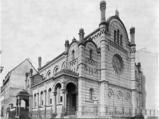
Memorial · after 37.8 km
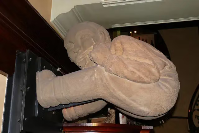
i
Photo: Hawobo · Wikimedia Commons · CC BY-SA 2.0 deView the photo on Wikimedia CommonsMemorial · after 37.8 km
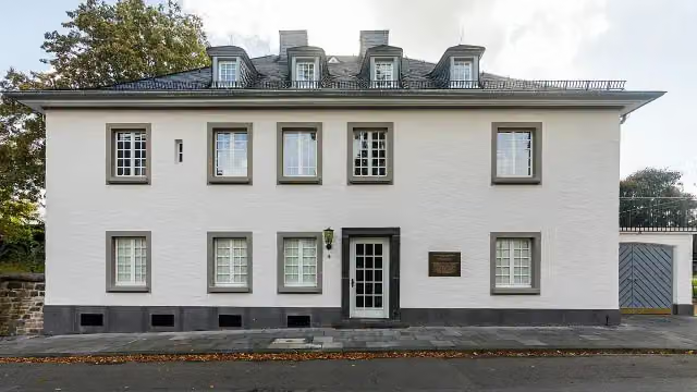
i
Photo: Raimond Spekking · Wikimedia Commons · CC BY-SA 4.0View the photo on Wikimedia CommonsAttraction · after 38.1 km
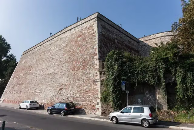
i
Photo: HKuhse-Bonn · Wikimedia Commons · CC BY-SA 4.0View the photo on Wikimedia CommonsViewpoint · after 38.2 km

Memorial · after 38.2 km
Elevation and terrain
- Up
- ↑ 146 m
- Down
- ↓ 111 m
- Highest point
- 87 m
- Lowest point
- 39 m
Nowhere steeper than 5%.
Elevation from Copernicus GLO-30 (European Union and ESA), smoothed.
produced using Copernicus WorldDEM-30 © DLR e.V. 2010-2014 and © Airbus Defence and Space GmbH 2014-2018 provided under COPERNICUS by the European Union and ESA; all rights reserved
Way types
107.5 km in total- Path: 64.1 km
- Street: 22.9 km
- Cycle path: 8.6 km
- Road: 6.5 km
- Footpath (walk your bike): 3.1 km
- Track: 1.8 km
- Busy road: 350 m
Surfaces
107.5 km in total- Asphalt: 81.4 km
- Paved: 25.3 km
- Gravel: 600 m
- Unknown: 75 m
About the cycle route EV4 Germany, Köln - Koblenz
Updated on 14 November 2026, with data from OpenStreetMap, the AHN and Copernicus.
Where do you cycle?
EV4 Germany, Köln - Koblenz is a cycle route of 107.5 km that starts in Cologne. It does not end where it starts. Along the way you pass Pegel Köln (after 0 m), Burg Lülsdorf (after 21 km) and Siegfähre (after 33.3 km).
How hard is the route?
You climb 146 m in total and descend 111 m. Allow ± 7:10 h, without breaks. The level is hard.
What roads do you cycle on?
The longest part is path (64.1 km), street (22.9 km) and cycle path (8.6 km). Of the surface, 81.4 km asphalt and 25.3 km paved. For 75 m the surface is not known.
Pitstops along the way
Within 100 metres of the route there are 1,070 benches, 8 water fountains and refill points, 28 public toilets and 5 bike pumps. The longest stretch without a toilet is 21.3 km. The Outdoor Pitstop app navigates you there.
Cycle routes nearby
6- R17 [NRW]Easy · From A to B28.9 km
- Deutsche Fußball Route NRW (West)Hard · From A to B257.7 km
- EV4 Germany, border - KölnHard · From A to B102.1 km
- Erlebnisweg Rheinschiene (West (Süd))Hard · From A to B102.3 km
- EuroVelo 15 - Rheinradweg - Teilstrecke Köln - Grenze NiederlandeHard · From A to B192.3 km
- Pilgerroute NRWHard · From A to B492.7 km
Sights nearby
Within 10 km of the route, best known first.
- 1
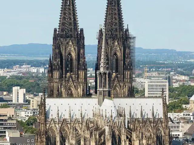 Cologne CathedralAttraction · 625 m from the route
- 2
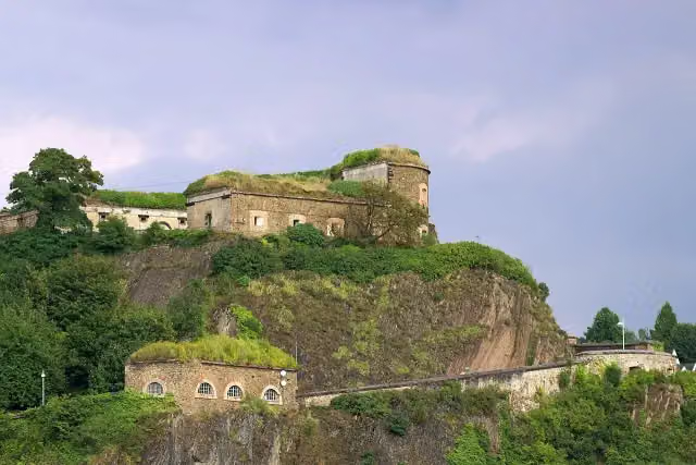 Ehrenbreitstein FortressCastle · 681 m from the route
- 3
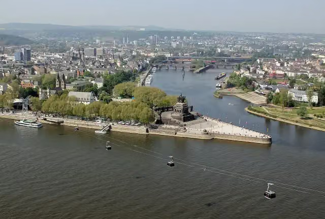 Deutsches EckViewpoint · 231 m from the route
- 4
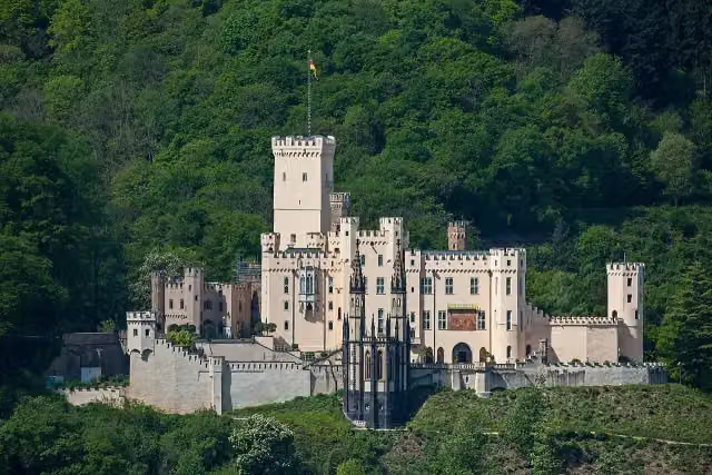 Schloss StolzenfelsCastle · 5.5 km from the route
- 5
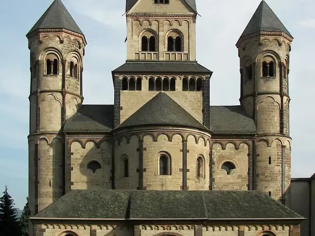 Benediktinerabtei Maria LaachAttraction · 9.6 km from the route
- 6
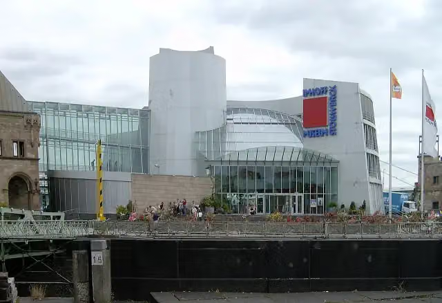 Chocolate MuseumMuseum · 460 m from the route
- 7
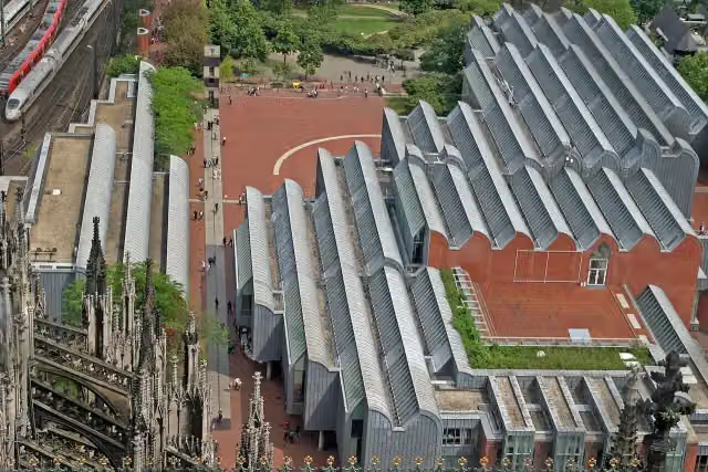 Museum LudwigMuseum · 508 m from the route
- 8
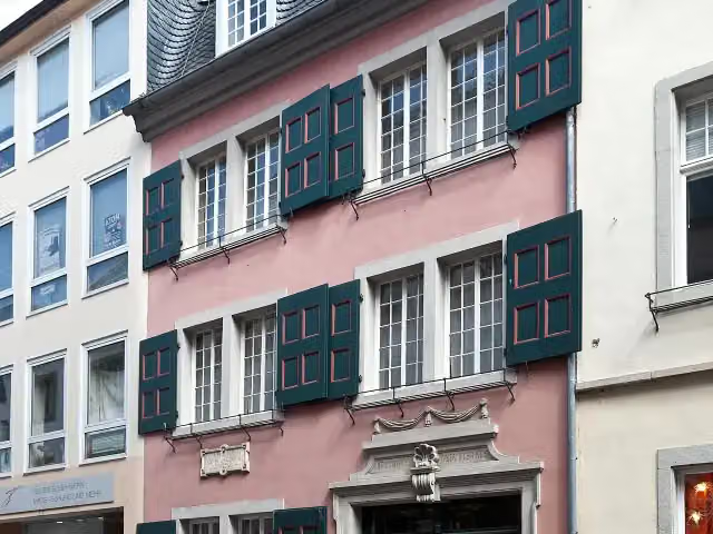 Beethoven HouseMuseum · 413 m from the route
- 9
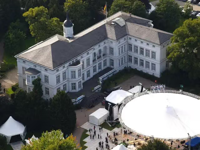 Palais SchaumburgAttraction · 300 m from the route
- 10
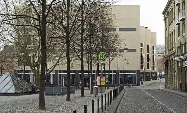 Wallraf-Richartz-Museum & Fondation CorboudMuseum · 353 m from the route
- 11
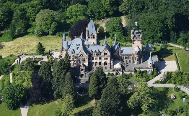 Schloß DrachenburgAttraction · 1 km from the route
- 12
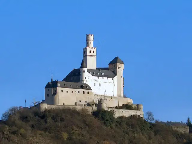 MarksburgMuseum · 9.6 km from the route
- 13
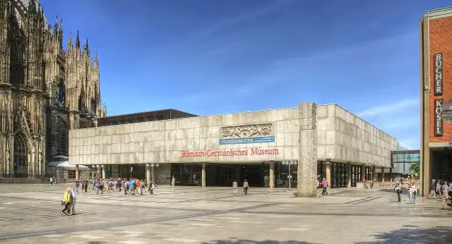 Romano-Germanic MuseumMuseum · 528 m from the route
- 14
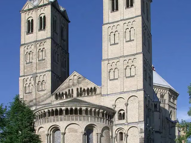 St. Gereon's BasilicaAttraction · 1.4 km from the route
- 15
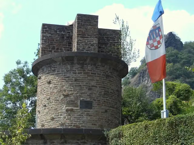 UlanendenkmalMemorial · 928 m from the route
- 16
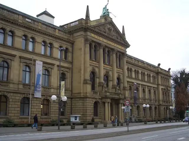 Museum Alexander KoenigMuseum · 346 m from the route
- 17
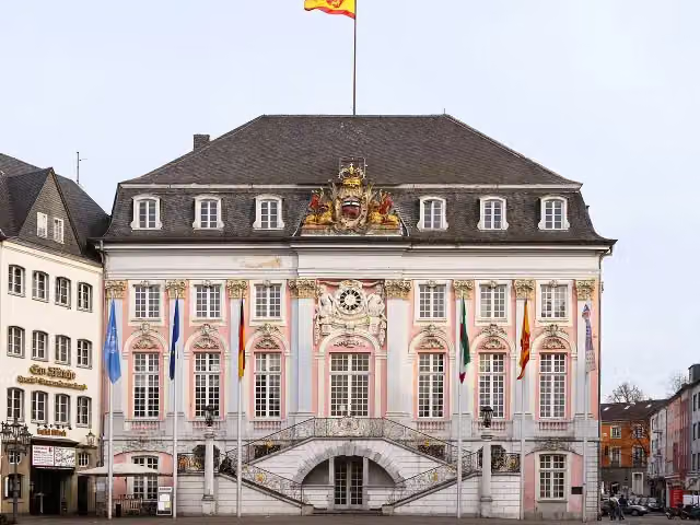 Altes RathausAttraction · 342 m from the route
- 18
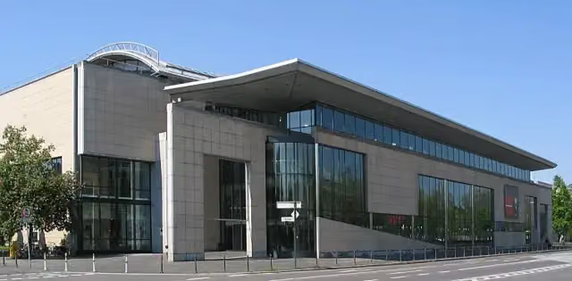 Haus der Geschichte der Bundesrepublik DeutschlandMuseum · 492 m from the route
- 19
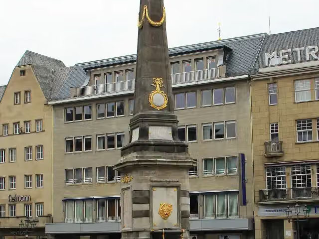 Market fountainAttraction · 399 m from the route
- 20
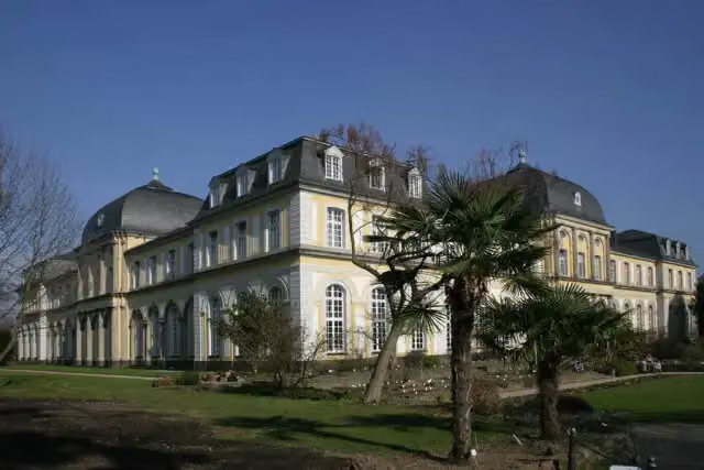 Poppelsdorf PalaceAttraction · 1.4 km from the route
- 21
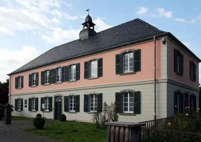 Schumannhaus und Schumann-GrabmalMuseum · 2.4 km from the route
- 22
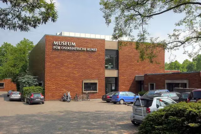 Museum für Ostasiatische KunstMuseum · 2.7 km from the route
- 23
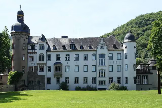 Namedy CastleAttraction · 105 m from the route
- 24
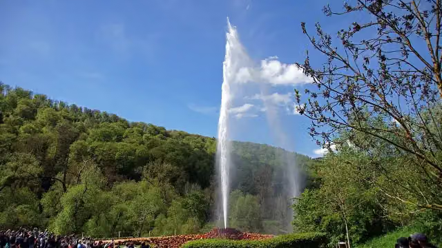 Andernach GeyserAttraction · 110 m from the route
- 25
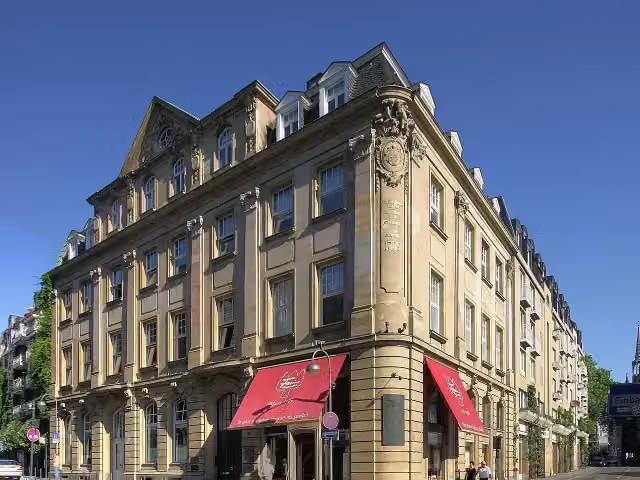 Duftmuseum im Farina-HausMuseum · 397 m from the route
Explore more
More cycle routes around Cologne
More nearby
Frequently asked questions
How long is EV4 Germany, Köln - Koblenz?
EV4 Germany, Köln - Koblenz is 107.5 km long. Allow ± 7:10 h of riding: 15 km an hour, without breaks.
Is this route a circular ride?
No, the route starts and ends at different spots.
Where does this route start?
The route starts in Cologne.
How hard is this route?
Hard, with 146 m of climbing.
Are there toilets along this route?
Yes, there are 28 public toilets within 100 m of the route. The longest stretch without a toilet is 21.3 km.
Can you fill up with water along this route?
Yes, there are 8 water fountains and refill points within 100 m of the route.
What is there to see along this route?
Along the way you pass Pegel Köln, Burg Lülsdorf and Siegfähre.
Can I download this route as a GPX file?
Yes. Sign in with your Outdoor Pitstop account and choose Download GPX at the top of this page: 10 routes a month for free, unlimited with Pro.
Starting point
More routes from this place
Route data © OpenStreetMap contributors





