 Outdoor Pitstop
Cycle route · Wesel · Updated on 14 November 2026
EuroVelo 3 - Pilgrim's Route - part Germany Rheinradweg cycle route
EuroVelo 3 - Pilgrim's Route - part Germany Rheinradweg is a cycle route of 166.9 km from Wesel. Along the way you'll find 1,244 benches, 8 water fountains and refill points, 28 public toilets and 7 bike pumps.
i
i
i
The route step by step
From start to finish, with what you pass along the way and the distance in between.
- 166.9 km
- ± 11:10 h
- ↑ 147 m · ↓ 120 m
- Hard
- From A to B
- International route
- Colour of the signs
Start in Wesel
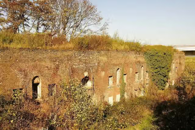
0 kmAt the start: Fort Blücher.
12.6 km · 12 benches
Water point and bike pump
12.6 km19.9 km · 128 benches

Museumsschiff "Oscar Huber" and 2 more
32.5 kmSchifferbörse and Haniel Museum
162 m
Ruhrorter Tönnekesdrieter
32.7 kmMemorial
2.7 km · 9 benches
Public toilet
35.4 km204 m · 3 benches
Public toilet
35.6 km3.5 km · 32 benches
Bike pump
39.1 km14.6 km · 83 benches
Schwarzbachmündung
53.7 kmAttraction
2.5 km · 14 benches
Kaiserpfalz
56.2 kmPublic toilet
5.8 km · 26 benches
Water point
62.1 km2.4 km · 8 benches
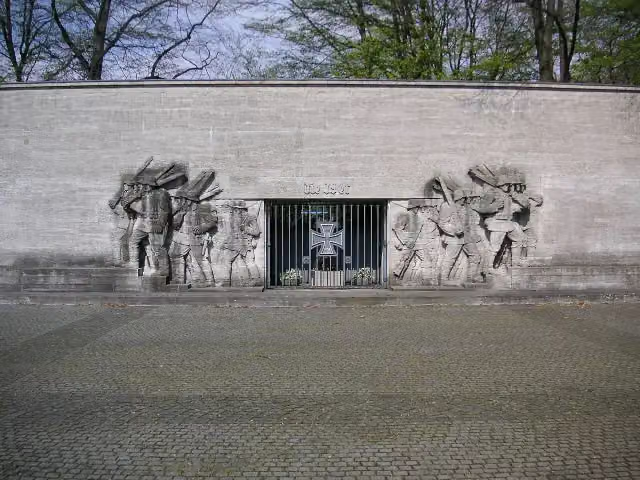
39er-Denkmal
64.5 kmMemorial
2.9 km · 4 benches
Rheinkirmes Entrance North
67.4 kmAttraction
696 m · bench
Denkmal der 39er
68.1 kmMemorial
479 m · 11 benches
K20 - Kunstsammlung NRW and 1 more
68.6 kmKunstverein für die Rheinlande und Westfalen and 2 public toilets
157 m · 2 benches
Kriegerdenkmal im Hofgarten and 1 more
68.7 kmPeter von Cornelius and public toilet
258 m · 10 benches
Schadow-Denkmal and 1 more
69 kmTriton-Brunnen
409 m · 16 benches
2 public toilets
69.4 km4.4 km · 37 benches
Water point
73.8 km2.8 km · 8 benches
Public toilet
76.6 km271 m
Public toilet
76.9 km3.2 km · 4 benches
Public toilet and water point
80.1 km5.1 km · 45 benches
Public toilet, water point and bike pump
85.2 km9.1 km · 67 benches
Public toilet
94.3 km16 km · 76 benches
Public toilet
110.4 km857 m · 6 benches
Public toilet
111.2 km6.3 km · 81 benches
Reiterstandbild Kaiser Friedrich III. and 3 more
117.5 kmMahnmal für verfolgte Armenier, Equestrian Statue of Kaiser Wilhelm II. and Mahnmal für die schwulen und lesbischen Opfer des Nationalsozialismus in Köln
332 m · 7 benches
Cologne Museum of the History of Medicine
117.8 kmPublic toilet
199 m
Pegel Köln
118 kmPublic toilet
483 m
Public toilet
118.5 km1.3 km · 32 benches
Public toilet
119.8 km
Show the other 24 steps
882 m · 22 benches
Public toilet
120.7 km835 m · 13 benches
Public toilet
121.6 km1.9 km · 10 benches
Public toilet
123.5 km6.8 km · 94 benches
2 public toilets
130.2 km7.2 km · 34 benches
Bike pump
137.4 km1.6 km · 6 benches
Burg Lülsdorf
139 kmCastle
3.5 km · 9 benches
Bike pump
142.5 km231 m · 7 benches
Water point
142.7 km2.3 km · 17 benches
Bike pump
145 km2.3 km · 23 benches
Bike pump
147.3 km822 m · 11 benches
Public toilet
148.1 km3.2 km · 25 benches
Siegfähre
151.3 kmAttraction
4.5 km · 49 benches
Synagoge Bonn Denkmal and 1 more
155.8 kmBrückenmännchen and water point
280 m · 10 benches
Lenné-Haus and 1 more
156.1 kmAlter Zoll, public toilet and water point
165 m · 4 benches
Beethoven
156.3 kmPublic toilet
646 m · 26 benches
Ernst-Moritz-Arndt-Haus
156.9 kmMuseum
824 m · 35 benches
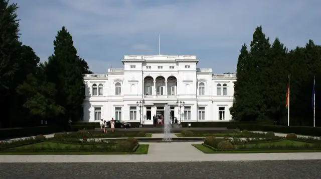
Villa Hammerschmidt and 1 more
157.7 kmKanzler-Teehaus
551 m · 21 benches
Ehemaliger Deutscher Bundestag
158.3 kmAttraction
167 m · 5 benches
Altes Wasserwerk
158.5 kmAttraction
157 m · 4 benches
Public toilet
158.6 km549 m · 9 benches
Denkmal der Kriegsgefangenen
159.2 kmMemorial
200 m · bench
Bismarckturm Bonn-Gronau
159.4 kmAttraction
2.7 km · 14 benches
von Carstanjen Mausoleum
162 kmAttraction
4.9 km · 73 benches
Finish
166.9 km
Longest stretch without a toilet: 35.4 kmBetween 0 km and 35.4 km there is no public toilet within 100 m of the route.
The route with the pitstops and sights within 100 m of it.
37 sights along the way
In the order you pass them. With the Outdoor Pitstop app you hear their story on the spot. 29 more along the route are on the map.
i
Photo: Claus Derksen · Wikimedia Commons · CC BY 3.0View the photo on Wikimedia CommonsFort · after 0 m

Museum · after 32.5 km
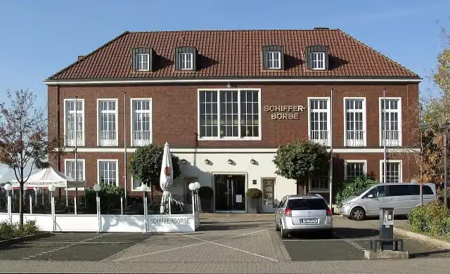
i
Photo: Raymond - Raimond Spekking · Wikimedia Commons · CC BY-SA 3.0View the photo on Wikimedia CommonsAttraction · after 32.6 km
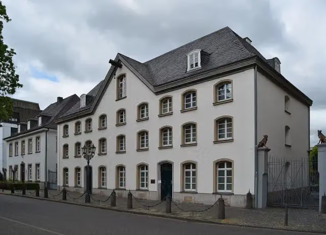
i
Photo: kaʁstn Dis/Cat · Wikimedia Commons · CC BY-SA 3.0 deView the photo on Wikimedia CommonsMuseum · after 32.6 km
Memorial · after 32.7 km
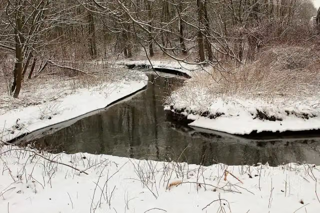
i
Photo: Billy Z · Wikimedia Commons · CC BY-SA 4.0View the photo on Wikimedia CommonsAttraction · after 53.7 km
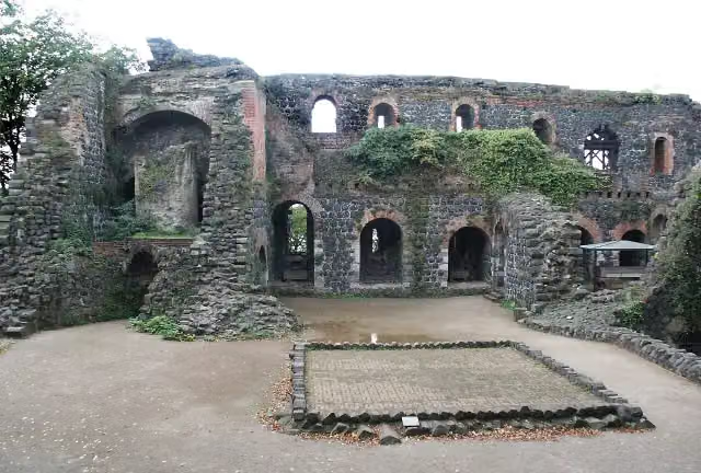
i
Photo: Wikimedia Commons · Wikimedia Commons · CC BY-SA 2.0 deView the photo on Wikimedia CommonsAttraction · after 56.3 km
i
Photo: Marek Gehrmann · Wikimedia Commons · CC BY-SA 4.0View the photo on Wikimedia CommonsMemorial · after 64.5 km
Elevation and terrain
- Up
- ↑ 147 m
- Down
- ↓ 120 m
- Highest point
- 61 m
- Lowest point
- 18 m
Nowhere steeper than 5%.
Elevation from Copernicus GLO-30 (European Union and ESA), smoothed.
produced using Copernicus WorldDEM-30 © DLR e.V. 2010-2014 and © Airbus Defence and Space GmbH 2014-2018 provided under COPERNICUS by the European Union and ESA; all rights reserved
Way types
166.9 km in total- Path: 95.5 km
- Street: 26.8 km
- Road: 13.6 km
- Cycle path: 12.2 km
- Footpath (walk your bike): 8 km
- Track: 4.3 km
- Busy road: 1.6 km
- Unknown: 4.6 km
Surfaces
166.9 km in total- Asphalt: 117 km
- Paved: 35.7 km
- Gravel: 11.1 km
- Unknown: 2.8 km
About the cycle route EuroVelo 3 - Pilgrim's Route - part Germany Rheinradweg
Updated on 14 November 2026, with data from OpenStreetMap, the AHN and Copernicus.
Where do you cycle?
EuroVelo 3 - Pilgrim's Route - part Germany Rheinradweg is a cycle route of 166.9 km that starts in Wesel. It does not end where it starts. Along the way you pass Fort Blücher (after 0 m), Museumsschiff "Oscar Huber" (after 32.5 km) and Schifferbörse (after 32.6 km).
How hard is the route?
You climb 147 m in total and descend 120 m. Allow ± 11:10 h, without breaks. The level is hard.
What roads do you cycle on?
The longest part is path (95.5 km), street (26.8 km) and road (13.6 km). Of the surface, 117 km asphalt and 35.7 km paved. For 2.8 km the surface is not known.
Pitstops along the way
Within 100 metres of the route there are 1,244 benches, 8 water fountains and refill points, 28 public toilets and 7 bike pumps. The longest stretch without a toilet is 35.4 km. The Outdoor Pitstop app navigates you there.
Part of EuroVelo 3 - Pilgrim's Route - part Germany
Website of the routeCycle routes nearby
6- Rhein-Route D8 [NRW]Hard · From A to B235.1 km
- EuroVelo 15 - Rheinradweg - Teilstrecke Köln - Grenze NiederlandeHard · From A to B192.3 km
- EuroVelo 3 - Pilgrim's Route - part Germany Römer-Lippe-RouteHard · From A to B68.3 km
- Pilgerroute NRWHard · From A to B492.7 km
- NiederRheinroute (Ost)Hard · From A to B391 km
- Rhein-Radweg [Niederrhein]Hard · From A to B86.6 km
Sights nearby
Within 10 km of the route, best known first.
- 1
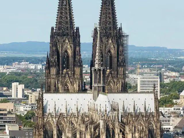 Cologne CathedralAttraction · 350 m from the route
- 2
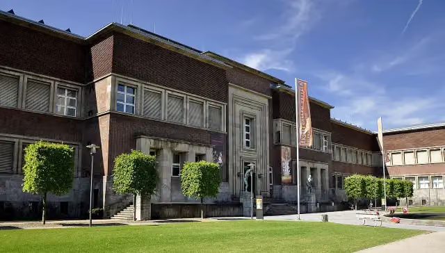 Museum KunstpalastMuseum · 397 m from the route
- 3
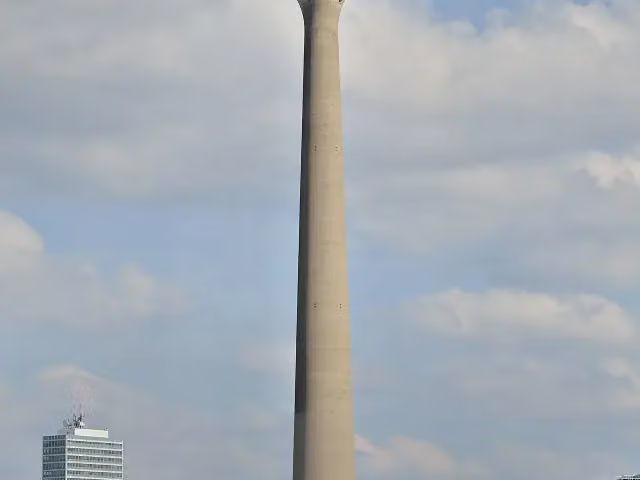 Rhine TowerViewpoint · 1.2 km from the route
- 4
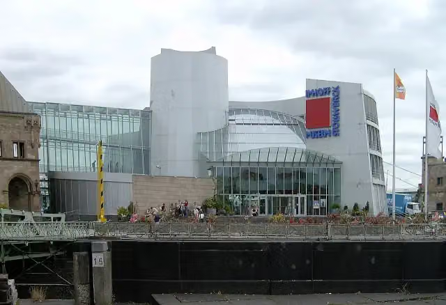 Chocolate MuseumMuseum · 460 m from the route
- 5
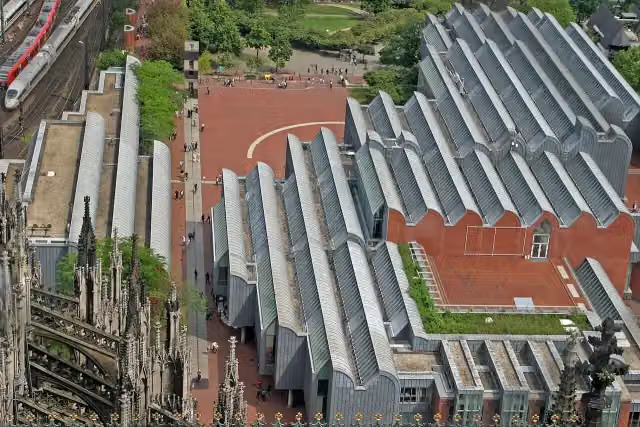 Museum LudwigMuseum · 217 m from the route
- 6
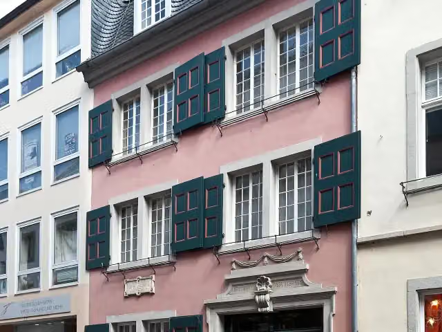 Beethoven HouseMuseum · 434 m from the route
- 7
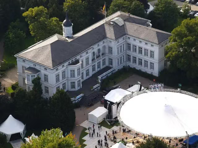 Palais SchaumburgAttraction · 301 m from the route
- 8
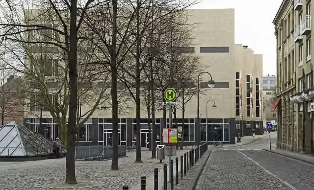 Wallraf-Richartz-Museum & Fondation CorboudMuseum · 346 m from the route
- 9
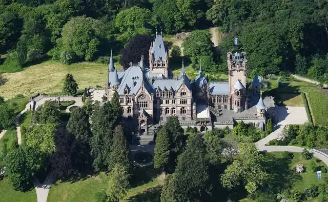 Schloß DrachenburgAttraction · 982 m from the route
- 10
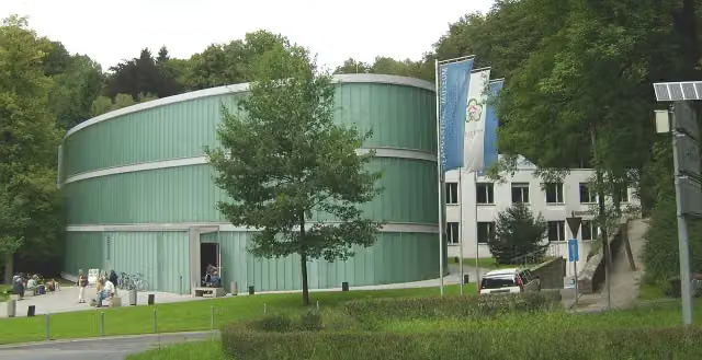 Neanderthal-MuseumMuseum · 9.8 km from the route
- 11
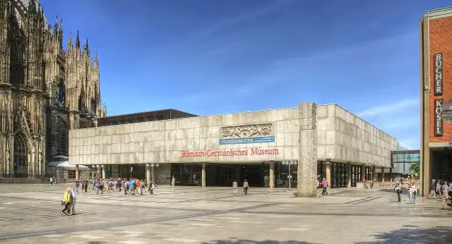 Romano-Germanic MuseumMuseum · 296 m from the route
- 12
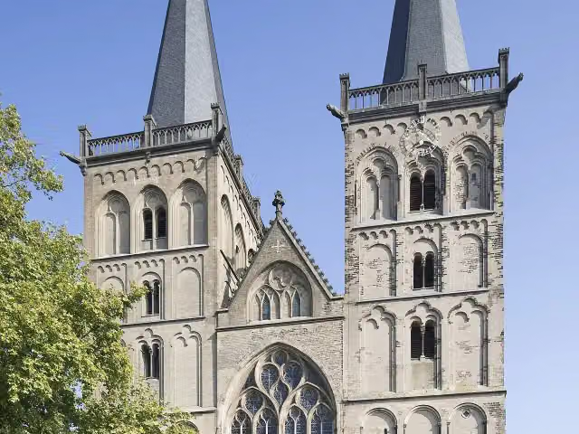 Xanten CathedralAttraction · 9.7 km from the route
- 13
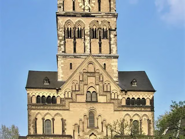 Quirinus-MünsterAttraction · 6.1 km from the route
- 14
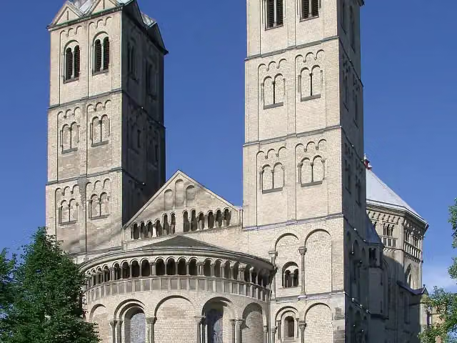 St. Gereon's BasilicaAttraction · 1.2 km from the route
- 15
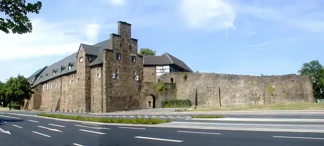 Broich CastleAttraction · 7.6 km from the route
- 16
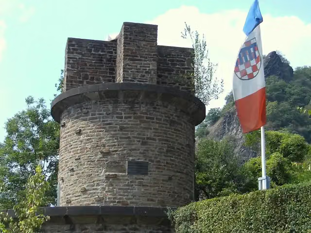 UlanendenkmalMemorial · 1.2 km from the route
- 17
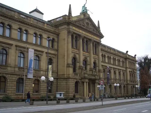 Museum Alexander KoenigMuseum · 349 m from the route
- 18
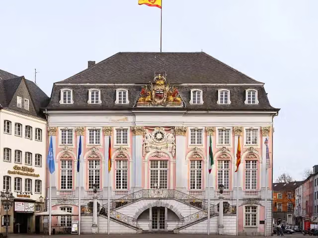 Altes RathausAttraction · 365 m from the route
- 19
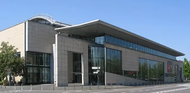 Haus der Geschichte der Bundesrepublik DeutschlandMuseum · 492 m from the route
- 20
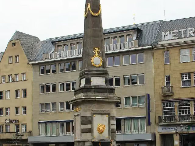 Market fountainAttraction · 421 m from the route
- 21
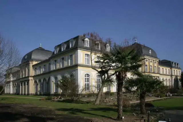 Poppelsdorf PalaceAttraction · 1.4 km from the route
- 22
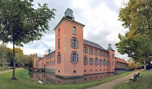 Schloss KalkumCastle · 1.5 km from the route
- 23
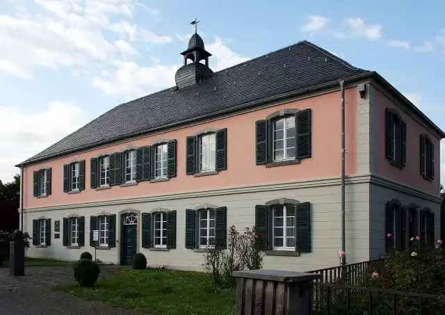 Schumannhaus und Schumann-GrabmalMuseum · 2.4 km from the route
- 24
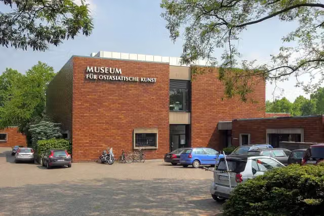 Museum für Ostasiatische KunstMuseum · 2.7 km from the route
- 25
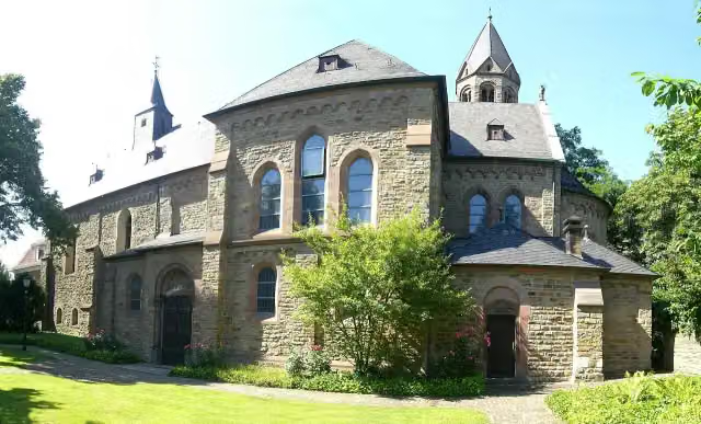 Saarn AbbeyAttraction · 9 km from the route
Explore more
More cycle routes around Wesel
More nearby
Frequently asked questions
How long is EuroVelo 3 - Pilgrim's Route - part Germany Rheinradweg?
EuroVelo 3 - Pilgrim's Route - part Germany Rheinradweg is 166.9 km long. Allow ± 11:10 h of riding: 15 km an hour, without breaks.
Is this route a circular ride?
No, the route starts and ends at different spots.
Where does this route start?
The route starts in Wesel.
How hard is this route?
Hard, with 147 m of climbing.
Are there toilets along this route?
Yes, there are 28 public toilets within 100 m of the route. The longest stretch without a toilet is 35.4 km.
Can you fill up with water along this route?
Yes, there are 8 water fountains and refill points within 100 m of the route.
What is there to see along this route?
Along the way you pass Fort Blücher, Museumsschiff "Oscar Huber" and Schifferbörse.
Can I download this route as a GPX file?
Yes. Sign in with your Outdoor Pitstop account and choose Download GPX at the top of this page: 10 routes a month for free, unlimited with Pro.
Starting point
More routes from this place
Route data © OpenStreetMap contributors





