 Outdoor Pitstop
Cycle route · Konstanz · Updated on 14 November 2026
EuroVelo 15 - Rheinradweg - Teilstrecke Konstanz - Stein am Rhein cycle route
EuroVelo 15 - Rheinradweg - Teilstrecke Konstanz - Stein am Rhein is a cycle route of 43.9 km from Konstanz. Along the way you'll find 358 benches, 13 water fountains and refill points, 23 public toilets, 11 bike pumps and 1 honesty box.
i
i
i
The route step by step
From start to finish, with what you pass along the way and the distance in between.
- 43.9 km
- ± 2:55 h
- ↑ 114 m · ↓ 107 m
- Moderate
- From A to B
- International route
- Colour of the signs
Start in Konstanz
0 kmAt the start: Archäologisches Landesmuseum, public toilet and bike pump.
293 m · 8 benches

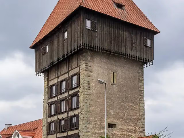
Rheintorturm
293 mAttraction
323 m · 9 benches
Bike pump
616 m211 m · 4 benches
Public toilet and bike pump
827 m1.1 km · 21 benches
Water point
1.9 km530 m · 4 benches
Bike pump
2.5 km1.3 km · 16 benches
Bike pump
3.8 km1.8 km · 6 benches
Honesty box
5.6 km5.5 km · 14 benches
Public toilet and bike pump
11.1 km251 m · 33 benches
2 public toilets
11.4 km5.6 km · 13 benches
2 water fountains and refill points and bike pump
17 km170 m · 5 benches
Public toilet
17.2 km2.9 km · 11 benches
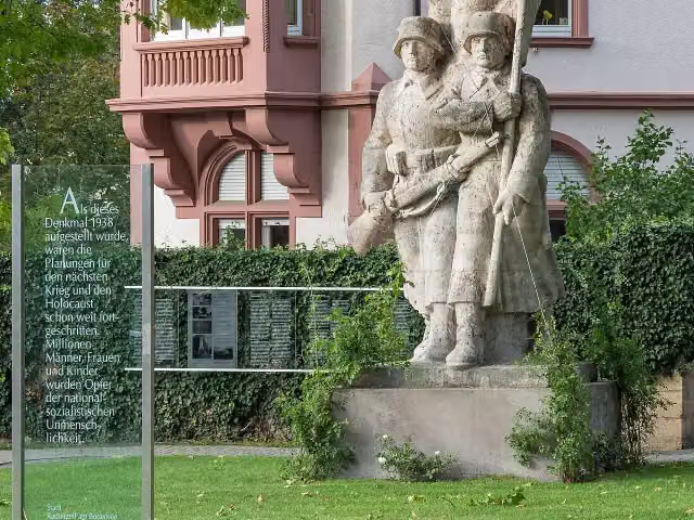
Kriegerdenkmal
20.1 kmMemorial
562 m · 34 benches
Public toilet
20.7 km221 m · 29 benches
2 public toilets and water point
20.9 km432 m · 41 benches
Public toilet
21.3 km347 m · 6 benches
Public toilet
21.7 km535 m
Water point
22.2 km2.5 km · 6 benches
Public toilet
24.7 km566 m · 4 benches
Observation tower
25.2 kmObservation tower
176 m · 2 benches
Public toilet and bike pump
25.4 km1.7 km · 11 benches
2 public toilets and bike pump
27.1 km2.5 km · 9 benches
Bike pump
29.6 km2.2 km · 3 benches
Public toilet and bike pump
31.8 km583 m · 4 benches
2 public toilets
32.4 km243 m
Public toilet and 8 water fountains and refill points
32.6 km3.2 km · 19 benches
Museum Haus Dix
35.8 kmMuseum
240 m · 4 benches
Public toilet
36.1 km684 m · bench
Schloss Marbach
36.8 kmCastle
2 km · 3 benches
Gedenkstätte Jakob Picard
38.8 kmMuseum
Show the other 4 steps
165 m · 11 benches
Museum Fischerhaus
39 kmPublic toilet
1.7 km · 13 benches
Schloss Kattenhorn
40.7 kmCastle
1.5 km · 3 benches
2 public toilets
42.2 km1.7 km · 11 benches
Finish
43.9 km
Longest stretch without a toilet: 10.4 kmBetween 827 m and 11.2 km there is no public toilet within 100 m of the route.
The route with the pitstops and sights within 100 m of it.
9 sights along the way
In the order you pass them. With the Outdoor Pitstop app you hear their story on the spot. 1 more along the route are on the map.

Museum · after 27 m
i
Photo: JoachimKohler-HB · Wikimedia Commons · CC BY-SA 4.0View the photo on Wikimedia CommonsAttraction · after 293 m
i
Photo: JoachimKohler-HB · Wikimedia Commons · CC BY-SA 4.0View the photo on Wikimedia CommonsMemorial · after 20.1 km
Observation tower · after 25.2 km
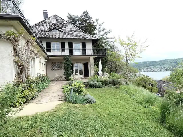
i
Photo: Catatine · Wikimedia Commons · CC BY-SA 4.0View the photo on Wikimedia CommonsMuseum · after 35.8 km
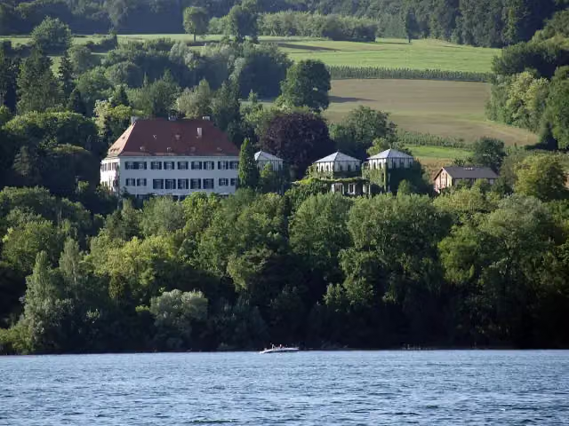
i
Photo: Karsten Meyer (Meyer-Konstanz) · Wikimedia Commons · CC BY-SA 3.0View the photo on Wikimedia CommonsCastle · after 36.8 km
Museum · after 38.8 km
Museum · after 39.1 km
Elevation and terrain
- Up
- ↑ 114 m
- Down
- ↓ 107 m
- Highest point
- 441 m
- Lowest point
- 397 m
- 5-10% slope · 441 m
Elevation from Copernicus GLO-30 (European Union and ESA), smoothed.
produced using Copernicus WorldDEM-30 © DLR e.V. 2010-2014 and © Airbus Defence and Space GmbH 2014-2018 provided under COPERNICUS by the European Union and ESA; all rights reserved
Way types
43.9 km in total- Path: 22 km
- Street: 10.1 km
- Track: 5.4 km
- Road: 4.2 km
- Cycle path: 1.5 km
- Busy road: 575 m
- Footpath (walk your bike): 75 m
Surfaces
43.9 km in total- Asphalt: 39.3 km
- Gravel: 4 km
- Paved: 475 m
About the cycle route EuroVelo 15 - Rheinradweg - Teilstrecke Konstanz - Stein am Rhein
Updated on 14 November 2026, with data from OpenStreetMap, the AHN and Copernicus.
Where do you cycle?
EuroVelo 15 - Rheinradweg - Teilstrecke Konstanz - Stein am Rhein is a cycle route of 43.9 km that starts in Konstanz. It does not end where it starts. Along the way you pass Archäologisches Landesmuseum (after 27 m), Rheintorturm (after 293 m) and Kriegerdenkmal (after 20.1 km).
How hard is the route?
You climb 114 m in total and descend 107 m. Allow ± 2:55 h, without breaks. The level is moderate.
What roads do you cycle on?
The longest part is path (22 km), street (10.1 km) and track (5.4 km). Of the surface, 39.3 km asphalt and 4 km gravel.
Pitstops along the way
Within 100 metres of the route there are 358 benches, 13 water fountains and refill points, 23 public toilets, 11 bike pumps and 1 honesty box. You can fill your bottle after 1.9 km, after 17 km, after 17.1 km, after 20.9 km, after 22.2 km and after 32.7 km. The longest stretch without a toilet is 10.4 km. The Outdoor Pitstop app navigates you there.
Part of EuroVelo 15 - Rhine Route - part Germany
Website of the routeCycle routes nearby
6Sights nearby
Within 10 km of the route, best known first.
- 1
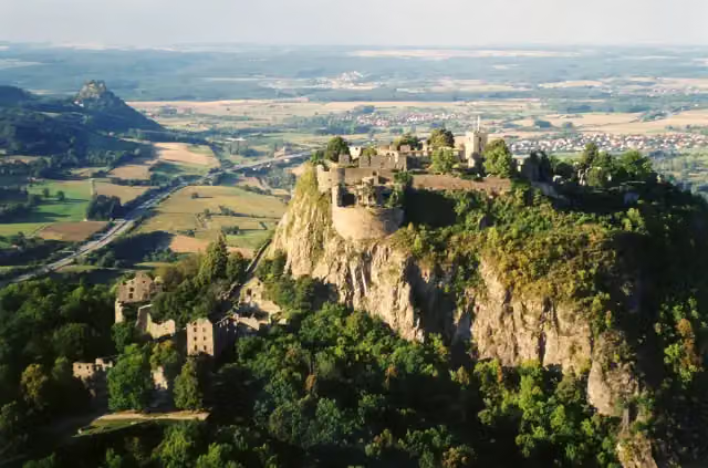 HohentwielViewpoint · 9.5 km from the route
- 2
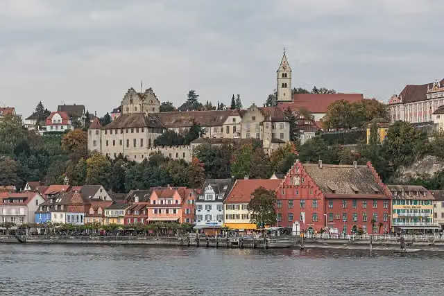 Burg MeersburgAttraction · 7.4 km from the route
- 3
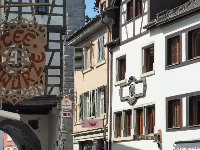 Hus-HausMuseum · 914 m from the route
- 4
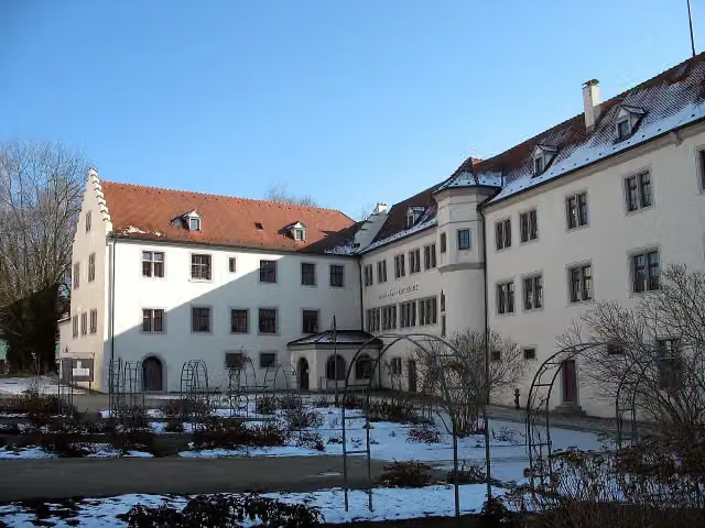 Petershausen AbbeyMuseum · 126 m from the route
- 5
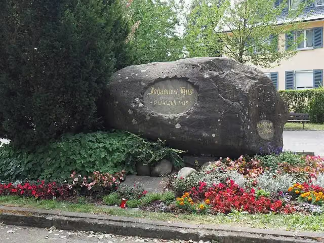 HussensteinMemorial · 995 m from the route
- 6
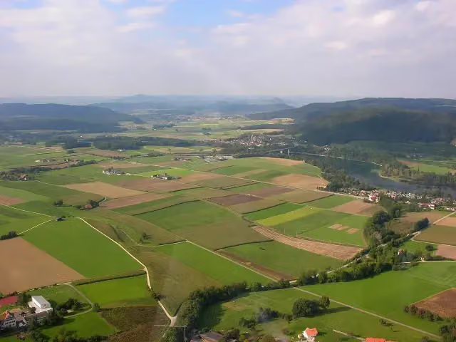 Ruine WolkensteinCastle · 3.4 km from the route
- 7
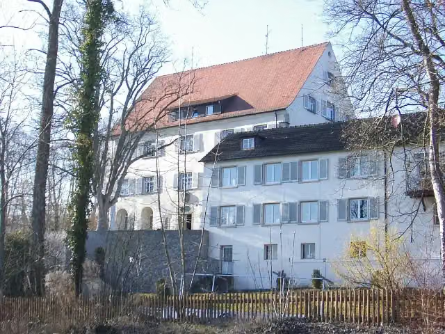 Schloss GaienhofenCastle · 125 m from the route
- 8
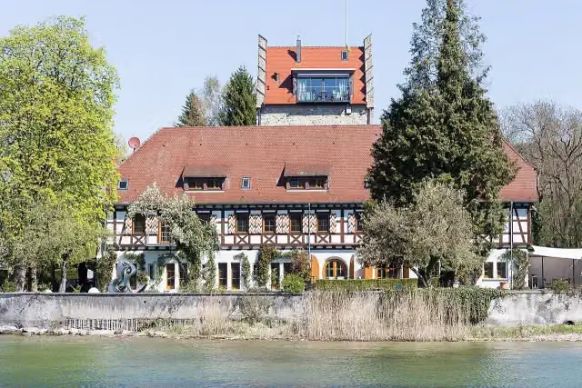 Burg OberstaadCastle · 254 m from the route
- 9
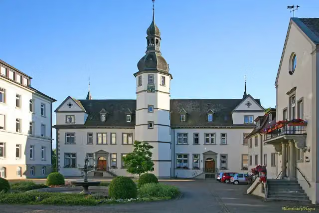 Schloss HegneCastle · 264 m from the route
- 10
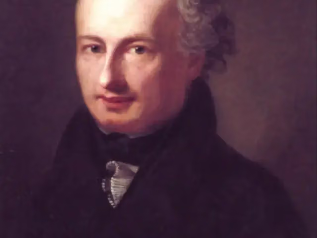 Städtische Wessenberg GalerieMuseum · 334 m from the route
- 11
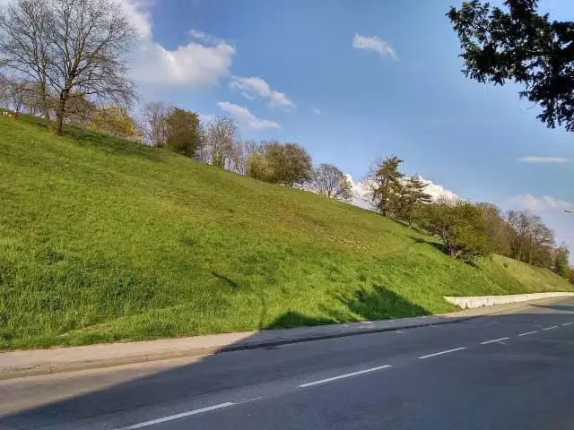 FürstenbergViewpoint · 420 m from the route
- 12
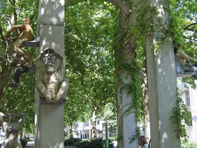 Triumphbogen / LaubebrunnenAttraction · 450 m from the route
- 13
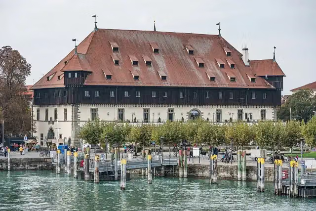 KonzilAttraction · 531 m from the route
- 14
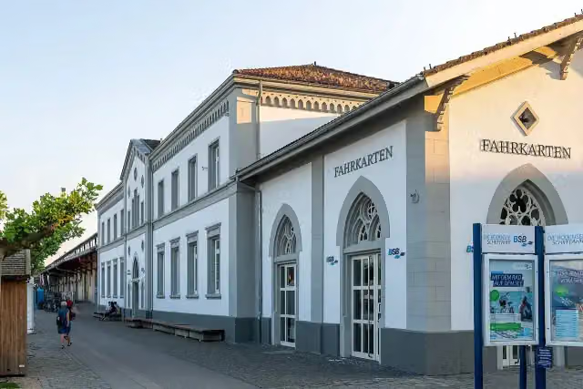 BSB KonstanzAttraction · 616 m from the route
- 15
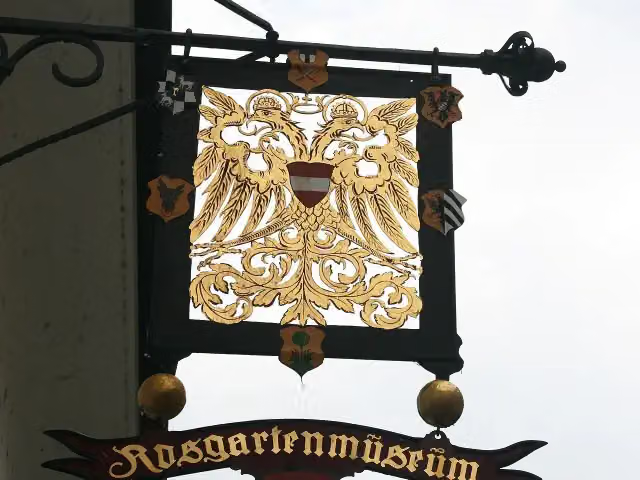 RosgartenmuseumMuseum · 697 m from the route
- 16
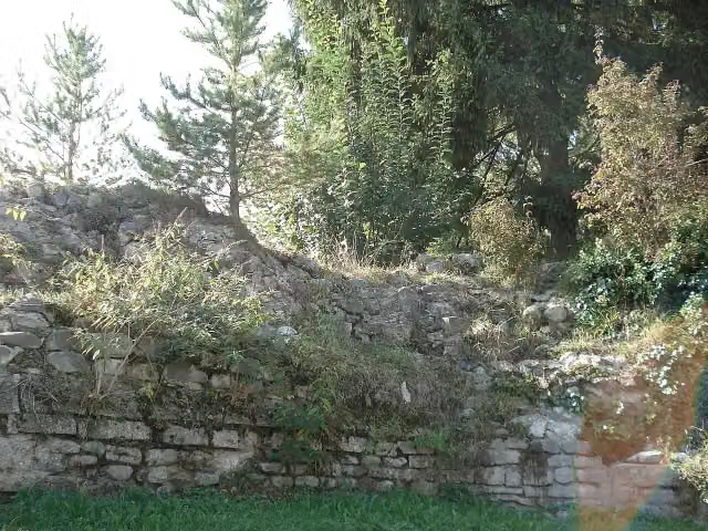 Römerkastell TasgetiumCastle · 813 m from the route
- 17
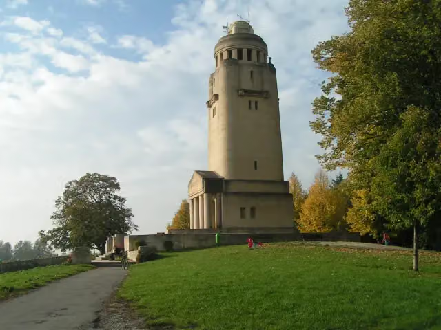 Bismarckturm KonstanzMonument · 813 m from the route
- 18
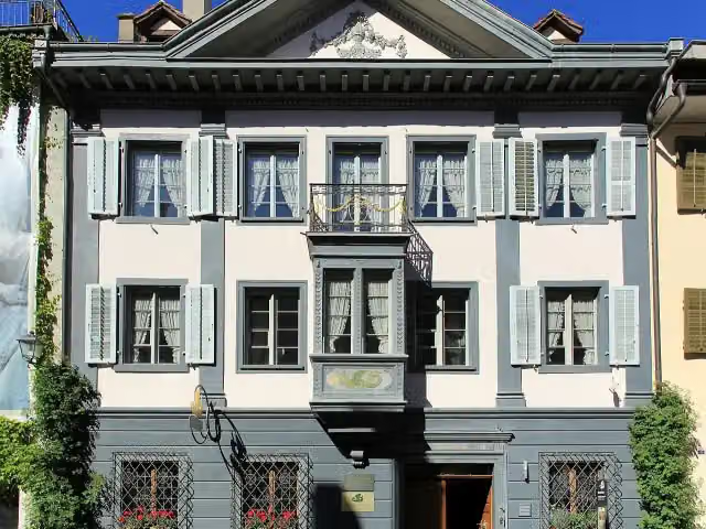 Museum LindwurmMuseum · 860 m from the route
- 19
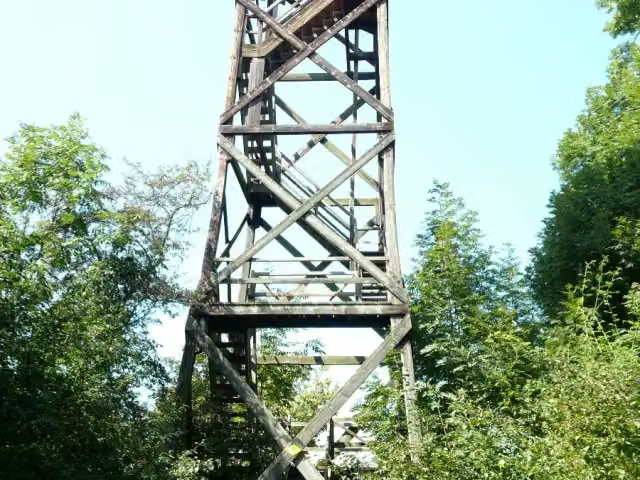 Mettnau-TurmObservation tower · 959 m from the route
- 20
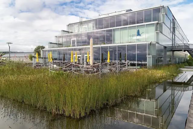 Bodensee-NaturmuseumMuseum · 981 m from the route
- 21
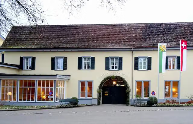 Schloss MammernCastle · 1.2 km from the route
- 22
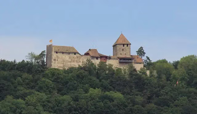 Burg HohenklingenCastle · 1.3 km from the route
- 23
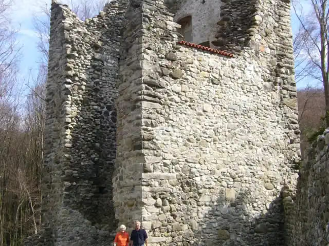 Ruine NeuburgCastle · 1.3 km from the route
- 24
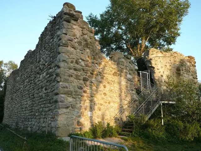 SchopflenCastle · 1.4 km from the route
- 25
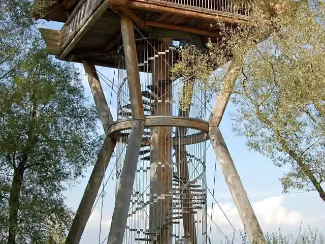 SeeburgturmObservation tower · 1.6 km from the route
Explore more
More cycle routes around Konstanz
Frequently asked questions
How long is EuroVelo 15 - Rheinradweg - Teilstrecke Konstanz - Stein am Rhein?
EuroVelo 15 - Rheinradweg - Teilstrecke Konstanz - Stein am Rhein is 43.9 km long. Allow ± 2:55 h of riding: 15 km an hour, without breaks.
Is this route a circular ride?
No, the route starts and ends at different spots.
Where does this route start?
The route starts in Konstanz.
How hard is this route?
Moderate, with 114 m of climbing.
Are there toilets along this route?
Yes, there are 23 public toilets within 100 m of the route. The longest stretch without a toilet is 10.4 km.
Can you fill up with water along this route?
Yes, there are 13 water fountains and refill points within 100 m of the route.
What is there to see along this route?
Along the way you pass Archäologisches Landesmuseum, Rheintorturm and Kriegerdenkmal.
Can I download this route as a GPX file?
Yes. Sign in with your Outdoor Pitstop account and choose Download GPX at the top of this page: 10 routes a month for free, unlimited with Pro.
Starting point
More routes from this place
Route data © OpenStreetMap contributors





