 Outdoor Pitstop
Cycle route · Kamp-Bornhofen · Updated on 14 November 2026
EuroVelo 15 - Rheinradweg - Teilstrecke Kamp-Bornhofen - Köln cycle route
EuroVelo 15 - Rheinradweg - Teilstrecke Kamp-Bornhofen - Köln is a cycle route of 130.6 km from Kamp-Bornhofen. Along the way you'll find 1,175 benches, 4 water fountains and refill points, 26 public toilets and 10 bike pumps.
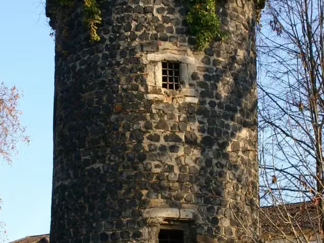
i
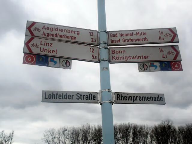
i
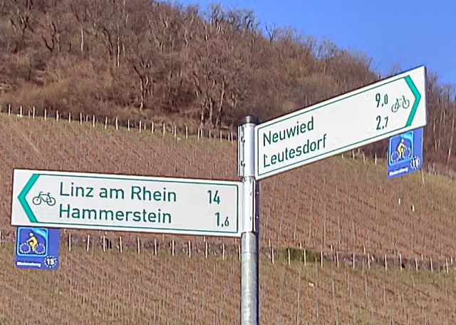
i
The route step by step
From start to finish, with what you pass along the way and the distance in between.
- 130.6 km
- ± 8:45 h
- ↑ 161 m · ↓ 183 m
- Hard
- From A to B
- International route
- Colour of the signs
Start in Kamp-Bornhofen
0 kmAt the start: public toilet.
1.9 km · 5 benches
Public toilet
1.9 km6.2 km · 22 benches

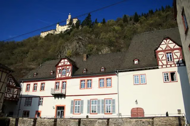
Burg Osterspai
8 kmCastle
327 m
Public toilet
8.4 km182 m · 6 benches
Bike pump
8.6 km4.7 km · 5 benches
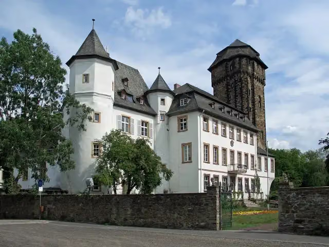
Philippsburg
13.3 kmPublic toilet
391 m · 40 benches
Public toilet and bike pump
13.7 km3.2 km · 29 benches
Water point
16.8 km877 m · 5 benches
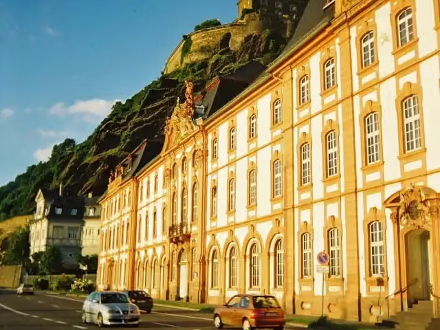
Schloss Martinsburg
17.7 kmAttraction
186 m · 12 benches
Public toilet
17.9 km400 m · 7 benches
Public toilet
18.3 km639 m
Bike pump
18.9 km233 m · 7 benches
Baareschesser
19.2 kmPublic toilet
300 m · 11 benches
Public toilet
19.5 km7.1 km · 103 benches
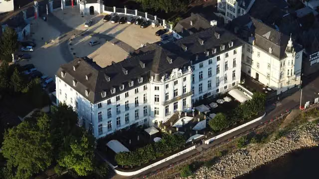
Dikasterialgebäude
26.6 kmCastle
4.2 km · 6 benches
Water point
30.8 km6.5 km · 2 benches
Schloss Engers
37.3 kmCastle
5.3 km · 12 benches
Observation tower
42.6 kmObservation tower
237 m
Public toilet
42.8 km2 km · 15 benches
Level tower
44.8 kmObservation tower
502 m · 3 benches
Schloss Neuwied
45.3 kmBike pump
3.3 km · 18 benches
Gedenkstein Schloss Friedrichstein
48.5 kmMemorial
3 km · 14 benches
Leutesdorfer Dorfmuseum
51.5 kmMuseum
493 m · 5 benches
Schloss Marienburg
52 kmCastle
9.3 km · 70 benches
Public toilet
61.3 km233 m · 15 benches
Public toilet
61.6 km6.2 km · 37 benches
Pulverturm
67.7 kmPublic toilet
213 m · 22 benches
Rheintor and 1 more
68 kmBurg Linz and public toilet
1.2 km · 31 benches
Burg Ockenfels and 1 more
69.2 kmObservation tower
6.3 km · 75 benches
Willy-Brandt-Forum
75.5 kmMuseum
Show the other 24 steps
2.2 km · 17 benches
Public toilet
77.7 km3.2 km · 8 benches
Bike pump
80.9 km3.8 km · 32 benches
Siebengebirgsmuseum
84.8 kmPublic toilet and water point
2.6 km · 66 benches
Bike pump
87.4 km3.2 km · 69 benches
Public toilet
90.6 km2.3 km · 20 benches
Public toilet
92.9 km1.2 km · 38 benches
Brückenmännchen
94.1 kmMemorial
277 m · 24 benches
Public toilet
94.4 km388 m · 4 benches
Kriegerdenkmal
94.8 kmMemorial
723 m · 18 benches
Wolfsburg
95.5 kmCastle
3.4 km · 24 benches
Siegfähre
98.9 kmAttraction
3.2 km · 25 benches
Public toilet
102.1 km822 m · 11 benches
Bike pump
102.9 km2.3 km · 22 benches
Bike pump
105.2 km2.3 km · 18 benches
Water point
107.5 km231 m · 7 benches
Bike pump
107.7 km3.5 km · 9 benches
Burg Lülsdorf
111.2 kmCastle
1.6 km · 6 benches
Bike pump
112.8 km7.2 km · 34 benches
2 public toilets
120 km6.8 km · 94 benches
Public toilet
126.8 km1.9 km · 10 benches
Public toilet
128.7 km835 m · 13 benches
Public toilet
129.5 km882 m · 22 benches
Public toilet
130.4 km253 m · 7 benches
Finish
130.6 km
Longest stretch without a toilet: 23.3 kmBetween 19.5 km and 42.8 km there is no public toilet within 100 m of the route.
The route with the pitstops and sights within 100 m of it.
24 sights along the way
In the order you pass them. With the Outdoor Pitstop app you hear their story on the spot. 16 more along the route are on the map.
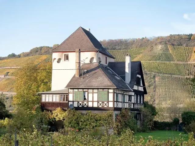
i
Photo: Rolf Kranz · Wikimedia Commons · CC BY-SA 4.0View the photo on Wikimedia CommonsCastle · after 8 km
i
Photo: Renate007 · Wikimedia Commons · CC BY-SA 4.0View the photo on Wikimedia CommonsCastle · after 13.3 km
i
Photo: Holger Weinandt · Wikimedia Commons · CC BY-SA 3.0 deView the photo on Wikimedia CommonsAttraction · after 17.7 km

Memorial · after 19.2 km
i
Photo: Shomat at English Wikipedia · Wikimedia Commons · CC BY-SA 3.0View the photo on Wikimedia CommonsCastle · after 26.6 km
i
Photo: Wolkenkratzer · Wikimedia Commons · CC BY-SA 3.0View the photo on Wikimedia CommonsCastle · after 37.3 km
Observation tower · after 42.6 km
Observation tower · after 44.8 km
Elevation and terrain
- Up
- ↑ 161 m
- Down
- ↓ 183 m
- Highest point
- 92 m
- Lowest point
- 44 m
Nowhere steeper than 5%.
Elevation from Copernicus GLO-30 (European Union and ESA), smoothed.
produced using Copernicus WorldDEM-30 © DLR e.V. 2010-2014 and © Airbus Defence and Space GmbH 2014-2018 provided under COPERNICUS by the European Union and ESA; all rights reserved
Way types
130.6 km in total- Path: 58.2 km
- Street: 33 km
- Road: 13.4 km
- Cycle path: 11 km
- Footpath (walk your bike): 6.6 km
- Track: 6.1 km
- Busy road: 2.1 km
Surfaces
130.6 km in total- Asphalt: 105.4 km
- Paved: 18.5 km
- Gravel: 4.2 km
- Unpaved: 75 m
- Unknown: 2.2 km
About the cycle route EuroVelo 15 - Rheinradweg - Teilstrecke Kamp-Bornhofen - Köln
Updated on 14 November 2026, with data from OpenStreetMap, the AHN and Copernicus.
Where do you cycle?
EuroVelo 15 - Rheinradweg - Teilstrecke Kamp-Bornhofen - Köln is a cycle route of 130.6 km that starts in Kamp-Bornhofen. It does not end where it starts. Along the way you pass Burg Osterspai (after 8 km), Philippsburg (after 13.3 km) and Schloss Martinsburg (after 17.7 km).
How hard is the route?
You climb 161 m in total and descend 183 m. Allow ± 8:45 h, without breaks. The level is hard.
What roads do you cycle on?
The longest part is path (58.2 km), street (33 km) and road (13.4 km). Of the surface, 105.4 km asphalt and 18.5 km paved. For 2.2 km the surface is not known.
Pitstops along the way
Within 100 metres of the route there are 1,175 benches, 4 water fountains and refill points, 26 public toilets and 10 bike pumps. You can fill your bottle after 16.8 km, after 30.8 km, after 84.8 km and after 107.5 km. The longest stretch without a toilet is 23.3 km. The Outdoor Pitstop app navigates you there.
Cycle routes nearby
6- Rhein-Route D8 [Rheinland-Pfalz]Hard · From A to B325.2 km
- EuroVelo 15 - Rheinradweg - Teilstrecke Bingen - KölnHard · From A to B171.6 km
- Saar-Mosel-Main [Koblenz - Mainz]Hard · From A to B100.9 km
- EV4 Germany, Koblenz - FrankfurtHard · From A to B136.5 km
- Schinderhannes Untermosel RadwegEasy · From A to B21.1 km
- Schinderhannes-RadwegModerate · From A to B36.9 km
Sights nearby
Within 10 km of the route, best known first.
- 1
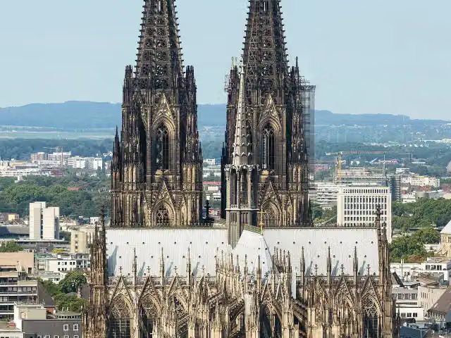 Cologne CathedralAttraction · 1.8 km from the route
- 2
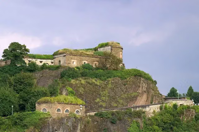 Ehrenbreitstein FortressCastle · 279 m from the route
- 3
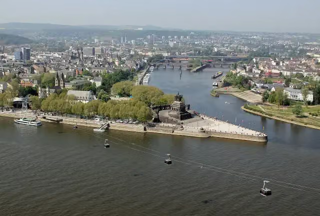 Deutsches EckViewpoint · 308 m from the route
- 4
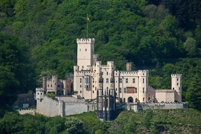 Schloss StolzenfelsCastle · 722 m from the route
- 5
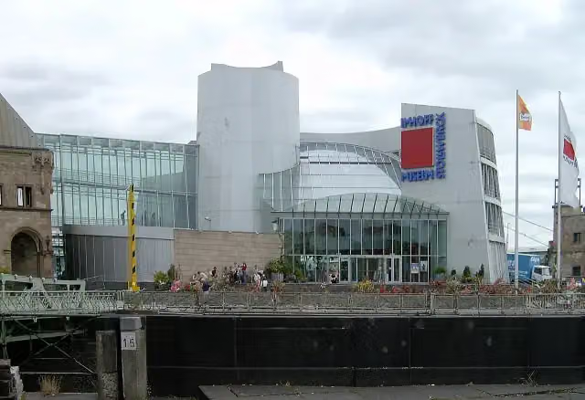 Chocolate MuseumMuseum · 759 m from the route
- 6
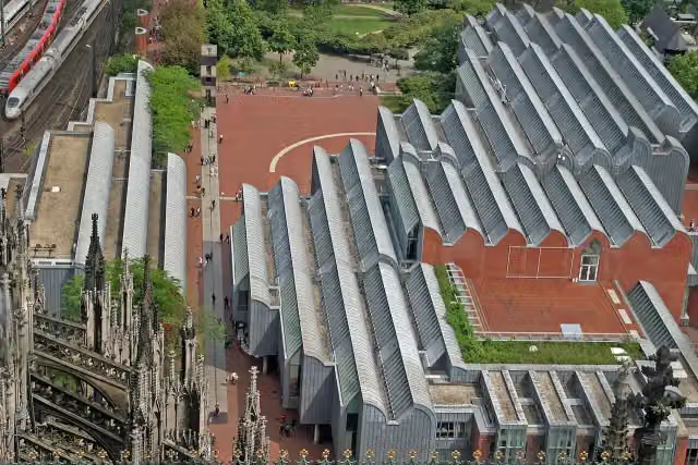 Museum LudwigMuseum · 1.7 km from the route
- 7
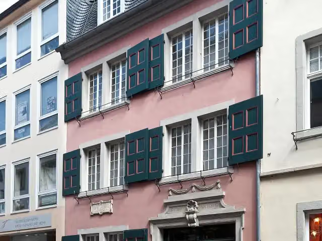 Beethoven HouseMuseum · 865 m from the route
- 8
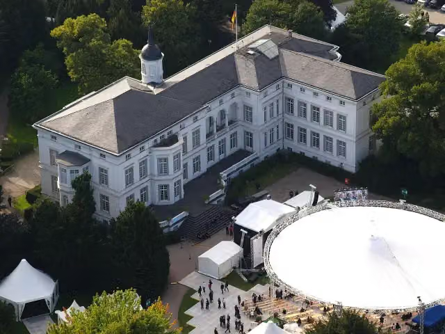 Palais SchaumburgAttraction · 774 m from the route
- 9
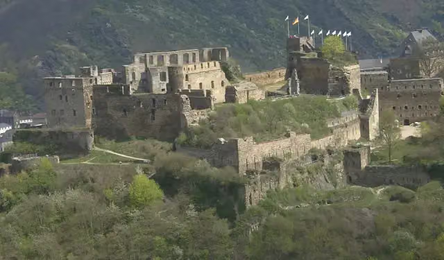 Rheinfels CastleCastle · 8.5 km from the route
- 10
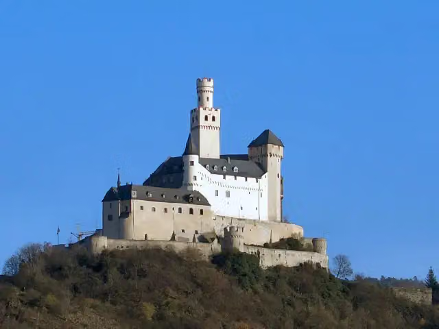 MarksburgMuseum · 244 m from the route
- 11
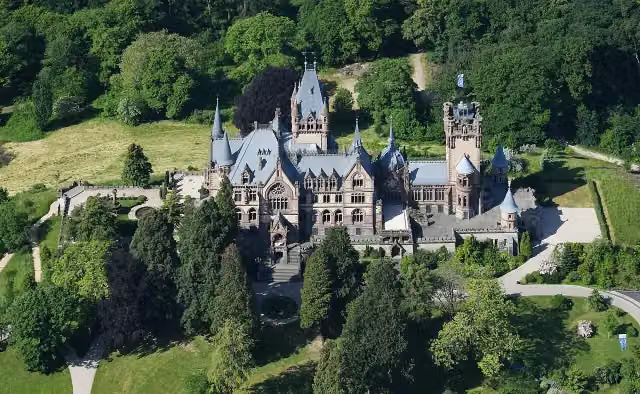 Schloß DrachenburgAttraction · 544 m from the route
- 12
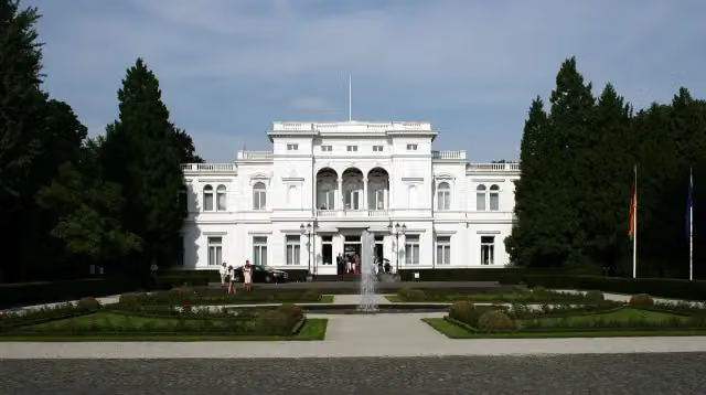 Villa HammerschmidtAttraction · 556 m from the route
- 13
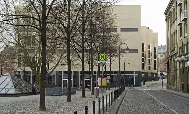 Wallraf-Richartz-Museum & Fondation CorboudMuseum · 1.5 km from the route
- 14
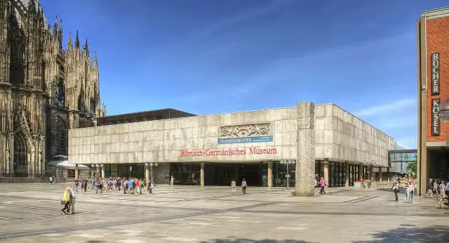 Romano-Germanic MuseumMuseum · 1.7 km from the route
- 15
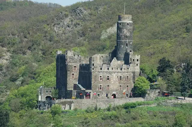 Maus CastleCastle · 6.6 km from the route
- 16
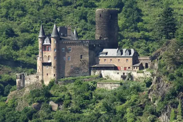 Katz CastleCastle · 9.6 km from the route
- 17
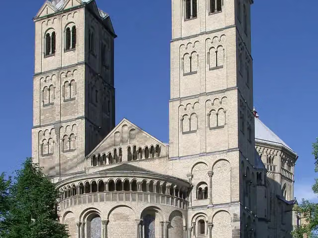 St. Gereon's BasilicaAttraction · 2.6 km from the route
- 18
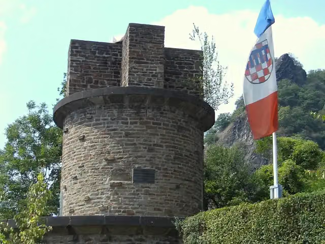 UlanendenkmalMemorial · 356 m from the route
- 19
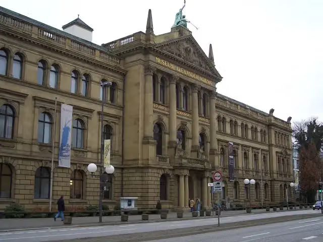 Museum Alexander KoenigMuseum · 804 m from the route
- 20
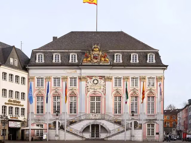 Altes RathausAttraction · 768 m from the route
- 21
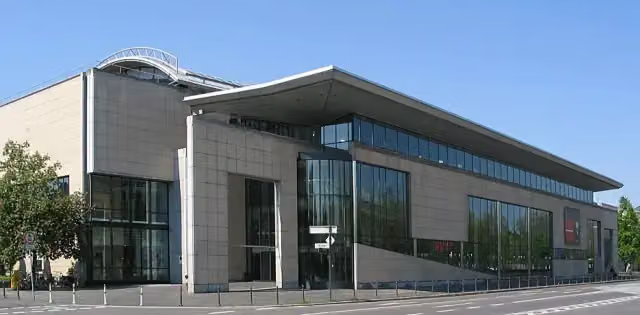 Haus der Geschichte der Bundesrepublik DeutschlandMuseum · 993 m from the route
- 22
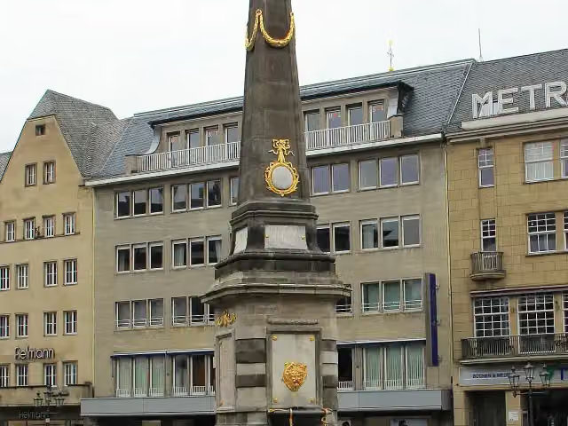 Market fountainAttraction · 830 m from the route
- 23
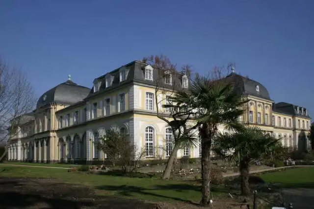 Poppelsdorf PalaceAttraction · 1.9 km from the route
- 24
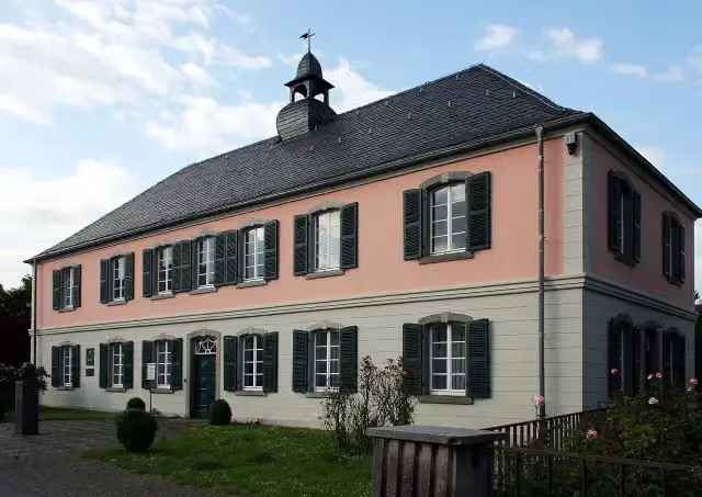 Schumannhaus und Schumann-GrabmalMuseum · 2.8 km from the route
- 25
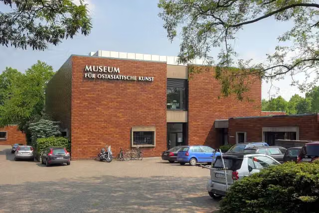 Museum für Ostasiatische KunstMuseum · 3.4 km from the route
Explore more
More cycle routes around Kamp-Bornhofen
Frequently asked questions
How long is EuroVelo 15 - Rheinradweg - Teilstrecke Kamp-Bornhofen - Köln?
EuroVelo 15 - Rheinradweg - Teilstrecke Kamp-Bornhofen - Köln is 130.6 km long. Allow ± 8:45 h of riding: 15 km an hour, without breaks.
Is this route a circular ride?
No, the route starts and ends at different spots.
Where does this route start?
The route starts in Kamp-Bornhofen.
How hard is this route?
Hard, with 161 m of climbing.
Are there toilets along this route?
Yes, there are 26 public toilets within 100 m of the route. The longest stretch without a toilet is 23.3 km.
Can you fill up with water along this route?
Yes, there are 4 water fountains and refill points within 100 m of the route.
What is there to see along this route?
Along the way you pass Burg Osterspai, Philippsburg and Schloss Martinsburg.
Can I download this route as a GPX file?
Yes. Sign in with your Outdoor Pitstop account and choose Download GPX at the top of this page: 10 routes a month for free, unlimited with Pro.
Starting point
More routes from this place
Route data © OpenStreetMap contributors





