 Outdoor Pitstop
Cycle route · Koblenz · Updated on 14 November 2026
Saar-Mosel-Main [Koblenz - Mainz] cycle route
Saar-Mosel-Main [Koblenz - Mainz] is a cycle route of 100.9 km from Koblenz. Along the way you'll find 773 benches, 8 water fountains and refill points, 26 public toilets and 8 bike pumps.
i
i
i
The route step by step
From start to finish, with what you pass along the way and the distance in between.
- 100.9 km
- ± 6:45 h
- ↑ 125 m · ↓ 110 m
- Hard
- From A to B
- National route
Start in Koblenz
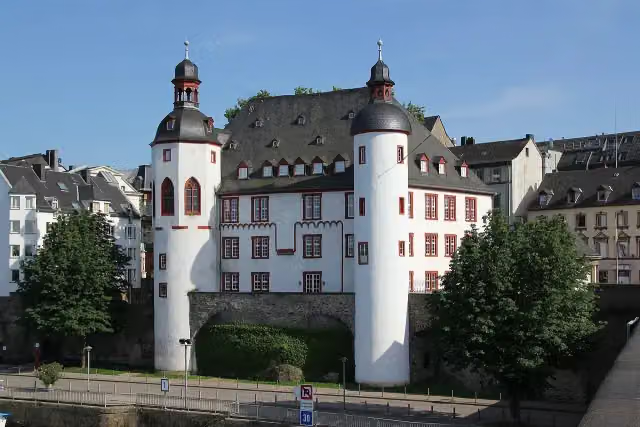
0 kmAt the start: Alte Burg.
260 m · 13 benches

Augenroller and 1 more
260 mFlorinskirche
335 m · 18 benches
Peter-Altmeier-Denkmal and 1 more
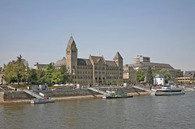
595 mKastorbrunnen
213 m · 7 benches
Kaiser-Wilhelm-Denkmal
808 mPublic toilet
165 m · 5 benches
Ludwig-Museum im Deutschherrenhaus
973 mMuseum
237 m · 15 benches
2 public toilets
1.2 km199 m · bench
Schiffbrücke Koblenz-Ehrenbreitstein and 1 more
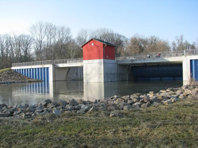
1.4 kmPegelhaus
456 m · 10 benches
Koblenzer Sektmuseum
1.9 kmMuseum
395 m · 8 benches
Bike pump
2.3 km1.3 km · 20 benches
Public toilet
3.5 km289 m · 5 benches
Kaiserin-Augusta-Denkmal
3.8 kmMemorial
2.2 km · 23 benches
Water point
6 km186 m
Public toilet
6.2 km4.9 km · 21 benches
Water point
11.1 km1.1 km · 19 benches
Public toilet
12.2 km306 m · 7 benches
Bike pump
12.5 km3.9 km · 23 benches
Public toilet
16.4 km6.8 km · 20 benches
Public toilet
23.2 km1.1 km · 26 benches
St Severus Kirche
24.3 kmPublic toilet
14.1 km · 113 benches
Public toilet
38.4 km324 m · 11 benches
Stiftskirche St. Goar
38.7 kmAttraction
341 m · 15 benches
Public toilet and water point
39.1 km215 m · 4 benches
Public toilet
39.3 km5.2 km · 10 benches
Ochsenturm
44.5 kmAttraction
589 m · 4 benches
Public toilet and bike pump
45.1 km182 m · 4 benches
Public toilet
45.3 km808 m · 8 benches
Public toilet
46.1 km5.6 km · 12 benches
Public toilet
51.7 km8.1 km · 50 benches
Bike pump
59.9 km801 m · 11 benches
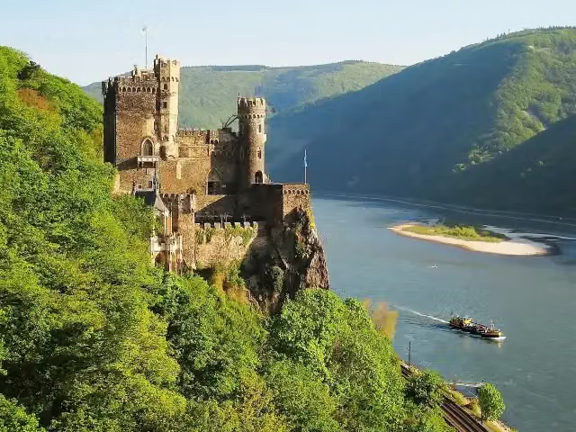
Burg Reichenstein
60.7 kmCastle
Show the other 16 steps
202 m · 3 benches
Water point
60.9 km1.2 km · 3 benches
Burg Rheinstein
62.1 kmPublic toilet
3.9 km · 3 benches
Public toilet and bike pump
66 km840 m · 60 benches
Eisweindenkmal
66.8 km2 public toilets and bike pump
257 m · 47 benches
Alter Binger Rheinkran
67.1 kmAttraction
2.7 km · 27 benches
Public toilet
69.8 km202 m · bench
Ruine Hindenburgbrücke
70 kmRuins
219 m
Ruine Hindenburgbrücke
70.2 kmRuins
7.8 km · 13 benches
Public toilet and bike pump
78 km12.5 km · 29 benches
2 water fountains and refill points
90.4 km220 m · bench
Public toilet and 2 water fountains and refill points
90.6 km640 m · 6 benches
Public toilet and bike pump
91.3 km8.4 km · 20 benches
Kunsthalle Mainz
99.7 kmMuseum
302 m · 9 benches
Public toilet
100 km434 m · 54 benches
Public toilet
100.4 km525 m · 12 benches
Finish
100.9 km
Longest stretch without a toilet: 14.1 kmBetween 24.3 km and 38.4 km there is no public toilet within 100 m of the route.
The route with the pitstops and sights within 100 m of it.
21 sights along the way
In the order you pass them. With the Outdoor Pitstop app you hear their story on the spot. 13 more along the route are on the map.
i
Photo: Holger Weinandt · Wikimedia Commons · CC BY-SA 3.0 deView the photo on Wikimedia CommonsCastle · after 62 m

Attraction · after 260 m
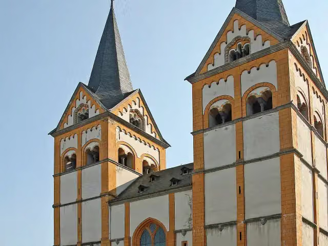
i
Photo: W. Bulach · Wikimedia Commons · CC BY-SA 4.0View the photo on Wikimedia CommonsAttraction · after 292 m
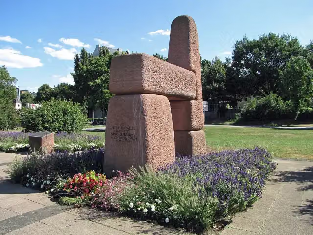
i
Photo: Holger Weinandt · Wikimedia Commons · CC BY-SA 3.0 deView the photo on Wikimedia CommonsMemorial · after 595 m
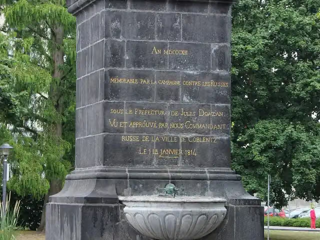
i
Photo: Lothar Spurzem · Wikimedia Commons · CC BY-SA 2.0 deView the photo on Wikimedia CommonsMemorial · after 721 m
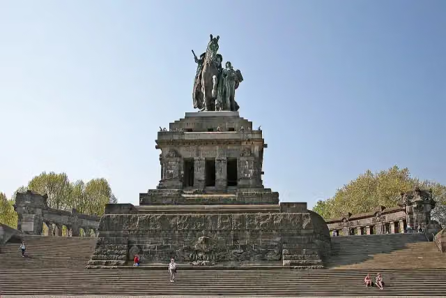
i
Photo: W. Bulach · Wikimedia Commons · CC BY-SA 4.0View the photo on Wikimedia CommonsAttraction · after 878 m
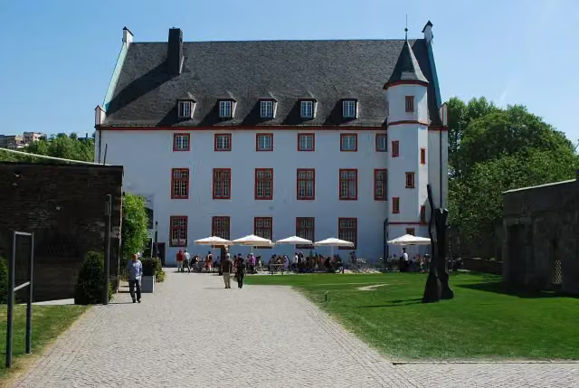
i
Photo: Jean Housen · Wikimedia Commons · CC BY-SA 3.0View the photo on Wikimedia CommonsMuseum · after 973 m
Memorial · after 1.4 km
Elevation and terrain
- Up
- ↑ 125 m
- Down
- ↓ 110 m
- Highest point
- 95 m
- Lowest point
- 64 m
Nowhere steeper than 5%.
Elevation from Copernicus GLO-30 (European Union and ESA), smoothed.
produced using Copernicus WorldDEM-30 © DLR e.V. 2010-2014 and © Airbus Defence and Space GmbH 2014-2018 provided under COPERNICUS by the European Union and ESA; all rights reserved
Way types
100.9 km in total- Path: 47.8 km
- Track: 21.8 km
- Street: 17 km
- Busy road: 6.6 km
- Footpath (walk your bike): 3.6 km
- Road: 3.1 km
- Cycle path: 850 m
Surfaces
100.9 km in total- Asphalt: 80.1 km
- Paved: 16.5 km
- Gravel: 4 km
- Unknown: 125 m
About the cycle route Saar-Mosel-Main [Koblenz - Mainz]
Updated on 14 November 2026, with data from OpenStreetMap, the AHN and Copernicus.
Where do you cycle?
Saar-Mosel-Main [Koblenz - Mainz] is a cycle route of 100.9 km that starts in Koblenz. It does not end where it starts. You start in Koblenz and finish in Mainz. Along the way you pass Alte Burg (after 62 m), Augenroller (after 260 m) and Florinskirche (after 292 m).
How hard is the route?
You climb 125 m in total and descend 110 m. Allow ± 6:45 h, without breaks. The level is hard.
What roads do you cycle on?
The longest part is path (47.8 km), track (21.8 km) and street (17 km). Of the surface, 80.1 km asphalt and 16.5 km paved. For 125 m the surface is not known.
Pitstops along the way
Within 100 metres of the route there are 773 benches, 8 water fountains and refill points, 26 public toilets and 8 bike pumps. The longest stretch without a toilet is 14.1 km. The Outdoor Pitstop app navigates you there.
Part of Radroute Saar-Mosel-Main
Cycle routes nearby
6- Mosel-RadwegHard · From A to B247.4 km
- Rhein-Route D8 [Rheinland-Pfalz]Hard · From A to B325.2 km
- Saar-Mosel-Main [Trier - Koblenz]Hard · From A to B206.1 km
- EuroVelo 15 - Rheinradweg - Teilstrecke Bingen - KölnHard · From A to B171.6 km
- Radweg Deutsche Einheit - Etappe 1Hard · From A to B73 km
- EV4 Germany, Köln - KoblenzHard · From A to B107.5 km
Sights nearby
Within 10 km of the route, best known first.
- 1
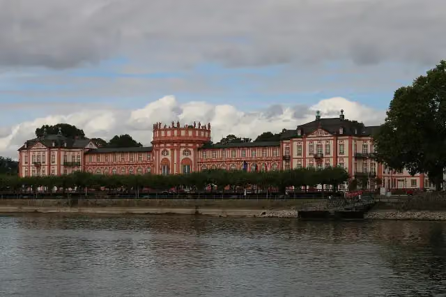 Biebrich PalaceAttraction · 1.4 km from the route
- 2
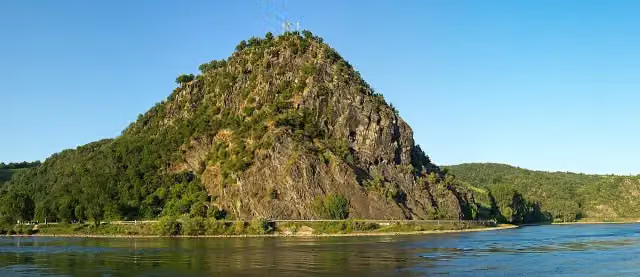 LoreleiAttraction · 255 m from the route
- 3
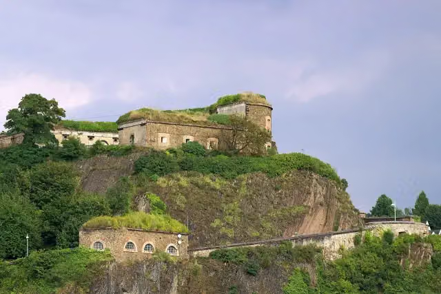 Ehrenbreitstein FortressCastle · 681 m from the route
- 4
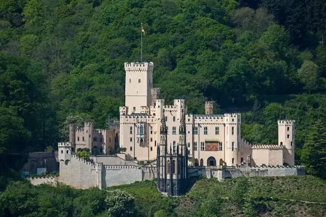 Schloss StolzenfelsCastle · 157 m from the route
- 5
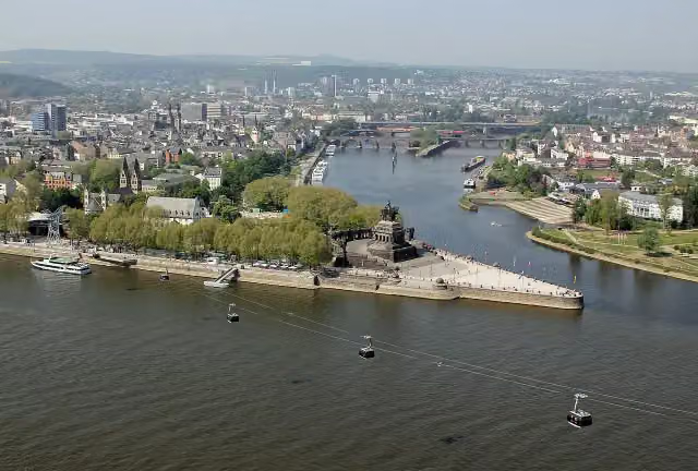 Deutsches EckViewpoint · 231 m from the route
- 6
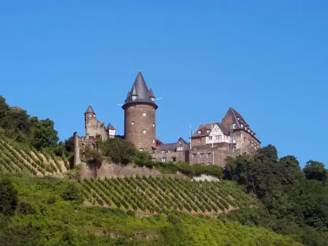 Burg StahleckCastle · 281 m from the route
- 7
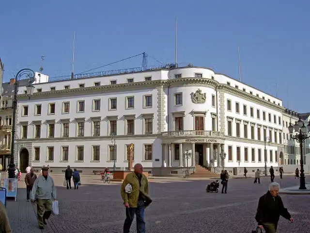 Stadtschloss WiesbadenCastle · 6.3 km from the route
- 8
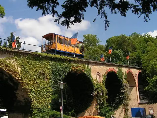 NerotalAttraction · 7.4 km from the route
- 9
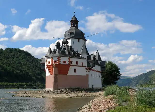 Pfalzgrafenstein CastleAttraction · 203 m from the route
- 10
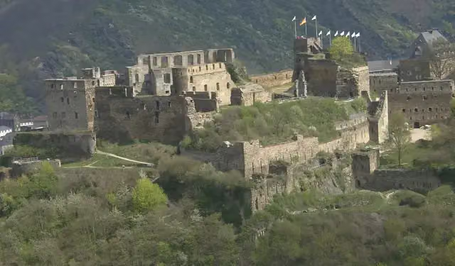 Rheinfels CastleCastle · 157 m from the route
- 11
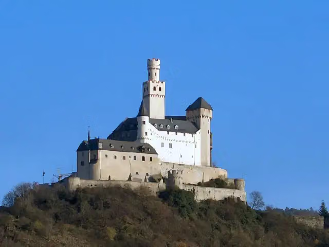 MarksburgMuseum · 817 m from the route
- 12
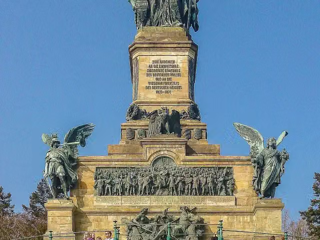 NiederwalddenkmalAttraction · 1.2 km from the route
- 13
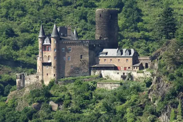 Katz CastleCastle · 445 m from the route
- 14
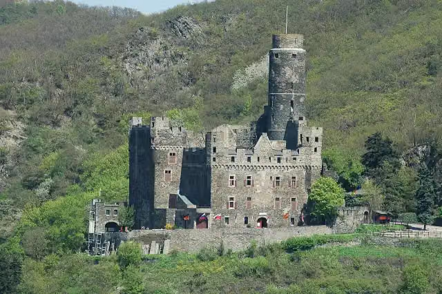 Maus CastleCastle · 636 m from the route
- 15
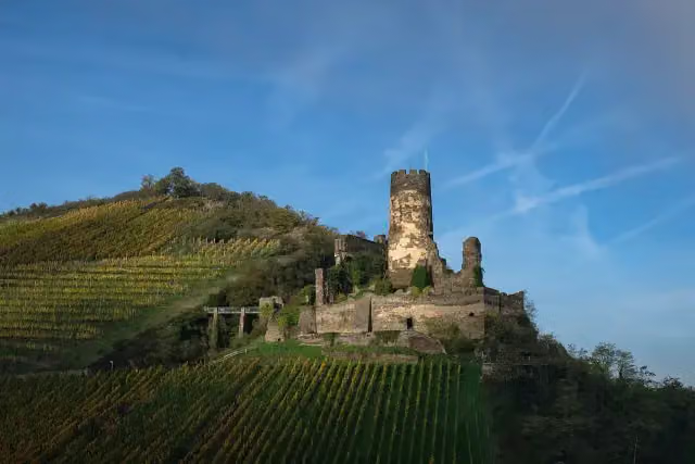 Fürstenberg CastleCastle · 199 m from the route
- 16
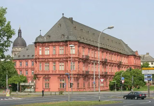 Kurfürstliches SchlossCastle · 99 m from the route
- 17
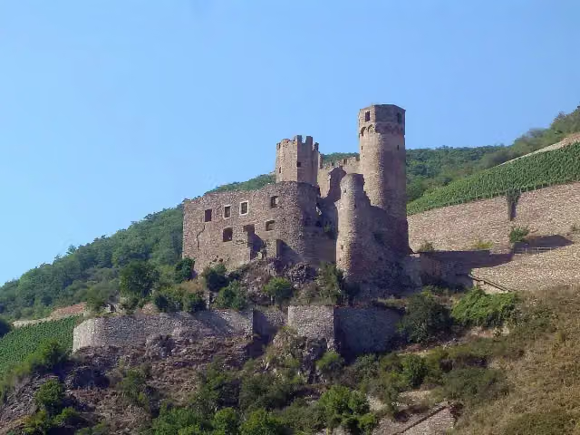 EhrenfelsCastle · 537 m from the route
- 18
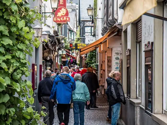 DrosselgasseAttraction · 888 m from the route
- 19
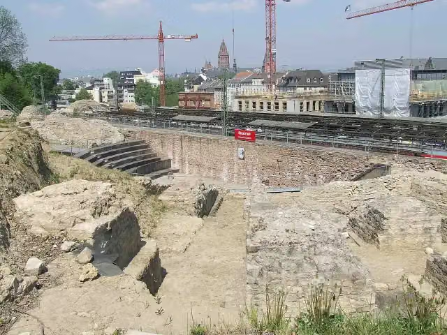 Roman Theatre Archaeological SiteArchaeological site · 1.4 km from the route
- 20
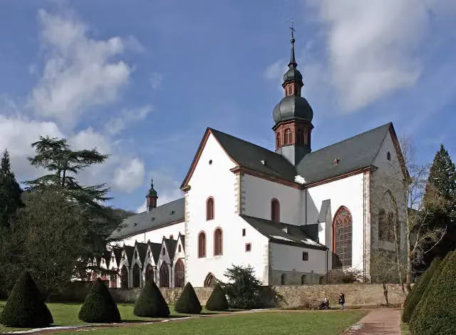 KlosterkircheAttraction · 4.7 km from the route
- 21
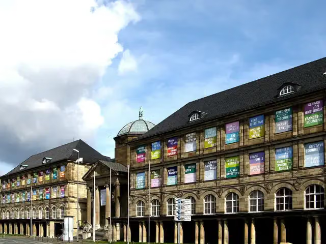 Museum WiesbadenMuseum · 5.8 km from the route
- 22
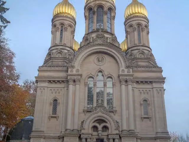 Russian Orthodox Church of Saint Elizabeth in WiesbadenAttraction · 7.8 km from the route
- 23
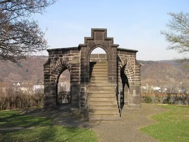 Royal ChairMonument · 330 m from the route
- 24
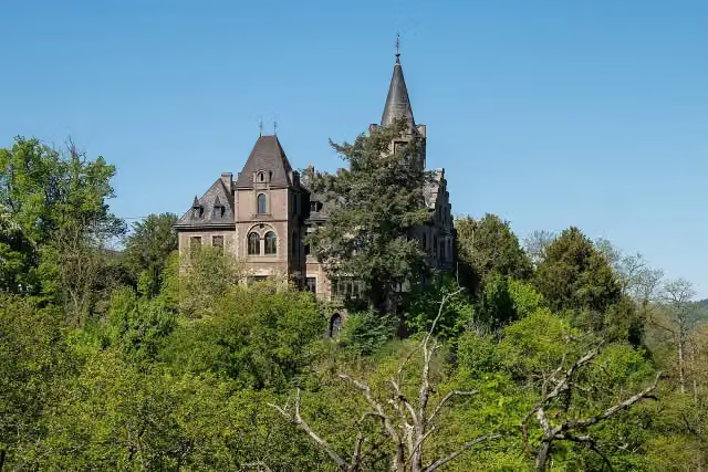 Schloss LiebeneckCastle · 925 m from the route
- 25
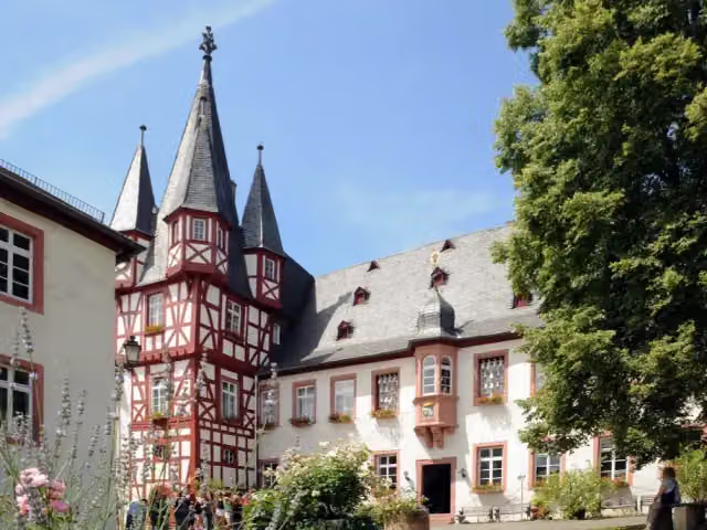 Siegfried's Mechanical Music CabinetMuseum · 989 m from the route
Explore more
More cycle routes around Koblenz
More nearby
Frequently asked questions
How long is Saar-Mosel-Main [Koblenz - Mainz]?
Saar-Mosel-Main [Koblenz - Mainz] is 100.9 km long. Allow ± 6:45 h of riding: 15 km an hour, without breaks.
Is this route a circular ride?
No, the route runs from Koblenz to Mainz.
Where does this route start?
The route starts in Koblenz.
How hard is this route?
Hard, with 125 m of climbing.
Are there toilets along this route?
Yes, there are 26 public toilets within 100 m of the route. The longest stretch without a toilet is 14.1 km.
Can you fill up with water along this route?
Yes, there are 8 water fountains and refill points within 100 m of the route.
What is there to see along this route?
Along the way you pass Alte Burg, Augenroller and Florinskirche.
Can I download this route as a GPX file?
Yes. Sign in with your Outdoor Pitstop account and choose Download GPX at the top of this page: 10 routes a month for free, unlimited with Pro.
Starting point
More routes from this place
Route data © OpenStreetMap contributors





