 Outdoor Pitstop
Cycle route · Perl · Updated on 14 November 2026
Mosel-Radweg cycle route
Mosel-Radweg is a cycle route of 247.4 km from Perl. Along the way you'll find 747 benches, 3 water fountains and refill points, 27 public toilets, 8 bike pumps and 1 honesty box.
i
i
i
The route step by step
From start to finish, with what you pass along the way and the distance in between.
- 247.4 km
- ± 16:30 h
- ↑ 235 m · ↓ 327 m
- Hard
- From A to B
- National route
Start in Perl
0 km35.8 km · 55 benches
Bike pump
35.8 km12.9 km · 51 benches
Public toilet
48.7 km162 m
2 public toilets
48.8 km966 m · bench

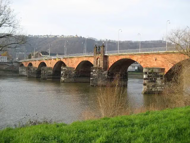
Römerbrücke
49.8 kmAttraction · Audio story · 2 min
11.7 km · 27 benches
Public toilet
61.5 km5.6 km · 28 benches
Public toilet
67.2 km3.1 km · 12 benches
Public toilet
70.3 km2.3 km · 7 benches
Public toilet
72.6 km3.6 km · 9 benches
Public toilet
76.2 km244 m · bench
Water point
76.4 km12.1 km · 19 benches
Public toilet
88.6 km5.5 km · 8 benches
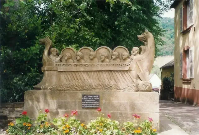
Neumagener Weinschiff
94.1 kmMonument
12.3 km · 12 benches
Public toilet and bike pump
106.4 km598 m
Public toilet
107 km3.5 km · bench
Public toilet
110.6 km5.3 km · 13 benches
Bike pump
115.9 km2.3 km · 18 benches
Public toilet and bike pump
118.1 km158 m · 15 benches
St. Michael
118.3 km2 public toilets and bike pump
5.5 km · 21 benches
Burgruine Rosenburg;Ruine Rosenburg/Kunibertsburg
123.8 kmRuins
1.2 km
Public toilet
125 km11.8 km · 23 benches
Public toilet
136.8 km325 m · 2 benches
Bike pump
137.1 km3.7 km · 43 benches
Public toilet
140.8 km1.3 km · 36 benches
Water point
142.1 km18.1 km · 31 benches
Water point
160.1 km14.8 km · 48 benches
Public toilet
174.9 km9.6 km · 20 benches
Public toilet
184.5 km1.6 km · 5 benches
Public toilet
186.2 km4.3 km · 4 benches
Public toilet
190.5 km
Show the other 13 steps
4.8 km · 24 benches
2 public toilets
195.3 km4.1 km · 49 benches
Public toilet
199.4 km20.9 km · 16 benches
Public toilet
220.3 km8.3 km · 5 benches
Schloss von der Leyen
228.6 kmCastle
330 m
Schloß Liebieg
228.9 kmCastle
1.7 km · 4 benches
Honesty box
230.6 km12 km · 58 benches
Bike pump
242.6 km539 m
Bike pump
243.1 km2.5 km · 21 benches
Mosellum
245.6 kmMuseum
981 m · 16 benches
Alte Burg
246.5 kmCastle
198 m · 8 benches
Augenroller and 1 more
246.7 kmFlorinskirche
335 m · 18 benches
Peter-Altmeier-Denkmal and 1 more
247.1 kmKastorbrunnen
343 m · 18 benches
Finish
247.4 kmAt the finish: Kaiser-Wilhelm-Denkmal, Ludwig-Museum im Deutschherrenhaus and public toilet.
Longest stretch without a toilet: 48.7 kmBetween 0 km and 48.7 km there is no public toilet within 100 m of the route.
The route with the pitstops and sights within 100 m of it.
14 sights along the way
In the order you pass them. With the Outdoor Pitstop app you hear their story on the spot. 6 more along the route are on the map.
- Audio story · 2 min
i
Photo: Stefan Kühn · Wikimedia Commons · CC BY-SA 3.0View the photo on Wikimedia CommonsRömerbrücke
Attraction · after 49.8 km
i
Photo: Siego · Wikimedia Commons · CC BY-SA 3.0View the photo on Wikimedia CommonsMonument · after 94.1 km
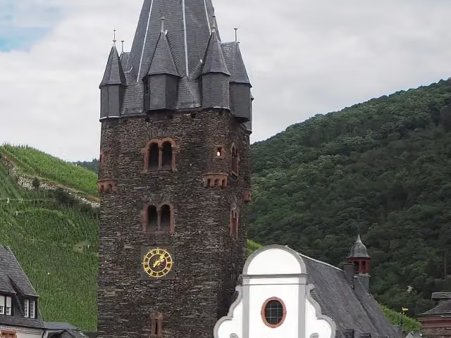
i
Photo: Uwe Barghaan · Wikimedia Commons · CC BY-SA 3.0View the photo on Wikimedia CommonsAttraction · after 118.3 km
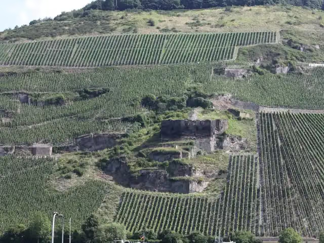
i
Photo: JS Lonscet · Wikimedia Commons · CC BY-SA 4.0View the photo on Wikimedia CommonsRuins · after 123.8 km
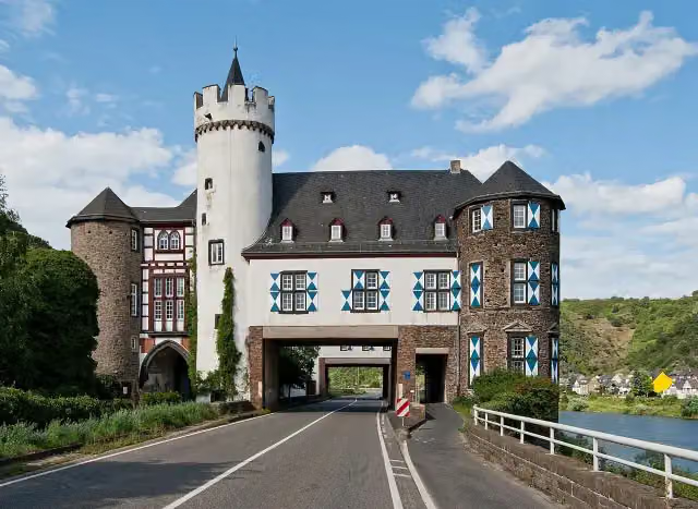
i
Photo: kaʁstn Disk/Cat · Wikimedia Commons · CC BY-SA 3.0 deView the photo on Wikimedia CommonsCastle · after 228.6 km
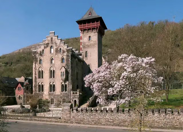
i
Photo: Rolf Kranz · Wikimedia Commons · CC BY-SA 4.0View the photo on Wikimedia CommonsCastle · after 228.9 km
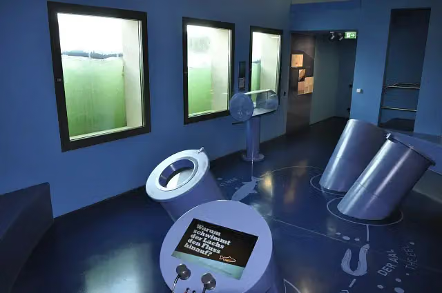
i
Photo: Grammoha · Wikimedia Commons · CC BY-SA 4.0View the photo on Wikimedia CommonsMuseum · after 245.6 km
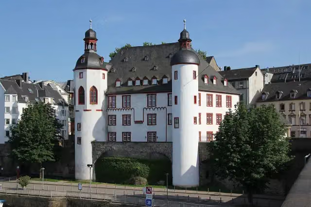
i
Photo: Holger Weinandt · Wikimedia Commons · CC BY-SA 3.0 deView the photo on Wikimedia CommonsCastle · after 246.5 km
Elevation and terrain
- Up
- ↑ 235 m
- Down
- ↓ 327 m
- Highest point
- 160 m
- Lowest point
- 66 m
Nowhere steeper than 5%.
Elevation from Copernicus GLO-30 (European Union and ESA), smoothed.
produced using Copernicus WorldDEM-30 © DLR e.V. 2010-2014 and © Airbus Defence and Space GmbH 2014-2018 provided under COPERNICUS by the European Union and ESA; all rights reserved
Way types
247.4 km in total- Path: 123.7 km
- Street: 40.9 km
- Track: 35.7 km
- Busy road: 26.4 km
- Road: 12.5 km
- Cycle path: 7.2 km
- Footpath (walk your bike): 675 m
Surfaces
247.4 km in total- Asphalt: 229.1 km
- Paved: 15.6 km
- Gravel: 150 m
- Unknown: 2.1 km
About the cycle route Mosel-Radweg
Updated on 14 November 2026, with data from OpenStreetMap, the AHN and Copernicus.
Where do you cycle?
Mosel-Radweg is a cycle route of 247.4 km that starts in Perl. It does not end where it starts. Along the way you pass Römerbrücke (after 49.8 km), Neumagener Weinschiff (after 94.1 km) and St. Michael (after 118.3 km).
How hard is the route?
You climb 235 m in total and descend 327 m. Allow ± 16:30 h, without breaks. The level is hard.
What roads do you cycle on?
The longest part is path (123.7 km), street (40.9 km) and track (35.7 km). Of the surface, 229.1 km asphalt and 15.6 km paved. For 2.1 km the surface is not known.
Pitstops along the way
Within 100 metres of the route there are 747 benches, 3 water fountains and refill points, 27 public toilets, 8 bike pumps and 1 honesty box. You can fill your bottle after 76.4 km, after 142.1 km and after 160.1 km. The longest stretch without a toilet is 48.7 km. The Outdoor Pitstop app navigates you there.
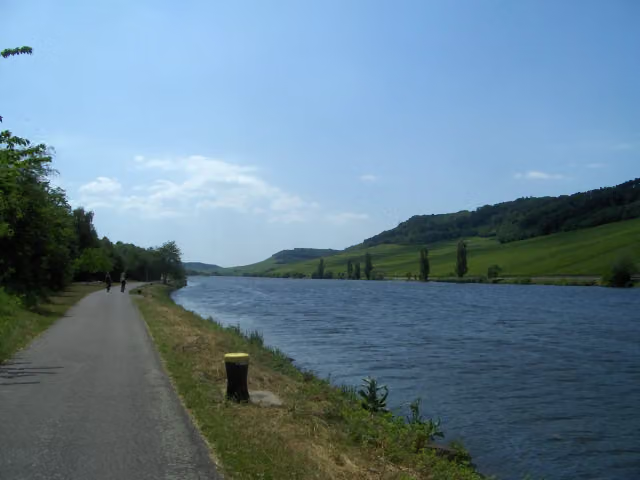
The Mosel-Radweg (Moselle Cycle Route) is a 247 km long-distance cycle route along the German Moselle, from Perl in Saarland to the river's mouth on the Rhine at the Deutsches Eck in Koblenz. It runs via Konz, Trier, Neumagen-Dhron, Bernkastel-Kues, Traben-Trarbach and Zell through the wine villages on the river's bends. In Trier you pass the Roman bridge, in Neumagen the Neumagen wine ship. Almost all of it is asphalt; half runs on paths of its own and about a tenth next to busy roads. We know of 27 toilets, but drinking water at only 3 places.
Source: Wikipedia (CC BY-SA)
Cycle routes nearby
2Sights nearby
Within 10 km of the route, best known first.
- 1
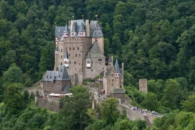 Eltz CastleAttraction · 2.5 km from the route
- 2
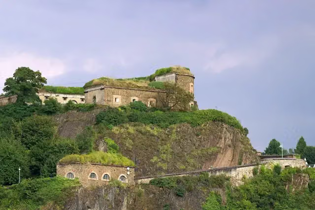 Ehrenbreitstein FortressCastle · 681 m from the route
- 3
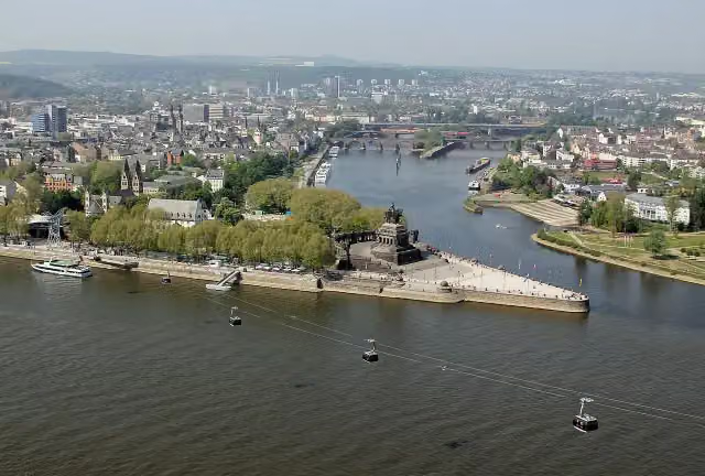 Deutsches EckViewpoint · 231 m from the route
- 4
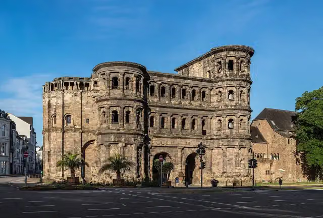 Porta NigraAttraction · 1.1 km from the route
- 5
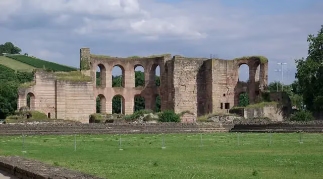 KaiserthermenArchaeological site · 1.2 km from the route
- 6
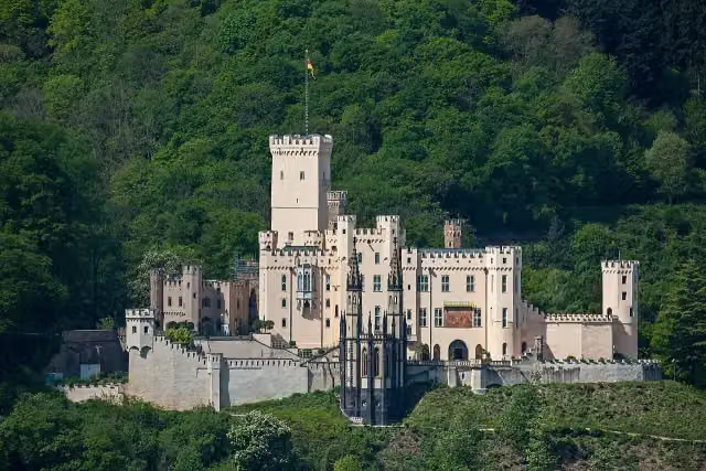 Schloss StolzenfelsCastle · 4.1 km from the route
- 7
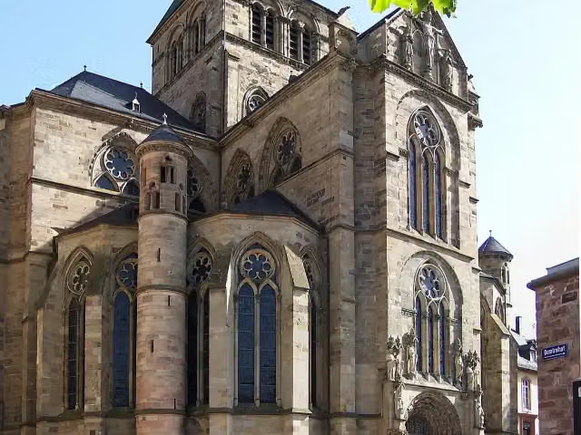 LiebfrauenkircheAttraction · 1.2 km from the route
- 8
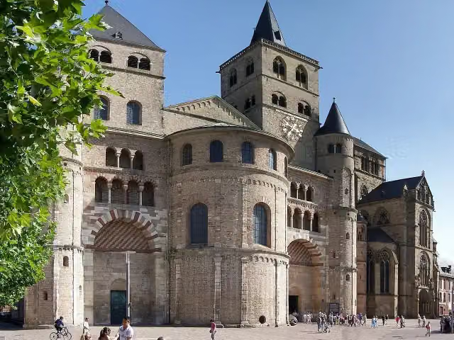 Dom St. Peter zu TrierAttraction · 1.2 km from the route
- 9
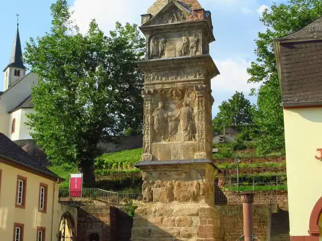 Igeler SäuleAttraction · 342 m from the route
- 10
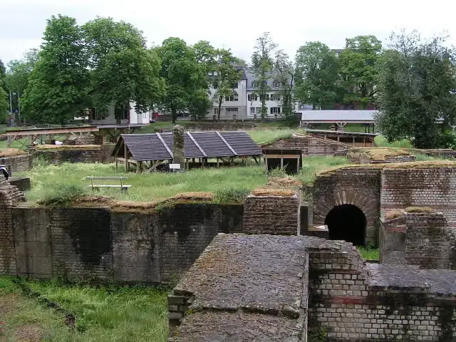 BarbarathermenArchaeological site · 370 m from the route
- 11
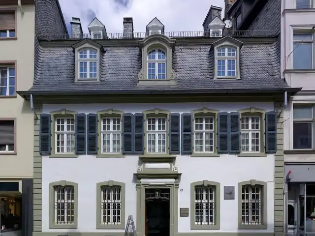 Karl-Marx-HausMuseum · 723 m from the route
- 12
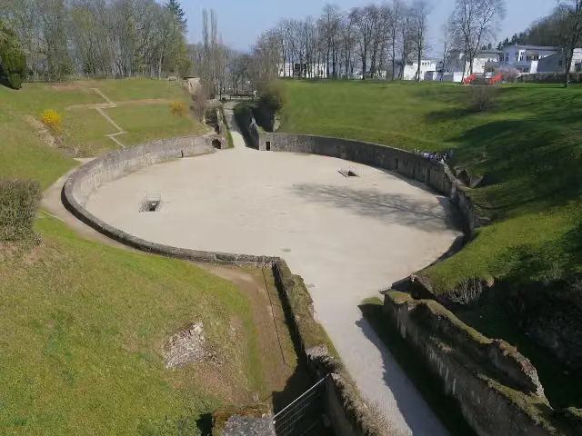 AmphitheaterAttraction · 1.7 km from the route
- 13
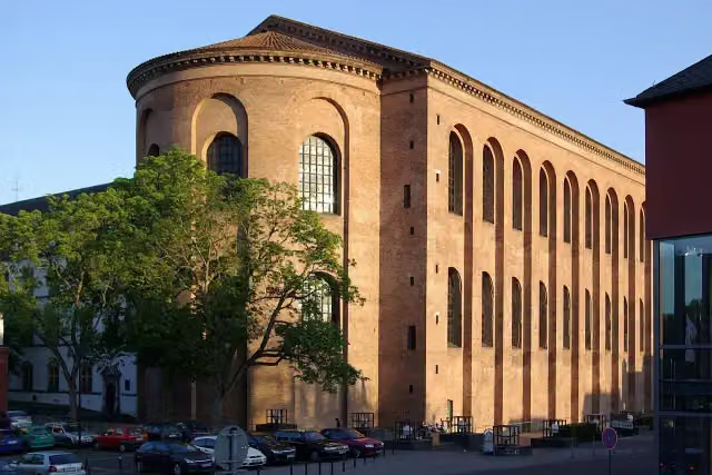 KonstantinbasilikaAttraction · 1.3 km from the route
- 14
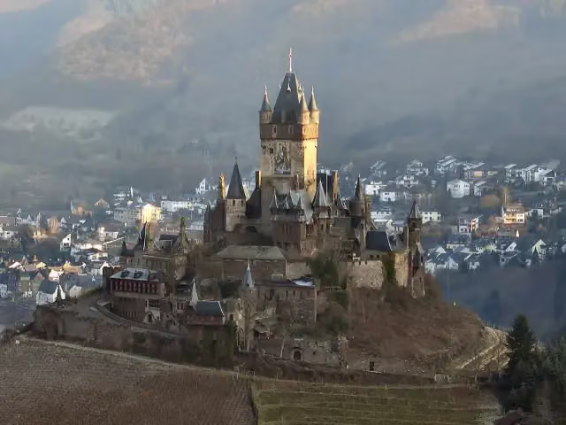 Cochem CastleAttraction · 115 m from the route
- 15
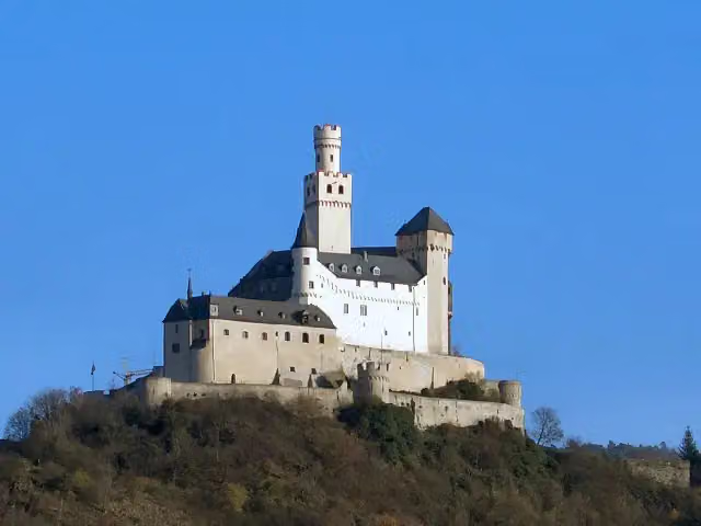 MarksburgMuseum · 9.5 km from the route
- 16
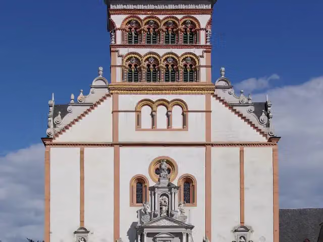 St. MatthiasAttraction · 326 m from the route
- 17
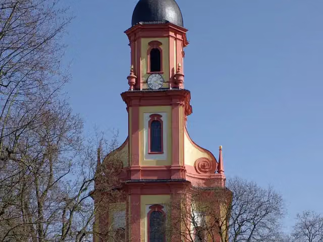 St. PaulinAttraction · 1.2 km from the route
- 18
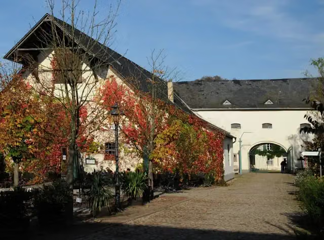 Freilichtmuseum Roscheider HofMuseum · 801 m from the route
- 19
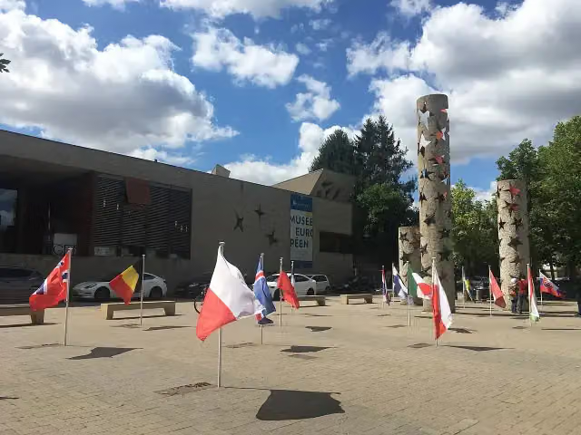 European Museum SchengenMuseum · 264 m from the route
- 20
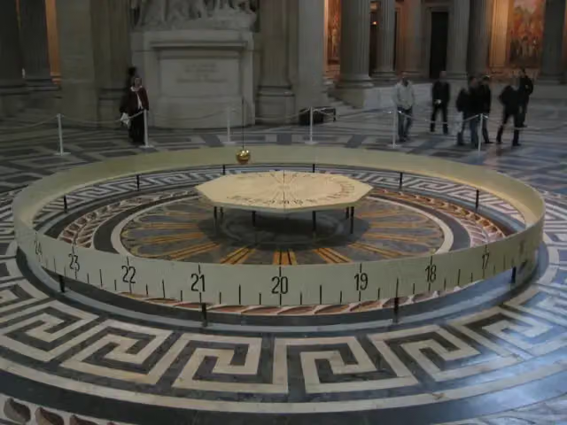 Foucault pendulumAttraction · 378 m from the route
- 21
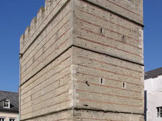 FrankenturmAttraction · 926 m from the route
- 22
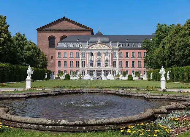 Electoral PalaceAttraction · 1.3 km from the route
- 23
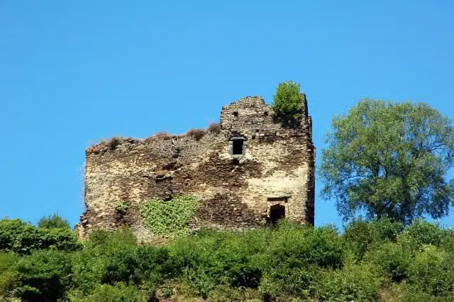 Burg TrutzeltzAttraction · 2.7 km from the route
- 24
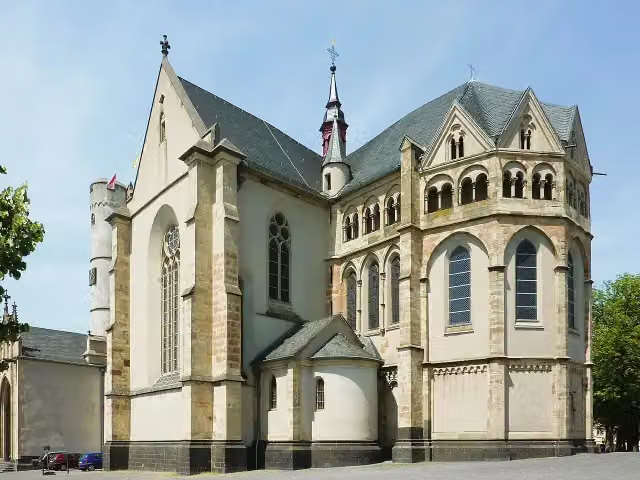 Stiftskirche St. Martin und SeverusAttraction · 4 km from the route
- 25
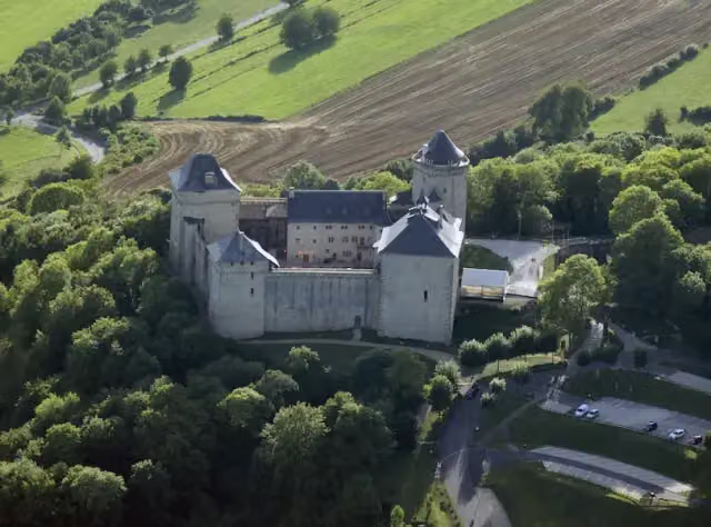 Malbrouck CastleAttraction · 4.5 km from the route
Explore more
More cycle routes around Perl
More nearby
Frequently asked questions
How long is Mosel-Radweg?
Mosel-Radweg is 247.4 km long. Allow ± 16:30 h of riding: 15 km an hour, without breaks.
Is this route a circular ride?
No, the route starts and ends at different spots.
Where does this route start?
The route starts in Perl.
How hard is this route?
Hard, with 235 m of climbing.
Are there toilets along this route?
Yes, there are 27 public toilets within 100 m of the route. The longest stretch without a toilet is 48.7 km.
Can you fill up with water along this route?
Yes, there are 3 water fountains and refill points within 100 m of the route.
What is there to see along this route?
Along the way you pass Römerbrücke, Neumagener Weinschiff and St. Michael.
Can I download this route as a GPX file?
Yes. Sign in with your Outdoor Pitstop account and choose Download GPX at the top of this page: 10 routes a month for free, unlimited with Pro.
Starting point
More routes from this place
Route data © OpenStreetMap contributors





